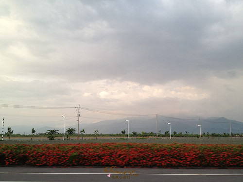
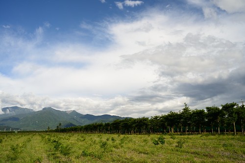
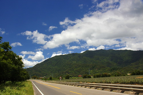
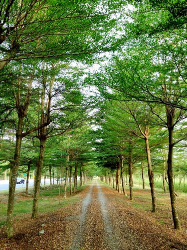
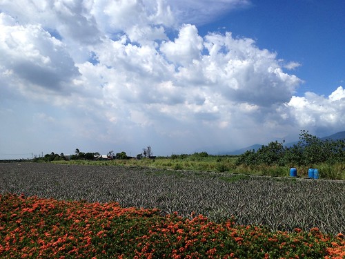
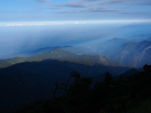
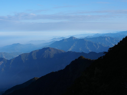
Elevation of No. 18, Guyi Rd, Laiyi Township, Pingtung County, Taiwan
Location: Taiwan > Pingtung County > Laiyi Township > 丹林村 >
Longitude: 120.650827
Latitude: 22.5273494
Elevation: 123m / 404feet
Barometric Pressure: 100KPa
Related Photos:
Topographic Map of No. 18, Guyi Rd, Laiyi Township, Pingtung County, Taiwan
Find elevation by address:

Places near No. 18, Guyi Rd, Laiyi Township, Pingtung County, Taiwan:
No. 64, Guyi Rd, Laiyi Township, Pingtung County, Taiwan
丹林村
Taiwan, Pingtung County, Laiyi Township, 丹林路1號
來義
Taiwan, Pingtung County, Laiyi Township, 20
義林村
No. 96, Xinrong Rd, Wanluan Township, Pingtung County, Taiwan
No. 30, Pinghecun Communication Rd, Taiwu Township, Pingtung County, Taiwan
No. 4, Dahoubuluo Communication Rd, Laiyi Township, Pingtung County, Taiwan
平和村
Laiyi Township
新置村
No. 28, Xinguang Rd, Wanluan Township, Pingtung County, Taiwan
Life In The Sky
Taiwan, Pingtung County, Taiwu Township, 潭南巷54號
No. 42, Pingshan Rd, Xinpi Township, Pingtung County, Taiwan
武潭村
Taiwan, Pingtung County, Taiwu Township, 良武巷1號
Linhou Silin
萬隆村
Recent Searches:
- Elevation of Vista Blvd, Sparks, NV, USA
- Elevation of 15th Ave SE, St. Petersburg, FL, USA
- Elevation of Beall Road, Beall Rd, Florida, USA
- Elevation of Leguwa, Nepal
- Elevation of County Rd, Enterprise, AL, USA
- Elevation of Kolchuginsky District, Vladimir Oblast, Russia
- Elevation of Shustino, Vladimir Oblast, Russia
- Elevation of Lampiasi St, Sarasota, FL, USA
- Elevation of Elwyn Dr, Roanoke Rapids, NC, USA
- Elevation of Congressional Dr, Stevensville, MD, USA

