Elevation of Taiwan, 屏東縣來義鄉丹林村
Location: Taiwan > Pingtung County > Laiyi Township >
Longitude: 120.648750
Latitude: 22.5167079
Elevation: 405m / 1329feet
Barometric Pressure: 97KPa
Elevation Map:
Satellite Map:
Related Photos:

#三平#fujifilm#X100

一顆太陽 Sun The Sun Sketch Coconut Trees Sea View Sunset On The Train at 臺鐵枋寮車站 TRA Fangliao Station
taiwan2009-058.jpg
Surrounding View
Surrounding View

taiwan2009-104.jpg
taiwan2009-133.jpg

一個很像土地公廟的建築

20150226-DSC04381

20150226-DSC04386

First view of abandoned Dashun Hospital 大順醫院

An oblique view of Dashun Hospital 大順醫院

沿山公路風景 Yanshan Highway, Ping-tung city, Taiwan
2012-The Sky_012
20130729墾丁遊
2012-The Sky_006
2012-The Sky_015

斜射光
墾丁go

2011-11-16_17-01-43_15
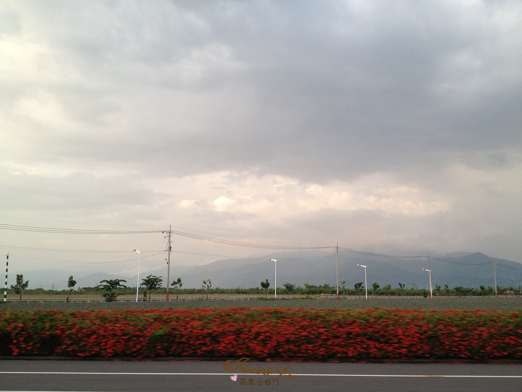
花東小旅行 DAY8

2012-The Sky_016

20151227 排骨陳竹田別野一日遊
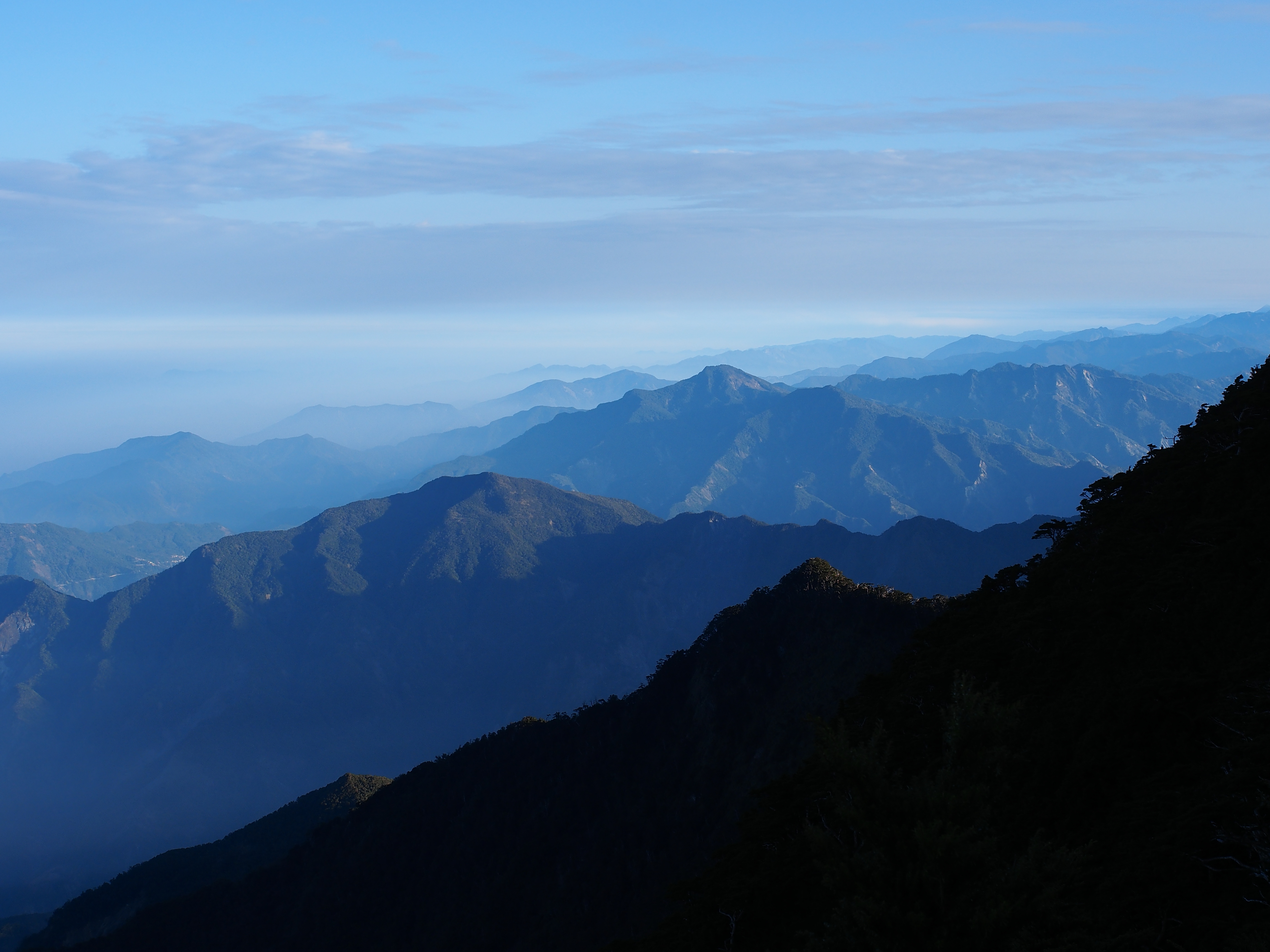
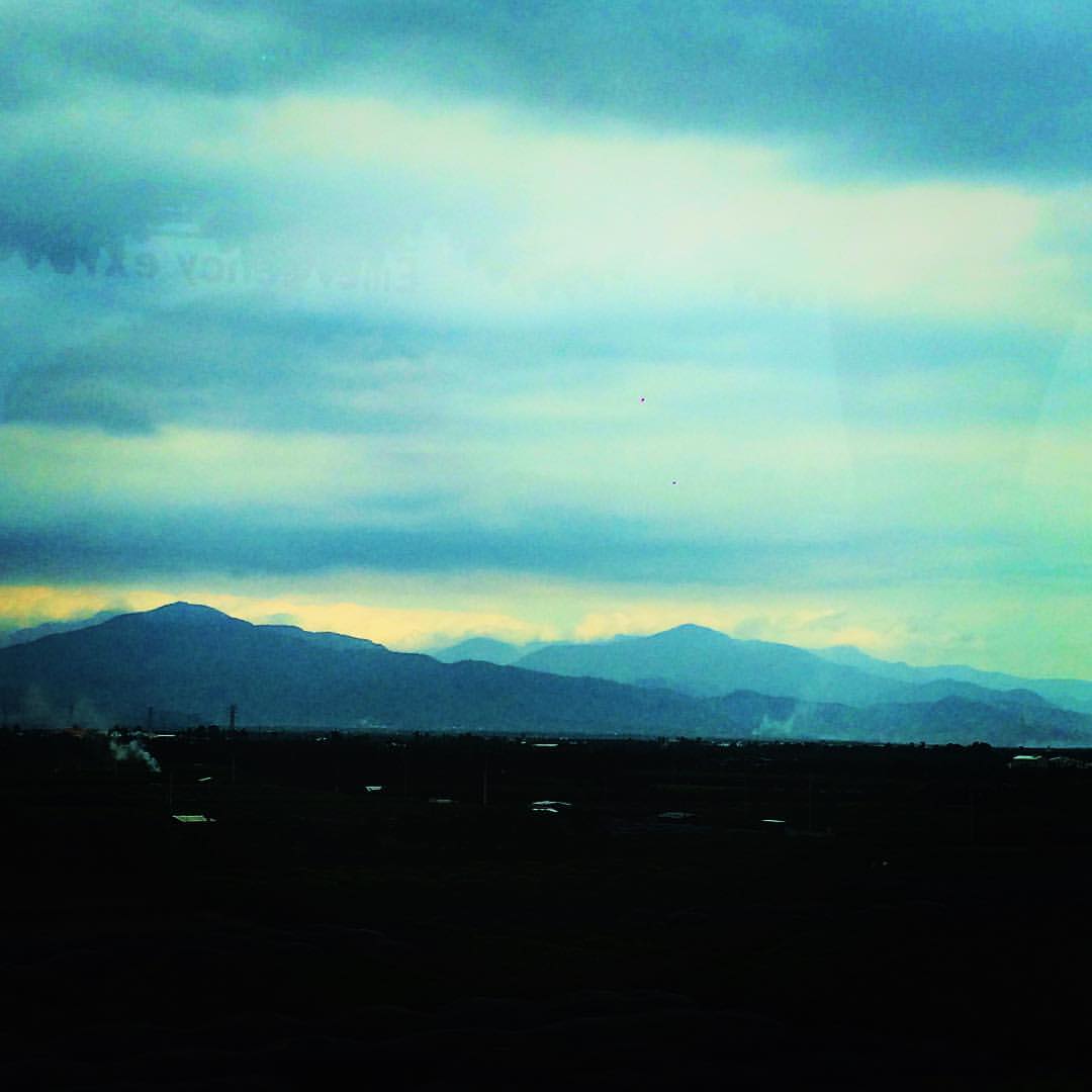
中央山脈南段
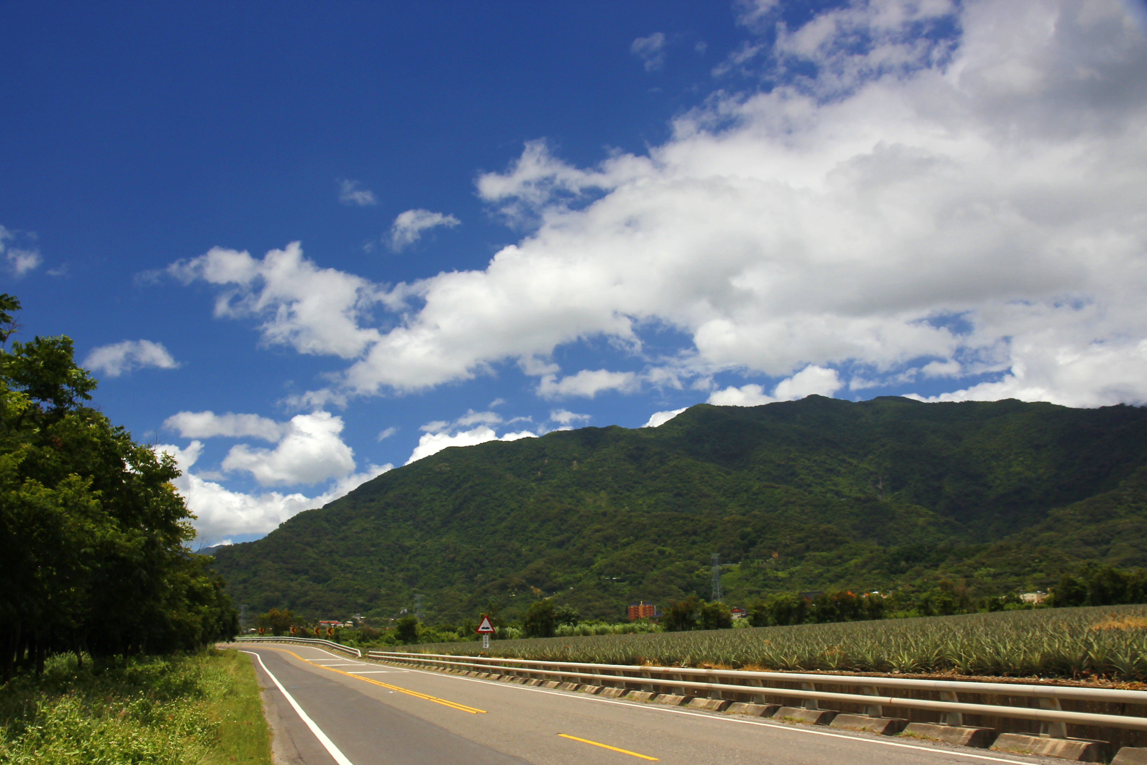
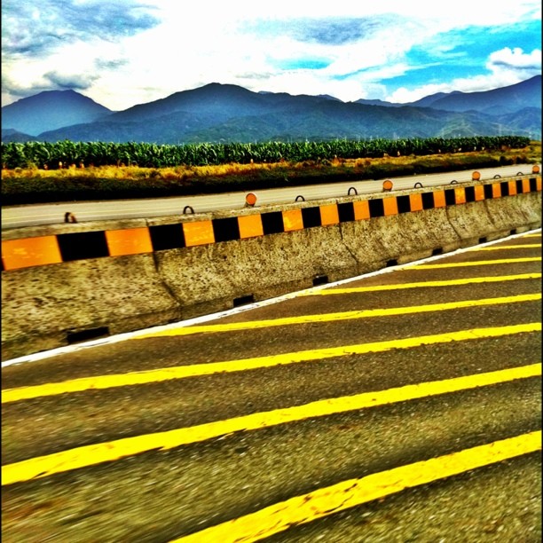
沿山公路
#mountains
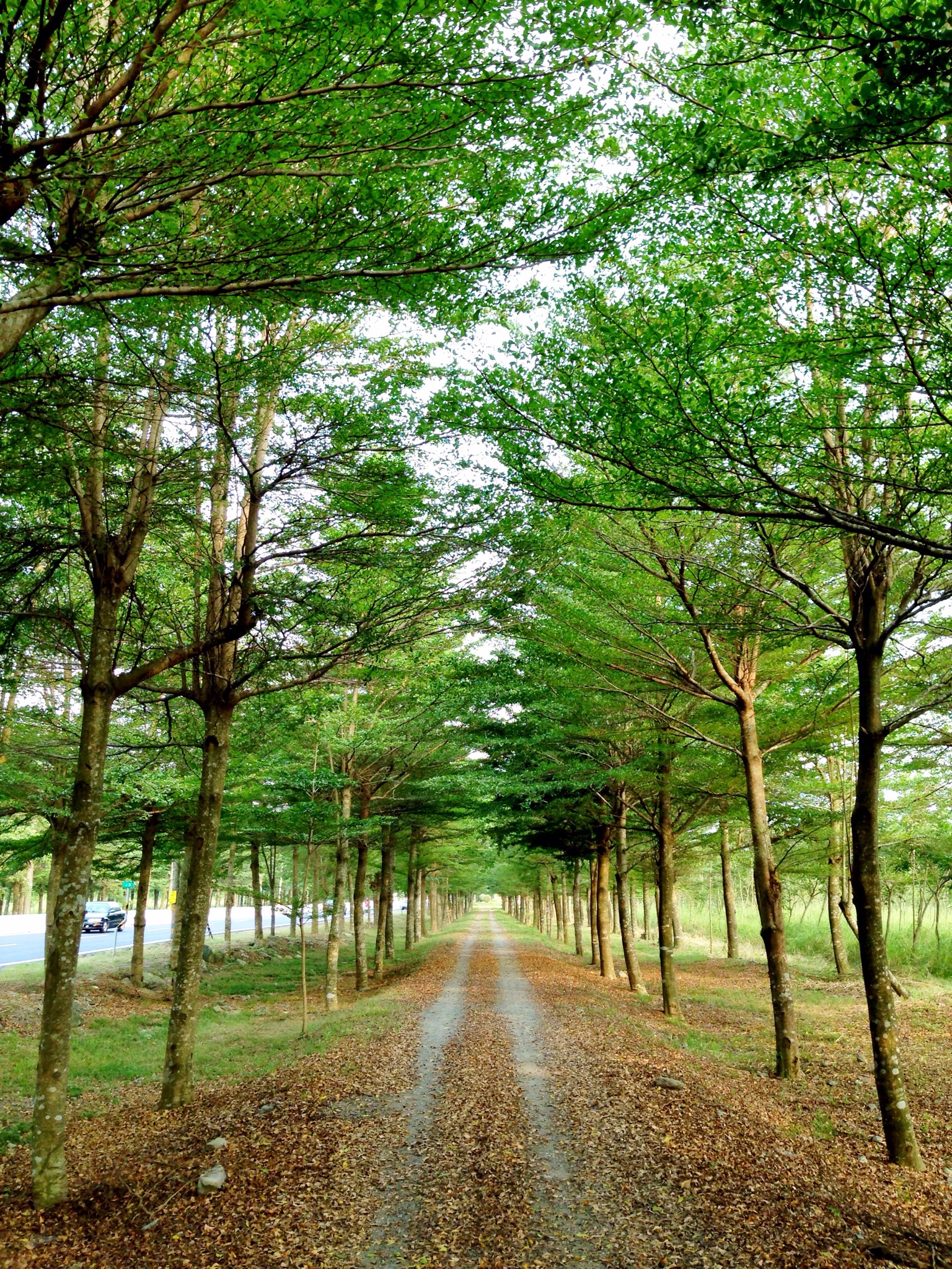
Trees at 林後四林平地森林園區
Topographic Map of Taiwan, 屏東縣來義鄉丹林村
Find elevation by address:

Places in Taiwan, 屏東縣來義鄉丹林村:
Taiwan, Pingtung County, Laiyi Township, 丹林路1號
No. 18, Guyi Rd, Laiyi Township, Pingtung County, Taiwan
No. 64, Guyi Rd, Laiyi Township, Pingtung County, Taiwan
Places near Taiwan, 屏東縣來義鄉丹林村:
No. 18, Guyi Rd, Laiyi Township, Pingtung County, Taiwan
No. 64, Guyi Rd, Laiyi Township, Pingtung County, Taiwan
Taiwan, Pingtung County, Laiyi Township, 丹林路1號
來義
Taiwan, Pingtung County, Laiyi Township, 20
No. 96, Xinrong Rd, Wanluan Township, Pingtung County, Taiwan
義林村
Laiyi Township
No. 30, Pinghecun Communication Rd, Taiwu Township, Pingtung County, Taiwan
No. 28, Xinguang Rd, Wanluan Township, Pingtung County, Taiwan
新置村
No. 4, Dahoubuluo Communication Rd, Laiyi Township, Pingtung County, Taiwan
平和村
No. 42, Pingshan Rd, Xinpi Township, Pingtung County, Taiwan
Life In The Sky
萬隆村
Linhou Silin
Taiwan, Pingtung County, Taiwu Township, 潭南巷54號
No. 62, Zhongshan Rd, Xinpi Township, Pingtung County, Taiwan
武潭村
Recent Searches:
- Elevation of 72-31 Metropolitan Ave, Middle Village, NY, USA
- Elevation of 76 Metropolitan Ave, Brooklyn, NY, USA
- Elevation of Alisal Rd, Solvang, CA, USA
- Elevation of Vista Blvd, Sparks, NV, USA
- Elevation of 15th Ave SE, St. Petersburg, FL, USA
- Elevation of Beall Road, Beall Rd, Florida, USA
- Elevation of Leguwa, Nepal
- Elevation of County Rd, Enterprise, AL, USA
- Elevation of Kolchuginsky District, Vladimir Oblast, Russia
- Elevation of Shustino, Vladimir Oblast, Russia