Elevation of Switzerland Trail, Virginia, USA
Location: United States > Virginia > Bath County > Valley Springs > Hot Springs >
Longitude: -79.882859
Latitude: 38.028061
Elevation: 595m / 1952feet
Barometric Pressure: 94KPa
Elevation Map:
Satellite Map:
Related Photos:
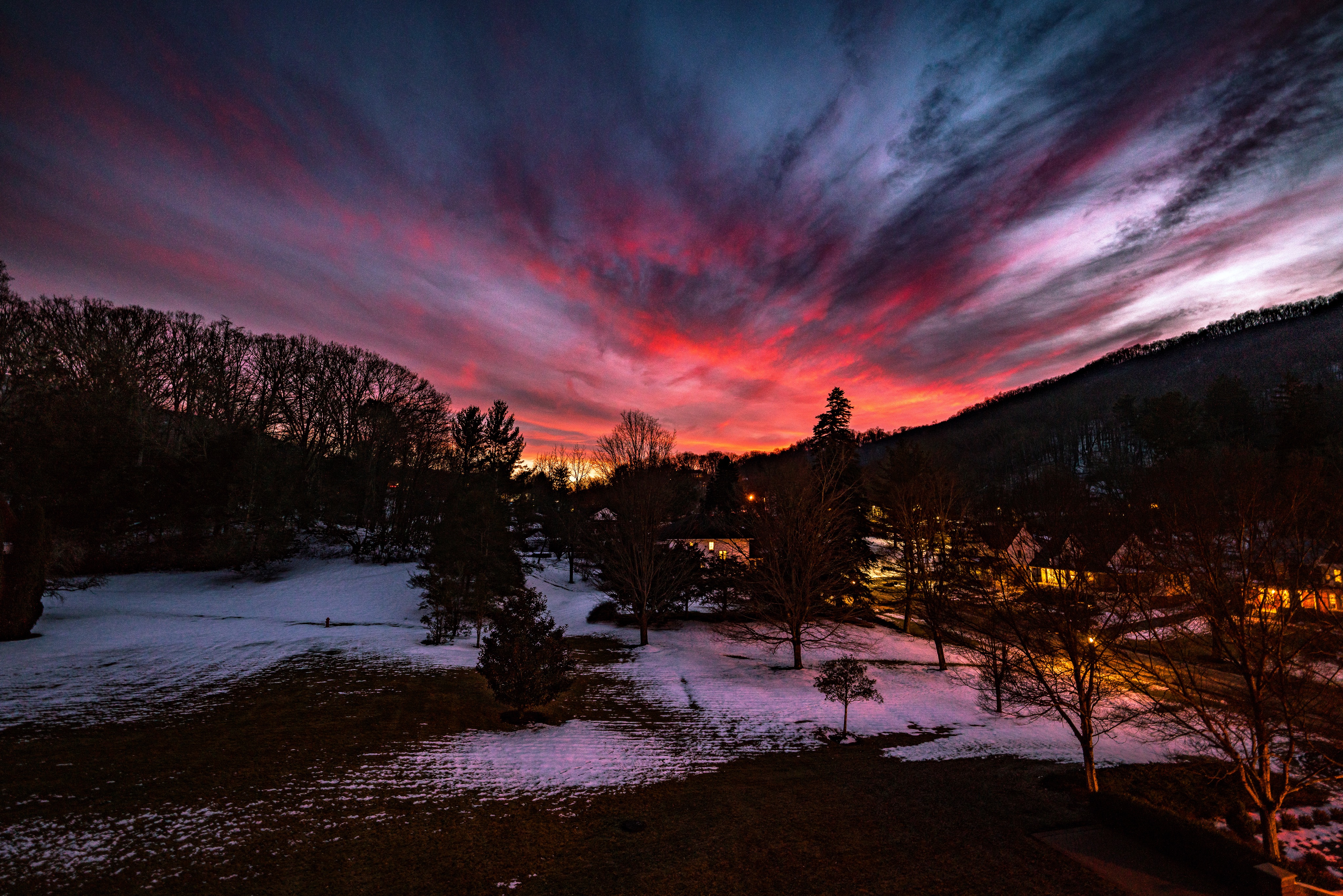
Room with a view

Garden view from the fitness center.

View from Dan Ingalls Overlook
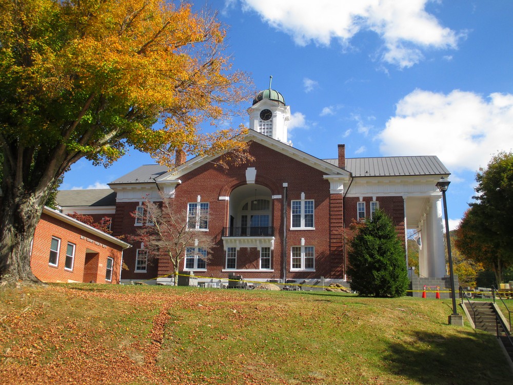
Side View of Bath County (VA) Courthouse
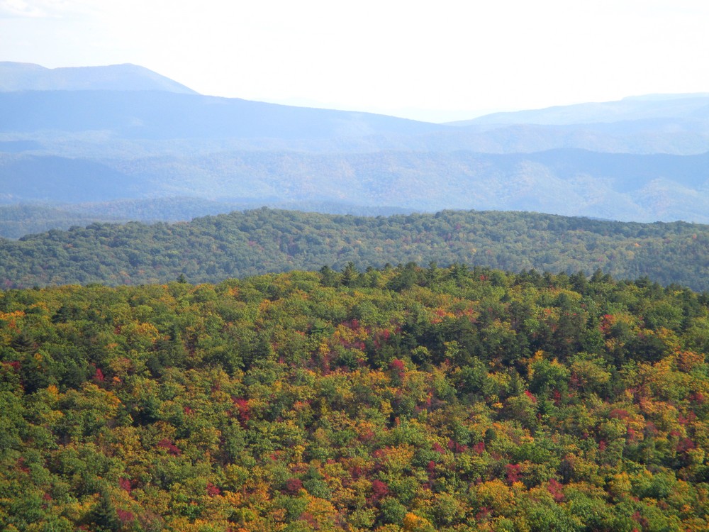
Over the Treetops

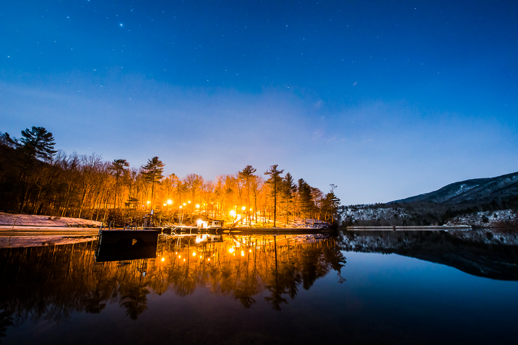
That Dam Lake

2016 08 16 Bath County CH

Jefferson Pools

Lake Moomaw - Snow. Ice. Water.

Think Outside photo contest Douthat State Park

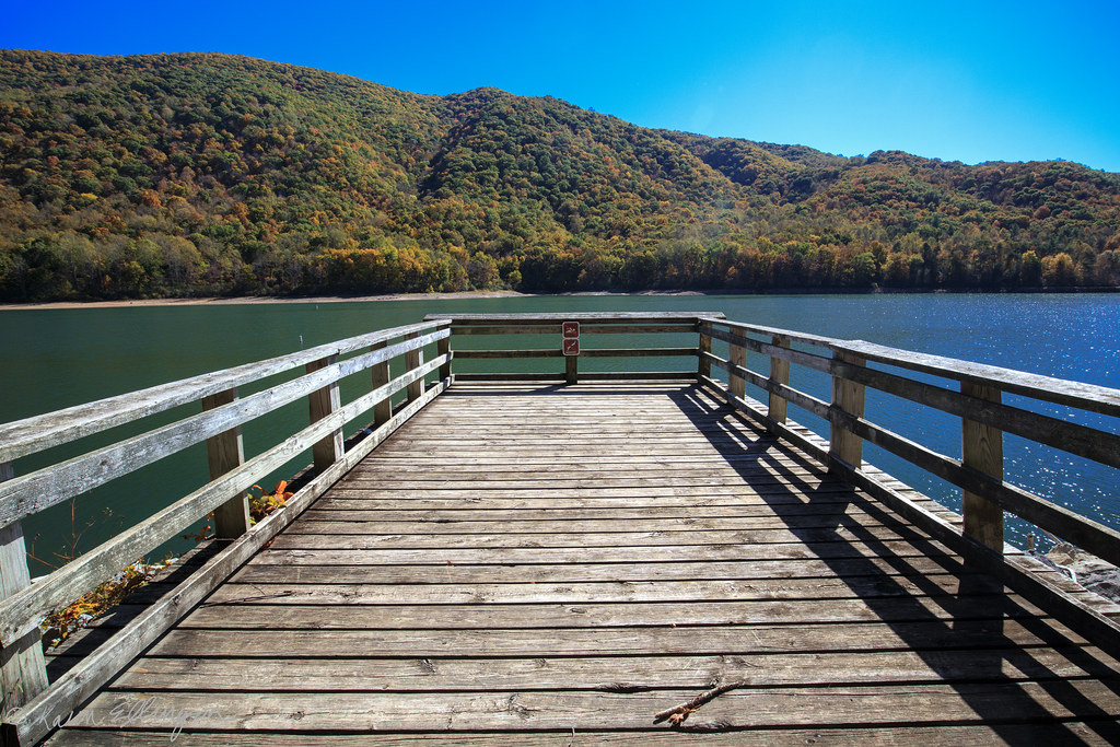
Lake View - Douthat State Park, Clifton Forge, Virginia - by Paul Diming

The Homestead Lobby

Think Outside photo contest Douthat State Park

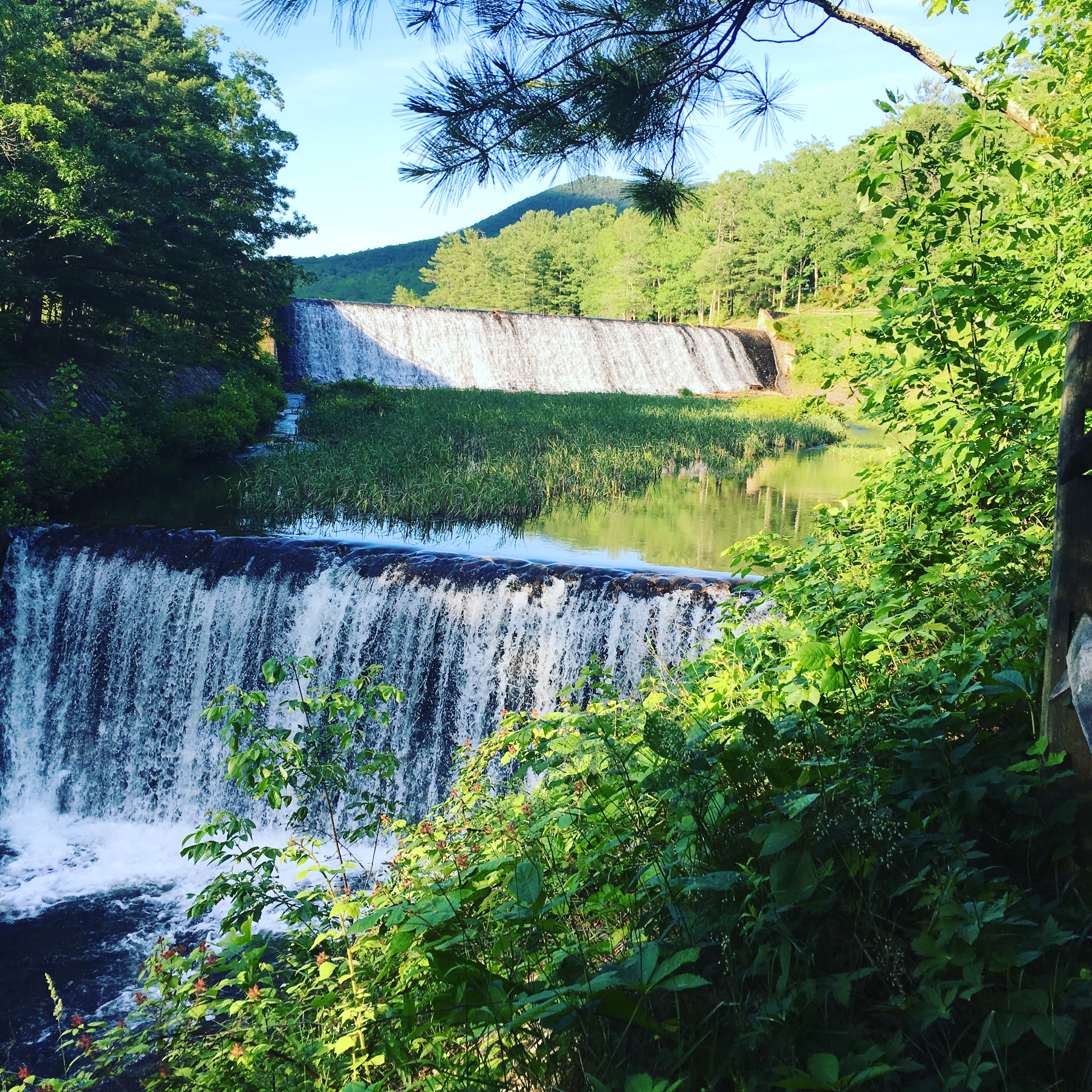
view from Gathright Dam

Tuscarora Overlook

view from Gathright Dam

Douthat Lake

DAN INGALLS OVERLOOK

Tennis Courts

DO-9-28-20 Trees at the Discovery Center

DO Daddy and His Girls

2020.11.20.5035.D50 Lake Moomaw

2019.10.15.0168 Douthat State Park Sunrise

2019.10.15.0169 Douthat State Park Sunrise
Lake Moomaw (near Covington, VA)

Hidden Valley

2019.10.14.5658.02.D750 Douthat Sunset Time Lapse

The Homestead Panorama 2013

Back Creek, upstream of Blowing Springs Campground, George Washington National Forest, Bath County, Virginia 2
Douthat Lake Swimming Area

Jackson River, The Gorge, below Gathright Dam, George Washington National Forest, Alleghany County, Virginia 2

Get Outside Photo Contest entry Douthat State Park

Jackson River, The Gorge, below Gathright Dam, George Washington National Forest, Alleghany County, Virginia 1

Get Outside Photo Contest entry Douthat State Park

Hello DC!

2013.03.08.03 Lake Moomaw

Get Outdoors contest entry Douthat State Park
Get Outside Photo Contest entry Douthat State Park
Topographic Map of Switzerland Trail, Virginia, USA
Find elevation by address:

Places near Switzerland Trail, Virginia, USA:
Switzerland Trail
Switzerland Trail
Back Creek
6414 Jackson River Turnpike
Jackson River Turnpike, Hot Springs, VA, USA
Cedar Creek
Lake Bacova
Bacova
108 4 Wheel Dr
Hot Springs
The Omni Homestead Resort
106 Park Dr
312 Brighton Ln
93 Niblick Knoll Ln, Hot Springs, VA, USA
7696 Sam Snead Hwy
385 Ashwood Dr
25 Gatewood Dr, Warm Springs, VA, USA
71 Kingstown Ln
64 Deepwood Ln
Mountain Grove
Recent Searches:
- Elevation of Elwyn Dr, Roanoke Rapids, NC, USA
- Elevation of Congressional Dr, Stevensville, MD, USA
- Elevation of Bellview Rd, McLean, VA, USA
- Elevation of Stage Island Rd, Chatham, MA, USA
- Elevation of Shibuya Scramble Crossing, 21 Udagawacho, Shibuya City, Tokyo -, Japan
- Elevation of Jadagoniai, Kaunas District Municipality, Lithuania
- Elevation of Pagonija rock, Kranto 7-oji g. 8"N, Kaunas, Lithuania
- Elevation of Co Rd 87, Jamestown, CO, USA
- Elevation of Tenjo, Cundinamarca, Colombia
- Elevation of Côte-des-Neiges, Montreal, QC H4A 3J6, Canada