Elevation of Sweat Rd, Chesterhill, OH, USA
Location: United States > Ohio > Morgan County >
Longitude: -81.875627
Latitude: 39.452216
Elevation: 298m / 978feet
Barometric Pressure: 98KPa
Elevation Map:
Satellite Map:
Related Photos:
Rolling Countryside

Shinn Covered Bridge

buckeye trail

Pine forest at Boord State Nature Preserve
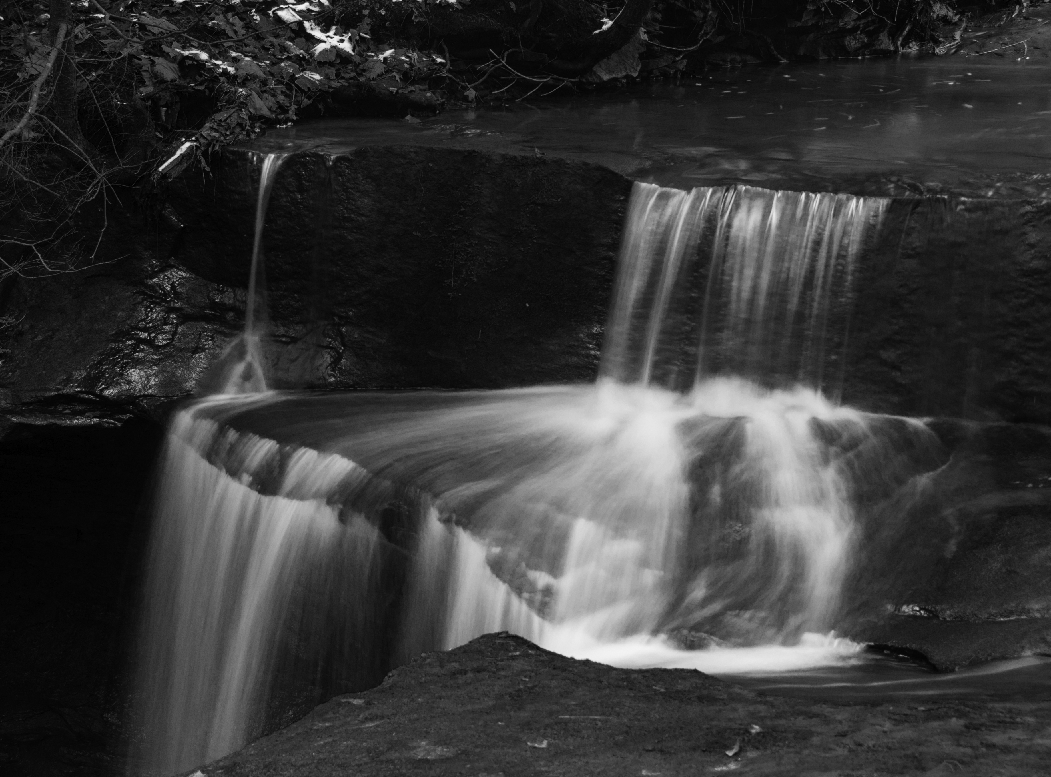
Waterfalls at Boord State Nature Preserve
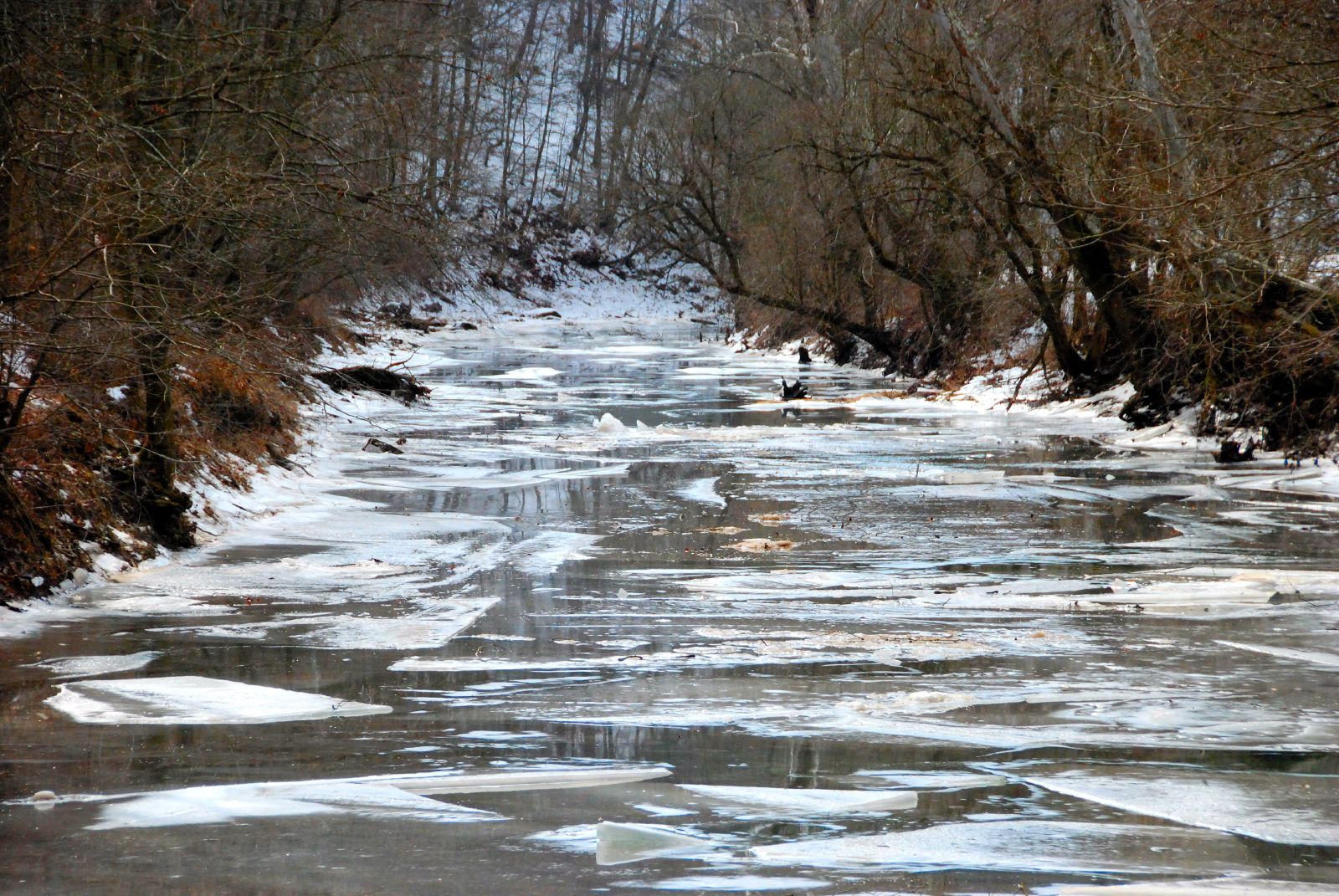
Ice Breaking Up

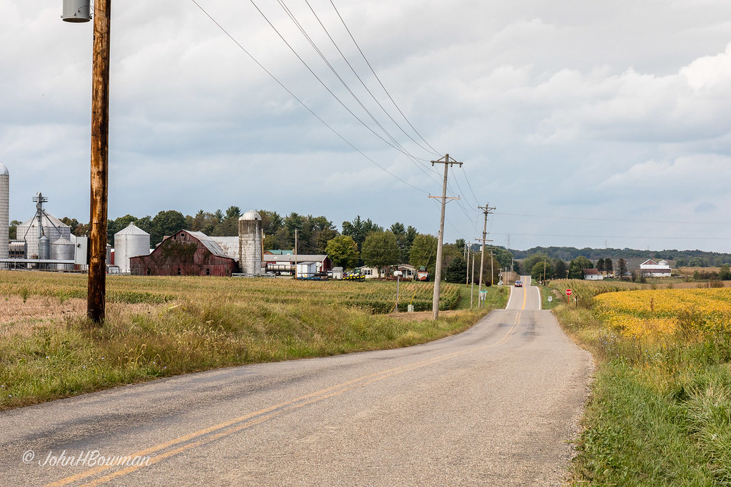
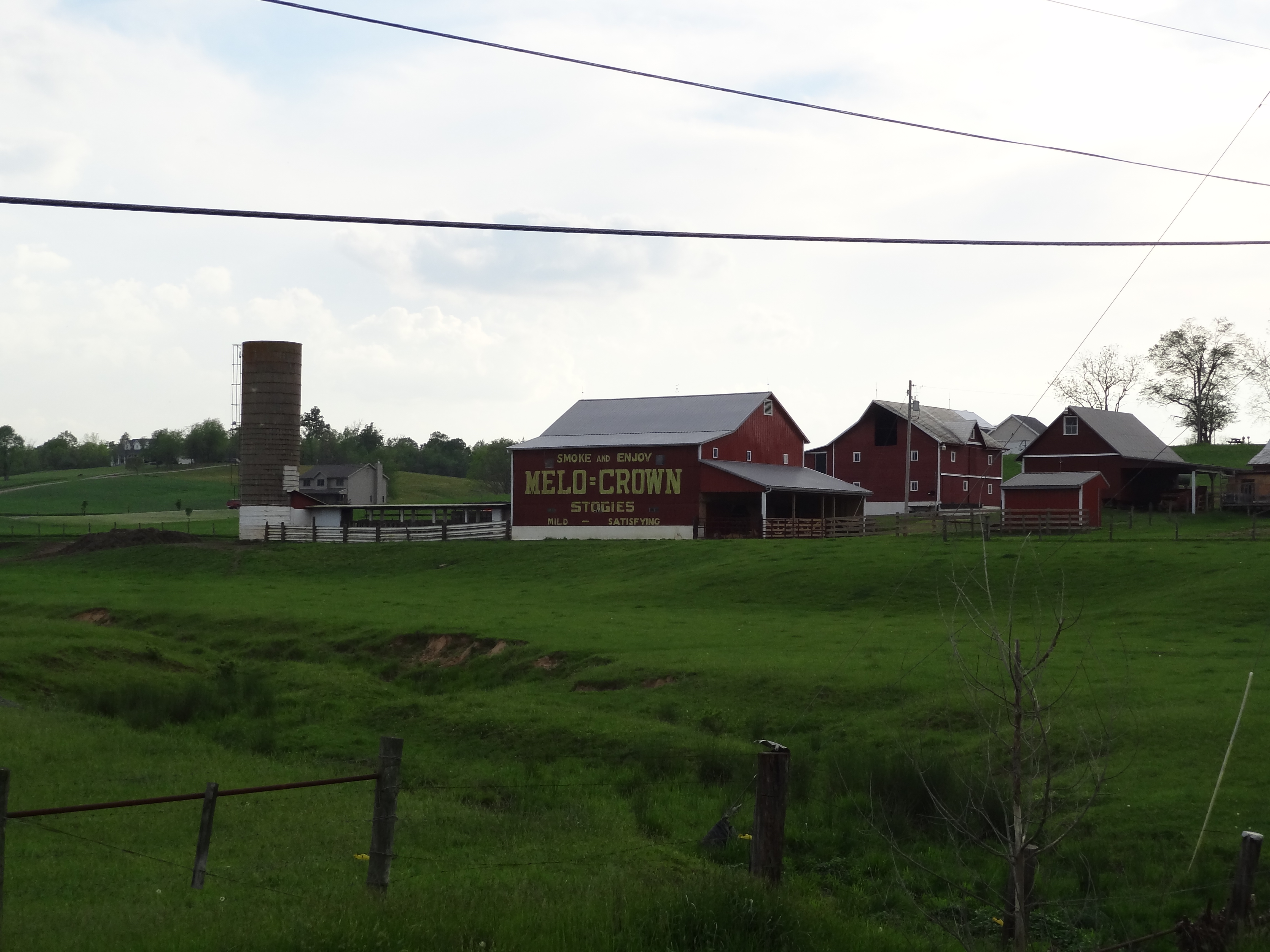
Cty-Rd-6-Farm
MCB 35-84-04, Washington County, Ohio

Brick Church Cemetery, Stockport, Morgan County, Ohio

Country Church

Keep on Truckin'

SE Ohio Autumn Fields Under Dramatic Sky
Topographic Map of Sweat Rd, Chesterhill, OH, USA
Find elevation by address:

Places near Sweat Rd, Chesterhill, OH, USA:
Bern Township
Wesley Township
568 T330
86 T330
Westland Rd, Stockport, OH, USA
6139 Mercer Ln
6139 Mercer Ln
Oak Hill Road
Fairfield Township
Creek Rd, Stockport, OH, USA
Windsor Township
Palmer Township
OH-, Cutler, OH, USA
Luke Chute
9510 Oh-676
2371 Righteous Ridge Rd
1st St, Vincent, OH, USA
Waterford Township
900 Beebe Rd
20 Windy Point Dr
Recent Searches:
- Elevation of Great Brook Sports, Gold Star Hwy, Groton, CT, USA
- Elevation of 10 Mountain Laurels Dr, Nashua, NH, USA
- Elevation of 16 Gilboa Ln, Nashua, NH, USA
- Elevation of Laurel Rd, Townsend, TN, USA
- Elevation of 3 Nestling Wood Dr, Long Valley, NJ, USA
- Elevation of Ilungu, Tanzania
- Elevation of Yellow Springs Road, Yellow Springs Rd, Chester Springs, PA, USA
- Elevation of Rēzekne Municipality, Latvia
- Elevation of Plikpūrmaļi, Vērēmi Parish, Rēzekne Municipality, LV-, Latvia
- Elevation of 2 Henschke Ct, Caboolture QLD, Australia