Elevation of OH-, Cutler, OH, USA
Location: United States > Ohio > Washington County > Fairfield Township > Cutler >
Longitude: -81.724755
Latitude: 39.403626
Elevation: 288m / 945feet
Barometric Pressure: 98KPa
Elevation Map:
Satellite Map:
Related Photos:
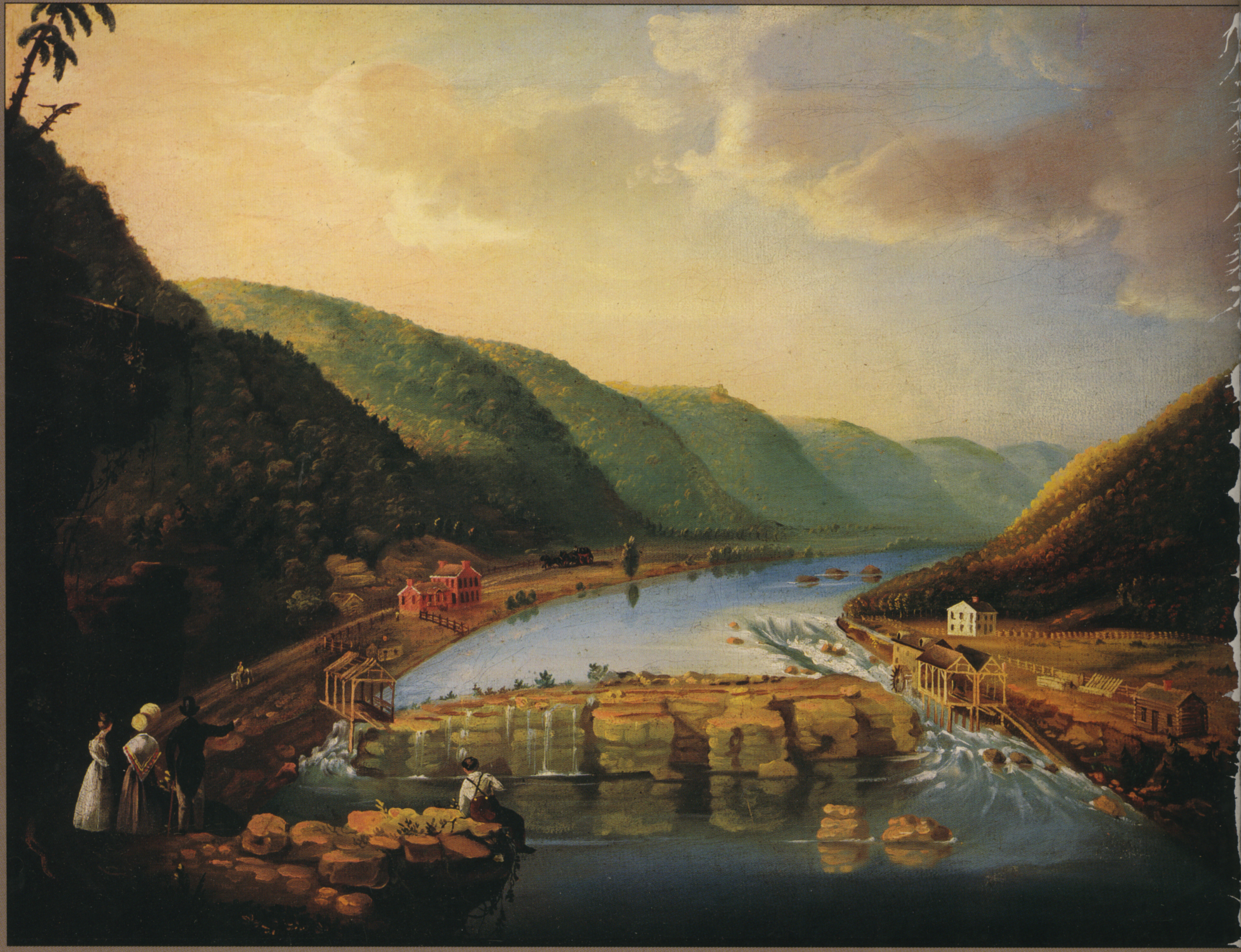
View of Mill at Wolf Creek near Muskingum River
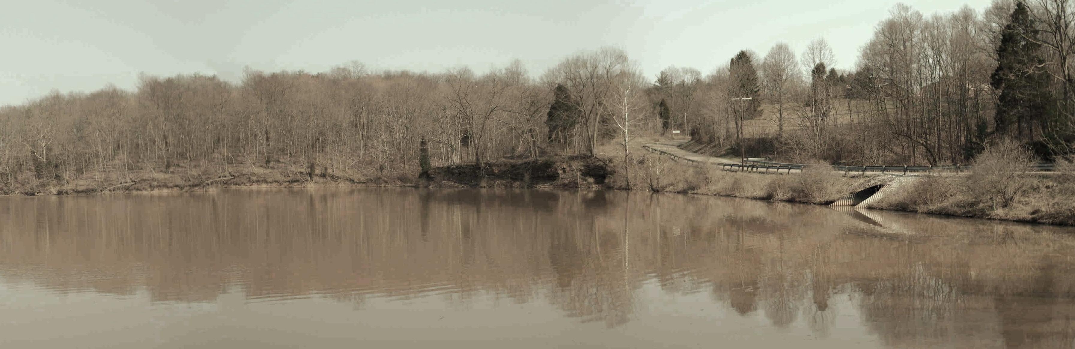
Veto Lake (aged)
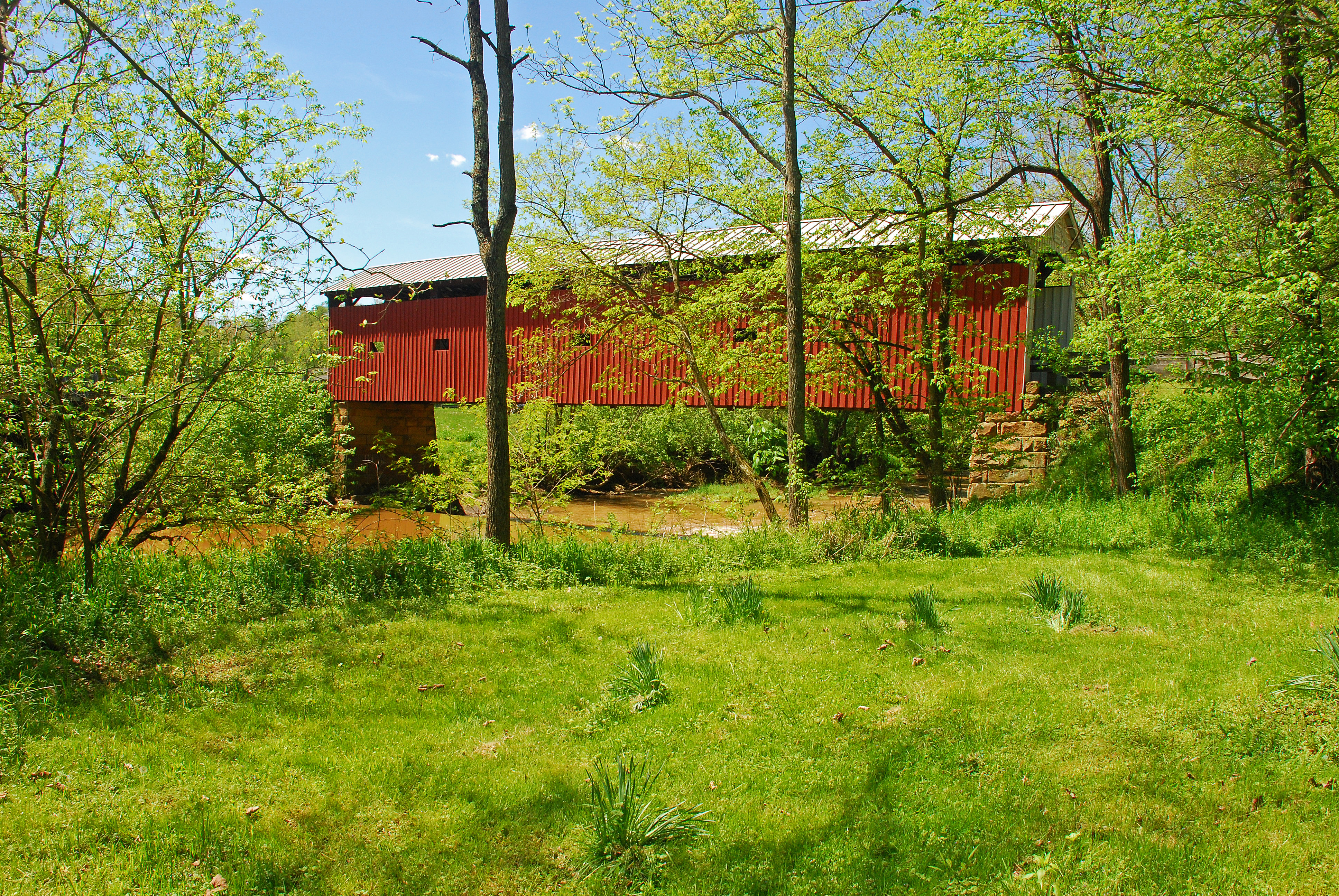
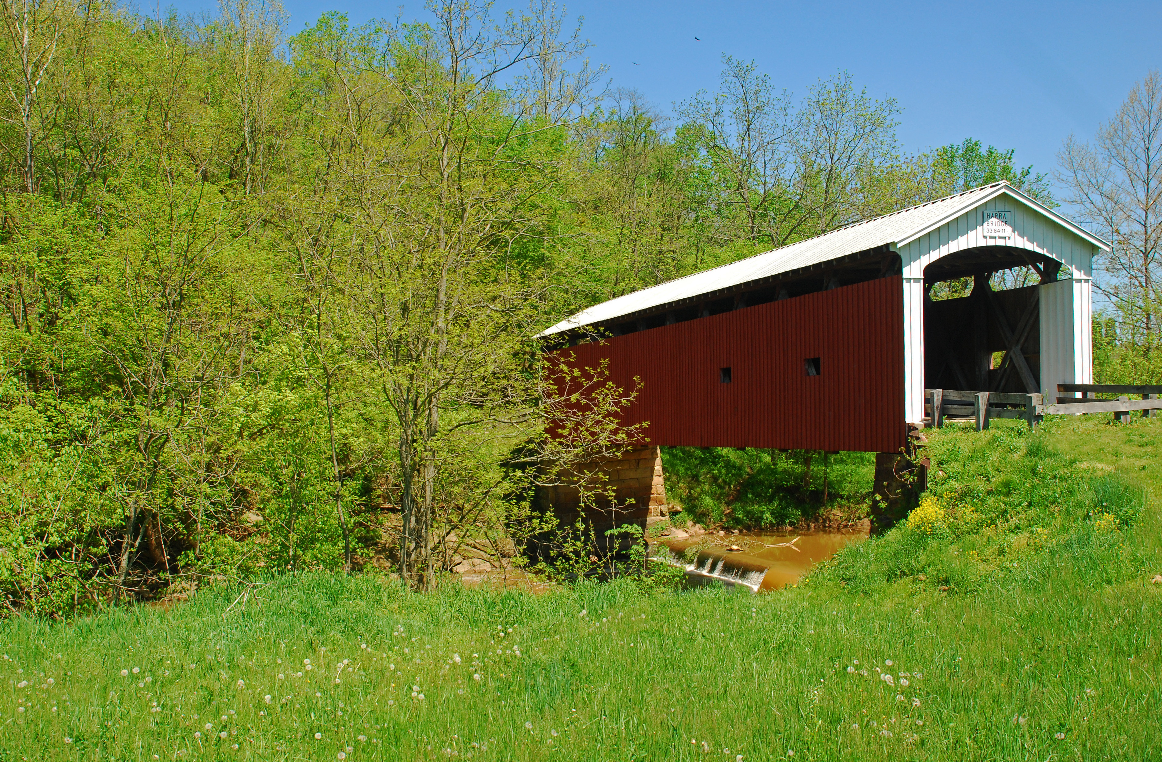
Harra Covered Bridge Spring View
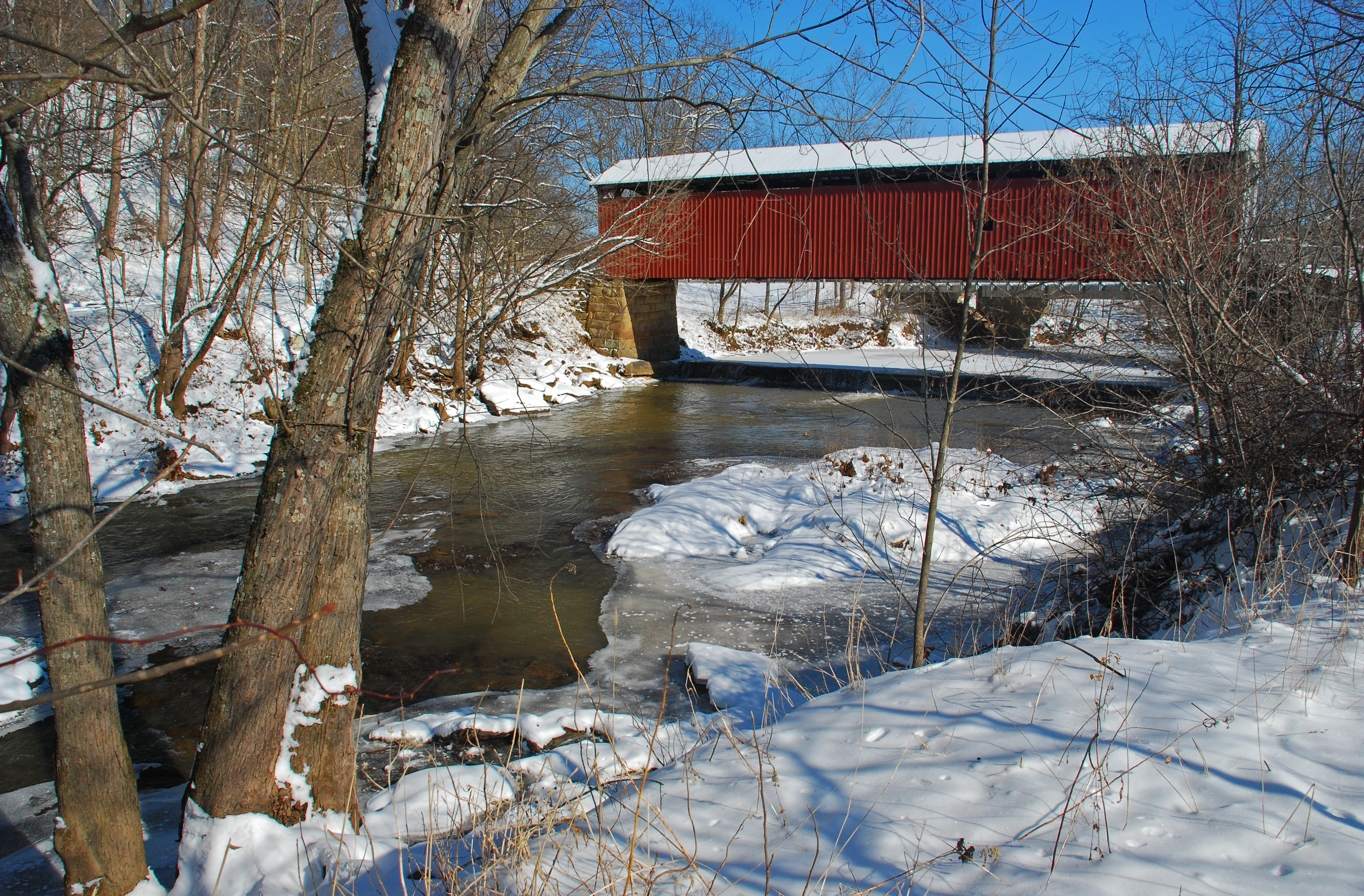
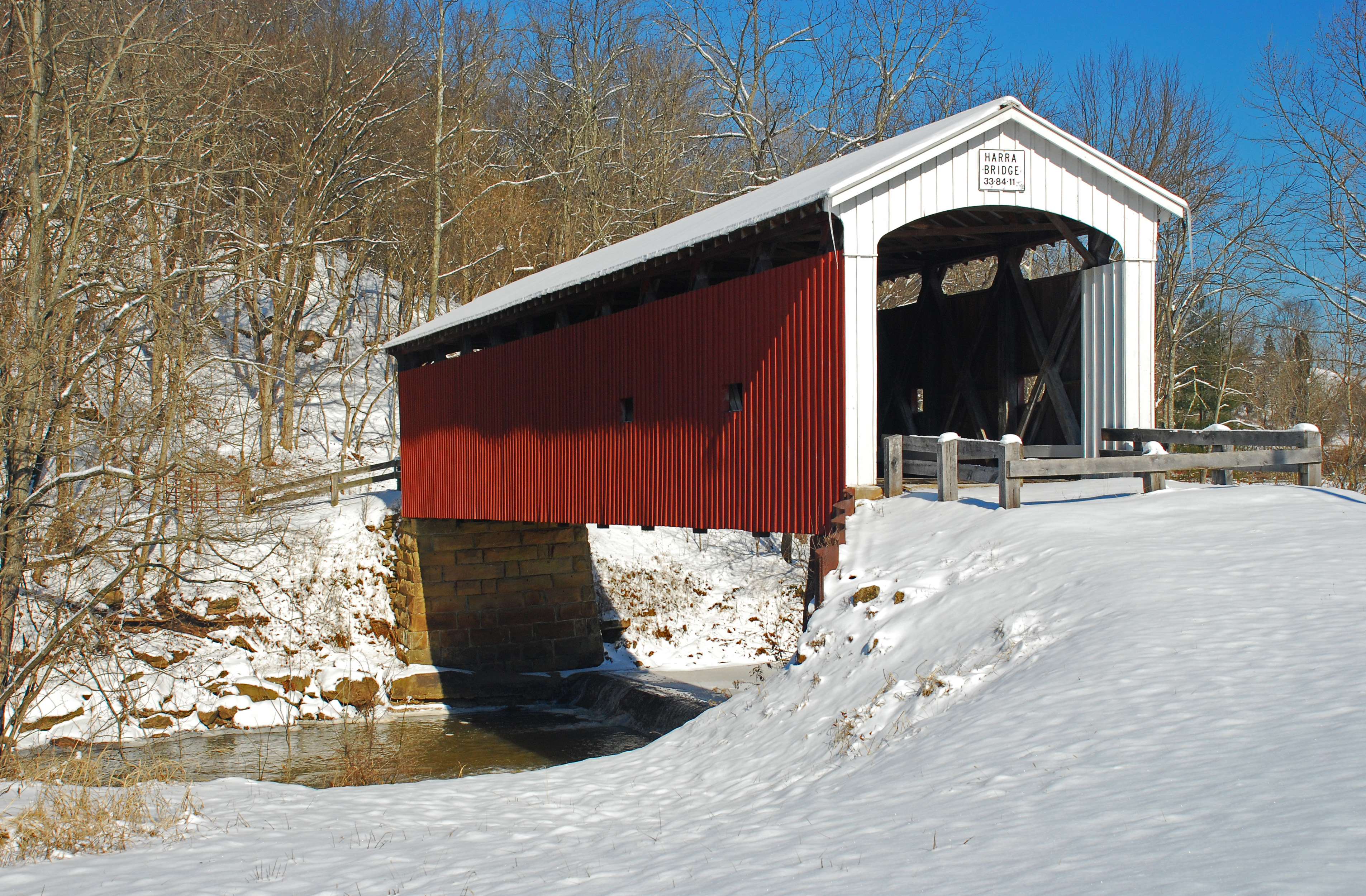
Harra Covered Bridge Winter View
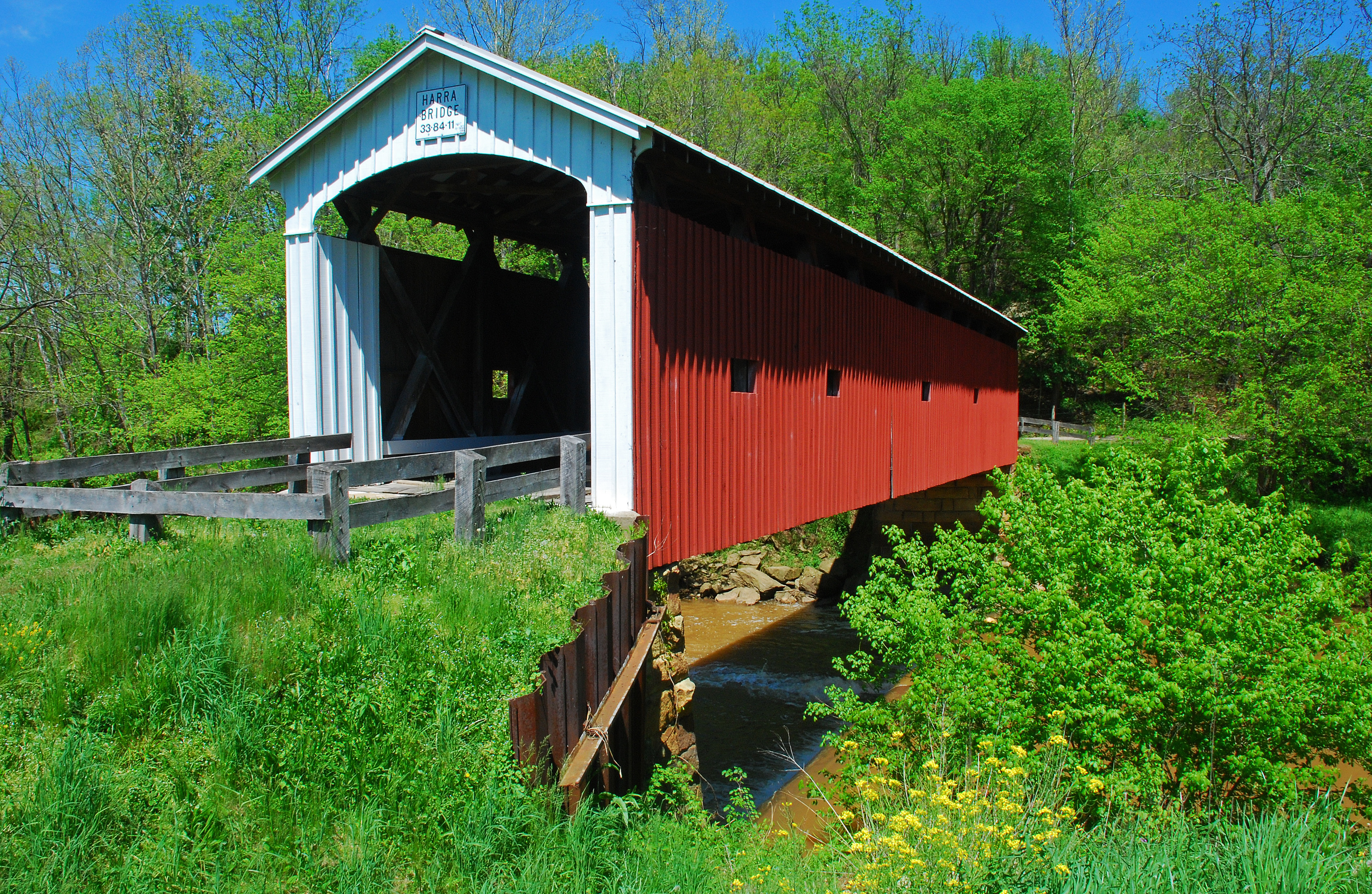
Harra Covered Bridge Spring View
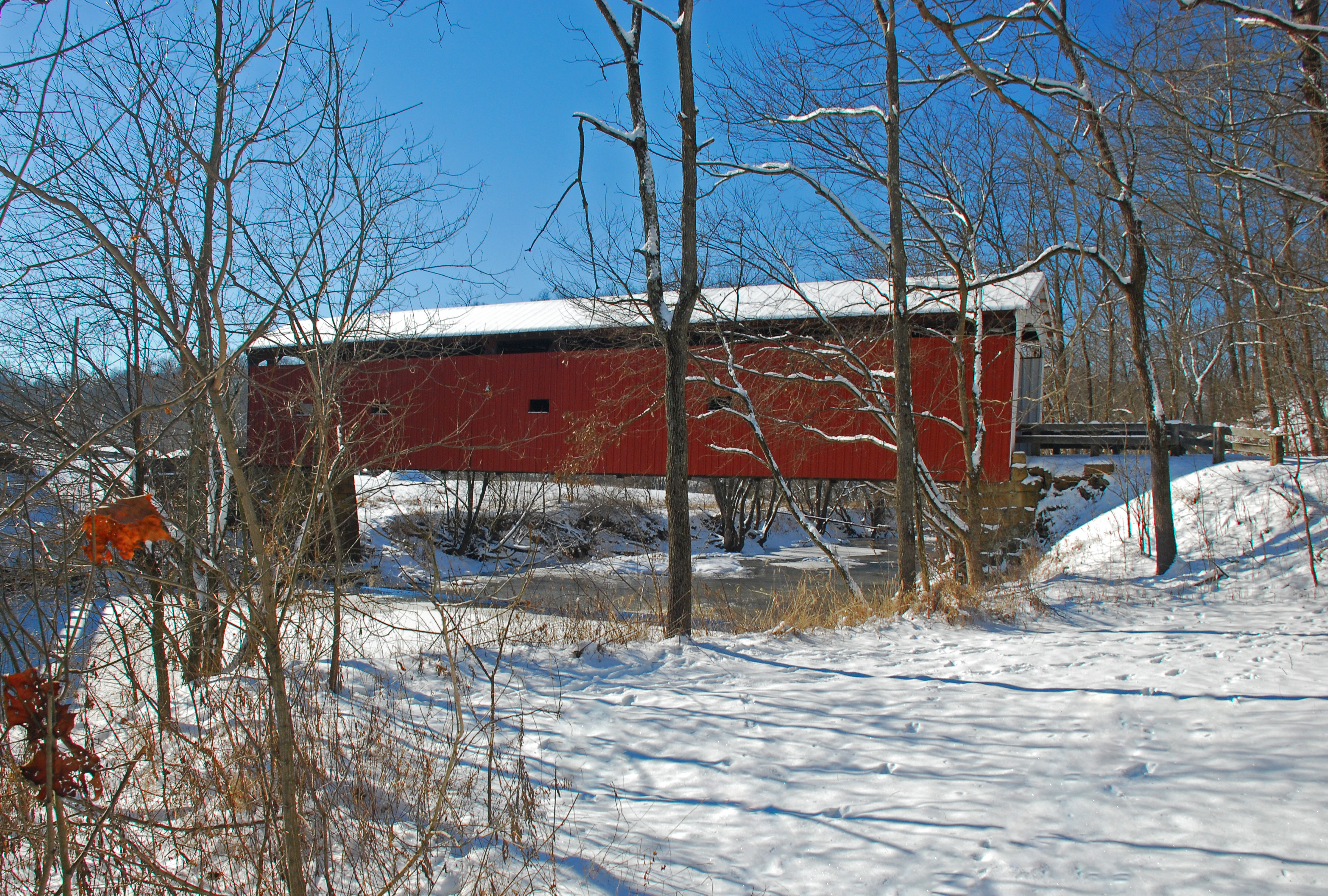
Harra Covered Bridge Winter View
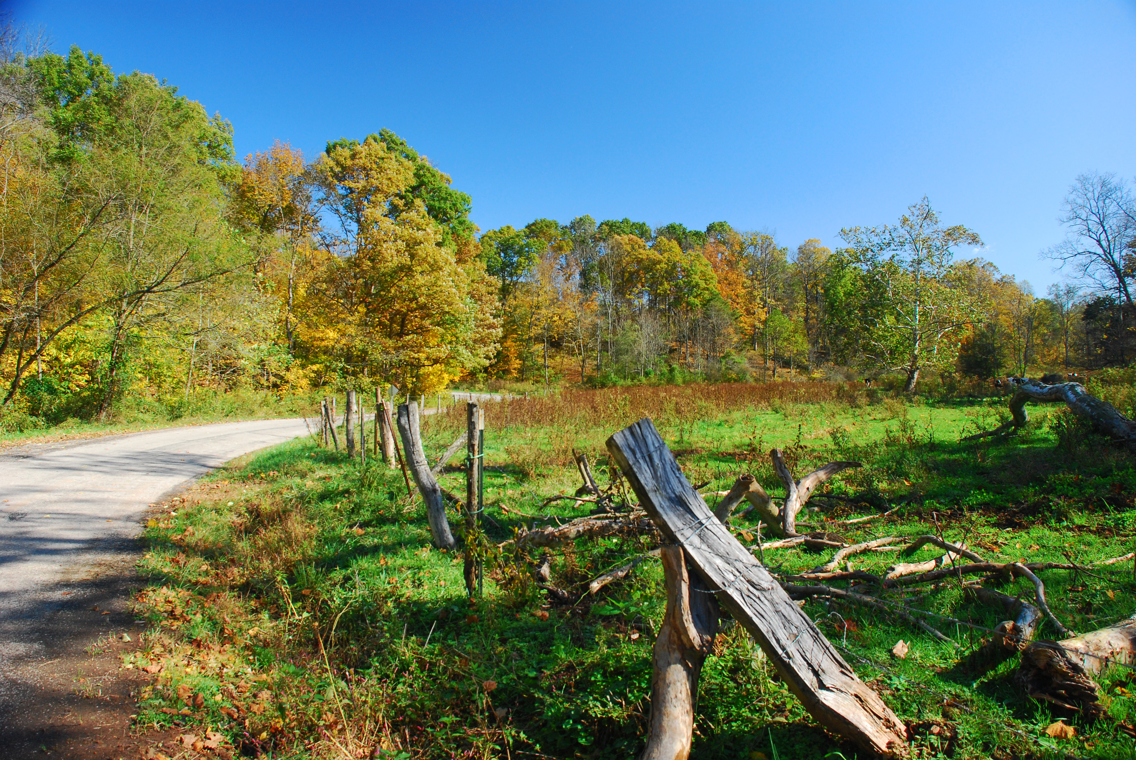
Christy Road Spring Landscape
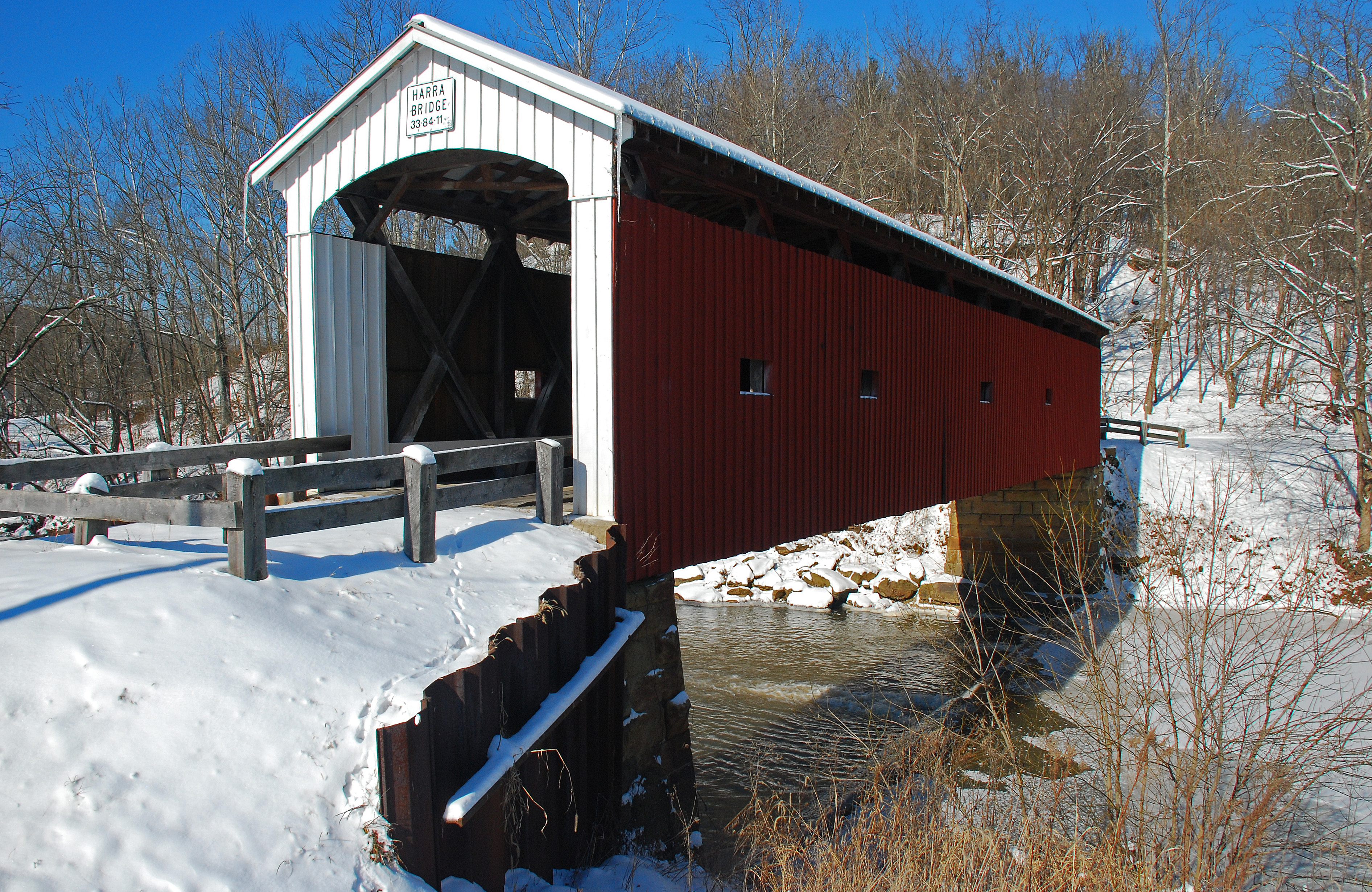
Harra Covered Bridge Winter View

Harra Covered Bridge Spring View
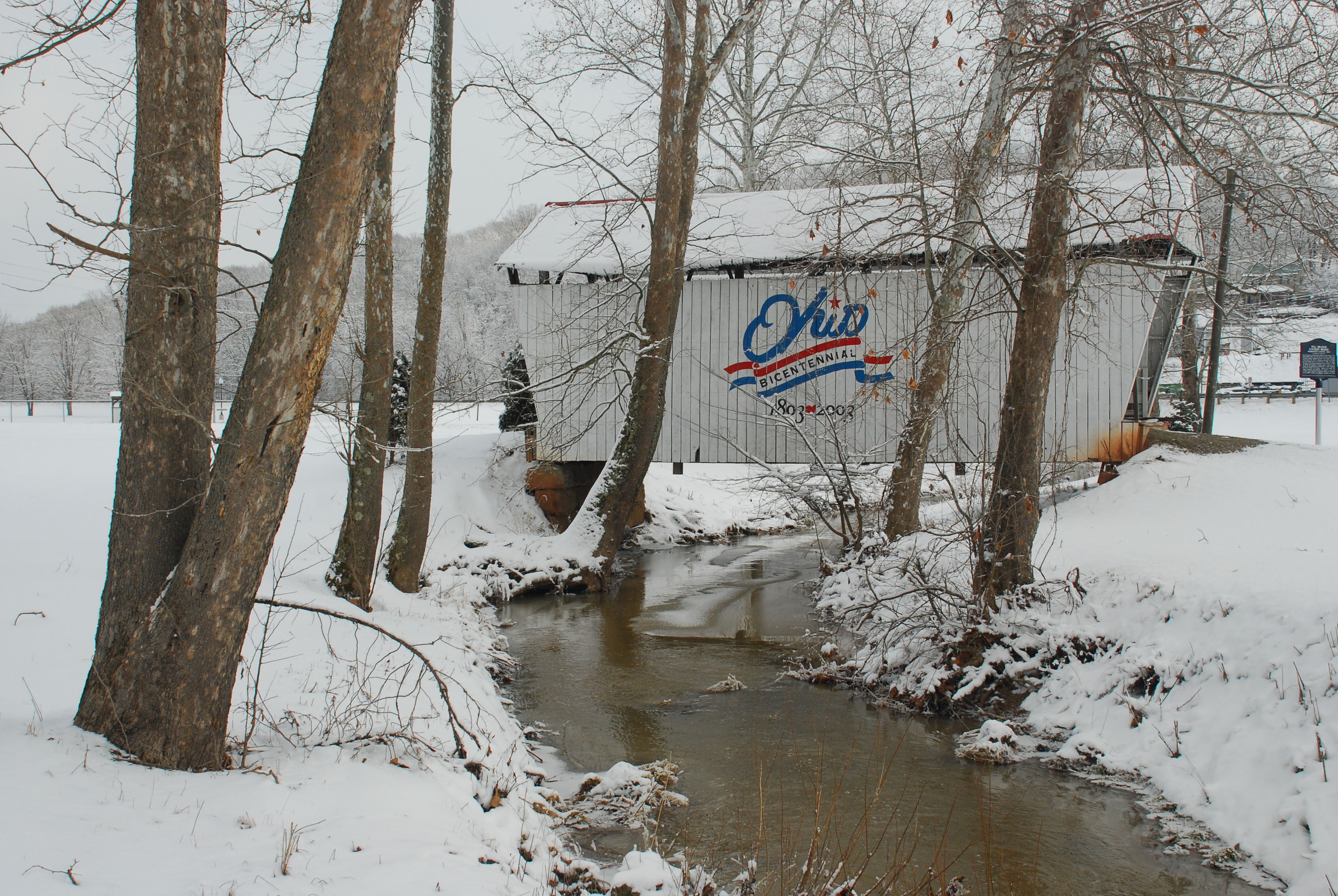
Mill Branch Covered Bridge
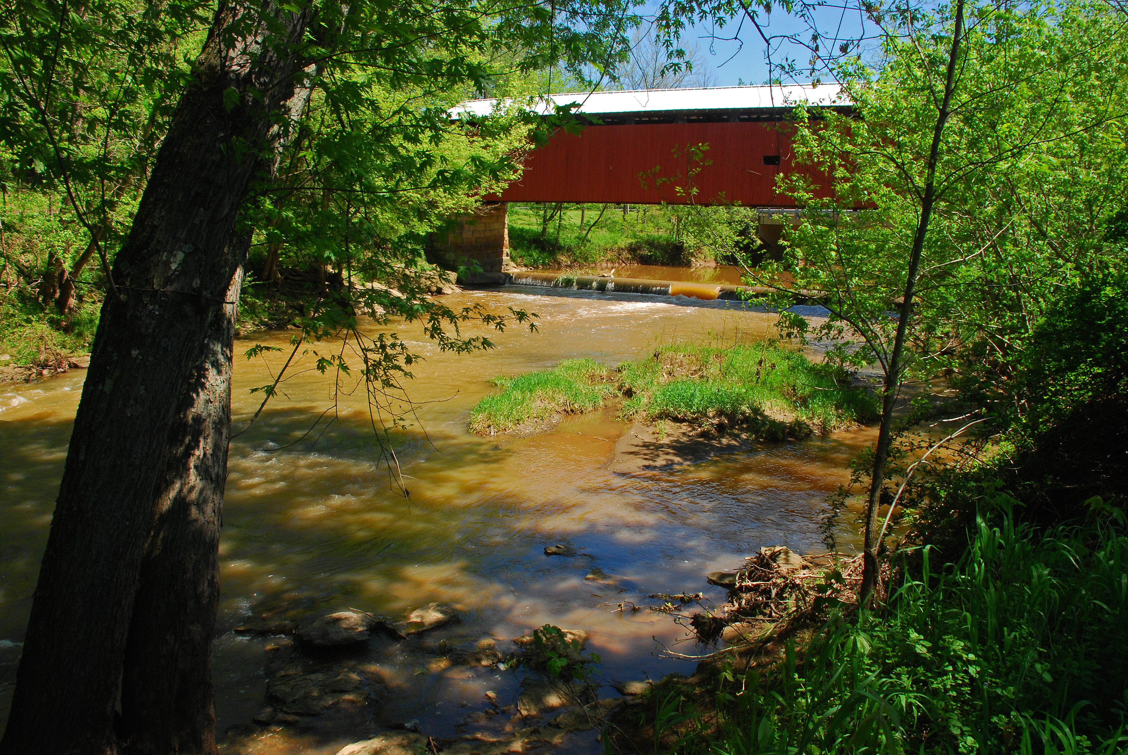
Harra Covered Bridge Spring View
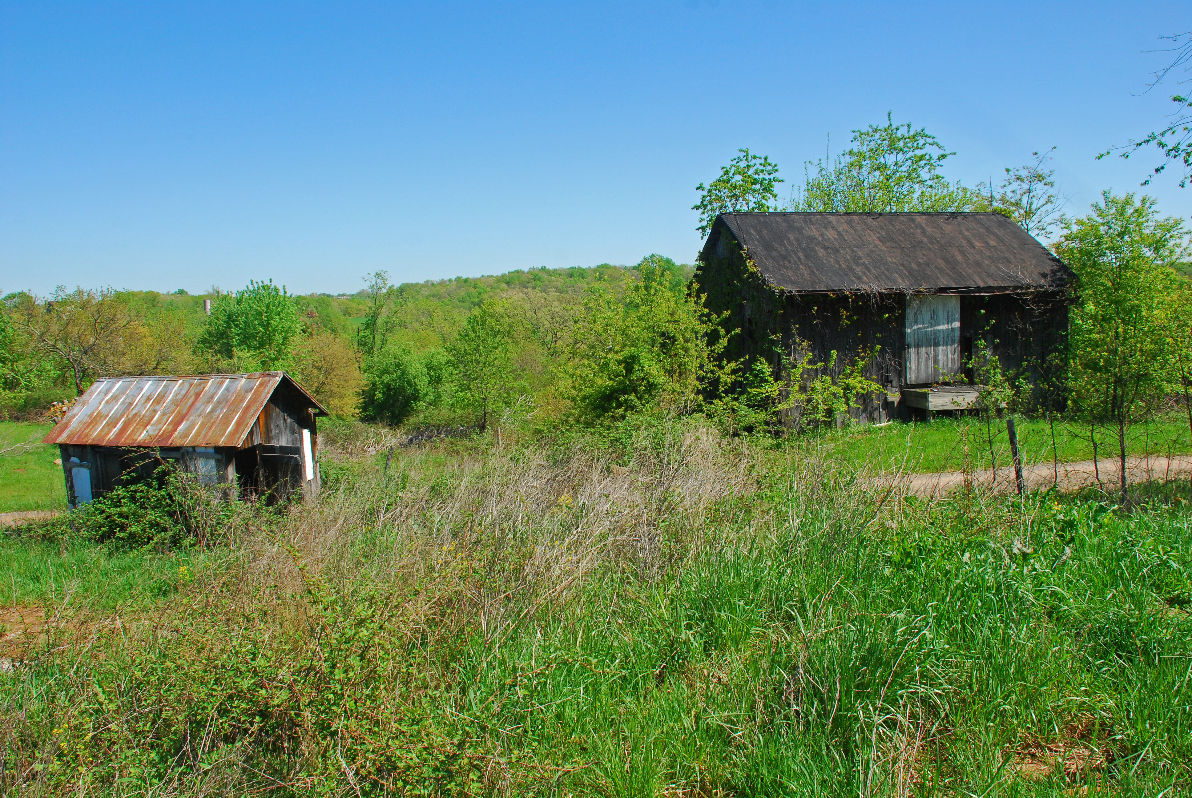
Christy Road Spring Landscape

Flowers by Mill Branch Bridge
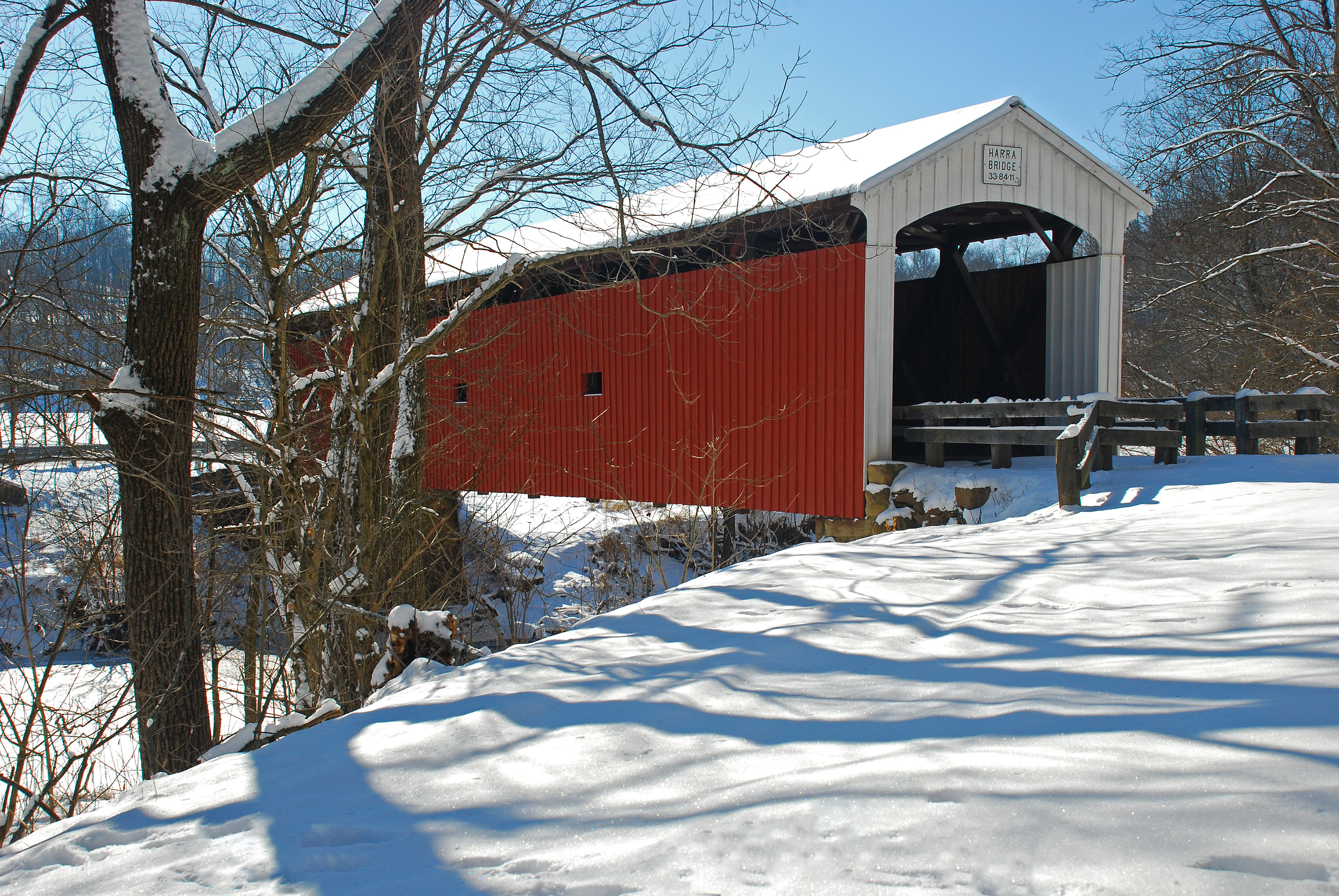
Harra Covered Bridge Winter View
Harra Covered Bridge Spring View
Harra Covered Bridge Winter View
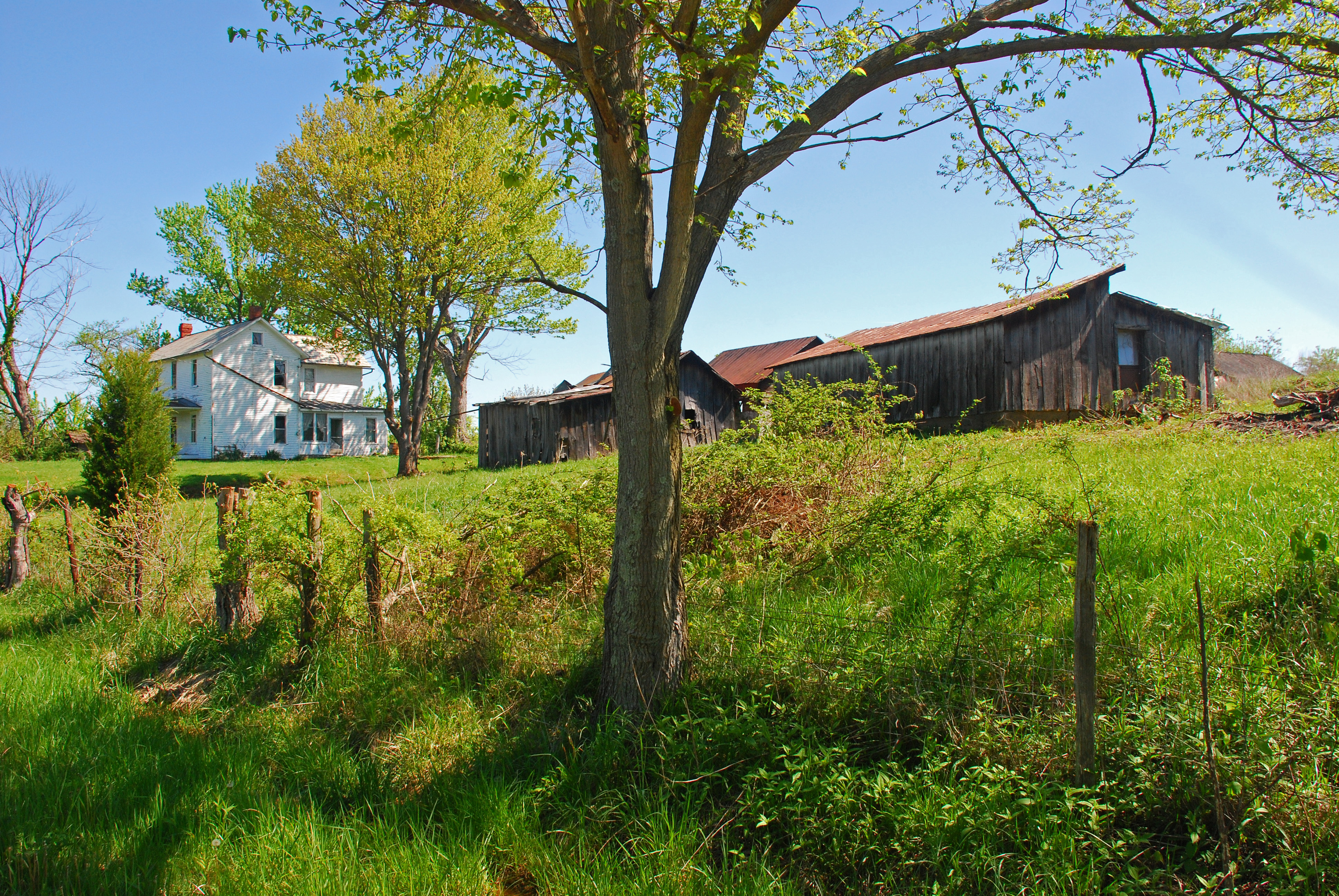
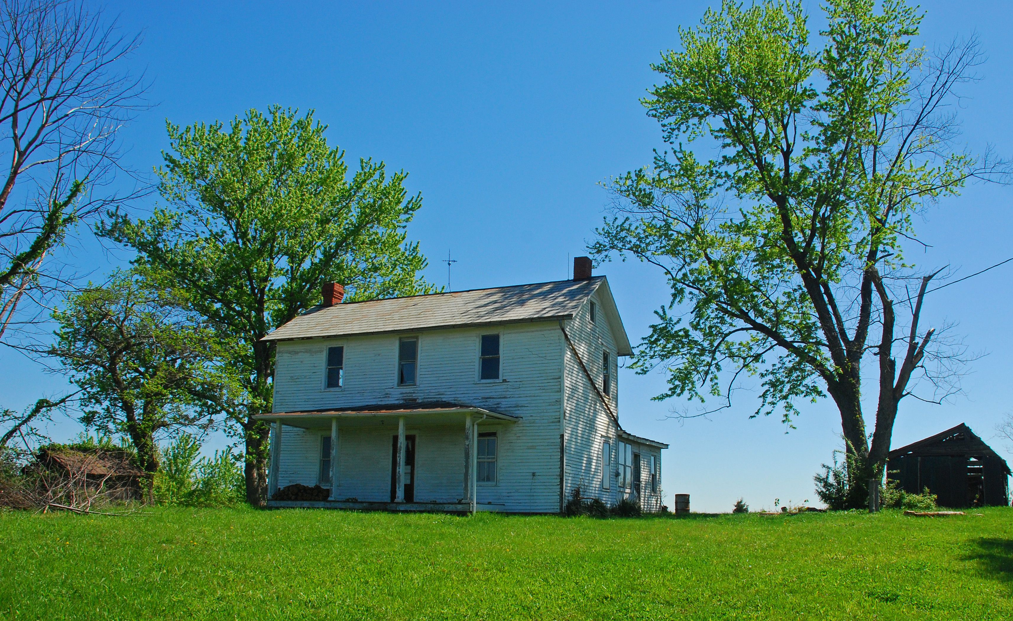
Rolling Countryside
Spence Road Cemetery Belpre, OH
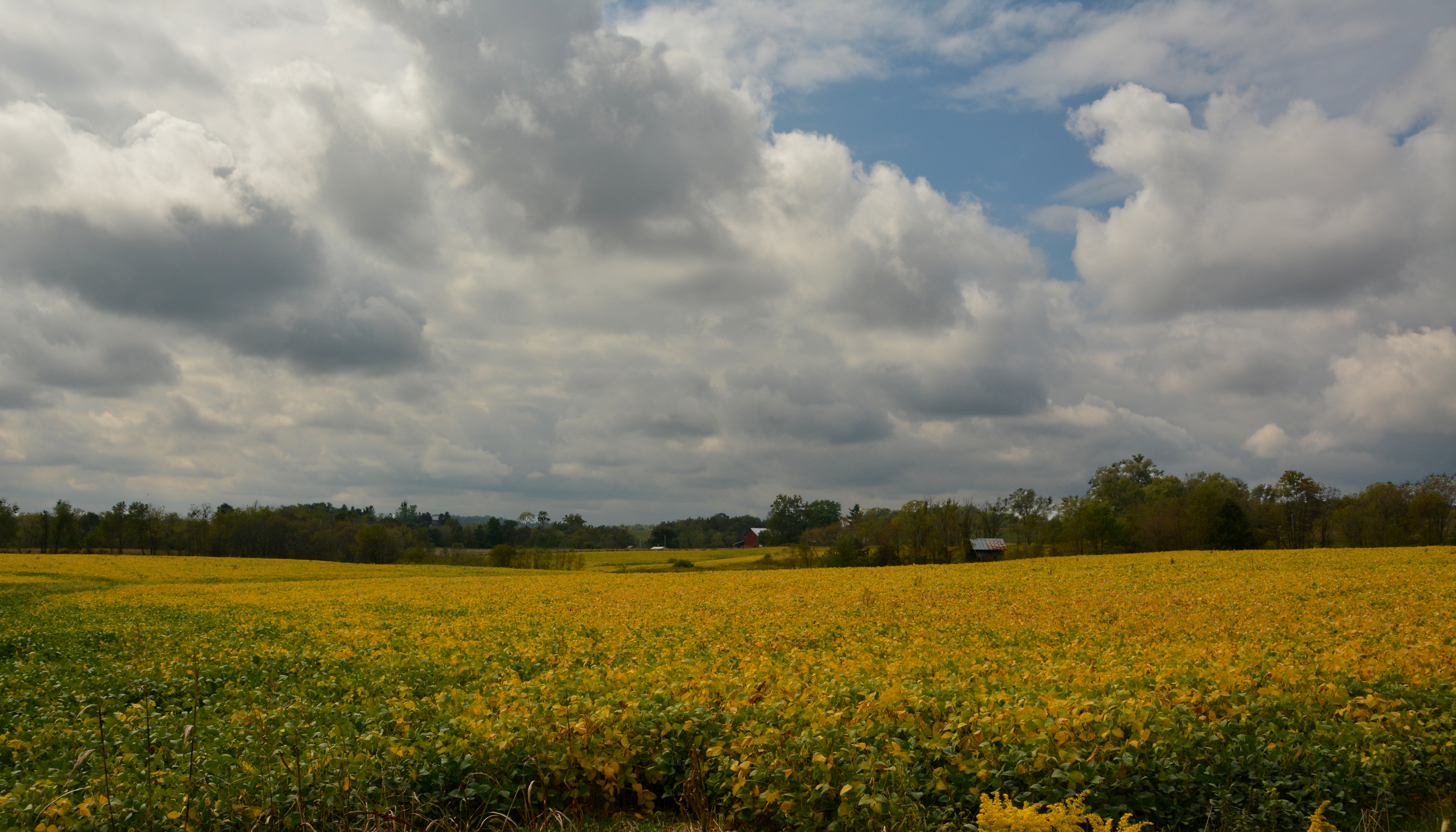
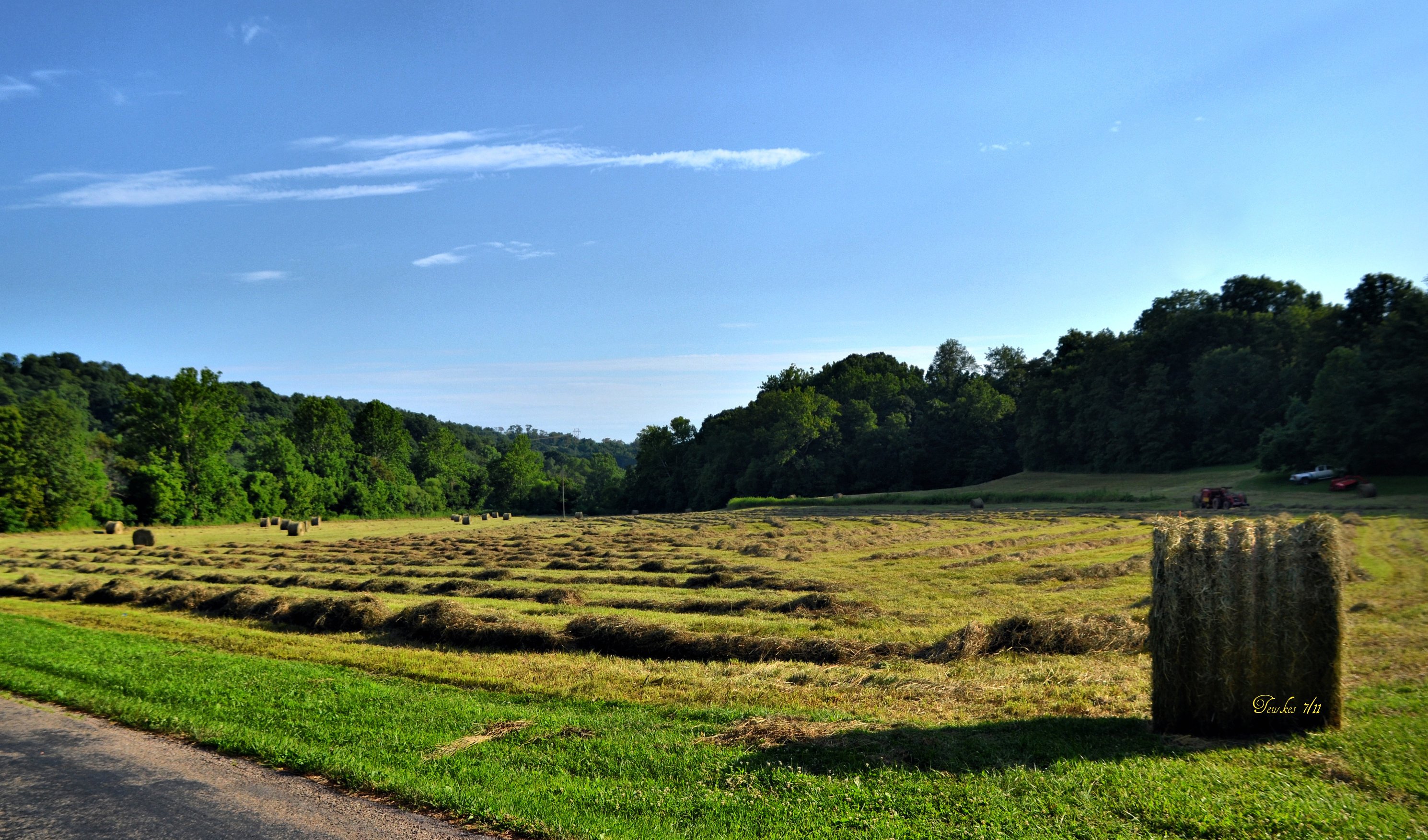
Fields of Gold
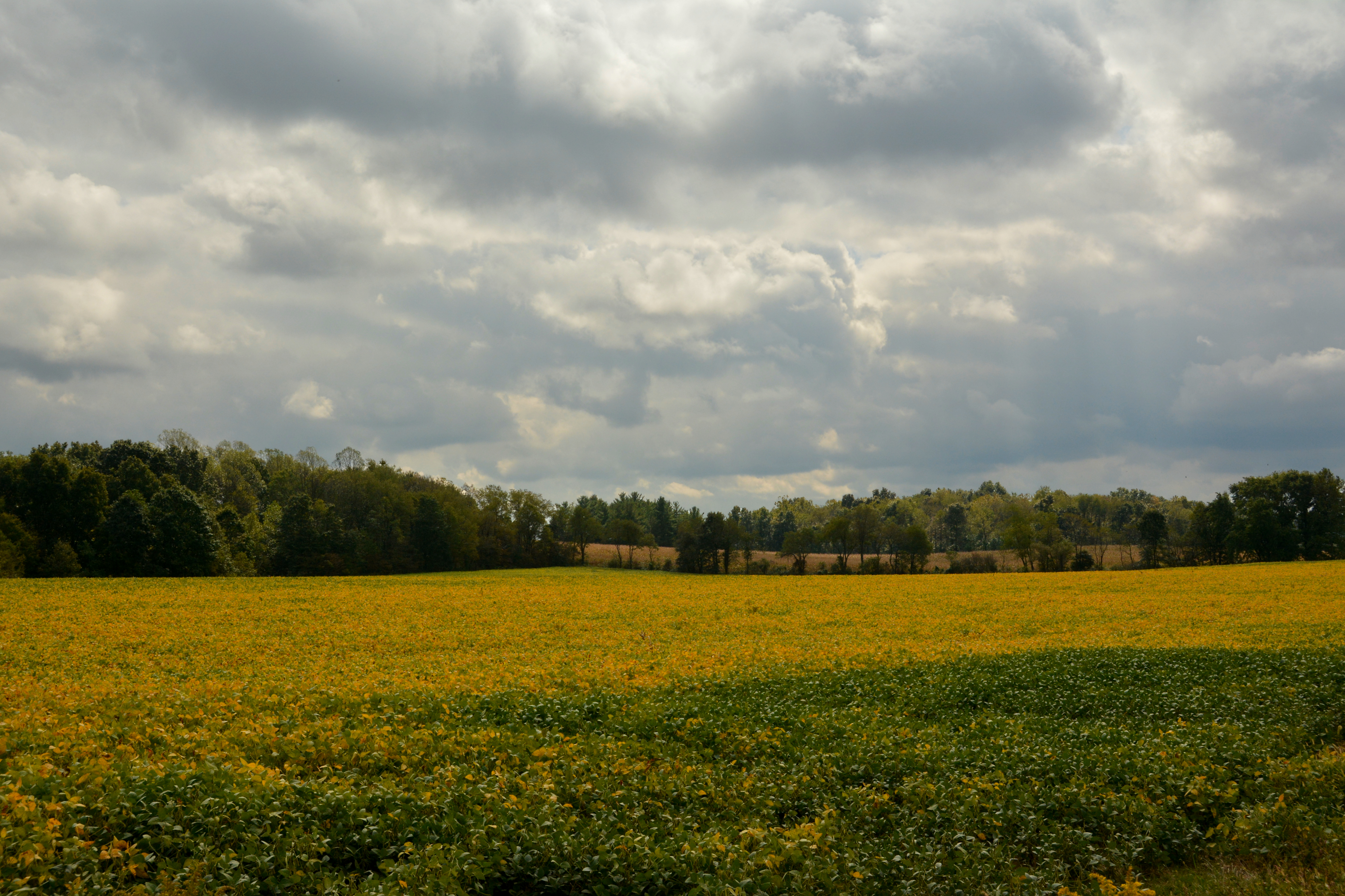
Fields of Gold
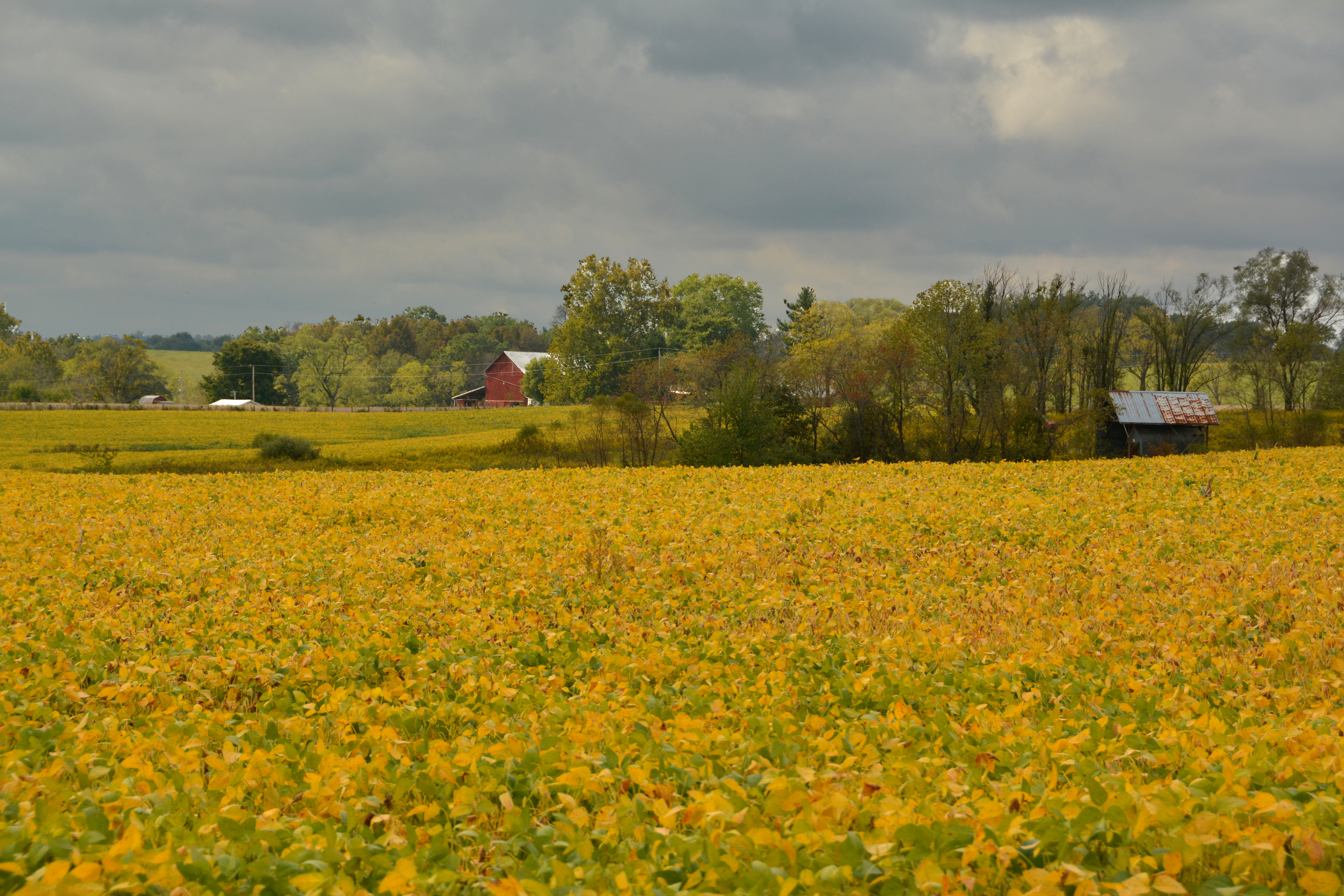
Fields of Gold

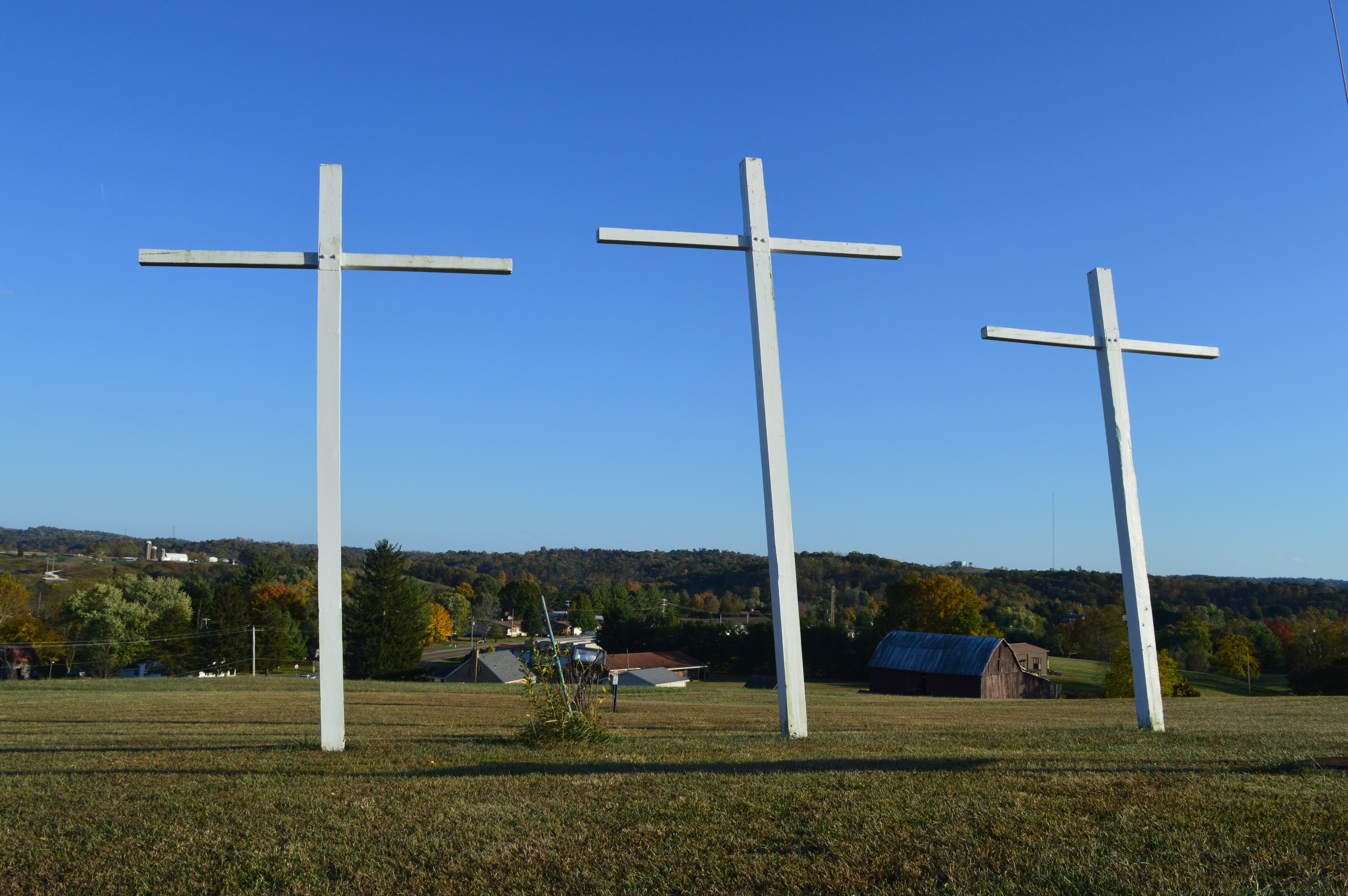
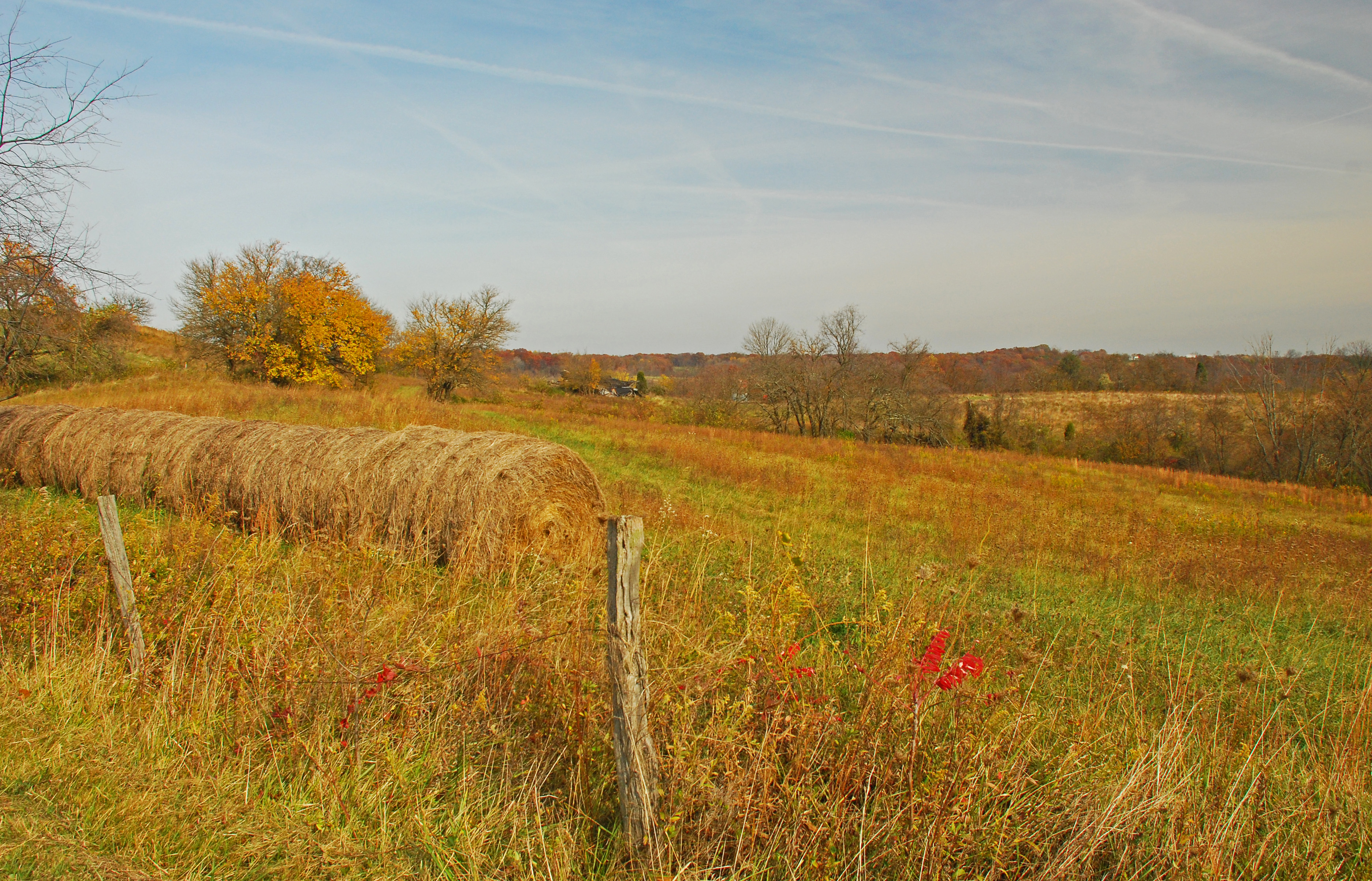
Autumn Landscape

Christy Road Fall Landscape
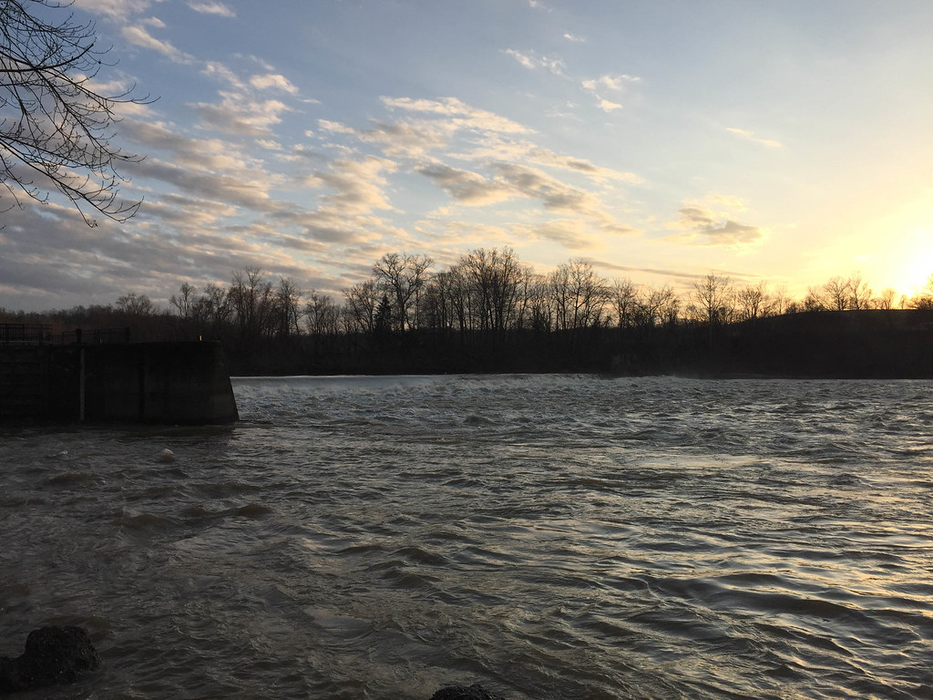
Luke Chute Lock & Dam #5

Autumn Landscape
A time to reap

Early May Spring Landscape
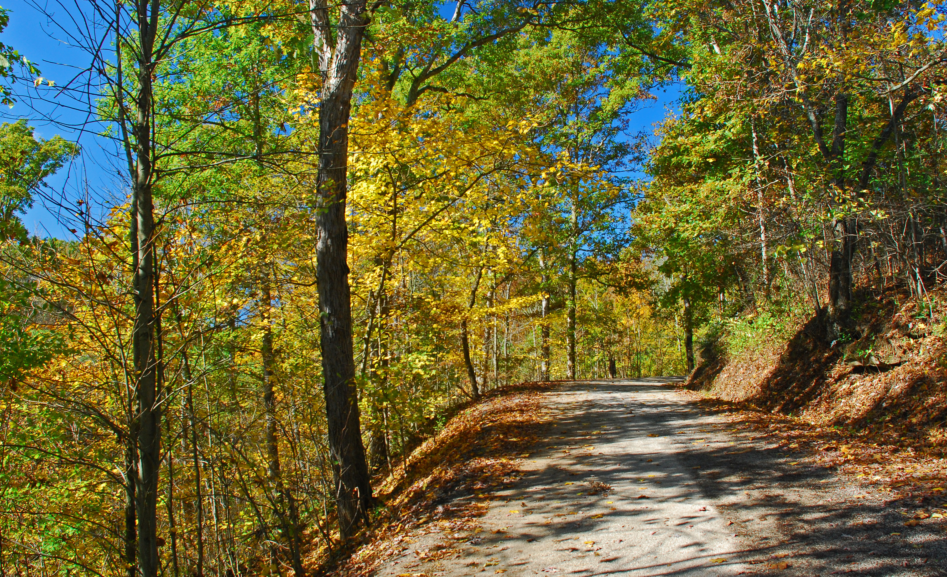
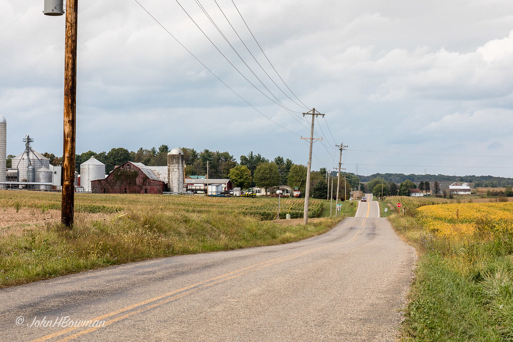
Christy Road Oct Landscape

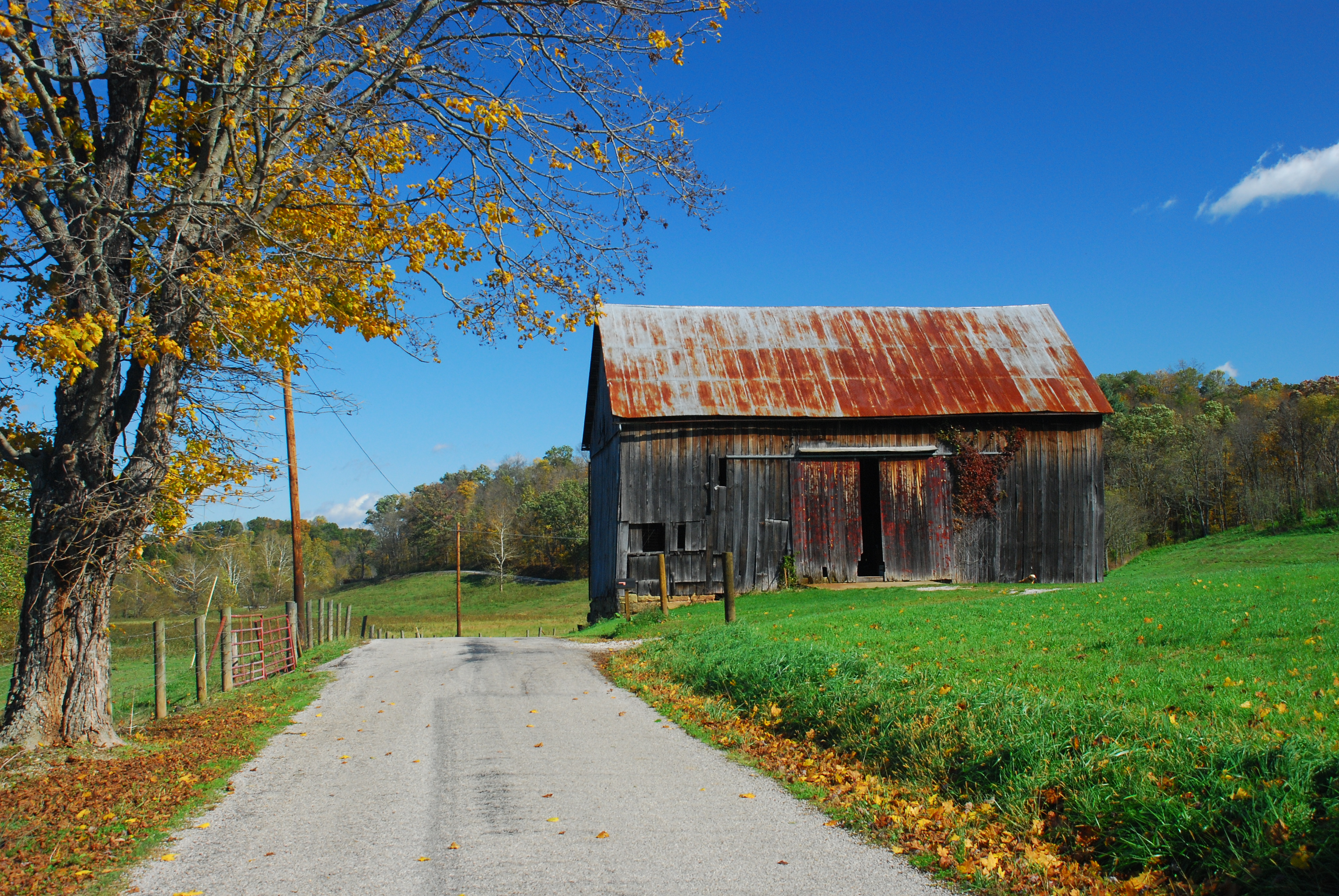
Potmeyer Road Fall Landscape

Early May Landscape
Grindstone Road Fall Landscape

Pine forest at Boord State Nature Preserve
Olinn Road Fall Landscape

Rauch Road Fall Landscape

Christy Road Autumn Landscape

Potmeyer Road Fall Landscape
Christy Road Spring Landscape
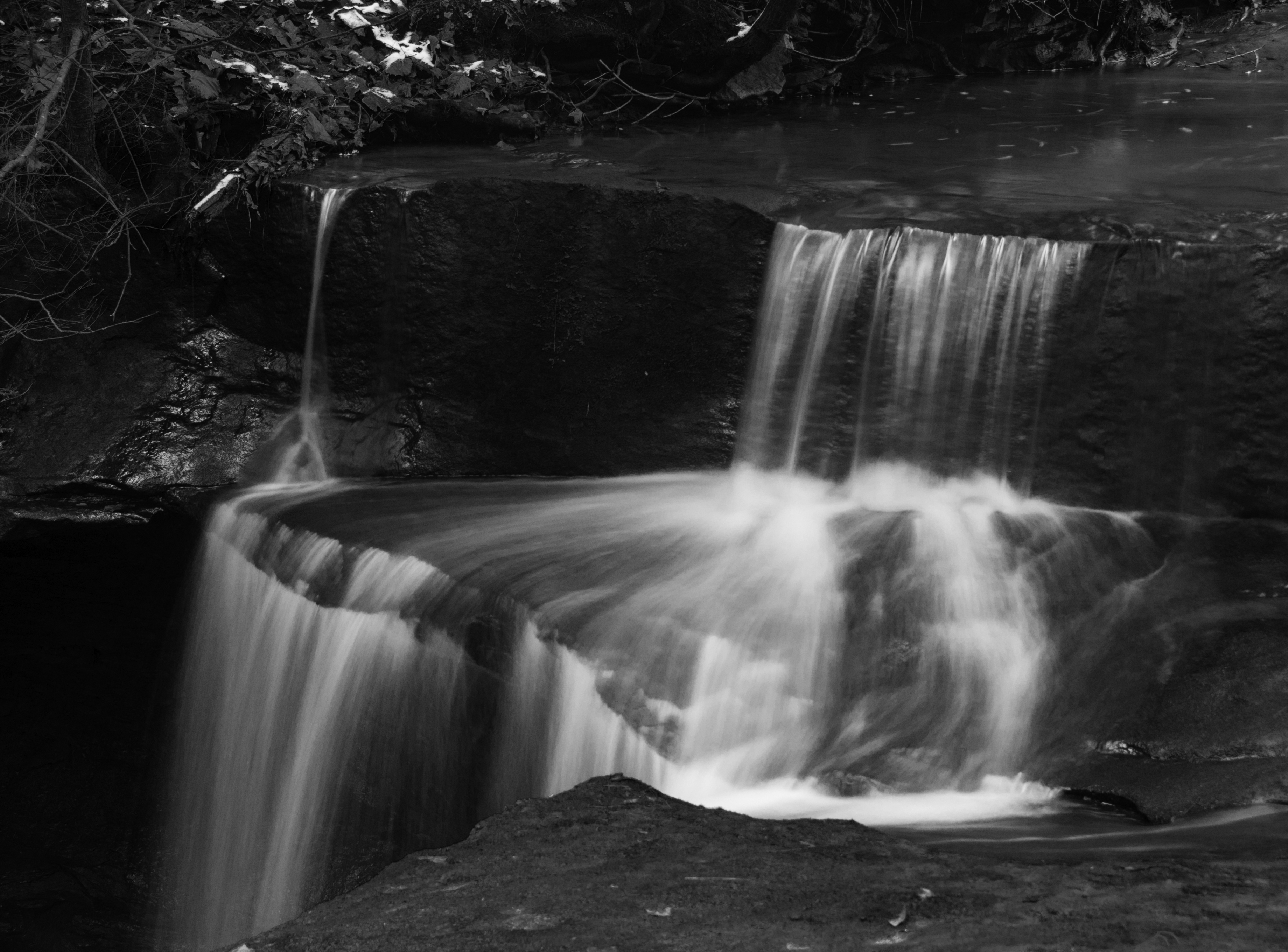
Waterfalls at Boord State Nature Preserve
Christy Road Autumn Landscape
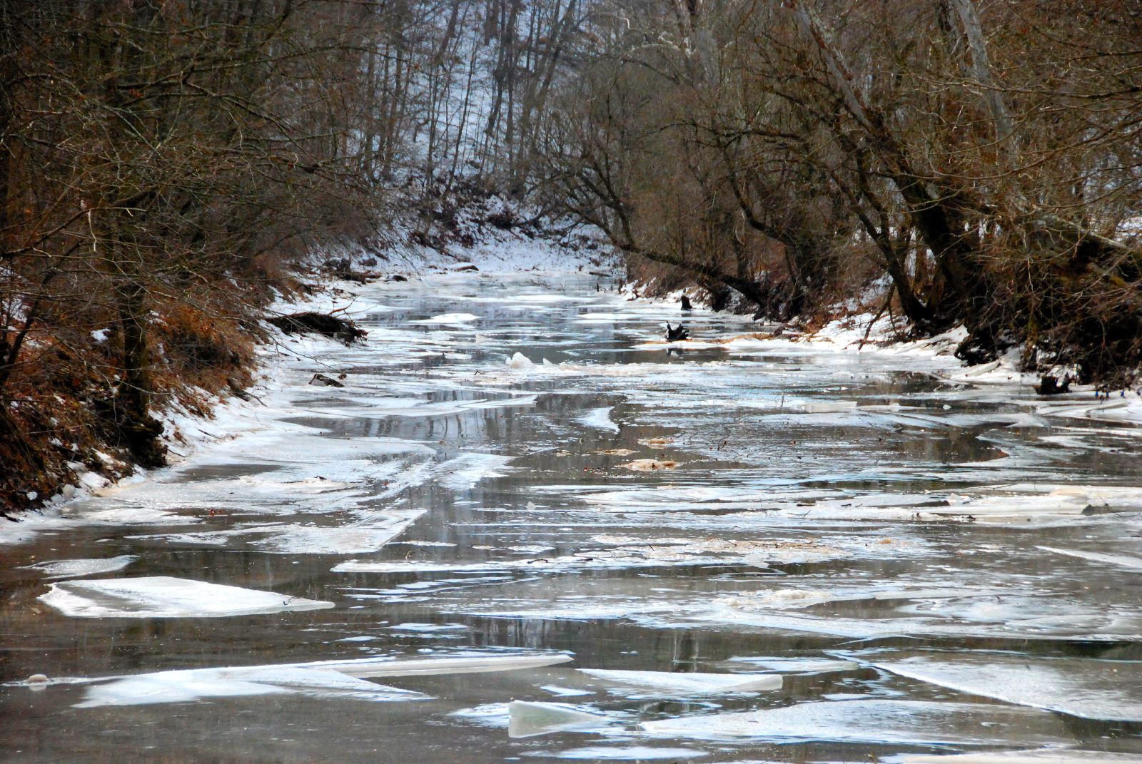
Ice Breaking Up

Potmeyer Road Fall Landscape

Autumn Landscape
Topographic Map of OH-, Cutler, OH, USA
Find elevation by address:

Places near OH-, Cutler, OH, USA:
Fairfield Township
Palmer Township
Oak Hill Road
1st St, Vincent, OH, USA
9510 Oh-676
Creek Rd, Stockport, OH, USA
86 T330
568 T330
Wesley Township
Barlow Township
20 Watertown Rd, Waterford, OH, USA
Fleming
6139 Mercer Ln
6139 Mercer Ln
1856 Pineridge Rd
Luke Chute
Watertown Township
2371 Righteous Ridge Rd
871 Mcneal Rd
Windsor Township
Recent Searches:
- Elevation of Elwyn Dr, Roanoke Rapids, NC, USA
- Elevation of Congressional Dr, Stevensville, MD, USA
- Elevation of Bellview Rd, McLean, VA, USA
- Elevation of Stage Island Rd, Chatham, MA, USA
- Elevation of Shibuya Scramble Crossing, 21 Udagawacho, Shibuya City, Tokyo -, Japan
- Elevation of Jadagoniai, Kaunas District Municipality, Lithuania
- Elevation of Pagonija rock, Kranto 7-oji g. 8"N, Kaunas, Lithuania
- Elevation of Co Rd 87, Jamestown, CO, USA
- Elevation of Tenjo, Cundinamarca, Colombia
- Elevation of Côte-des-Neiges, Montreal, QC H4A 3J6, Canada