Elevation of Waterford Township, OH, USA
Location: United States > Ohio > Washington County >
Longitude: -81.669253
Latitude: 39.5386508
Elevation: 198m / 650feet
Barometric Pressure: 99KPa
Elevation Map:
Satellite Map:
Related Photos:
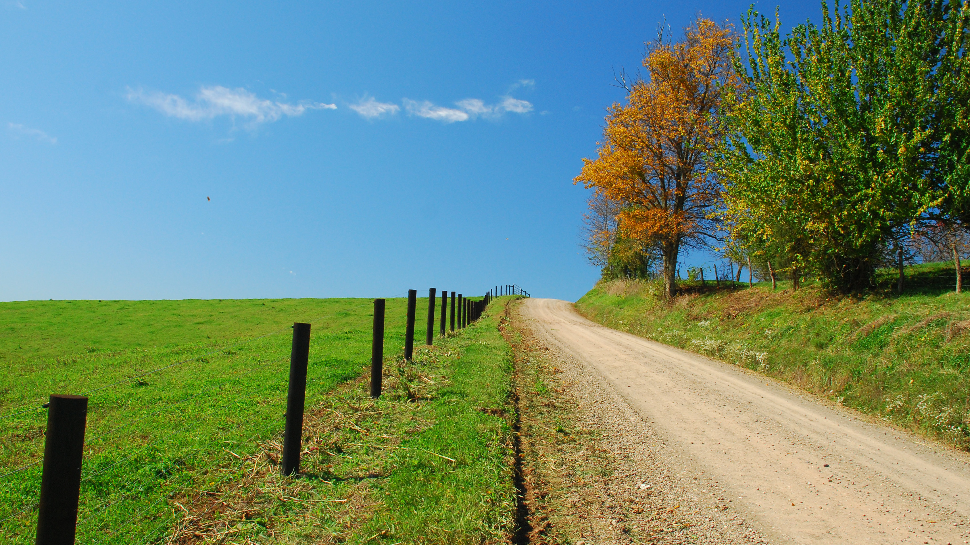
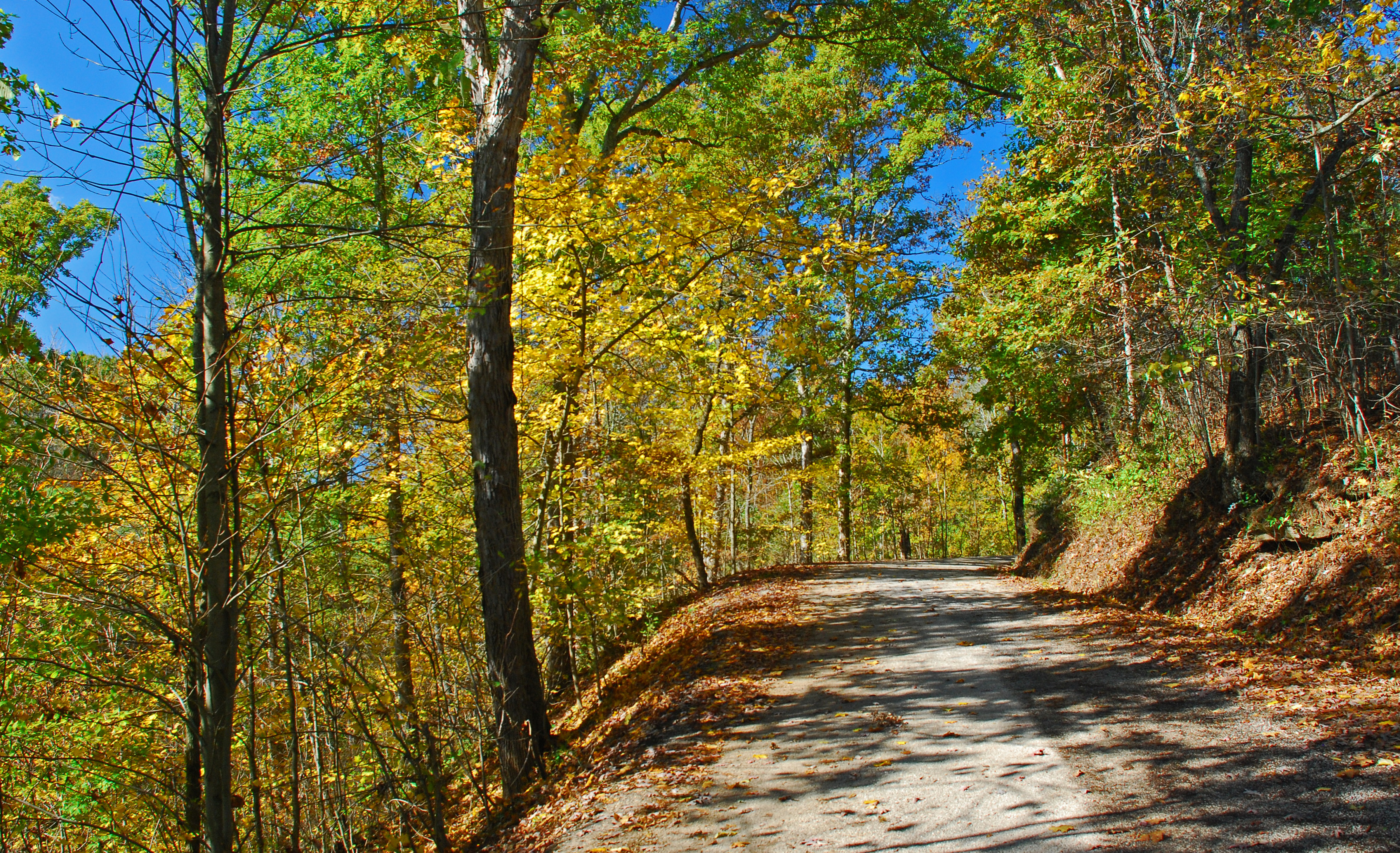
Road to the Sky
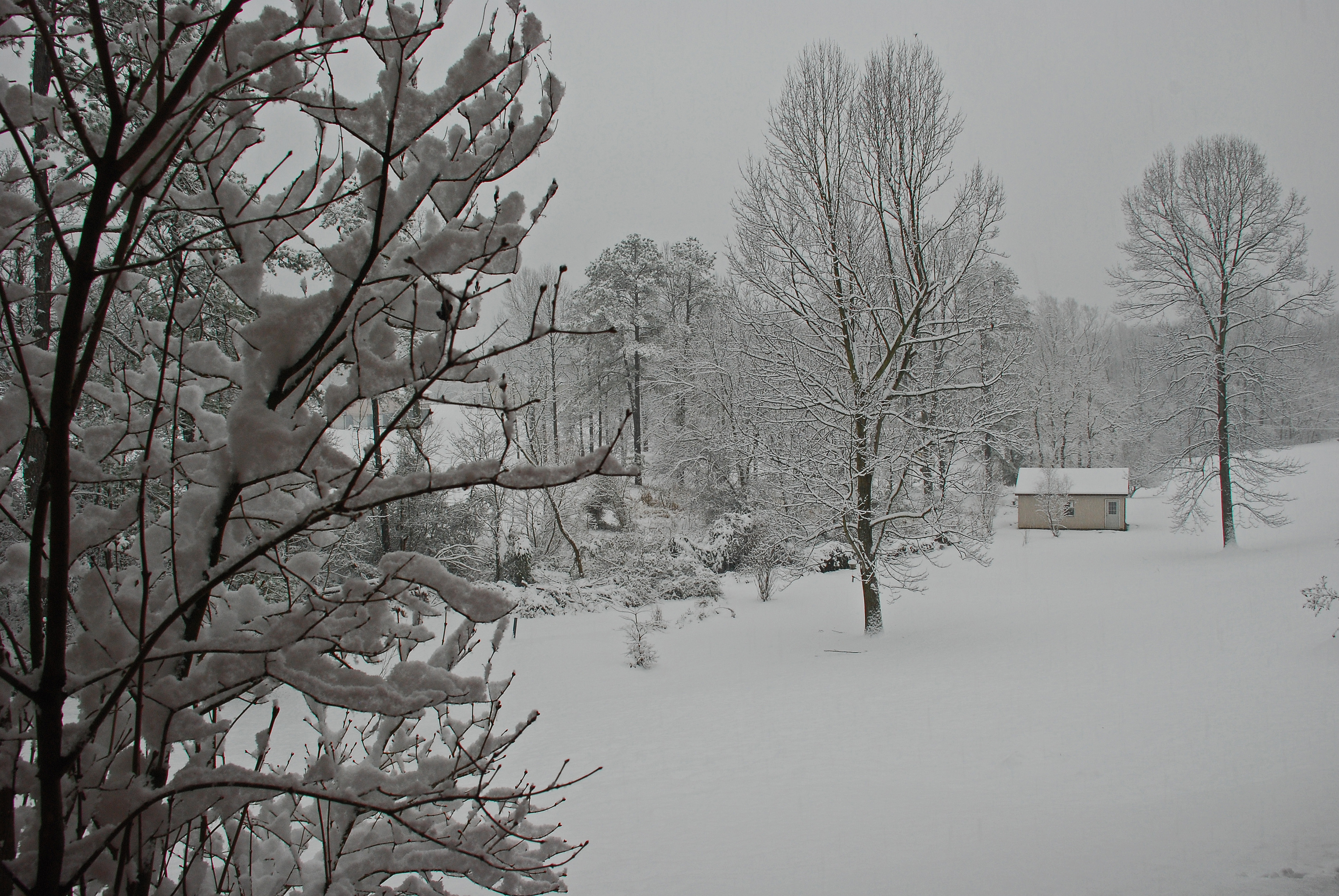
Late December Snow
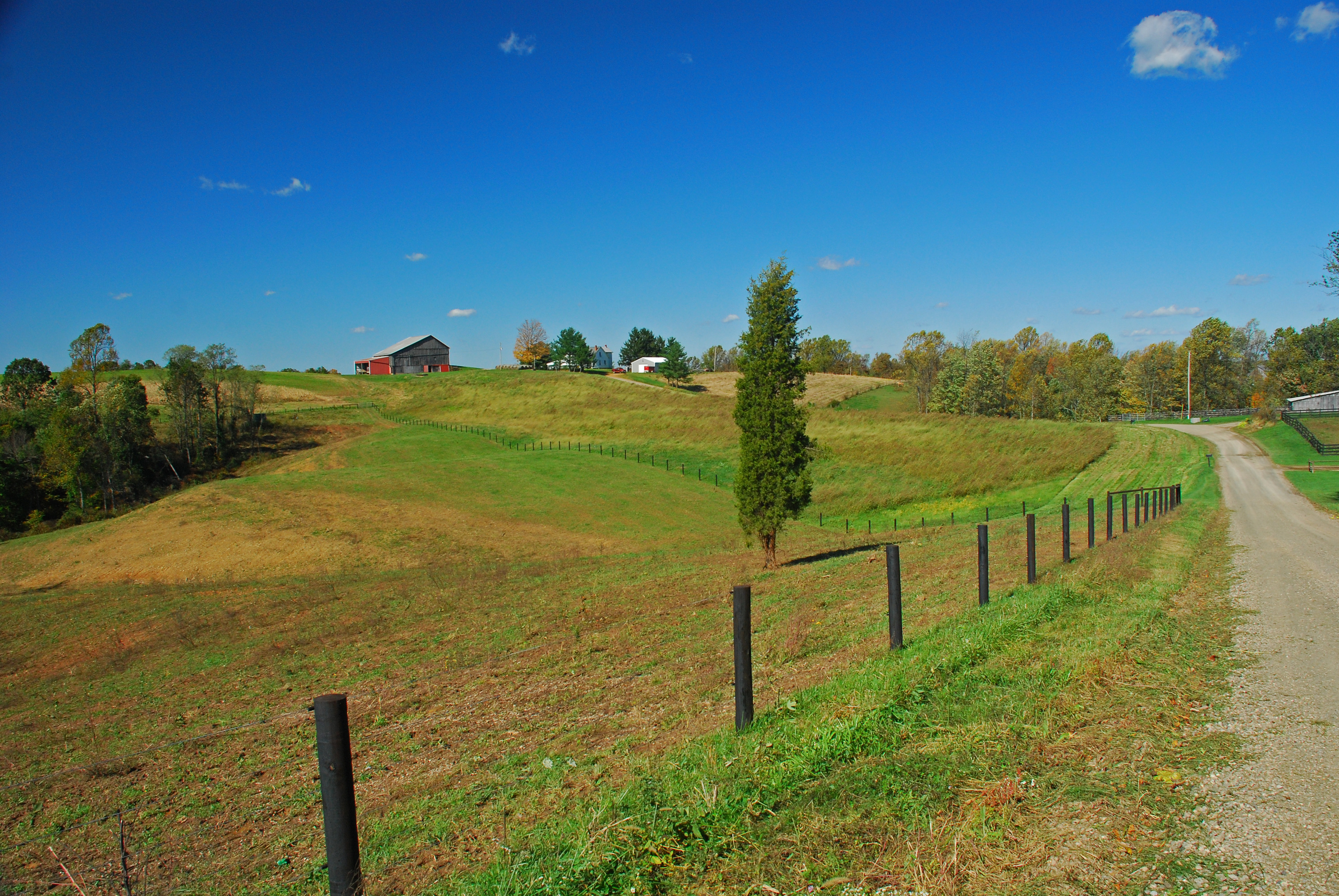
Christy Road Spring Landscape

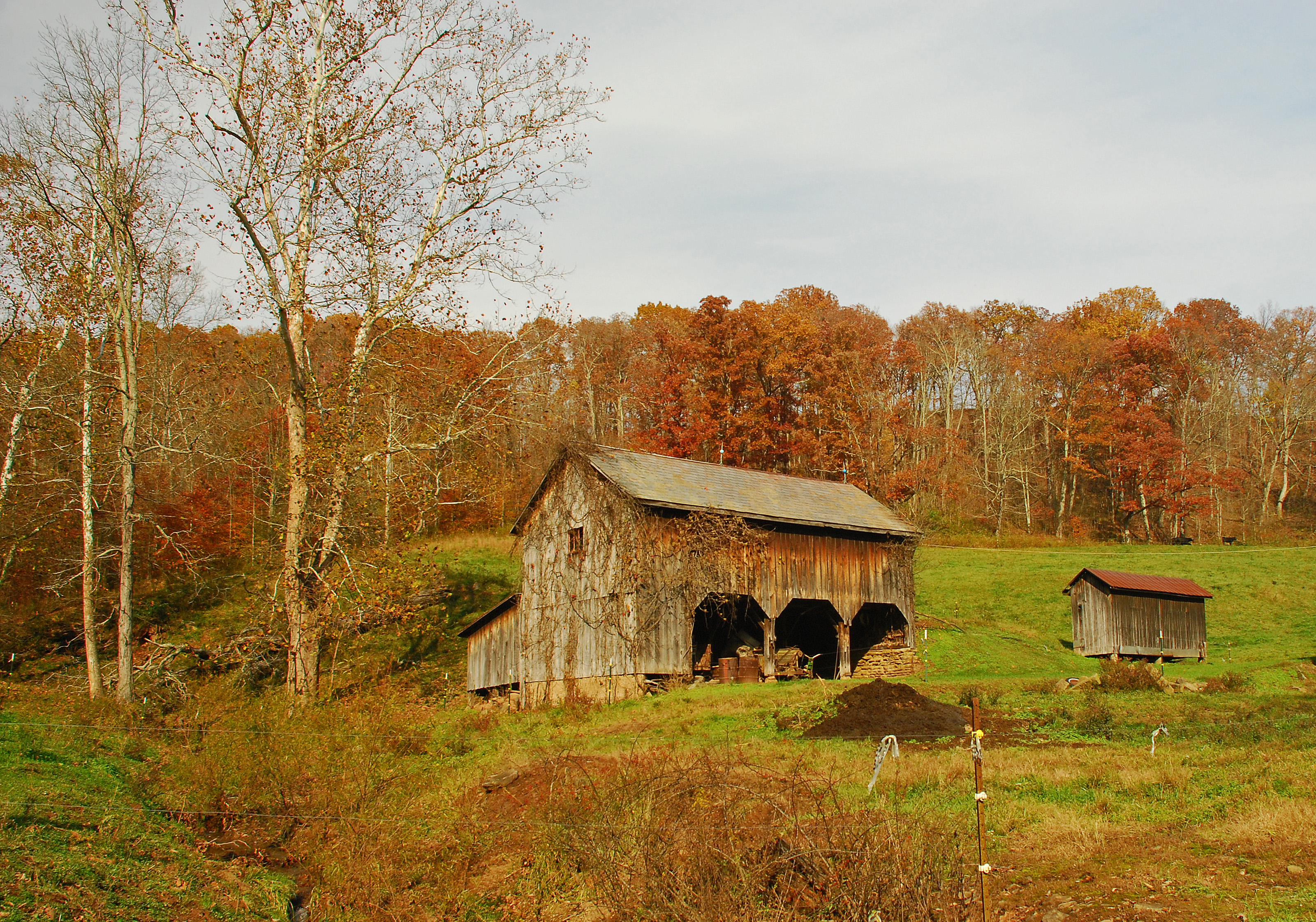
View of Mill at Wolf Creek near Muskingum River

Red Fox Road
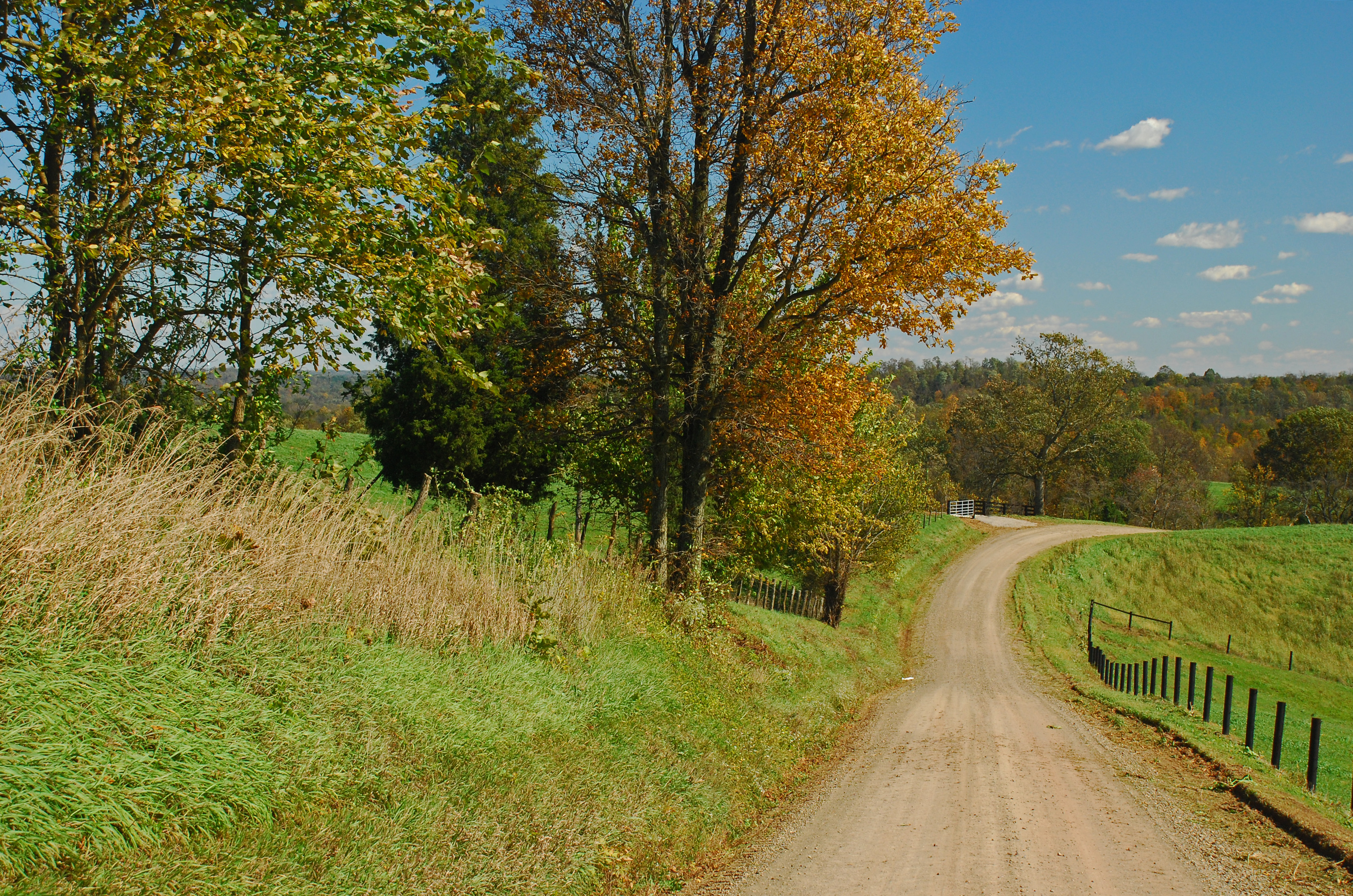
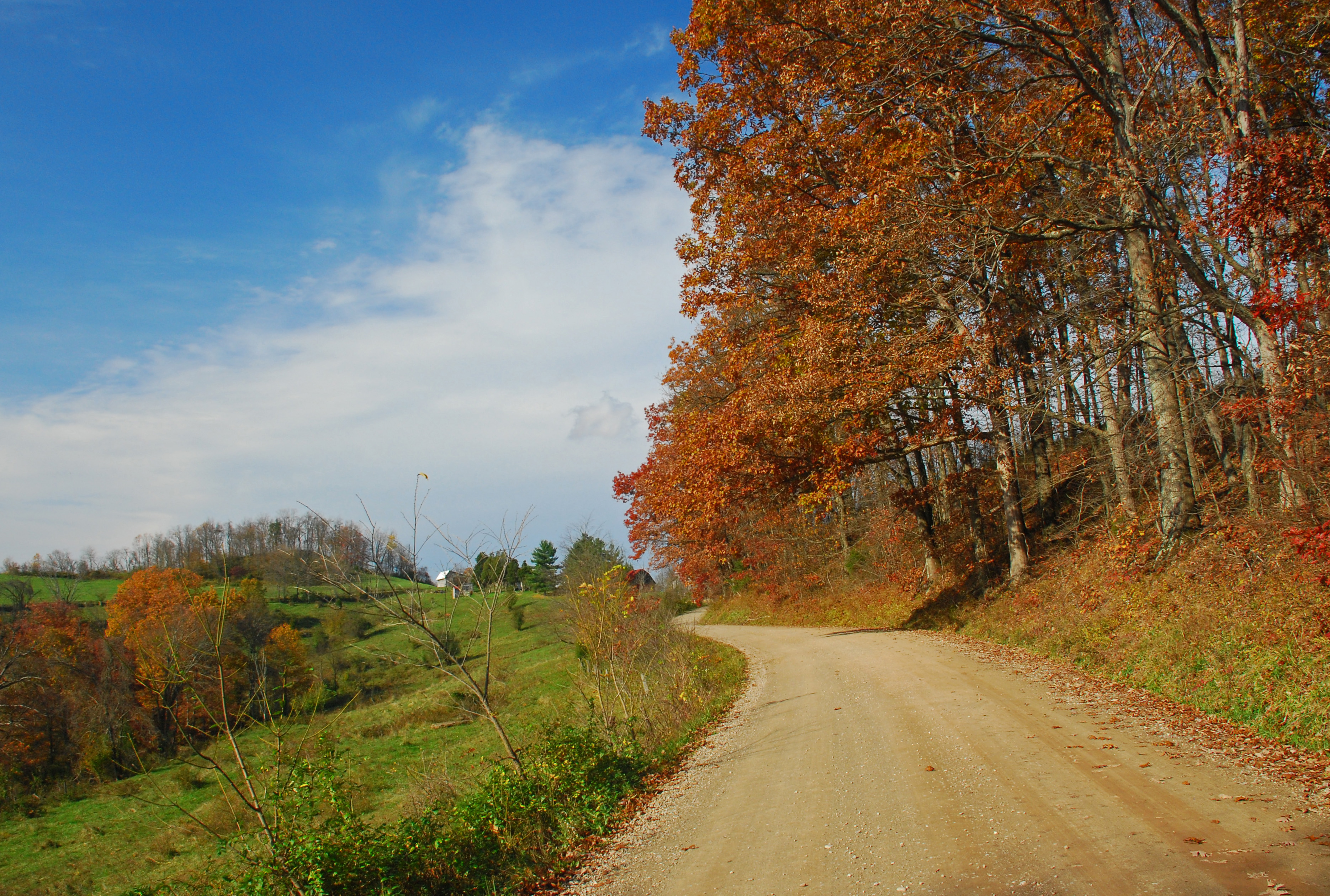
Tornes Road Fall Landscape

I Could Save How Much by Switching to Geico
It's Here
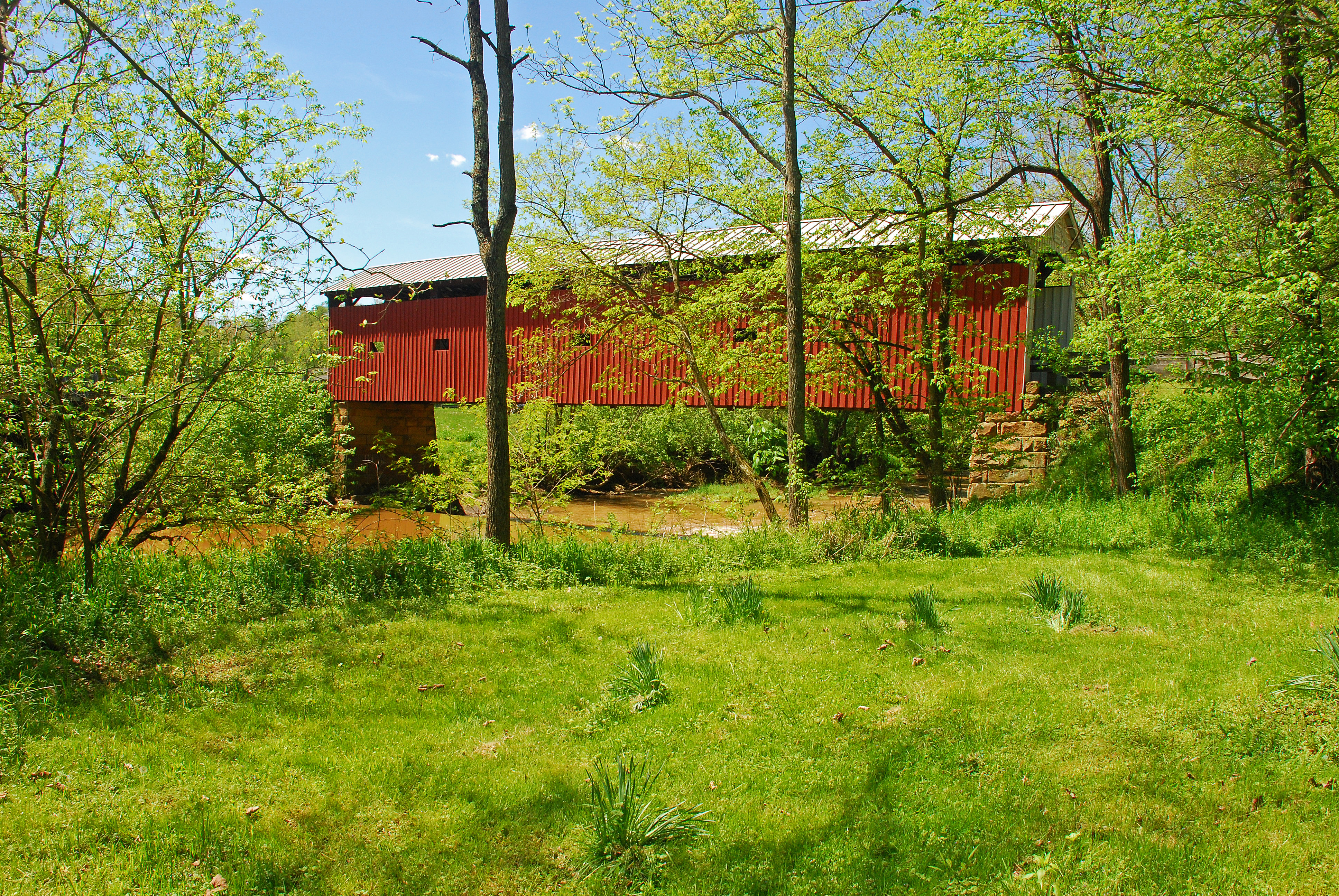
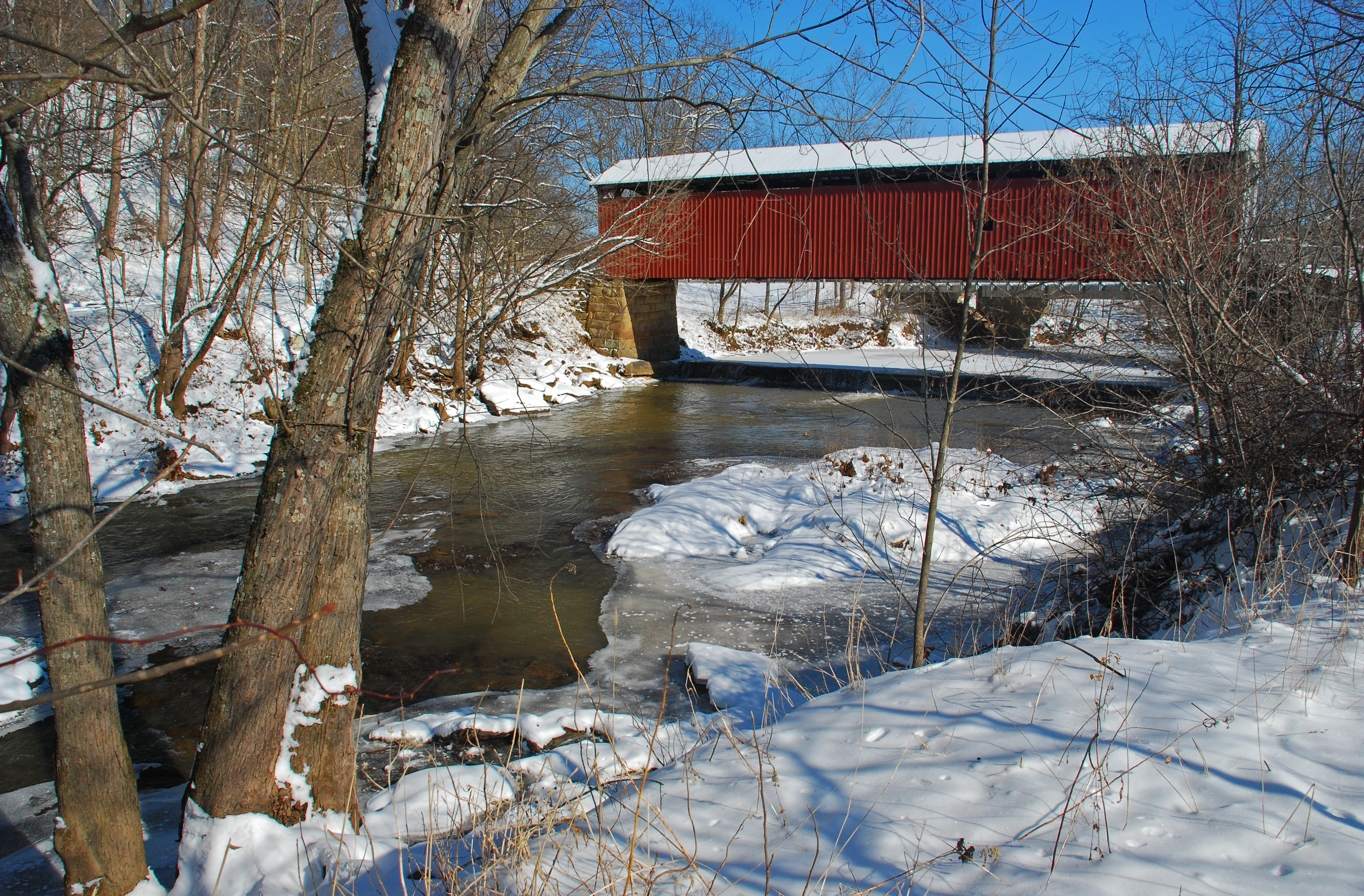
Harra Covered Bridge Spring View
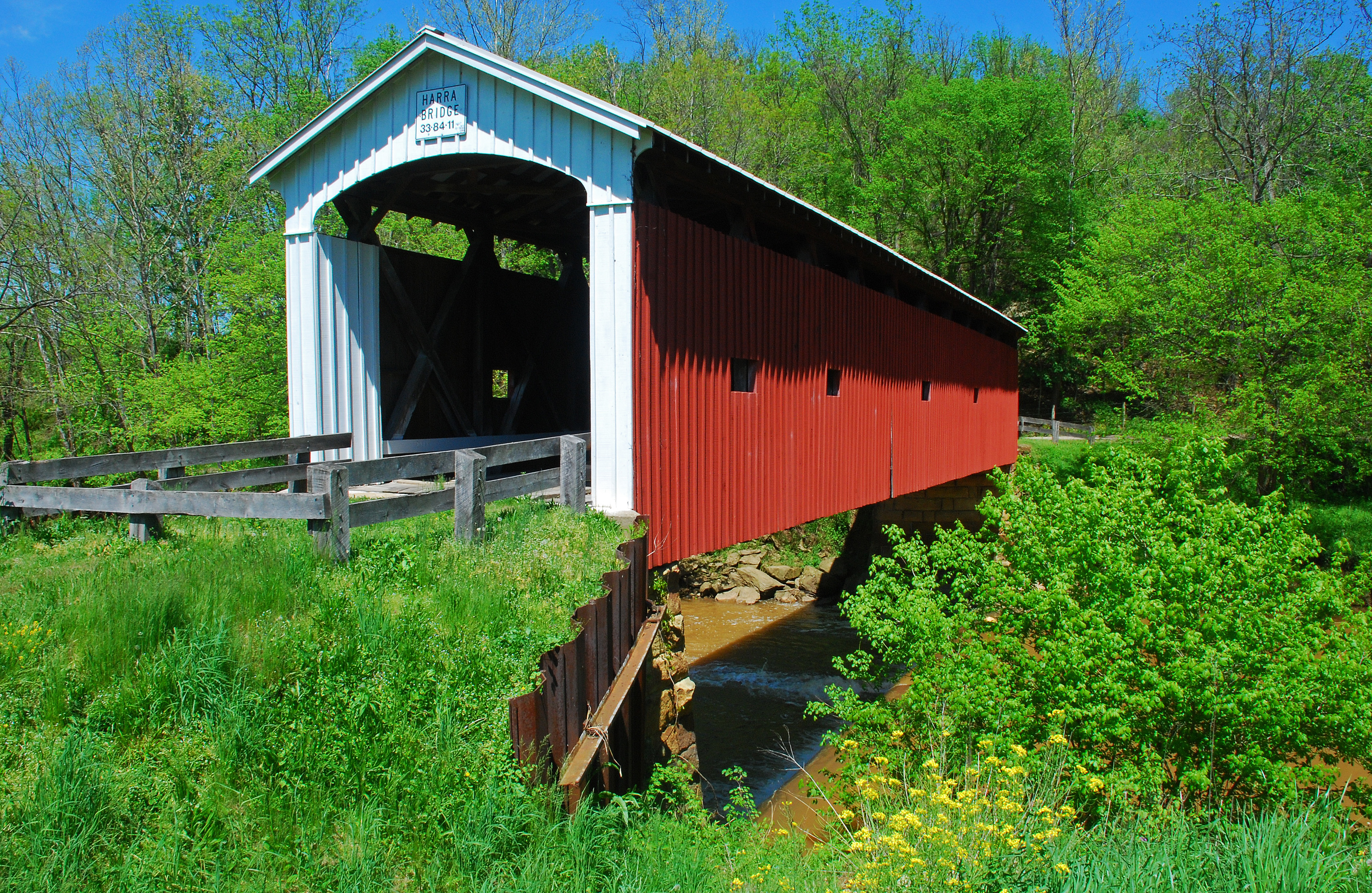
Harra Covered Bridge Spring View

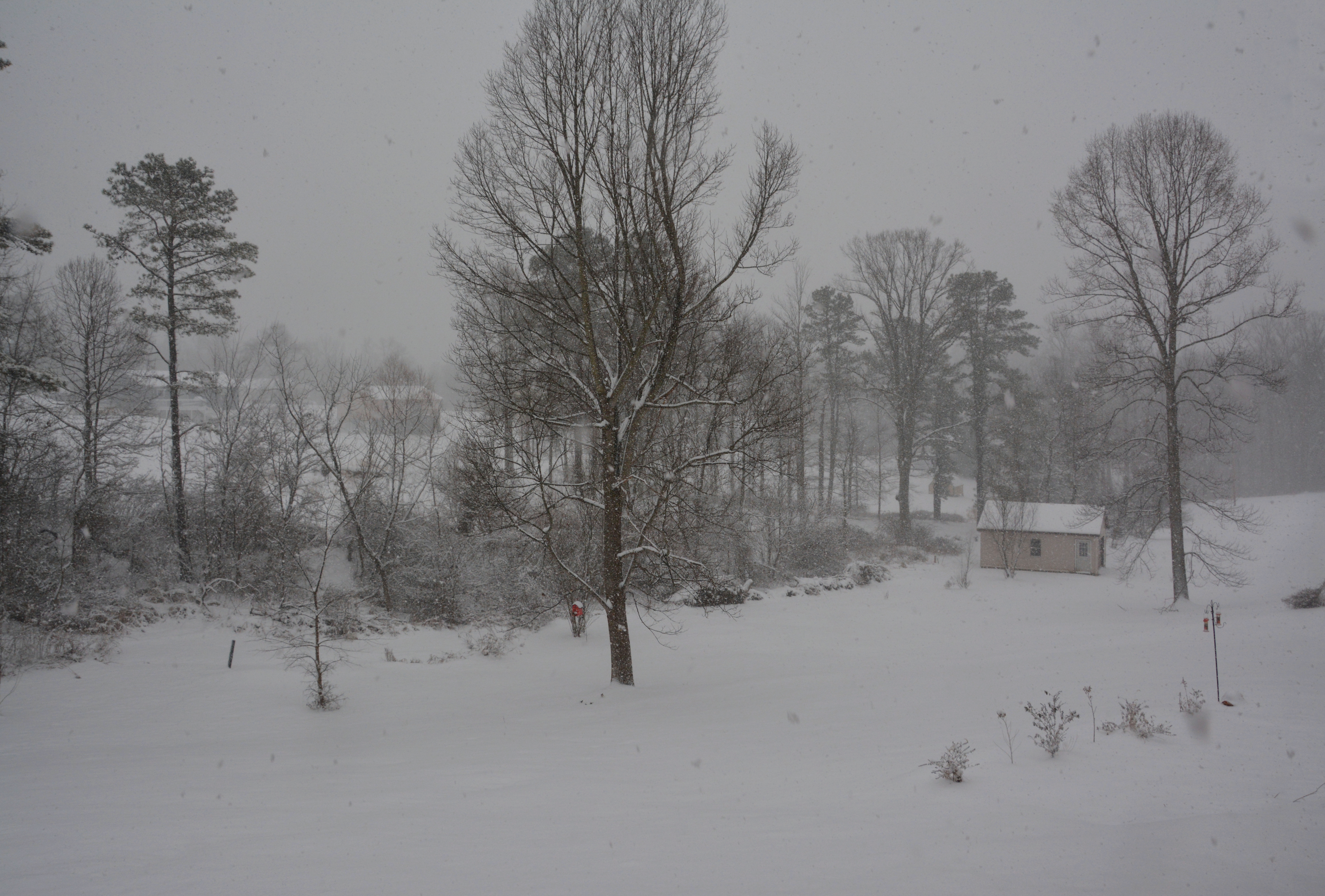
First Snow
Tornes Road Fall Landscape
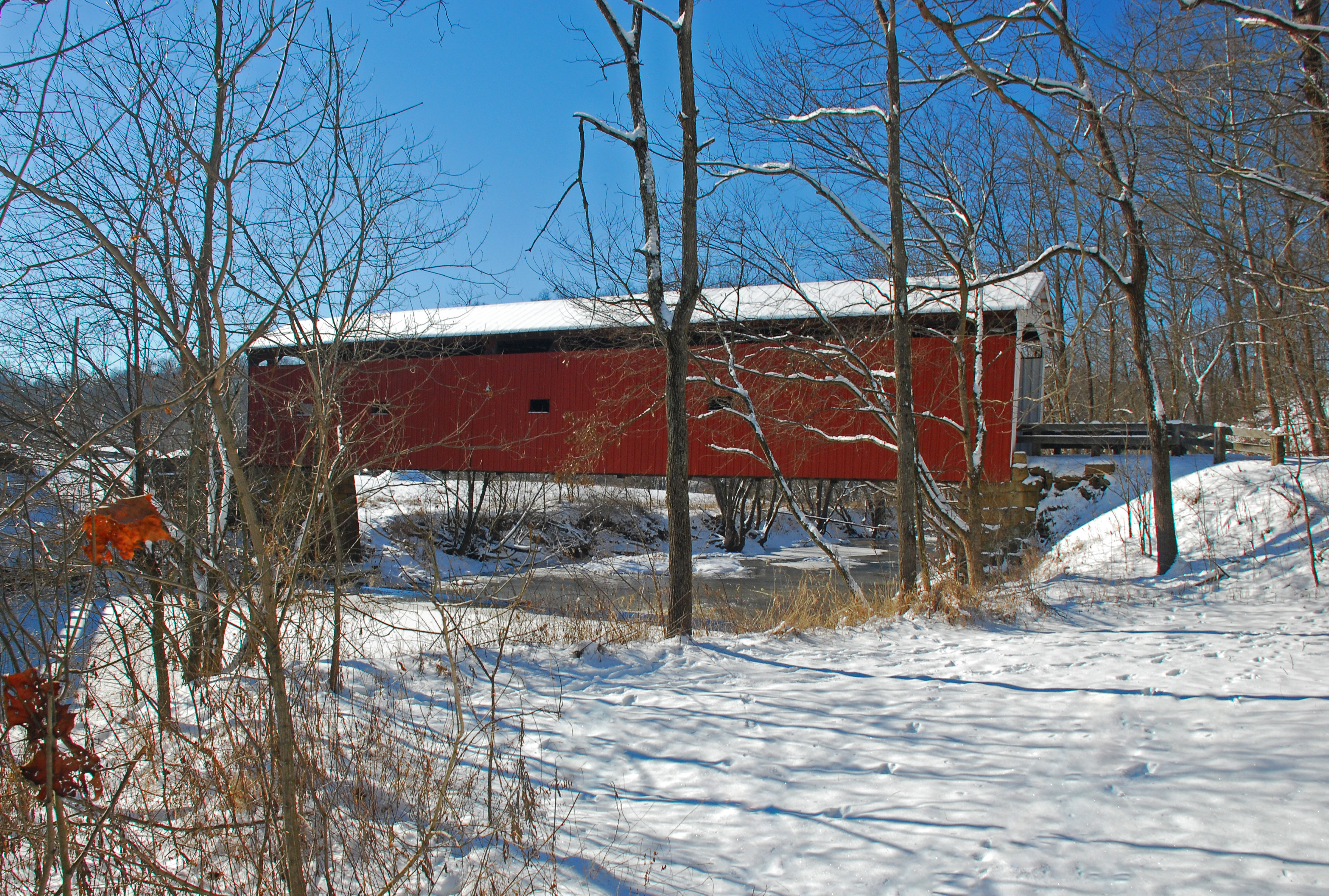
Harra Covered Bridge Winter View
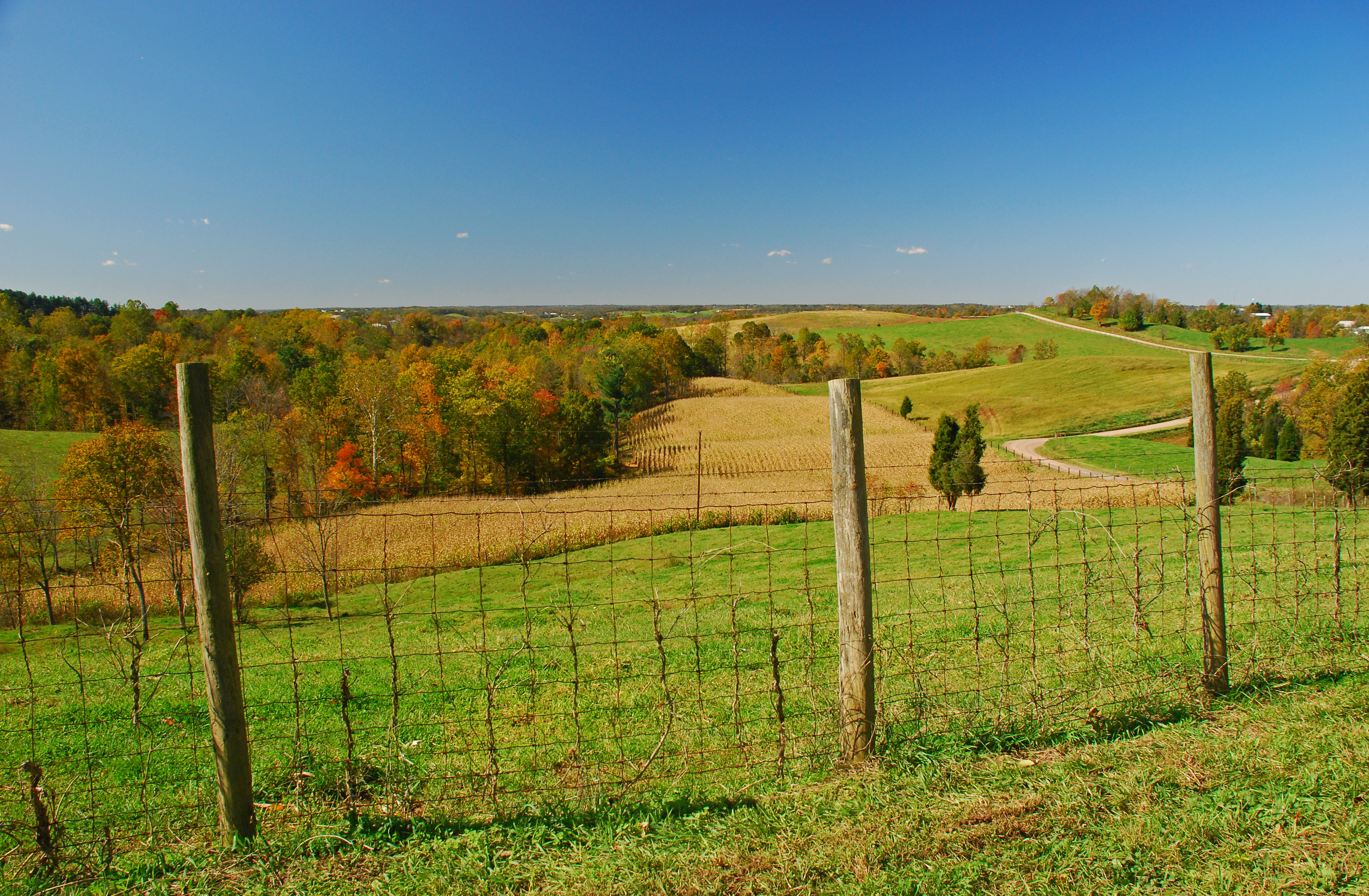
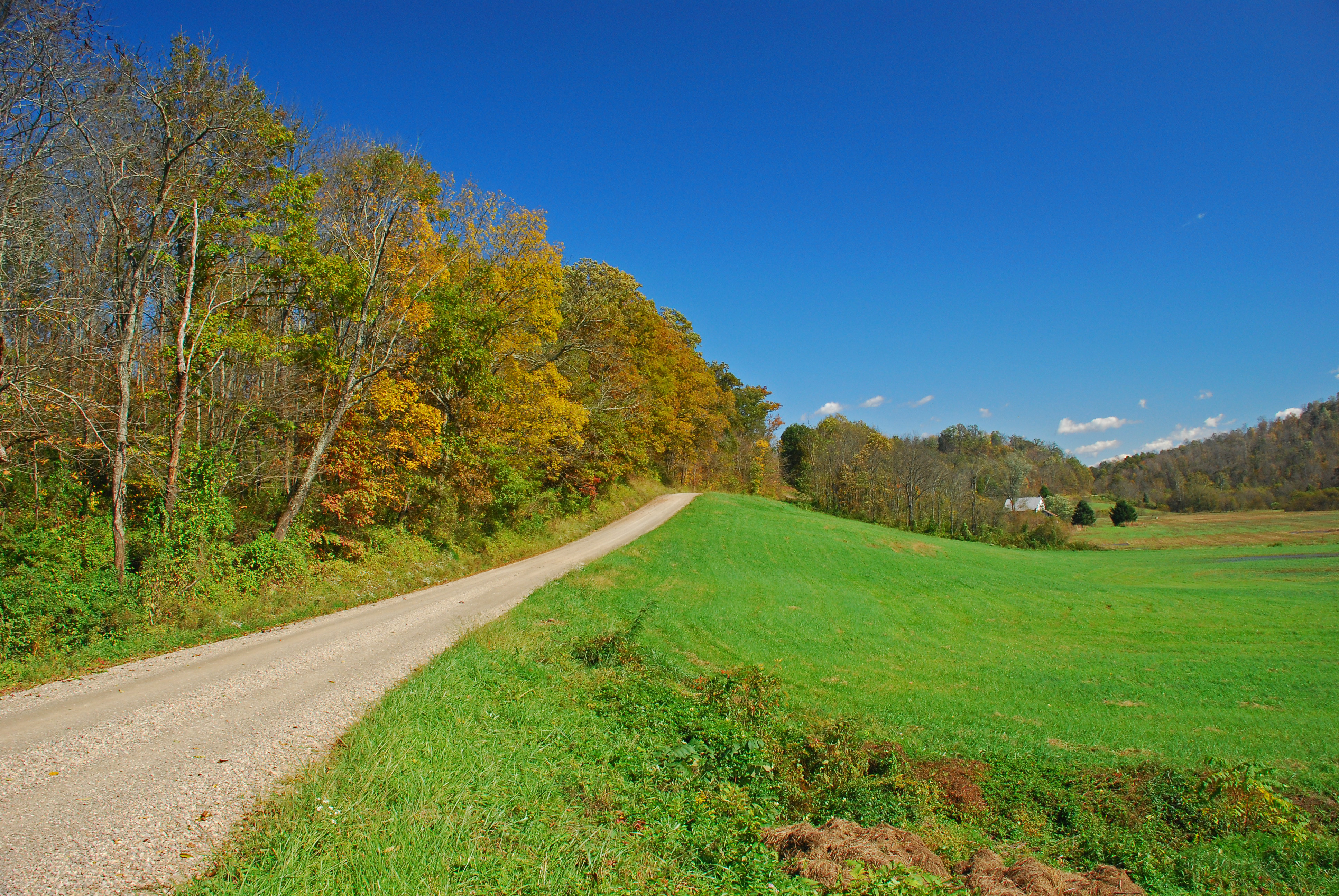
Tornes Road Fall Landscape
Christy Road Spring Landscape
Christy Road Spring Landscape
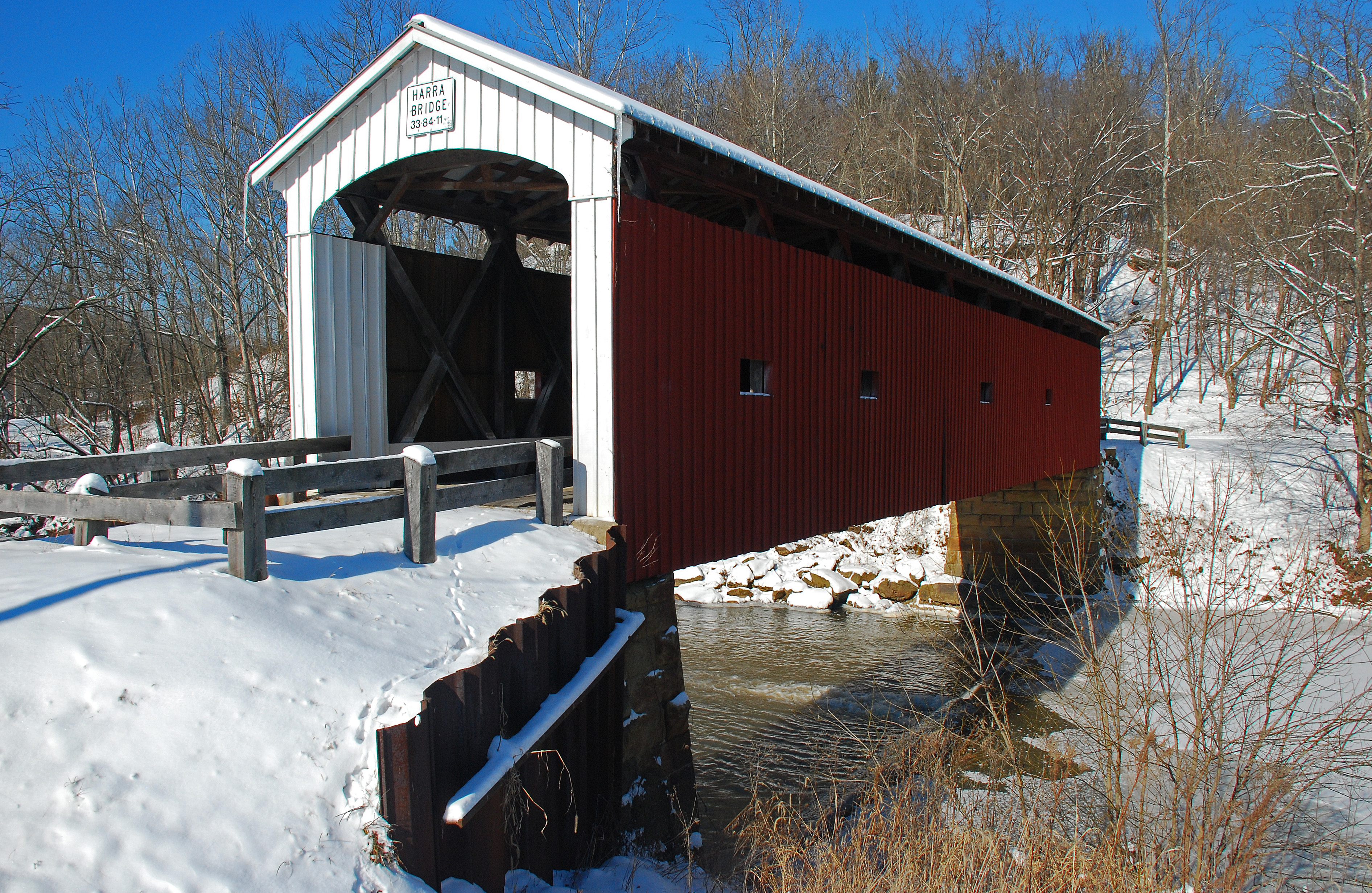
Harra Covered Bridge Winter View

Harra Covered Bridge Spring View
Tornes Road Fall Landscape
Harra Covered Bridge Winter View

Wild Violets

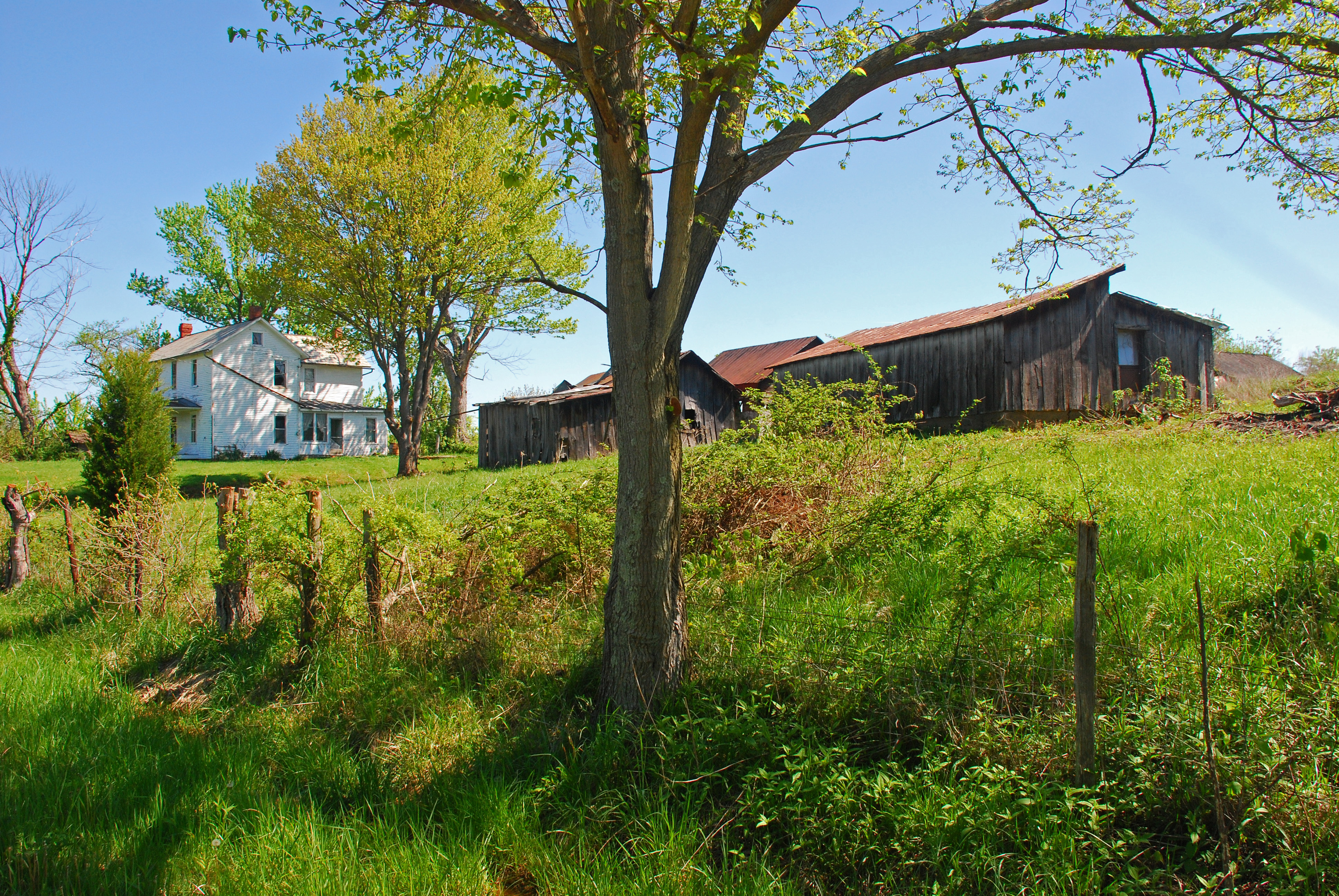
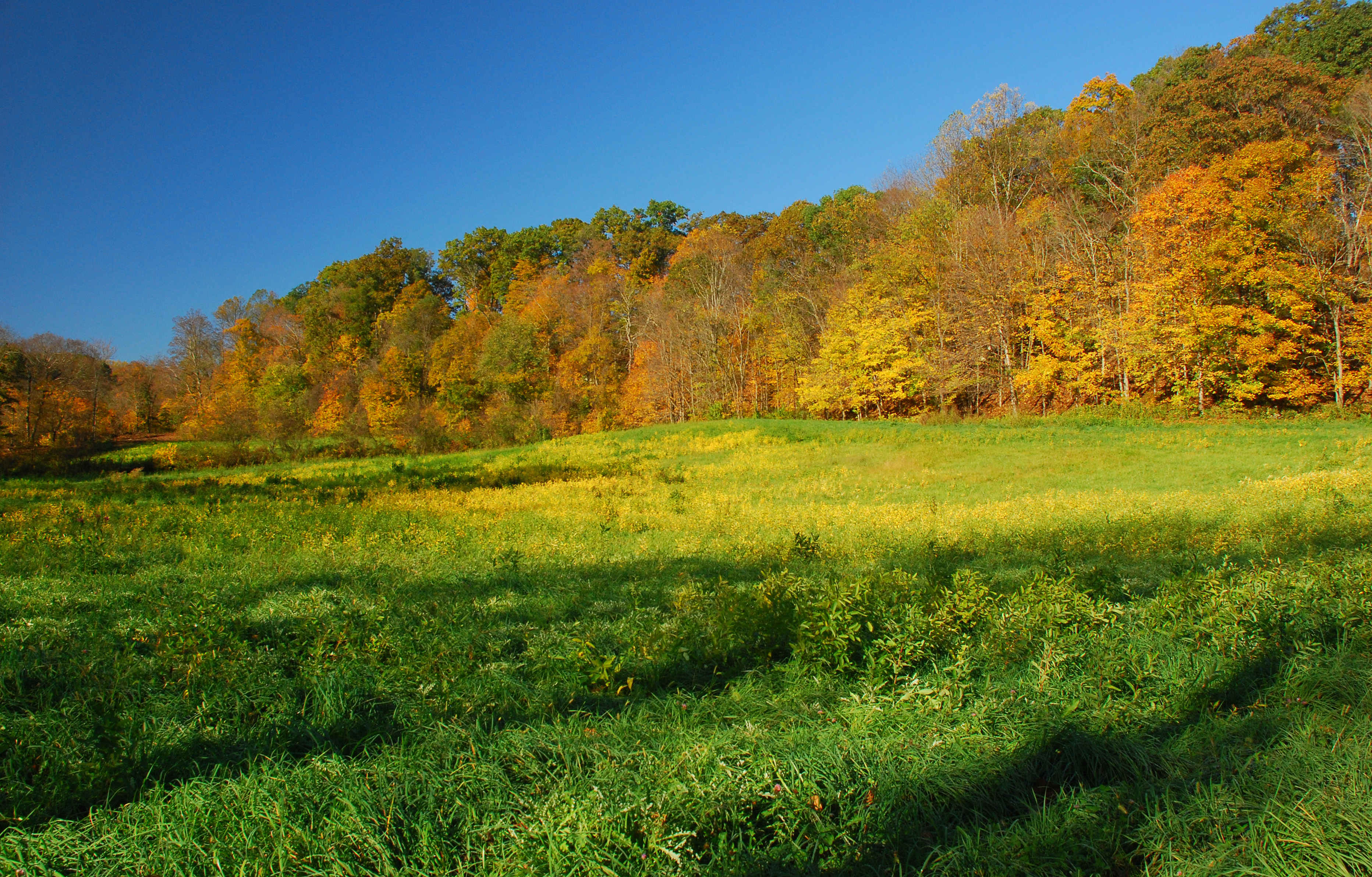
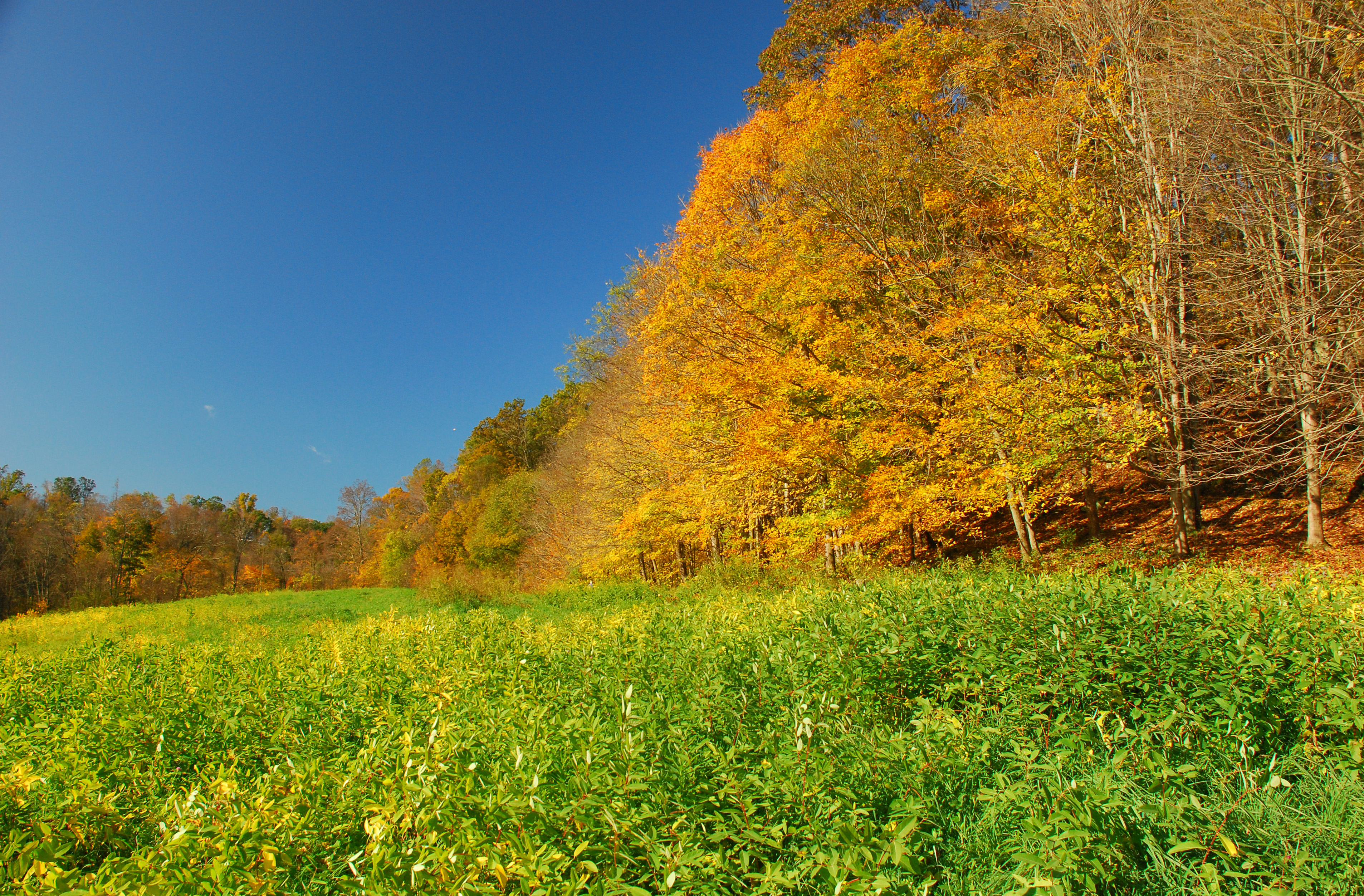
Autumn Landscape

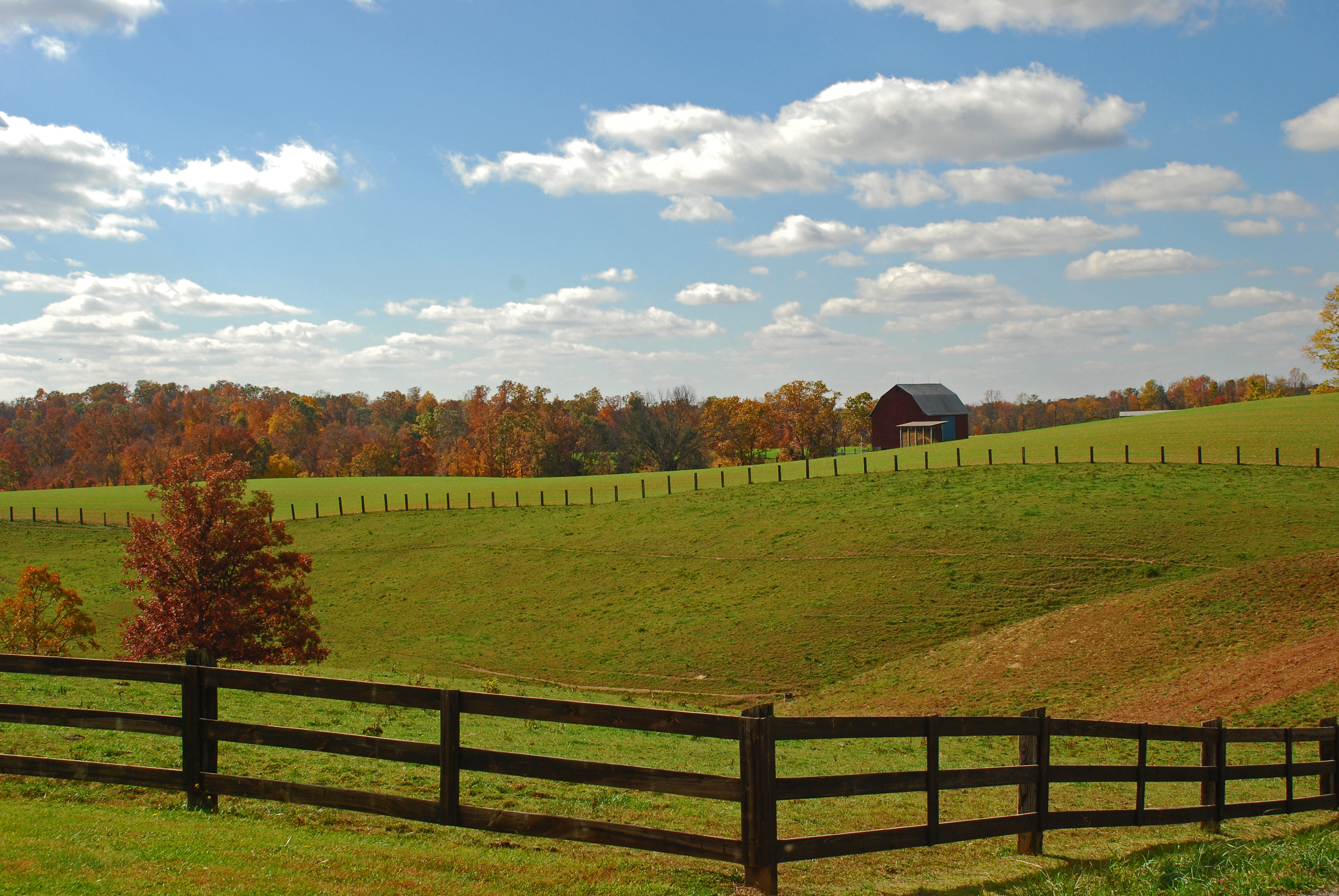
Churchtown Fall Landscape

Churchtown Fall Landscapes
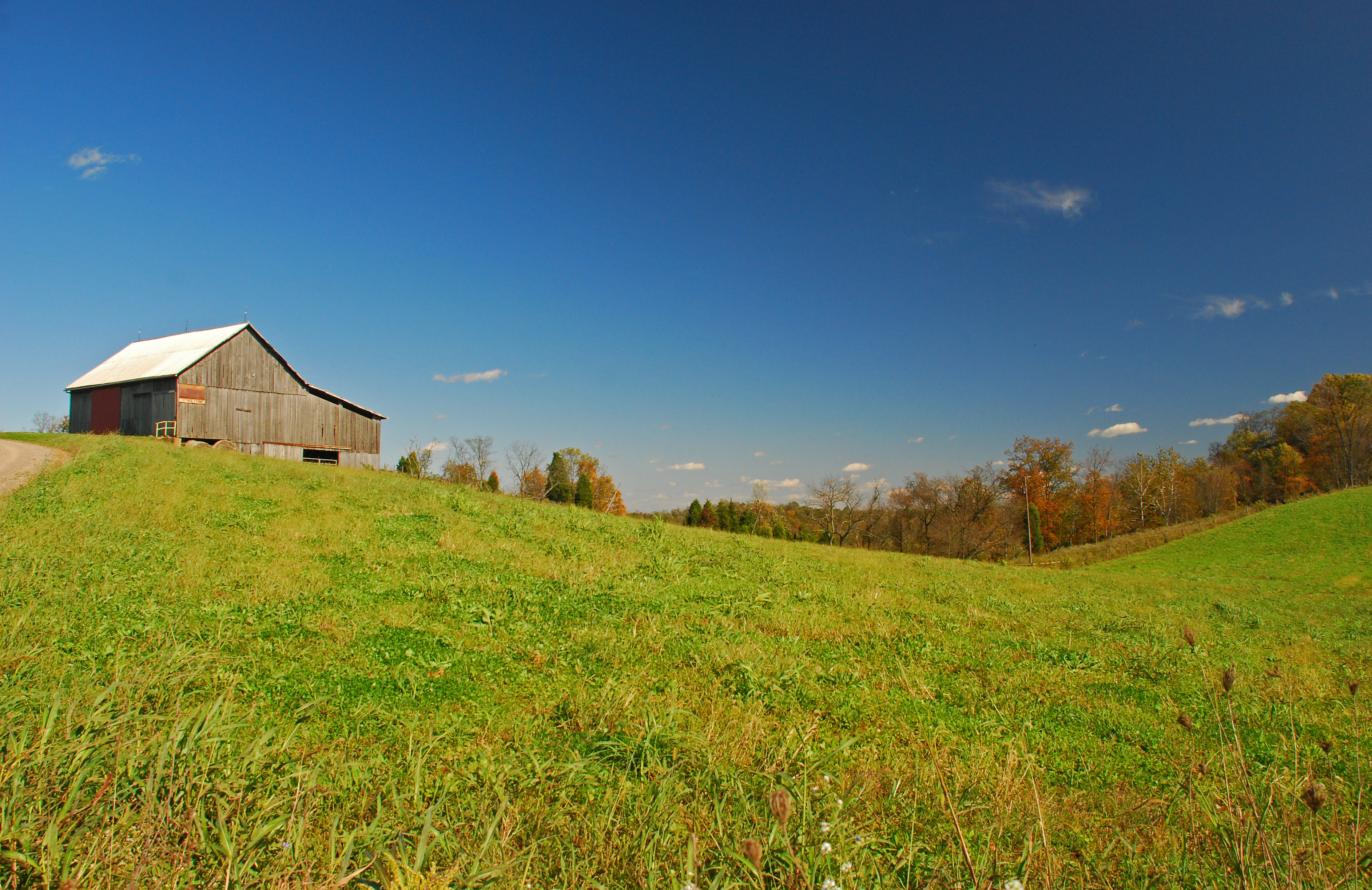
May Landscape

Late Fall Color in Churchtown Ohio

Olinn Road Fall Landscape
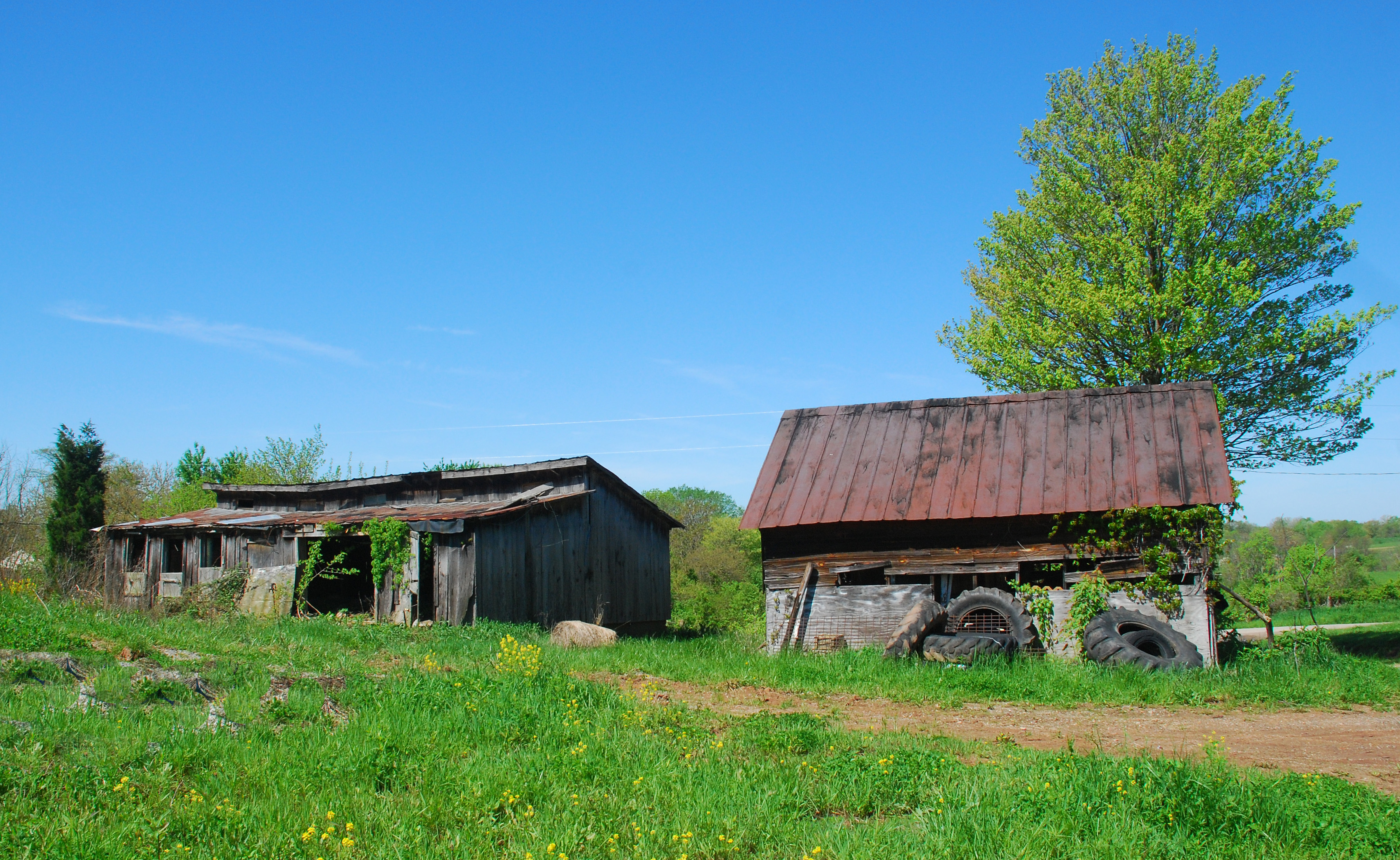
Fall Landscape
Rummer Road fall Colors
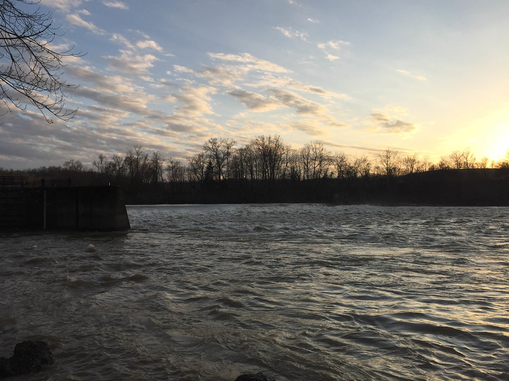
Luke Chute Lock & Dam #5
Churchtown Fall Landscape

Lang Ridge Road Fall Landscape

Red Spotted Purple Butterfly

Fall Landscape

Autumn Landscape
Churchtown Fall Landscape
Rainbow Road Fall Landscape
Christy Road Oct Landscape
Lang Ridge Road Fall Landscape

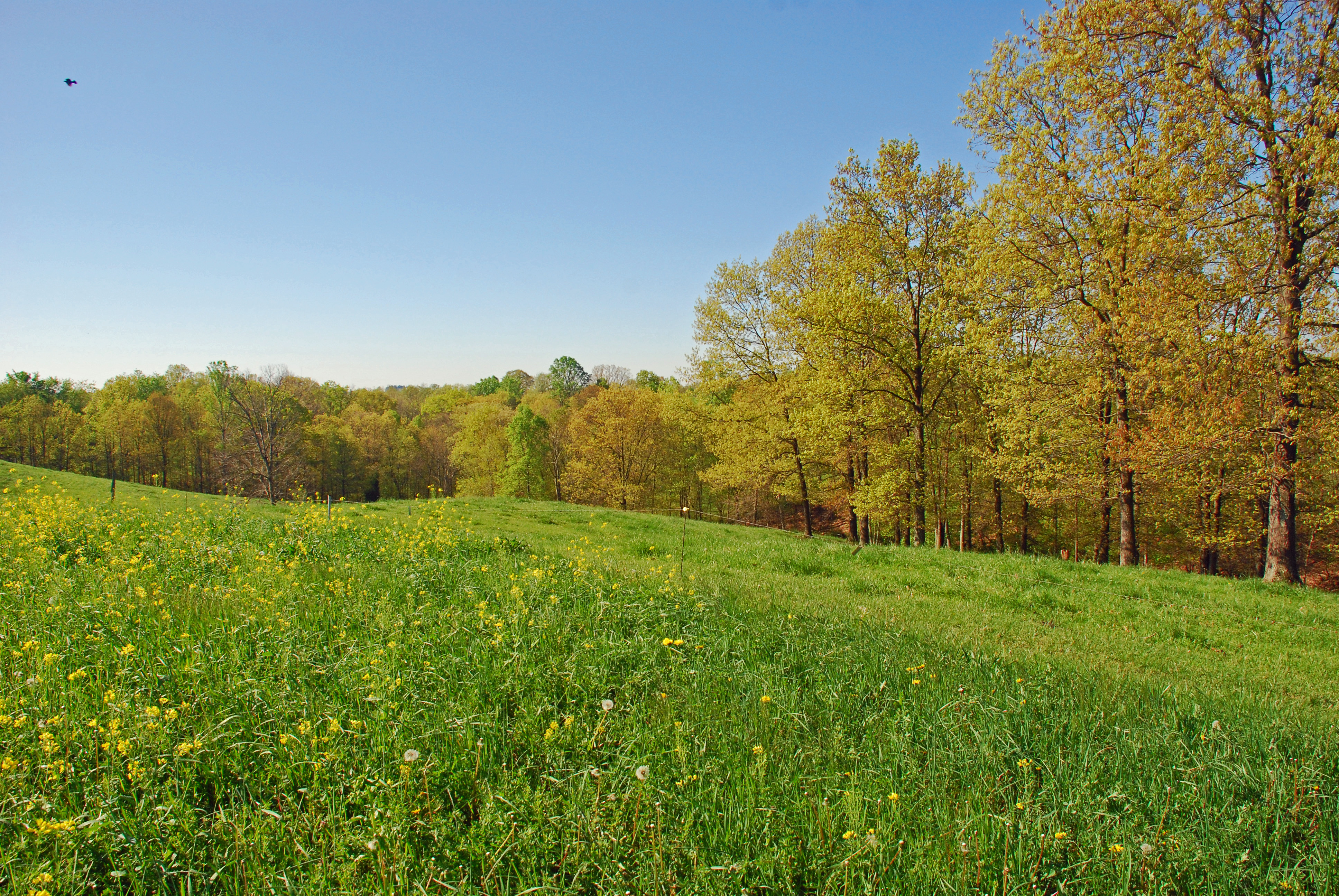
Early May Spring Landscape
Topographic Map of Waterford Township, OH, USA
Find elevation by address:

Places in Waterford Township, OH, USA:
Places near Waterford Township, OH, USA:
900 Beebe Rd
2371 Righteous Ridge Rd
20 Windy Point Dr
Waterford
871 Mcneal Rd
1127 Sandridge Rd
Luke Chute
Watertown Township
20 Watertown Rd, Waterford, OH, USA
9510 Oh-676
Windsor Township
Creek Rd, Stockport, OH, USA
1856 Pineridge Rd
Palmer Township
Oak Hill Road
6139 Mercer Ln
6139 Mercer Ln
Barlow Township
OH-, Cutler, OH, USA
Wesley Township
Recent Searches:
- Elevation of Elwyn Dr, Roanoke Rapids, NC, USA
- Elevation of Congressional Dr, Stevensville, MD, USA
- Elevation of Bellview Rd, McLean, VA, USA
- Elevation of Stage Island Rd, Chatham, MA, USA
- Elevation of Shibuya Scramble Crossing, 21 Udagawacho, Shibuya City, Tokyo -, Japan
- Elevation of Jadagoniai, Kaunas District Municipality, Lithuania
- Elevation of Pagonija rock, Kranto 7-oji g. 8"N, Kaunas, Lithuania
- Elevation of Co Rd 87, Jamestown, CO, USA
- Elevation of Tenjo, Cundinamarca, Colombia
- Elevation of Côte-des-Neiges, Montreal, QC H4A 3J6, Canada