Elevation of Summit Rd, New Concord, OH, USA
Location: United States > Ohio > Guernsey County >
Longitude: -81.70763
Latitude: 39.997073
Elevation: 278m / 912feet
Barometric Pressure: 98KPa
Elevation Map:
Satellite Map:
Related Photos:

John Glenn & Mick
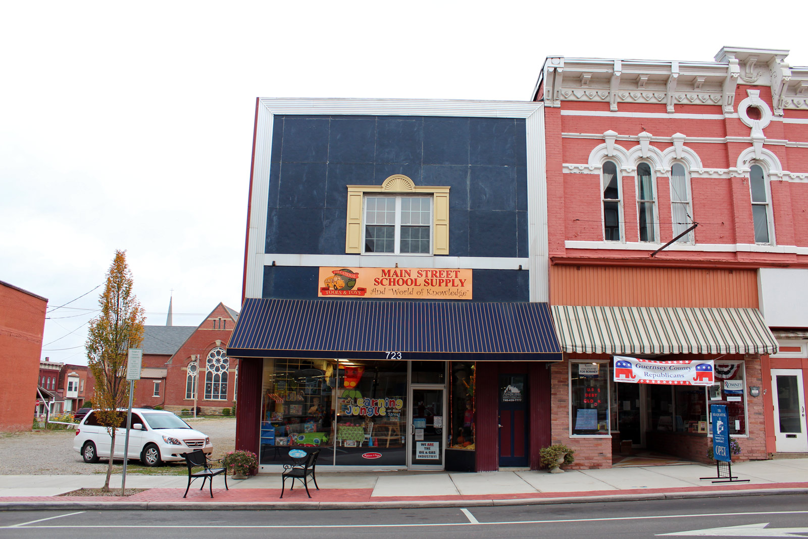
Main Street School Supply
My old stomping grounds.

Pegasus Farm 2015

Cambridge Reservoir

Tuscarawas River

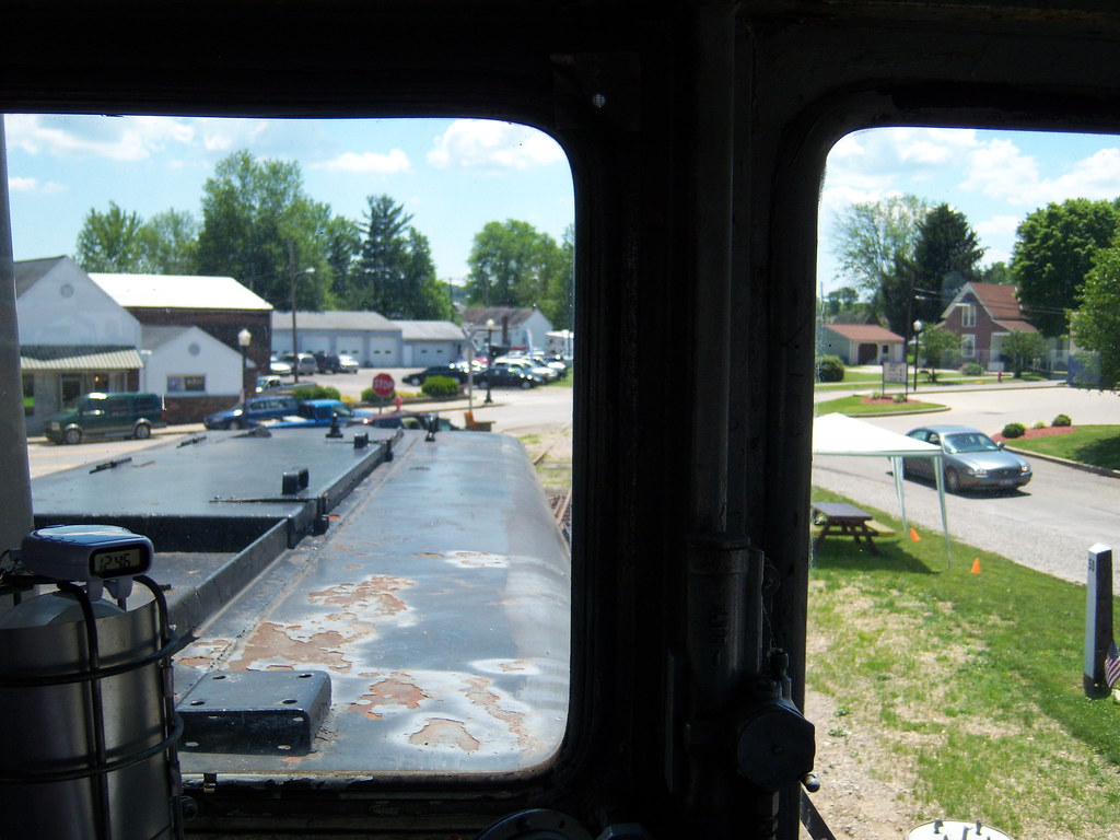
Madeline checking out the engine.
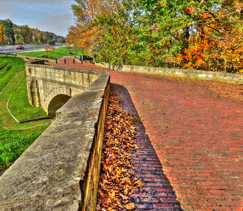
Fox Creek S Bridge
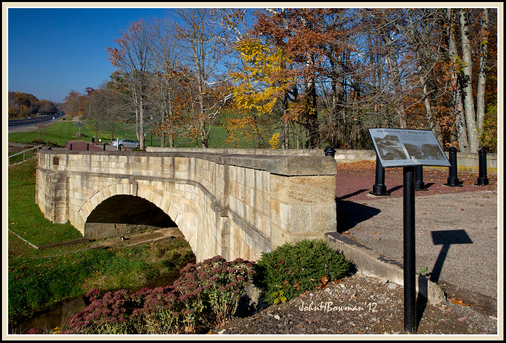
Fox Creek "S" Bridge, 1828
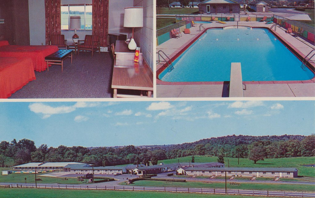
Baker's Motel - Norwich, Ohio

West View

Fox Creek "S" Bridge & Park Sign
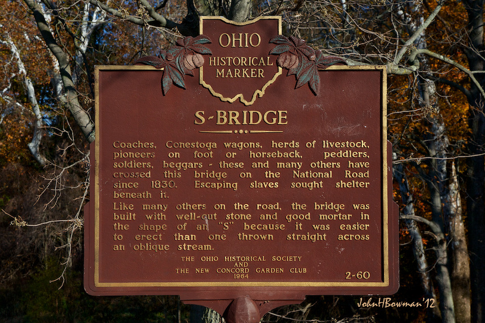
Fox Creek "S" Bridge Historical Marker
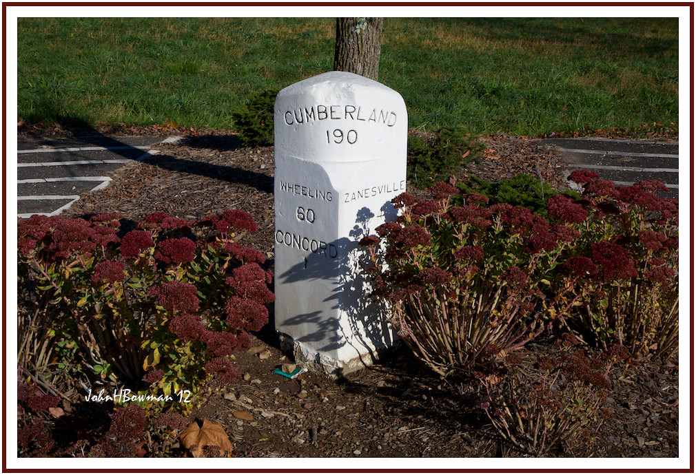
National Road Milepost Marker

Northwest View

Northeast View
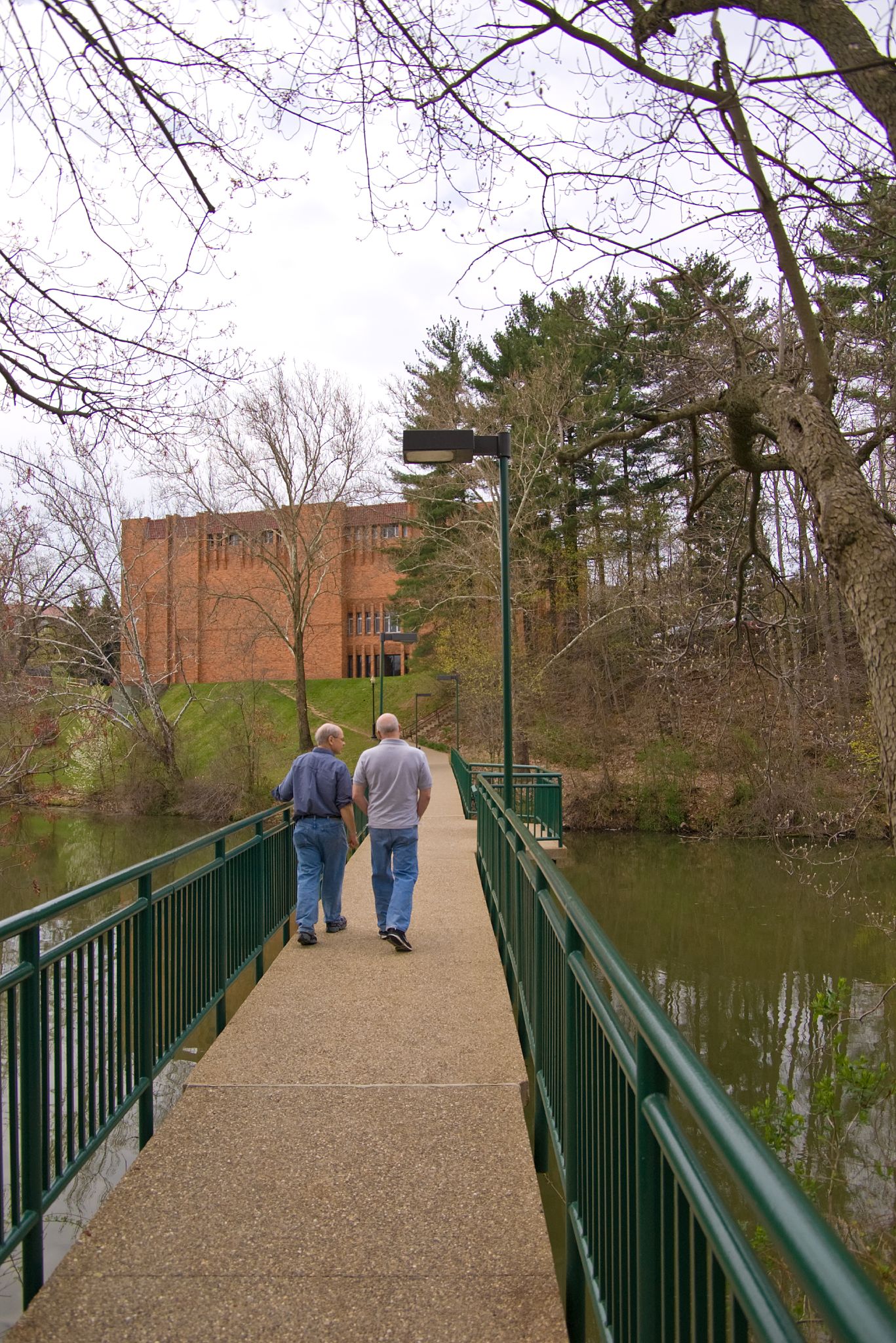
Muskingum College

Hidden view revealed

Great views of Montgomery and Caldwell Halls

Current view Circ Desk to Ref Desk
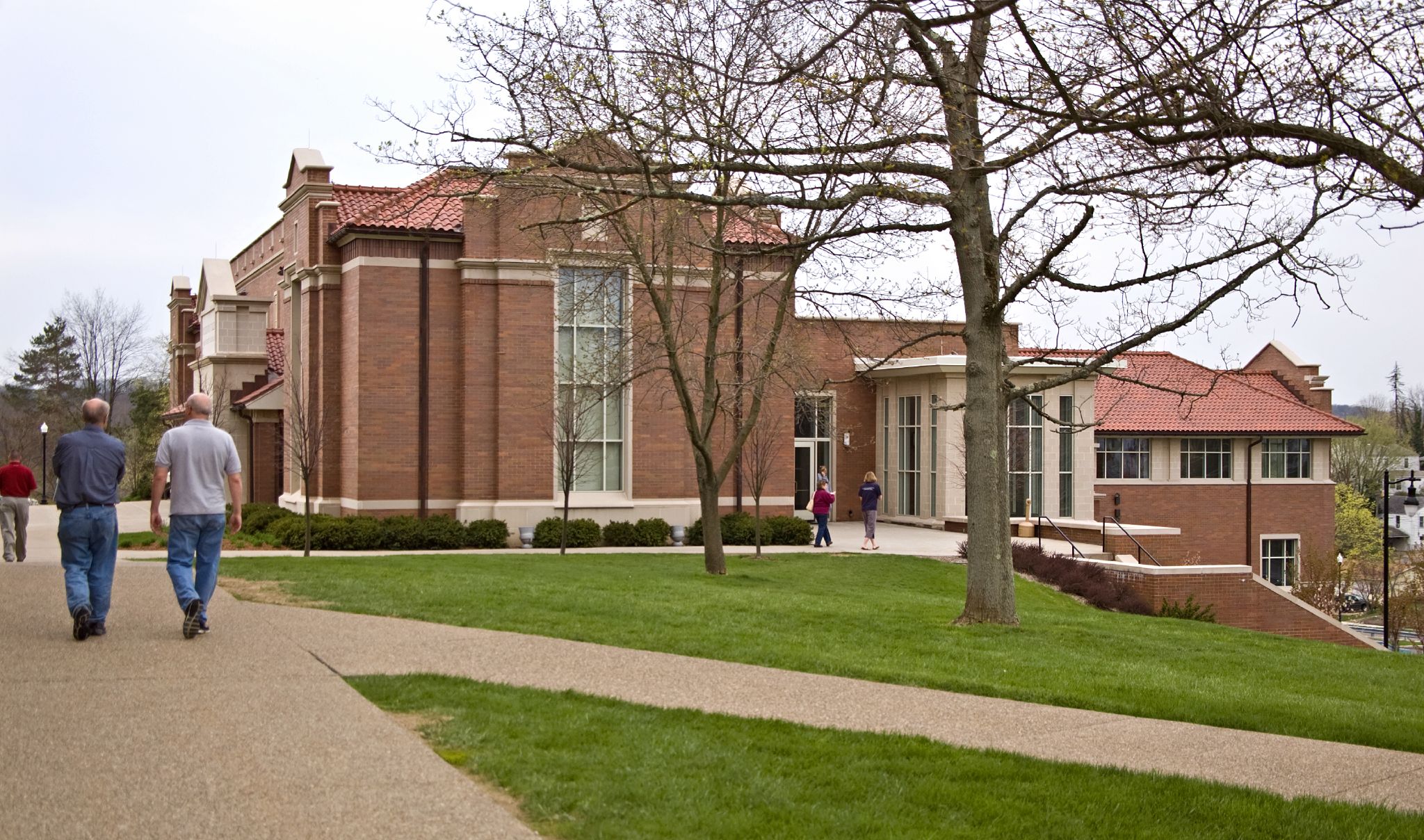
Muskingum College

Ohio sunset last night

Ohio sunset last night
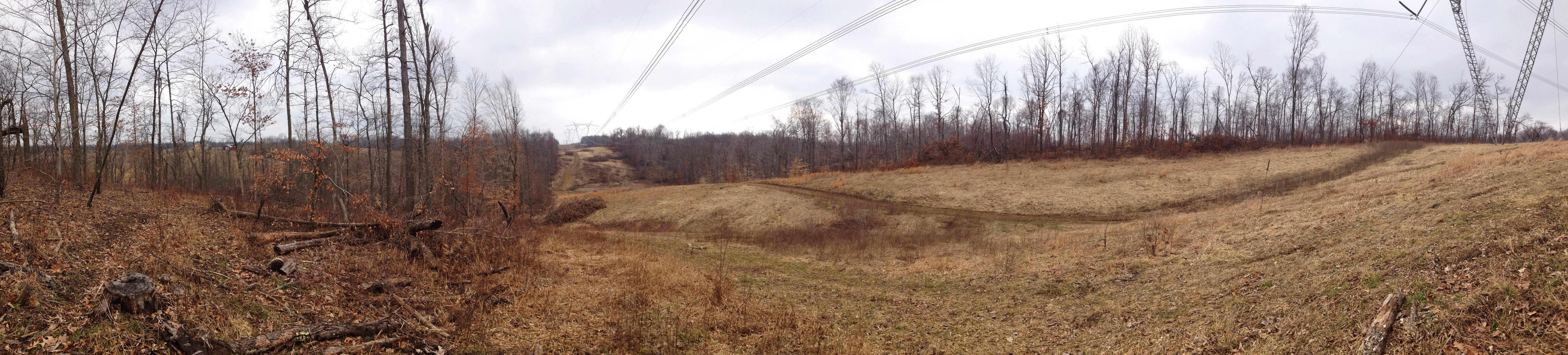
fisher's @ highline right of way
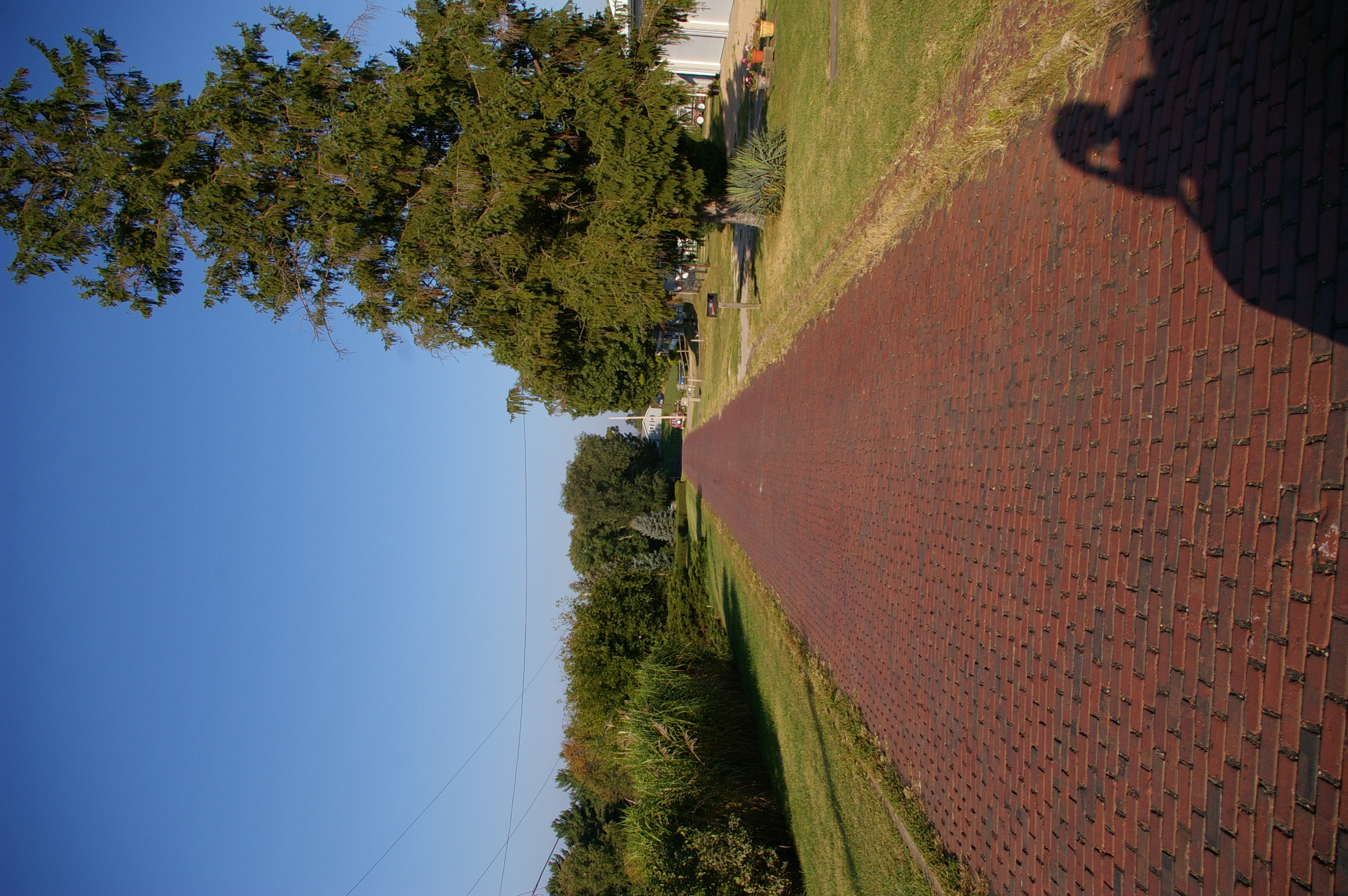
Brick alignment, Historic National Road, Norwich, Ohio
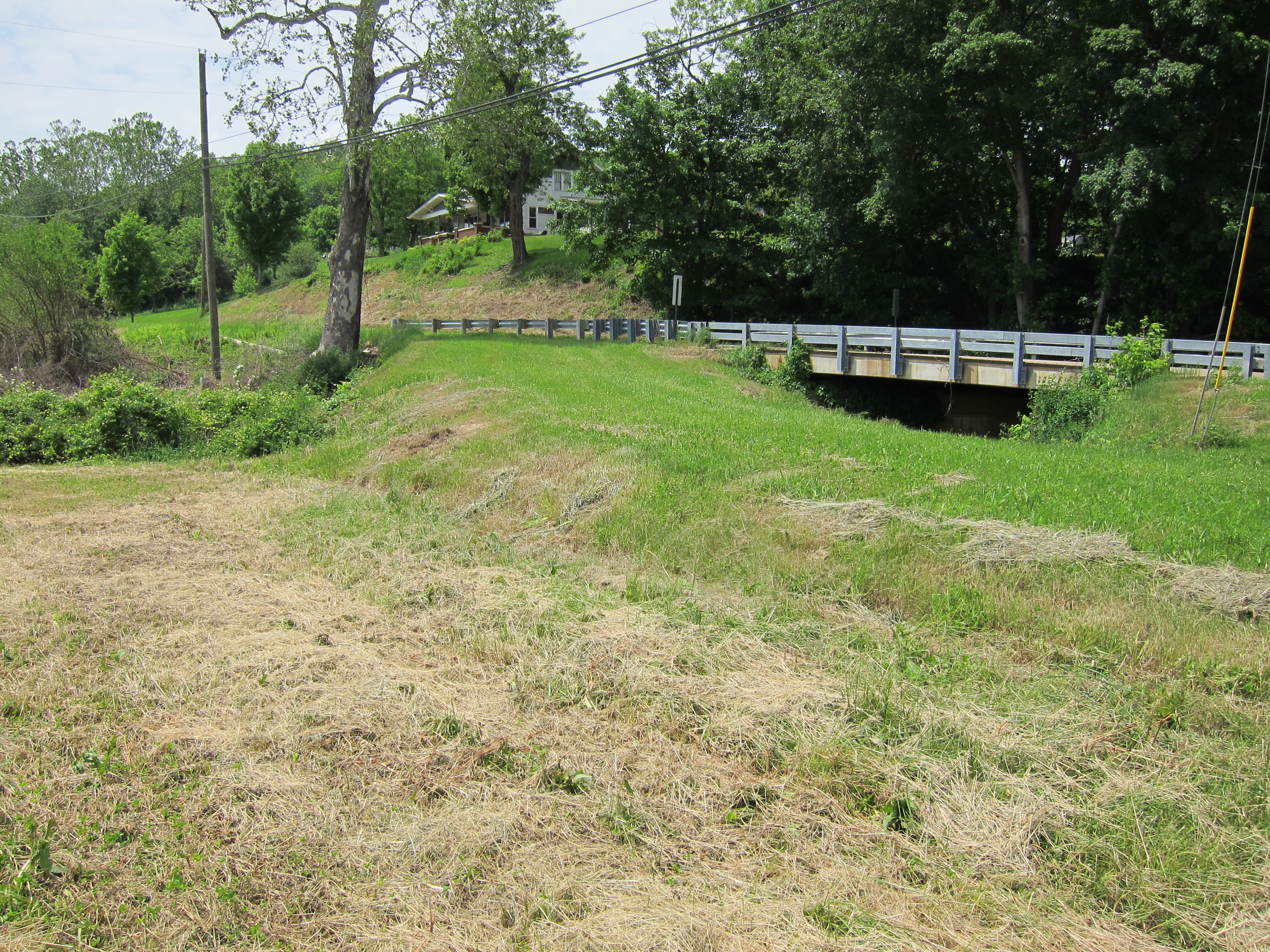
Abandoned bridge

North American Birds

Cambridge Reservoir
Topographic Map of Summit Rd, New Concord, OH, USA
Find elevation by address:

Places near Summit Rd, New Concord, OH, USA:
1 E Main St, New Concord, OH, USA
Adams Township
Union Township
Skyline Dr, Cambridge, OH, USA
Rix Mills Rd, New Concord, OH, USA
Main St, Norwich, OH, USA
Norwich
Warner Rd, Cambridge, OH, USA
Brick Church Rd, Cambridge, OH, USA
9 Georgetown Rd, Cambridge, OH, USA
Knox Township
Cambridge
2390 Swan Rd
Cambridge Township
805 N 12th St
Chandlersville Rd, Chandlersville, OH, USA
Rich Hill Township
Southgate Rd, Cambridge, OH, USA
Spencer Township
Jackson Township
Recent Searches:
- Elevation of Lampiasi St, Sarasota, FL, USA
- Elevation of Elwyn Dr, Roanoke Rapids, NC, USA
- Elevation of Congressional Dr, Stevensville, MD, USA
- Elevation of Bellview Rd, McLean, VA, USA
- Elevation of Stage Island Rd, Chatham, MA, USA
- Elevation of Shibuya Scramble Crossing, 21 Udagawacho, Shibuya City, Tokyo -, Japan
- Elevation of Jadagoniai, Kaunas District Municipality, Lithuania
- Elevation of Pagonija rock, Kranto 7-oji g. 8"N, Kaunas, Lithuania
- Elevation of Co Rd 87, Jamestown, CO, USA
- Elevation of Tenjo, Cundinamarca, Colombia