Elevation of Jackson Township, OH, USA
Location: United States > Ohio > Guernsey County >
Longitude: -81.570610
Latitude: 39.9715609
Elevation: 282m / 925feet
Barometric Pressure: 98KPa
Elevation Map:
Satellite Map:
Related Photos:
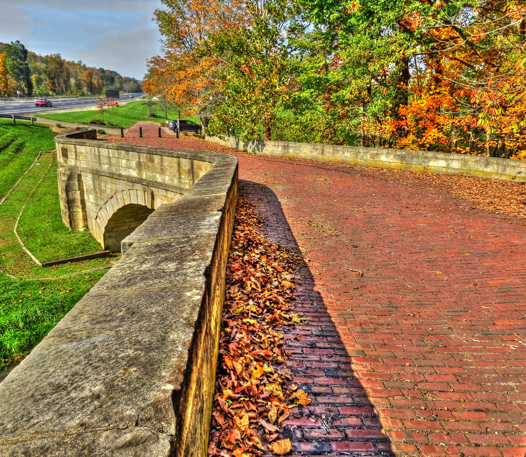
Fox Creek S Bridge

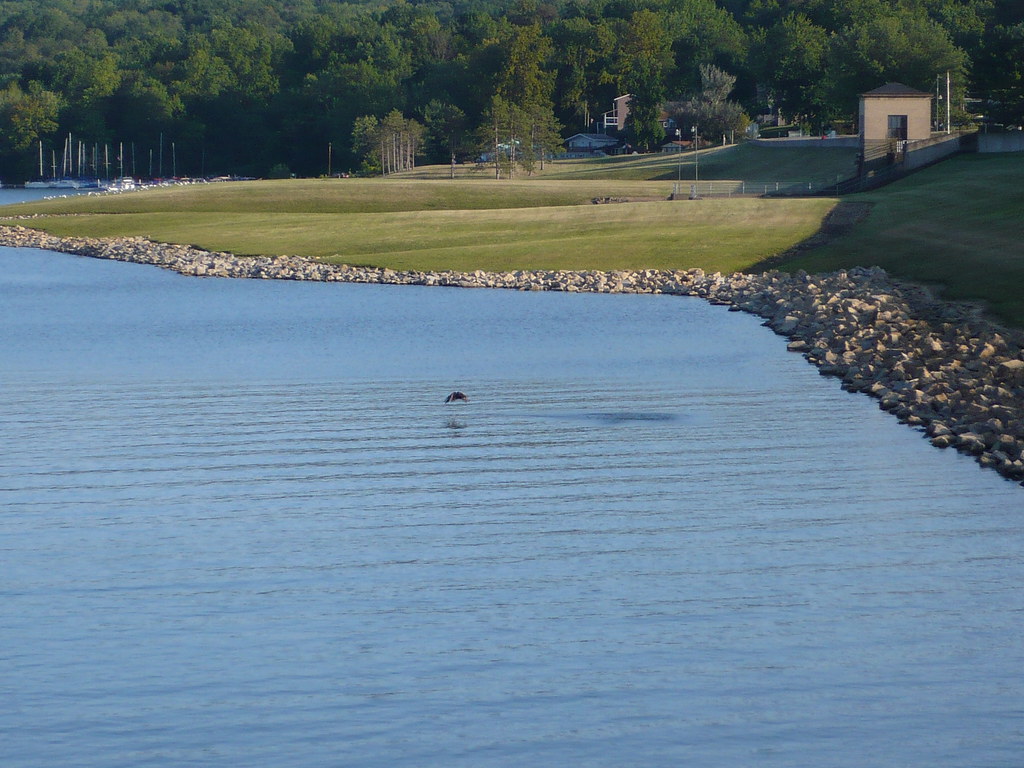
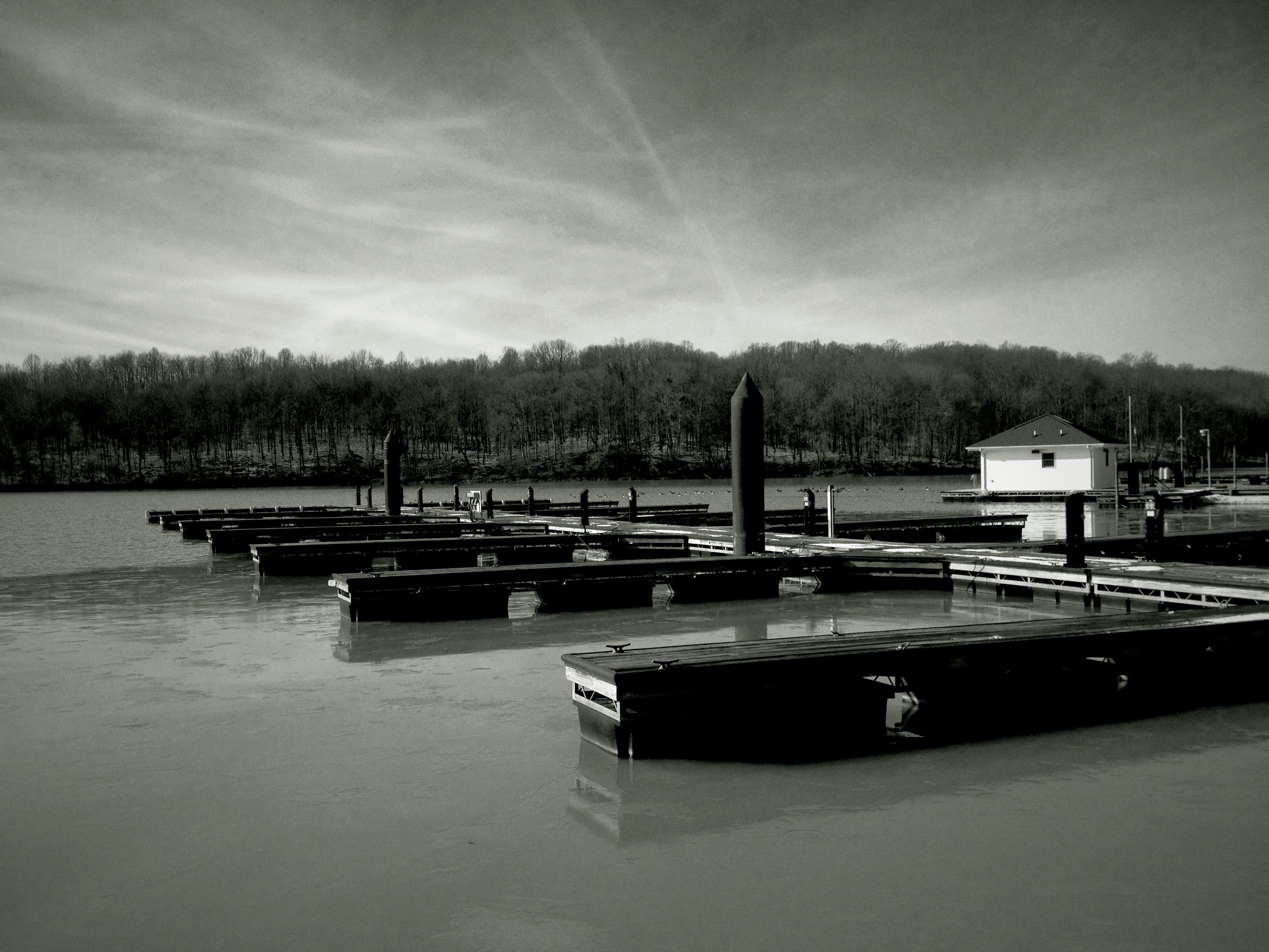
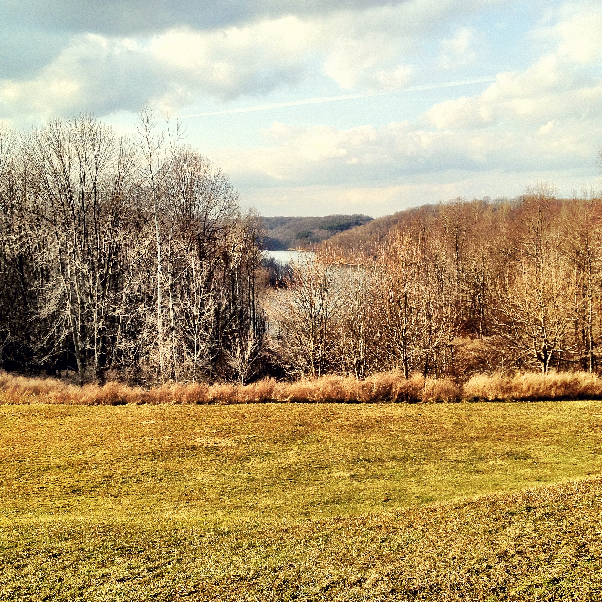
Cambridge Reservoir

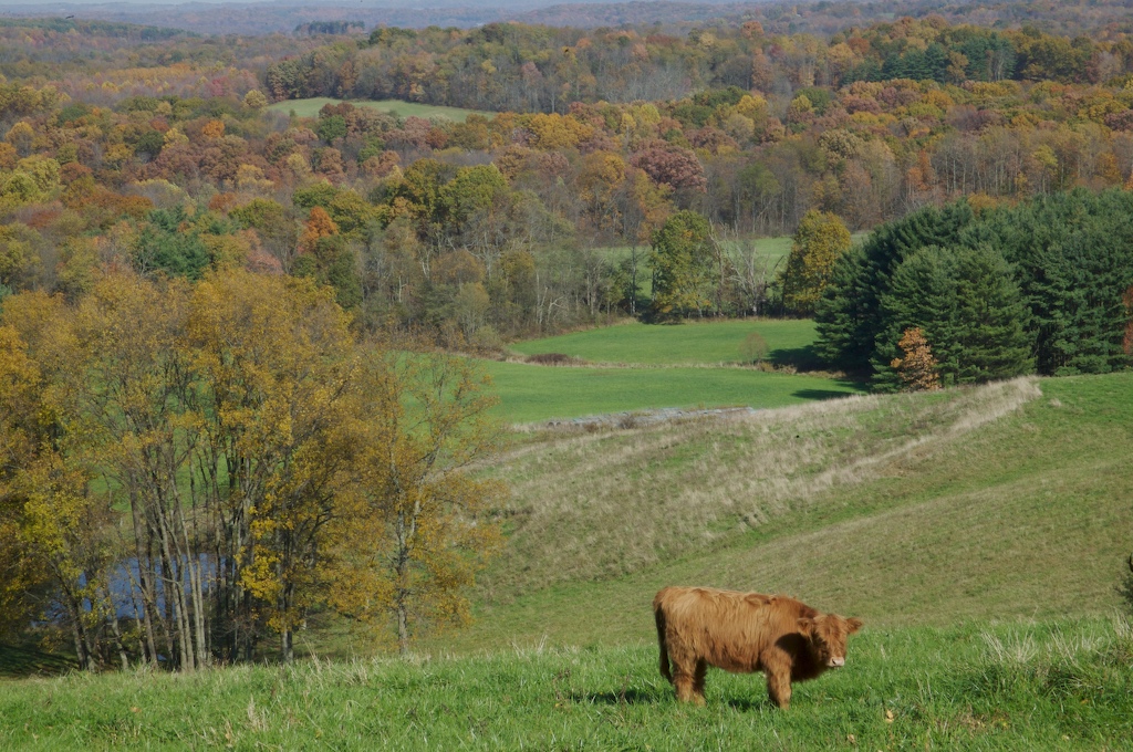
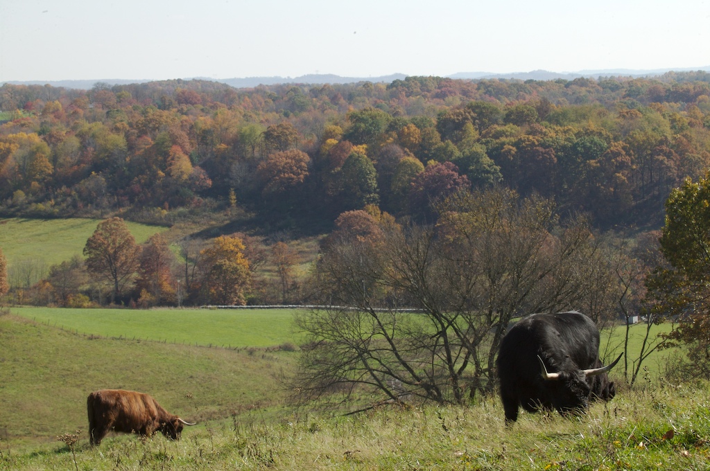
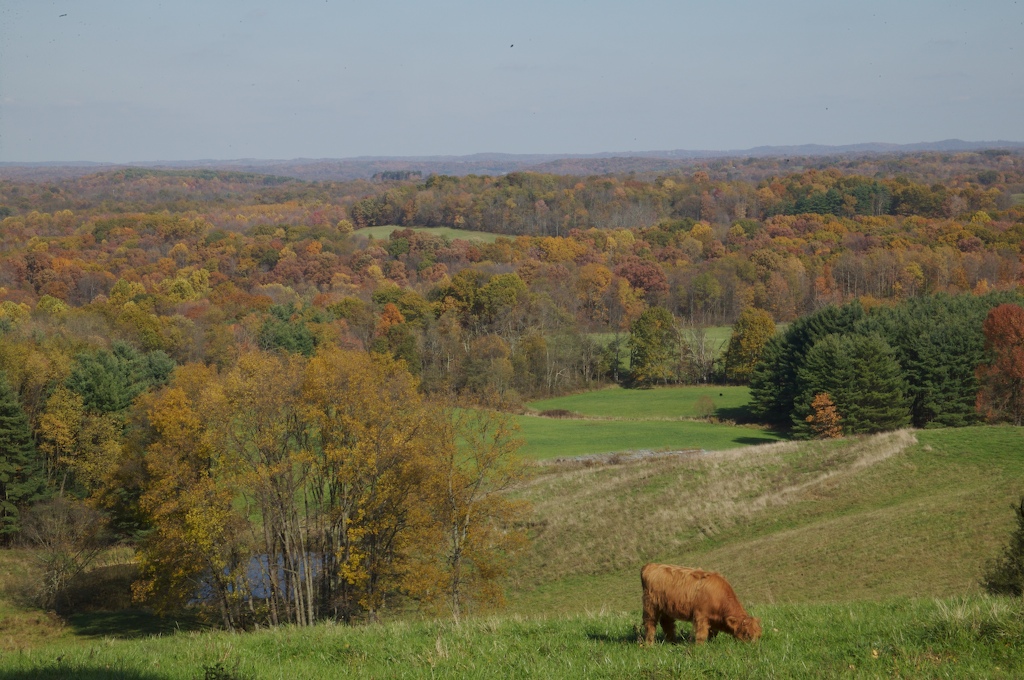
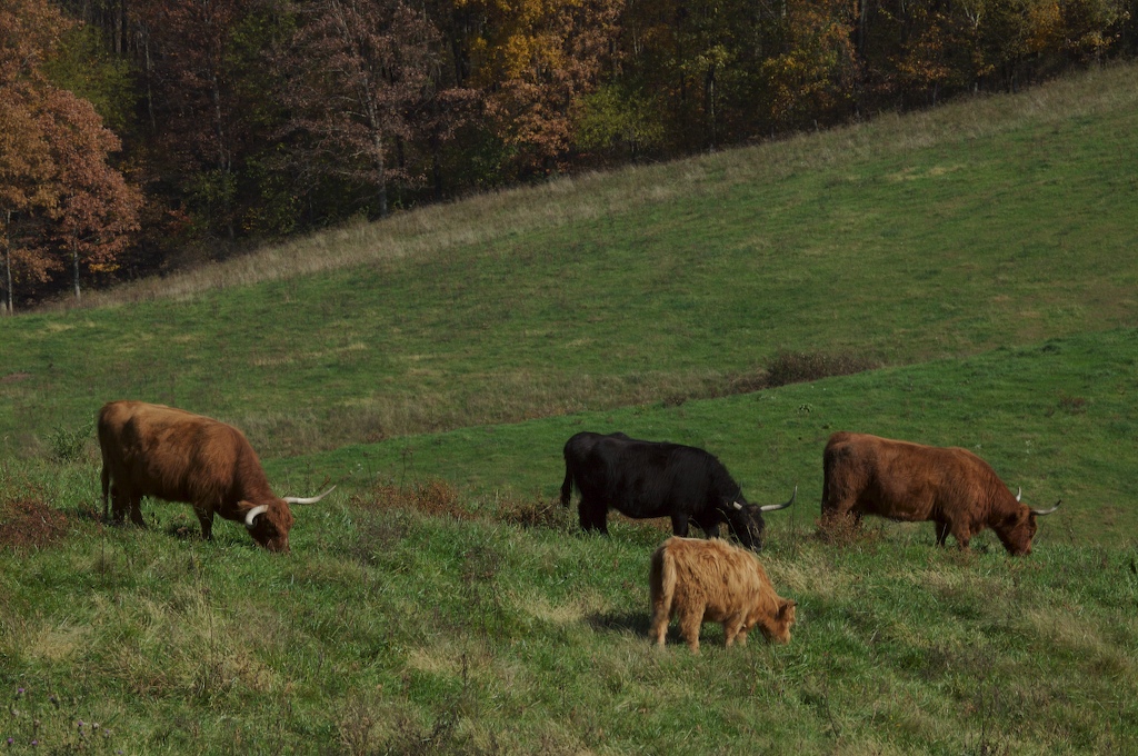
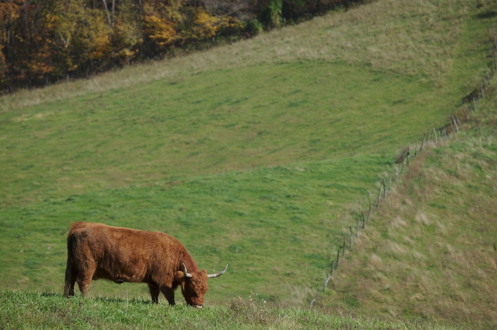
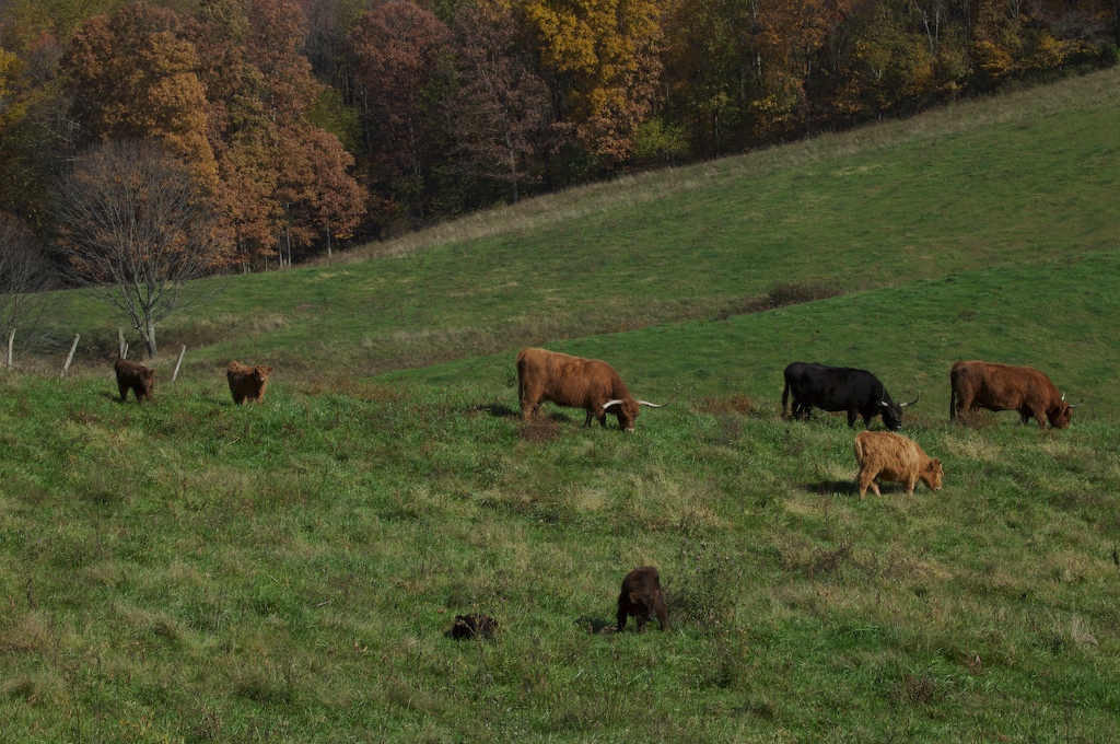
Pegasus Farm 2015
Fox Creek "S" Bridge, 1828

Tuscarawas River

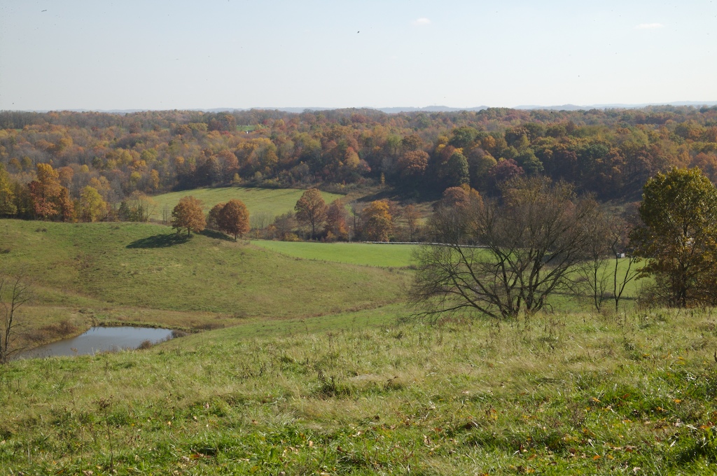
West View

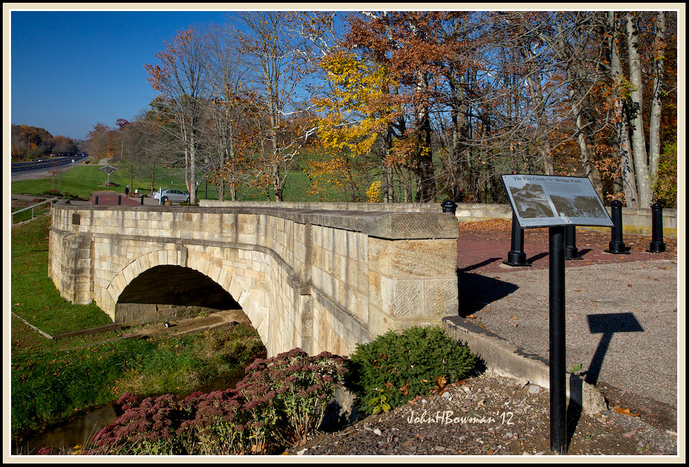
Fox Creek "S" Bridge & Park Sign
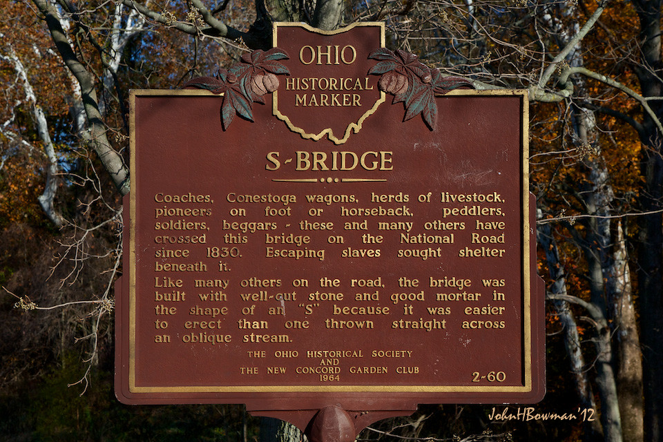
Fox Creek "S" Bridge Historical Marker
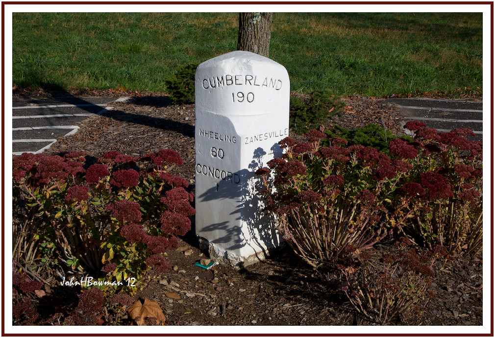
National Road Milepost Marker
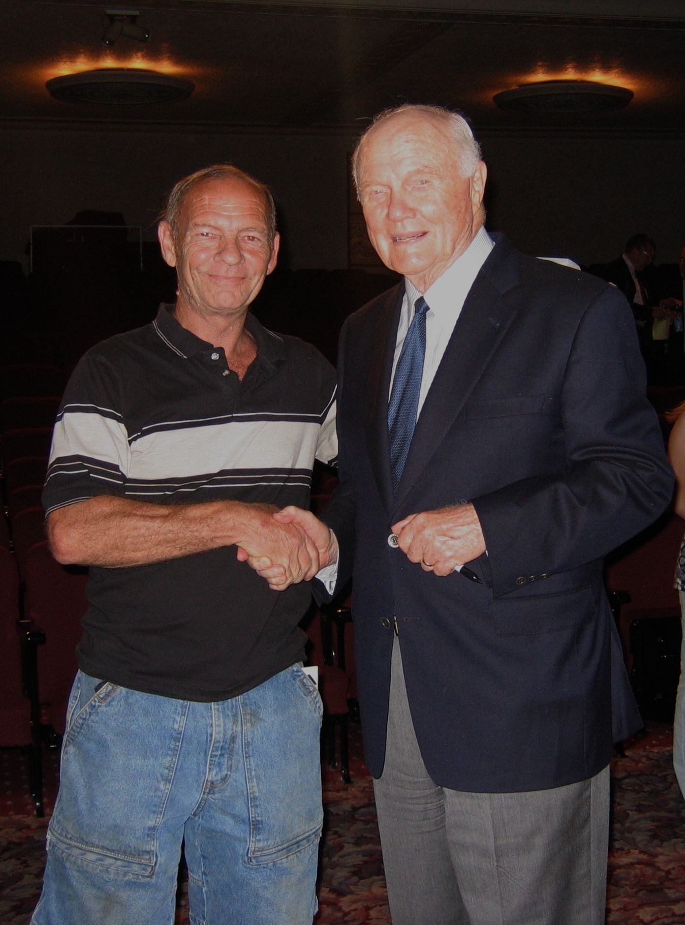
John Glenn & Mick
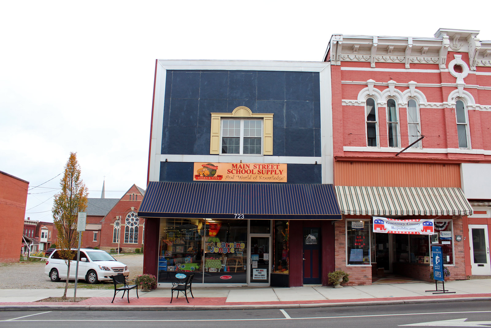
Main Street School Supply

Northwest View
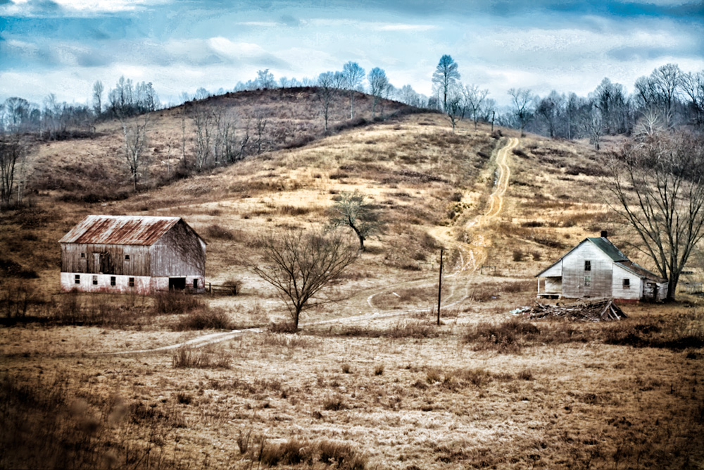
Endley/Pike Farmhouse, Craig, Ohio
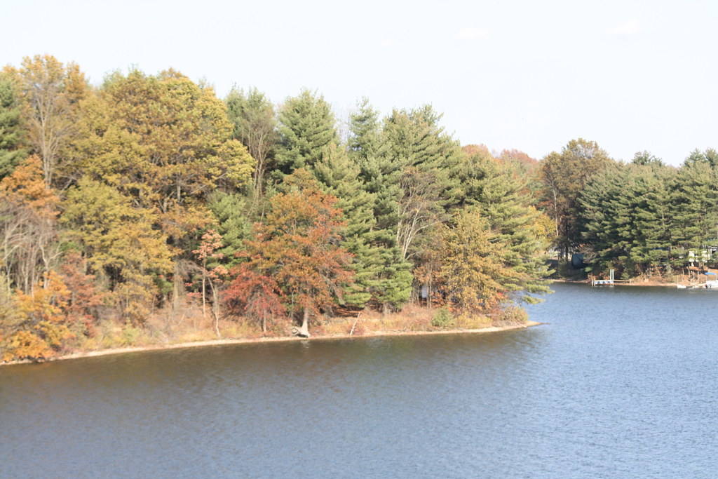
Autumn Views of Seneca Lake
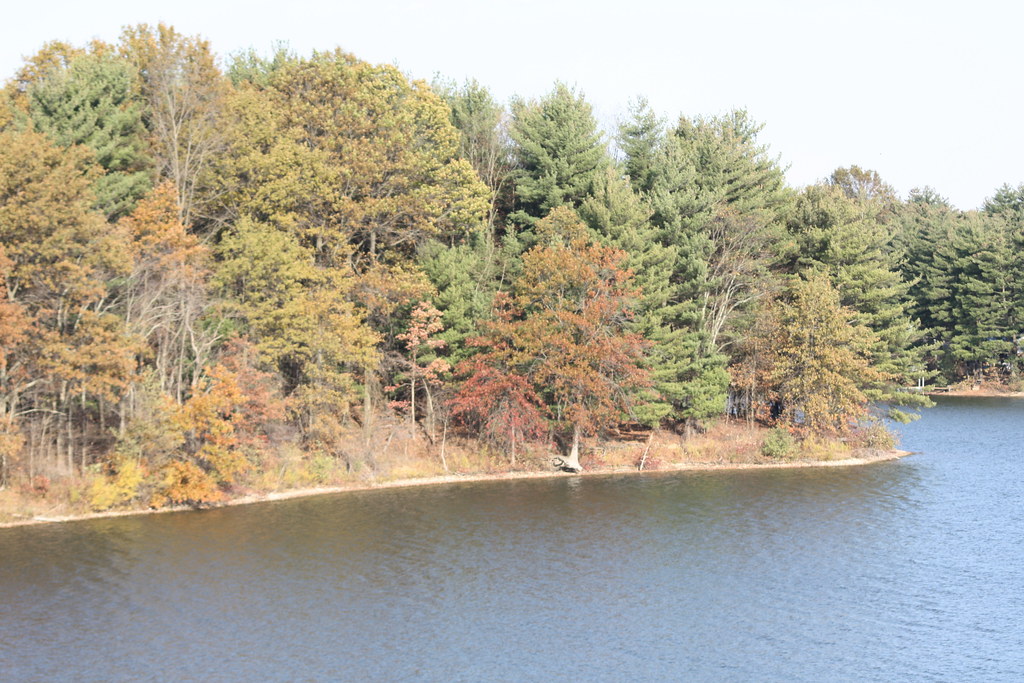
Autumn Views of Seneca Lake
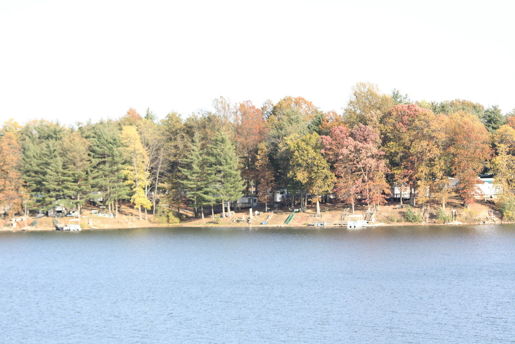
Autumn Views of Seneca Lake
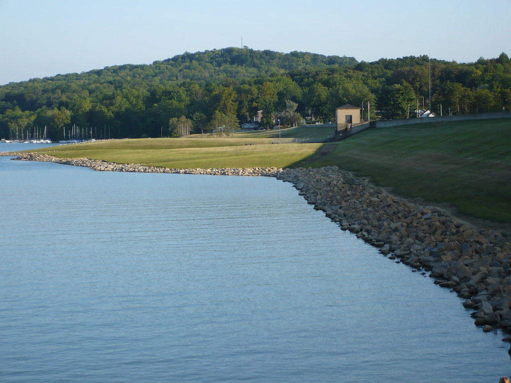
Seneca Lake Ohio

Autumn Views of Seneca Lake
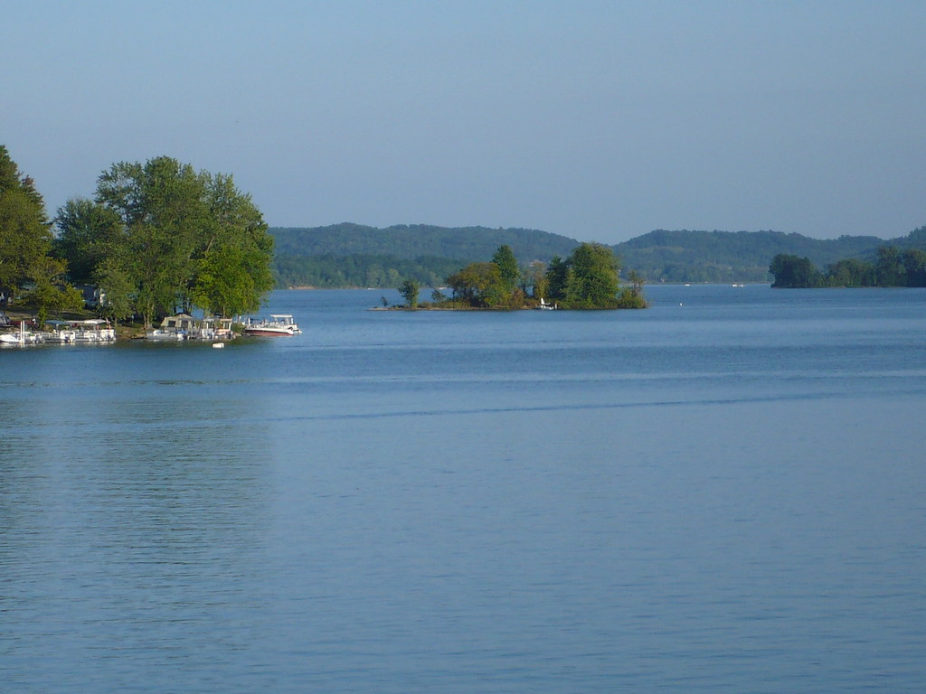
Seneca Lake Ohio

Northeast View
Seneca Lake Ohio
Dance for me

Cambridge Reservoir

mmf2_8.jpg
mmf_11.jpg
mmf_15.jpg
Docking points memo
mmf_13.jpg

Ohio sunset last night

Ohio sunset last night
mmf_7.jpg
mmf_5.jpg

mmf_2.jpg
mmf_12.jpg
mmf_8.jpg
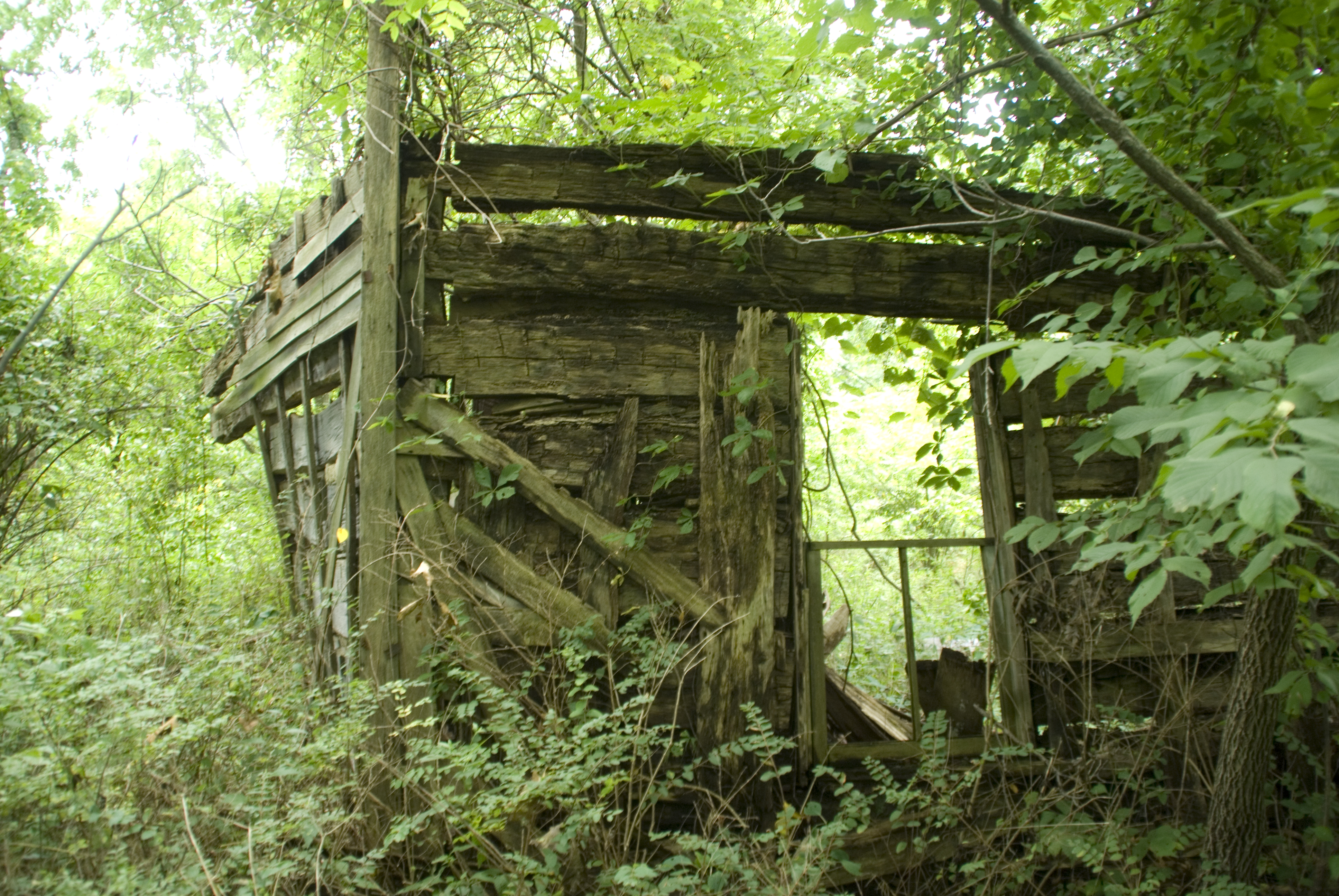
Log House
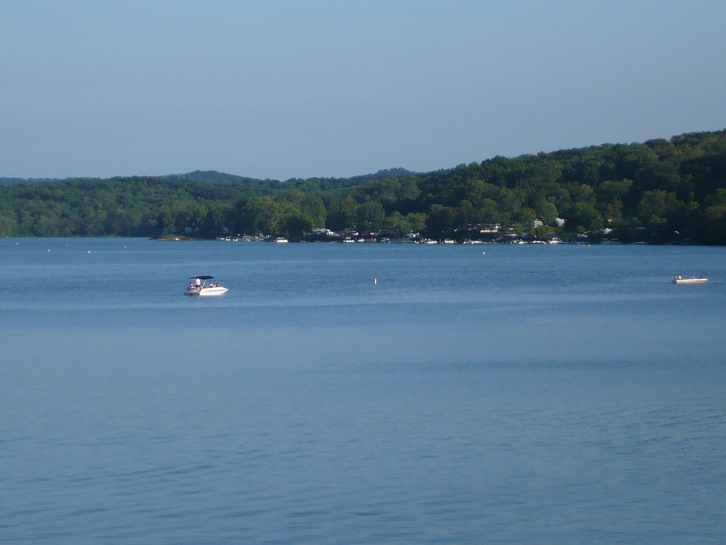
Seneca Lake Ohio
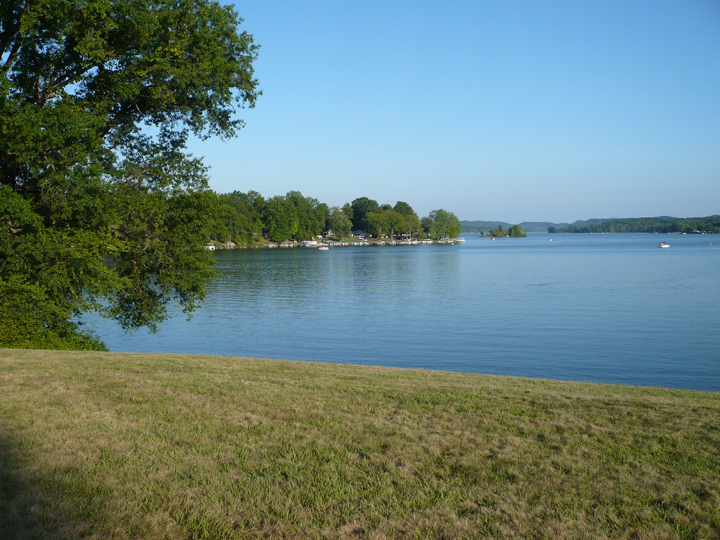
Seneca Lake Ohio
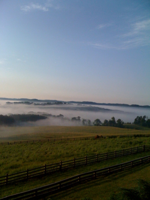
Just a little after sunrise...
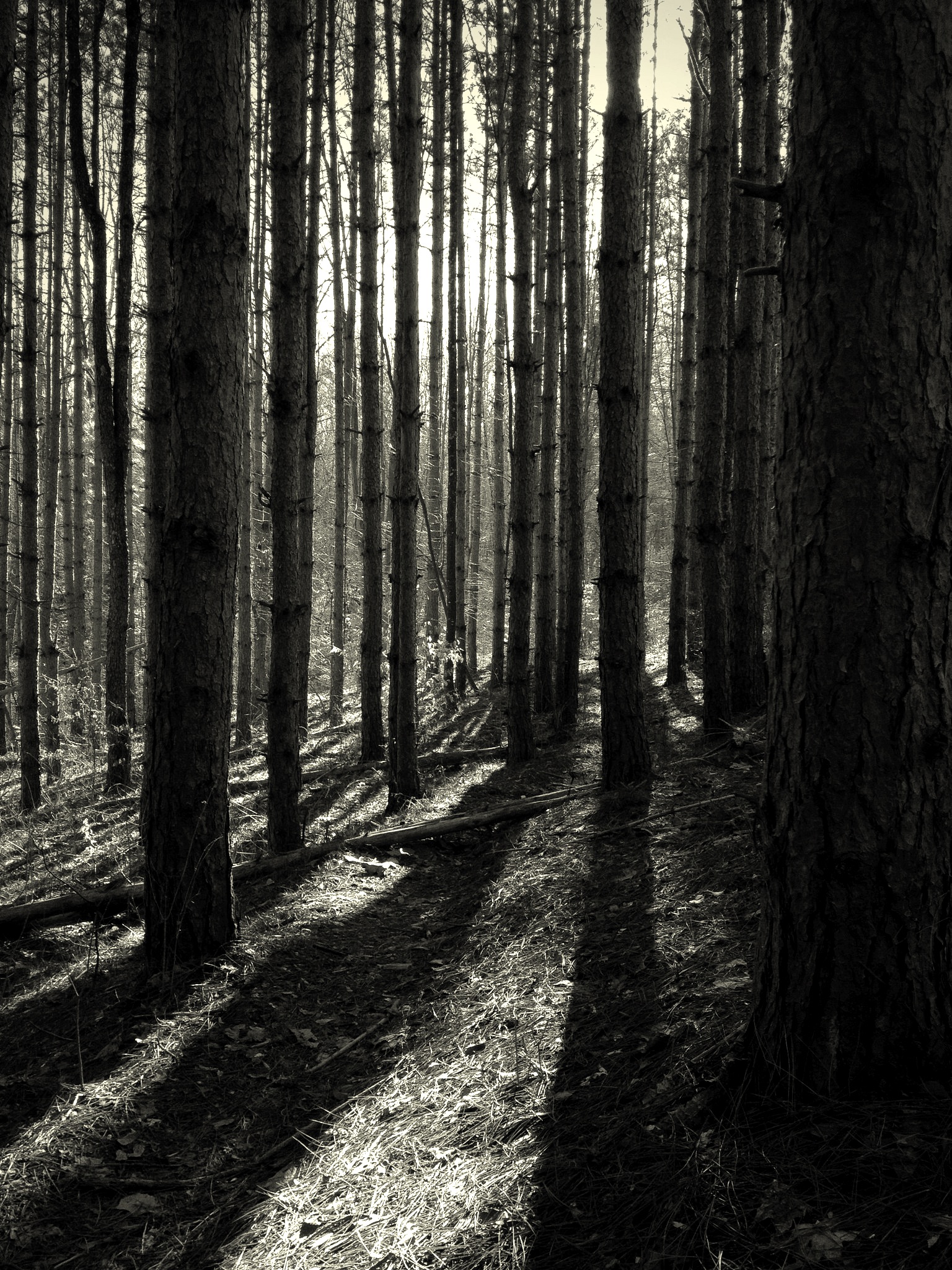
Salt Fork State Park, Ohio
Topographic Map of Jackson Township, OH, USA
Find elevation by address:

Places in Jackson Township, OH, USA:
Places near Jackson Township, OH, USA:
Southgate Rd, Cambridge, OH, USA
9 Georgetown Rd, Cambridge, OH, USA
Brick Church Rd, Cambridge, OH, USA
Cambridge Township
Valley Township
Cambridge
805 N 12th St
Skyline Dr, Cambridge, OH, USA
Adams Township
Summit Rd, New Concord, OH, USA
Spencer Township
Cumberland
Warner Rd, Cambridge, OH, USA
Liberty Township
1 E Main St, New Concord, OH, USA
Wargo Rd, Caldwell, OH, USA
Knox Township
Kimbolton
Plainfield Rd, Kimbolton, OH, USA
Rix Mills Rd, New Concord, OH, USA
Recent Searches:
- Elevation of Elwyn Dr, Roanoke Rapids, NC, USA
- Elevation of Congressional Dr, Stevensville, MD, USA
- Elevation of Bellview Rd, McLean, VA, USA
- Elevation of Stage Island Rd, Chatham, MA, USA
- Elevation of Shibuya Scramble Crossing, 21 Udagawacho, Shibuya City, Tokyo -, Japan
- Elevation of Jadagoniai, Kaunas District Municipality, Lithuania
- Elevation of Pagonija rock, Kranto 7-oji g. 8"N, Kaunas, Lithuania
- Elevation of Co Rd 87, Jamestown, CO, USA
- Elevation of Tenjo, Cundinamarca, Colombia
- Elevation of Côte-des-Neiges, Montreal, QC H4A 3J6, Canada