Elevation of Rich Hill Township, OH, USA
Location: United States > Ohio > Muskingum County >
Longitude: -81.756825
Latitude: 39.8727173
Elevation: 328m / 1076feet
Barometric Pressure: 97KPa
Elevation Map:
Satellite Map:
Related Photos:
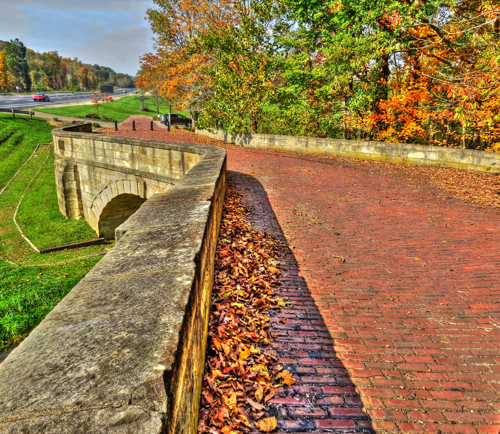
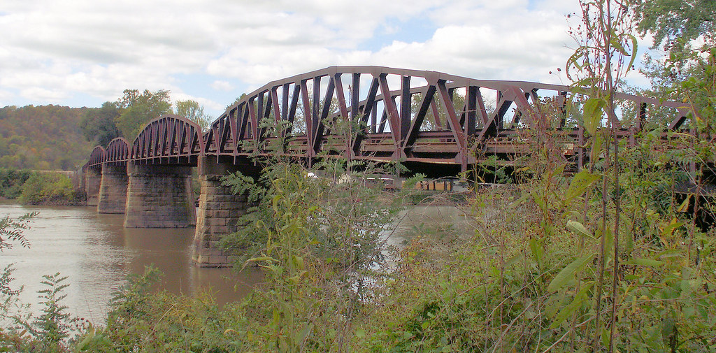
Fox Creek S Bridge
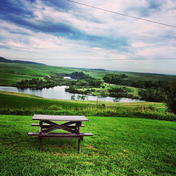
Overlook View
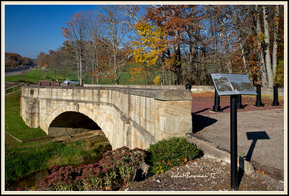
Fox Creek "S" Bridge, 1828
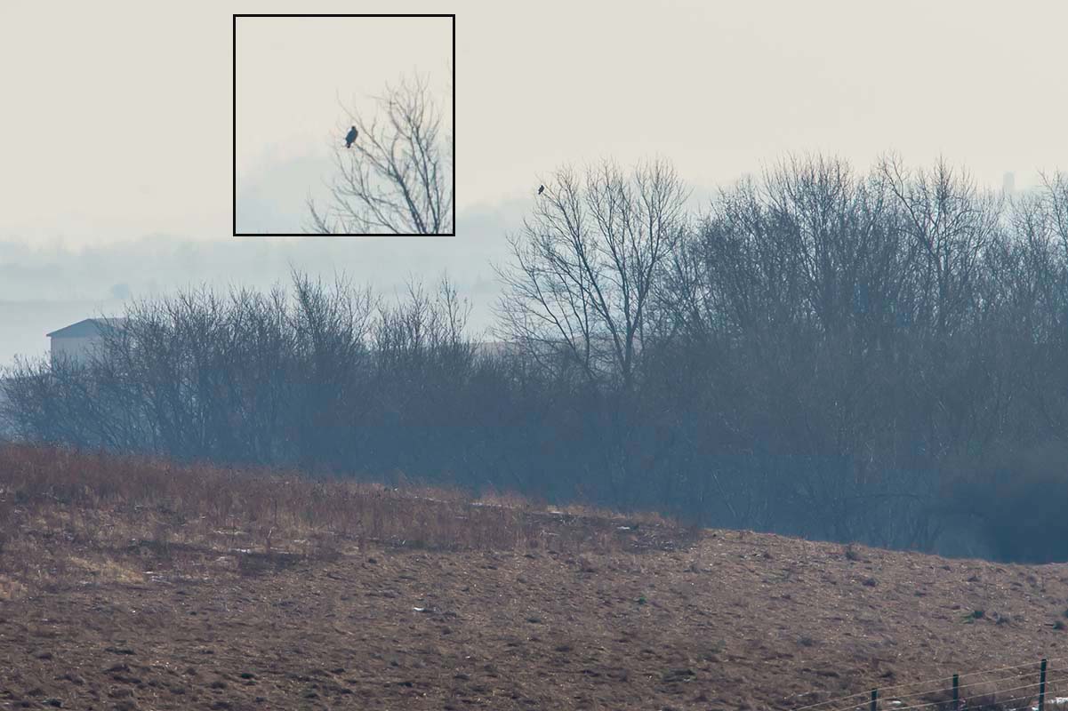
GOLDEN EAGLE
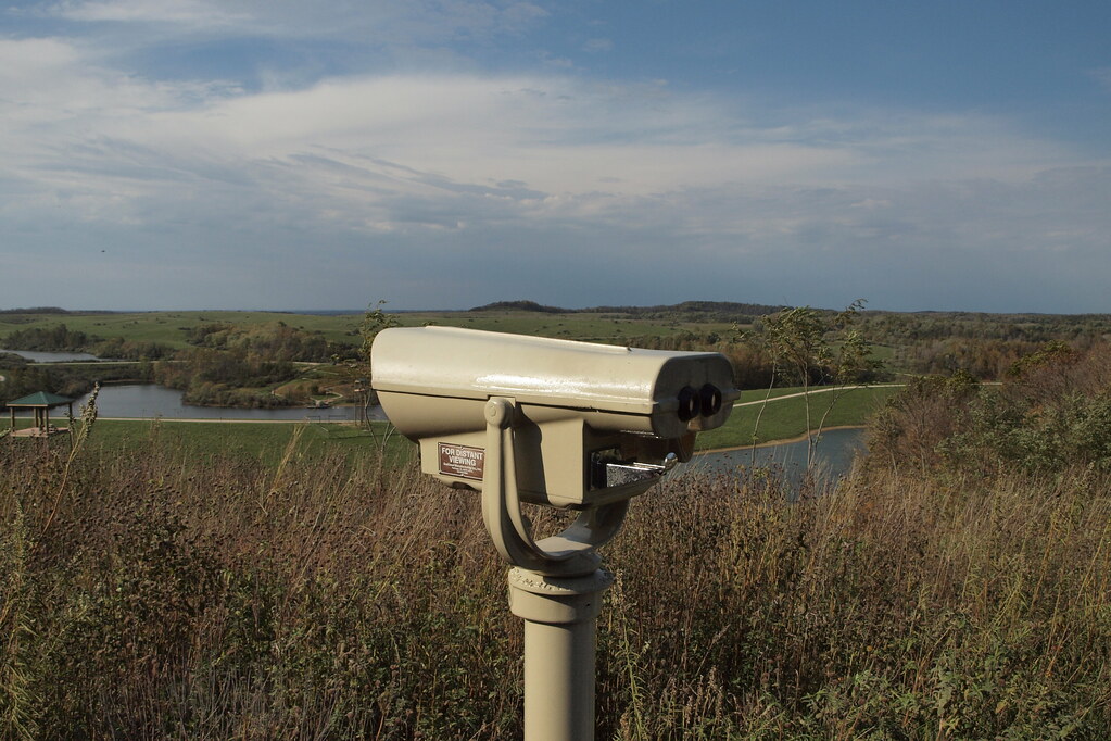
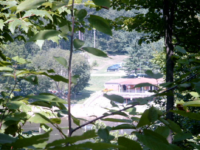
For Distant Viewing
Dinner with a view
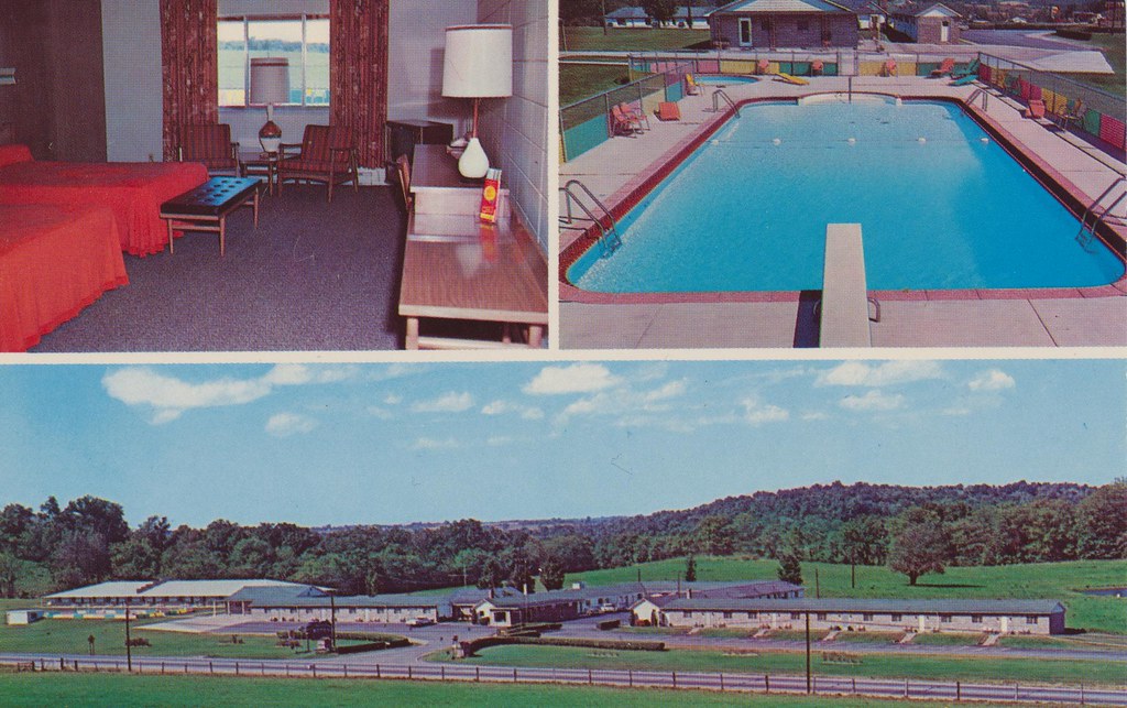
Baker's Motel - Norwich, Ohio

Fox Creek "S" Bridge & Park Sign

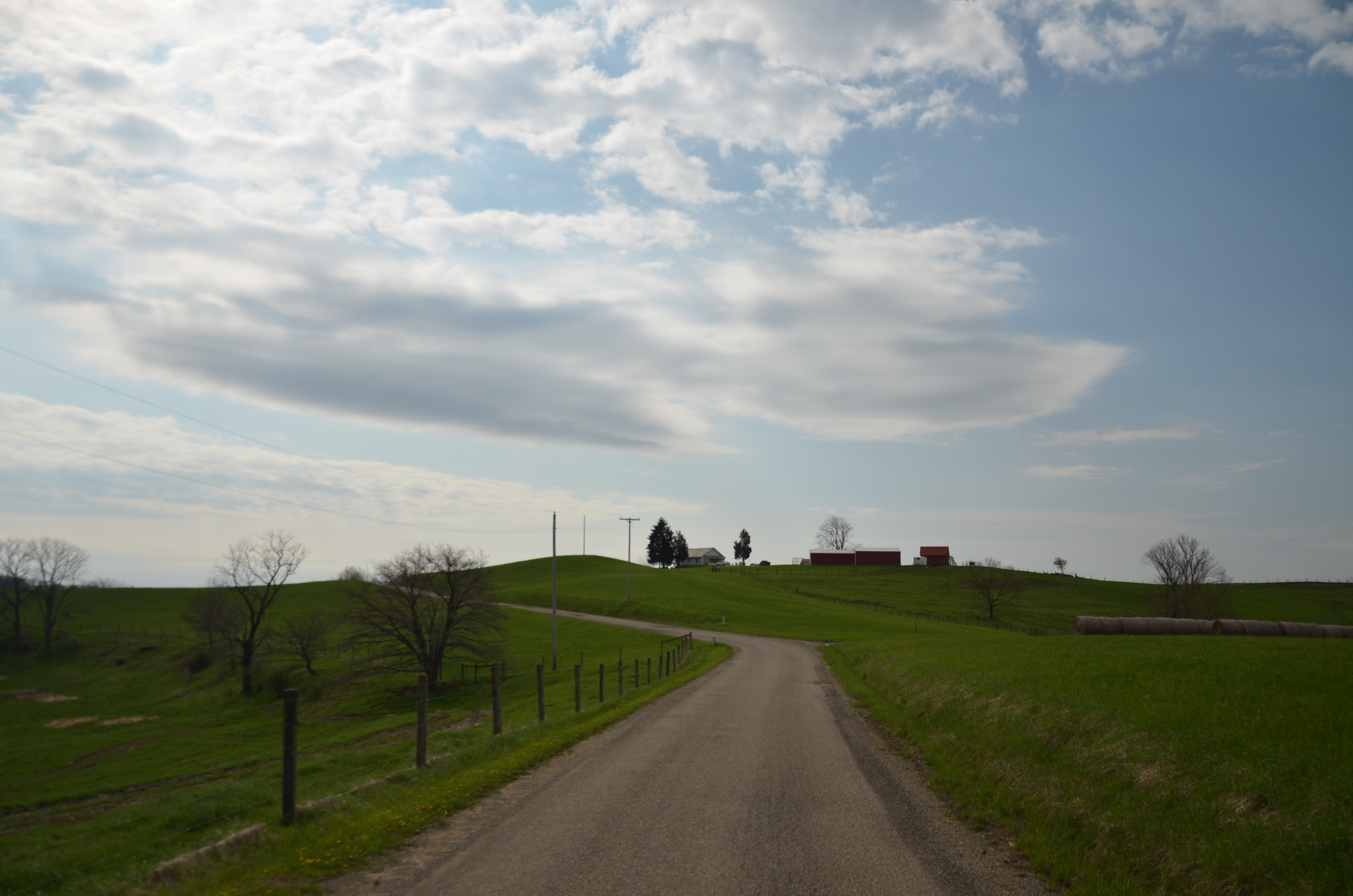
West View
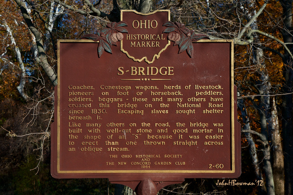
Fox Creek "S" Bridge Historical Marker
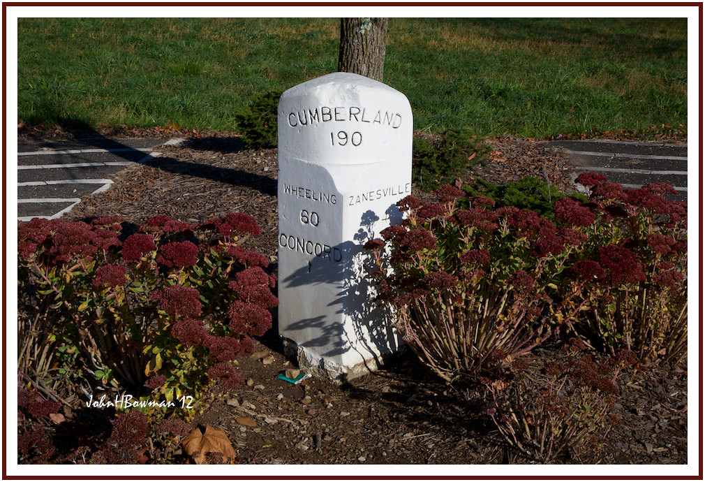
National Road Milepost Marker
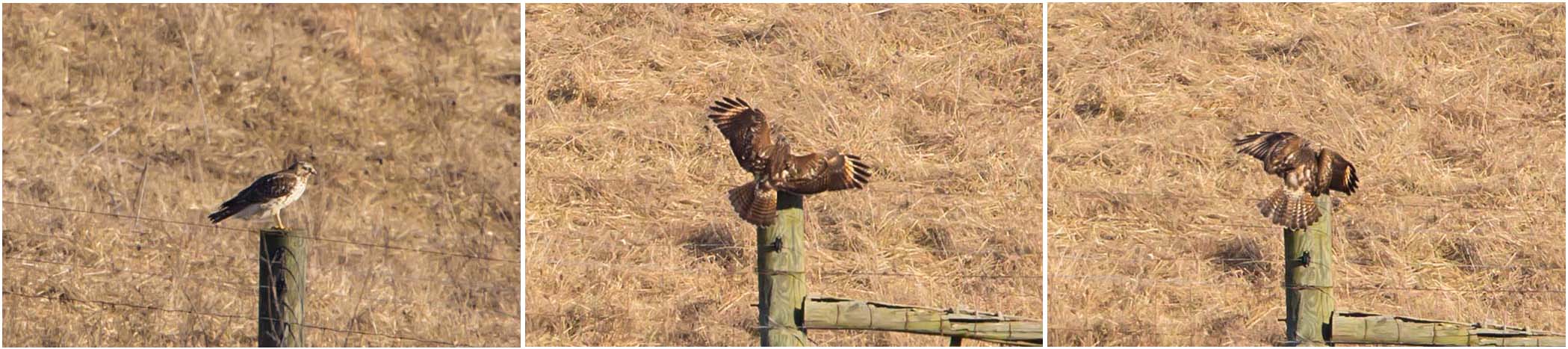
RED-SHOULDERED HAWK
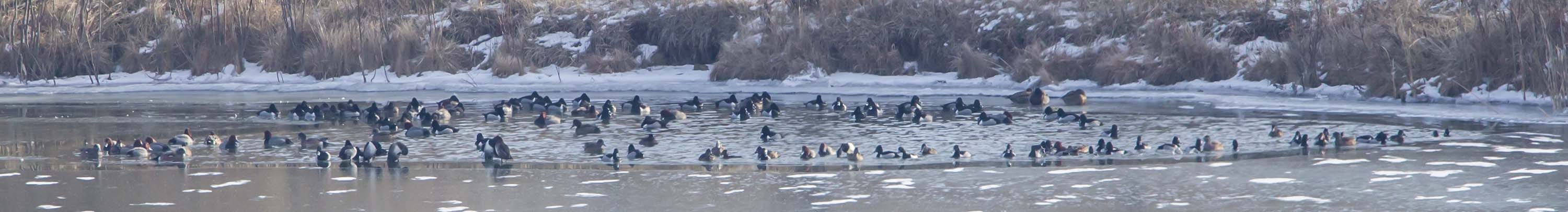
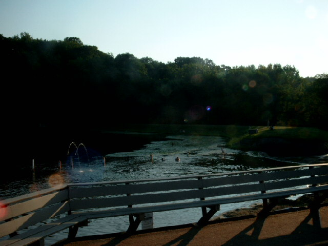
REDHEADS, RING-NECKED DUCKS, & AMERICAN WIGEONS
Gaysport Bridge
Lake View
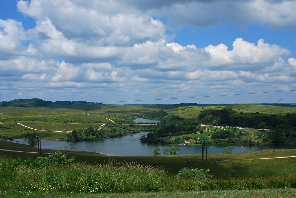
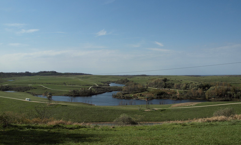
Muskingum River valley

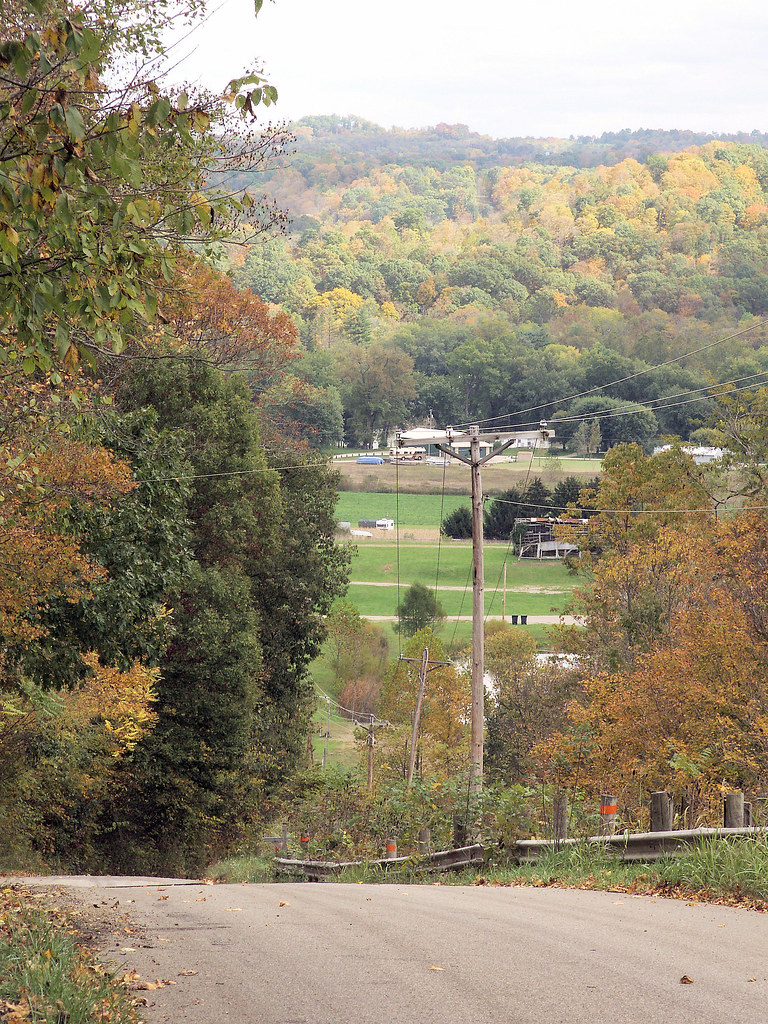
Northwest View
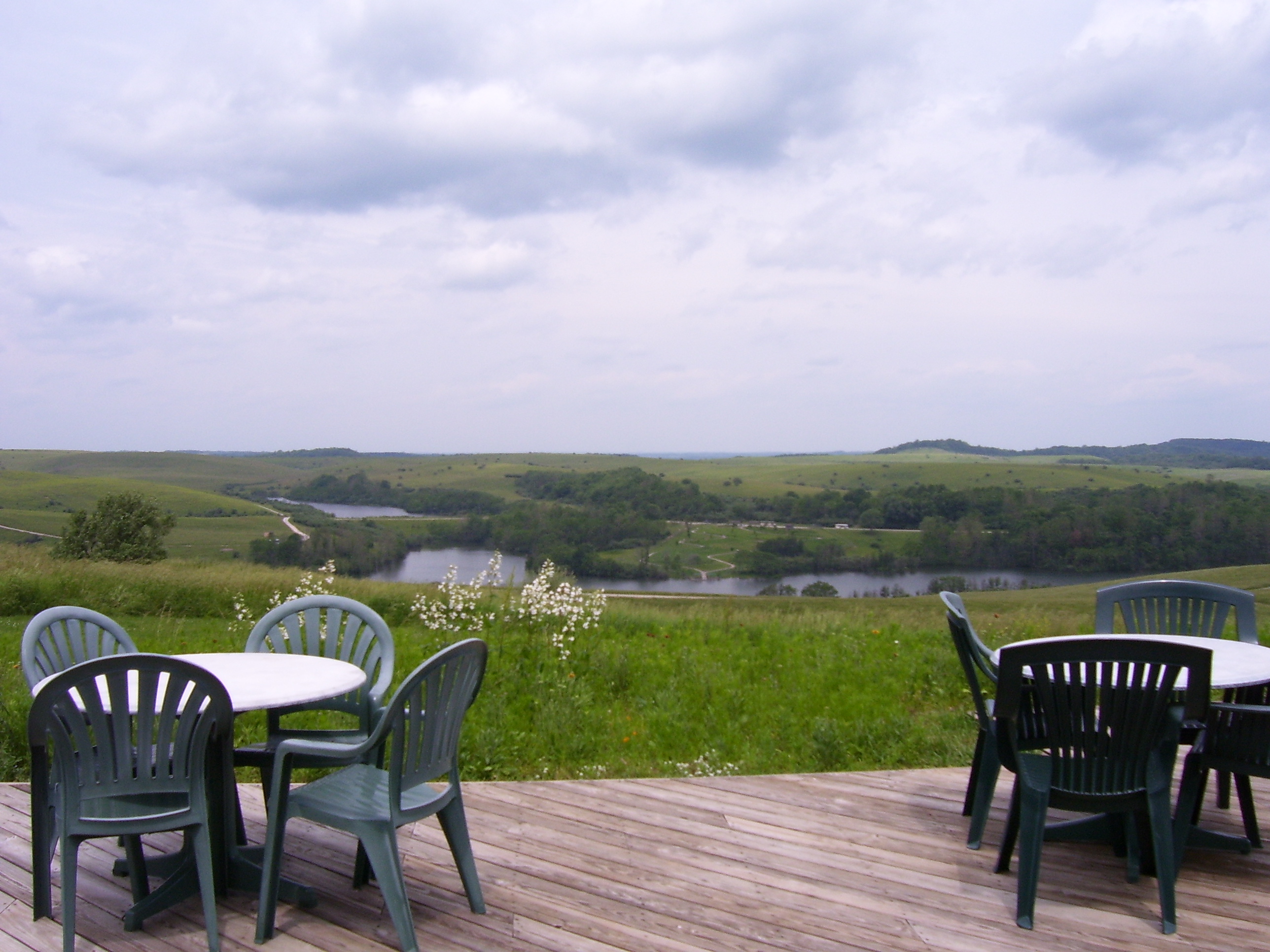
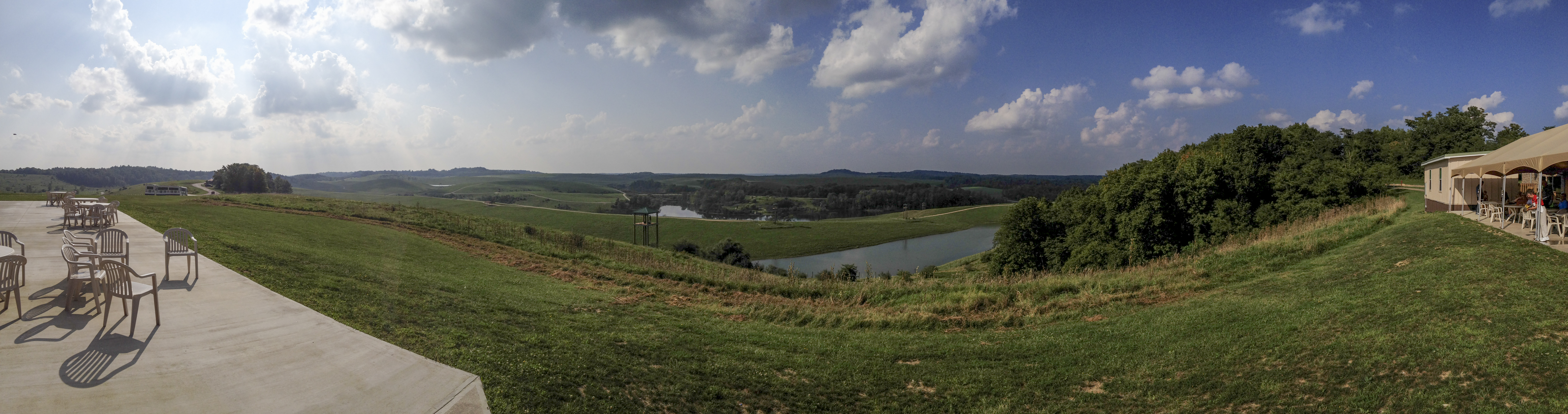
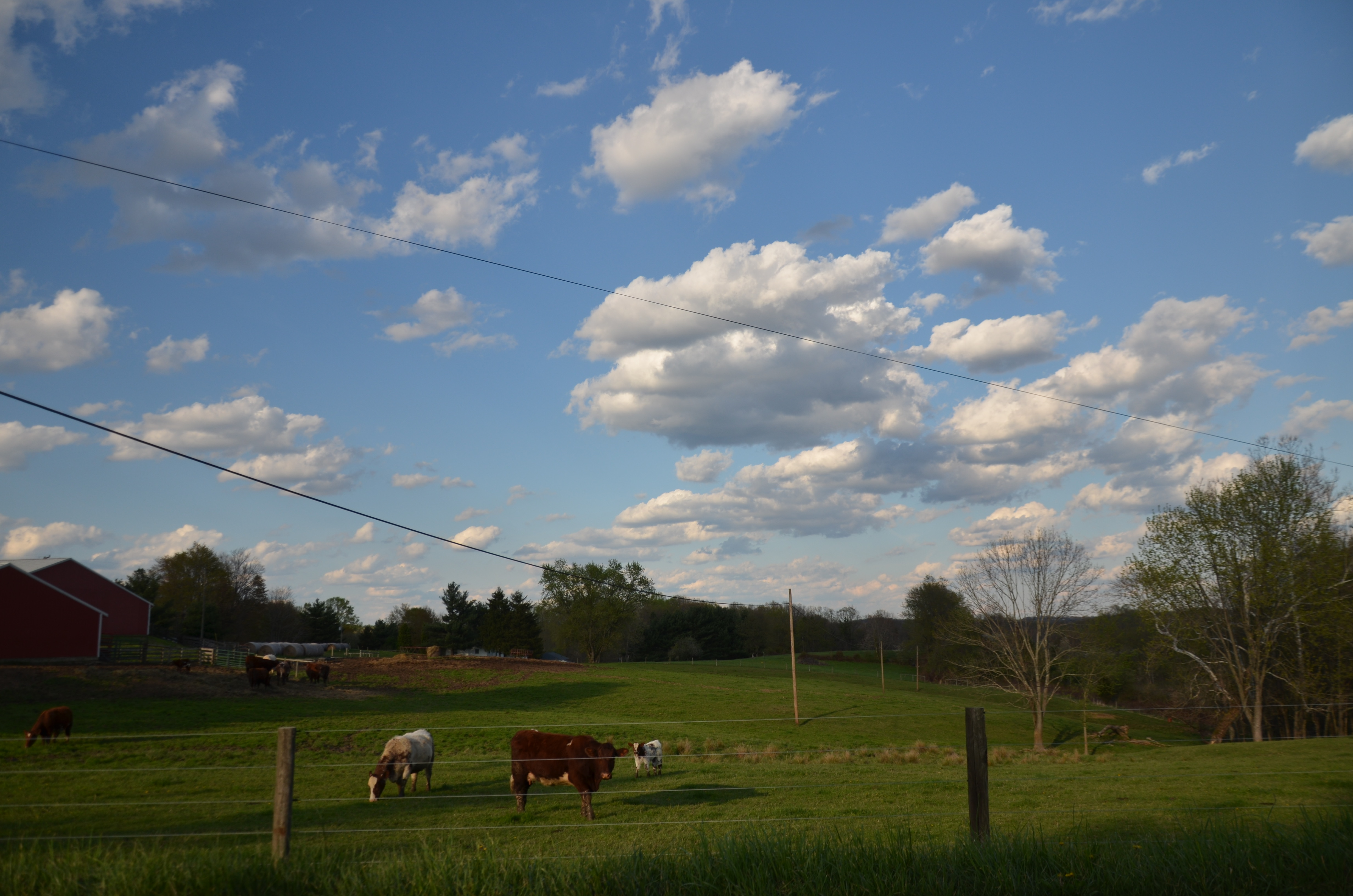
The view from the overlook where we had lunch
VIEWING RAPTORS AT THE WILDS
The Wilds
Camp Store

Mother and foal. #babyanimals #TheWilds #Conservation #Wildlife #nature #lake #sunset

team rhino
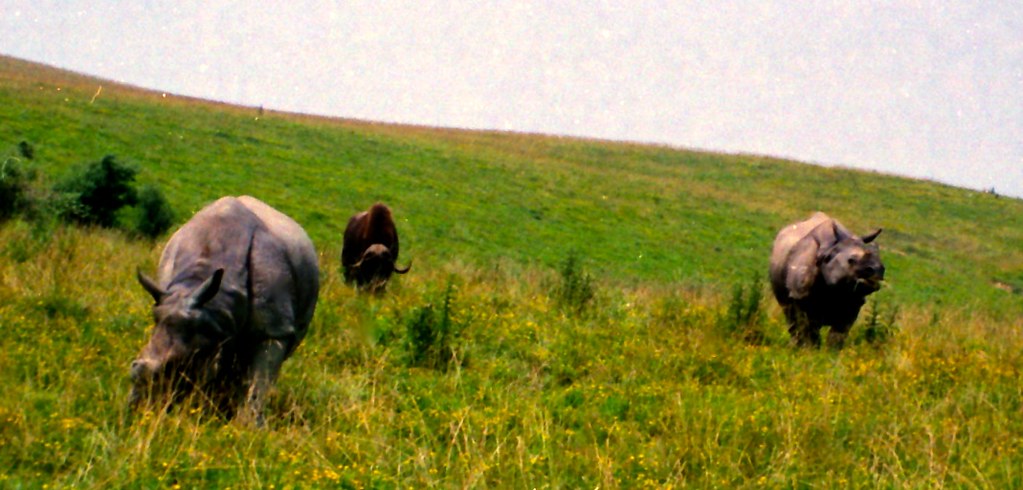
TrackHead Studios - Rhino Dinnertime

The Wilds

The Wilds

The Wilds

The Wilds
Zanesville OH 184

Zanesville OH 152
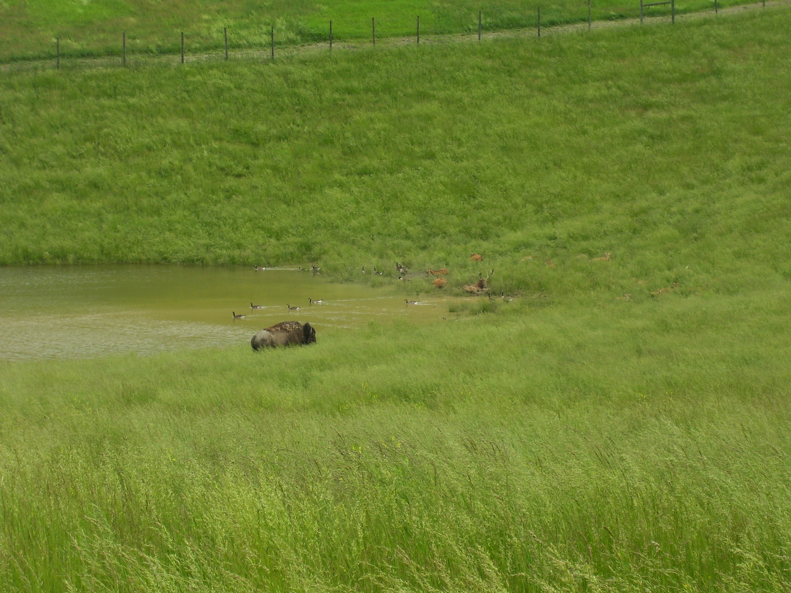
A bison hanging out in a pond with some geese and some sort of deer
Going ziplining!!!!

The Wilds
06 Nov. 2011. Near Zanesville, OH. Brown Fields, Exit 160 off I-70.

Blue Rock Ohio 154
Meigs-20121124-00015

Zanesville OH 165
Zanesville OH 150
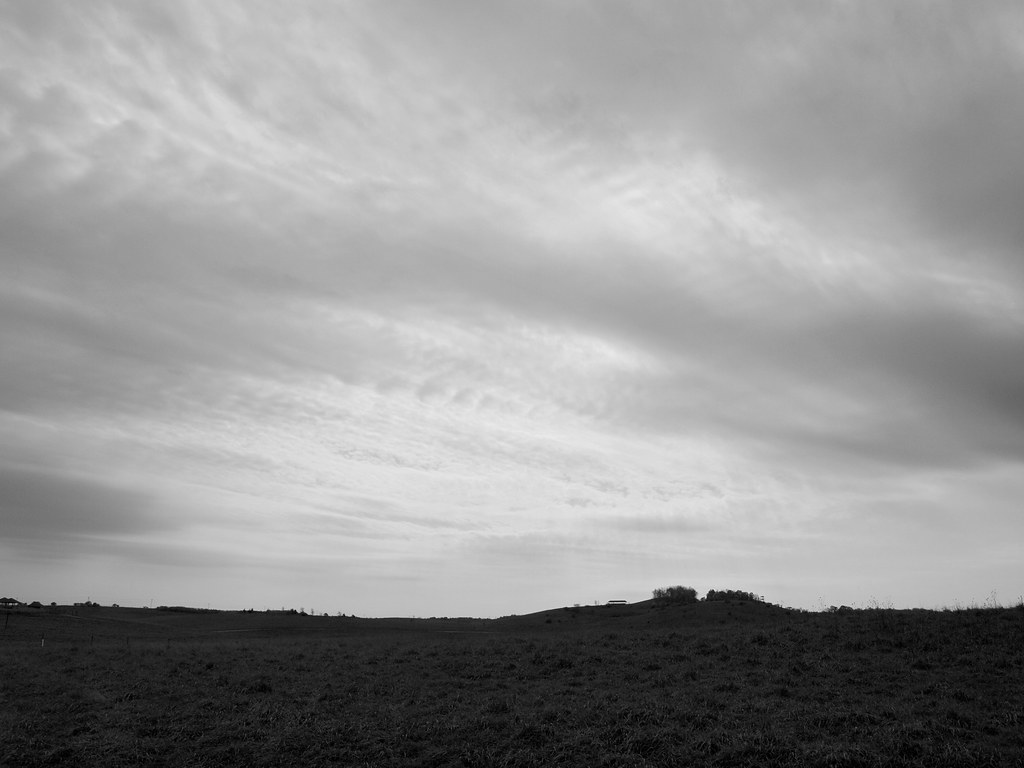
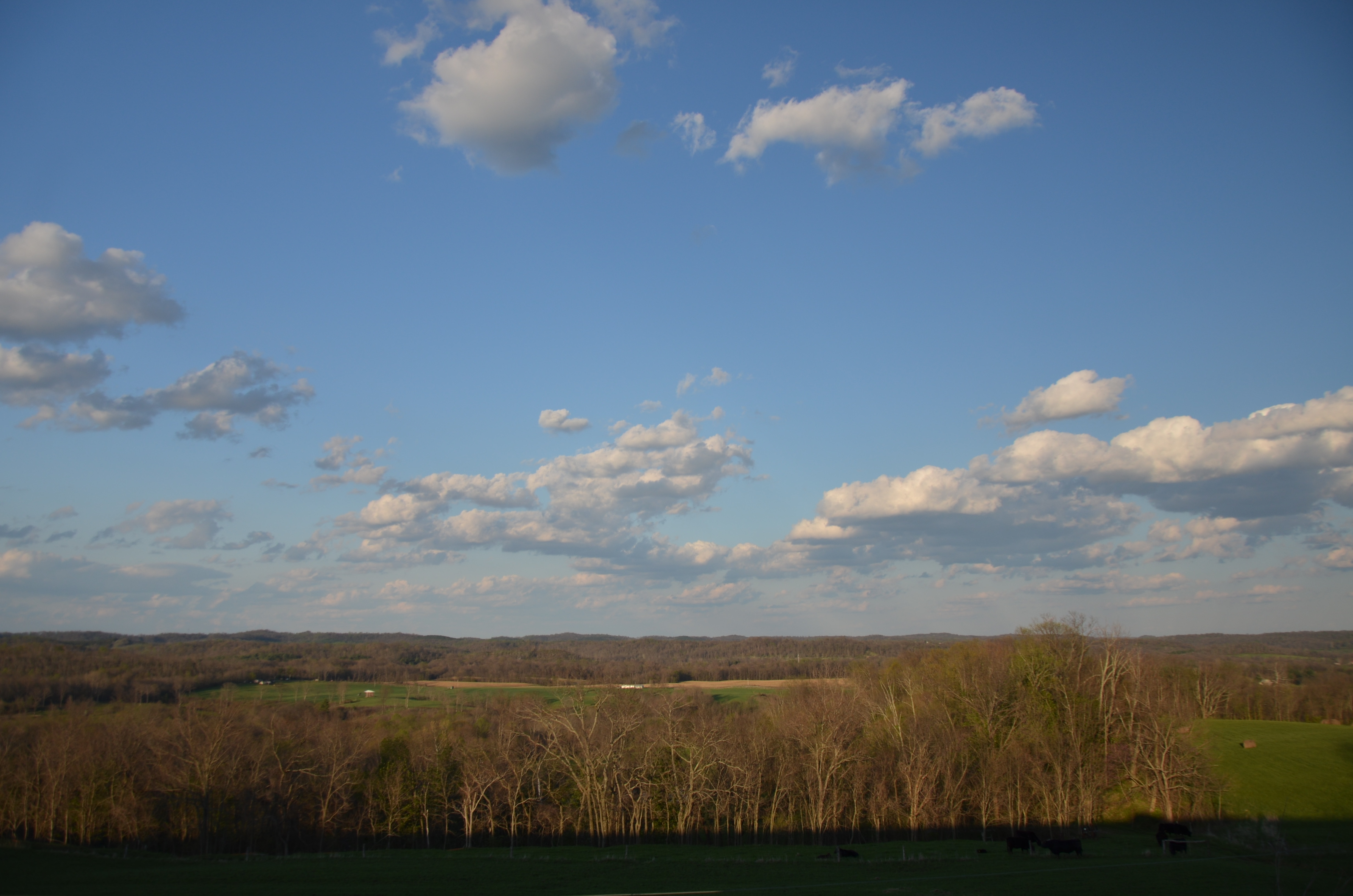
Cloudy Sky

The Wilds
Blue Rock Ohio 161
Topographic Map of Rich Hill Township, OH, USA
Find elevation by address:

Places in Rich Hill Township, OH, USA:
Places near Rich Hill Township, OH, USA:
Chandlersville Rd, Chandlersville, OH, USA
4250 Mcdonald Rd
Chandlersville
Meigs Township
Salt Creek Township
Spencer Township
McDonald Rd, Chandlersville, OH, USA
9898 F B Eye Rd
Cumberland
Rayner's Gun Shop & Shooting Range
8255 Pyle Ln
Blue Rock Township
Philo
Front St, Philo, OH, USA
Gaysport
Duncan Falls
Main St, Duncan Falls, OH, USA
Blue Rock
Wargo Rd, Caldwell, OH, USA
14555 Serdy Rd
Recent Searches:
- Elevation of Corso Fratelli Cairoli, 35, Macerata MC, Italy
- Elevation of Tallevast Rd, Sarasota, FL, USA
- Elevation of 4th St E, Sonoma, CA, USA
- Elevation of Black Hollow Rd, Pennsdale, PA, USA
- Elevation of Oakland Ave, Williamsport, PA, USA
- Elevation of Pedrógão Grande, Portugal
- Elevation of Klee Dr, Martinsburg, WV, USA
- Elevation of Via Roma, Pieranica CR, Italy
- Elevation of Tavkvetili Mountain, Georgia
- Elevation of Hartfords Bluff Cir, Mt Pleasant, SC, USA