Elevation of Stroud Lake, Stroud, OK, USA
Location: United States > Oklahoma > Lincoln County > Stroud >
Longitude: -96.601031
Latitude: 35.8009166
Elevation: 262m / 860feet
Barometric Pressure: 98KPa
Elevation Map:
Satellite Map:
Related Photos:

Bel Air Nr. 1

Bel Air Nr. 2

Rock Cafe wall with goodies from Pixar

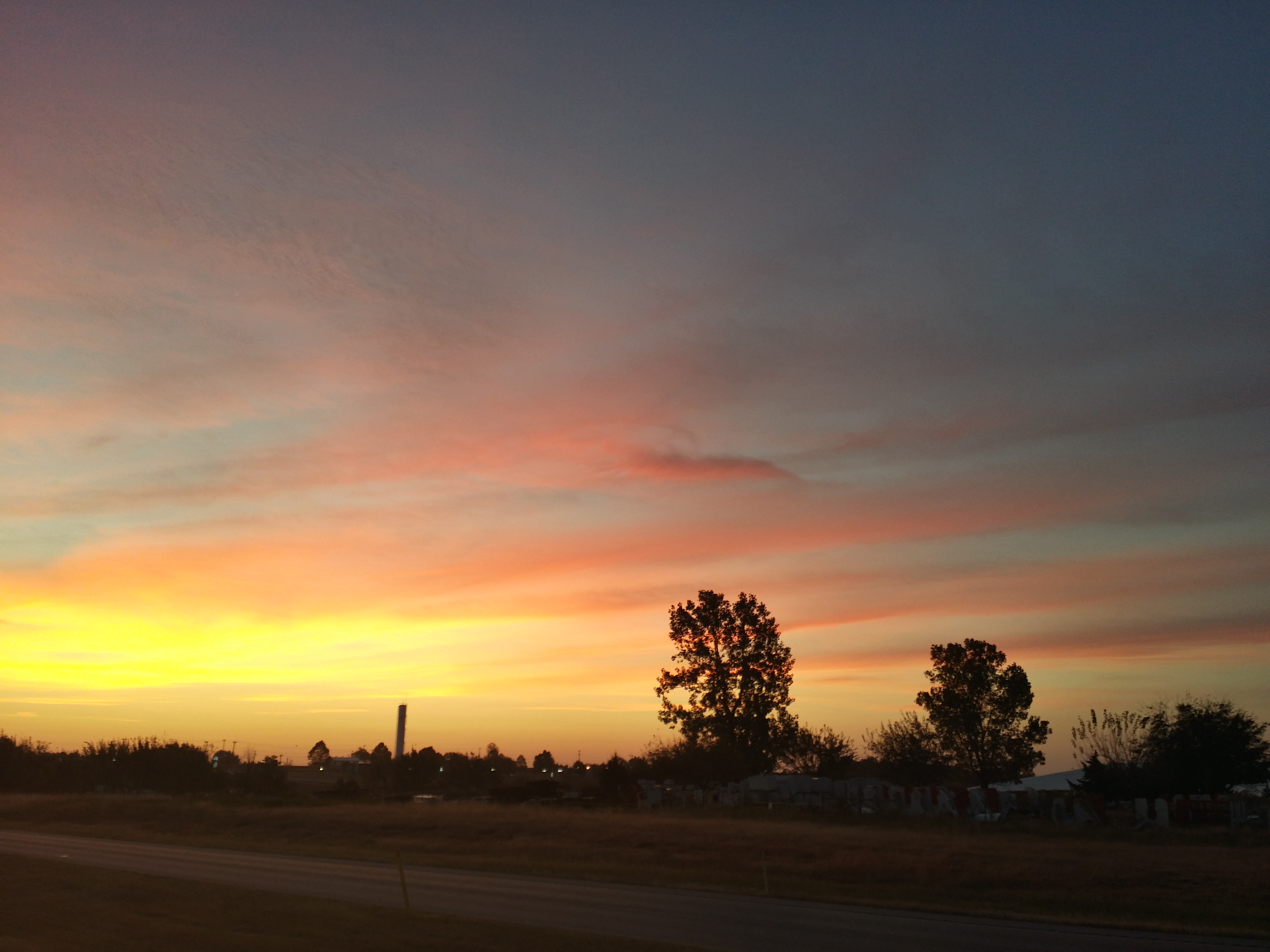
View from the pan

10-06-15 Day 18 - Route 66

Benjiman Hamon. My Great Great Great grandfather. #ancestry #relatives #history #oklahoma

old Rte 66 roadbed
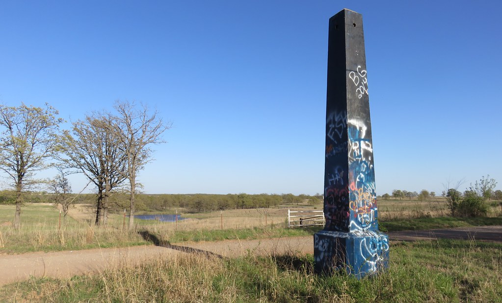
Old Ozark Trail Monument and Landscape (Stroud, Oklahoma)

Old Ozark Trail Monument and Landscape (Stroud, Oklahoma)
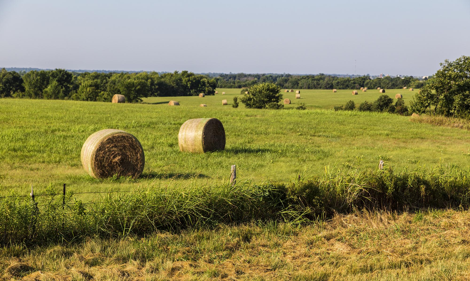
Lots of Hay Bales
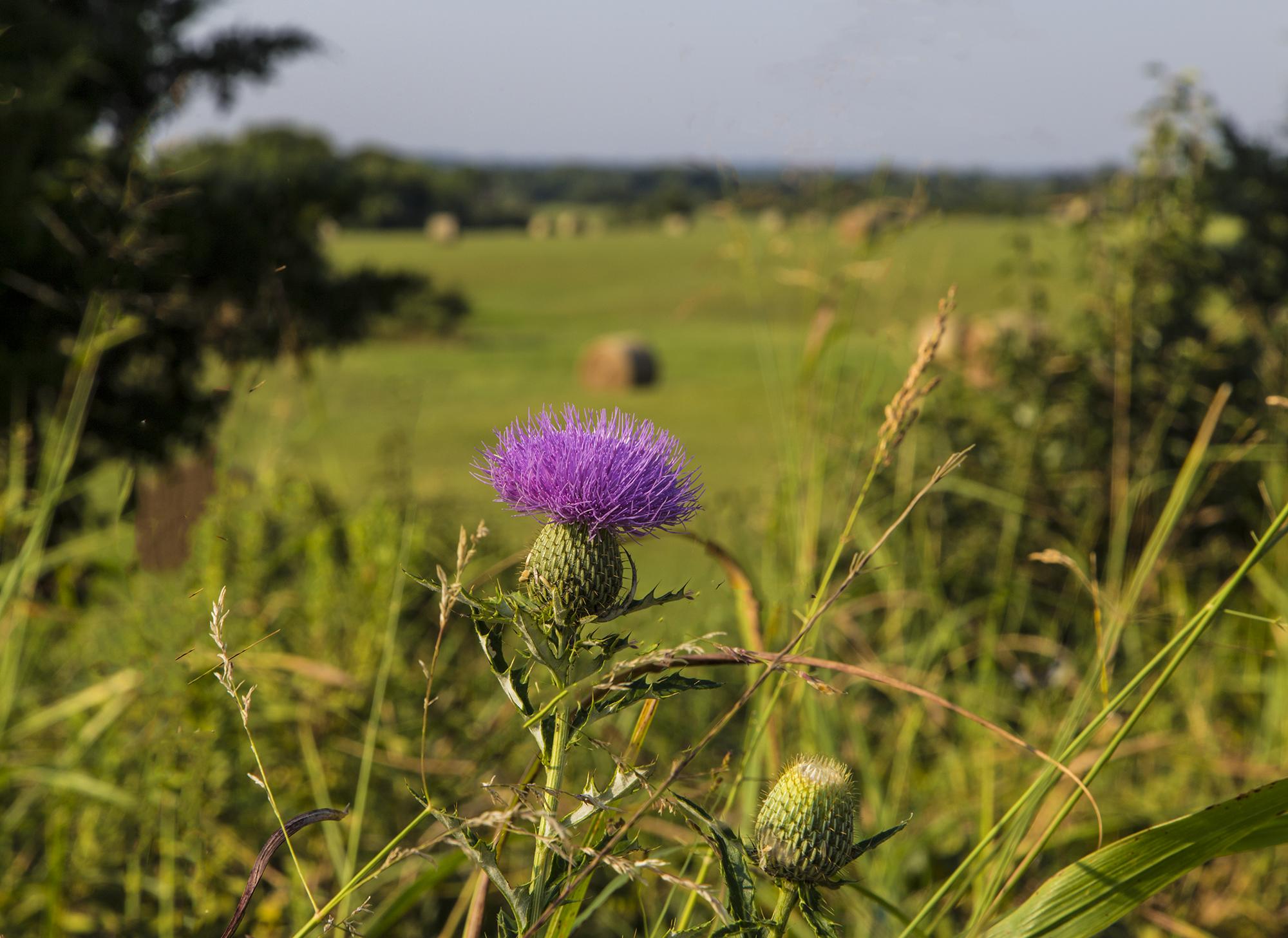
Lone Thistle Flower
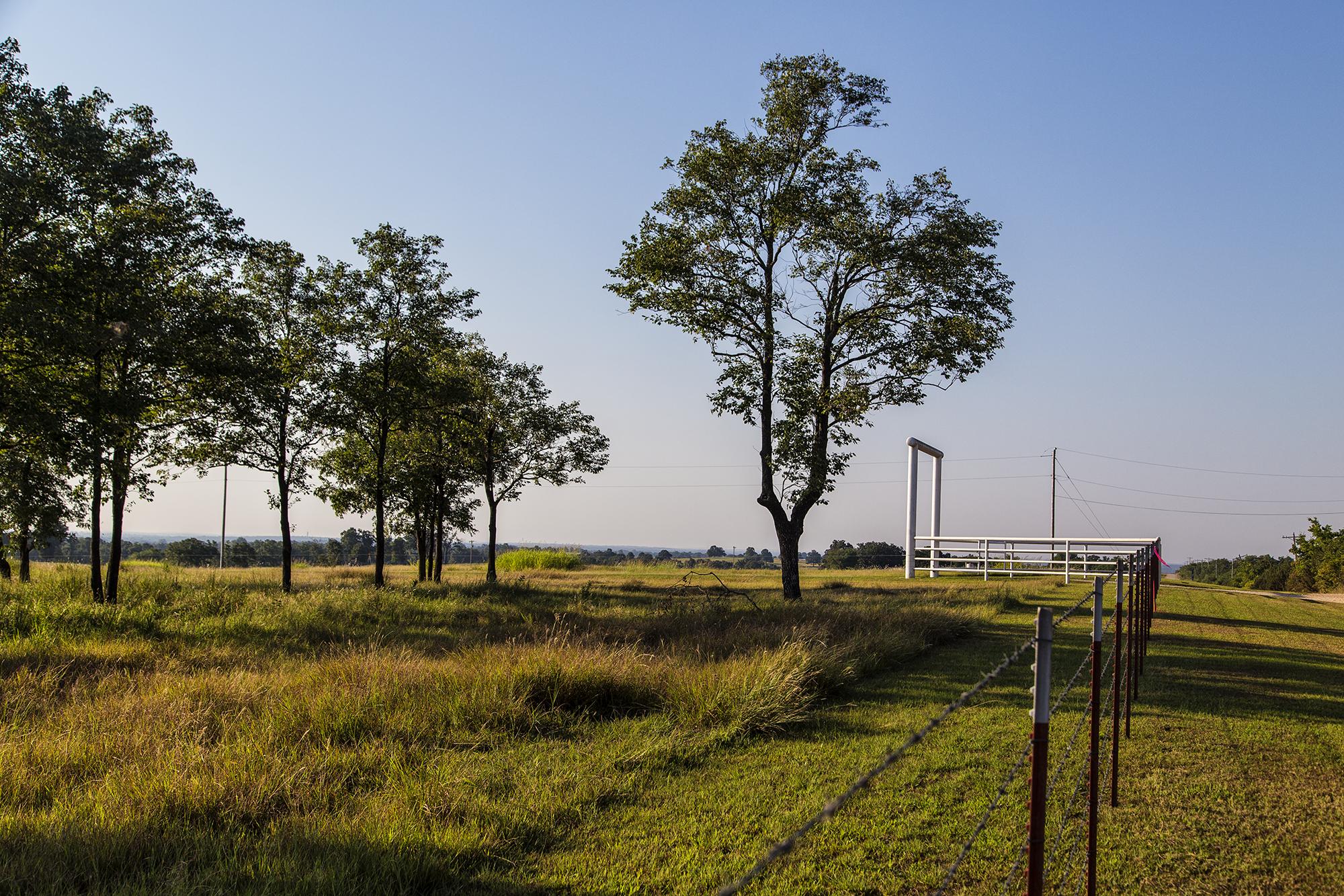
Tall Trees
20151022_072431_Richtone(HDR)
Topographic Map of Stroud Lake, Stroud, OK, USA
Find elevation by address:

Places near Stroud Lake, Stroud, OK, USA:
Stroud
Depew
S th W Ave, Depew, OK, USA
West 311th Street South
W th St S, Depew, OK, USA
Drumright
122 N Pennsylvania Ave
Broadway Ave, Prague, OK, USA
Davenport
S Main St, Bristow, OK, USA
Bristow
W 96th St S, Drumright, OK, USA
OK-66, Bristow, OK, USA
OK-48, Bristow, OK, USA
O'reilly Auto Parts
South Harrison Avenue
S 1st St, Agra, OK, USA
Cushing
Edward Jones - Financial Advisor: Grant E Mcneal
S th W Ave, Drumright, OK, USA
Recent Searches:
- Elevation of 3 Nestling Wood Dr, Long Valley, NJ, USA
- Elevation of Ilungu, Tanzania
- Elevation of Yellow Springs Road, Yellow Springs Rd, Chester Springs, PA, USA
- Elevation of Rēzekne Municipality, Latvia
- Elevation of Plikpūrmaļi, Vērēmi Parish, Rēzekne Municipality, LV-, Latvia
- Elevation of 2 Henschke Ct, Caboolture QLD, Australia
- Elevation of Redondo Ave, Long Beach, CA, USA
- Elevation of Sadovaya Ulitsa, 20, Rezh, Sverdlovskaya oblast', Russia
- Elevation of Ulitsa Kalinina, 79, Rezh, Sverdlovskaya oblast', Russia
- Elevation of 72-31 Metropolitan Ave, Middle Village, NY, USA