Elevation of S 1st St, Agra, OK, USA
Location: United States > Oklahoma > Lincoln County > Agra >
Longitude: -96.842996
Latitude: 35.8400139
Elevation: 296m / 971feet
Barometric Pressure: 98KPa
Elevation Map:
Satellite Map:
Related Photos:
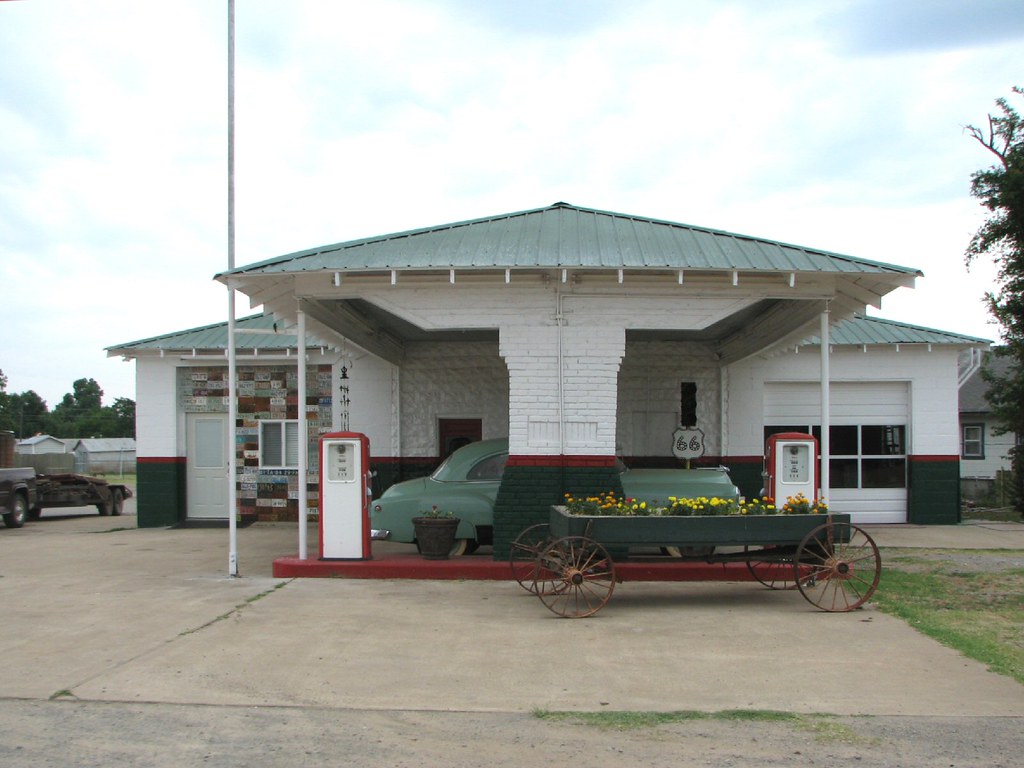
Davenport Texaco
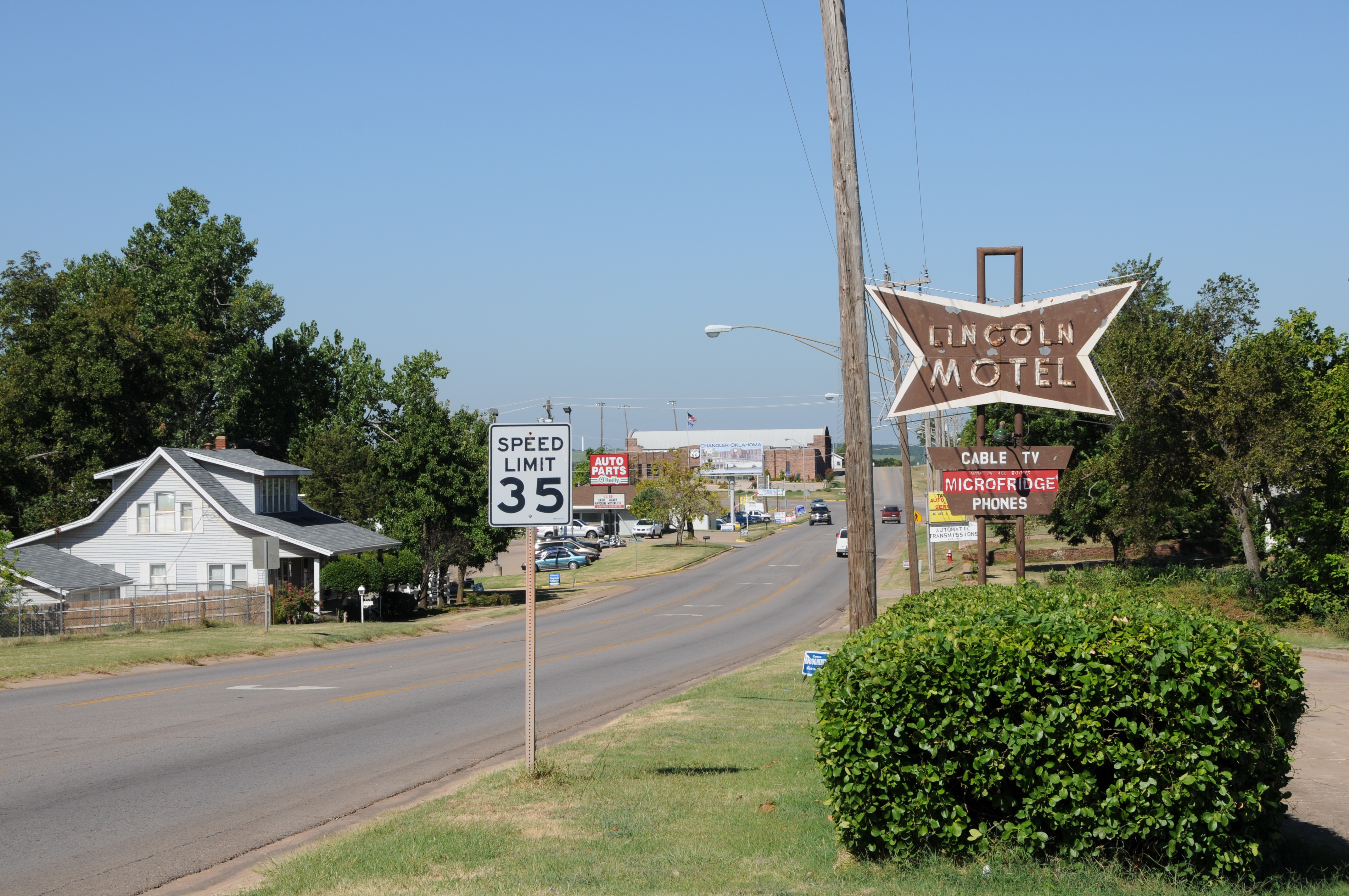
ROUTE66_2010_0693 - CHANDLER OK
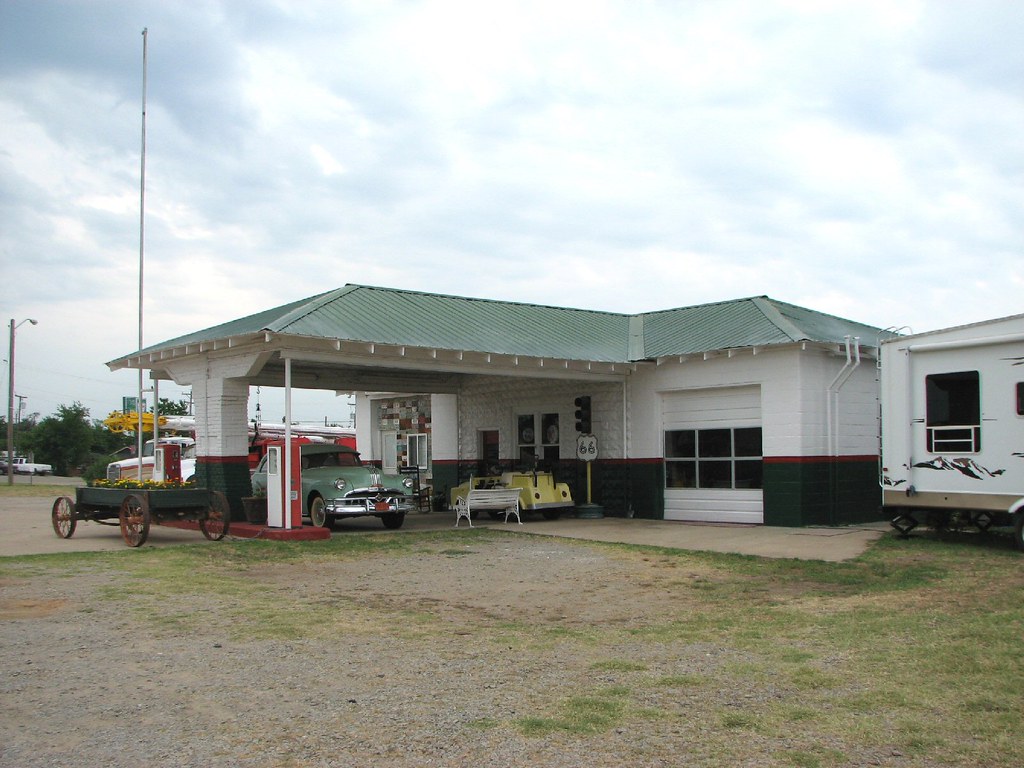
Davenport Texaco-Side View
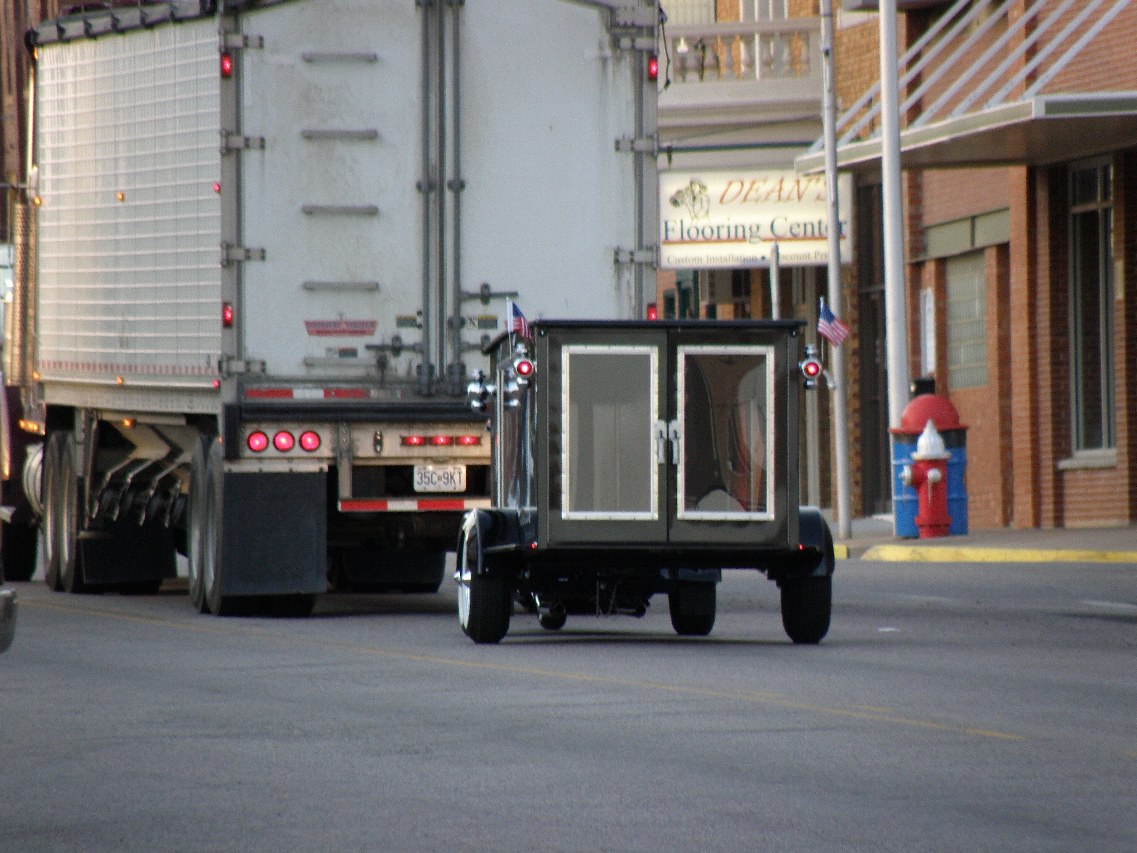
"Last Ride Motorcycle Hearse"

Lincoln County Supercell

043 copy

10-06-15 Day 18 - Route 66

Benjiman Hamon. My Great Great Great grandfather. #ancestry #relatives #history #oklahoma
OK Spring Fling 2015 39
Outside Chandler
OK Spring Fling 2015 44
The Antique Shop
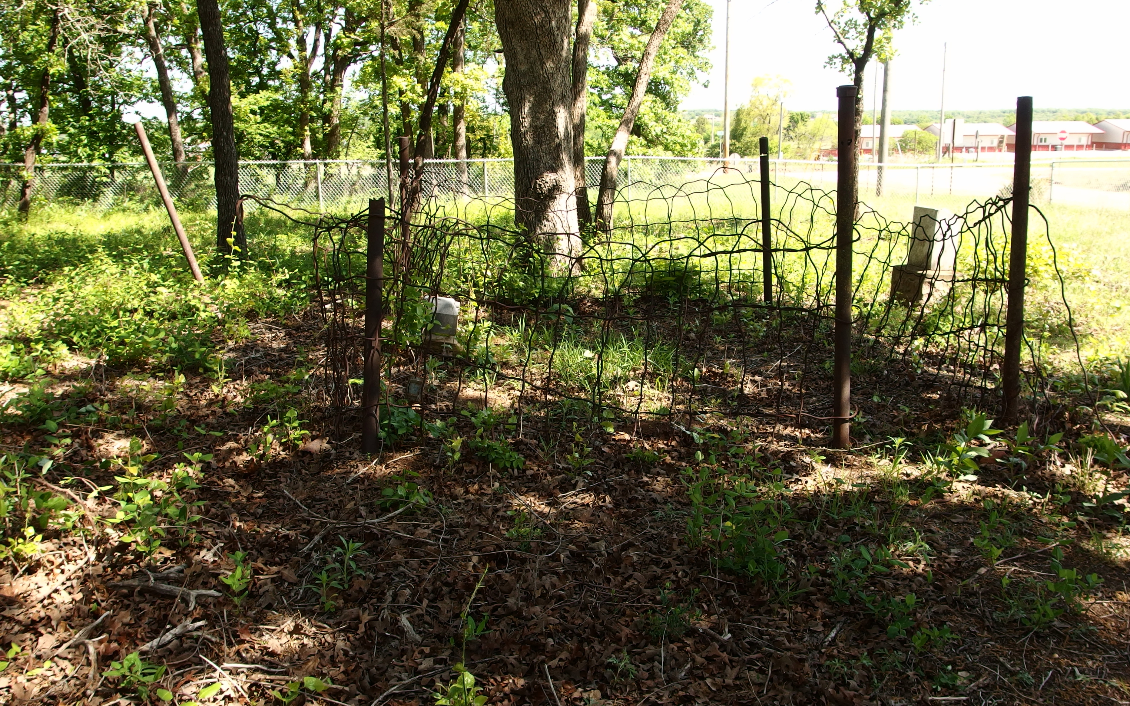
McCorkle Cemetery (07)

McCorkle Cemetery (04)
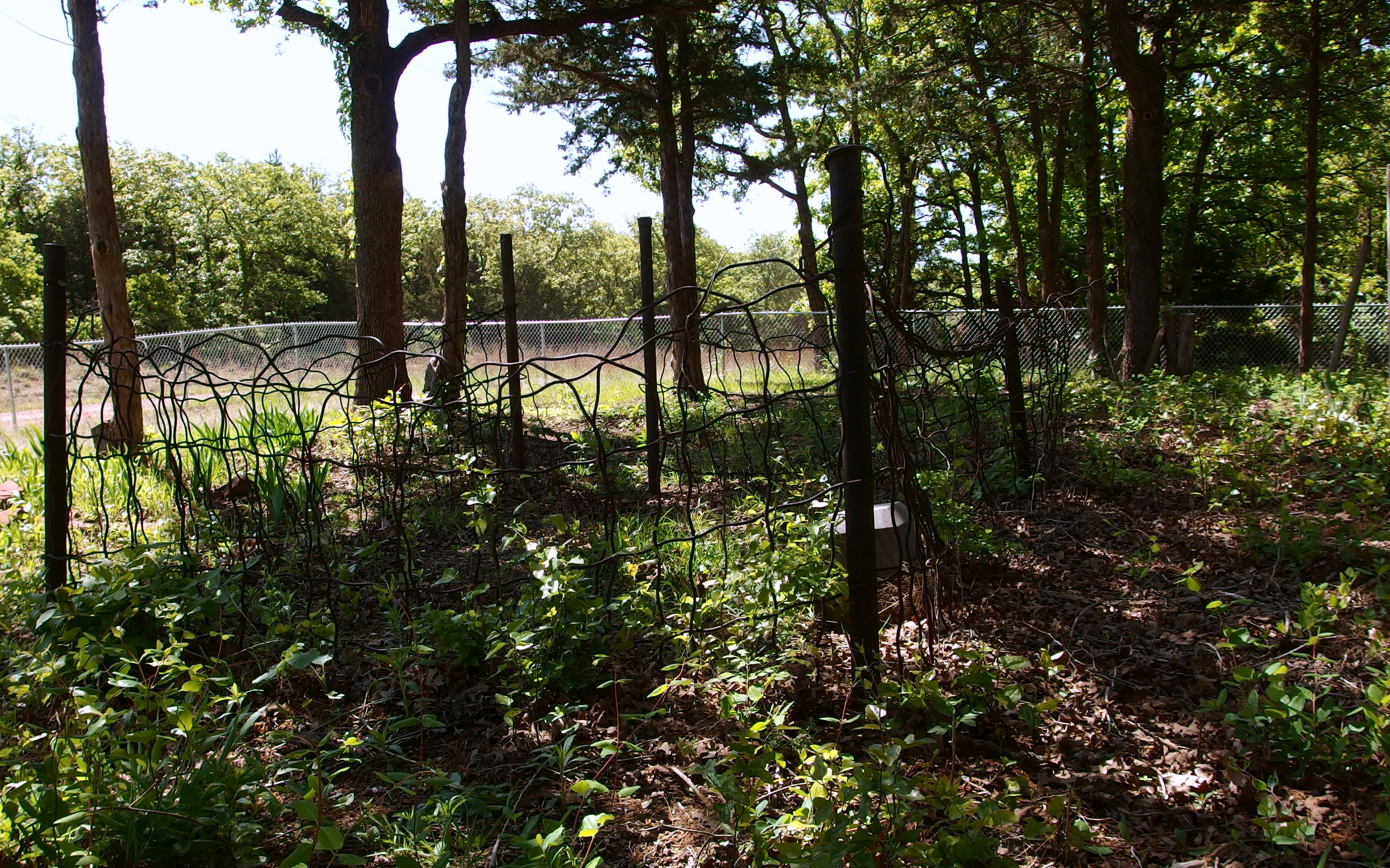
McCorkle Cemetery (03)

Oklahoma.
Topographic Map of S 1st St, Agra, OK, USA
Find elevation by address:

Places near S 1st St, Agra, OK, USA:
Agra
342586 E 750 Rd
Tryon
2 Central Ave, Carney, OK, USA
204 W 8th St
Chandler
South Harrison Avenue
Broadway Ave, Prague, OK, USA
Davenport
Edward Jones - Financial Advisor: Grant E Mcneal
Cushing
341000 Ok-66
O'reilly Auto Parts
Carney
Us-177 & Ok-105
Morton Ave, Ripley, OK, USA
Lincoln County
Stroud
Warwick
Stroud Lake
Recent Searches:
- Elevation of Corso Fratelli Cairoli, 35, Macerata MC, Italy
- Elevation of Tallevast Rd, Sarasota, FL, USA
- Elevation of 4th St E, Sonoma, CA, USA
- Elevation of Black Hollow Rd, Pennsdale, PA, USA
- Elevation of Oakland Ave, Williamsport, PA, USA
- Elevation of Pedrógão Grande, Portugal
- Elevation of Klee Dr, Martinsburg, WV, USA
- Elevation of Via Roma, Pieranica CR, Italy
- Elevation of Tavkvetili Mountain, Georgia
- Elevation of Hartfords Bluff Cir, Mt Pleasant, SC, USA