Elevation of OK-48, Bristow, OK, USA
Location: United States > Oklahoma > Creek County > Bristow >
Longitude: -96.38645
Latitude: 35.9003159
Elevation: 284m / 932feet
Barometric Pressure: 98KPa
Elevation Map:
Satellite Map:
Related Photos:
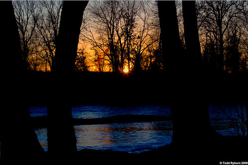
Sunset in Oklahoma
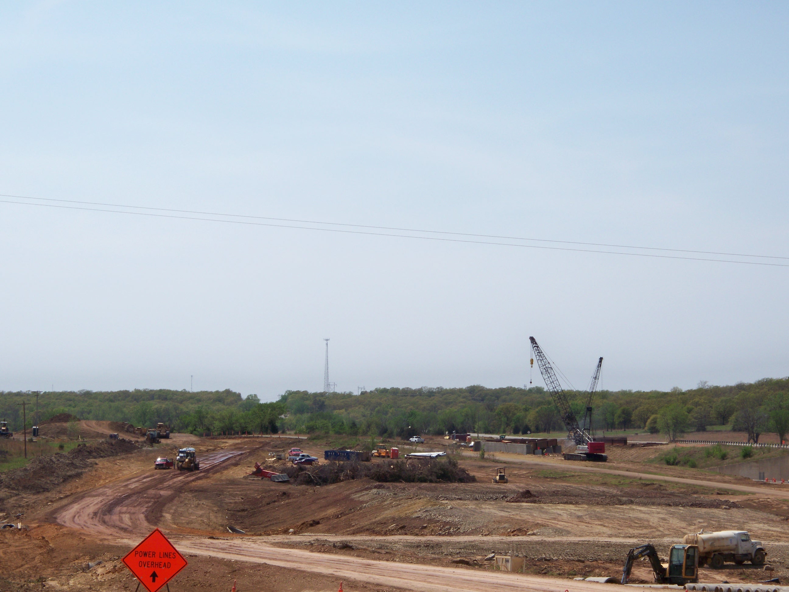
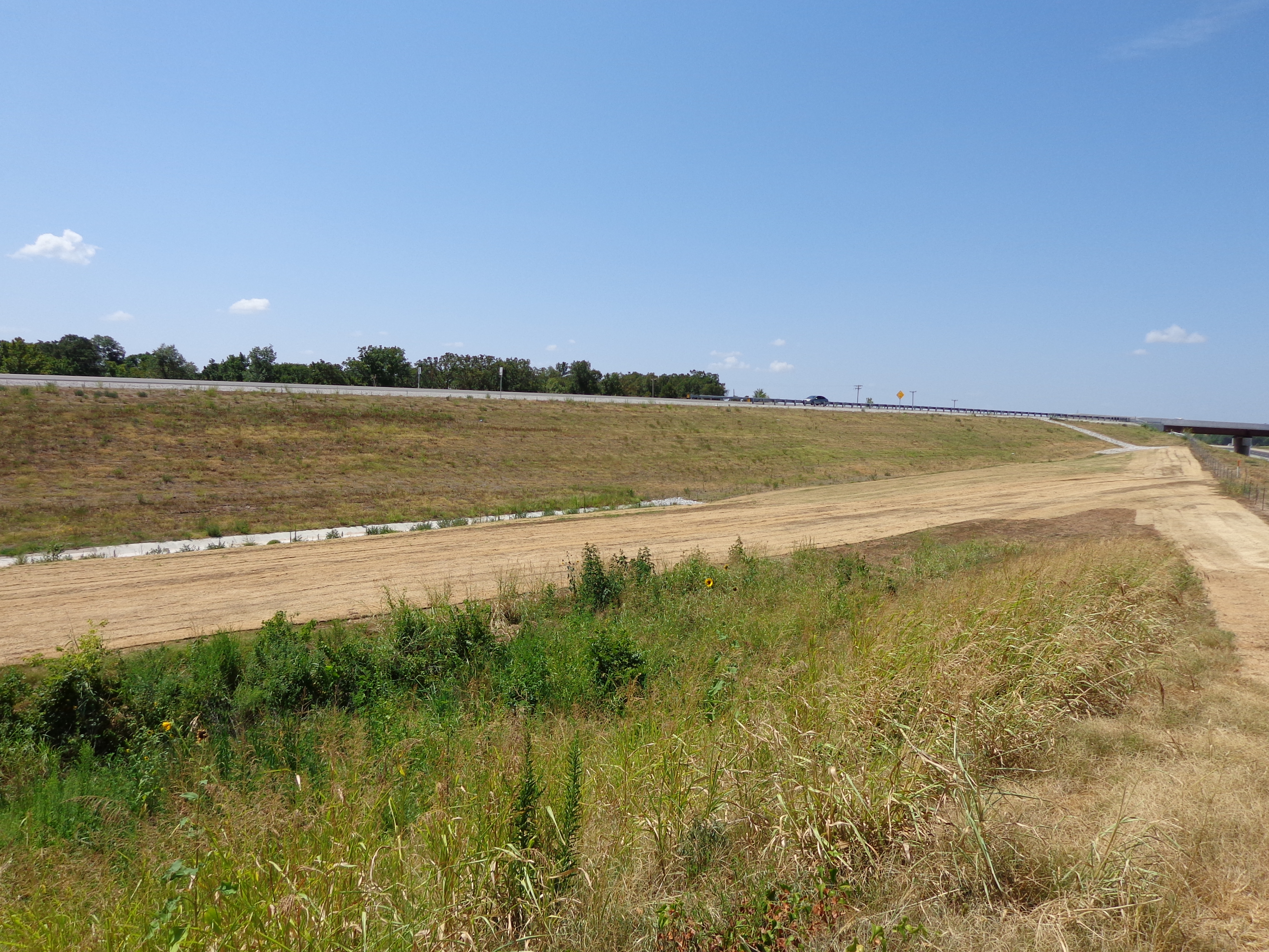
Project view

Project view
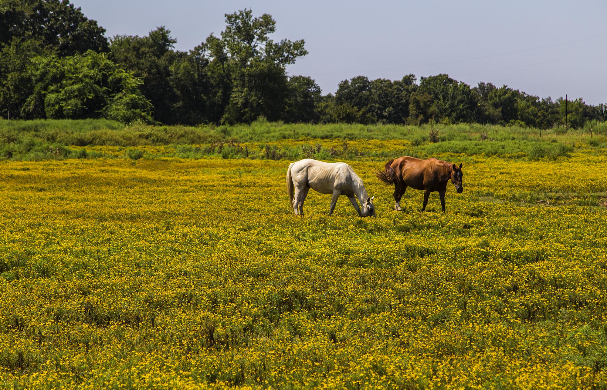
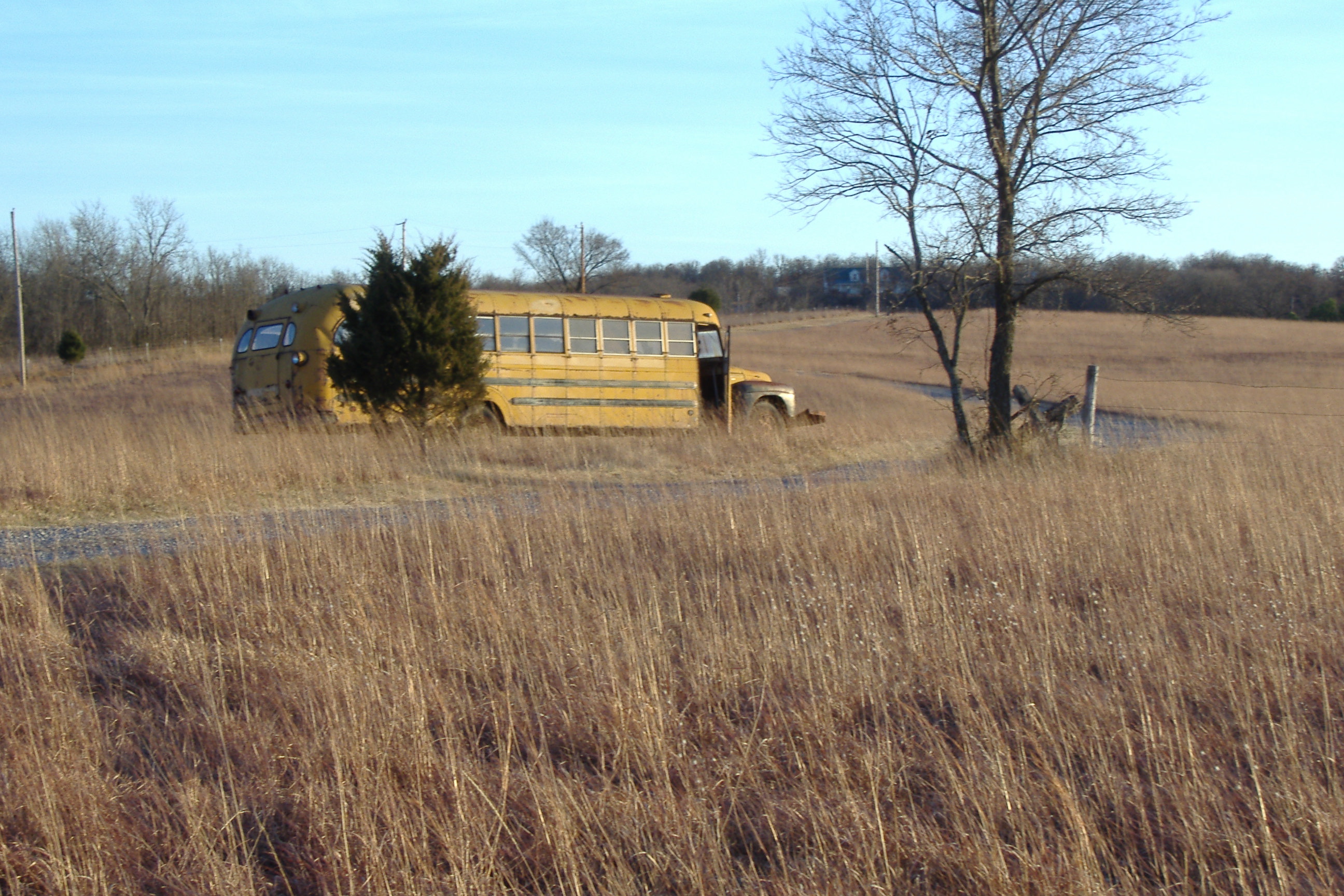
Horses in a Field of Yellow
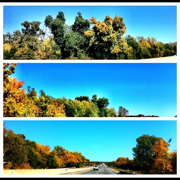
How bout that!? Fall is right on time!
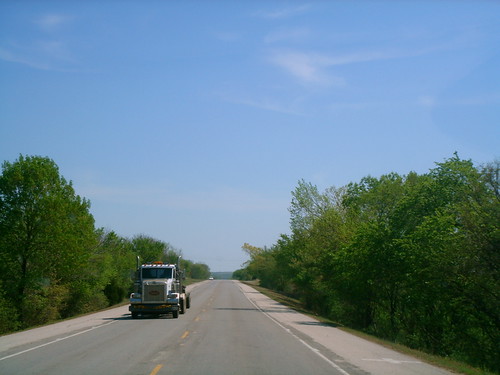
(2) taken today in Oklahoma near Tulsa

IMGP4511.jpg
Redneck Camper
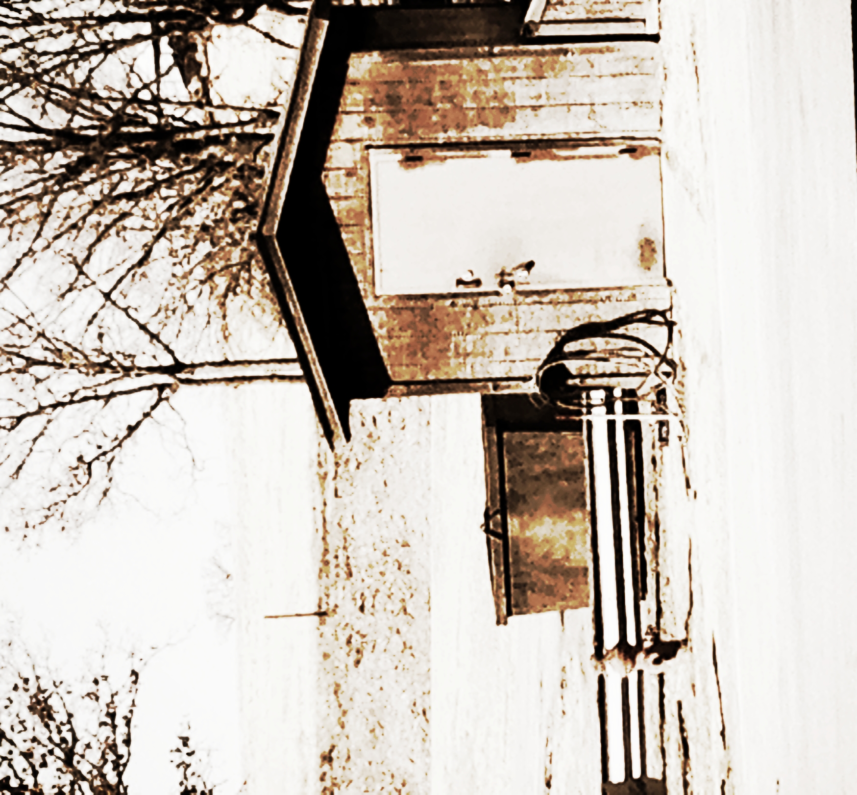
Old Route 66
Kellyview VVSF
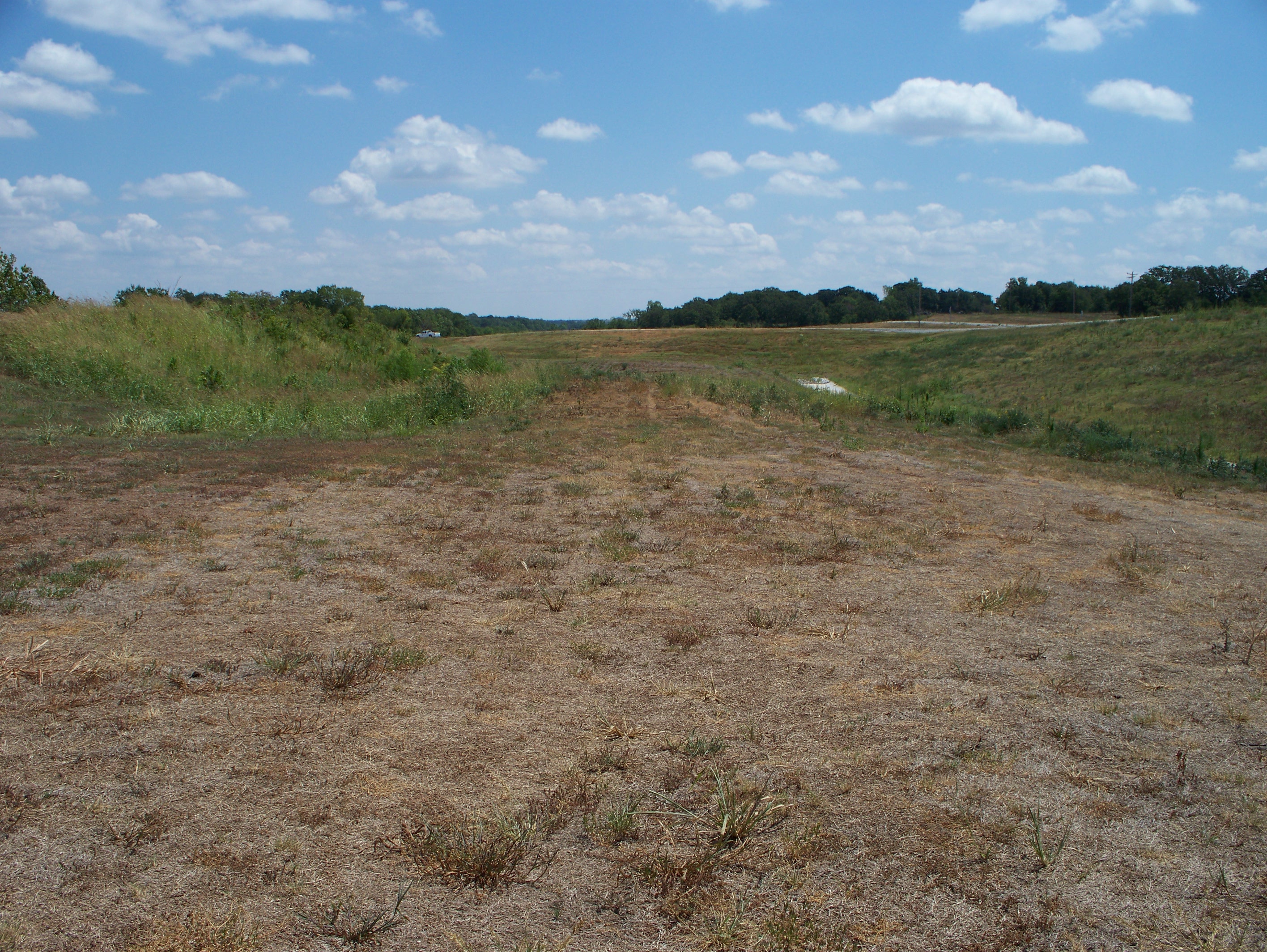
75yards from gravelroad
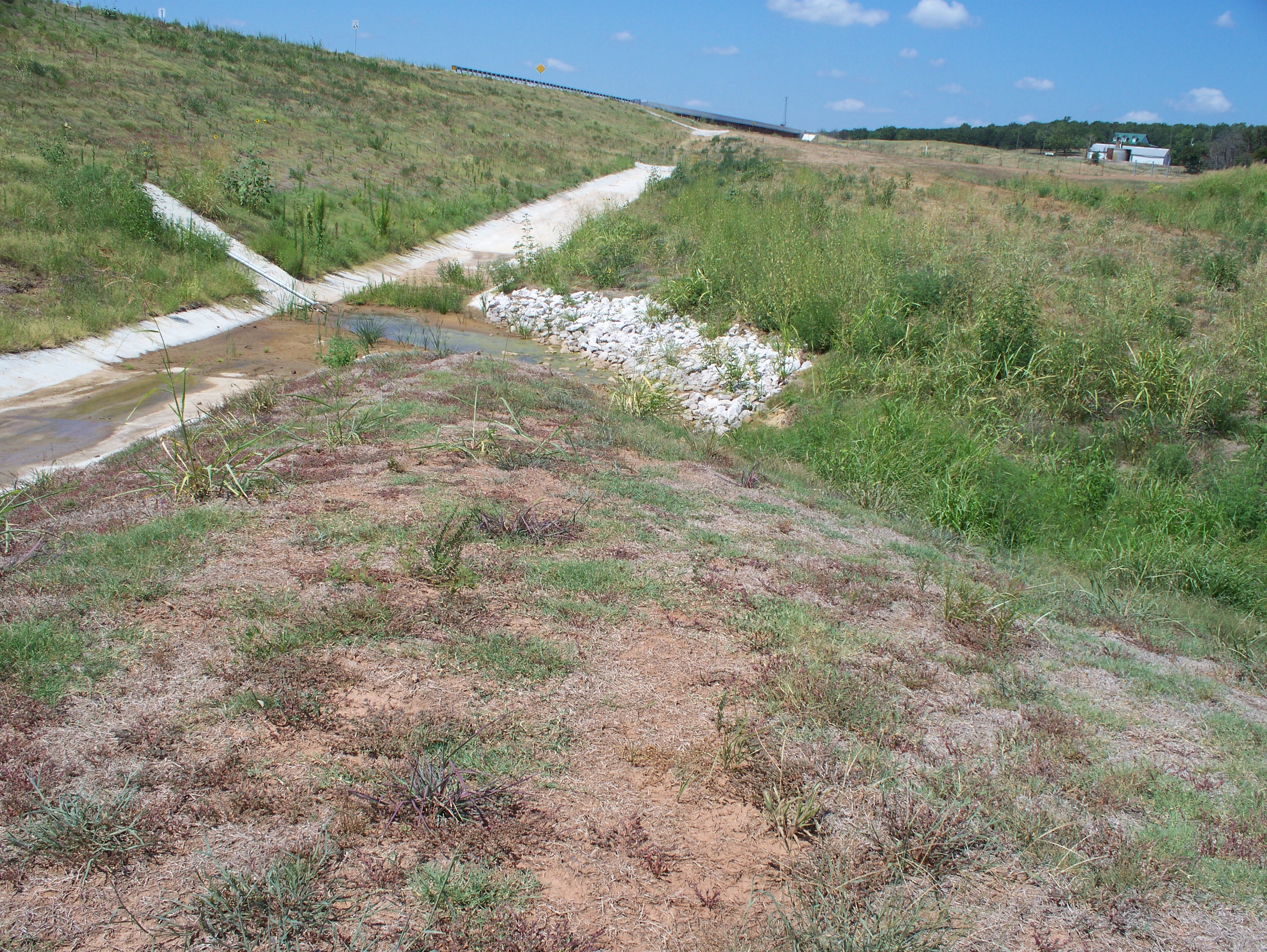
Ditchliner@crossing
Topographic Map of OK-48, Bristow, OK, USA
Find elevation by address:

Places near OK-48, Bristow, OK, USA:
OK-66, Bristow, OK, USA
S Main St, Bristow, OK, USA
Bristow
13369 Ok-48
Creek County
Depew
S th W Ave, Drumright, OK, USA
Kellyville
30052 W 311th St S
W th St S, Depew, OK, USA
West 311th Street South
West 321st Street South
Gardenia Cir, Mannford, OK, USA
Cimarron Pointe Care Center
Drumright
122 N Pennsylvania Ave
Stroud Lake
S th W Ave, Depew, OK, USA
2120 W Taft Ave
2120 W Taft Ave
Recent Searches:
- Elevation of 3 Nestling Wood Dr, Long Valley, NJ, USA
- Elevation of Ilungu, Tanzania
- Elevation of Yellow Springs Road, Yellow Springs Rd, Chester Springs, PA, USA
- Elevation of Rēzekne Municipality, Latvia
- Elevation of Plikpūrmaļi, Vērēmi Parish, Rēzekne Municipality, LV-, Latvia
- Elevation of 2 Henschke Ct, Caboolture QLD, Australia
- Elevation of Redondo Ave, Long Beach, CA, USA
- Elevation of Sadovaya Ulitsa, 20, Rezh, Sverdlovskaya oblast', Russia
- Elevation of Ulitsa Kalinina, 79, Rezh, Sverdlovskaya oblast', Russia
- Elevation of 72-31 Metropolitan Ave, Middle Village, NY, USA