Elevation of Stringtown Rd, Sacramento, KY, USA
Location: United States > Kentucky > Mclean County > Sacramento >
Longitude: -87.301235
Latitude: 37.3516769
Elevation: 122m / 400feet
Barometric Pressure: 100KPa
Elevation Map:
Satellite Map:
Related Photos:

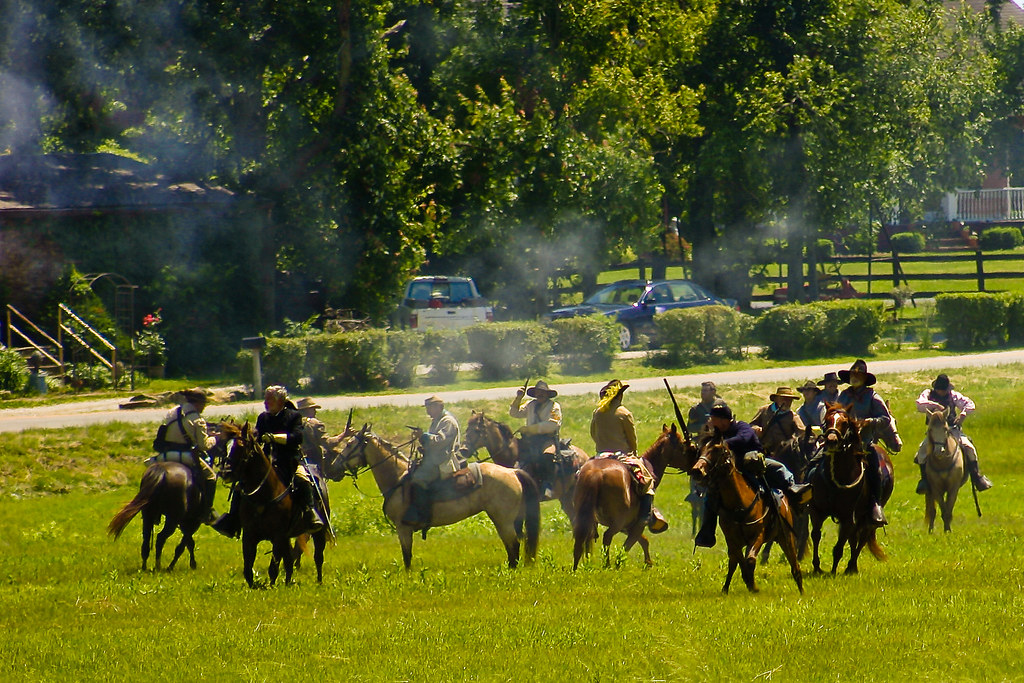
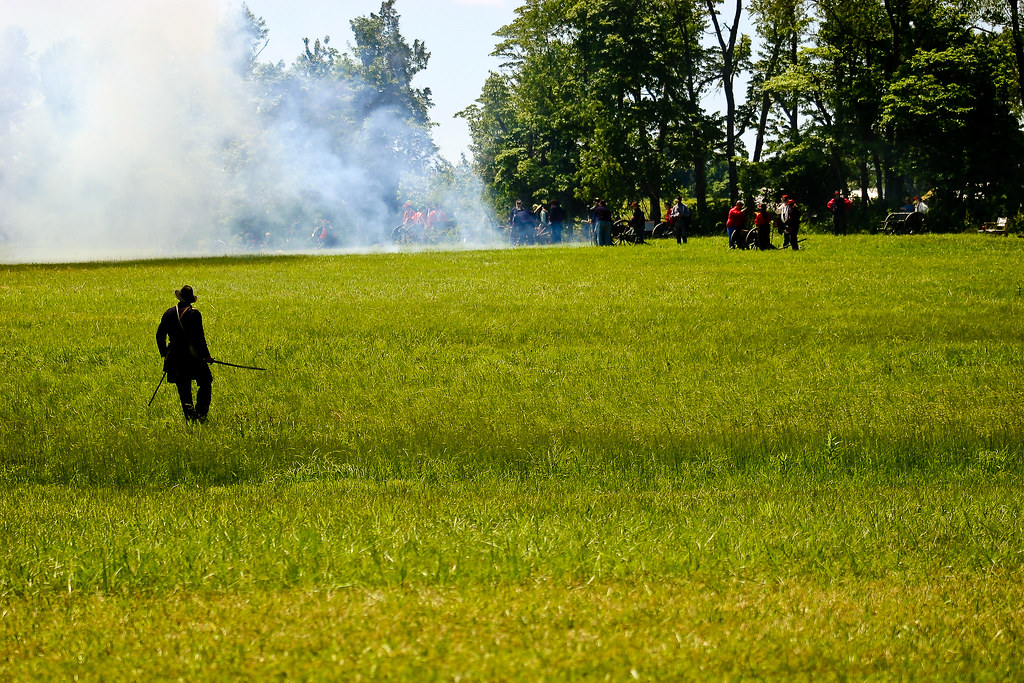
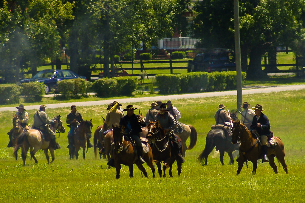
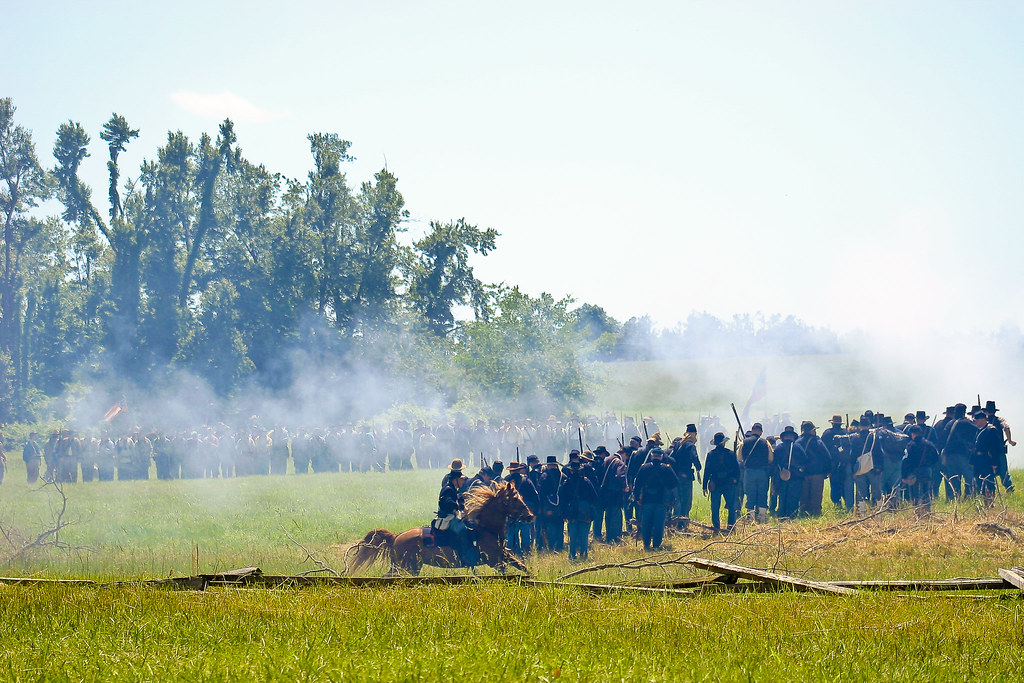
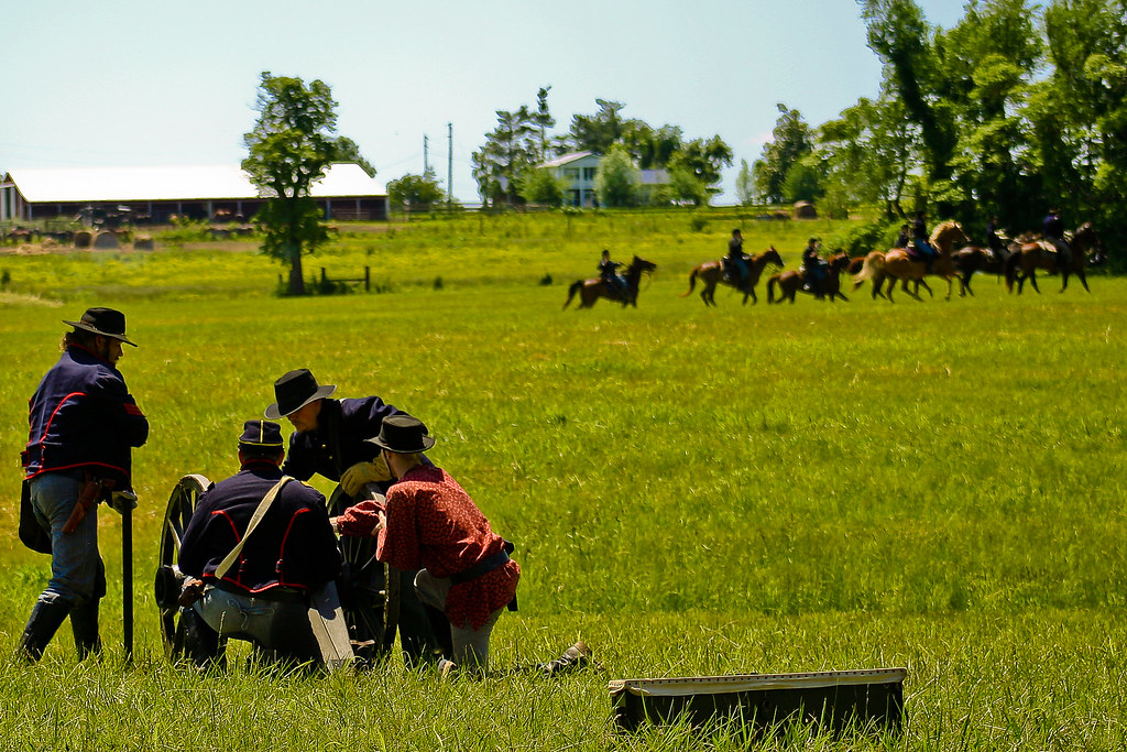
Battle of Sacramento, KY: May 16, 17, 18, 2008

Battle of Sacramento, KY: May 16, 17, 18, 2008
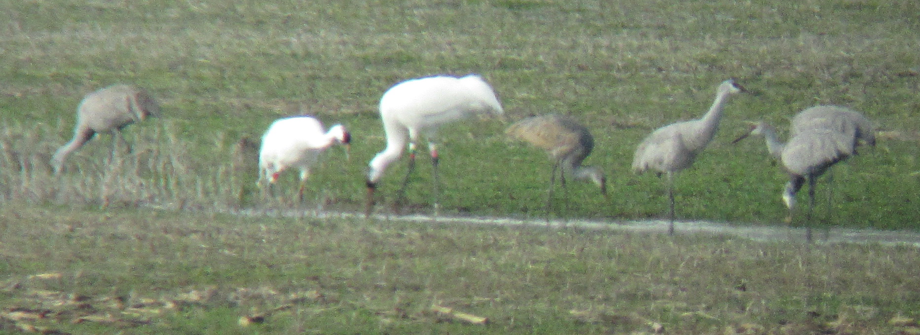
Sandhill Cranes & Whooping Cranes

Battle of Sacramento, KY: May 16, 17, 18, 2008

Battle of Sacramento, KY: May 16, 17, 18, 2008
IMG_0125-125
IMG_0161-161

IMG_0031-31

IMG_0029-29

IMG_0028-28

IMG_0177-177

IMG_0114-114

IMG_0145-145

IMG_0134-134

IMG_0085-85

IMG_0211-211

IMG_0149-149

IMG_0099-99
IMG_0126-126

IMG_0179-179

IMG_0030-30
IMG_0133-133

IMG_0111-111

IMG_0236-236

IMG_0067-67
IMG_0068-68
Topographic Map of Stringtown Rd, Sacramento, KY, USA
Find elevation by address:

Places near Stringtown Rd, Sacramento, KY, USA:
Sacramento
243 Ky-85
130 W 2nd St
115 Main St
24 Ky-85
75 Main St
6525 Brown Rd
285 Carroll Gentry Rd
220 Cathlyn Dr
20 Eastlawn Rd, Hanson, KY, USA
Hanson
15 Sandcut Rd, Madisonville, KY, USA
Madisonville
1515 Heather Pl
1515 Heather Pl
South Madison Avenue
608 S Madison Ave
Anne Dr, Madisonville, KY, USA
Johnson St, Earlington, KY, USA
Nebo Rd, Madisonville, KY, USA
Recent Searches:
- Elevation of Tenjo, Cundinamarca, Colombia
- Elevation of Côte-des-Neiges, Montreal, QC H4A 3J6, Canada
- Elevation of Bobcat Dr, Helena, MT, USA
- Elevation of Zu den Ihlowbergen, Althüttendorf, Germany
- Elevation of Badaber, Peshawar, Khyber Pakhtunkhwa, Pakistan
- Elevation of SE Heron Loop, Lincoln City, OR, USA
- Elevation of Slanický ostrov, 01 Námestovo, Slovakia
- Elevation of Spaceport America, Co Rd A, Truth or Consequences, NM, USA
- Elevation of Warwick, RI, USA
- Elevation of Fern Rd, Whitmore, CA, USA