Elevation of McLean County, KY, USA
Location: United States > Kentucky >
Longitude: -87.261832
Latitude: 37.5644352
Elevation: 135m / 443feet
Barometric Pressure: 100KPa
Elevation Map:
Satellite Map:
Related Photos:

Female Tree Swallow

Eastern Bluebird - juvenile

#countryside #view #sky #blue #clouds

Dragonfly - Widow Skimmer

Indigo Bunting

Mourning Dove

Male Tree Swallow

Brown Thrasher (maybe a juvenile)

Butterfly Milkweed - 6/9/13

Female Tree Swallow

Male Tree Swallow

Eastern Bluebird - juvenile

Eastern Bluebird- juvenile

Calhoun River

Black-eyed Susan - 6/9/13

The days Last gleaming

McLean County Fair -116

heysátan

to the winds we give our prayers
4 Wheeler Trip 07 009

McLean County Fair -253
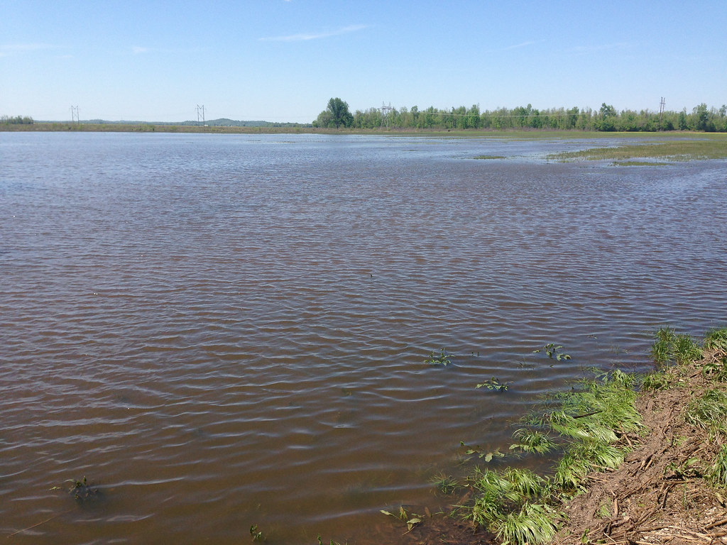
Yellowlegs Field

My Old Kentucky Home

McLean County Fair -193
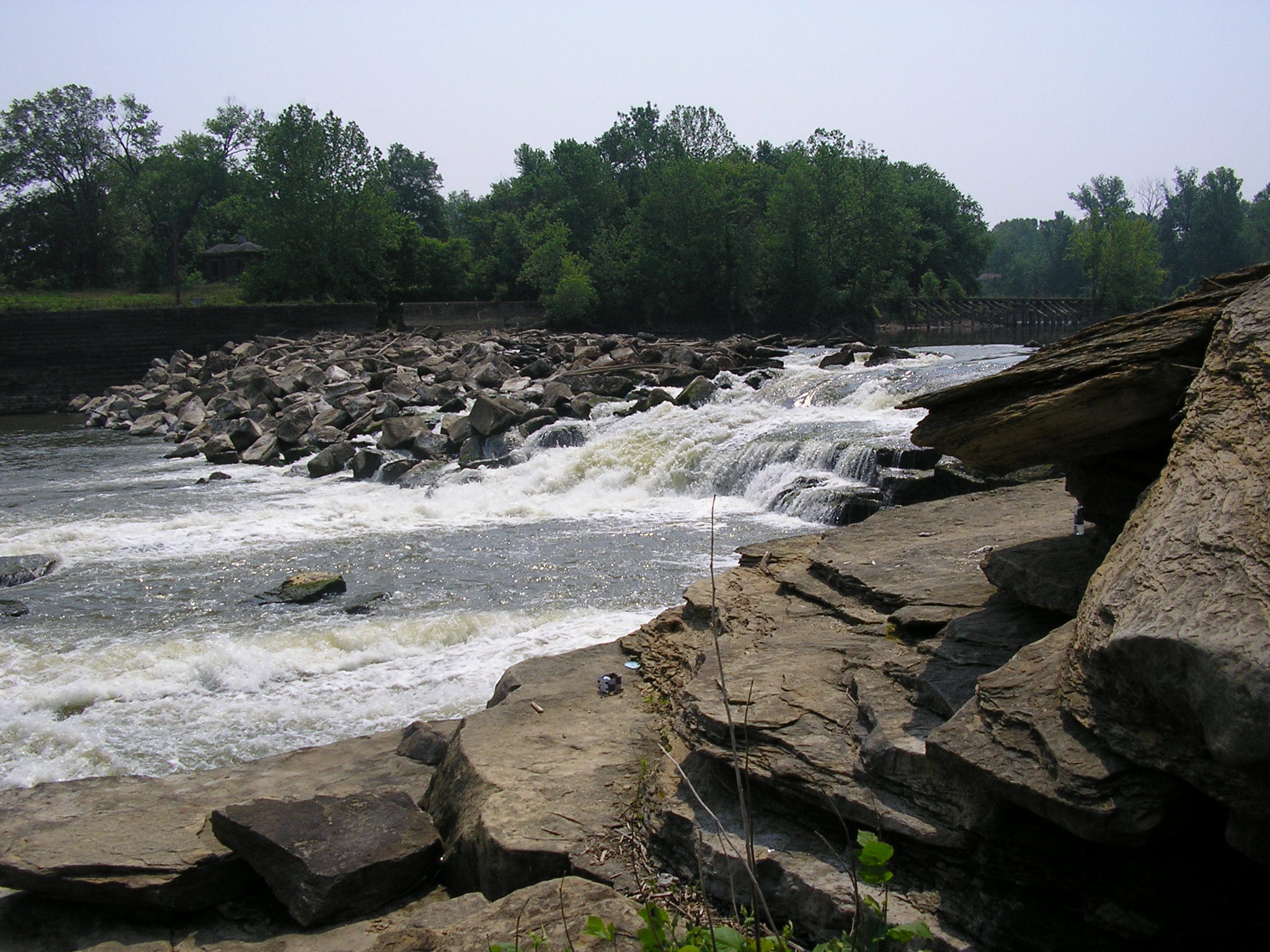
Rochester Dam

4 Wheeler Trip

At Mike's

Pam @ Rochester Dam
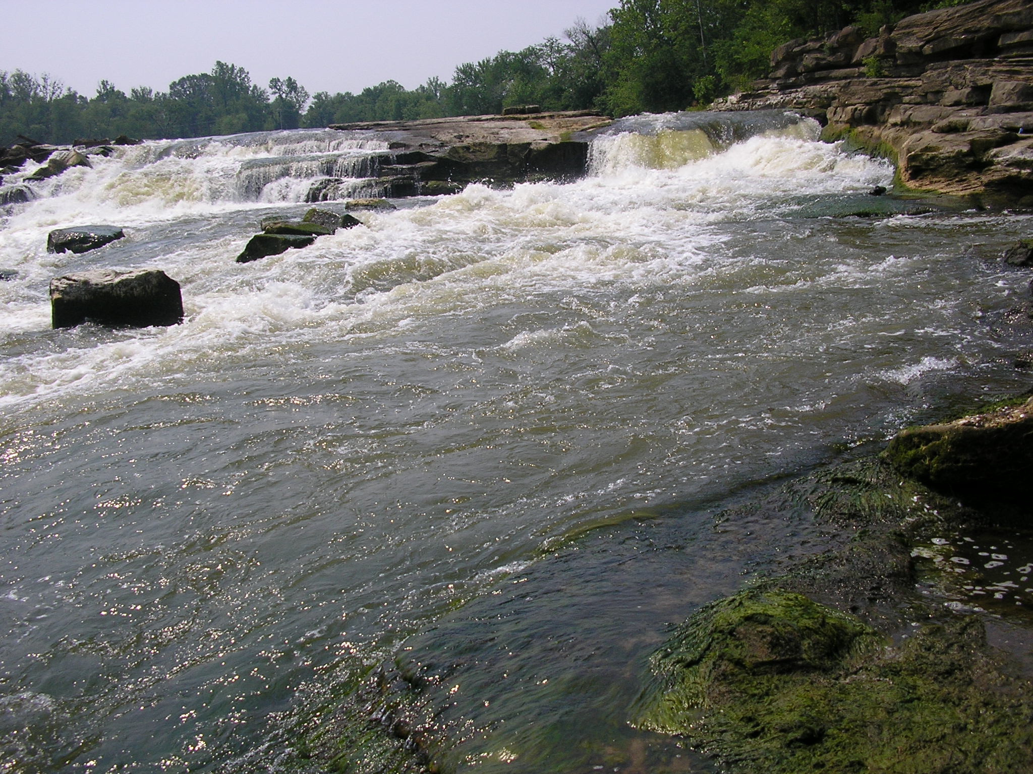
Rochester Dam

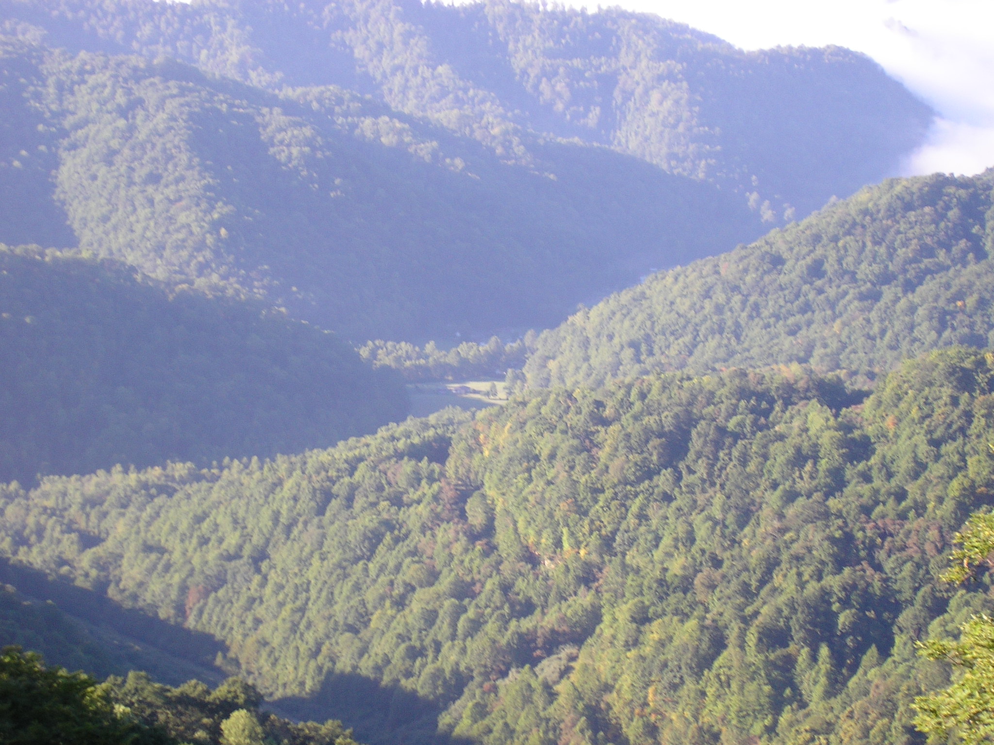
Aerial - Windy Hollow

4 Wheeler Trip 07 027

4 Wheeler Trip 07 016
Topographic Map of McLean County, KY, USA
Find elevation by address:

Places in McLean County, KY, USA:
Places near McLean County, KY, USA:
Calhoun
Rumsey
395 N Canal St
Hanna Ln, Rumsey, KY, USA
KY-, Calhoun, KY, USA
KY-, Calhoun, KY, USA
KY-, Utica, KY, USA
KY-, Utica, KY, USA
KY-, Calhoun, KY, USA
4677 Lonesome Pine Trail
Onton Rd, Slaughters, KY, USA
Hobbs Rd, Owensboro, KY, USA
KY-, Calhoun, KY, USA
Main St, Calhoun, KY, USA
75 Main St
24 Ky-85
115 Main St
130 W 2nd St
243 Ky-85
Sacramento
Recent Searches:
- Elevation of Corso Fratelli Cairoli, 35, Macerata MC, Italy
- Elevation of Tallevast Rd, Sarasota, FL, USA
- Elevation of 4th St E, Sonoma, CA, USA
- Elevation of Black Hollow Rd, Pennsdale, PA, USA
- Elevation of Oakland Ave, Williamsport, PA, USA
- Elevation of Pedrógão Grande, Portugal
- Elevation of Klee Dr, Martinsburg, WV, USA
- Elevation of Via Roma, Pieranica CR, Italy
- Elevation of Tavkvetili Mountain, Georgia
- Elevation of Hartfords Bluff Cir, Mt Pleasant, SC, USA