Elevation of KY-, Calhoun, KY, USA
Location: United States > Kentucky > Mclean County > Calhoun >
Longitude: -87.322219
Latitude: 37.57027
Elevation: 122m / 400feet
Barometric Pressure: 100KPa
Elevation Map:
Satellite Map:
Related Photos:

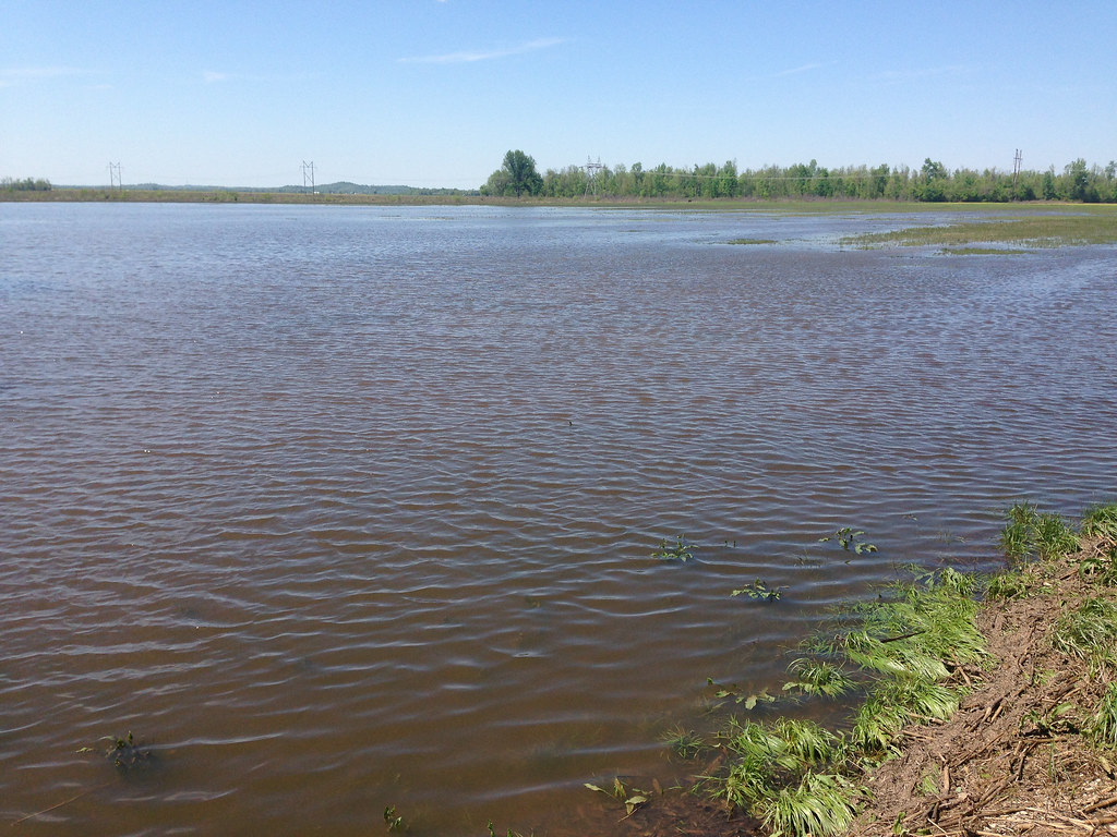
Calhoun River

Eastern Bluebird - juvenile

Female Tree Swallow

Dragonfly - Widow Skimmer

Indigo Bunting

Mourning Dove

Male Tree Swallow

Brown Thrasher (maybe a juvenile)

Butterfly Milkweed - 6/9/13

Female Tree Swallow

Male Tree Swallow

Eastern Bluebird - juvenile

Eastern Bluebird- juvenile

Black-eyed Susan - 6/9/13

McLean County Fair -116

My Old Kentucky Home

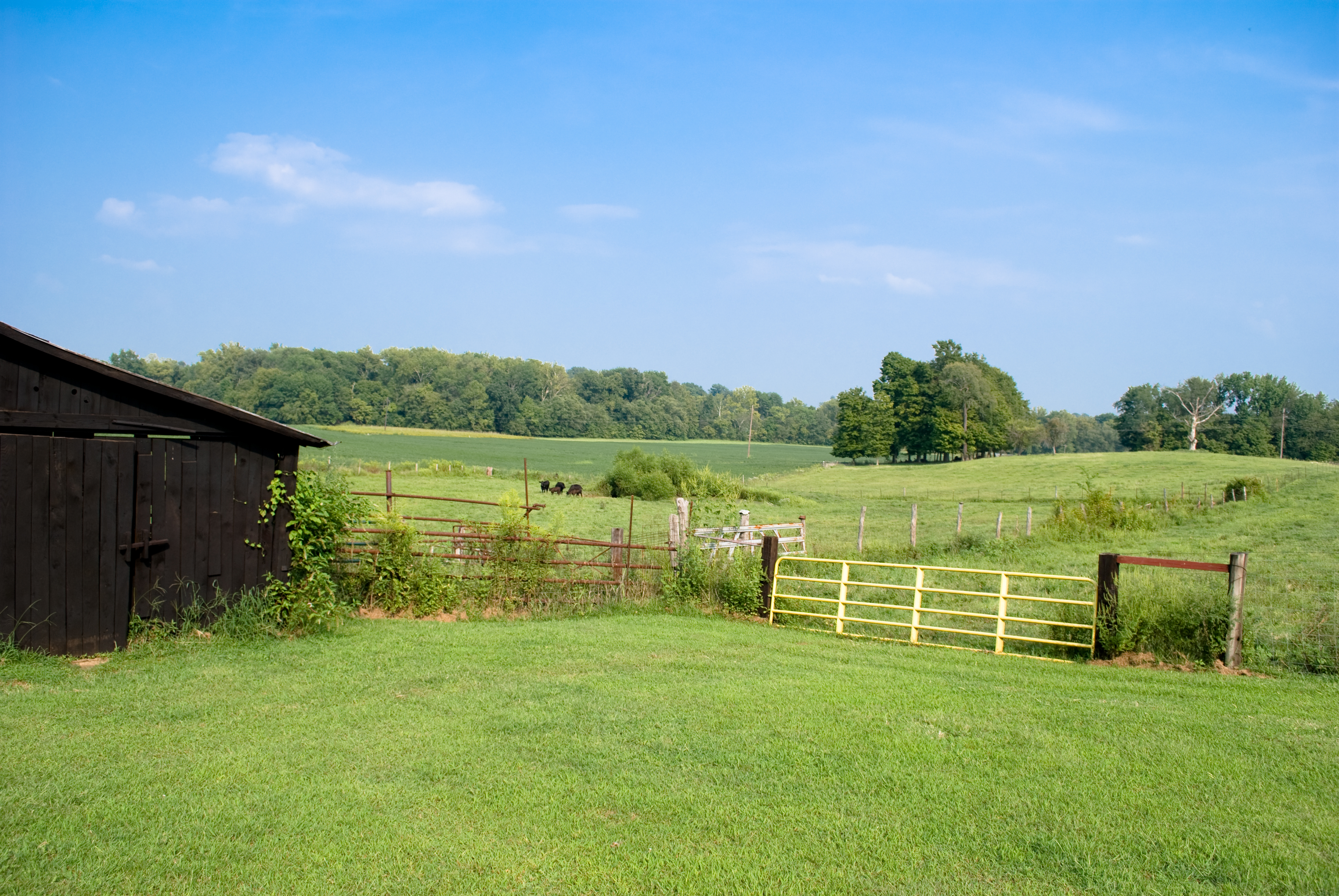
Barn on a Hill

McLean County Fair -253
Yellowlegs Field
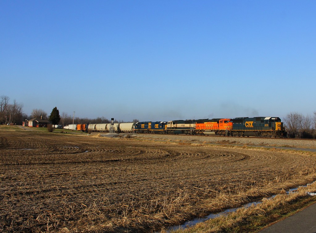
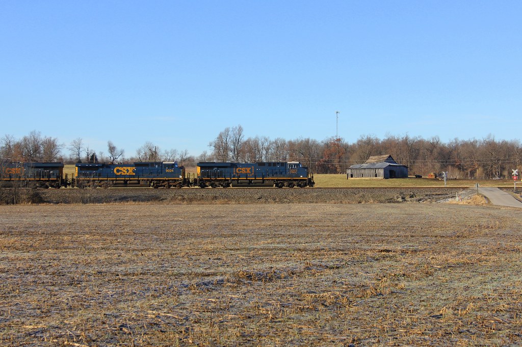
CSX Q515, Elmwood Curve, Slaughters,KY 12/17/2013

McLean County Fair -193
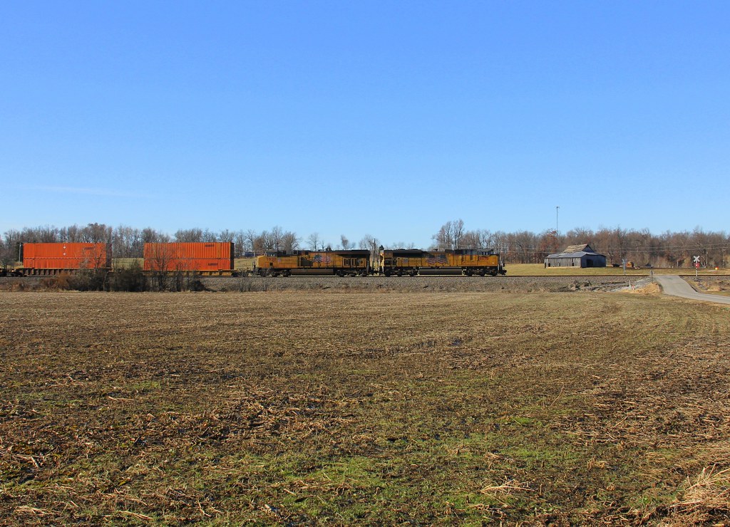
CSX Q028, Elmwood Curve, Slaughters,KY 12/18/2013
At Mike's

CSXT Q515, Elmwood, KY
CSX Q124, Elmwood Curve, Slaughters,KY 12/18/2013

Aerial - Windy Hollow
Topographic Map of KY-, Calhoun, KY, USA
Find elevation by address:

Places near KY-, Calhoun, KY, USA:
Onton Rd, Slaughters, KY, USA
Mclean County
KY-, Calhoun, KY, USA
Calhoun
Rumsey
Hanna Ln, Rumsey, KY, USA
395 N Canal St
KY-, Calhoun, KY, USA
Main St, Calhoun, KY, USA
KY-, Calhoun, KY, USA
KY-, Utica, KY, USA
Hobbs Rd, Owensboro, KY, USA
4677 Lonesome Pine Trail
KY-, Utica, KY, USA
9450 Ky-258
Delaware Ferry Ln, Owensboro, KY, USA
75 Main St
24 Ky-85
130 W 2nd St
115 Main St
Recent Searches:
- Elevation of 62 Abbey St, Marshfield, MA, USA
- Elevation of Fernwood, Bradenton, FL, USA
- Elevation of Felindre, Swansea SA5 7LU, UK
- Elevation of Leyte Industrial Development Estate, Isabel, Leyte, Philippines
- Elevation of W Granada St, Tampa, FL, USA
- Elevation of Pykes Down, Ivybridge PL21 0BY, UK
- Elevation of Jalan Senandin, Lutong, Miri, Sarawak, Malaysia
- Elevation of Bilohirs'k
- Elevation of 30 Oak Lawn Dr, Barkhamsted, CT, USA
- Elevation of Luther Road, Luther Rd, Auburn, CA, USA