Elevation of Cathlyn Dr, Madisonville, KY, USA
Location: United States > Kentucky > Hopkins County > Madisonville >
Longitude: -87.463248
Latitude: 37.3234641
Elevation: 152m / 499feet
Barometric Pressure: 100KPa
Elevation Map:
Satellite Map:
Related Photos:

View from the B&B

Sandhill Cranes & Whooping Cranes

Hanson KY Sunset | 26 Dec 2014

Same Scene August 2011
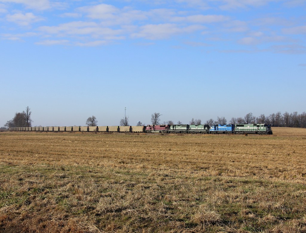
CSX W103, Manitou,KY 12/17/2013
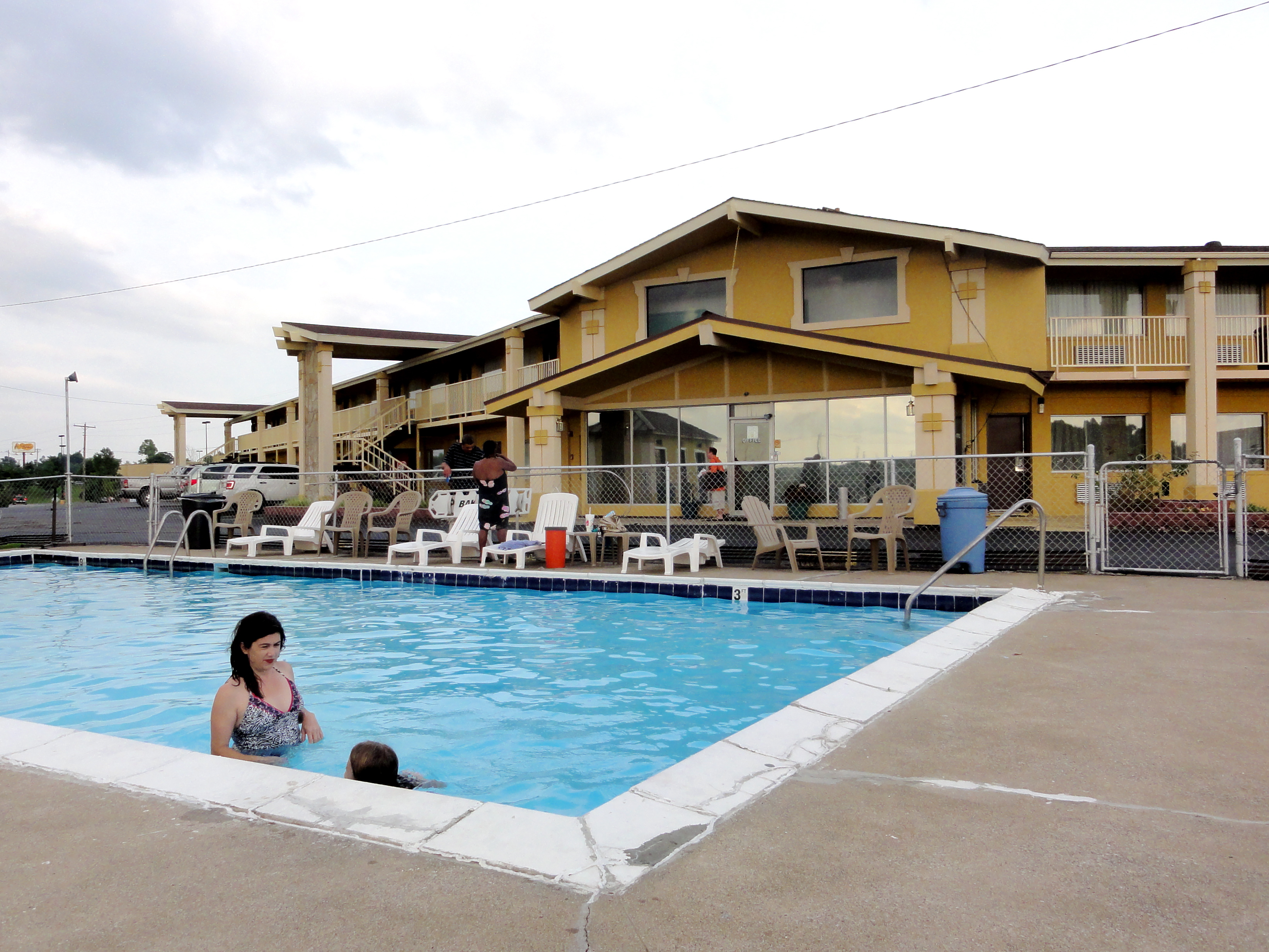
In the Pool at Big Spring Inn

CSXT Q514, Hanson, KY

Sunset Over Denny's

Cathrin 1 of 2

Slaton farm
Topographic Map of Cathlyn Dr, Madisonville, KY, USA
Find elevation by address:

Places near Cathlyn Dr, Madisonville, KY, USA:
15 Sandcut Rd, Madisonville, KY, USA
Madisonville
South Madison Avenue
608 S Madison Ave
285 Carroll Gentry Rd
1515 Heather Pl
1515 Heather Pl
Anne Dr, Madisonville, KY, USA
Johnson St, Earlington, KY, USA
Nebo Rd, Madisonville, KY, USA
6525 Brown Rd
Hanson
20 Eastlawn Rd, Hanson, KY, USA
Stringtown Rd, Sacramento, KY, USA
130 W 2nd St
243 Ky-85
115 Main St
Sacramento
24 Ky-85
75 Main St
Recent Searches:
- Elevation of Steadfast Ct, Daphne, AL, USA
- Elevation of Lagasgasan, X+CQH, Tiaong, Quezon, Philippines
- Elevation of Rojo Ct, Atascadero, CA, USA
- Elevation of Flagstaff Drive, Flagstaff Dr, North Carolina, USA
- Elevation of Avery Ln, Lakeland, FL, USA
- Elevation of Woolwine, VA, USA
- Elevation of Lumagwas Diversified Farmers Multi-Purpose Cooperative, Lumagwas, Adtuyon, RV32+MH7, Pangantucan, Bukidnon, Philippines
- Elevation of Homestead Ridge, New Braunfels, TX, USA
- Elevation of Orchard Road, Orchard Rd, Marlborough, NY, USA
- Elevation of 12 Hutchinson Woods Dr, Fletcher, NC, USA