Elevation of Stove Prairie Rd, Bellvue, CO, USA
Location: United States > Colorado > Bellvue >
Longitude: -105.34585
Latitude: 40.608292
Elevation: 2195m / 7201feet
Barometric Pressure: 78KPa
Elevation Map:
Satellite Map:
Related Photos:
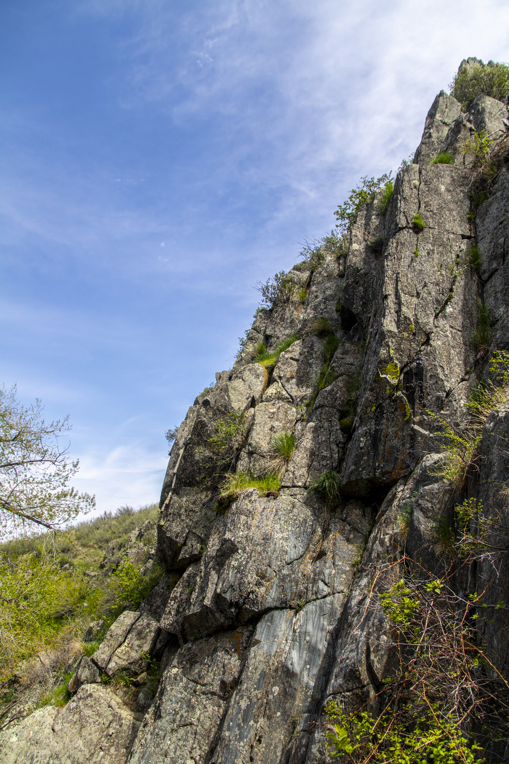
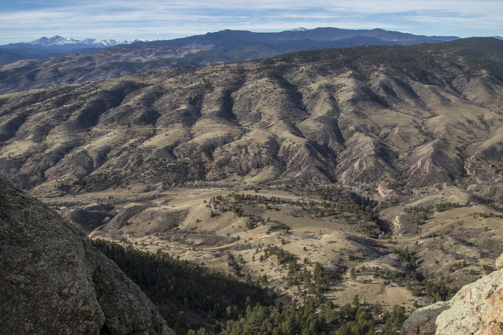
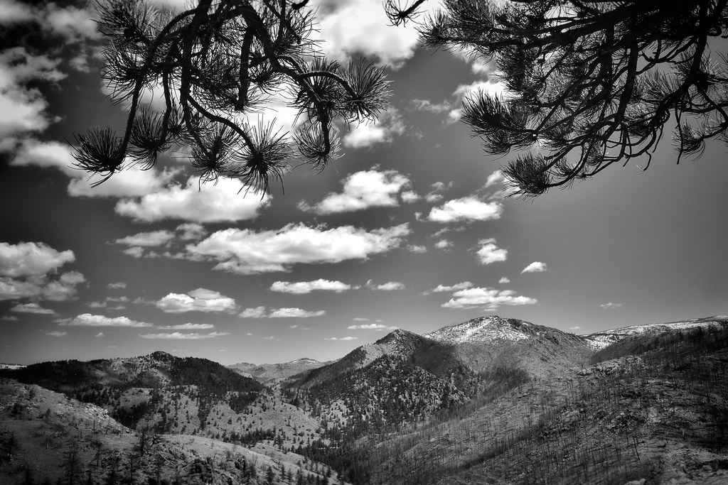
Steep Rocks
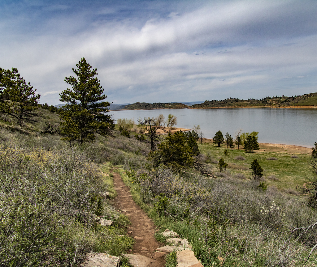
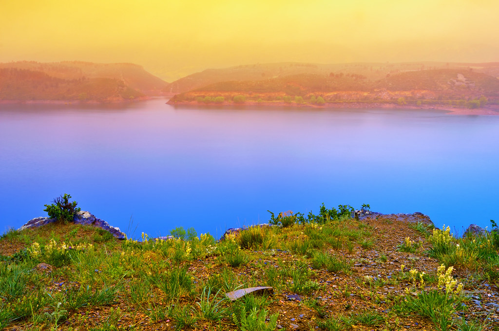
Along the Reservoir

Jewels of the Glen
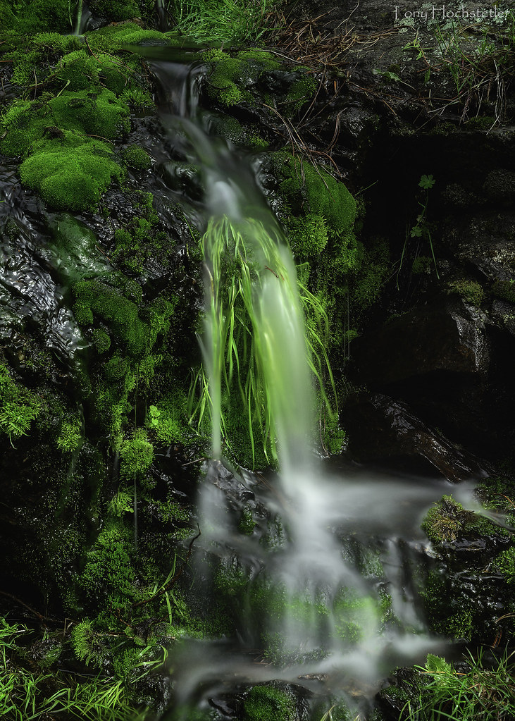
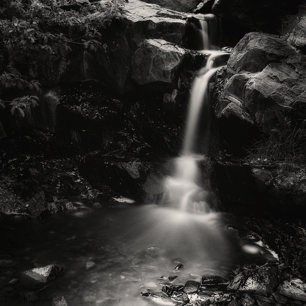
Small Waterfall
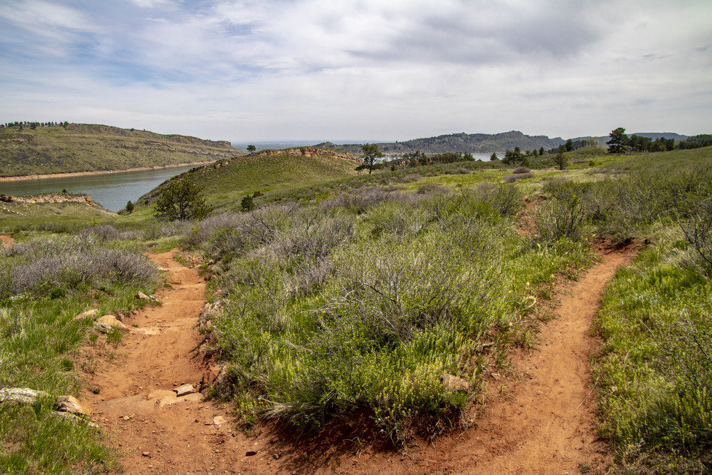
Fork In the Trail
The Horsetooth Reservoir Fantastic
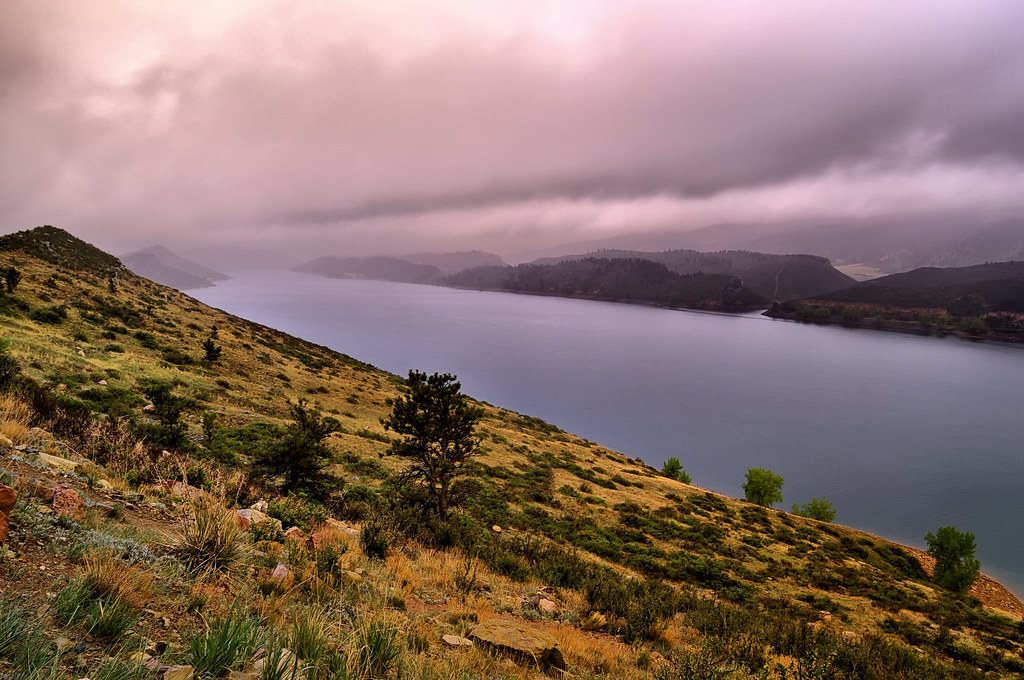
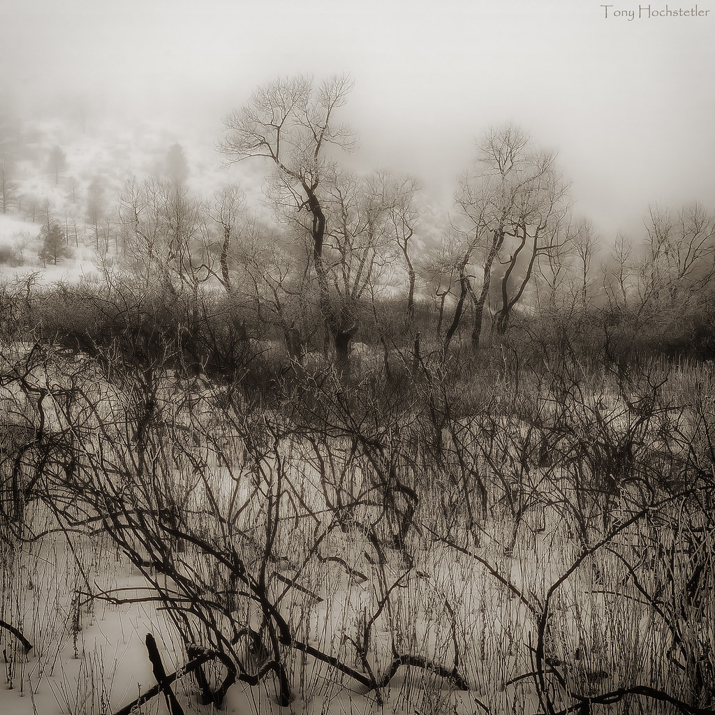
Into the Mist
Water and Moss

Colorado timber
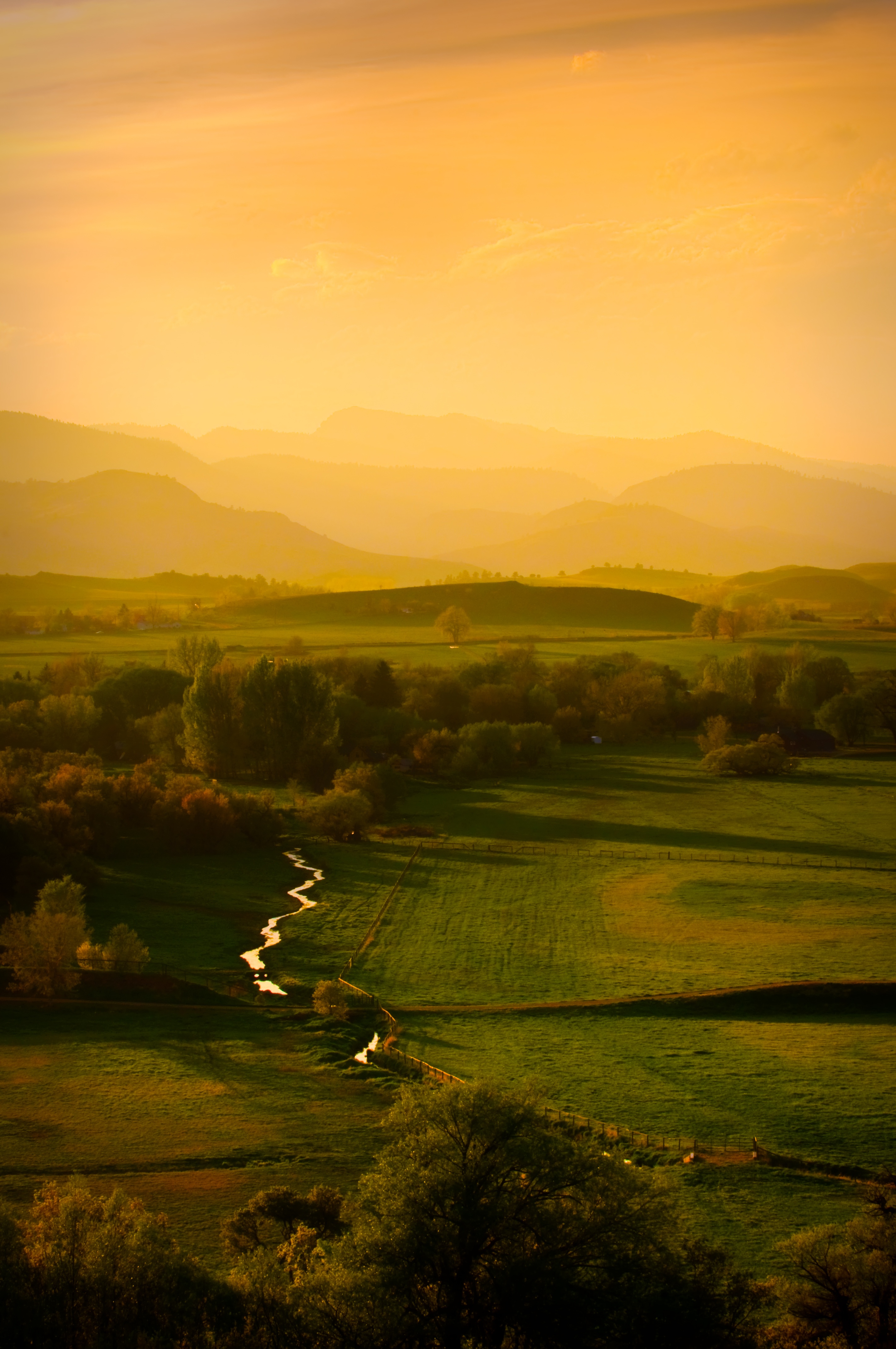
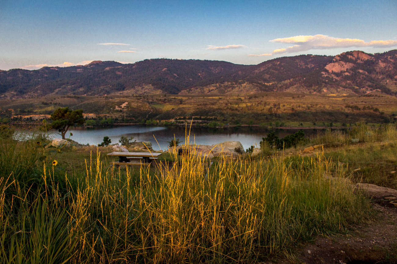
Golden Fields
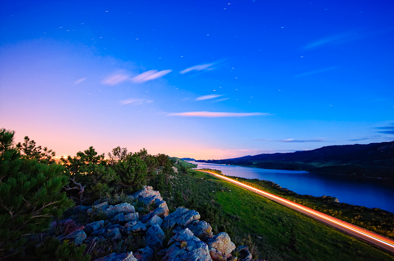
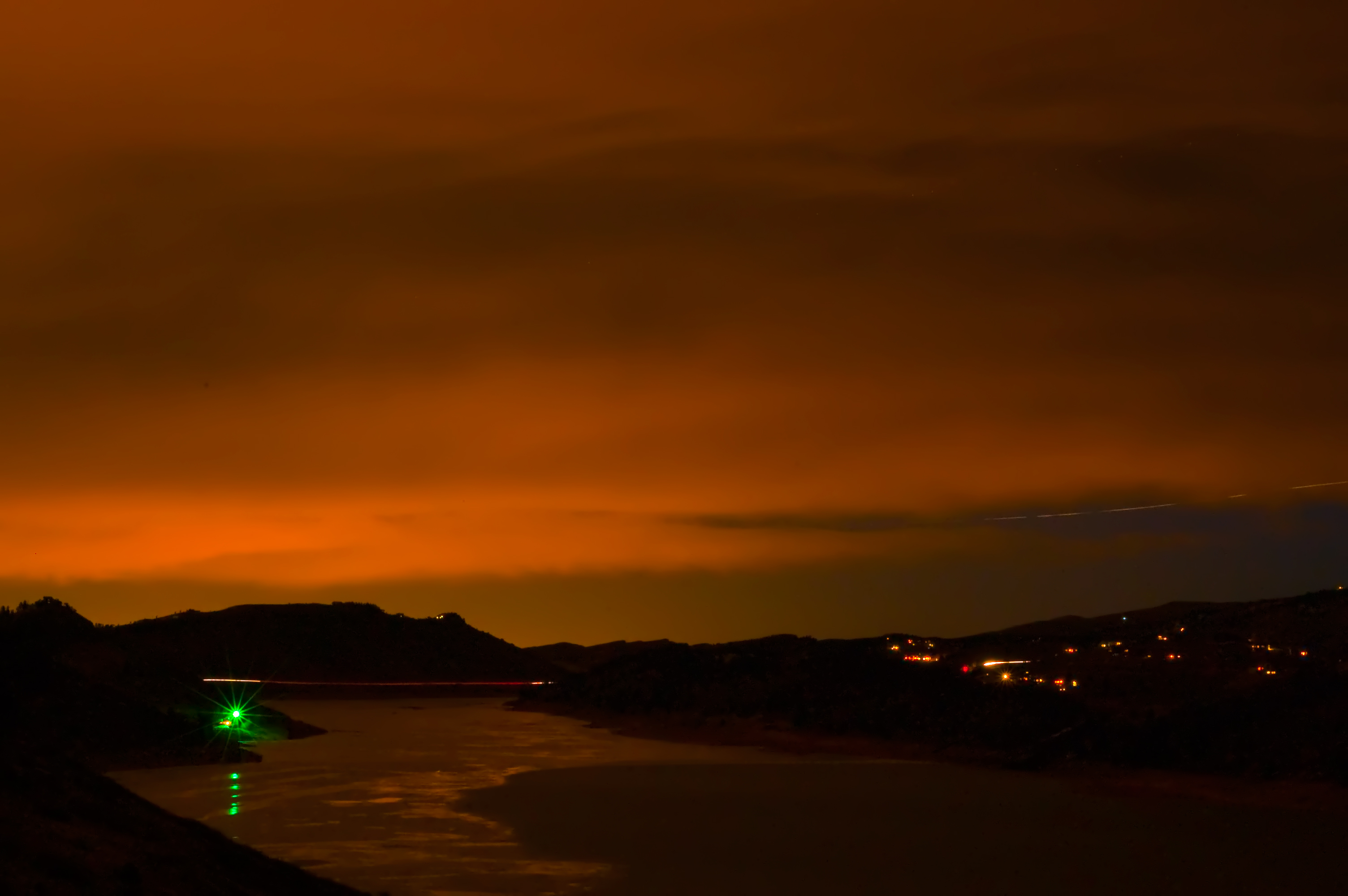
Horsetooth at night
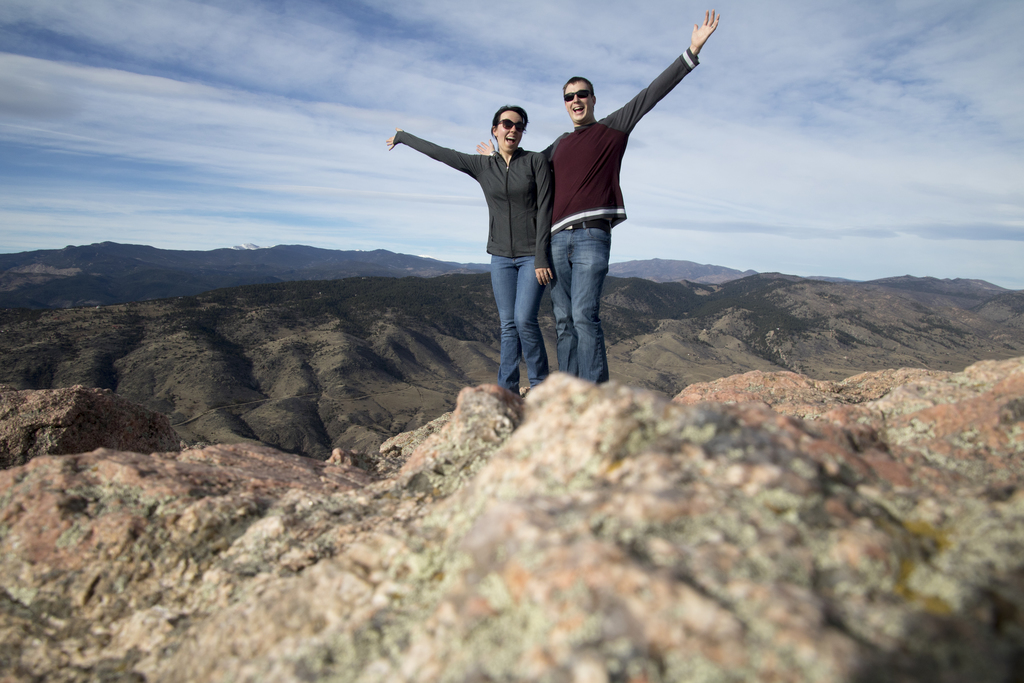
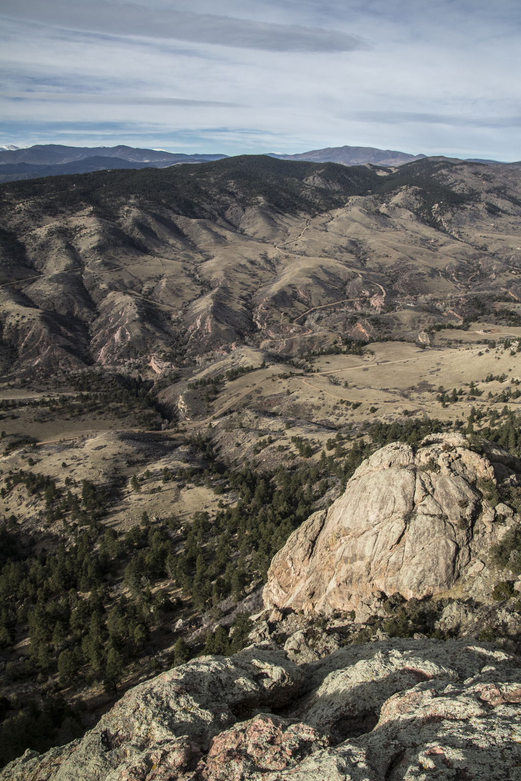
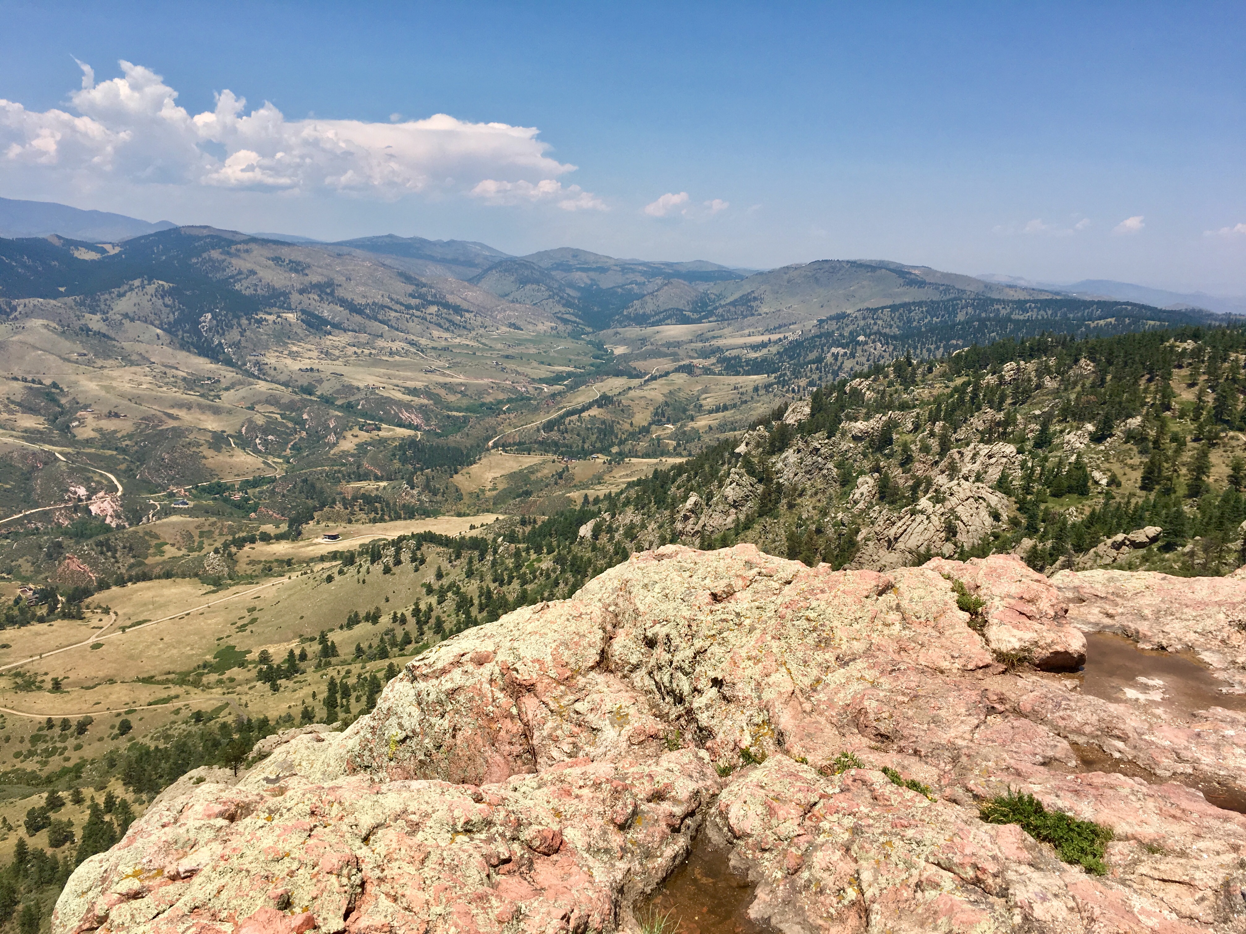
Summited!
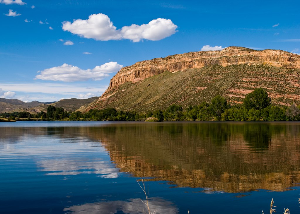
Watson lake
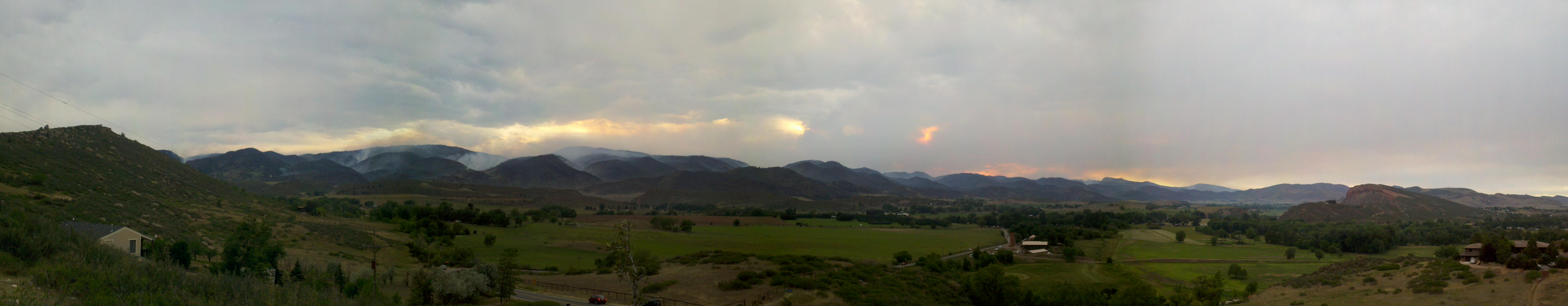
Bobcat Ridge Fire
Our favorite swimming spot, #Satanka Cove, may be completely flooded, but the view from the rocks above makes up for that. (And we already found alternative swimming spot for later.)
Watson Lake HDR
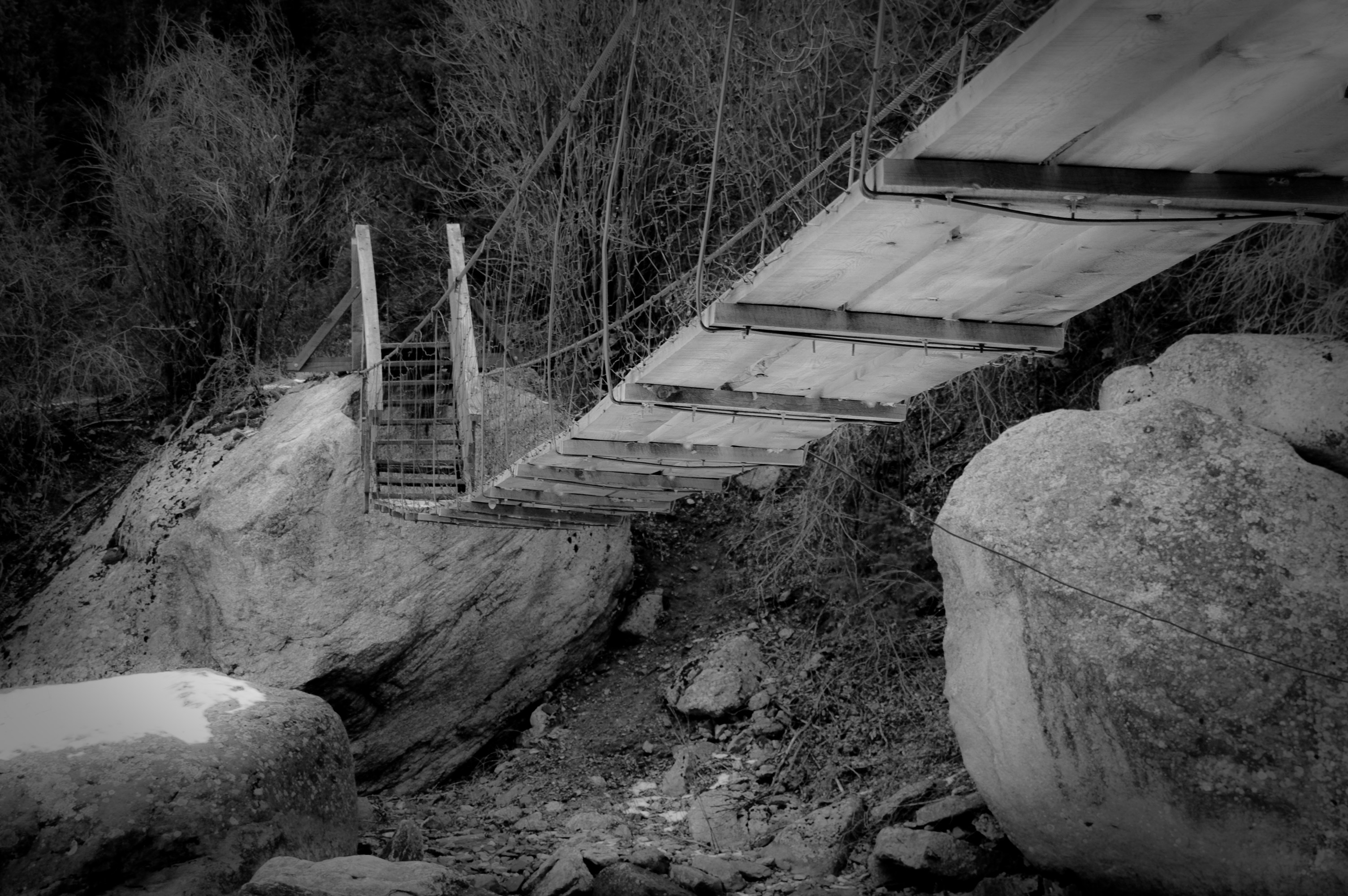
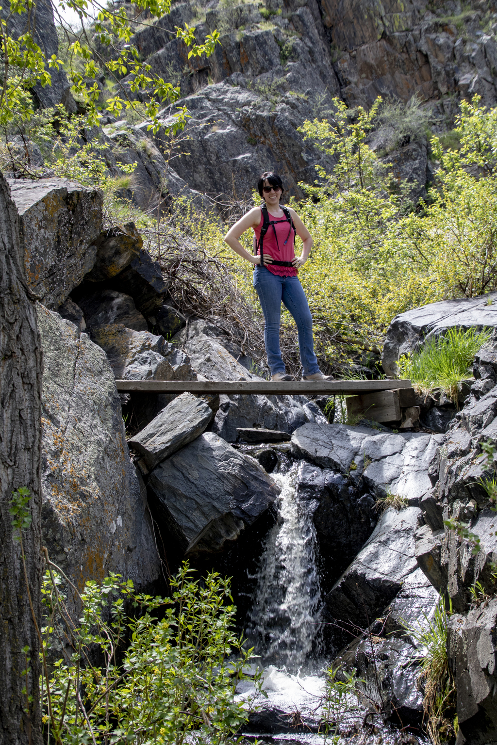
Walking Bridge
Big Boulder

Aspen Leaf
Between the Teeth
View west from Bingham Hill (left-to-right: north end of reservoir, Rist canyon, Poudre Canyon, Greyrock)

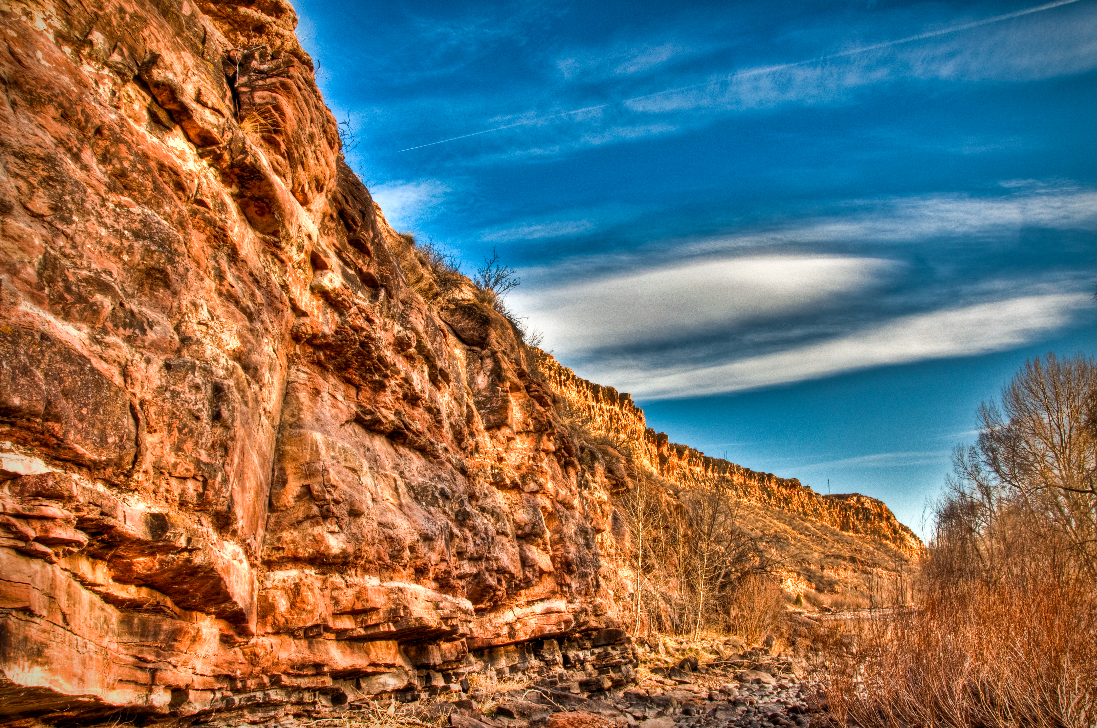
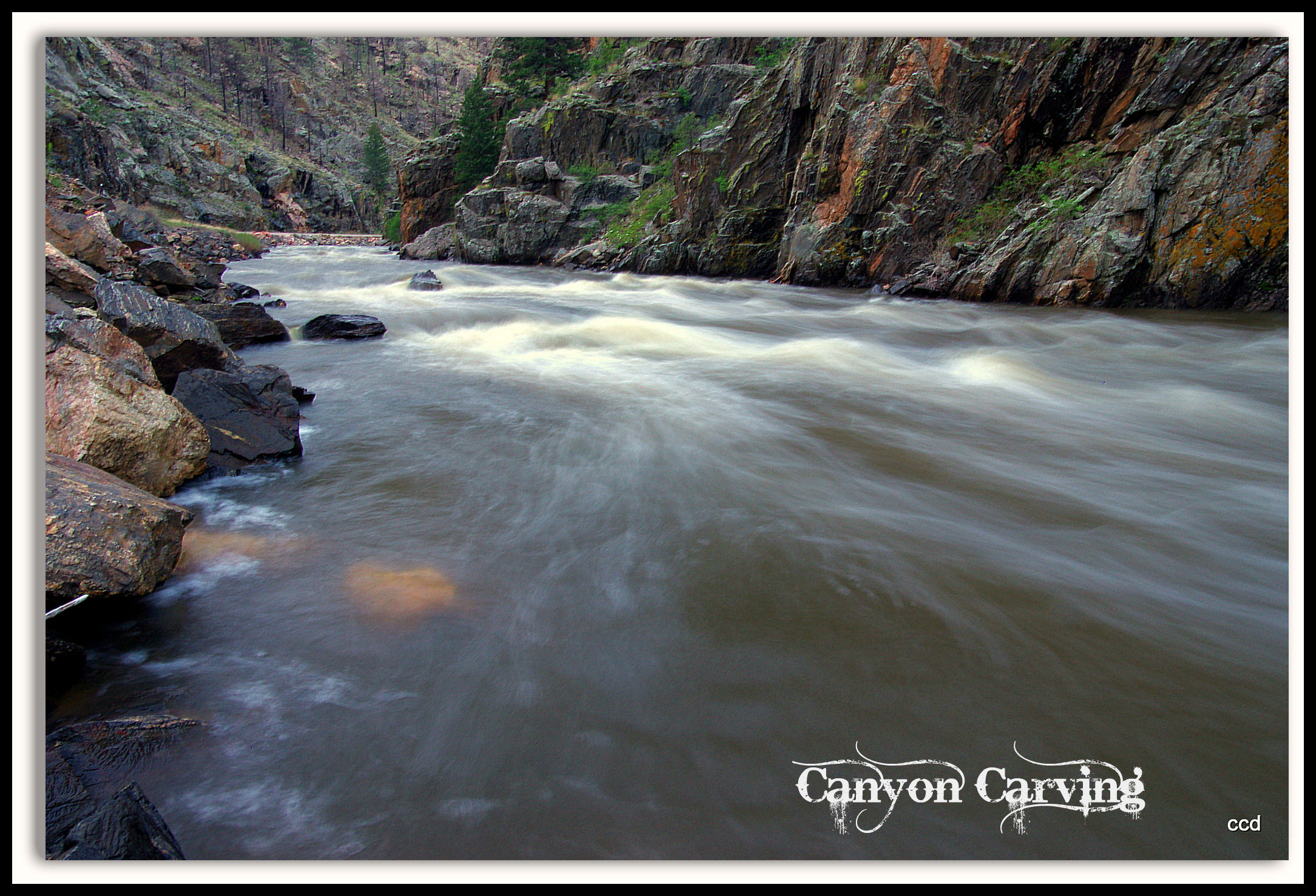
Poudre Canyon
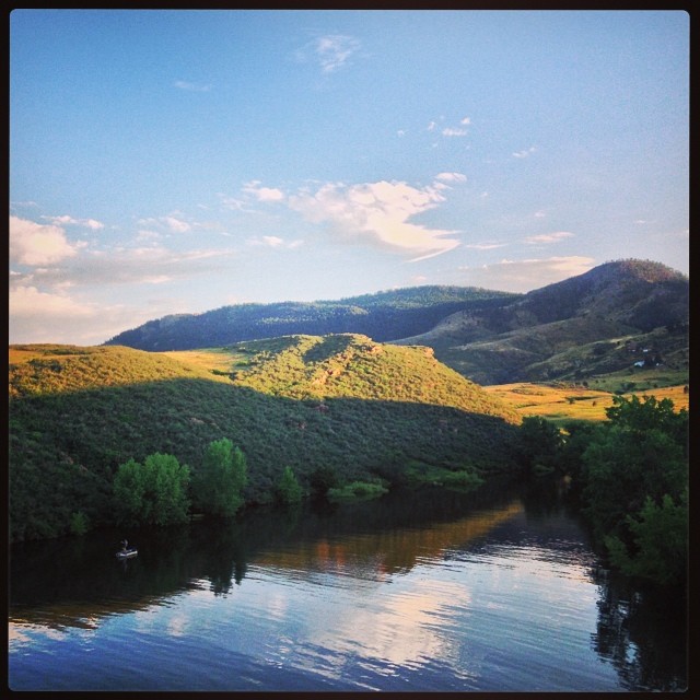
Poudre River
IMG_4354.jpg
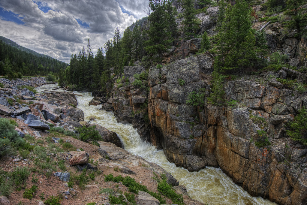
Waterfall - Explored
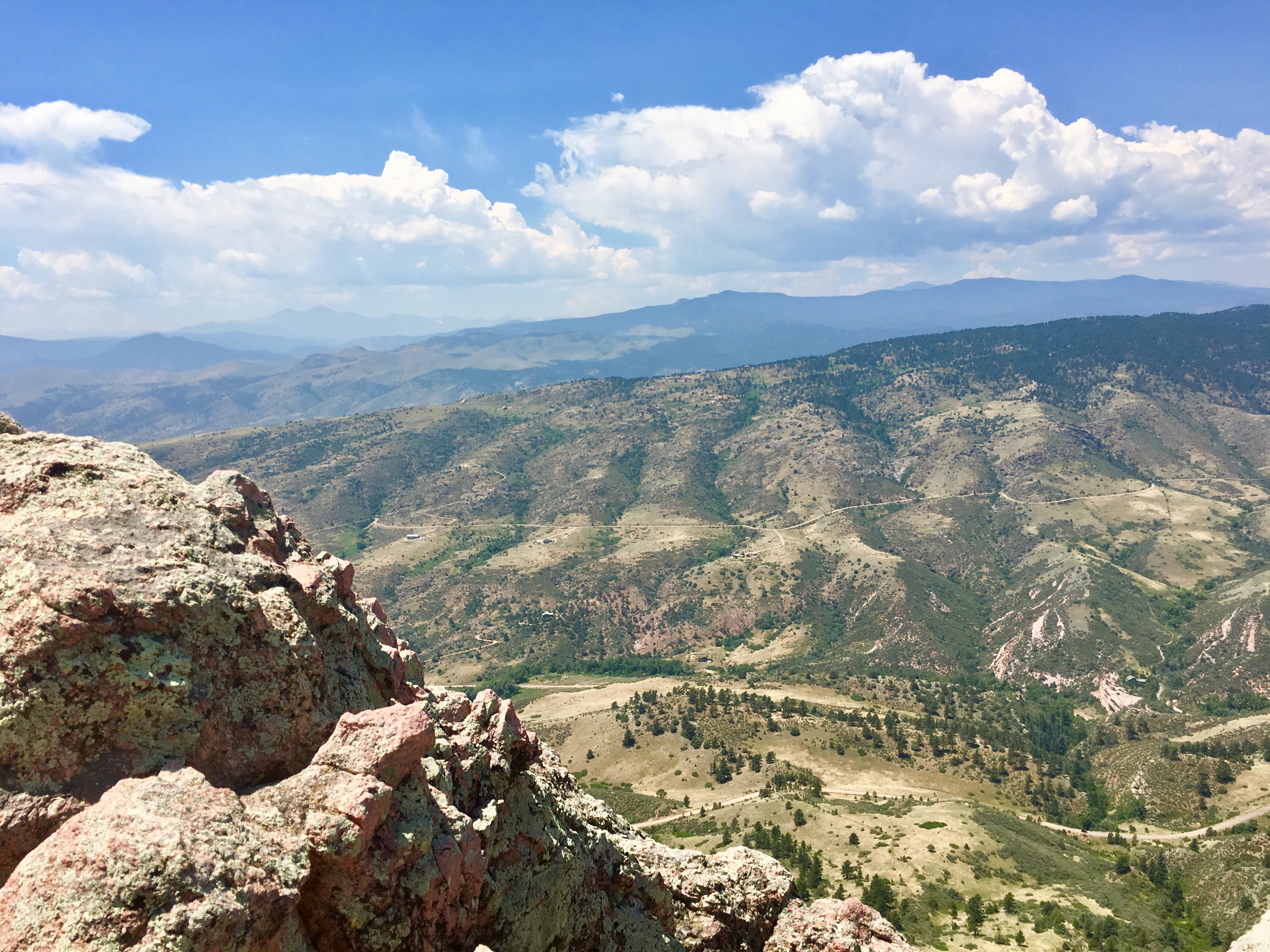
Hiking Horsetooth Mountain (7200’) and a visit to New Belgium Brewery in Ft Collins, CO.
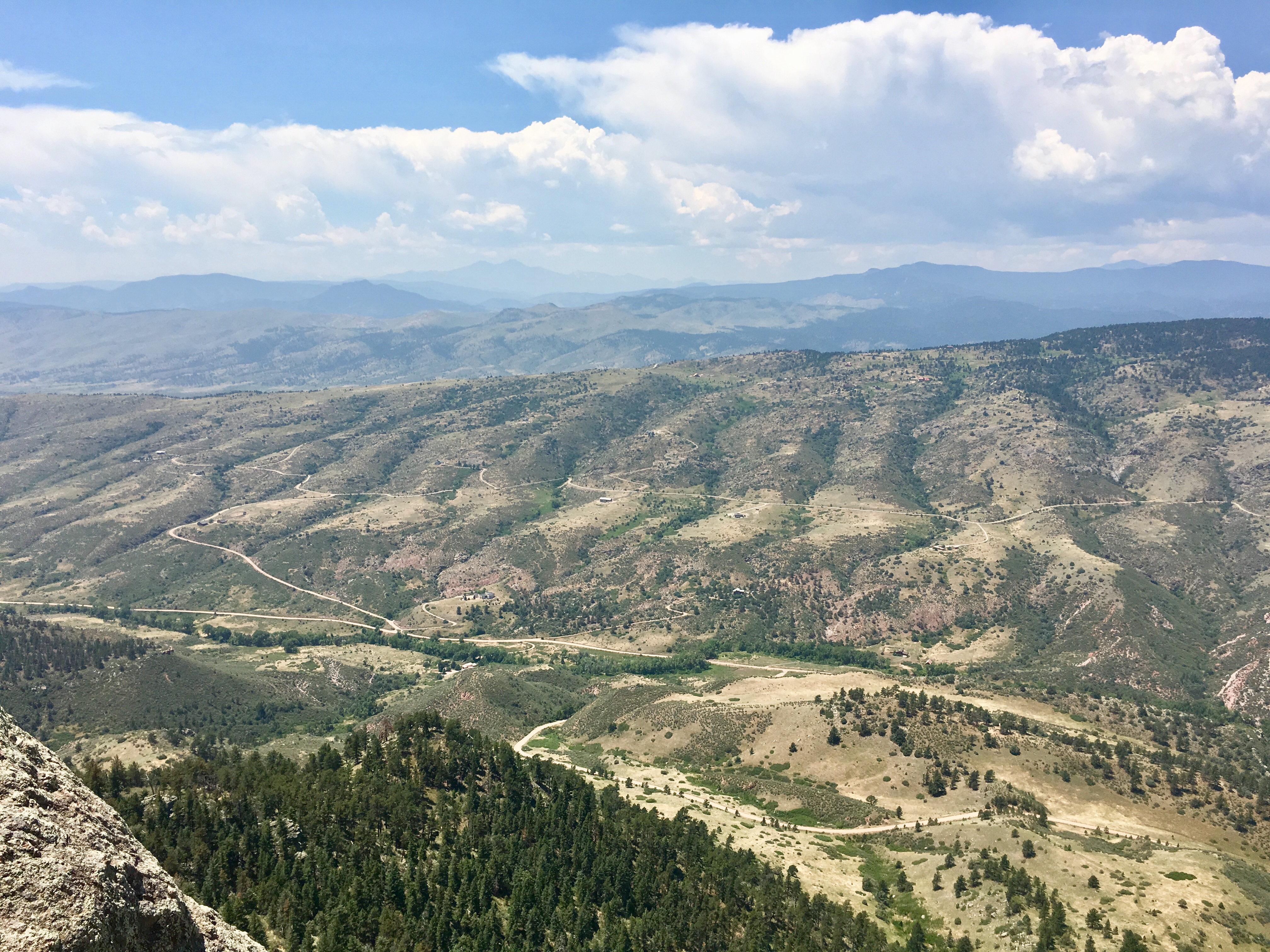
Hiking Horsetooth Mountain (7200’) and a visit to New Belgium Brewery in Ft Collins, CO.
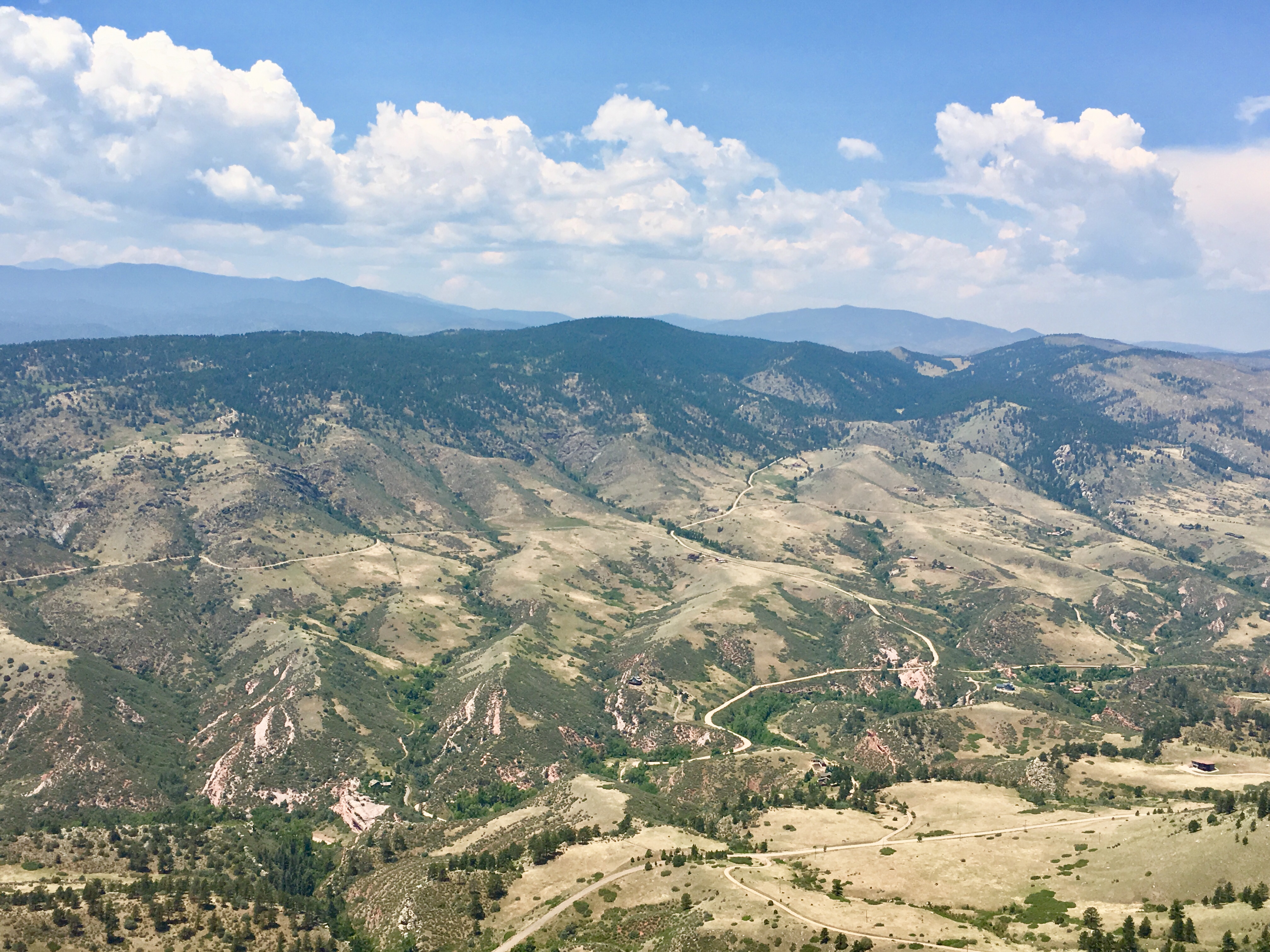
Hiking Horsetooth Mountain (7200’) and a visit to New Belgium Brewery in Ft Collins, CO.
Pingree Park Afternoon
Hiking Horsetooth Mountain (7200’) and a visit to New Belgium Brewery in Ft Collins, CO.
Burnt Plums
Poudre Lower Narrows
Topographic Map of Stove Prairie Rd, Bellvue, CO, USA
Find elevation by address:

Places near Stove Prairie Rd, Bellvue, CO, USA:
Jj9r+vv
9451 Old Flowers Rd
15860 Rist Canyon Rd
9050 Old Flowers Rd
120 Woodlot Ln
500 Dirt Rd
700 Woodlot Ln
3521 Davis Ranch Rd
662 Woodlot Ln
Davis Ranch Road
585 Redstone Dr
1969 Davis Ranch Rd
1970 Davis Ranch Rd
Mishawaka
The Mishawaka
13714 Poudre Canyon Rd
Ansel Watrous Campground
Poudre Park Day Use Area
Poudre Park
11151 Poudre Canyon Rd
Recent Searches:
- Elevation of 72-31 Metropolitan Ave, Middle Village, NY, USA
- Elevation of 76 Metropolitan Ave, Brooklyn, NY, USA
- Elevation of Alisal Rd, Solvang, CA, USA
- Elevation of Vista Blvd, Sparks, NV, USA
- Elevation of 15th Ave SE, St. Petersburg, FL, USA
- Elevation of Beall Road, Beall Rd, Florida, USA
- Elevation of Leguwa, Nepal
- Elevation of County Rd, Enterprise, AL, USA
- Elevation of Kolchuginsky District, Vladimir Oblast, Russia
- Elevation of Shustino, Vladimir Oblast, Russia