Elevation of Stonewall, WV, USA
Location: United States > West Virginia > Wayne County >
Longitude: -82.345189
Latitude: 38.0252599
Elevation: 320m / 1050feet
Barometric Pressure: 98KPa
Elevation Map:
Satellite Map:
Related Photos:

hangin' round
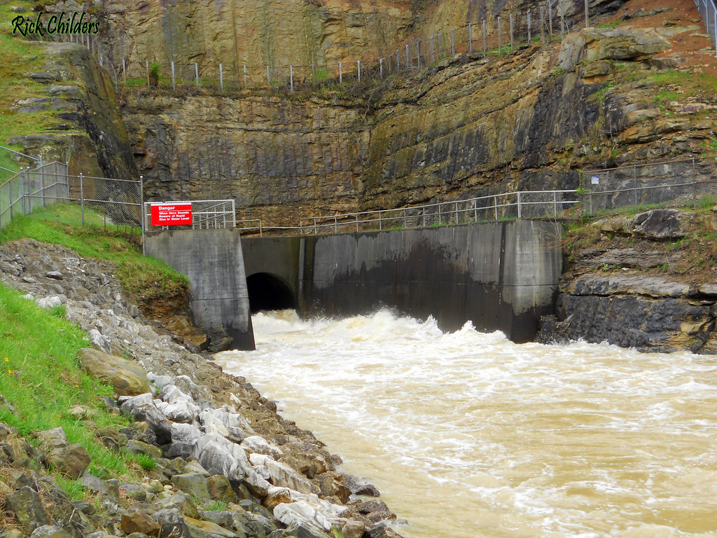
East Lynn Dam Outlet
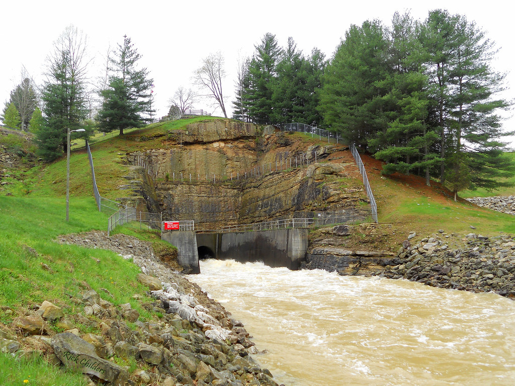
East Lynn Dam
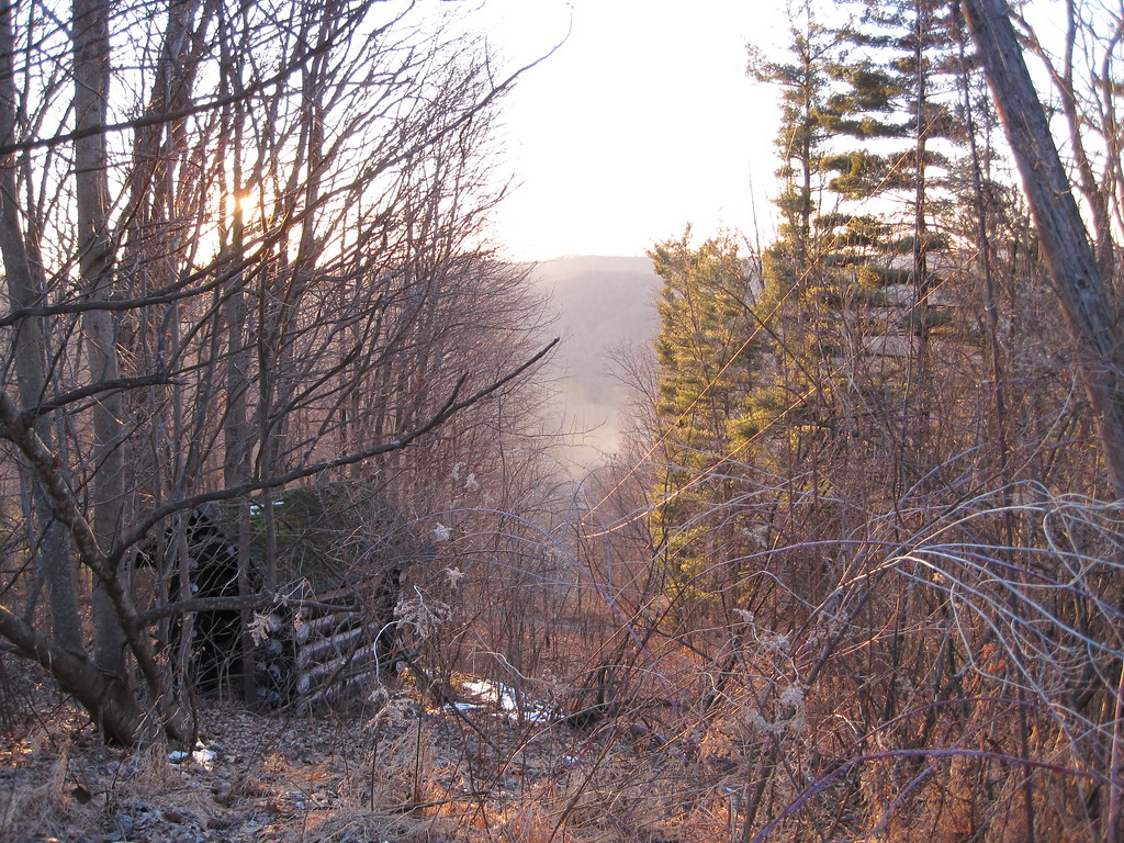
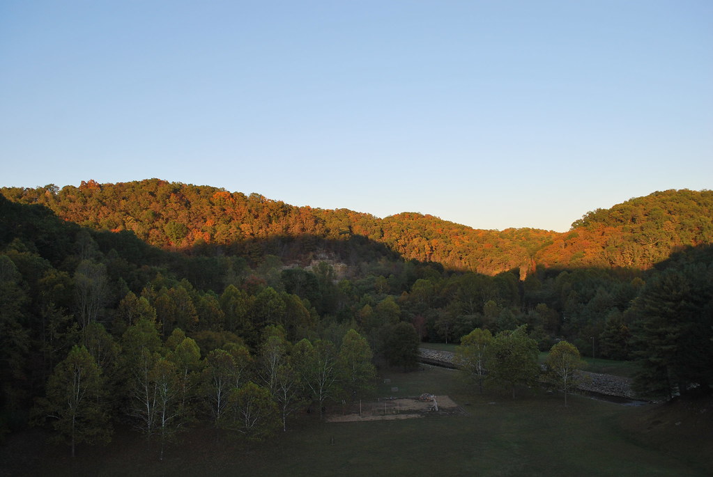
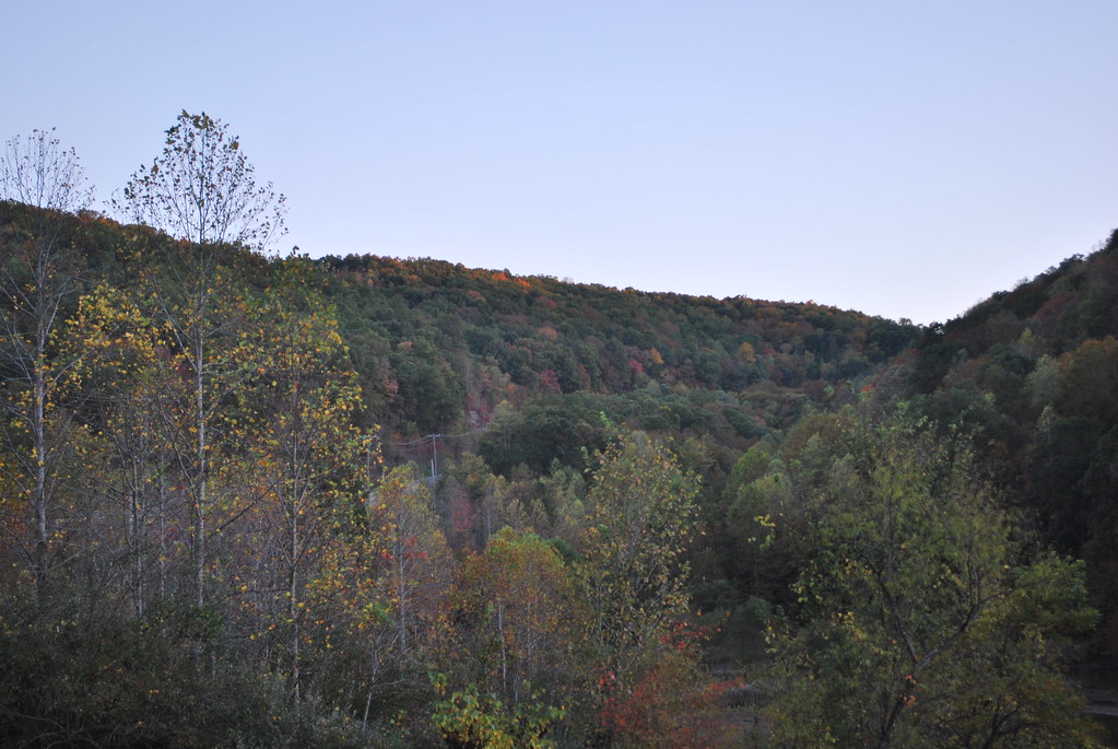
View from Tick Ridge

Bridge 901-06

Bridge 901-07
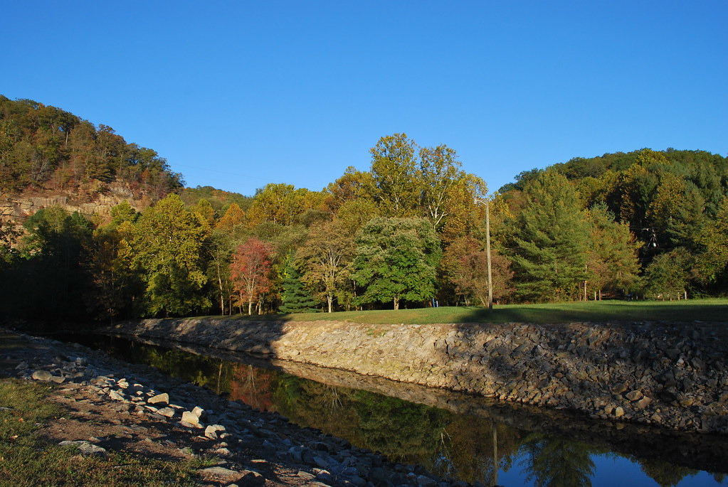
Twelvepole Creek below East Lynn Dam
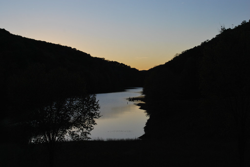
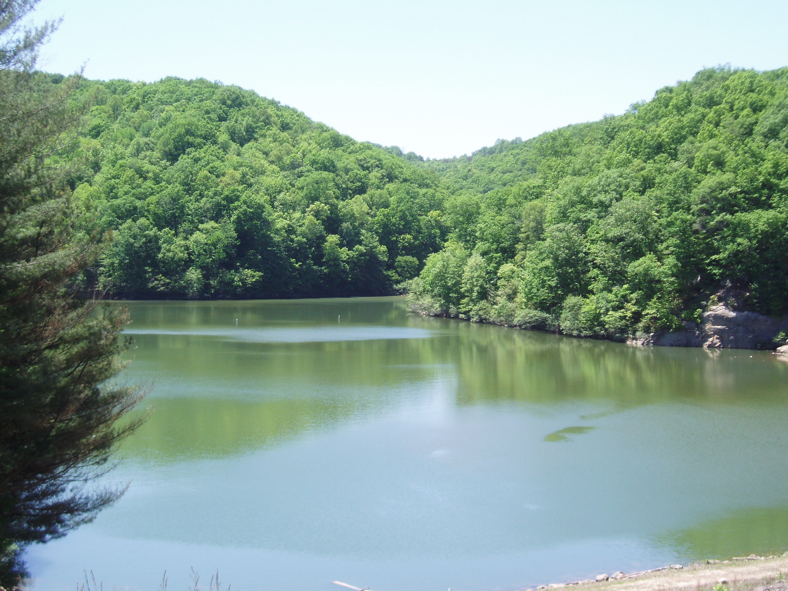
East Lynn Lake
East Lynn Lake: Wayne County: West Virginia
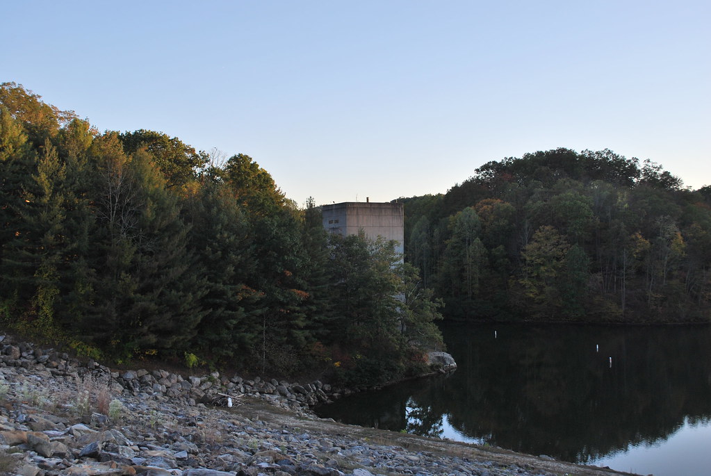
East Lynn Dam
East Lynn Lake: Downstream of Dam
East Lynn Lake
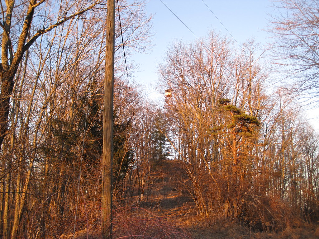
Tick Ridge Fire Tower

Wild and Wonderful; WV
Topographic Map of Stonewall, WV, USA
Find elevation by address:

Places in Stonewall, WV, USA:
Places near Stonewall, WV, USA:
4279 Cabwaylingo Park Rd
2228 Perry Ridge
39 Tick Ridge, Wilsondale, WV, USA
Dunlow
Cove Creek Road
Marina Rd, East Lynn, WV, USA
E Lynn Rd, Kiahsville, WV, USA
Murder Hollow
Radnor
1325 Big Lynn Creek Rd
Campcreek Rd, East Lynn, WV, USA
East Lynn
Rustic Ravines
Genoa
Beech Fork Rd, East Lynn, WV, USA
Wayne County
Beech Fork Road
365 Joe Fork Rd
Family Dollar
Wayne
Recent Searches:
- Elevation of Lampiasi St, Sarasota, FL, USA
- Elevation of Elwyn Dr, Roanoke Rapids, NC, USA
- Elevation of Congressional Dr, Stevensville, MD, USA
- Elevation of Bellview Rd, McLean, VA, USA
- Elevation of Stage Island Rd, Chatham, MA, USA
- Elevation of Shibuya Scramble Crossing, 21 Udagawacho, Shibuya City, Tokyo -, Japan
- Elevation of Jadagoniai, Kaunas District Municipality, Lithuania
- Elevation of Pagonija rock, Kranto 7-oji g. 8"N, Kaunas, Lithuania
- Elevation of Co Rd 87, Jamestown, CO, USA
- Elevation of Tenjo, Cundinamarca, Colombia