Elevation of 39 Tick Ridge, Wilsondale, WV, USA
Location: United States > West Virginia > Wayne County > Stonewall >
Longitude: -82.372886
Latitude: 37.986979
Elevation: 220m / 722feet
Barometric Pressure: 99KPa
Elevation Map:
Satellite Map:
Related Photos:

BNSF in catfish country
Long view to a short tunnel
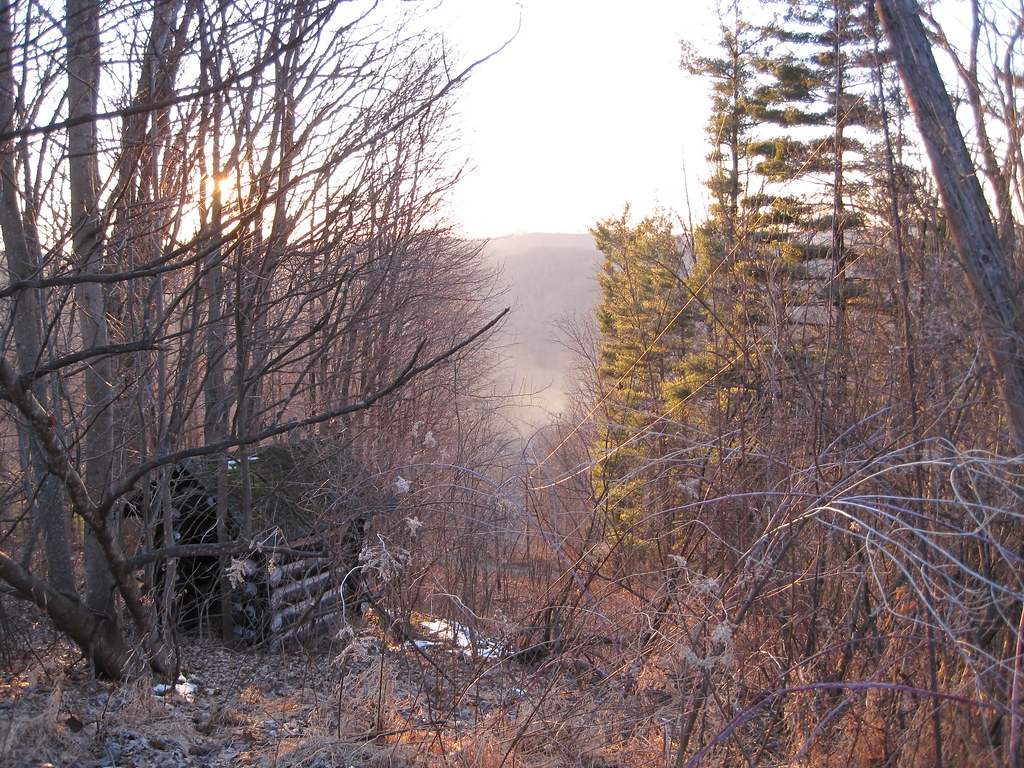
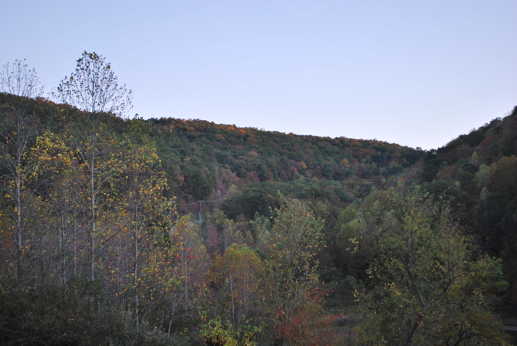
View from Tick Ridge
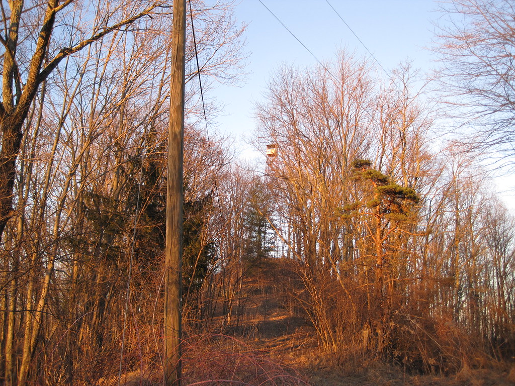
Tick Ridge Fire Tower
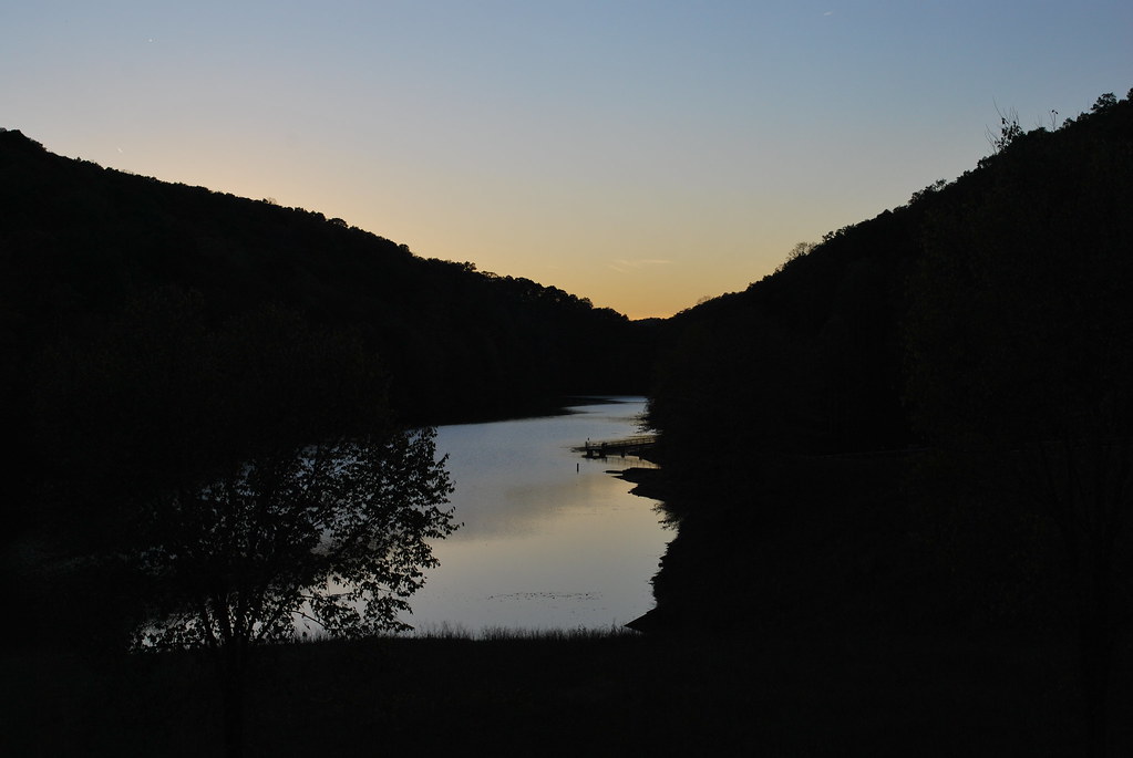
East Lynn Lake
East Lynn Lake

Wild and Wonderful; WV

Reunion_2007 158
NS 80G @ Grey Eagle
Watch out now! Watch them toes!

Getting that elevation
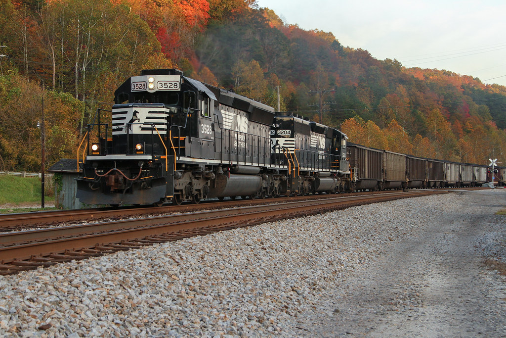
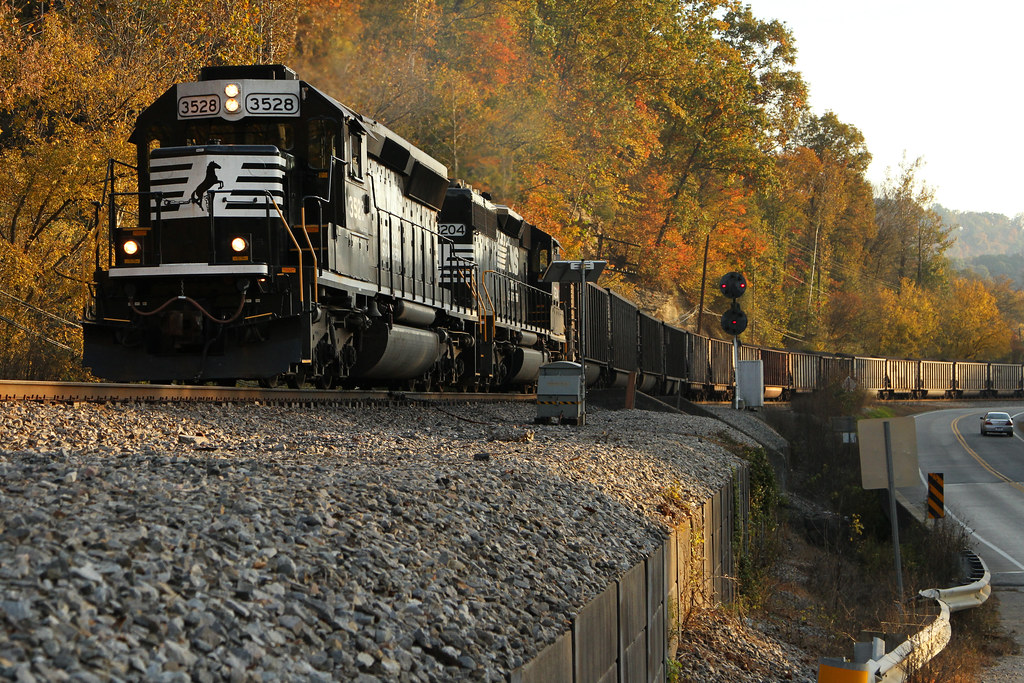
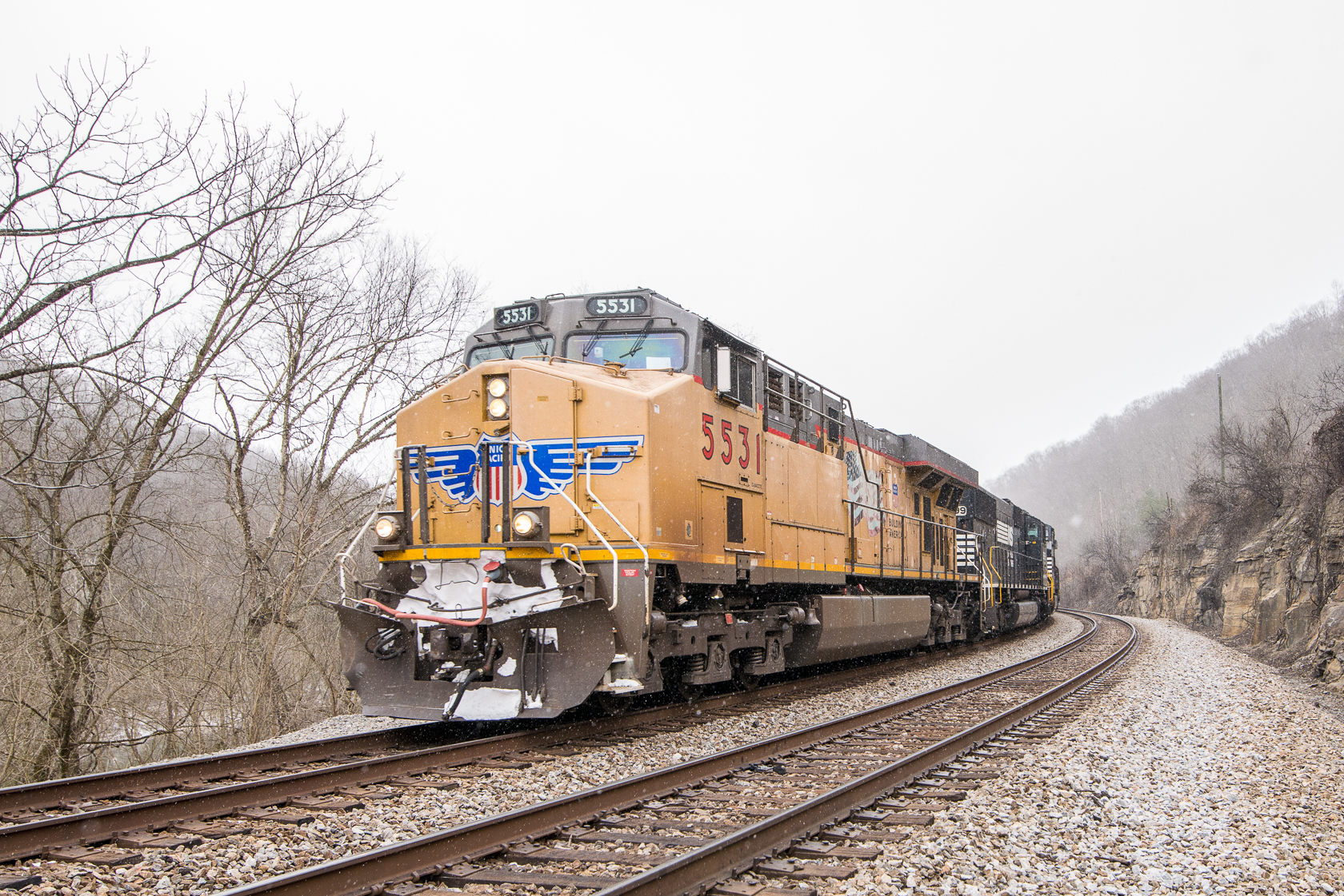
NS 80G @ Crum, WV
Foreign Power

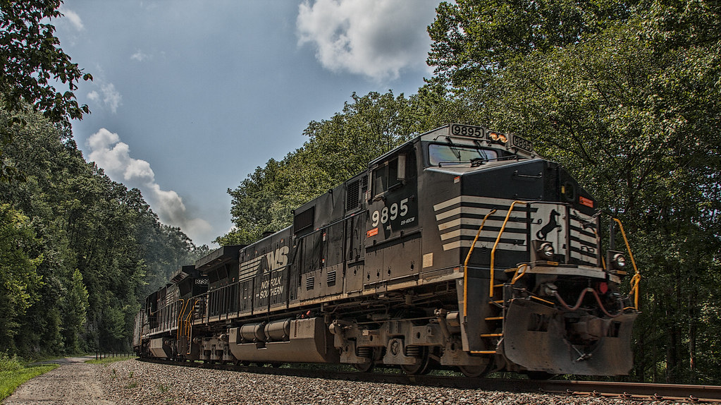
NS 80T

wait for it
Queen's store (Crum, WV)

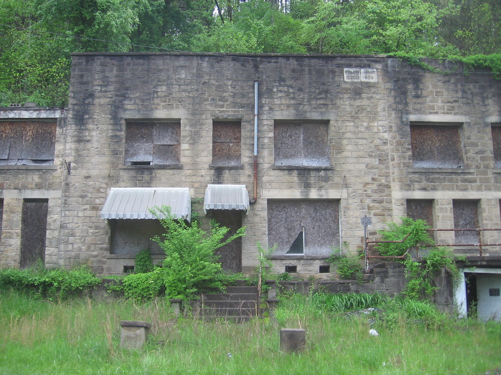
Crum Middle School

Norfolk & Western whistle post
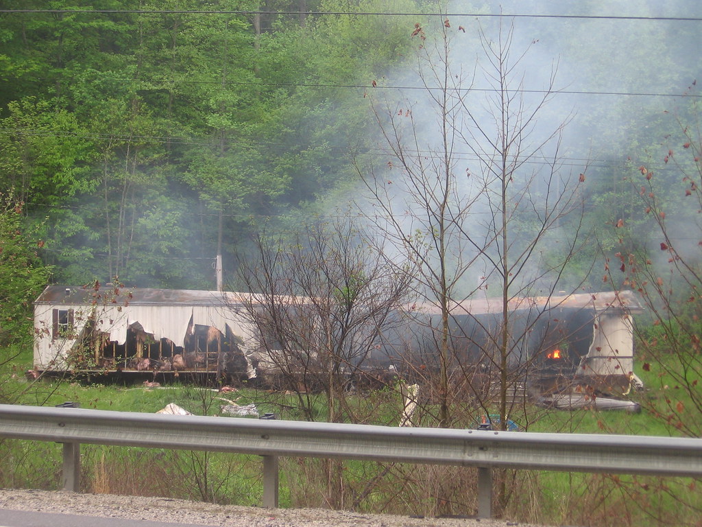
Trailer on fire

Rumblefish II

Out of the depths (?)

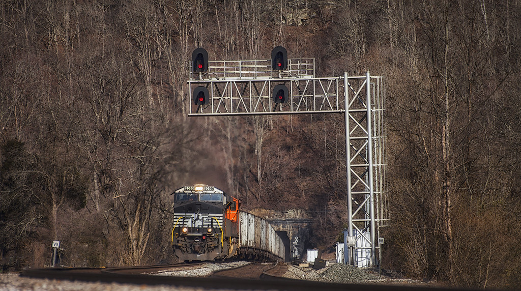
Approaching Big Sandy Tunnel #7, South
Topographic Map of 39 Tick Ridge, Wilsondale, WV, USA
Find elevation by address:

Places near 39 Tick Ridge, Wilsondale, WV, USA:
4279 Cabwaylingo Park Rd
Stonewall
2228 Perry Ridge
Dunlow
Radnor
Marina Rd, East Lynn, WV, USA
Rustic Ravines
Cove Creek Road
E Lynn Rd, Kiahsville, WV, USA
Genoa
1325 Big Lynn Creek Rd
Murder Hollow
East Lynn
Campcreek Rd, East Lynn, WV, USA
365 Joe Fork Rd
Wayne County
Beech Fork Rd, East Lynn, WV, USA
Wayne
Beech Fork Road
Family Dollar
Recent Searches:
- Elevation of Vista Blvd, Sparks, NV, USA
- Elevation of 15th Ave SE, St. Petersburg, FL, USA
- Elevation of Beall Road, Beall Rd, Florida, USA
- Elevation of Leguwa, Nepal
- Elevation of County Rd, Enterprise, AL, USA
- Elevation of Kolchuginsky District, Vladimir Oblast, Russia
- Elevation of Shustino, Vladimir Oblast, Russia
- Elevation of Lampiasi St, Sarasota, FL, USA
- Elevation of Elwyn Dr, Roanoke Rapids, NC, USA
- Elevation of Congressional Dr, Stevensville, MD, USA