Elevation of Big Lynn Creek Rd, Genoa, WV, USA
Location: United States > West Virginia > Wayne County > Stonewall > Genoa >
Longitude: -82.403179
Latitude: 38.147596
Elevation: 198m / 650feet
Barometric Pressure: 99KPa
Elevation Map:
Satellite Map:
Related Photos:
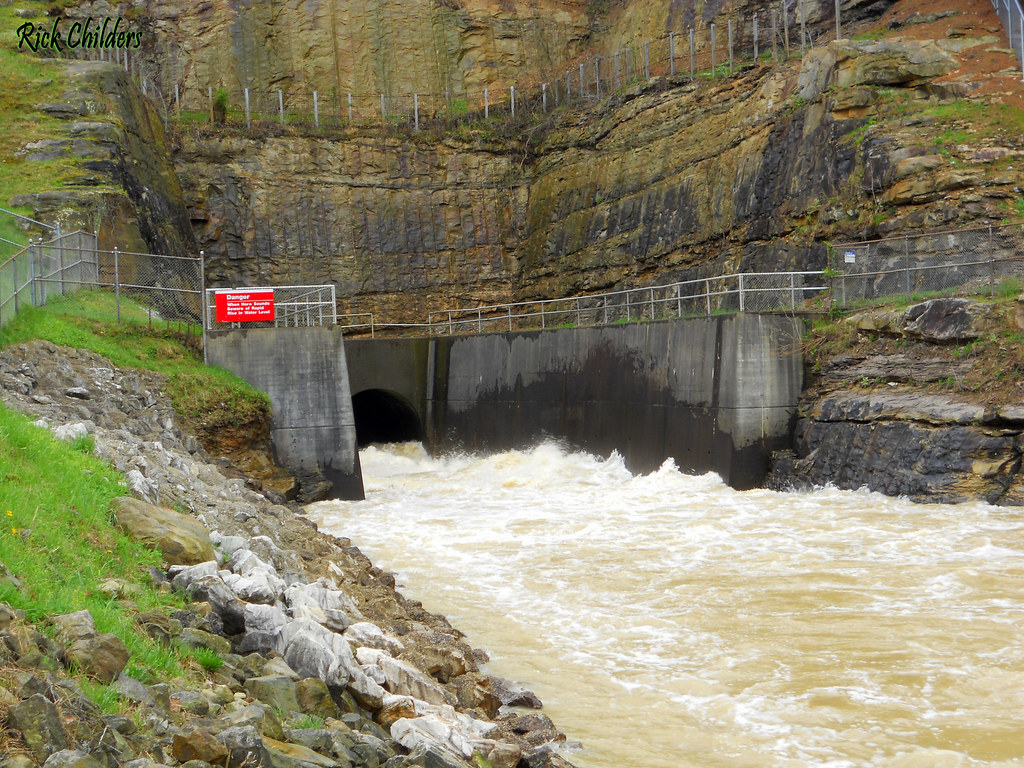
East Lynn Dam Outlet

hangin' round
East Lynn Dam

Bridge 901-06

Bridge 901-07
Twelvepole Creek below East Lynn Dam
East Lynn Lake
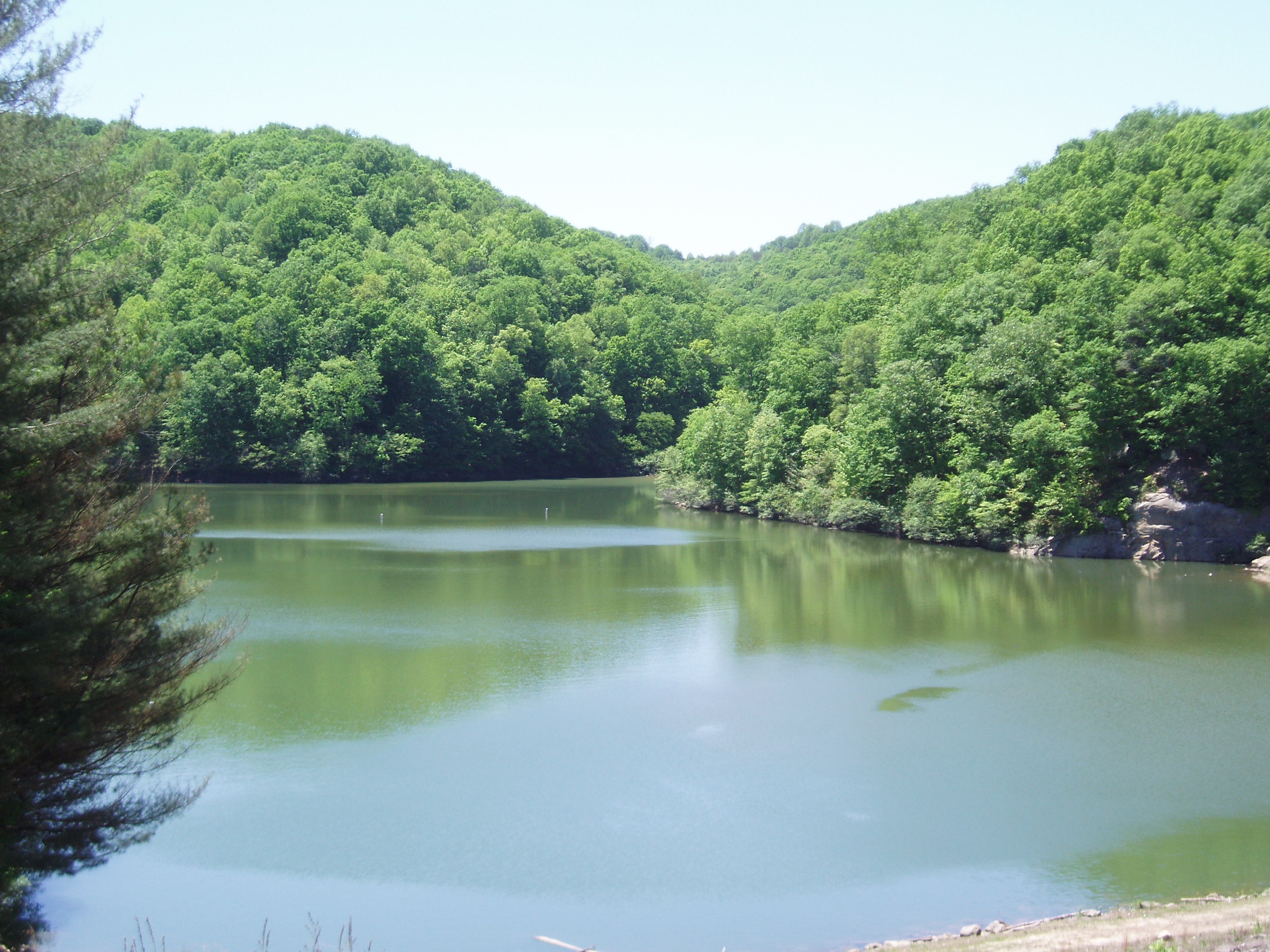
East Lynn Lake: Wayne County: West Virginia
Beech Fork
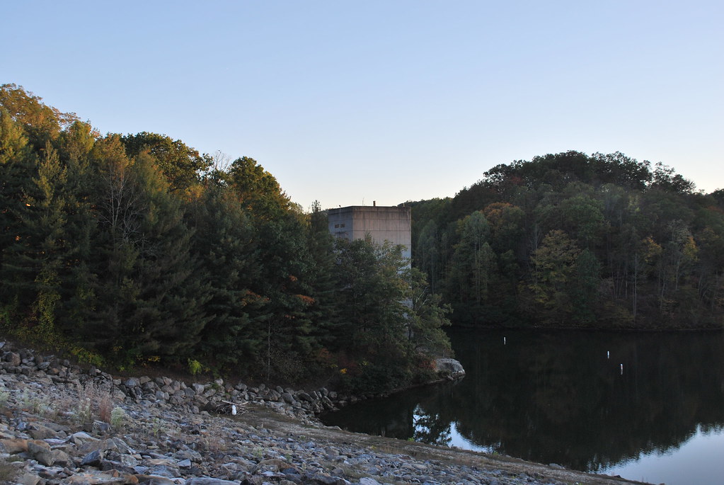
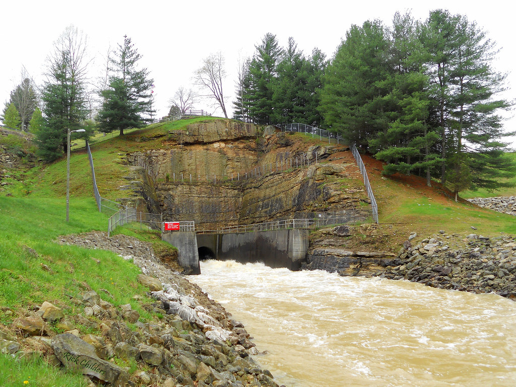
East Lynn Dam

Bridge 898-01
East Lynn Lake: Downstream of Dam
Beech Fork State Park
East Lynn Lake
Topographic Map of Big Lynn Creek Rd, Genoa, WV, USA
Find elevation by address:

Places near Big Lynn Creek Rd, Genoa, WV, USA:
East Lynn
Marina Rd, East Lynn, WV, USA
Genoa
Wayne County
Wayne
Radnor
Campcreek Rd, East Lynn, WV, USA
Rustic Ravines
Murder Hollow
101 Expo St
Union
Beech Fork Rd, East Lynn, WV, USA
Beech Fork Road
Dunlow
Stonewall
1664 Beech Fork Rd
Butler
Cove Creek Road
E Lynn Rd, Kiahsville, WV, USA
39 Tick Ridge, Wilsondale, WV, USA
Recent Searches:
- Elevation of Rojo Ct, Atascadero, CA, USA
- Elevation of Flagstaff Drive, Flagstaff Dr, North Carolina, USA
- Elevation of Avery Ln, Lakeland, FL, USA
- Elevation of Woolwine, VA, USA
- Elevation of Lumagwas Diversified Farmers Multi-Purpose Cooperative, Lumagwas, Adtuyon, RV32+MH7, Pangantucan, Bukidnon, Philippines
- Elevation of Homestead Ridge, New Braunfels, TX, USA
- Elevation of Orchard Road, Orchard Rd, Marlborough, NY, USA
- Elevation of 12 Hutchinson Woods Dr, Fletcher, NC, USA
- Elevation of Holloway Ave, San Francisco, CA, USA
- Elevation of Norfolk, NY, USA