Elevation of Stilesville, IN, USA
Location: United States > Indiana > Hendricks County > Franklin Township >
Longitude: -86.633613
Latitude: 39.6383798
Elevation: 245m / 804feet
Barometric Pressure: 98KPa
Elevation Map:
Satellite Map:
Related Photos:

Fire Hydrant

Sunny Day
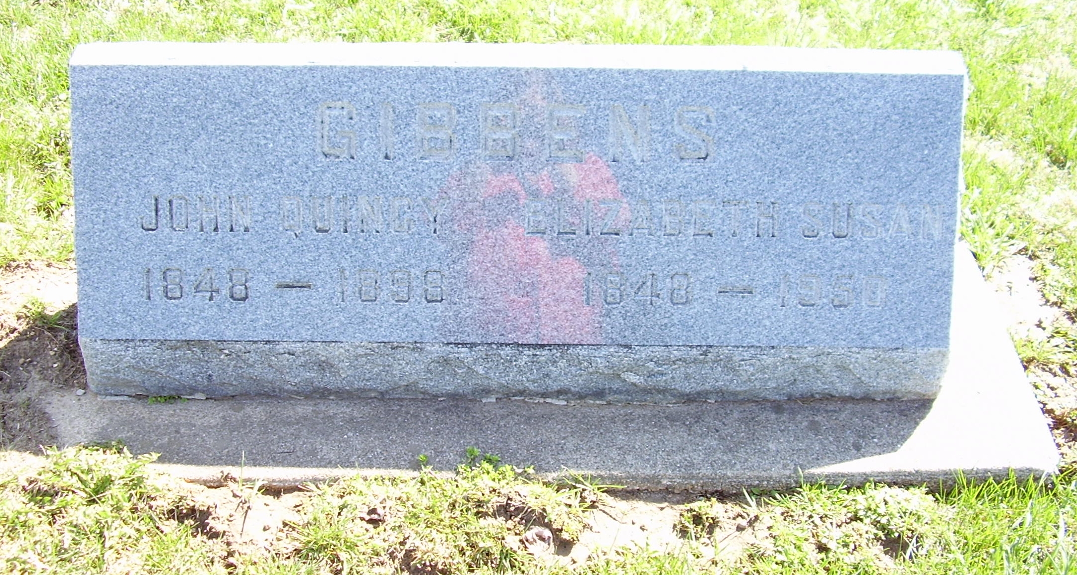
STC GIBBENS John Q Elizabeth S view 2 LG

All Lined Up
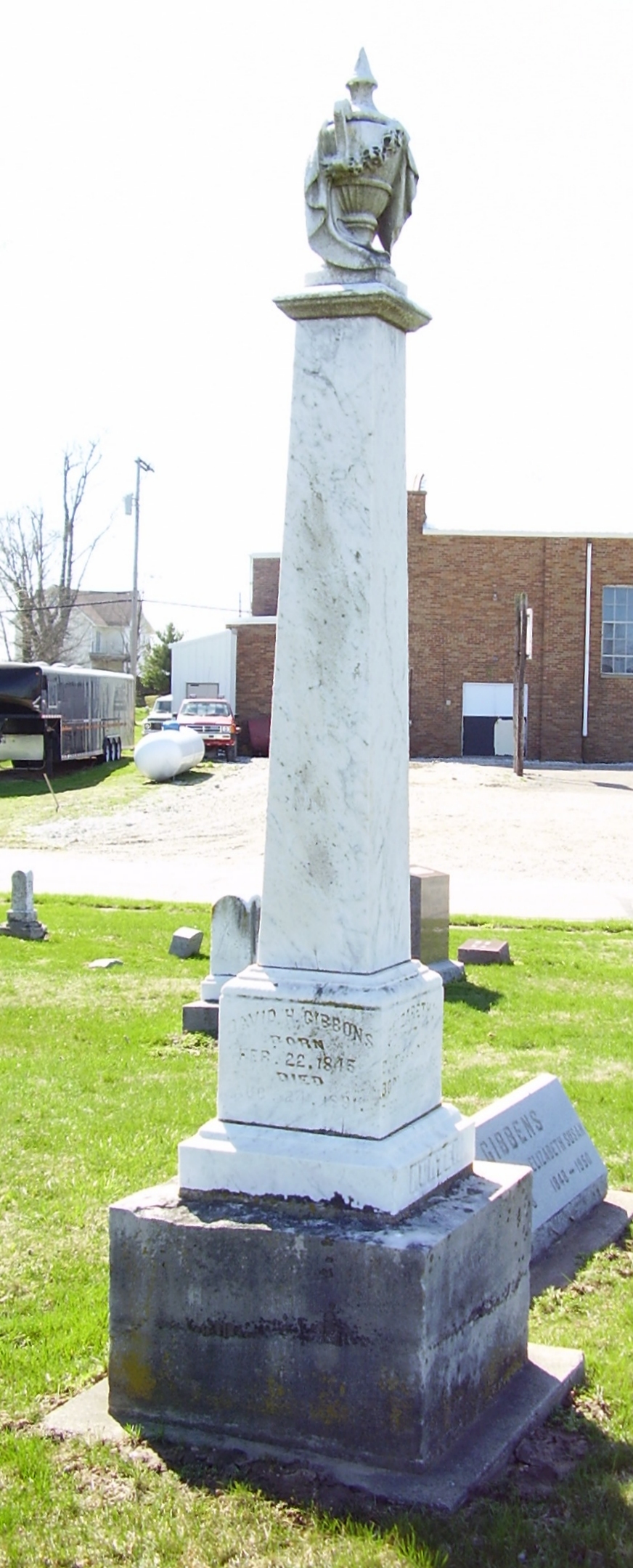
STC GIBBONS David HUNTER LG

STC Distance View LG
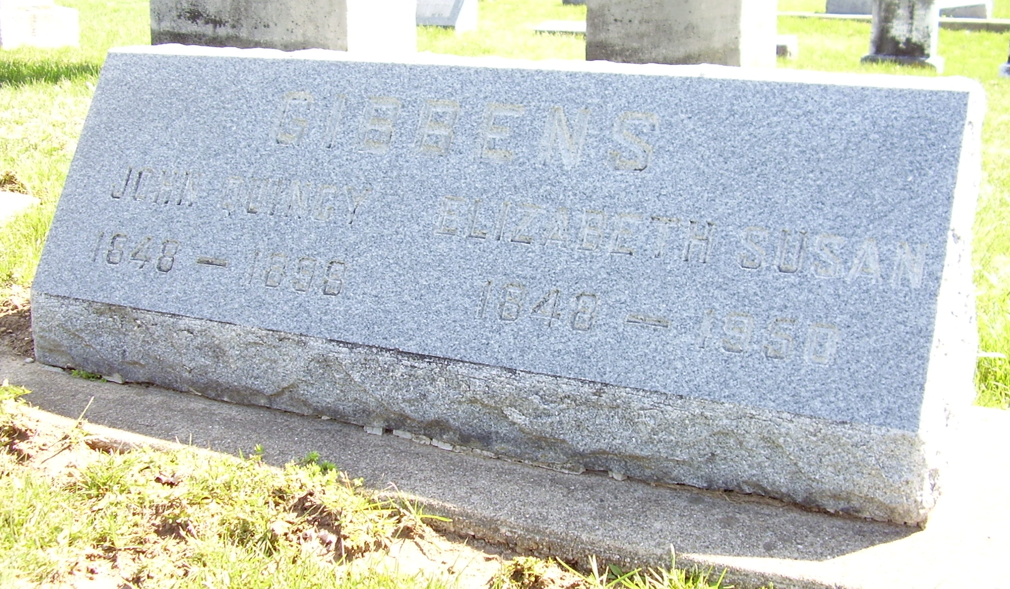
STC GIBBENS John Q Elizabeth S LG

They Trashed The Motel
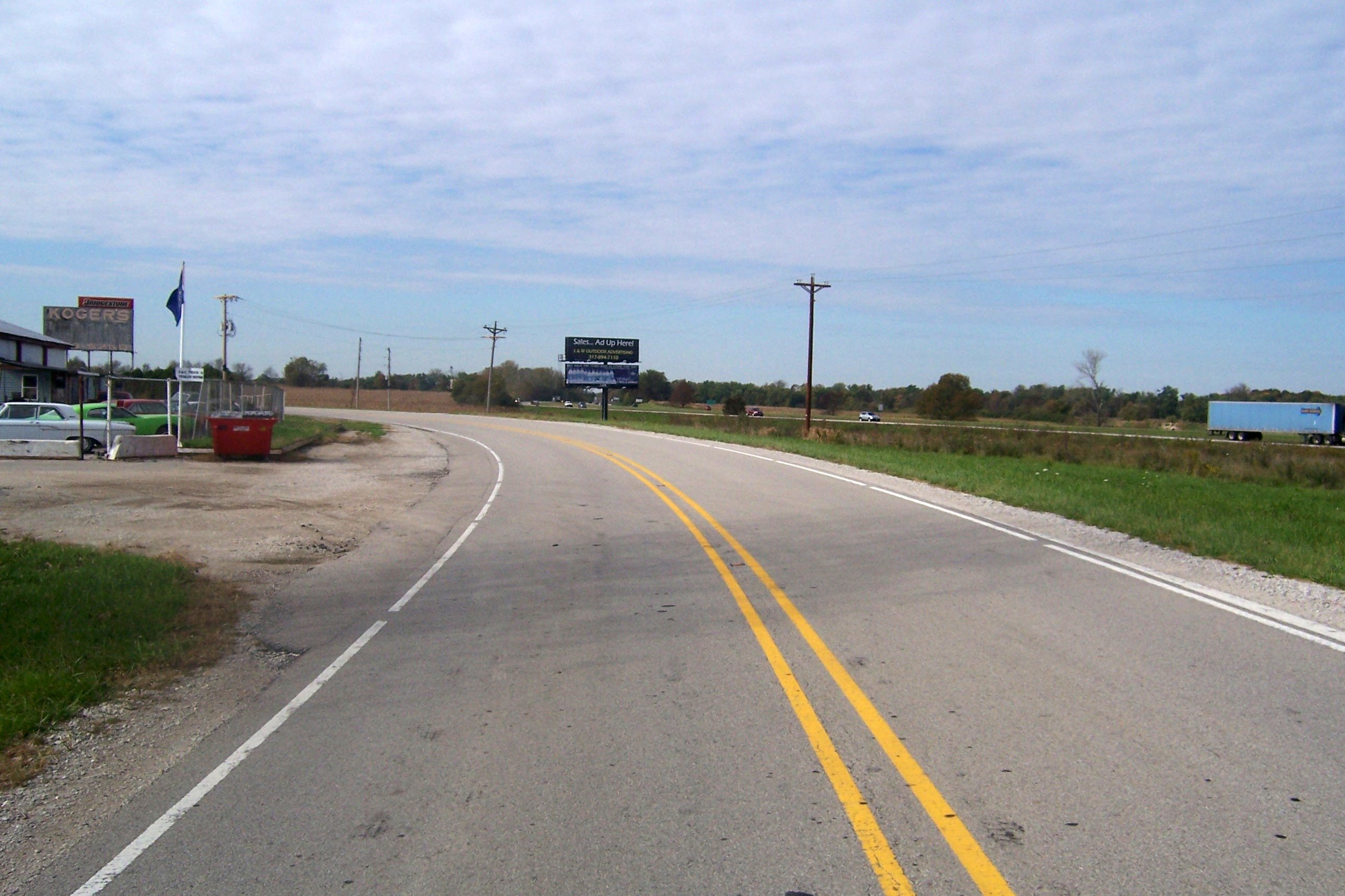
A view of I-70
Prosperity once passed this way along the Ernie Pyle State Highway

DSC03462.jpg

DSC03469.jpg

Ahhhhh....
Coatsville Lumber Fire
Winter Farm
03-17-2009 Training Burn
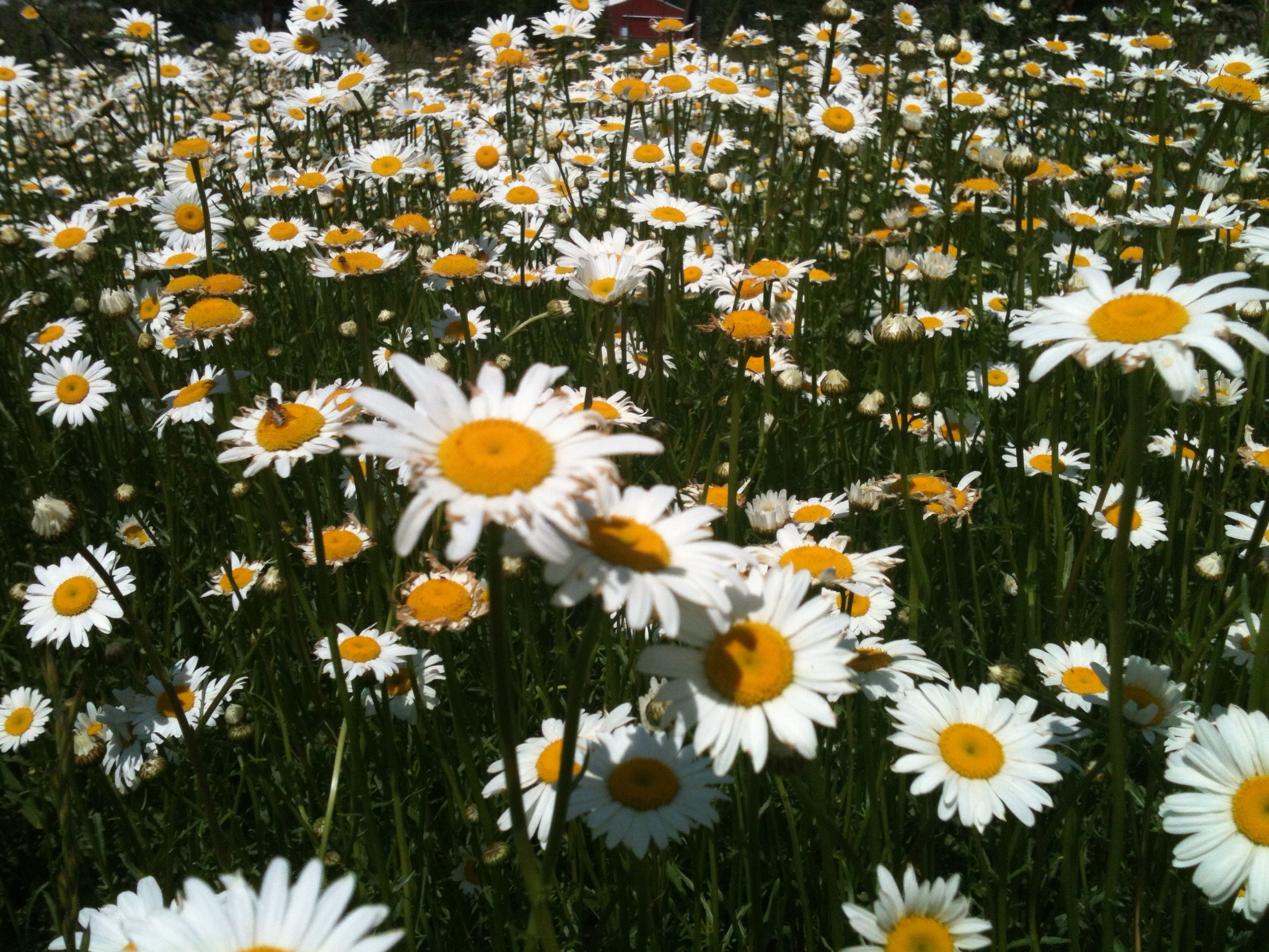
Dance of the daisies
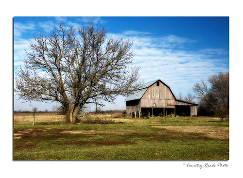
Morgan County Barn
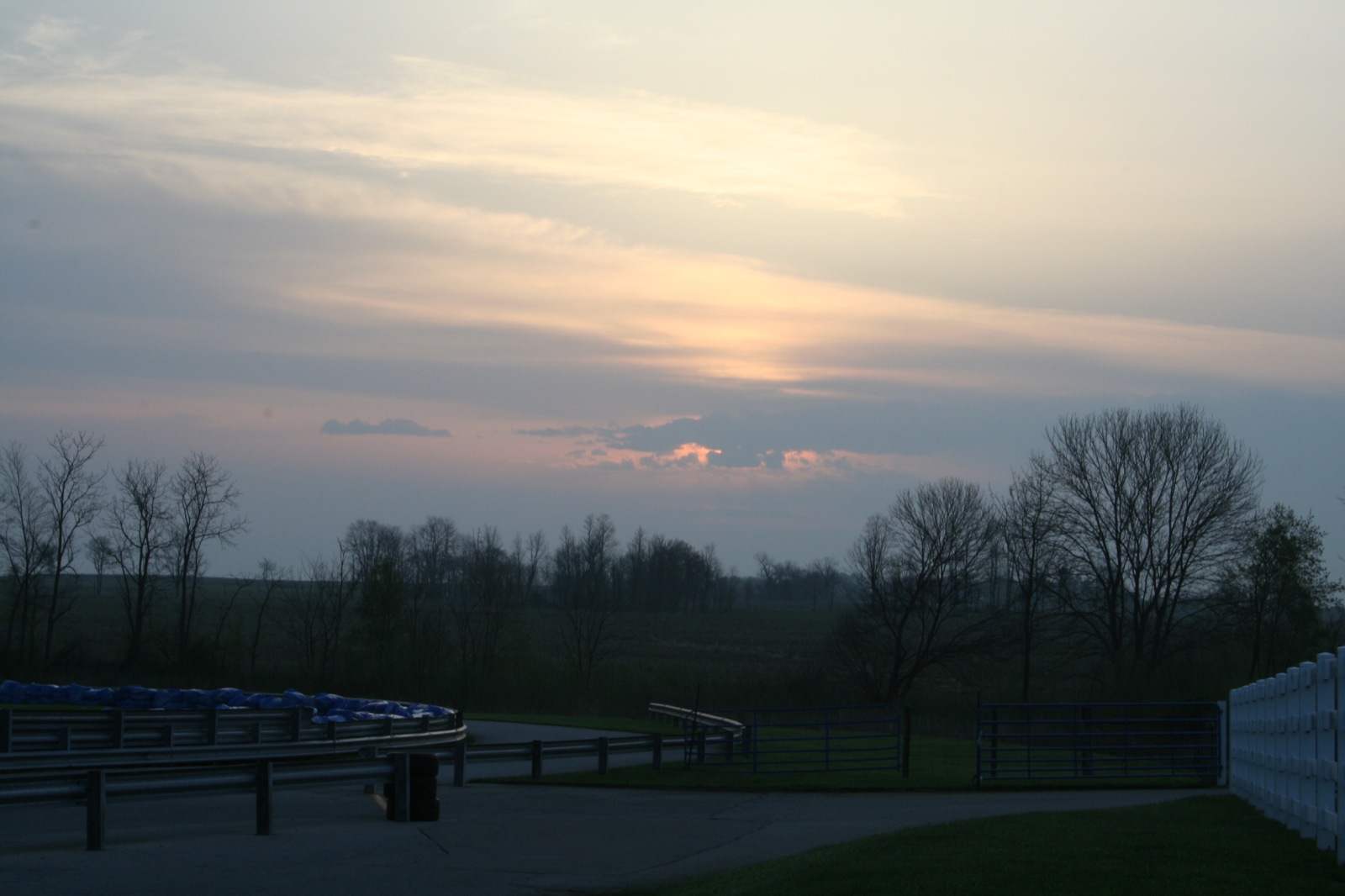
Turn 10 sunrise
Five Minutes From Home

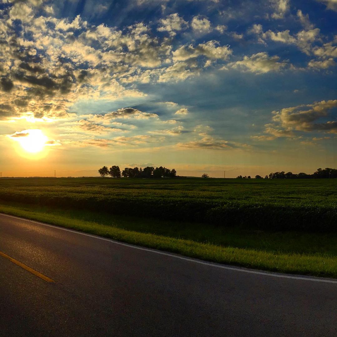
Sunset (Eminence, IN)
#sunset #drivebyshooting #perfectnight #motorcycle #clouds #openroad with @rvinci84 #vacation #relaxing
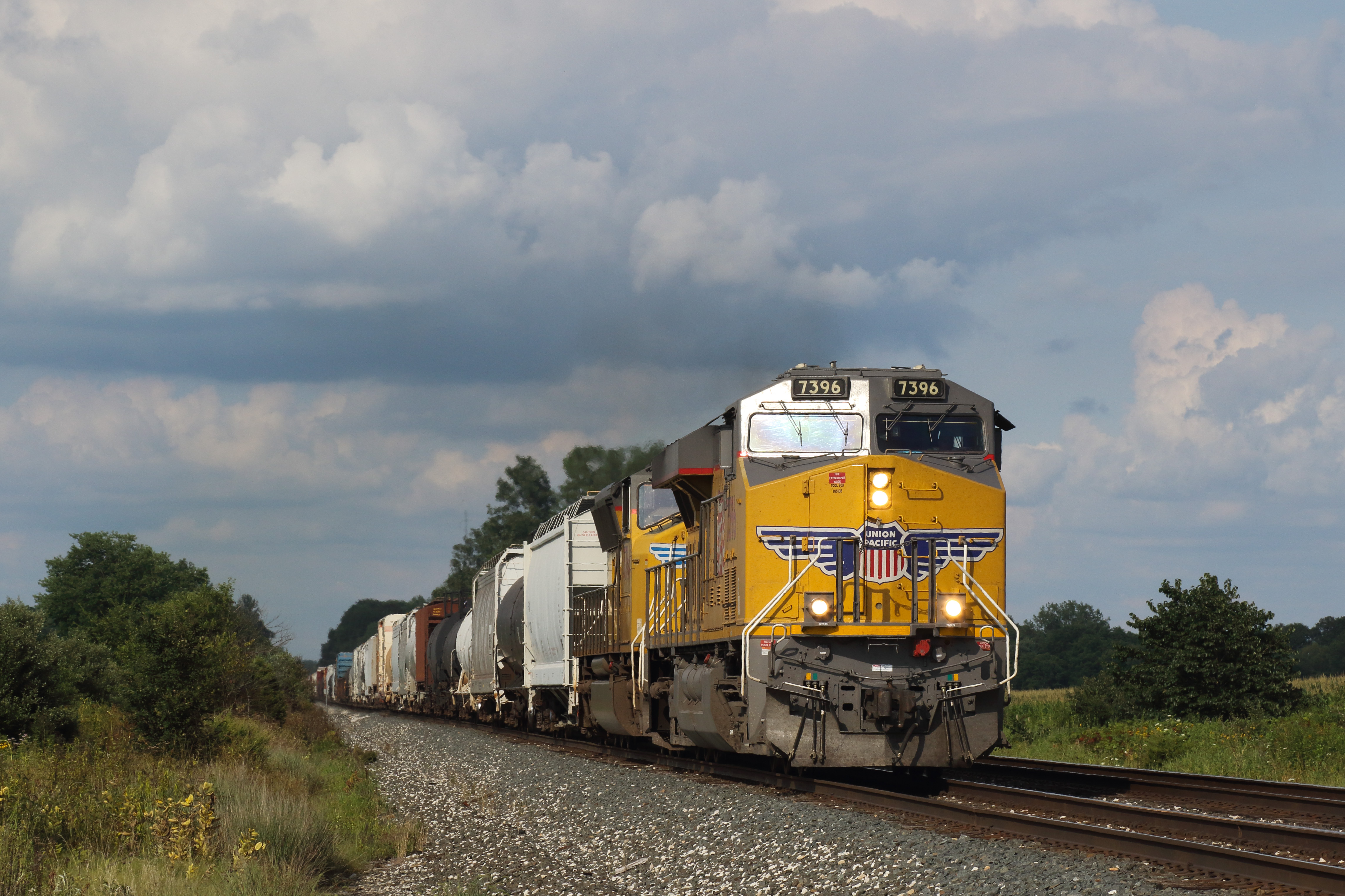
CSX WB Coatesville, IN

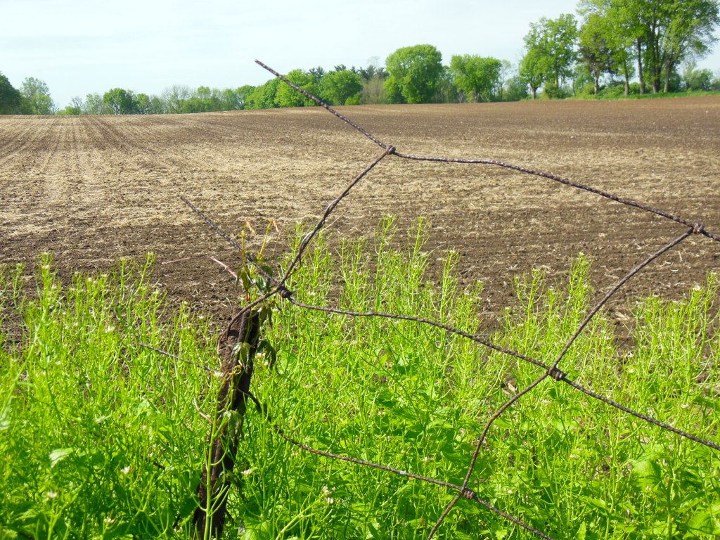
Freshly Planted Field

#sunset
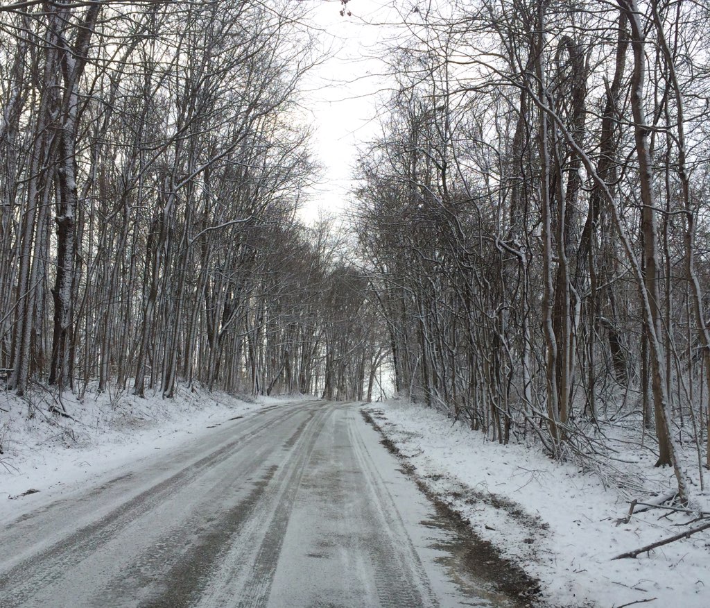
Slippery Road

Barn & Silo near Quincy, Indiana
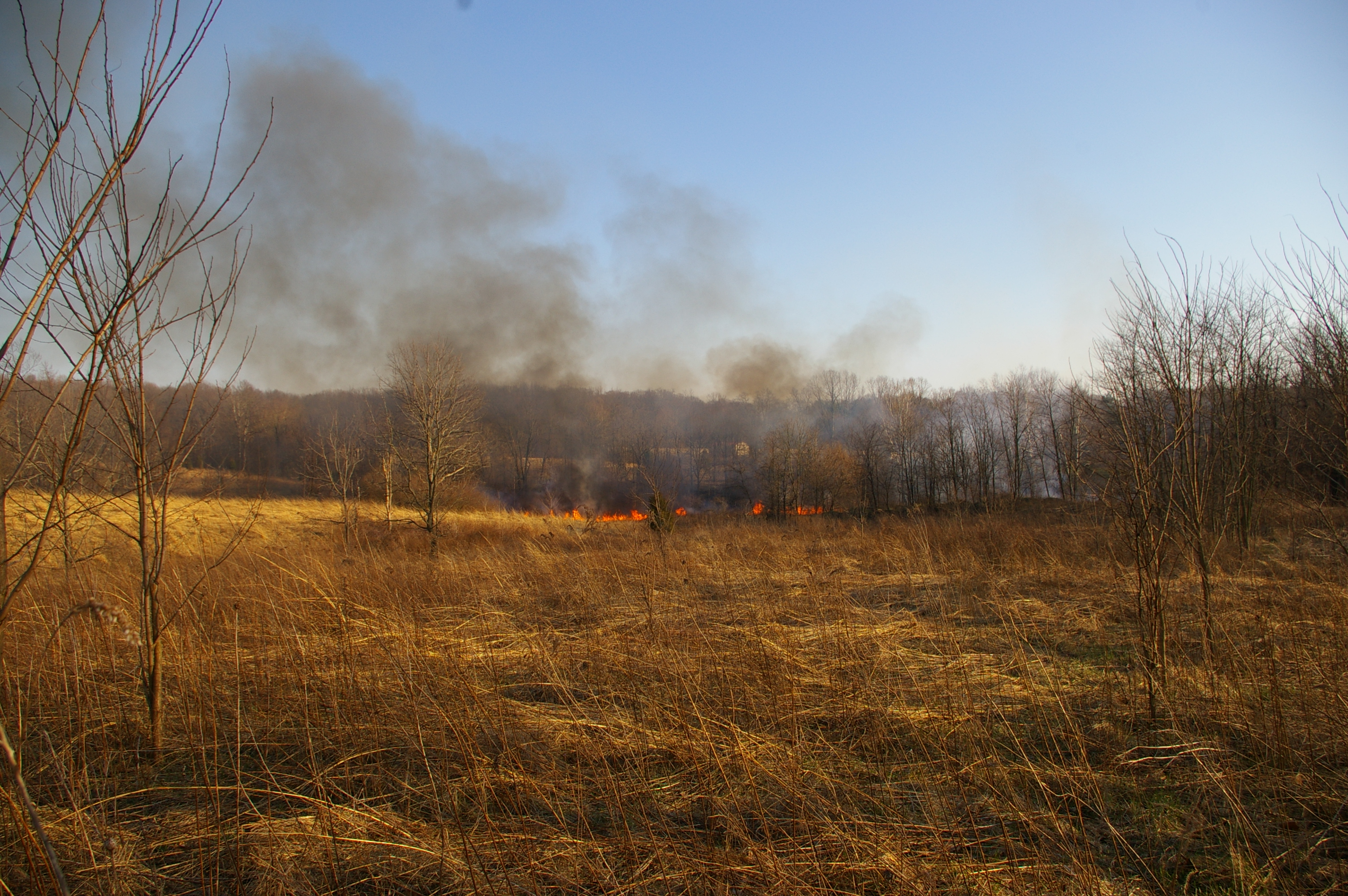
03-17-2009 Training Burn
Topographic Map of Stilesville, IN, USA
Find elevation by address:

Places in Stilesville, IN, USA:
Places near Stilesville, IN, USA:
W Main St, Stilesville, IN, USA
Franklin Township
Amo
8 Railroad St, Coatesville, IN, USA
Coatesville
Main St, Coatesville, IN, USA
N Little Point Rd, Stilesville, IN, USA
Clay Township
S County Rd W, Clayton, IN, USA
W County Rd S, Coatesville, IN, USA
Liberty Township
Clayton
N Co Rd E, Fillmore, IN, USA
Marion Township
S Co Rd E, Greencastle, IN, USA
Old National Rd, Clayton, IN, USA
N Briarwood Lake S Ct, Monrovia, IN, USA
Putnam County
N Co Rd E, Greencastle, IN, USA
Recent Searches:
- Elevation of 72-31 Metropolitan Ave, Middle Village, NY, USA
- Elevation of 76 Metropolitan Ave, Brooklyn, NY, USA
- Elevation of Alisal Rd, Solvang, CA, USA
- Elevation of Vista Blvd, Sparks, NV, USA
- Elevation of 15th Ave SE, St. Petersburg, FL, USA
- Elevation of Beall Road, Beall Rd, Florida, USA
- Elevation of Leguwa, Nepal
- Elevation of County Rd, Enterprise, AL, USA
- Elevation of Kolchuginsky District, Vladimir Oblast, Russia
- Elevation of Shustino, Vladimir Oblast, Russia