Elevation of S County Rd W, Clayton, IN, USA
Location: United States > Indiana > Hendricks County > Clay Township >
Longitude: -86.573397
Latitude: 39.688722
Elevation: 249m / 817feet
Barometric Pressure: 98KPa
Elevation Map:
Satellite Map:
Related Photos:
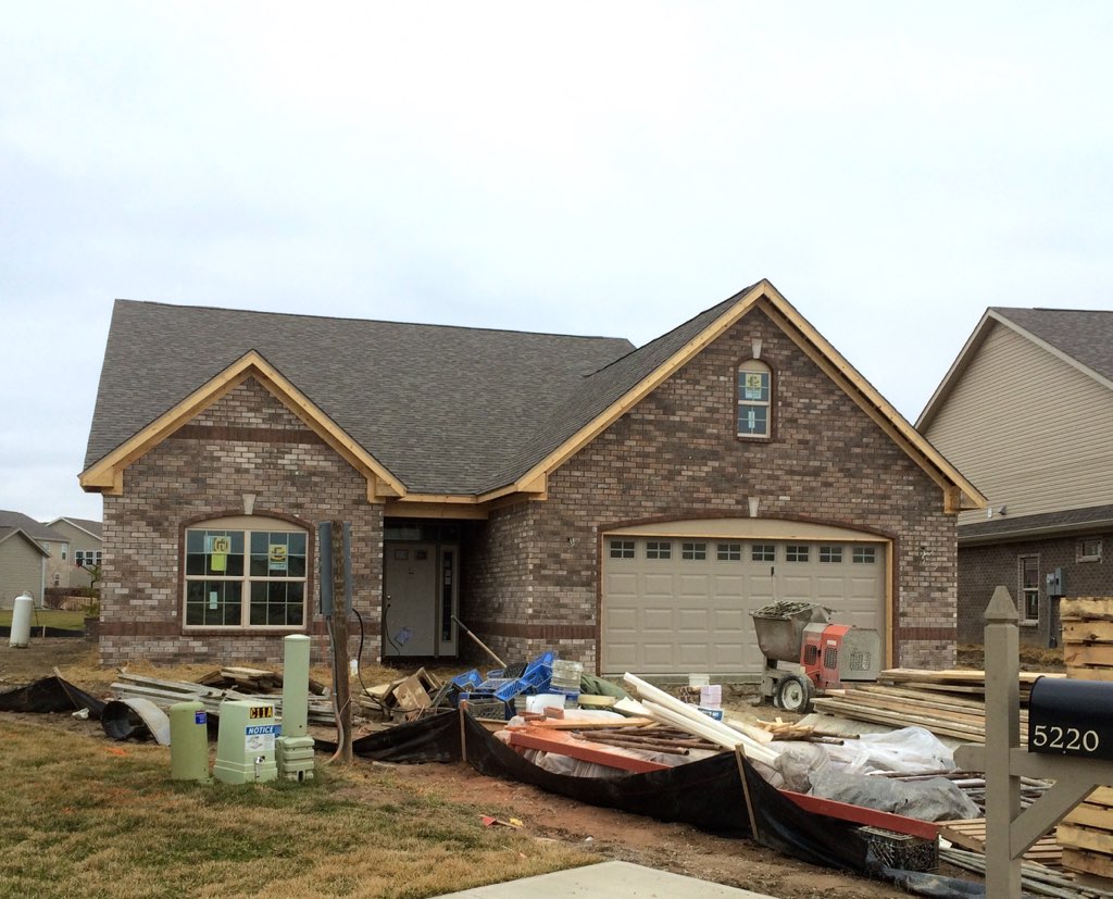
The brick is done!

Bassett Services Car 4

My view from Seattle, IN.

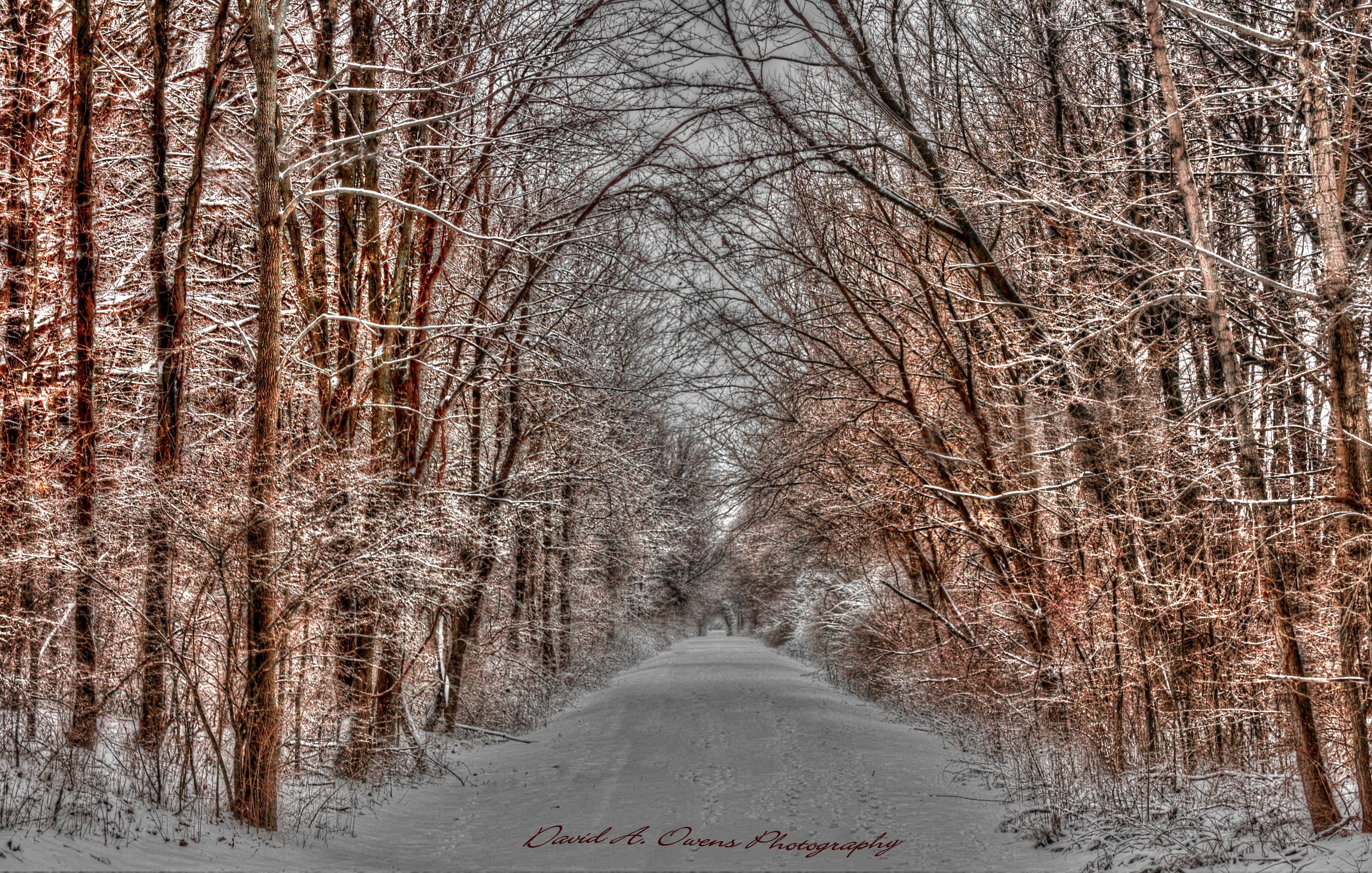
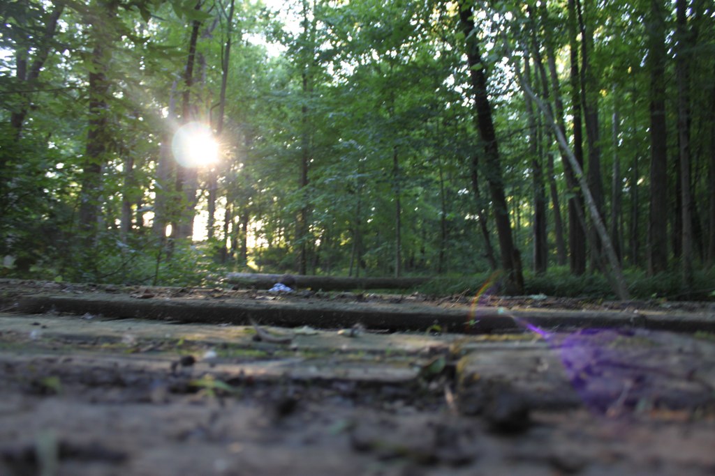
140/365 - Lost in the woods

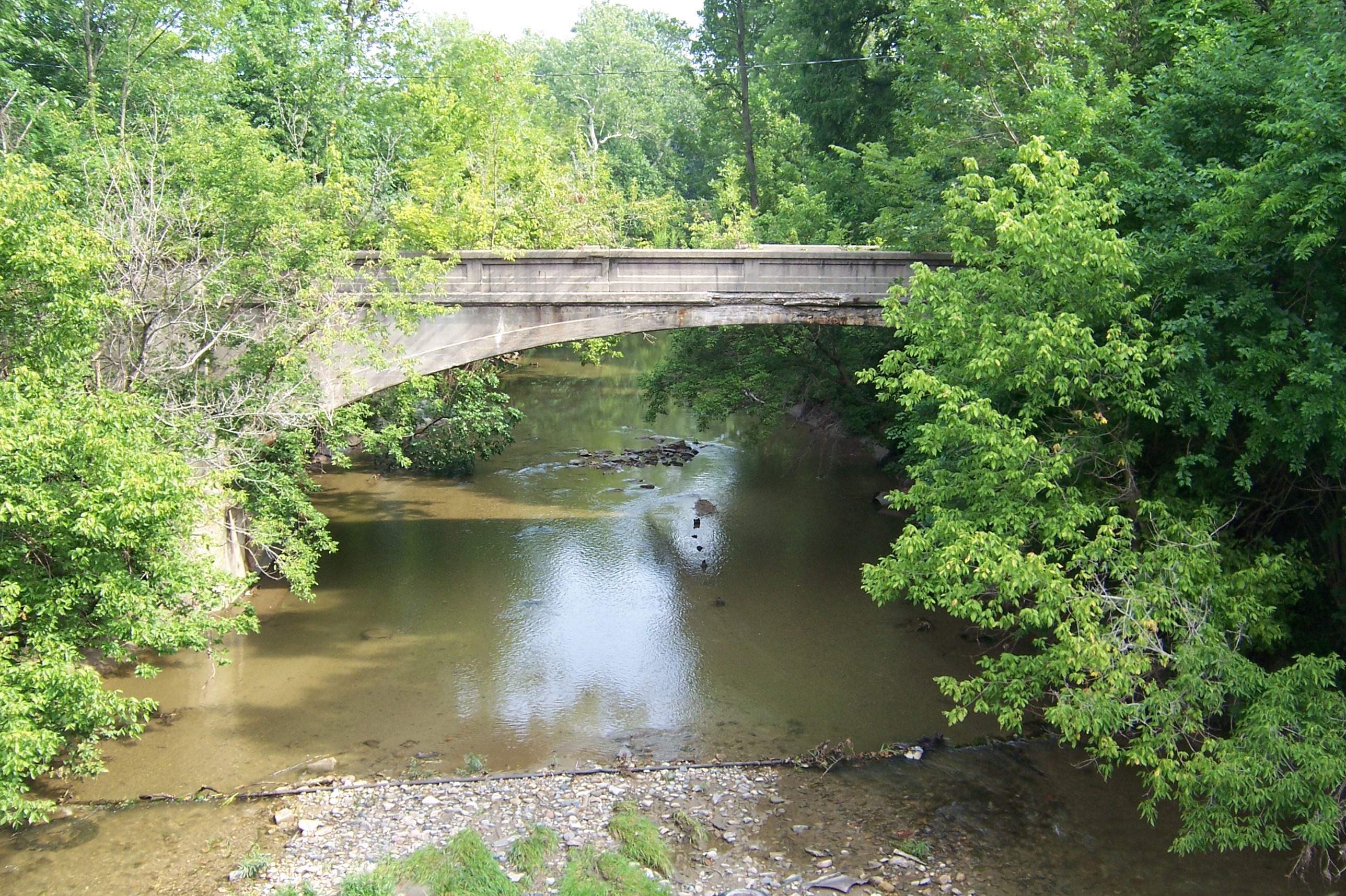
133/365 - White Lick Creek Bridge

131/365 - Night Falls

132/365 - Day Falls

119/365 - Rocky creek

134/365 - My view from the bridge
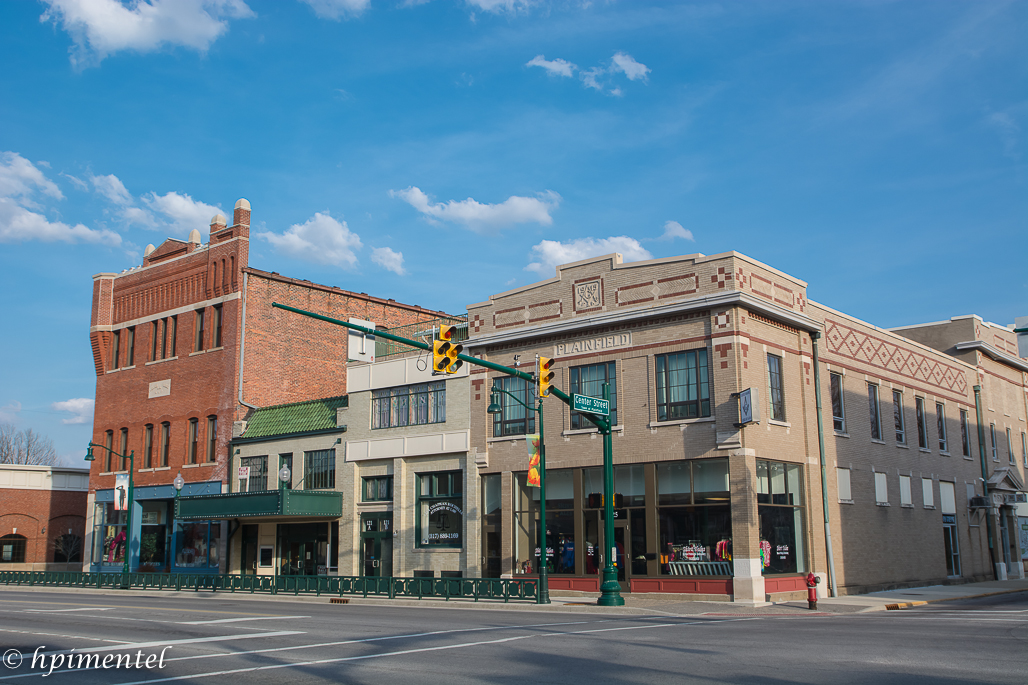
Plainfield Greenway Trail System

Fire Hydrant

Sunny Day
Plainfield View-N7100-0132

86/365 - Night Court
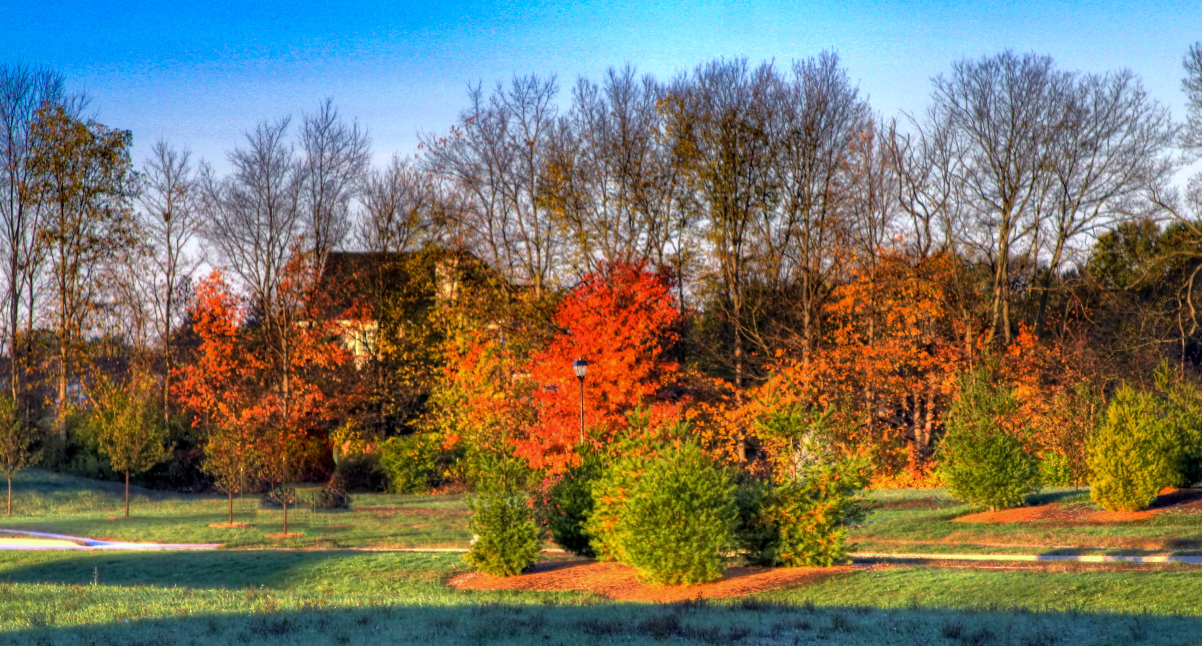
Fall Landscape in Plainfield Avalon Estates

A mirror of a Sunset!

Bassett Services Pick-Up Truck 2

Bassett Services Trailer 3

Bassett Services Van 2
Bassett Serivces Truck 3
Bassett Services Car 2
Prosperity once passed this way along the Ernie Pyle State Highway

#sunset

Squirrel... Little Teeth

Friendship Garden's Gazebo Pavilion after ice storm

DSC03462.jpg
DSC03469.jpg

Ahhhhh....
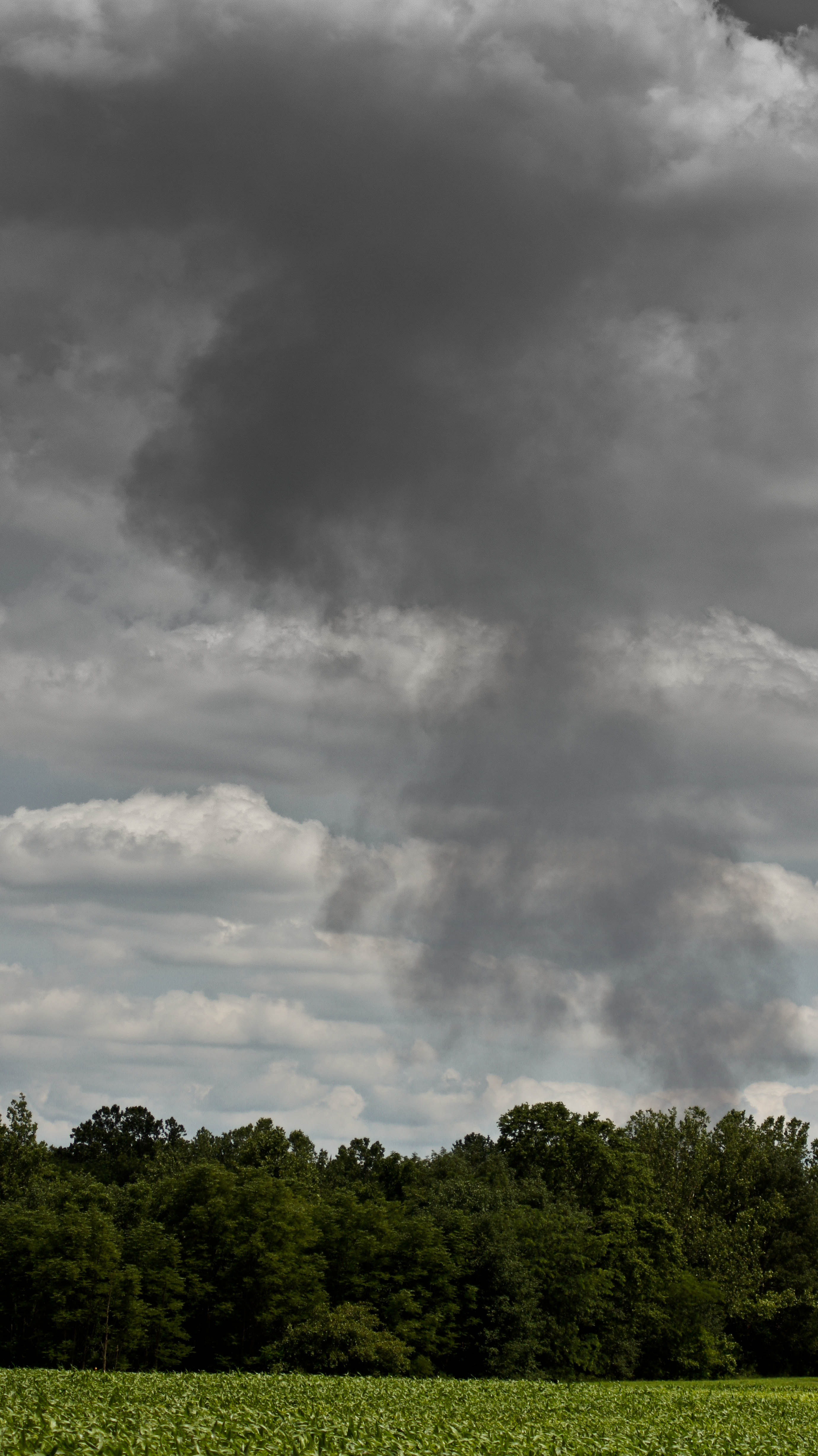
Coatsville Lumber Fire
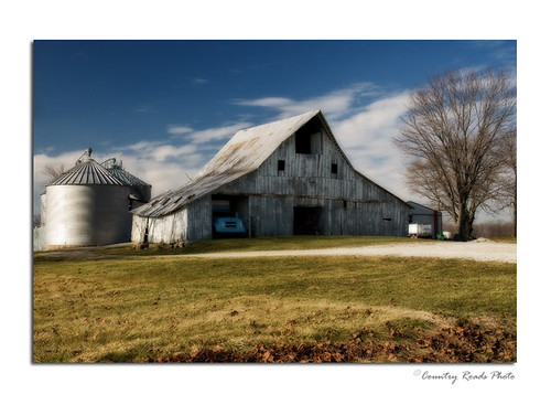
Winter Farm

water fall

Dance of the daisies
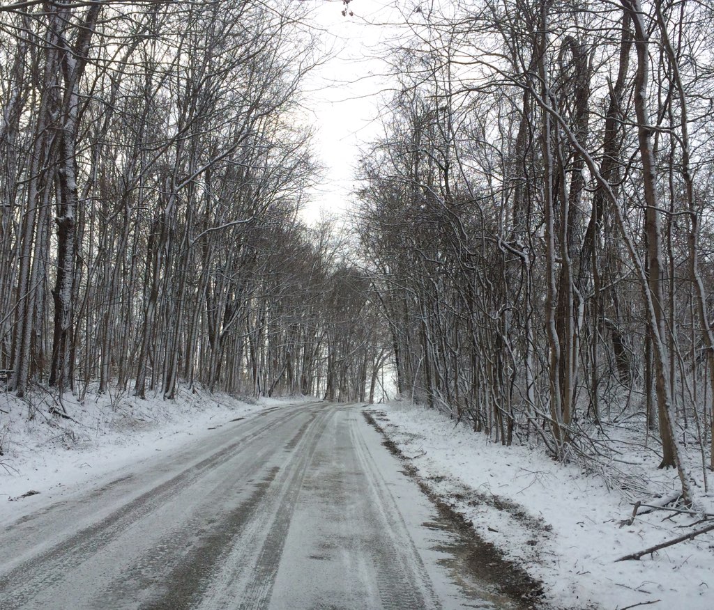
Slippery Road
the bridge

Abandoned National Road/US 40
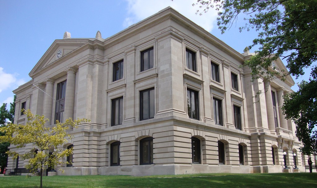
Hendricks County Courthouse (Danville, Indiana)

Brides Sunset
Abandoned US 40 bridge
Greenie Preenie...
phone 7-10-12 027
Topographic Map of S County Rd W, Clayton, IN, USA
Find elevation by address:

Places near S County Rd W, Clayton, IN, USA:
Clay Township
8 Railroad St, Coatesville, IN, USA
Amo
Clayton
Liberty Township
Franklin Township
Stilesville
W Main St, Stilesville, IN, USA
Old National Rd, Clayton, IN, USA
Coatesville
Main St, Coatesville, IN, USA
W County Rd S, Coatesville, IN, USA
N Little Point Rd, Stilesville, IN, USA
N Briarwood Lake S Ct, Monrovia, IN, USA
N Co Rd E, Fillmore, IN, USA
Marion Township
S Co Rd E, Greencastle, IN, USA
Putnam County
N Co Rd E, Greencastle, IN, USA
Recent Searches:
- Elevation of Sadovaya Ulitsa, 20, Rezh, Sverdlovskaya oblast', Russia
- Elevation of Ulitsa Kalinina, 79, Rezh, Sverdlovskaya oblast', Russia
- Elevation of 72-31 Metropolitan Ave, Middle Village, NY, USA
- Elevation of 76 Metropolitan Ave, Brooklyn, NY, USA
- Elevation of Alisal Rd, Solvang, CA, USA
- Elevation of Vista Blvd, Sparks, NV, USA
- Elevation of 15th Ave SE, St. Petersburg, FL, USA
- Elevation of Beall Road, Beall Rd, Florida, USA
- Elevation of Leguwa, Nepal
- Elevation of County Rd, Enterprise, AL, USA