Elevation of Coatesville, IN, USA
Location: United States > Indiana > Hendricks County > Clay Township >
Longitude: -86.670281
Latitude: 39.6878242
Elevation: 269m / 883feet
Barometric Pressure: 98KPa
Elevation Map:
Satellite Map:
Related Photos:

Fire Hydrant

86/365 - Night Court
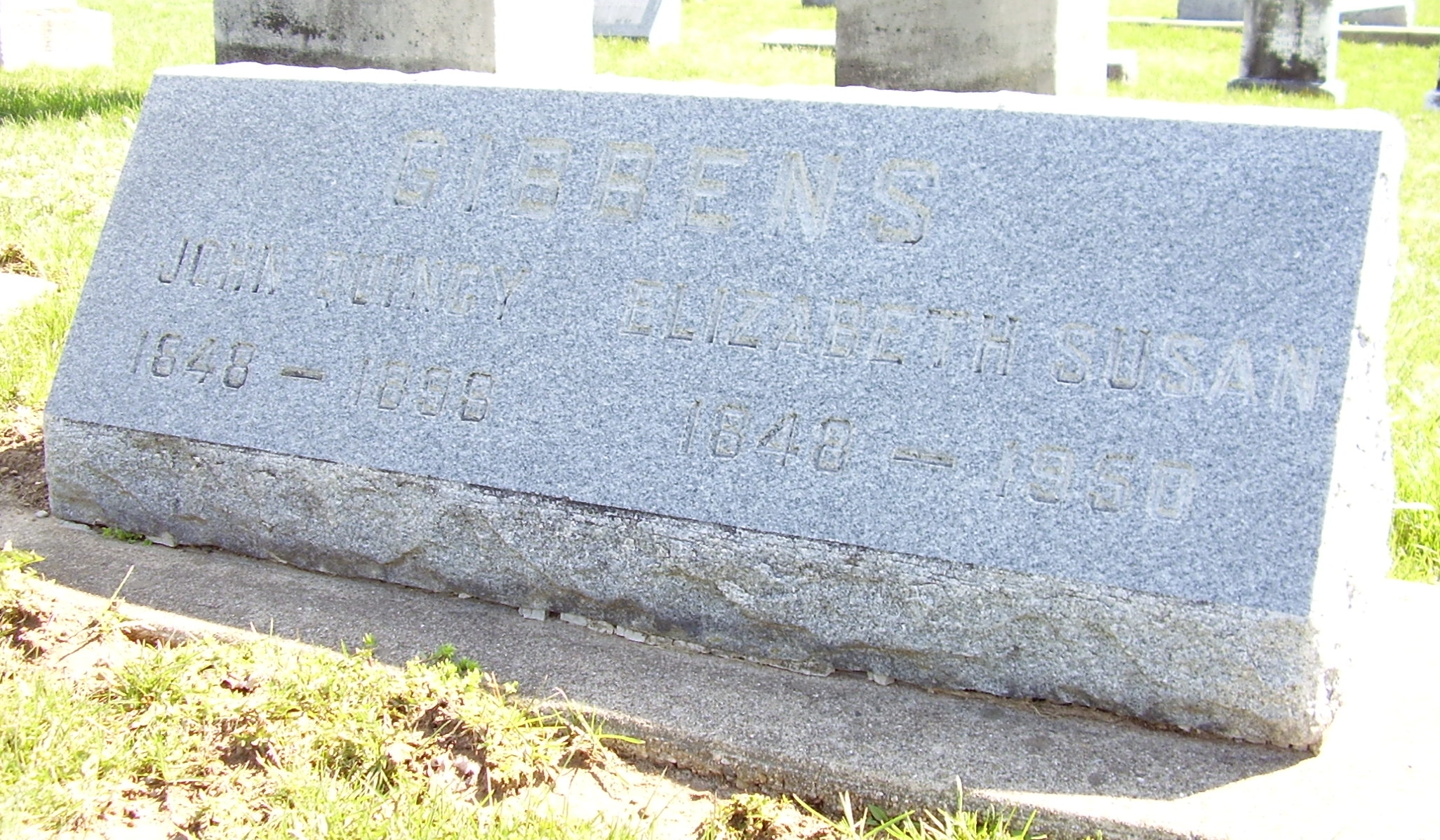
STC GIBBENS John Q Elizabeth S view 2 LG
Media Center View
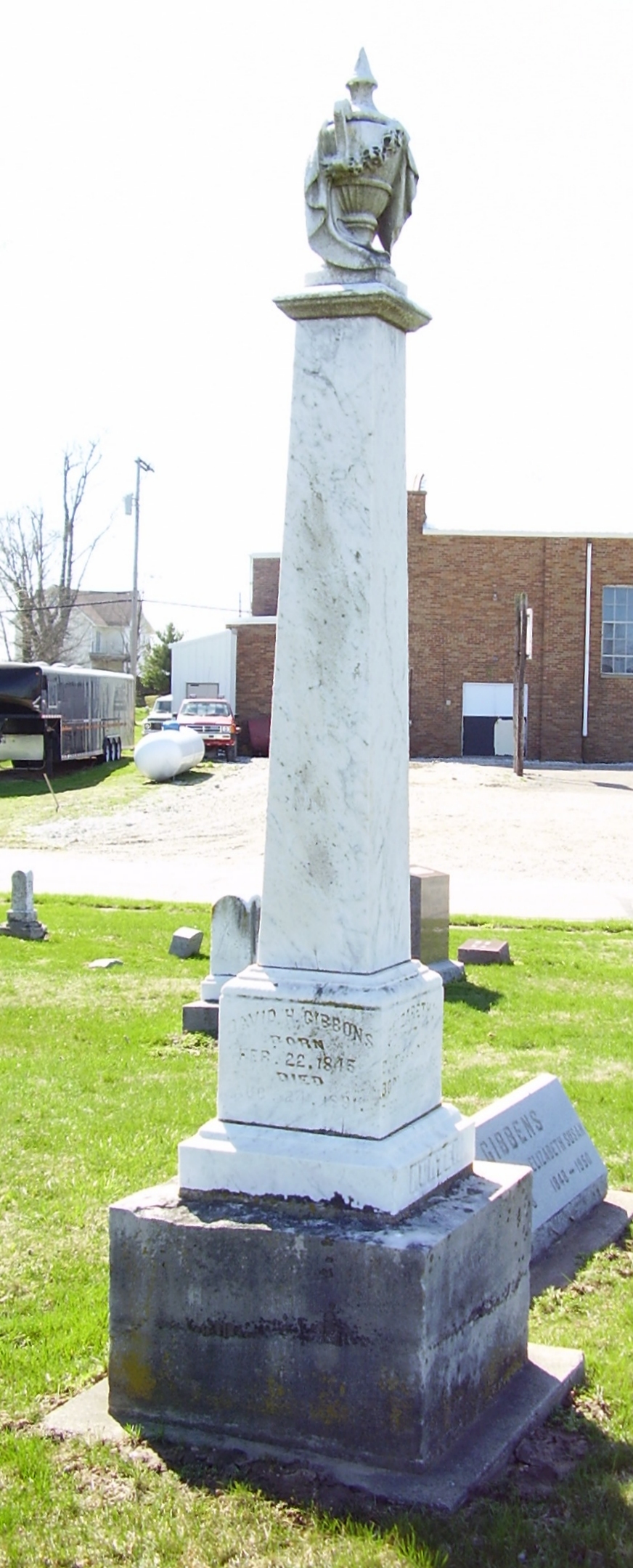
STC GIBBONS David HUNTER LG
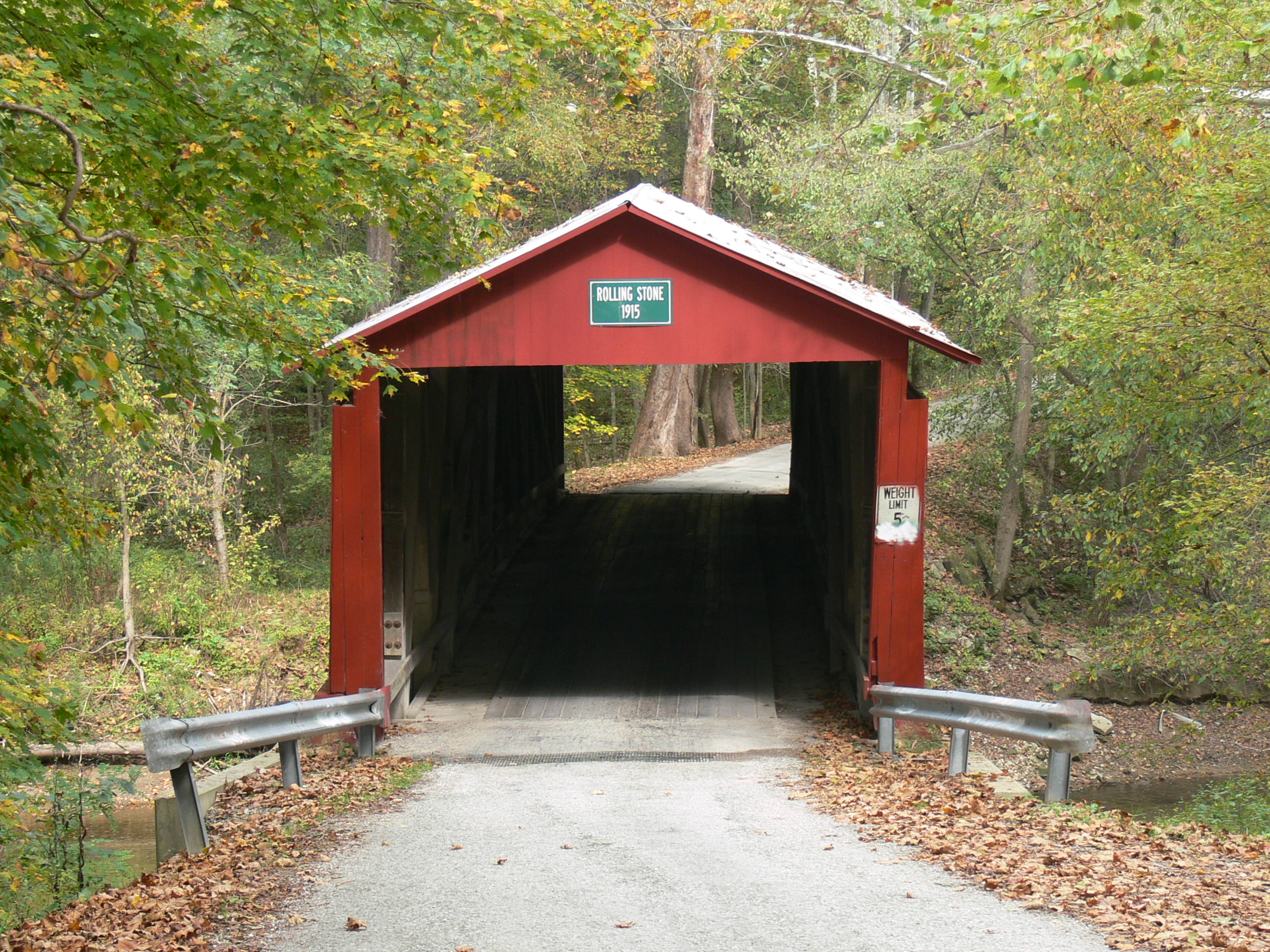
Rolling Stone Covered Bridge

STC Distance View LG
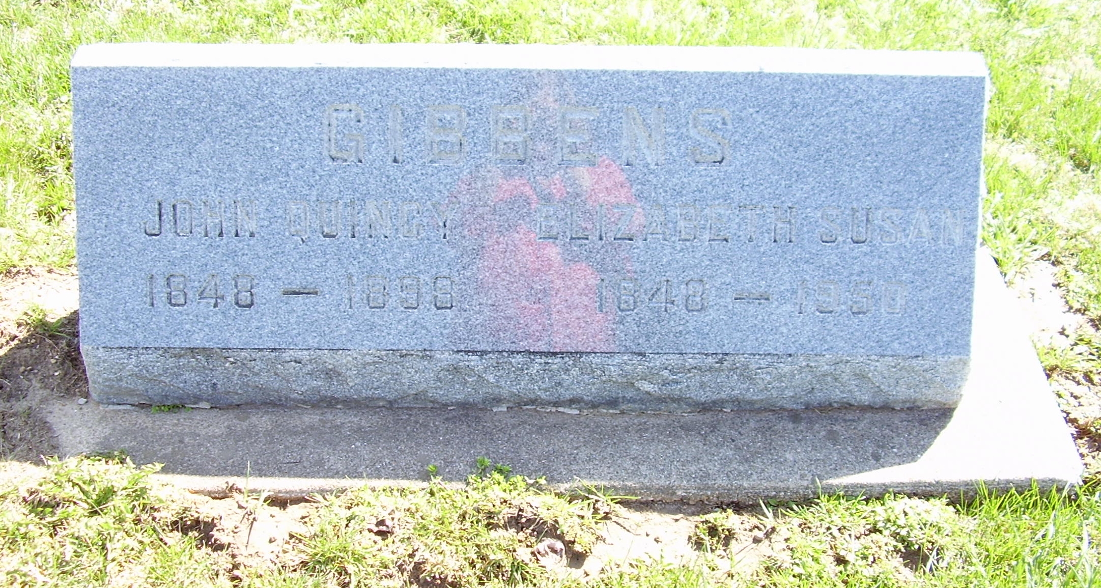
STC GIBBENS John Q Elizabeth S LG

They Trashed The Motel
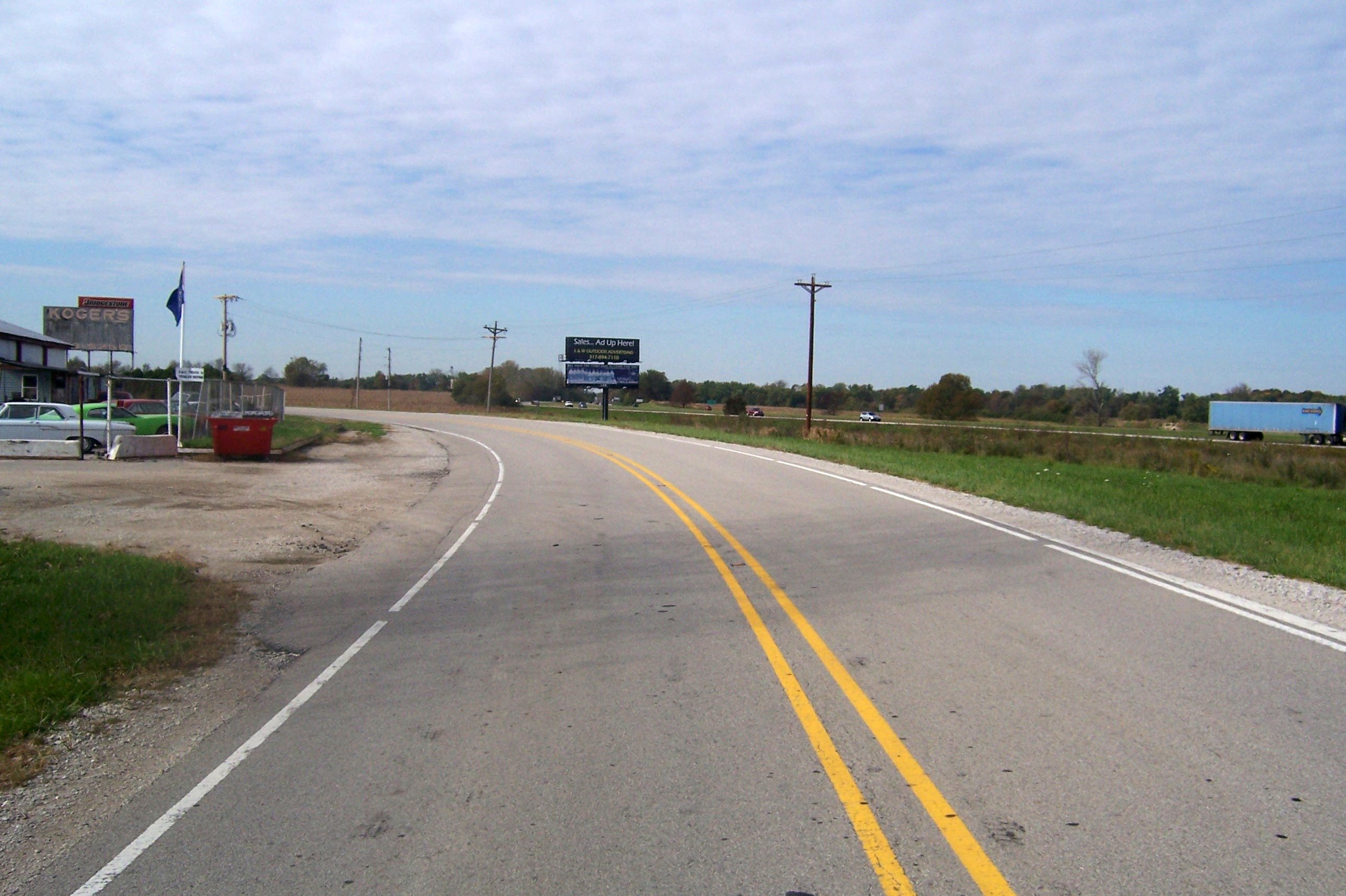
A view of I-70
Prosperity once passed this way along the Ernie Pyle State Highway

DSC03462.jpg
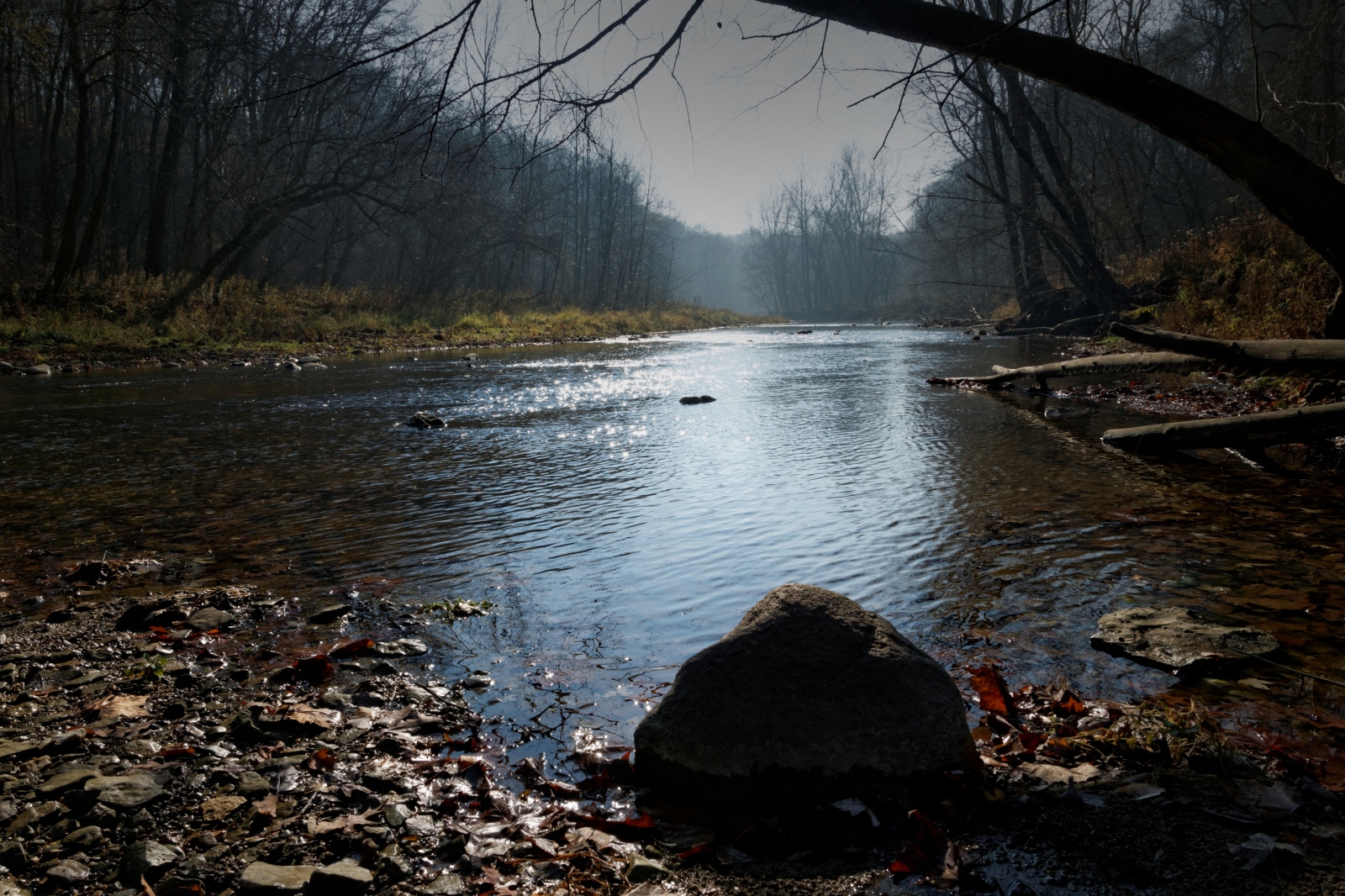
Morning Sun, Big Walnut Creek

Ahhhhh....

IMG_0327[1]

Coatsville Lumber Fire
Winter Farm

Scapula and Spider

Sycamore Morning

Dance of the daisies

Big Walnut Natural Area Sign

Rain a'comin...
Big Walnut Creek 1

IMG_0322[1]

Ribs 2
Morgan County Barn
Big Walnut Valley

Rolling Stone Covered Bridge
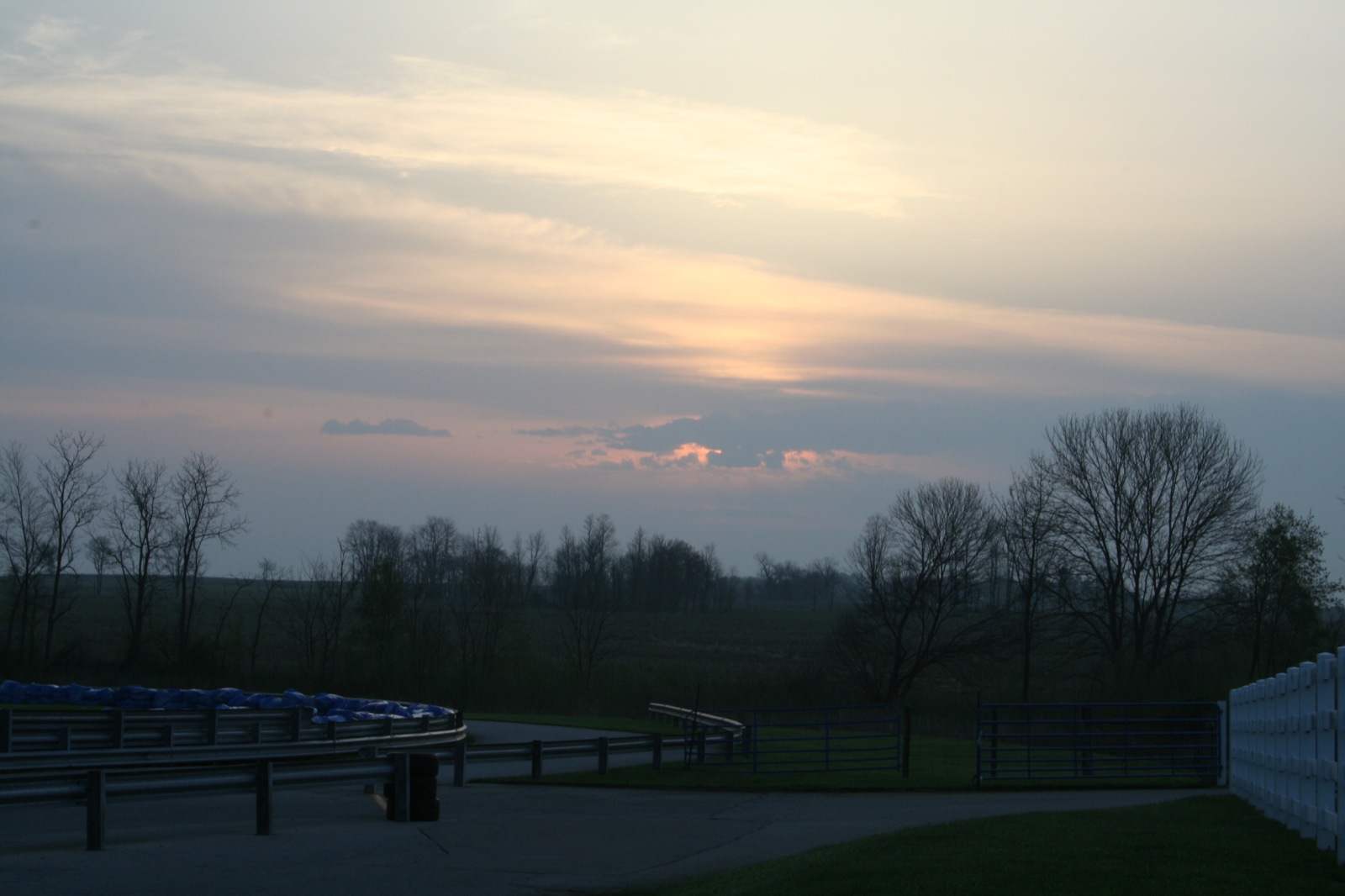
Turn 10 sunrise

Coffman Cemetery 1

Ribs 3
Topographic Map of Coatesville, IN, USA
Find elevation by address:

Places in Coatesville, IN, USA:
Places near Coatesville, IN, USA:
Main St, Coatesville, IN, USA
W County Rd S, Coatesville, IN, USA
Amo
8 Railroad St, Coatesville, IN, USA
Stilesville
W Main St, Stilesville, IN, USA
Clay Township
N Co Rd E, Fillmore, IN, USA
Franklin Township
S County Rd W, Clayton, IN, USA
Marion Township
S Co Rd E, Greencastle, IN, USA
N Little Point Rd, Stilesville, IN, USA
Clayton
Putnam County
Liberty Township
N Co Rd E, Greencastle, IN, USA
Old National Rd, Clayton, IN, USA
N Briarwood Lake S Ct, Monrovia, IN, USA
Recent Searches:
- Elevation of Sadovaya Ulitsa, 20, Rezh, Sverdlovskaya oblast', Russia
- Elevation of Ulitsa Kalinina, 79, Rezh, Sverdlovskaya oblast', Russia
- Elevation of 72-31 Metropolitan Ave, Middle Village, NY, USA
- Elevation of 76 Metropolitan Ave, Brooklyn, NY, USA
- Elevation of Alisal Rd, Solvang, CA, USA
- Elevation of Vista Blvd, Sparks, NV, USA
- Elevation of 15th Ave SE, St. Petersburg, FL, USA
- Elevation of Beall Road, Beall Rd, Florida, USA
- Elevation of Leguwa, Nepal
- Elevation of County Rd, Enterprise, AL, USA