Elevation of Stewart Hill, Westford, VT, USA

Location: United States > Vermont > Chittenden County > Westford >

Longitude: -72.981782

Latitude: 44.584598

Elevation: 329m / 1079feet

Barometric Pressure: 97KPa

Elevation Map:

elevation map of Stewart Hill, Westford, VT, USA

Satellite Map:

Satellite map of Stewart Hill, Westford, VT, USA

Related Photos:

Smugglers' Notch
cambridge mountains nature landscape vermont hiking newengland lookout smugglersnotch
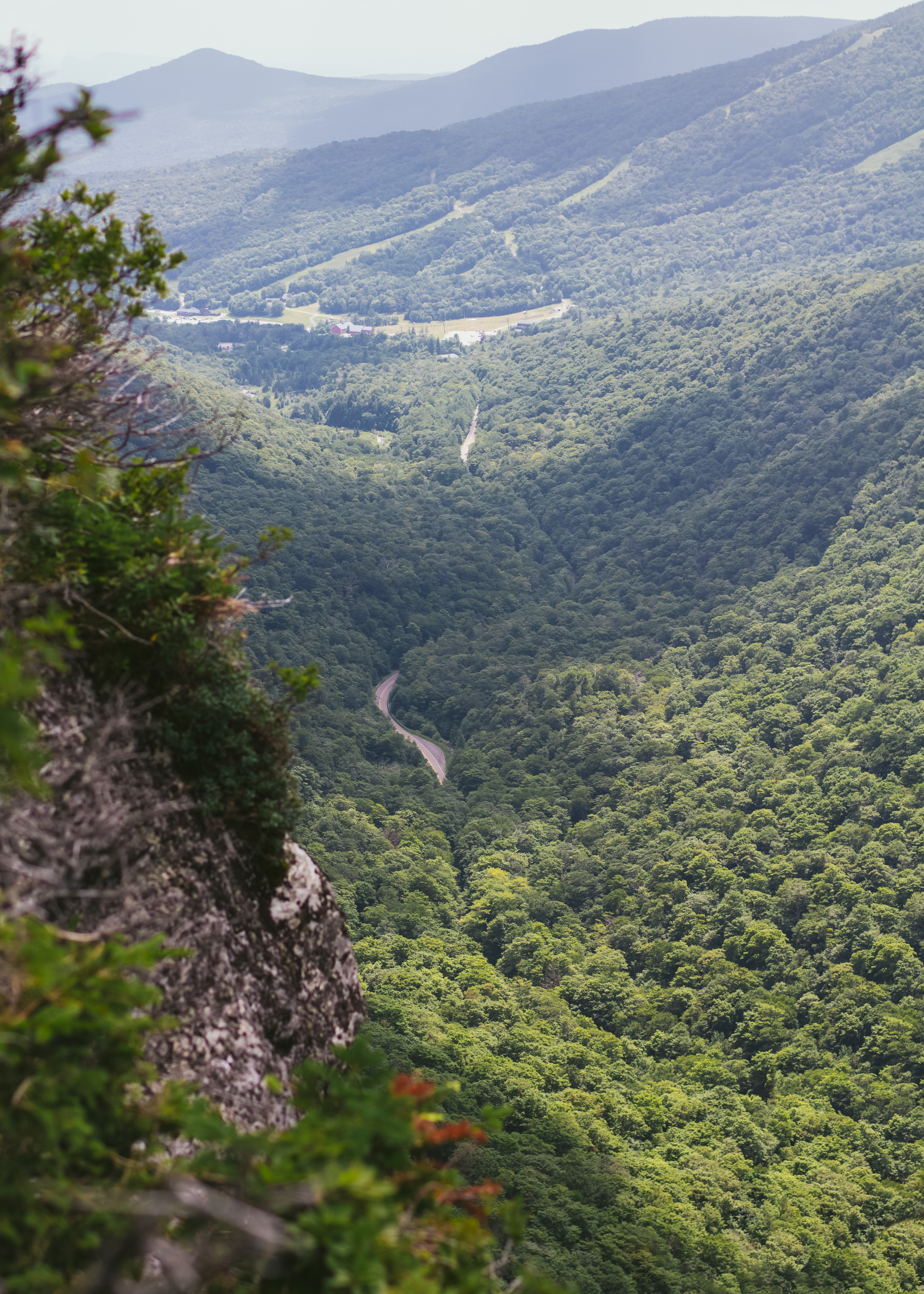
Elephant's Head Cliff Lookout
summer vacation usa tree green water strange rural forest river us flora vermont outdoor unitedstatesofamerica july hike trail waterfalls northamerica gorge stowe cascade naturalworld hdr northwoods greenmountains westbranch ruralscenes binghamfalls lewisfalls plungefalls northernforest roaringfalls riparianecosystem photogeorge smugglersnotchstatepark mtmansfieldstateforest uppermountainroad waterburyriver stowelandtrust nikond750 acdseeultimate8 vermontrt108 bedrockgneiss bedrockhazensnotchschist grottocascade orphacascade williamhhbingham
Bingham Falls 11 - The Plunge: wider view
stowe vermont violet proudparents everett sue cameraphone galaxys9 february2019 2019
Lunch At The Cliff House
sunset vermont hiking samsung tunnel hut backpacking mountaineering underhill snowshoeing mapleridge vt lakechamplain greenmountains glissade mountmansfield ex1 bushwhacking butlerlodge frosttrail underhillstatepark tl500 msrdenali
Icicles and Sunset at Butler Lodge
square fdsflickrtoys mosaic orb architectural sphere swirls orbs sq spheres amazingfaces origamidon donshall architecturalswirls mosaic•amazingfaces
mosaic • amazing.faces
sunset vermont hiking samsung tunnel hut backpacking mountaineering underhill snowshoeing mapleridge vt lakechamplain greenmountains glissade mountmansfield cloudchaser traildog ruffwear ex1 bushwhacking butlerlodge frosttrail underhillstatepark tl500 approachpack msrdenali caninesoftshell k9mountaineer
Sunset Over Lake Champlain and the Adirondacks
mountain tree nature clouds river landscape vermont camels hdr hump williston
River View
89NB-Exit16-17
fdsflickrtoys orb architectural sphere swirls mosiac orbs spheres origamidon donshall mosiac•architecturalswirls architecturalswirls
mosaic • architectural.swirls
usa fall autumn vermont stowe mountmansfield smugglersnotch statepark leaves red yellow orange trees hiking trail skiing skiresort pano panorama
View from Mount Mansfield, Vermont
blue landscape vermont hill mtmansfield
Hills of Vermont
Omni Autumn
wood bridge cambridge greenleaves green mill creek river outdoors rocks stream vermont unitedstates bluesky hike trail covered coveredbridge vt woodbridge gristmill greenmountains grist whiteclouds oldbridge greenfoliage
A Side-View of the Grist Mill Covered Bridge, Green Mountains, Vermont (VT) (DSH_5400-01)
road morning yellow fog vermont cross unitedstates pavement horizon hill roadtrip double unknown underhill vt doubleyellow greenmountains foggymorning doubleyellowline pavedroad emptyroad doubleline
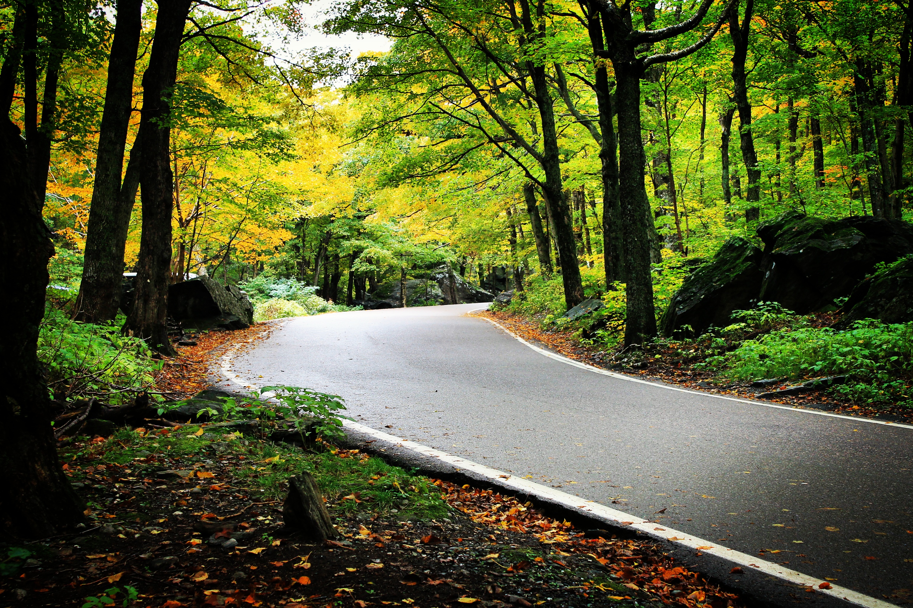
Road into Foggy Uncertainty (DSH_5313)
trees sky mountain newyork clouds landscape vermont view stitched vt lakechamplain mountmansfield
Out On Top
bird d50 liberty freedom nikon vermont hummingbird flash sb600 depression milton hummer libertarian speedlight rubythroated mentalillness secondamendment 2ndamendment drb usconstitution gadsdenflag strobist radiotrigger garyjohnson gadgetguru darronbirgenheier darronrbirgenheier bipolarphotographer
Female Ruby-throated hummingbird
instagramapp square squareformat iphoneography uploaded:by=instagram
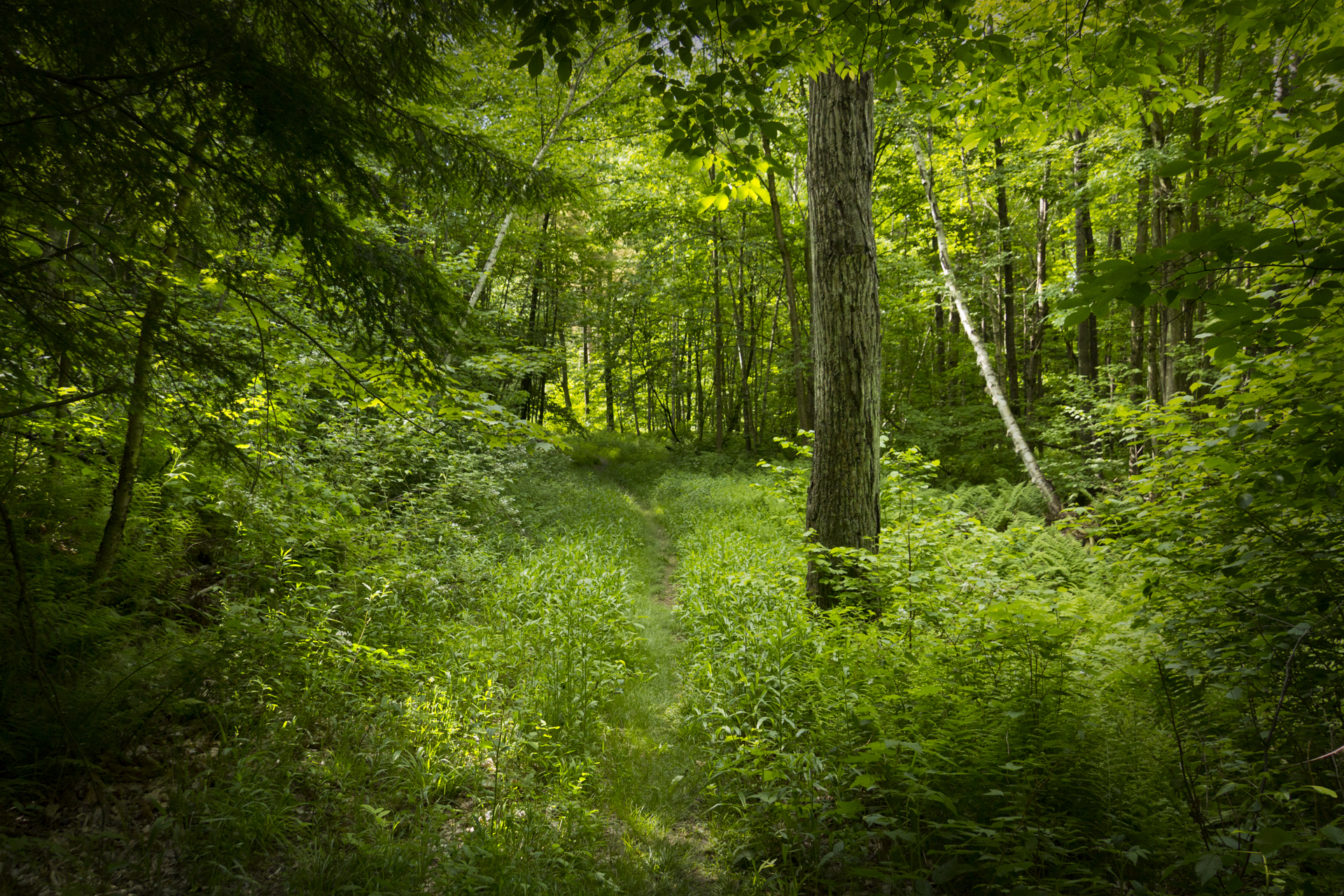
Just off the trail in a mossy patch of fallen trees. A bug's eye view near Smuggler's Notch. #wilderness #autumn #fall #leaves #moss #ferns #vermont #stowe #nature_perfection #thegreatoutdoors #lifeisbeautiful #life
mount mansfield mt mountain stowe vermont vt smugglers notch toll road vistor center hdr high dynamic range outside nature sky clouds landscape nikkor nikon d7000 18105
Mt. Mansfield's Visitor Center
panorama mountain black ski ice point hardware high vermont mt angle pano wide peak bowl panoramic resort diamond mount alpine area summit axe stowe tundra vt mansfield smugglers notch piolet flickrandroidapp:filter=berlin
Mount Mansfield 4,393 Ft. #21
View west to Lake Champlain from Mount Mansfield, Stowe, Vermont
westford vermont stonebrook landscape winter contre jour
Stone Brook with Sun and Ice
©shabdrophoto fallfoliage leafpeeping stowe vermont
Notch Fall
2018 canon canon5dmarkiv canonef2470mmf28liiusm davetrono fairfieldroad fletcher greenmountains mtmansfield newengland tinkerfarm vt vermont barn farm geotagged hills landscape mountains red redbarn rural silo snow winter mountain
Tinker Farm in Fletcher, Vermont
water waterfall vermont unitedstates waterfalls jericho
Vermont_D718576-Edit-Edit.jpg
morning mountains fall fog burlington sunrise canon landscape photography vermont mt 5d fairfax vbs mansfield mkiii 500px canon5dmkiii vaibhavbhosalecom vbsphotography fall2014
Morning in Vermont
Deep Green Vermont
autumn trees mountain water leaves rocks colorful stream vermont newengland brook vt mtmansfield mountainbrook greenmountains smugglersnotch
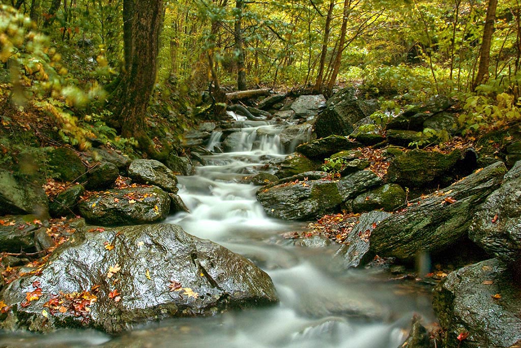
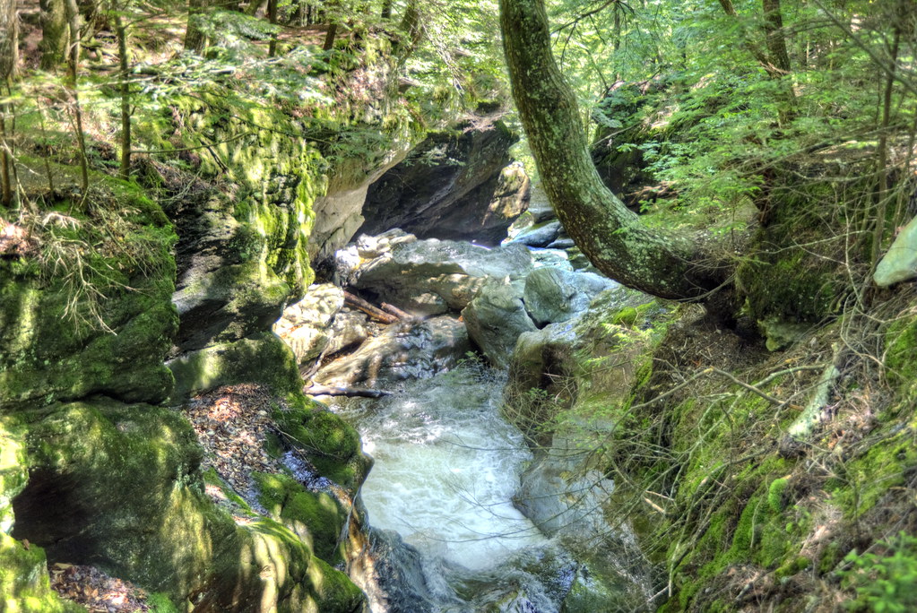
A Brook at Smuggler's Notch
summer vacation usa tree green water strange rural forest river us flora vermont outdoor unitedstatesofamerica july hike trail waterfalls northamerica gorge stowe cascade naturalworld hdr northwoods greenmountains westbranch ruralscenes binghamfalls lewisfalls northernforest roaringfalls riparianecosystem photogeorge smugglersnotchstatepark mtmansfieldstateforest uppermountainroad tieredfalls waterburyriver stowelandtrust nikond750 acdseeultimate8 vermontrt108 bedrockgneiss bedrockhazensnotchschist grottocascade orphacascade williamhhbingham
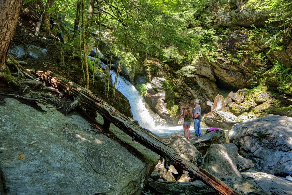
Bingham Falls 07 - Cascading Water Falls
waterfall spring vermont unitedstates waterfalls jericho millbrookfalls
Vermont-6380_HDR.jpg
water waterfall vermont unitedstates waterfalls jericho
Vermont_DSC0862-Edit-Edit2.jpg
sunset vermont unitedstates essex
Vermont_D718863-Edit.jpg
cambridge fall waterfall vermont foliage jeffersonville brewsterrivergorge canonefs1855mmf3556is
Lower Falls
fog sunrise vermont swamp hazy bog
Burning off the fog
In The Notch
I can see my house from here
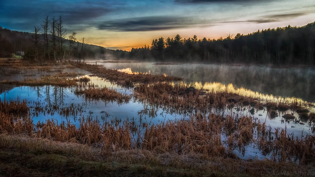
cambridge us vermont unitedstates where northamerica namedplaces
Vermont Pond