Elevation of Cilley Hill Rd, Jericho, VT, USA
Location: United States > Vermont > Chittenden County > Jericho >
Longitude: -72.971396
Latitude: 44.544573
Elevation: 337m / 1106feet
Barometric Pressure: 97KPa
Elevation Map:
Satellite Map:
Related Photos:
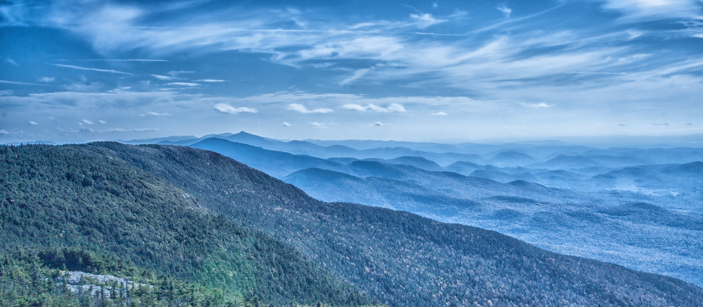
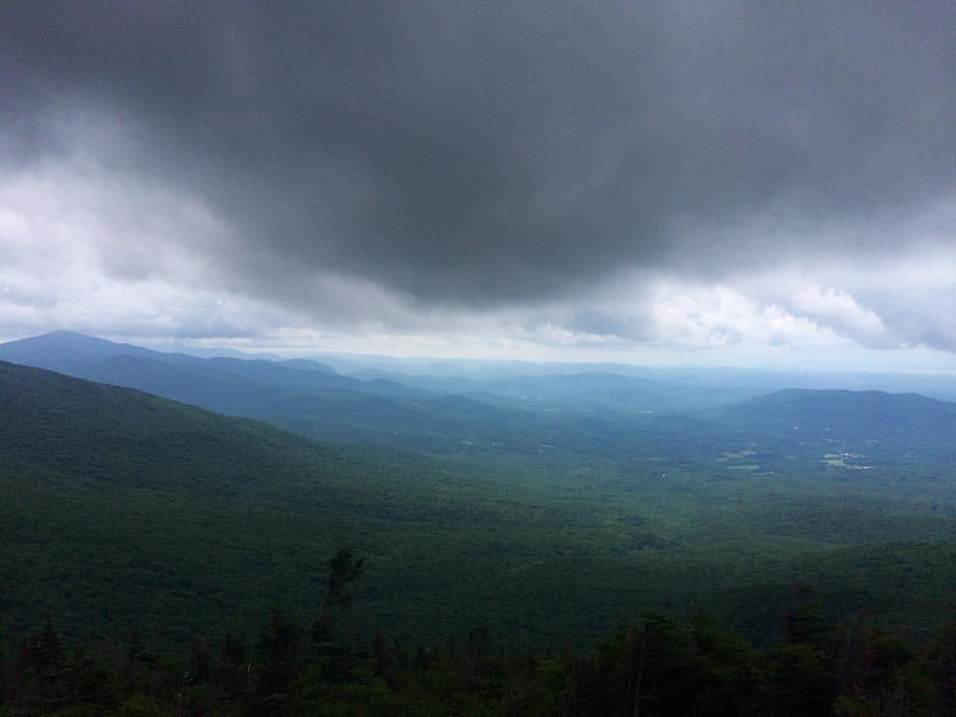
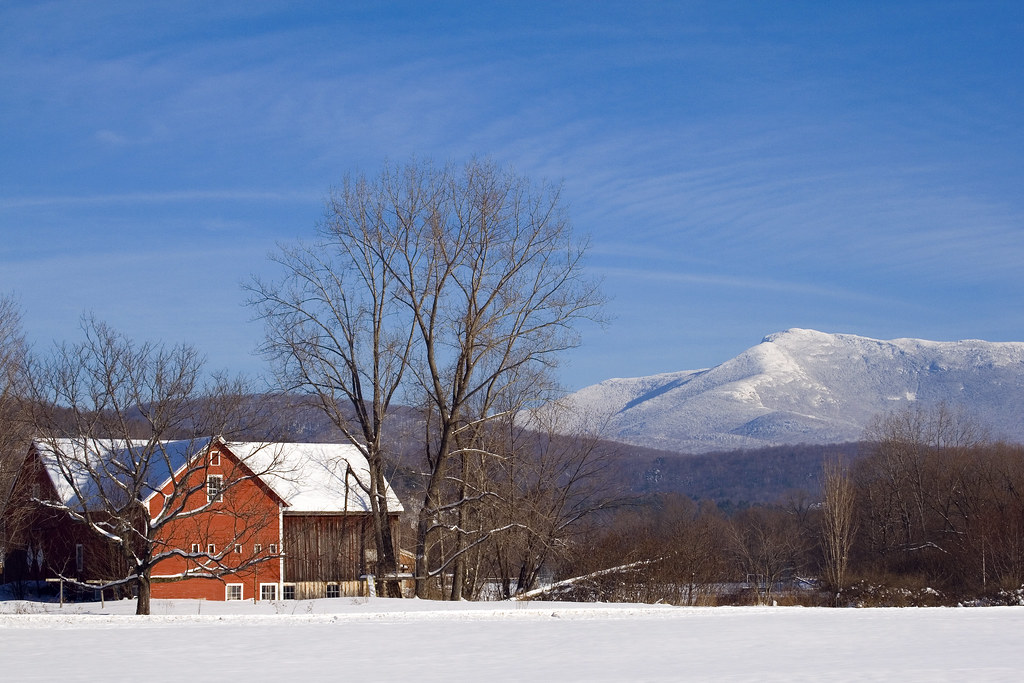
Hills of Vermont
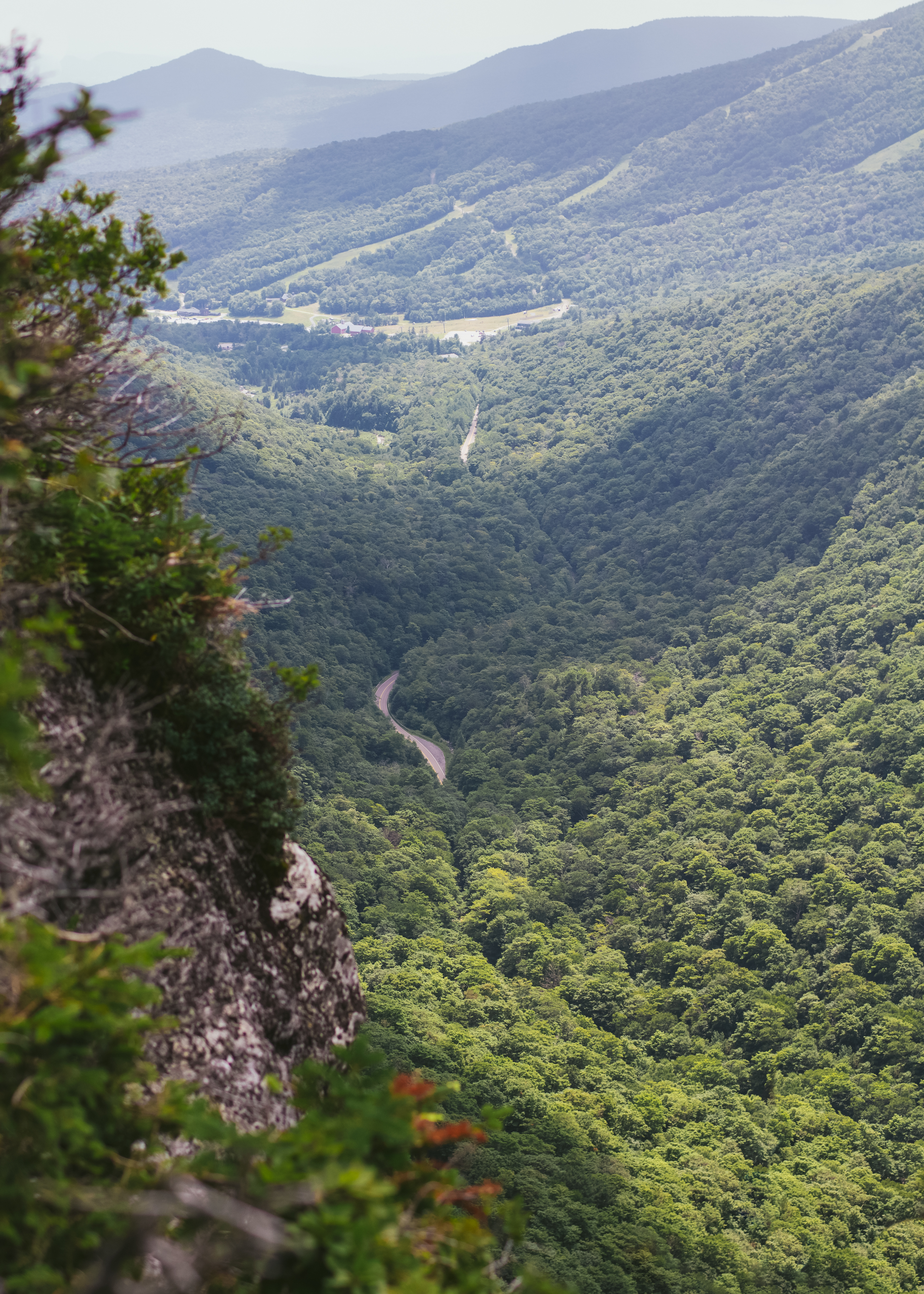
Elephant's Head Cliff Lookout

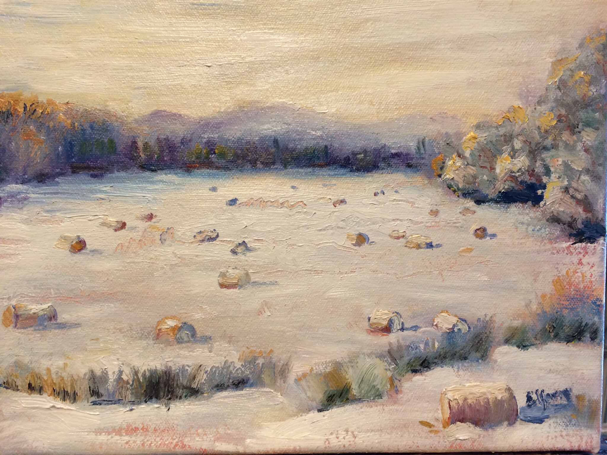
Horses, Sticks, and Snow

Sunset Ridge 1

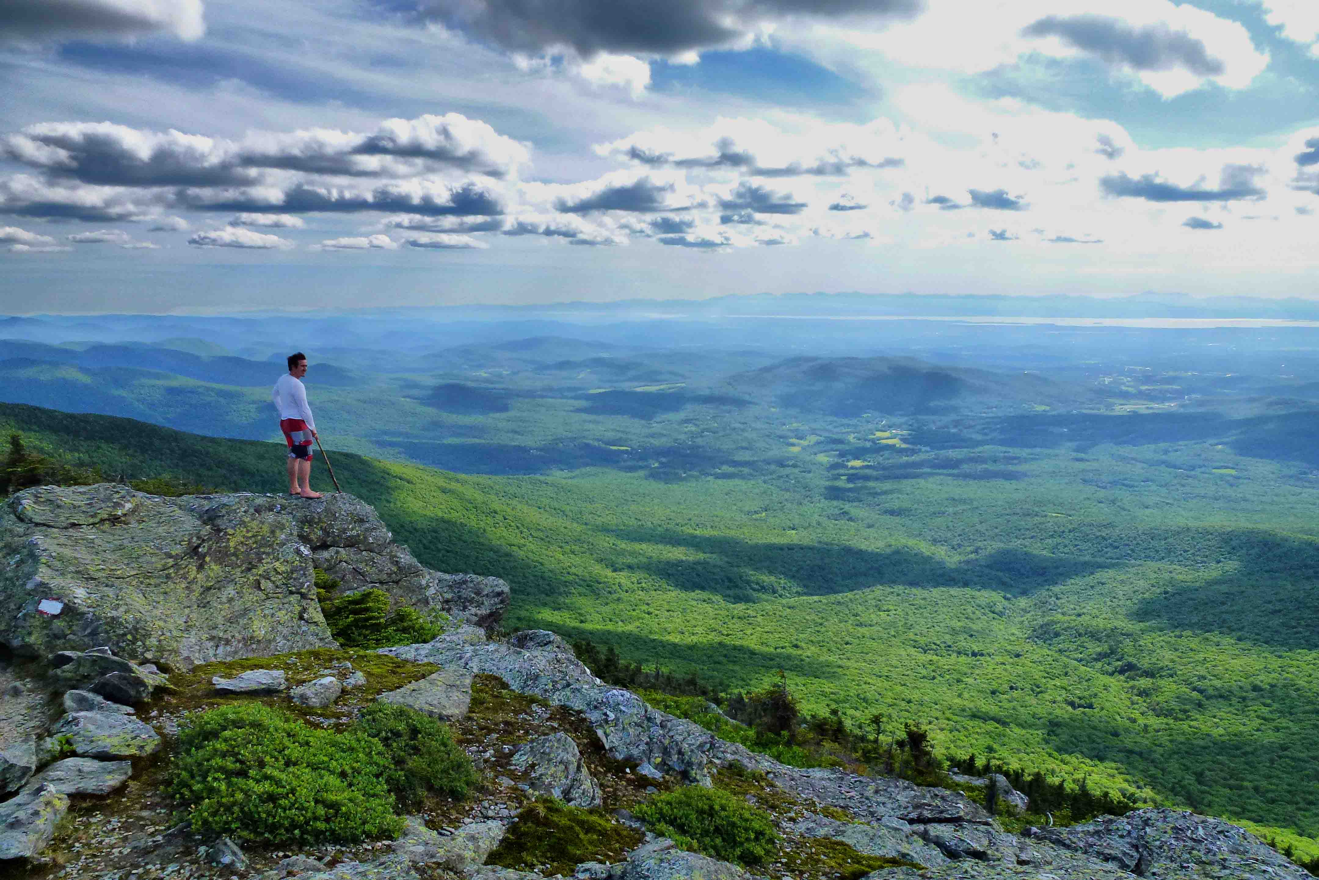
Big View
View of the field off East Road
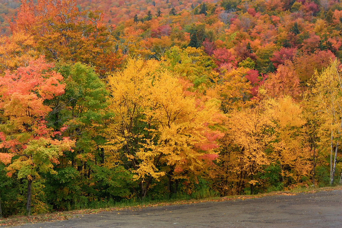
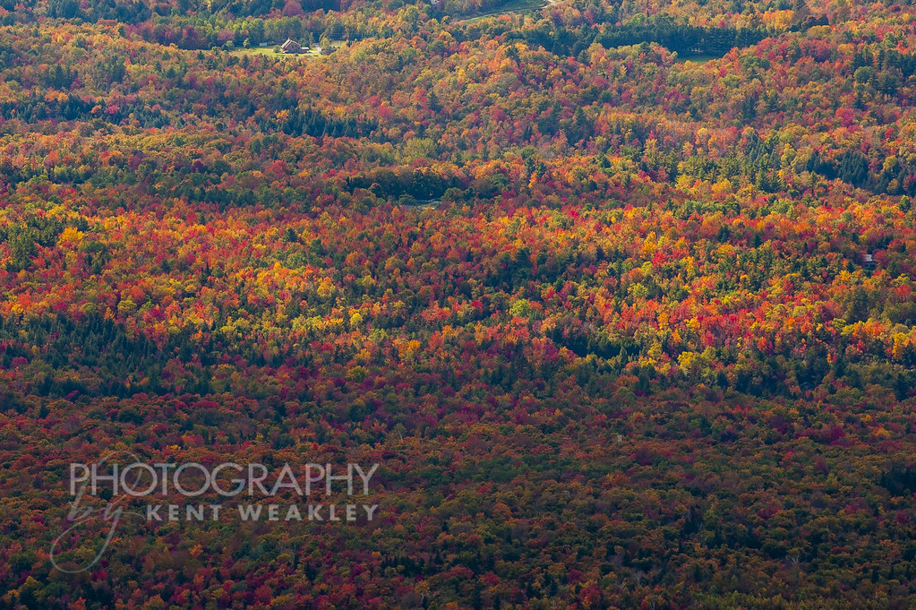
Vermont Fall Foliage 6

View from Hardscrabble Road

Mt. Mansfield's Visitor Center
The view! #Vagcation4 #Snatchlorette #Setteingdown
Omni Autumn

Champlain View
Fresh air, incredible view!
The View From Libby's Look
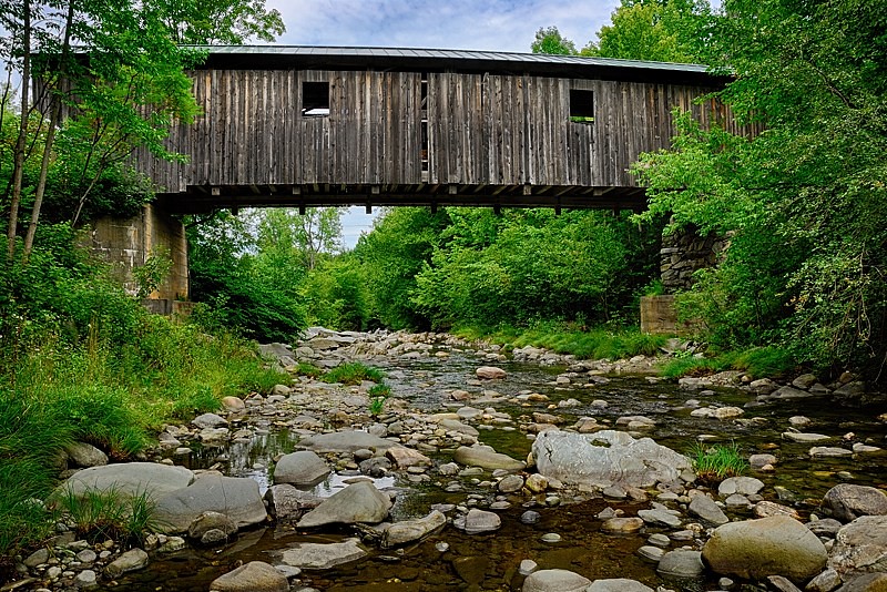
A Side-View of the Grist Mill Covered Bridge, Green Mountains, Vermont (VT) (DSH_5400-01)

View from the top of the Stowe Gondola

Getting Up
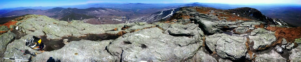
Mount Mansfield 4,393 Ft. #21

View of Ski Area
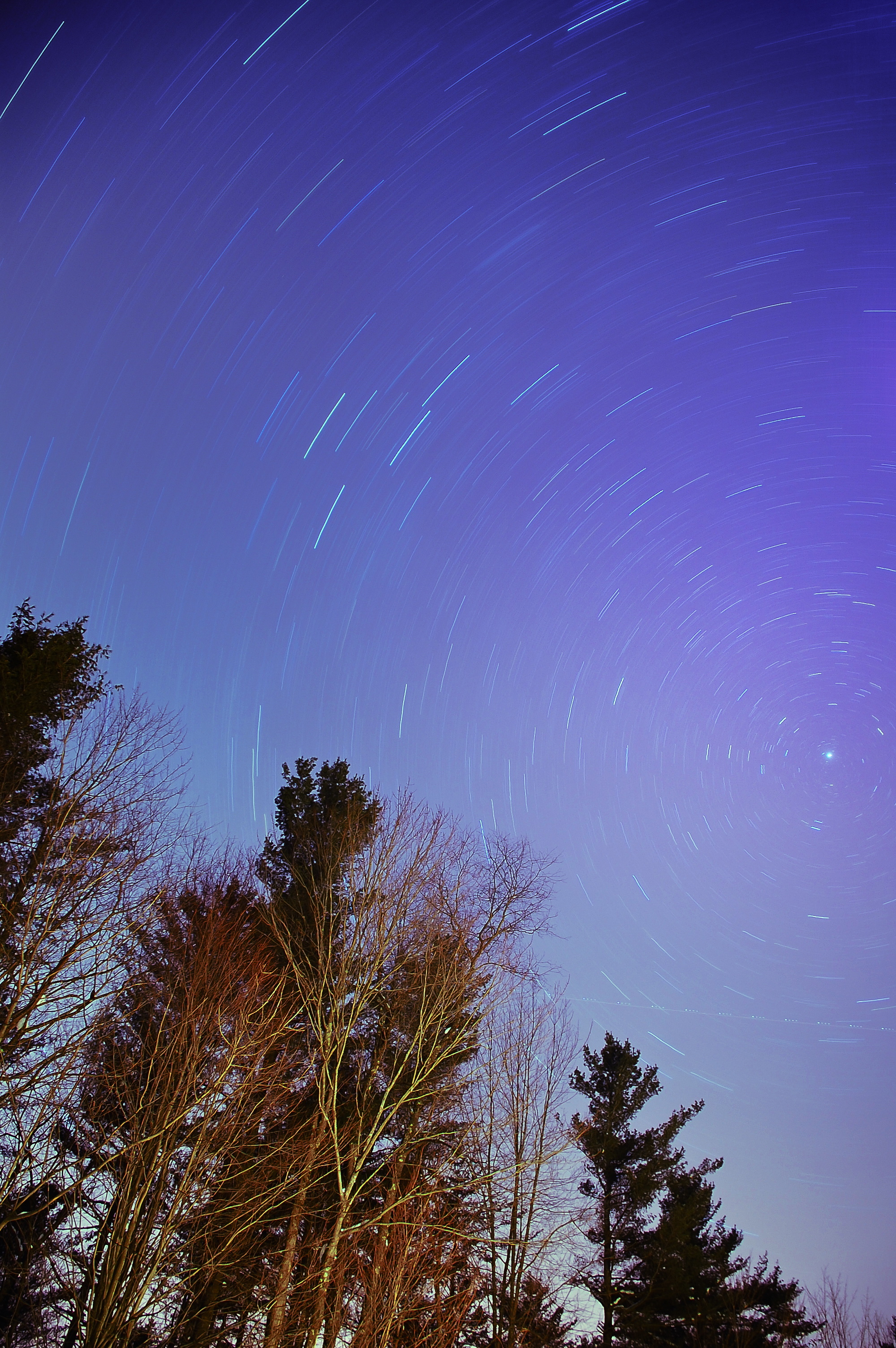
The North Star

Neighborhood Sunset
Smugglers Notch

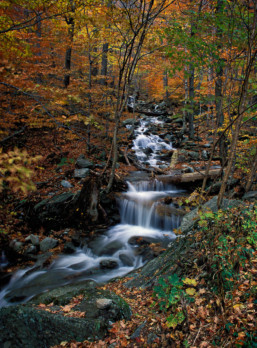
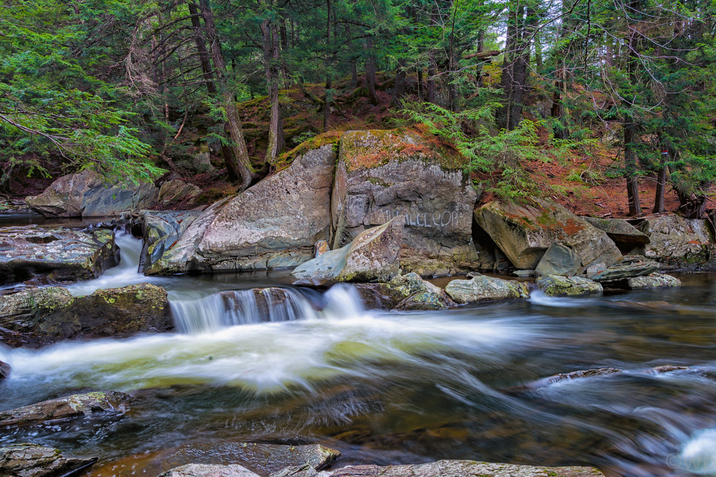
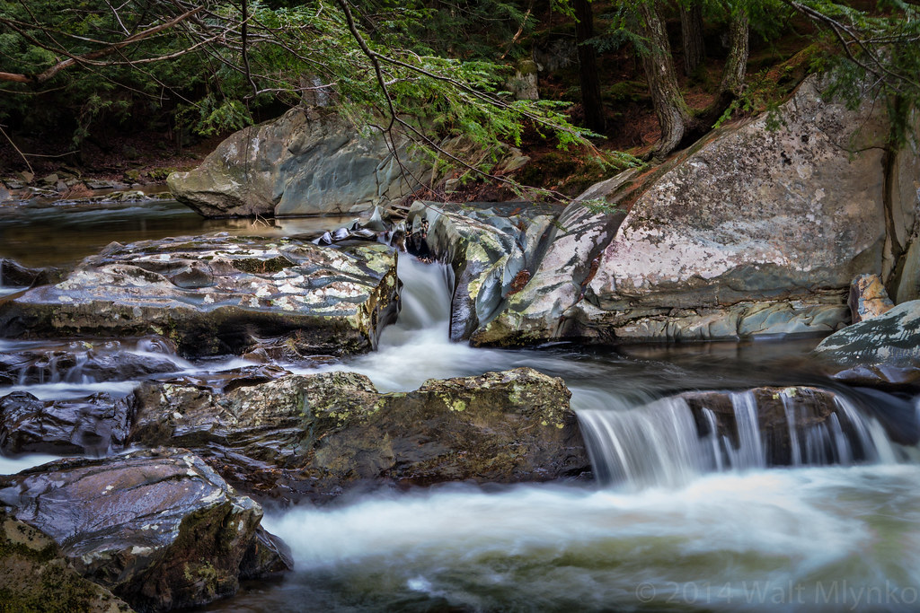
Mill Brook Falls

Don't cry because it's over, smile because it happened...
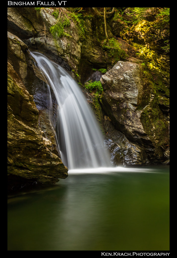
Bingham Falls 8-1-12 (10)

Smugglers' Notch Waterfall Landscape
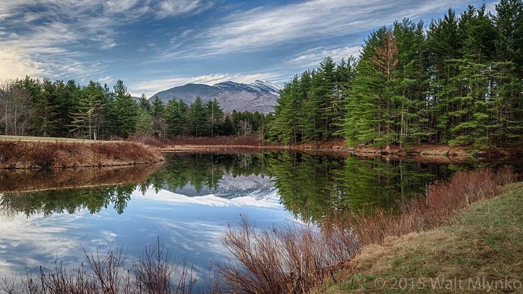
Vermont Pond

Reaching Up, Branching Out
Vermont_D718576-Edit-Edit.jpg

A Brook at Smuggler's Notch
I can see my house from here

Puffy Blades
Vermont_DSC0862-Edit-Edit2.jpg
Vermont_D718863-Edit.jpg
The very essence of romance is uncertainty...
Milton Falls
Underhill Barn
t42_901120151011_DSC5284.jpg

Notch Beaver Pond 1
Deep Green Vermont
Topographic Map of Cilley Hill Rd, Jericho, VT, USA
Find elevation by address:

Places near Cilley Hill Rd, Jericho, VT, USA:
230 Cilley Hill Rd
34 Foothills Dr
476 Vt-15
33 Foothills Dr
7 Hawk Ridge
Xenophon Drive
Underhill
773 Osgood Hill Rd
Mills Riverside Park
97 Machia Hill Rd
Stewart Hill
19 Machia Hill Rd
53 Vt-15
Sleepy Hollow Road
Jericho
Jericho
255 W Sleepy Hollow Rd
10 Mountain View Rd
258 W Sleepy Hollow Rd
260 W Sleepy Hollow Rd
Recent Searches:
- Elevation of Jadagoniai, Kaunas District Municipality, Lithuania
- Elevation of Pagonija rock, Kranto 7-oji g. 8"N, Kaunas, Lithuania
- Elevation of Co Rd 87, Jamestown, CO, USA
- Elevation of Tenjo, Cundinamarca, Colombia
- Elevation of Côte-des-Neiges, Montreal, QC H4A 3J6, Canada
- Elevation of Bobcat Dr, Helena, MT, USA
- Elevation of Zu den Ihlowbergen, Althüttendorf, Germany
- Elevation of Badaber, Peshawar, Khyber Pakhtunkhwa, Pakistan
- Elevation of SE Heron Loop, Lincoln City, OR, USA
- Elevation of Slanický ostrov, 01 Námestovo, Slovakia