Elevation of 1 Birch Ridge Rd, Westford, VT, USA
Location: United States > Vermont > Chittenden County > Westford >
Longitude: -73.044305
Latitude: 44.613492
Elevation: 267m / 876feet
Barometric Pressure: 98KPa
Elevation Map:
Satellite Map:
Related Photos:

View from Hardscrabble Road

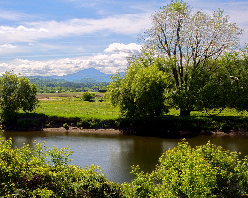
Winooski River
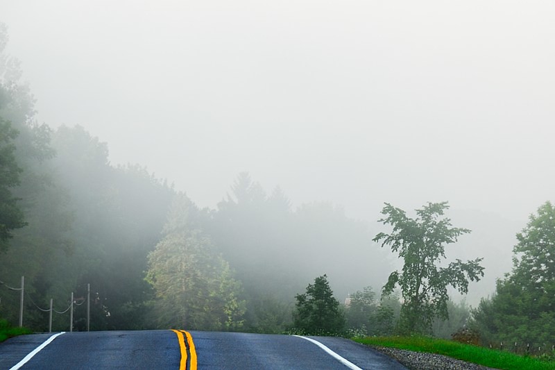
Road into Foggy Uncertainty (DSH_5313)
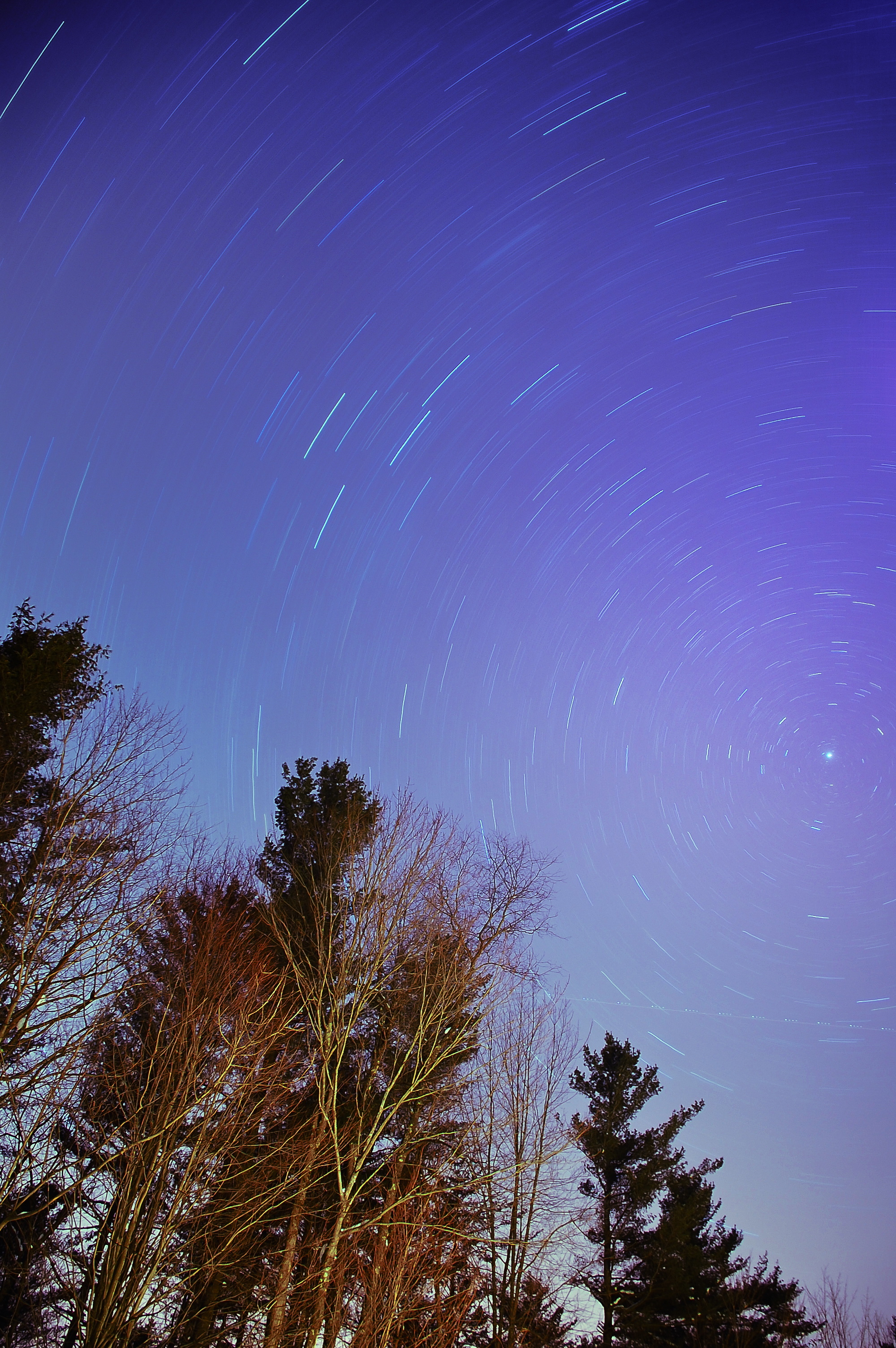
The North Star

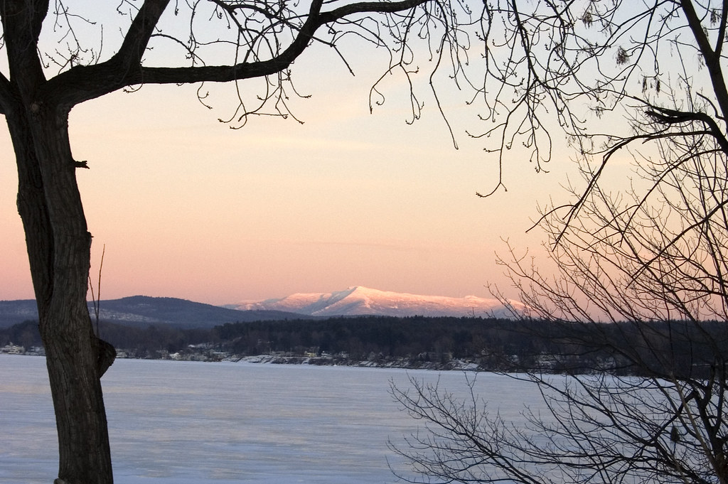
Sand Bar Sunset

Female Ruby-throated hummingbird
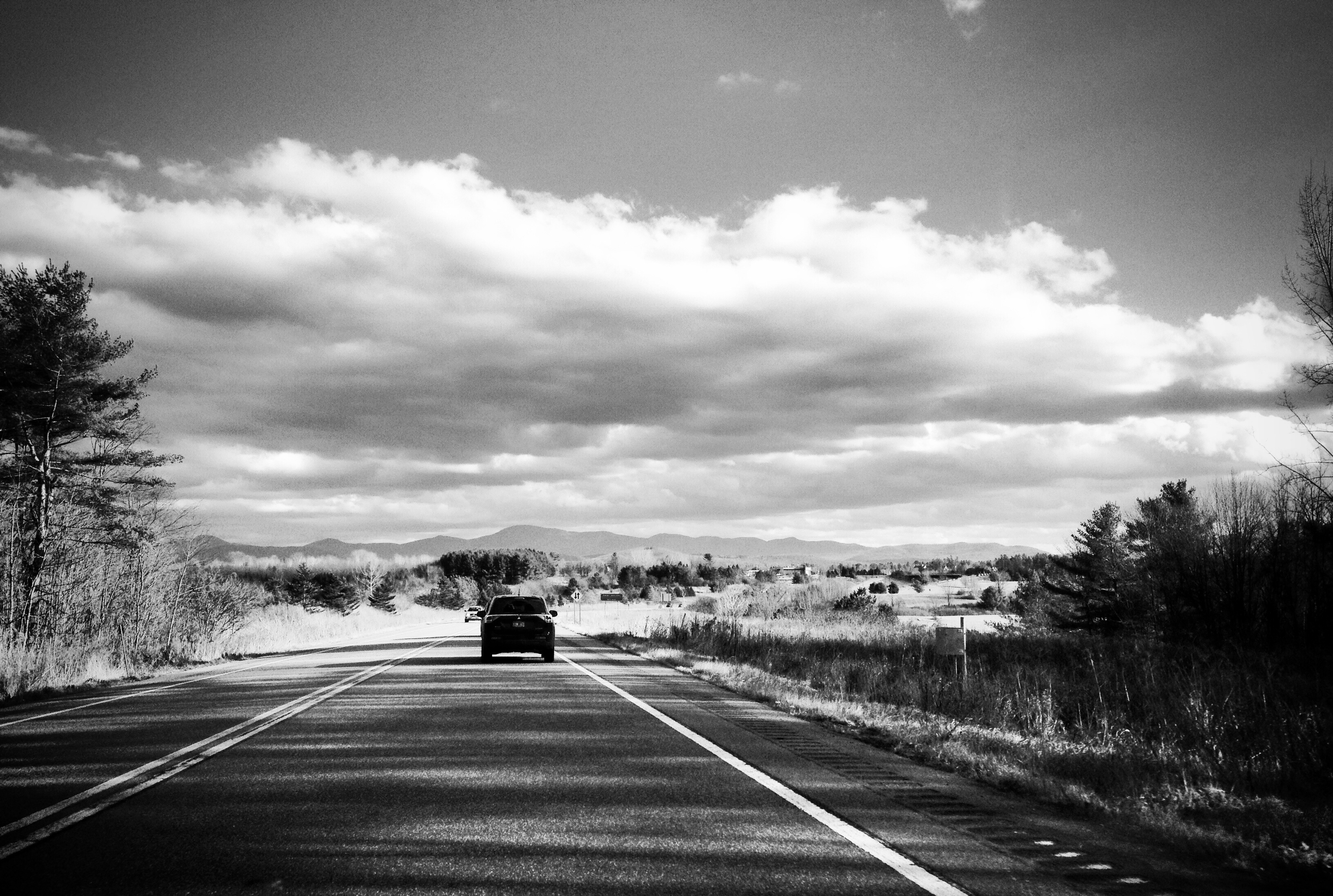
Vermont driving views

Close Shave
River View
After the Rain
The profile

From the Porch
The Leap

Big View

December View

Neighborhood Sunset
single exposure

rainbow panorama
Mt. Mansfield at Dusk
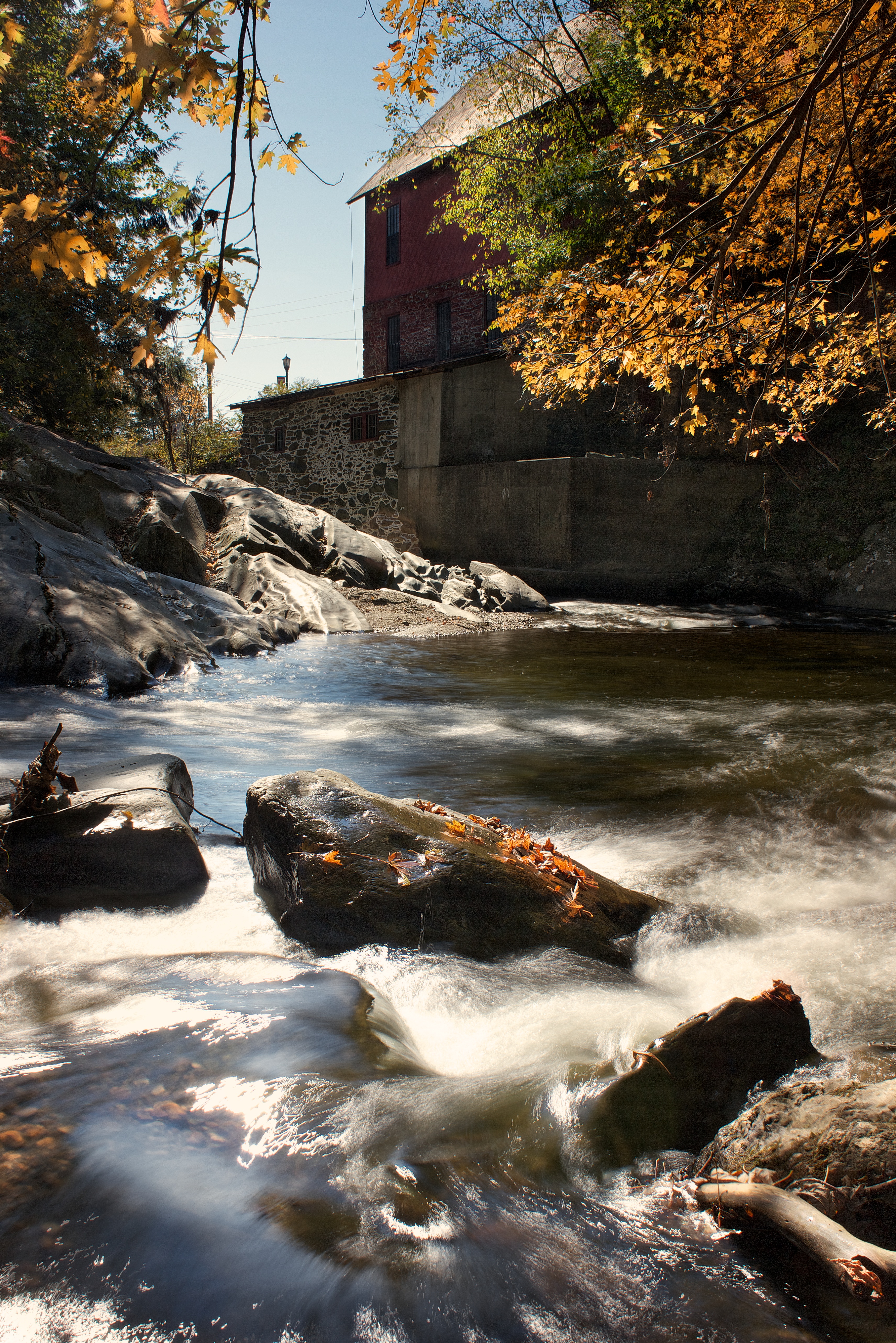
Old Red Mill
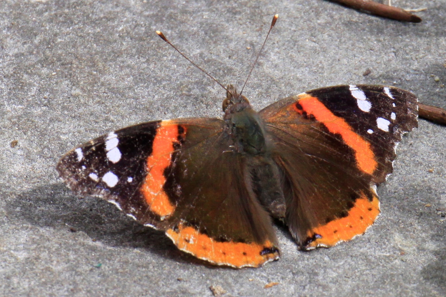
RED ADMIRAL
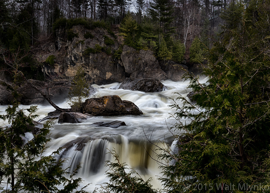
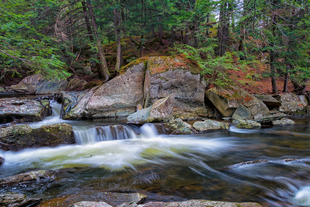
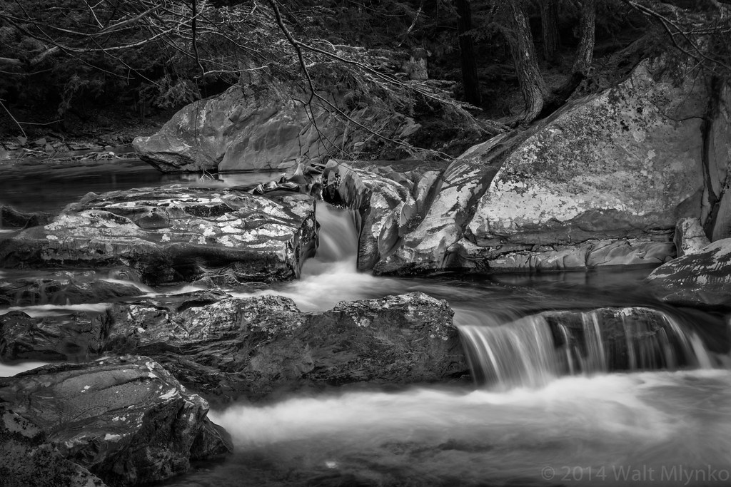
Milton Falls

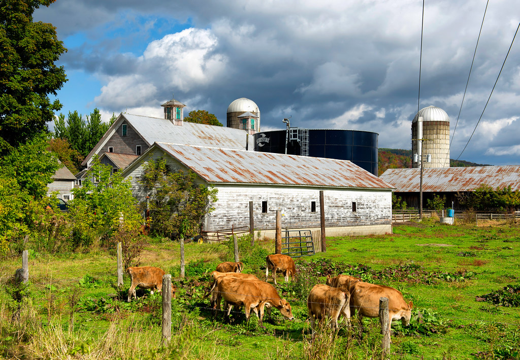
Tinker Farm in Fletcher, Vermont

Trees West

Fairground Sunset

Fall_Folliage_2014-1002
Vermont_D718576-Edit-Edit.jpg
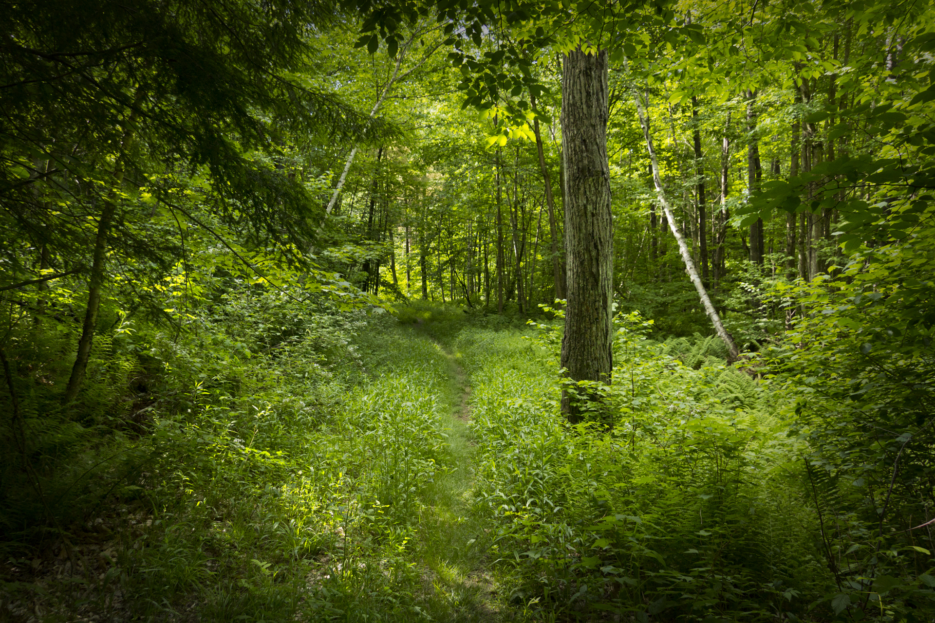
Deep Green Vermont
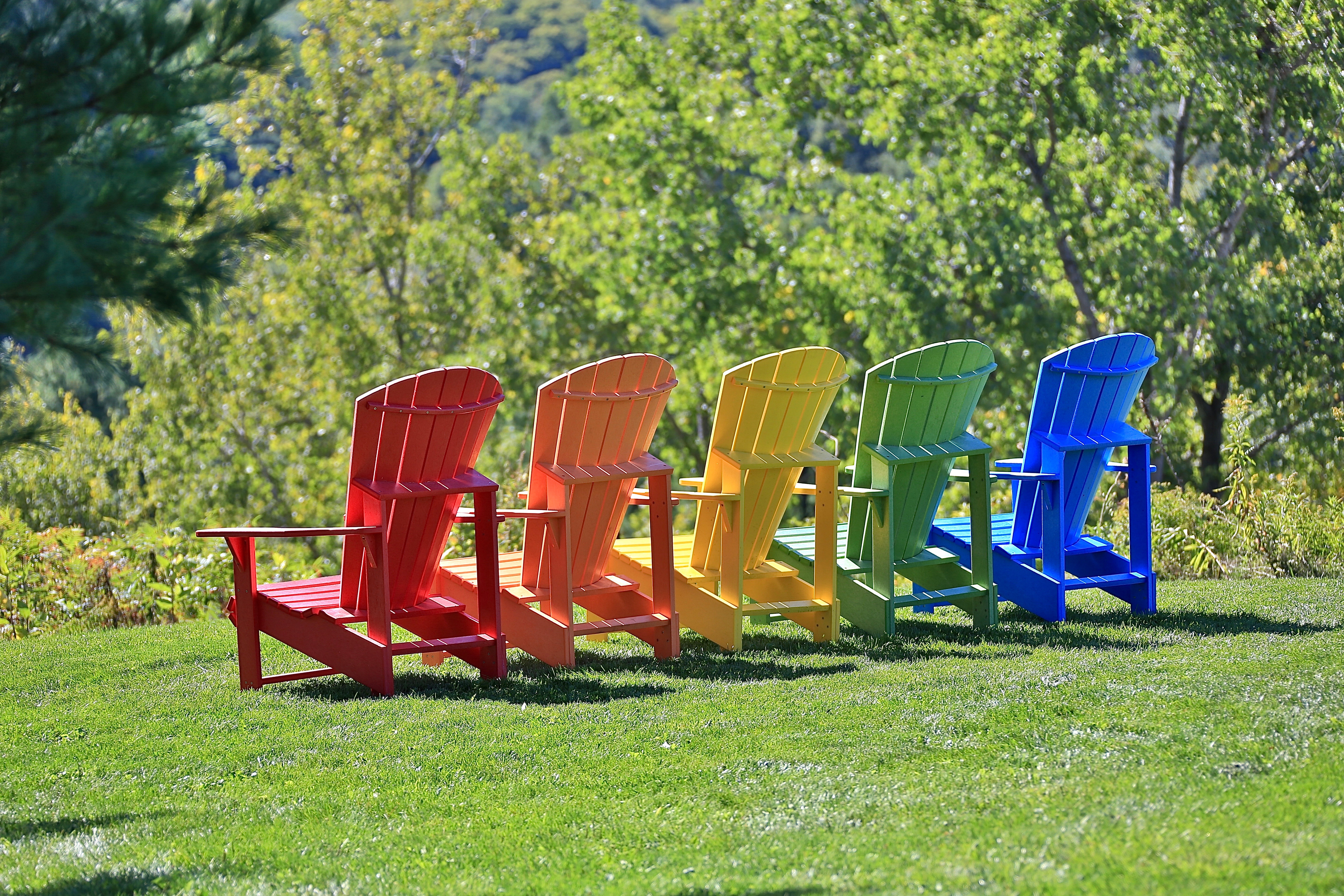
Colorful Adirondack chairs
Vermont_DSC0862-Edit-Edit2.jpg
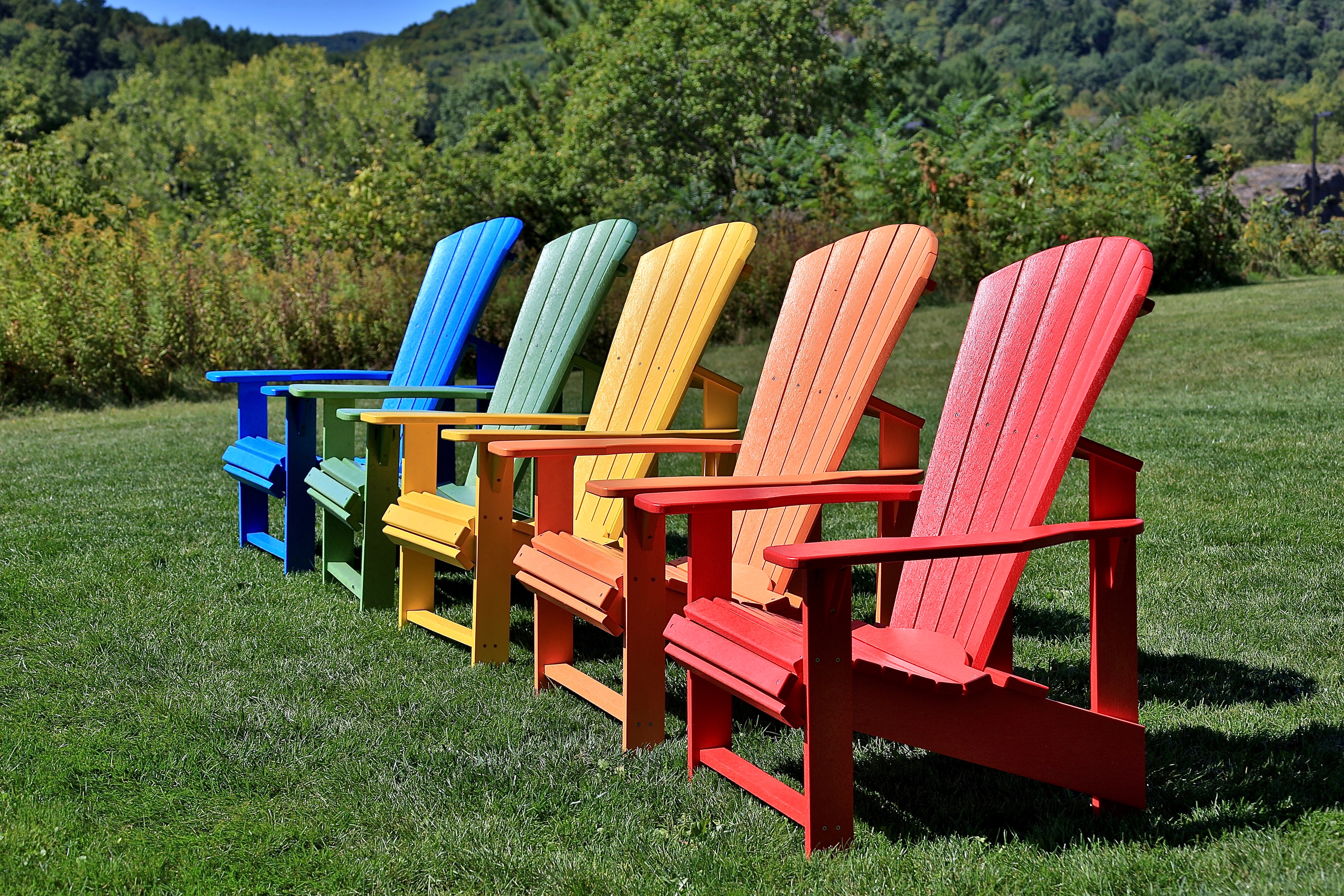
Colorful Adirondack chairs

Snow and Sky

Winter Night
Vermont_D718863-Edit.jpg

Clear High

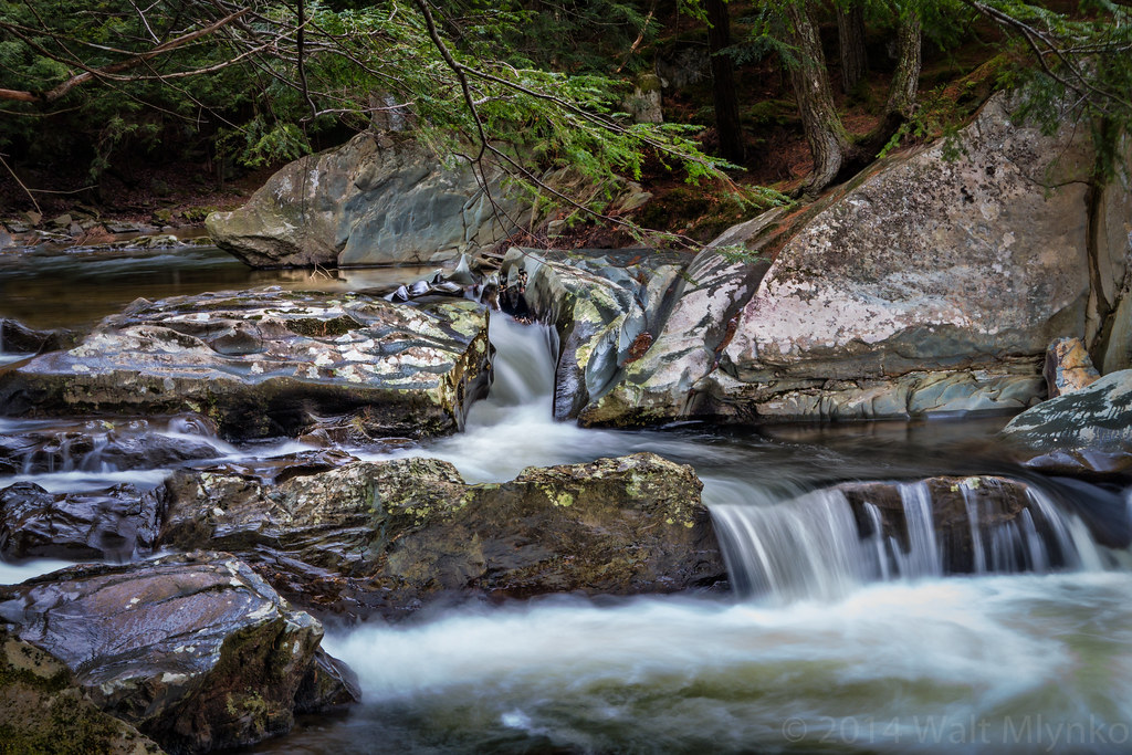
Stone Brook with Sun and Ice
t42_901120151011_DSC5284.jpg

New Corn in the Morning Sun

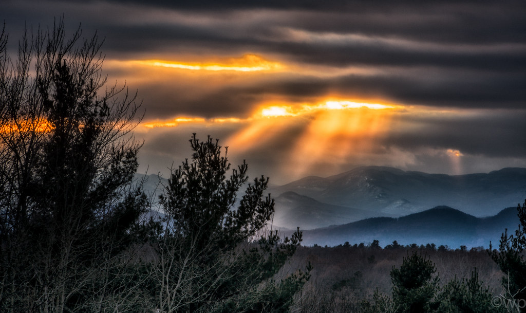
Golden sunrise
Vermont_DSC0862-Edit-Edit.jpg
Topographic Map of 1 Birch Ridge Rd, Westford, VT, USA
Find elevation by address:

Places near 1 Birch Ridge Rd, Westford, VT, USA:
1511 Old Stage Rd
1602 Old Stage Rd
1600 Old Stage Rd
1600 Old Stage Rd
1302 Old Stage Rd
375 Westford-milton Rd
6 Woods Hollow Rd, Westford, VT, USA
Westford
341 Chapin Rd
19 Machia Hill Rd
773 Osgood Hill Rd
14 Learned Dr
Stewart Hill
274 Brigham Hill Rd
97 Machia Hill Rd
Milton
Milton
Rebecca Lander Drive
Essex Town
229 Middle Rd
Recent Searches:
- Elevation of 7 Waterfall Way, Tomball, TX, USA
- Elevation of SW 57th Ave, Portland, OR, USA
- Elevation of Crocker Dr, Vacaville, CA, USA
- Elevation of Pu Ngaol Community Meeting Hall, HWHM+3X7, Krong Saen Monourom, Cambodia
- Elevation of Royal Ontario Museum, Queens Park, Toronto, ON M5S 2C6, Canada
- Elevation of Groblershoop, South Africa
- Elevation of Power Generation Enterprises | Industrial Diesel Generators, Oak Ave, Canyon Country, CA, USA
- Elevation of Chesaw Rd, Oroville, WA, USA
- Elevation of N, Mt Pleasant, UT, USA
- Elevation of 6 Rue Jules Ferry, Beausoleil, France