Elevation of Sterling, OK, USA
Location: United States > Oklahoma > Comanche County >
Longitude: -98.171713
Latitude: 34.7503489
Elevation: 374m / 1227feet
Barometric Pressure: 97KPa
Elevation Map:
Satellite Map:
Related Photos:

iPhone Sunset

Purple Aura

Little Washita Cemetery (06)
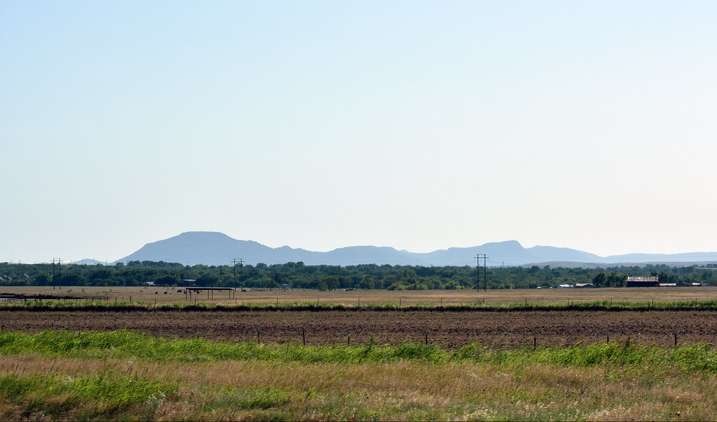
Wichita Mountains

Memorial Day is an American holiday, observed on the last Monday of May, honoring the men and women who died while serving in the U.S. military.

Oklahoma horse

Oklahoma horse

Oklahoma horse

Sweet kitten

Sweet kittens

Random IOS photos

Random IOS photos

Little Washita Cemetery (01)

Little Washita Cemetery (02)
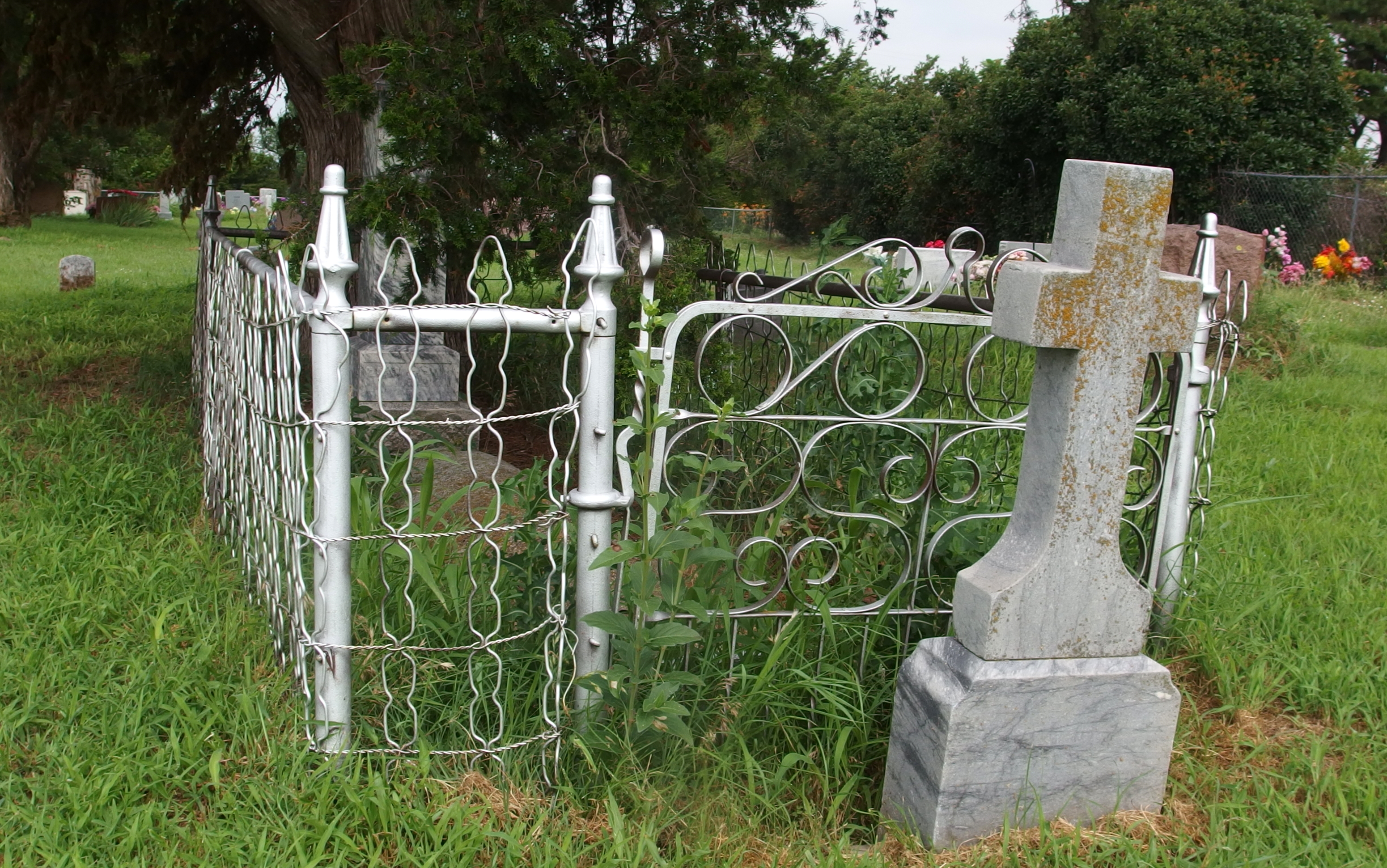
Little Washita Cemetery (04)

Little Washita Cemetery (05)

Little Washita Cemetery (07)

Little Washita Cemetery (08)

Planning this afternoon sun path for the ceremony. #planning #PhotographyIsLife

Barn Swallow

Common Nighthawk

Amazing session with incredible couple in wonderful countryside farm. #wedding #Oklahoma
Topographic Map of Sterling, OK, USA
Find elevation by address:

Places near Sterling, OK, USA:
W Main St, Marlow, OK, USA
Woods Road
21811 Ne Cross Rd
Fletcher
Cole Ave, Fletcher, OK, USA
U.s. 277
Elgin Public Schools
OK-65, Lawton, OK, USA
Elgin
Cyril
W Main St, Anadarko, OK, USA
OK-65, Lawton, OK, USA
S Oak St, Cement, OK, USA
Cement
Cement
4406 Se 90th St
Rush Springs
US-62, Elgin, OK, USA
Comanche Nation Tribal Complex
Comanche County
Recent Searches:
- Elevation of Congressional Dr, Stevensville, MD, USA
- Elevation of Bellview Rd, McLean, VA, USA
- Elevation of Stage Island Rd, Chatham, MA, USA
- Elevation of Shibuya Scramble Crossing, 21 Udagawacho, Shibuya City, Tokyo -, Japan
- Elevation of Jadagoniai, Kaunas District Municipality, Lithuania
- Elevation of Pagonija rock, Kranto 7-oji g. 8"N, Kaunas, Lithuania
- Elevation of Co Rd 87, Jamestown, CO, USA
- Elevation of Tenjo, Cundinamarca, Colombia
- Elevation of Côte-des-Neiges, Montreal, QC H4A 3J6, Canada
- Elevation of Bobcat Dr, Helena, MT, USA