Elevation of Cyril, OK, USA
Location: United States > Oklahoma > Caddo County >
Longitude: -98.200604
Latitude: 34.8964555
Elevation: 416m / 1365feet
Barometric Pressure: 96KPa
Elevation Map:
Satellite Map:
Related Photos:

Purple Aura
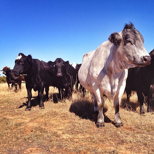
Holy cow!

Mount Scott Sunrise

Jari is not impressed

Storm in infancy stage south of Chickasha
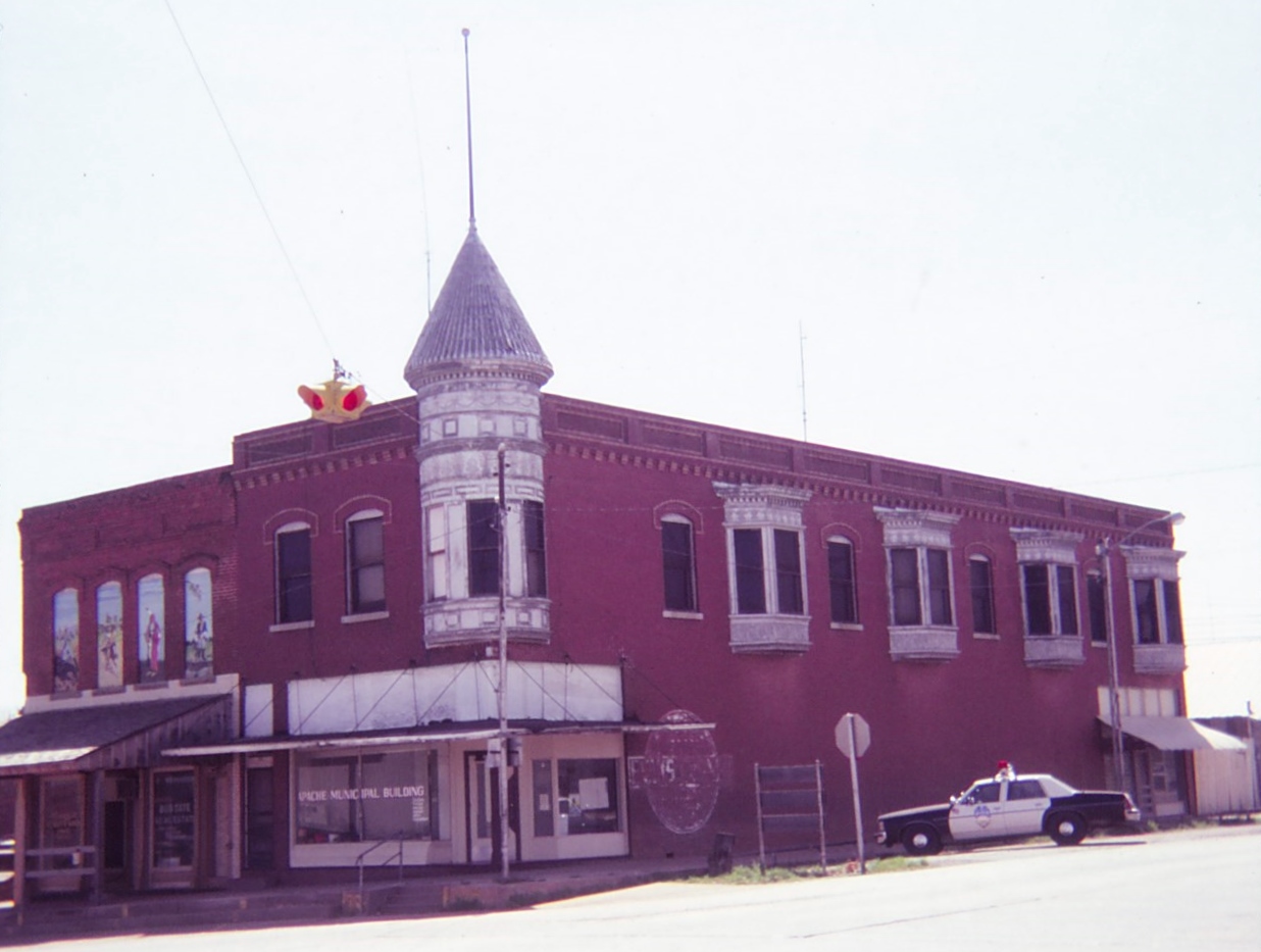
Apache, Oklahoma
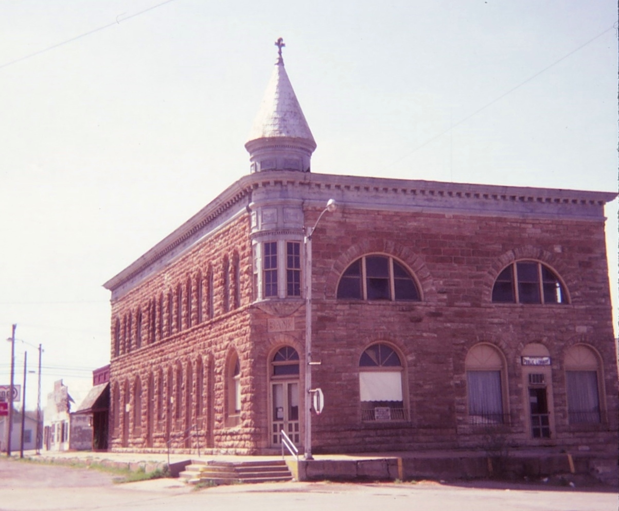
Apache, Oklahoma
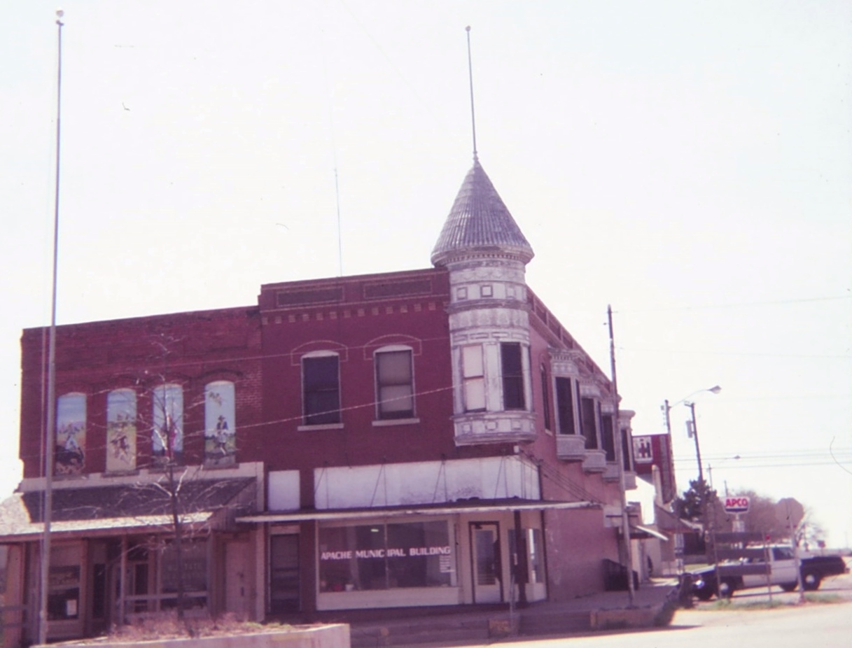
Apache, Oklahoma

Oklahoma Indians

Barn Swallow

Exploring Oklahoma on road trip home. @sonicdrivein with inside sitting! First time! #roadtrip #exploreoklahoma

Beyond the Mountains

Rodeo-43

Rodeo-39

Rodeo-38

Rodeo-37

Rodeo-36

Rodeo-34

Rodeo-33

Rodeo-31
Topographic Map of Cyril, OK, USA
Find elevation by address:

Places in Cyril, OK, USA:
Places near Cyril, OK, USA:
W Main St, Anadarko, OK, USA
S Oak St, Cement, OK, USA
Cement
Cement
U.s. 277
Cole Ave, Fletcher, OK, USA
Fletcher
Elgin Public Schools
Elgin
Sterling
W Main St, Marlow, OK, USA
Woods Road
Anadarko, OK, USA
Anadarko
21811 Ne Cross Rd
US-62, Elgin, OK, USA
Caddo County
OK-65, Lawton, OK, USA
Comanche Nation Tribal Complex
3216 S 25th St
Recent Searches:
- Elevation of Tenjo, Cundinamarca, Colombia
- Elevation of Côte-des-Neiges, Montreal, QC H4A 3J6, Canada
- Elevation of Bobcat Dr, Helena, MT, USA
- Elevation of Zu den Ihlowbergen, Althüttendorf, Germany
- Elevation of Badaber, Peshawar, Khyber Pakhtunkhwa, Pakistan
- Elevation of SE Heron Loop, Lincoln City, OR, USA
- Elevation of Slanický ostrov, 01 Námestovo, Slovakia
- Elevation of Spaceport America, Co Rd A, Truth or Consequences, NM, USA
- Elevation of Warwick, RI, USA
- Elevation of Fern Rd, Whitmore, CA, USA