Elevation of OK-65, Lawton, OK, USA
Location: United States > Oklahoma > Comanche County > Lawton >
Longitude: -98.212253
Latitude: 34.5791988
Elevation: 353m / 1158feet
Barometric Pressure: 97KPa
Elevation Map:
Satellite Map:
Related Photos:

Dogs Eye View iPhone Macro Lens

MacArthur Park House-side view

365-72

MacArthur Park House-front view
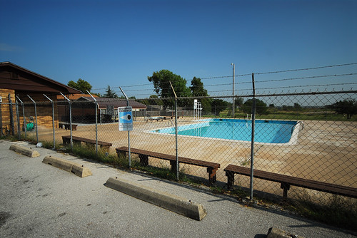
MacArthur Park Pool 2

.

Cache Road-6

.

frosted grasses

Bethel, OK Sunset
Topographic Map of OK-65, Lawton, OK, USA
Find elevation by address:

Places near OK-65, Lawton, OK, USA:
OK-65, Lawton, OK, USA
4406 Se 90th St
21811 Ne Cross Rd
Flower Mound
807 Se 3rd St
Woods Road
W Main St, Marlow, OK, USA
Sterling
Lawton
7404 Hidden Creek Dr
Comanche County
Fort Sill
Prentice NW, Lawton, OK, USA
Elgin Public Schools
Elgin
7205 Red Robin Rd
Cameron University
2820 Nw Ozmun Ave
3001 Bible Way
Comanche Nation Tribal Complex
Recent Searches:
- Elevation of Lampiasi St, Sarasota, FL, USA
- Elevation of Elwyn Dr, Roanoke Rapids, NC, USA
- Elevation of Congressional Dr, Stevensville, MD, USA
- Elevation of Bellview Rd, McLean, VA, USA
- Elevation of Stage Island Rd, Chatham, MA, USA
- Elevation of Shibuya Scramble Crossing, 21 Udagawacho, Shibuya City, Tokyo -, Japan
- Elevation of Jadagoniai, Kaunas District Municipality, Lithuania
- Elevation of Pagonija rock, Kranto 7-oji g. 8"N, Kaunas, Lithuania
- Elevation of Co Rd 87, Jamestown, CO, USA
- Elevation of Tenjo, Cundinamarca, Colombia