Elevation of State Hwy Z, Hayti, MO, USA
Location: United States > Missouri > Pemiscot County > Braggadocio Township > Hayti >
Longitude: -89.825605
Latitude: 36.2176848
Elevation: 81m / 266feet
Barometric Pressure: 100KPa
Elevation Map:
Satellite Map:
Related Photos:

Between You and Me

Flower Du Jour - 3/3
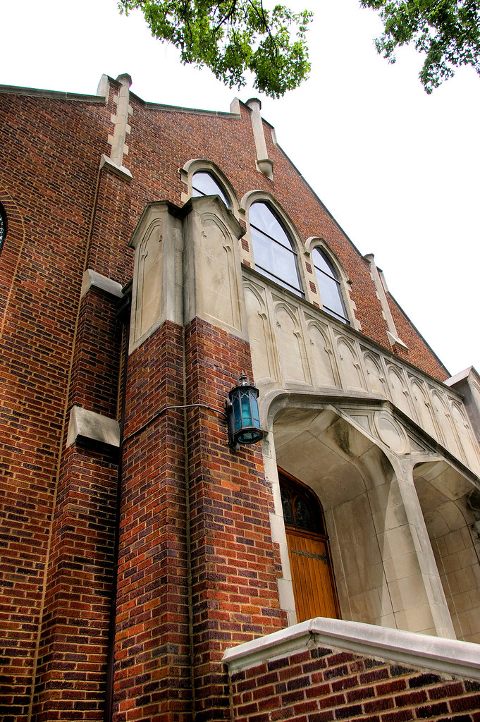
ANGLED VIEW OF UNITED METHODIST CHURCH

FRONT VIEW OF PEMISCOT COUNTY COURTHOUSE

Caruthersville 029

How To Say Goodbye

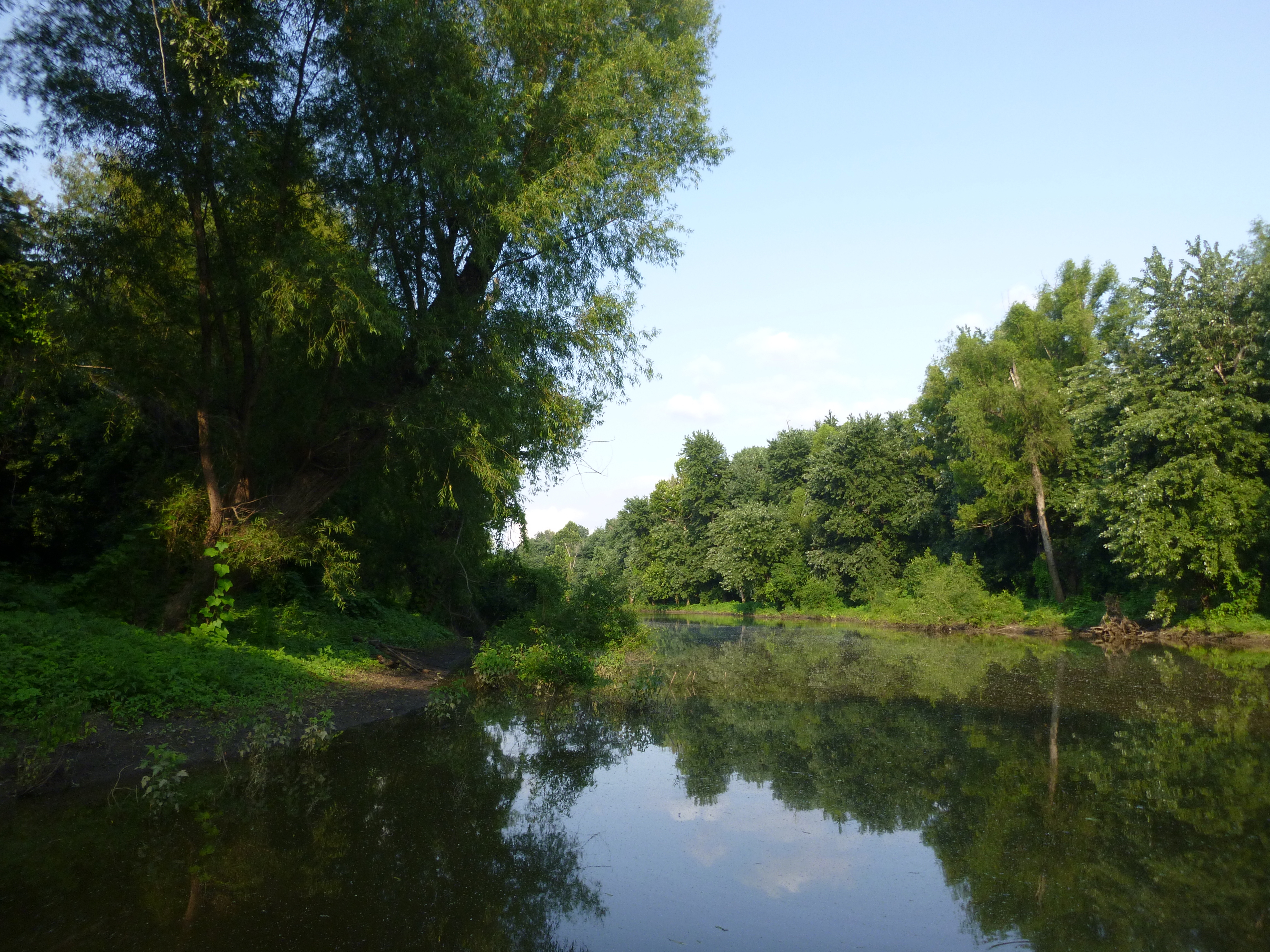
Just around the bend

Swamp gkost mistress trees
Ag Achievement Awards
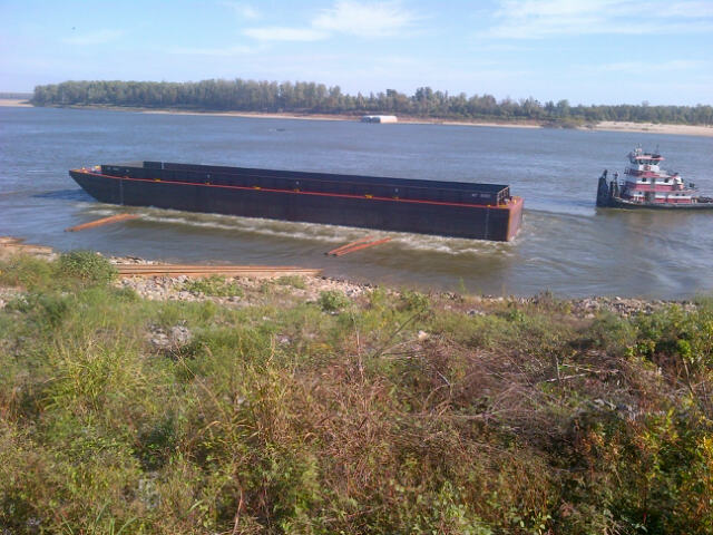
Black Island Conservation Area
Topographic Map of State Hwy Z, Hayti, MO, USA
Find elevation by address:

Places near State Hwy Z, Hayti, MO, USA:
Pemiscot County
1891 State Hwy Z
Braggadocio Township
Hayti
Little Prairie Township
E Main St, Steele, MO, USA
Caruthersville
AR-, Blytheville, AR, USA
517 W Main St
Portage Township
Portageville
E Main St, Portageville, MO, USA
Chic Rd, Finley, TN, USA
State Hwy Spur, Blytheville, AR, USA
Canadian Township
Miston, TN, USA
Gosnell
Bevill Ave, Blytheville, AR, USA
AR-, Blytheville, AR, USA
Titan Rd, Ridgely, TN, USA
Recent Searches:
- Elevation of Dog Leg Dr, Minden, NV, USA
- Elevation of Dog Leg Dr, Minden, NV, USA
- Elevation of Kambingan Sa Pansol Atbp., Purok 7 Pansol, Candaba, Pampanga, Philippines
- Elevation of Pinewood Dr, New Bern, NC, USA
- Elevation of Mountain View, CA, USA
- Elevation of Foligno, Province of Perugia, Italy
- Elevation of Blauwestad, Netherlands
- Elevation of Bella Terra Blvd, Estero, FL, USA
- Elevation of Estates Loop, Priest River, ID, USA
- Elevation of Woodland Oak Pl, Thousand Oaks, CA, USA