Elevation of Chic Rd, Finley, TN, USA
Location: United States > Tennessee > Dyer County > Finley >
Longitude: -89.688736
Latitude: 36.00329
Elevation: 79m / 259feet
Barometric Pressure: 100KPa
Elevation Map:
Satellite Map:
Related Photos:
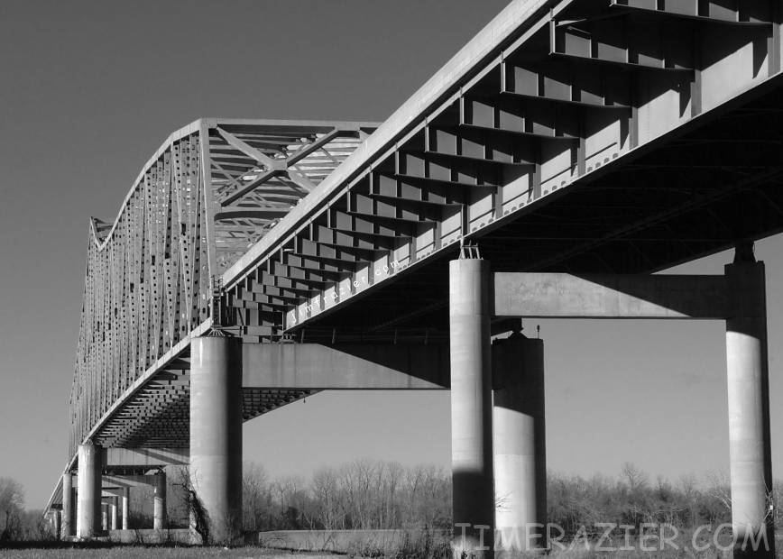
Caruthersville Bridge
Caruthersville Bridge

2009-07-19 20.30.49

fire in the sky

Caruthersville Bridge

Gonna Jump Down
2009-07-20 08.43.01

#Missouri #sunset #roadwarrior #travel
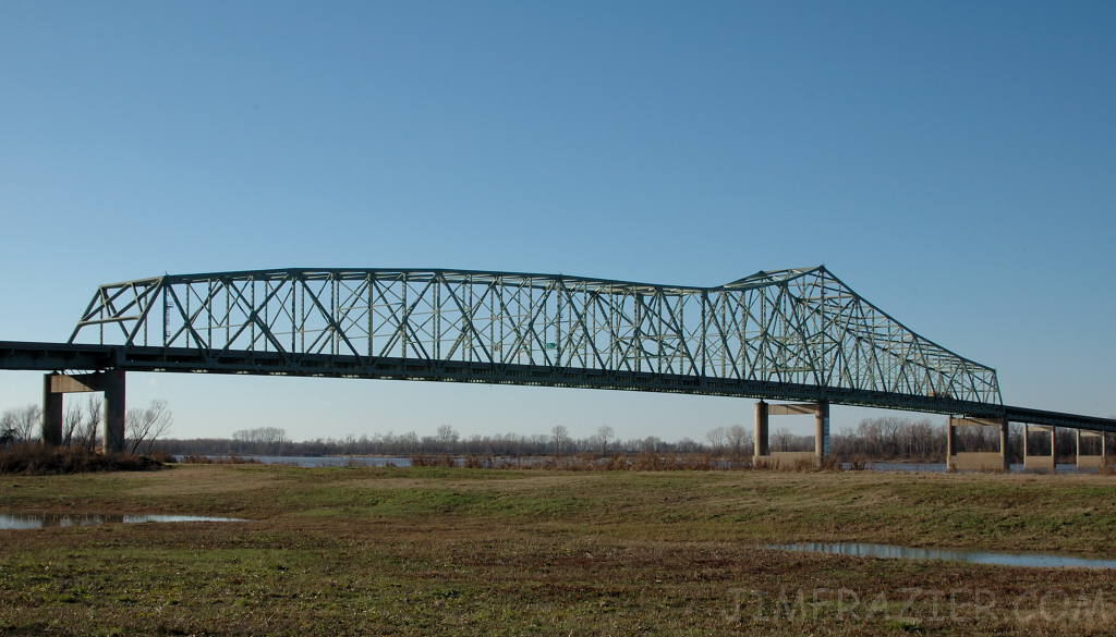
I-155 Bridge, Pemiscot County (Mo.), 20 October 2015
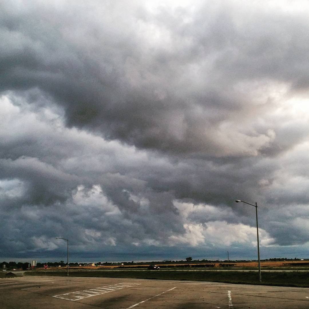
#Missouri last week #CloudFormations #skyview #stormy #cloudy

Photo made by InstaPlace #instaplace #instaplaceapp #android #holland #unitedstates #day #summer #us

Photo made by InstaPlace #instaplace #instaplaceapp #android #holland #unitedstates #day #summer #us

Photo made by Instaweather Free App! @instaweatherpro #instaweather #instaweatherpro #weather #wx #android #steele #mo #day #summer #clear #morning #hot #mo

#CloudFormations #mowx #Missouri #skyline

bootheel of mo 10-12-2014
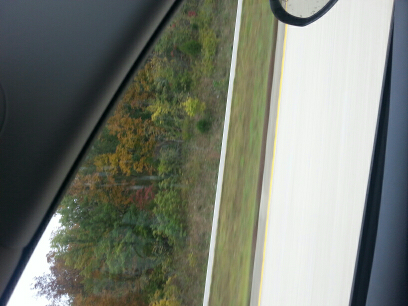
fall colors down in the bootheal of mo

Oversized Load

Roadside Memorial, MO Rt 164, Pemiscot County MO
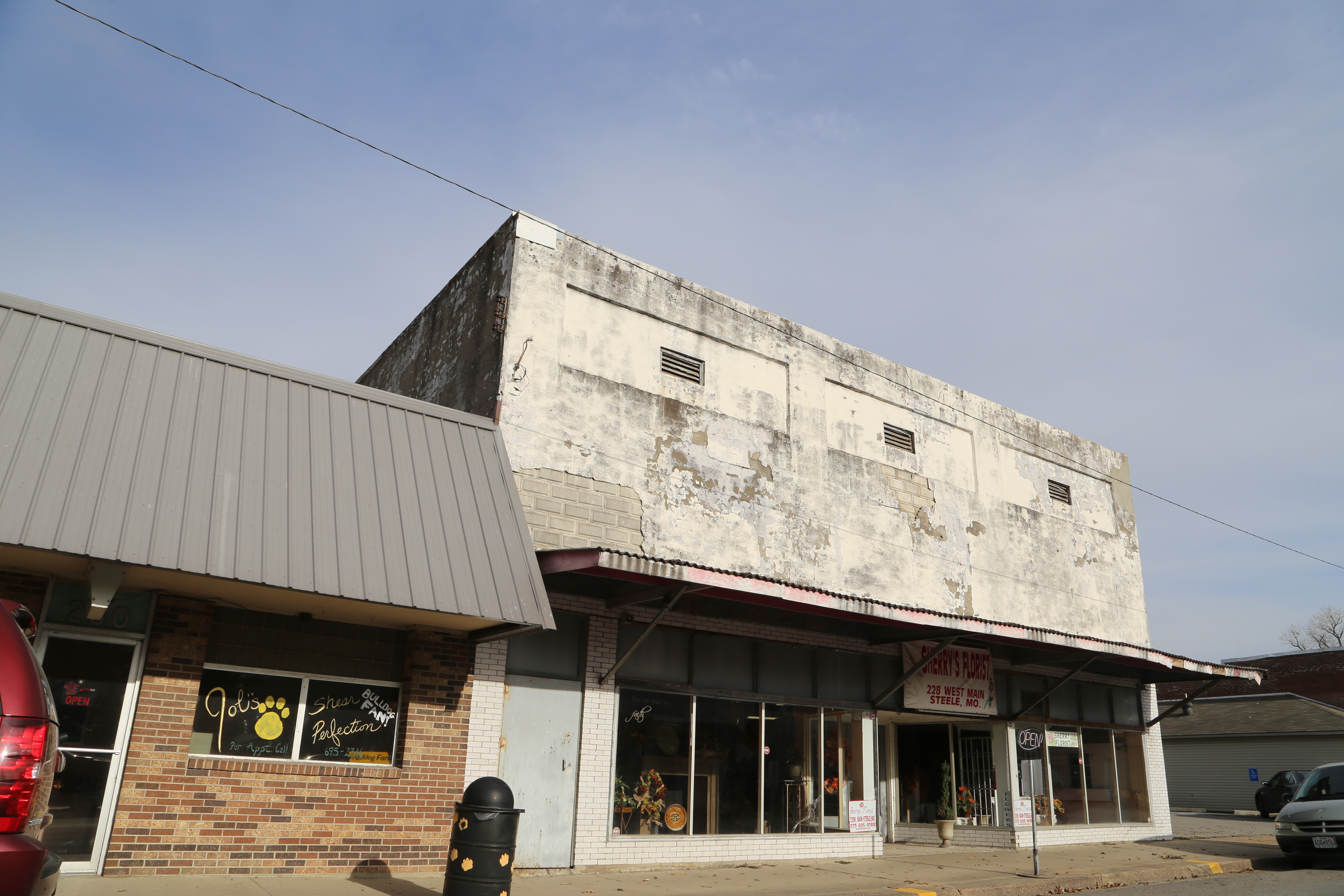
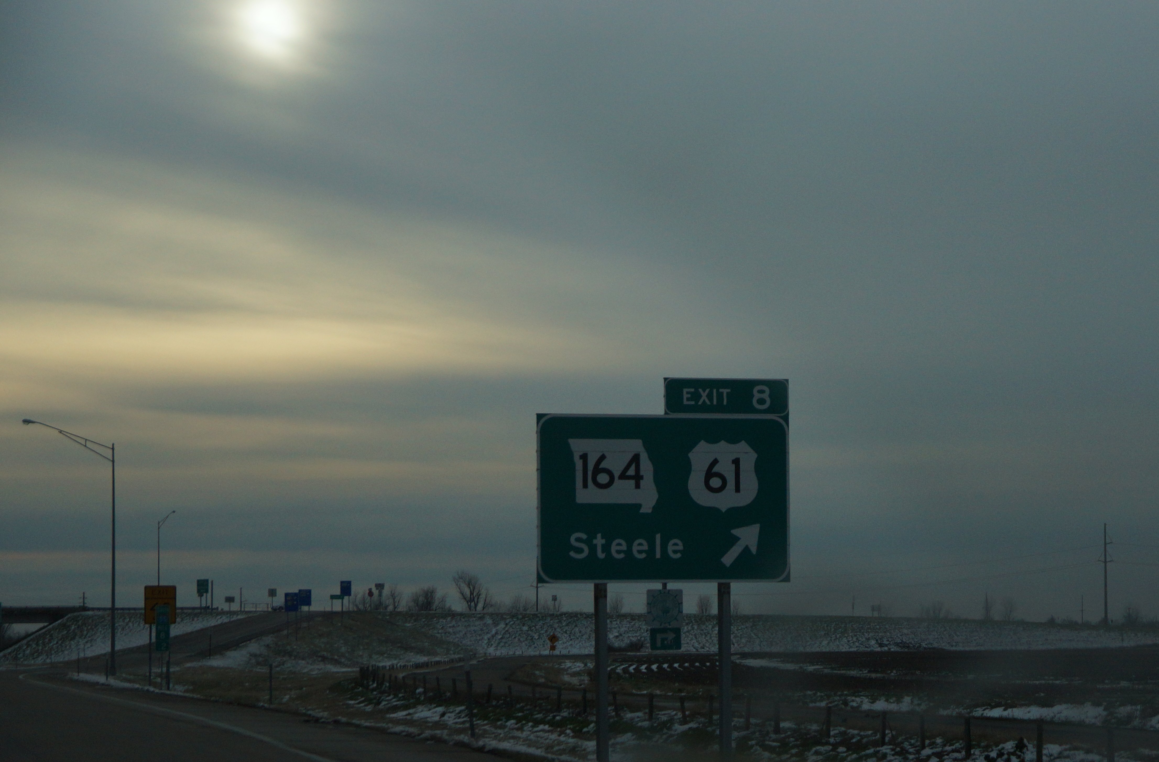
Steele Missouri, Pemiscot County MO
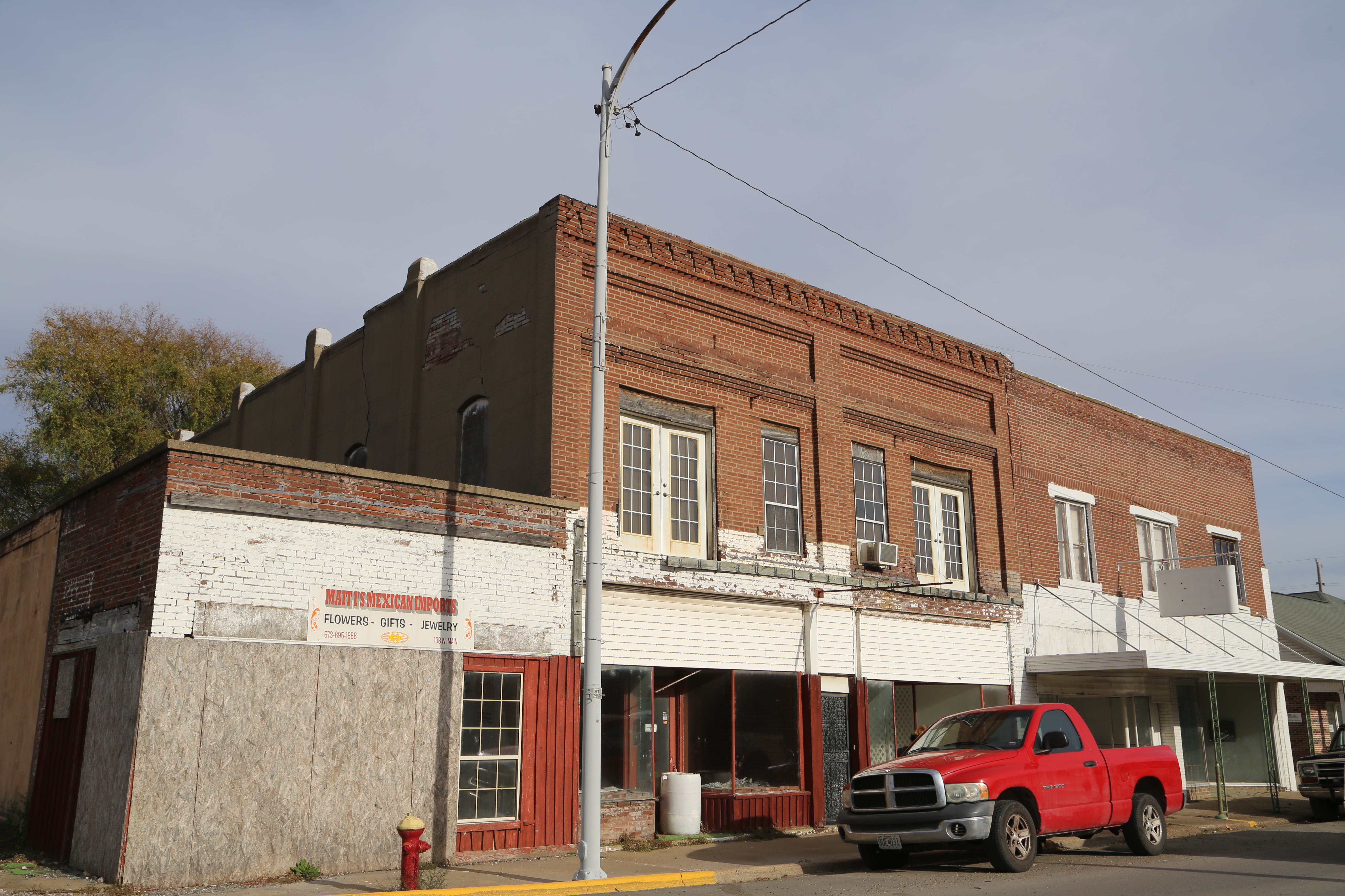
Steele Missouri, Pemiscot County MO
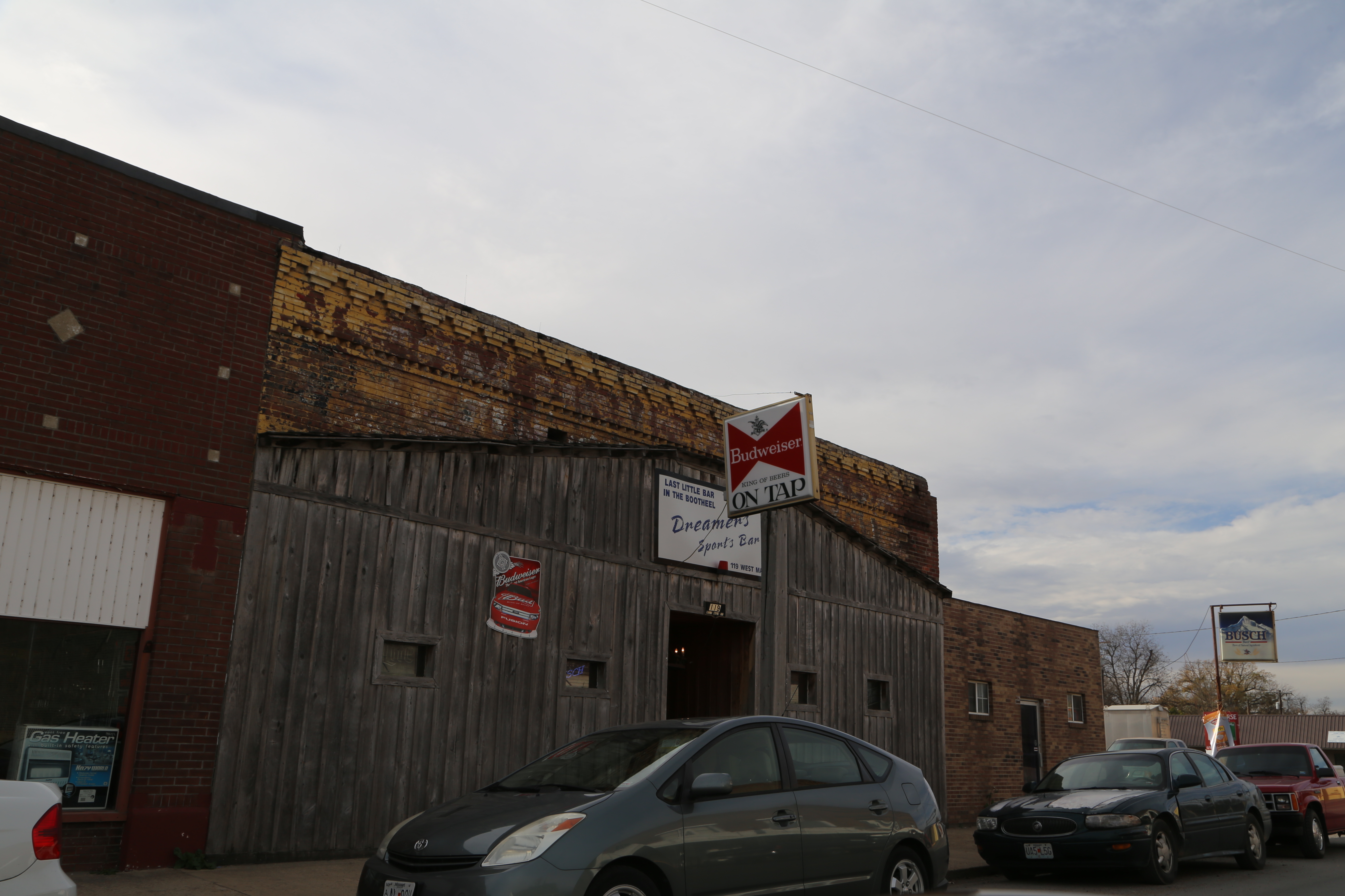
Steele Missouri, Pemiscot County MO
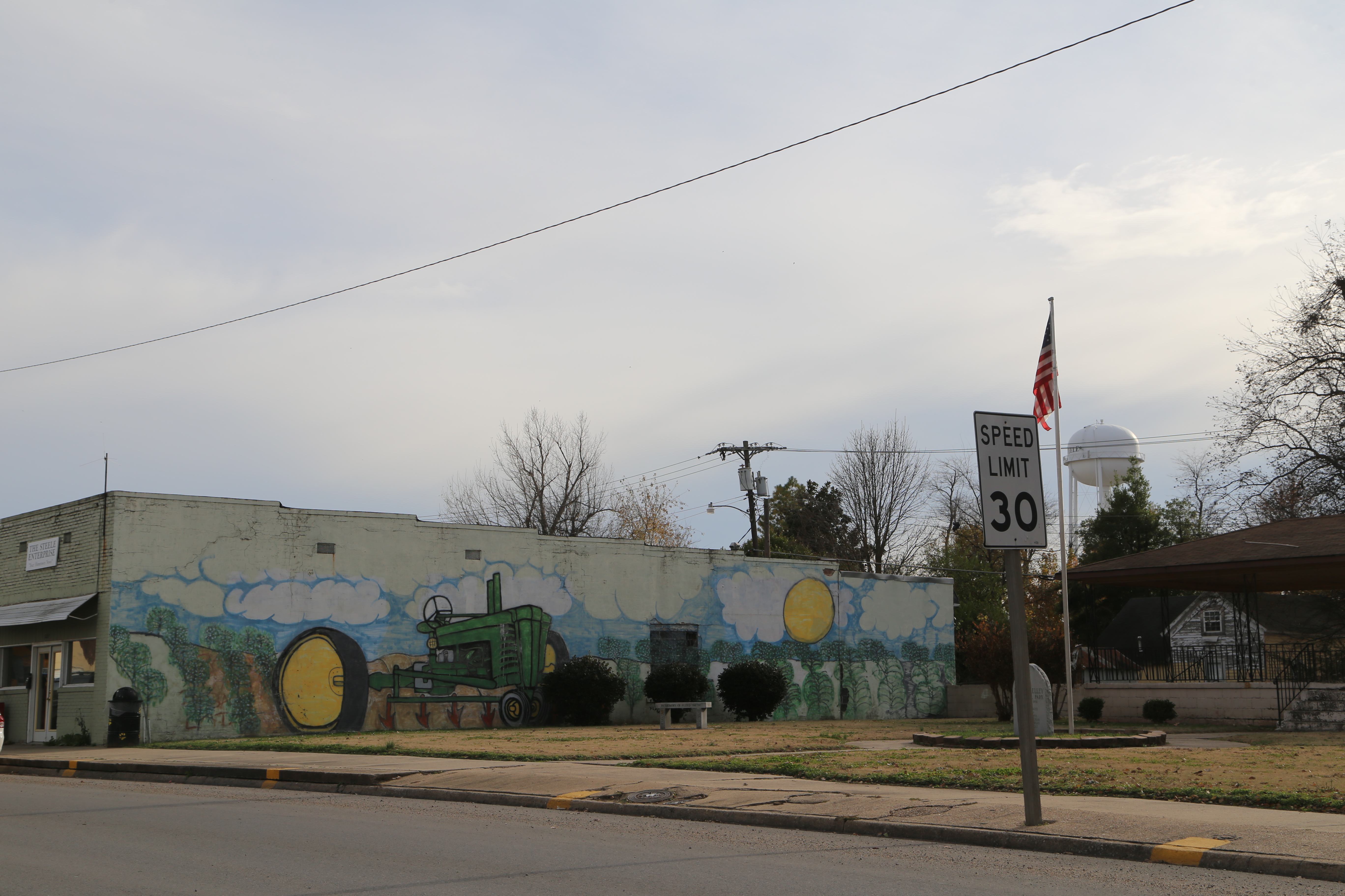
Steele Missouri, Pemiscot County MO
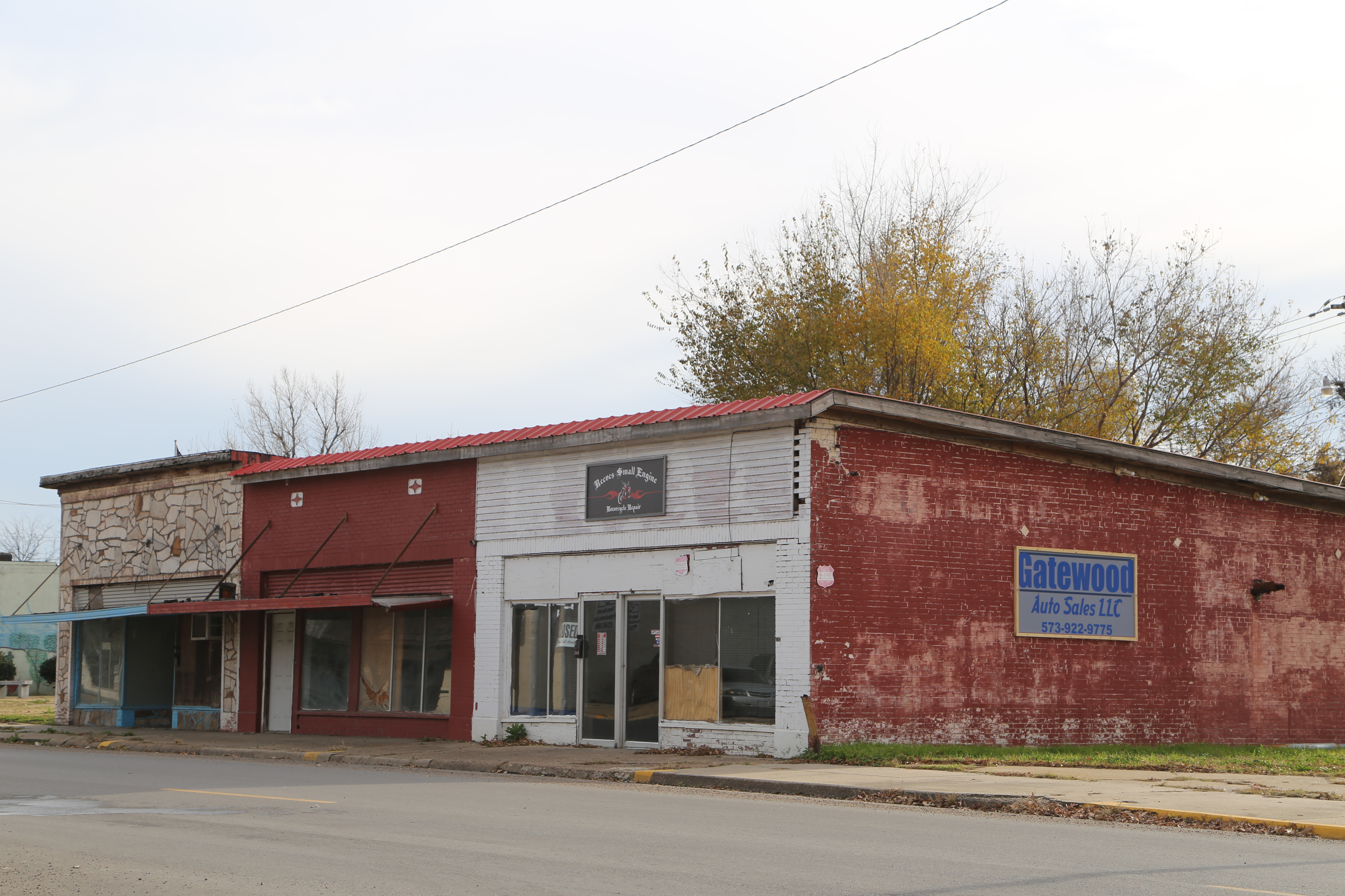
Steele Missouri, Pemiscot County MO
dsc03988-fixed
Angle to Key West
Topographic Map of Chic Rd, Finley, TN, USA
Find elevation by address:

Places near Chic Rd, Finley, TN, USA:
State Hwy Spur, Blytheville, AR, USA
7301 E County Rd 142
Canadian Township
AR-, Blytheville, AR, USA
AR-18, Blytheville, AR, USA
Barr Rd, Halls, TN, USA
5929 Ar-18
5929 Ar-18
Little Prairie Township
E Main St, Steele, MO, USA
AR-, Blytheville, AR, USA
Caruthersville
AR-, Blytheville, AR, USA
2625 Jeff Webb Rd
Finley
Chickasawba Township
Edith-Nankipoo Rd, Ripley, TN, USA
Lauderdale County
1891 State Hwy Z
4580 Upper Finley Rd
Recent Searches:
- Elevation of Corso Fratelli Cairoli, 35, Macerata MC, Italy
- Elevation of Tallevast Rd, Sarasota, FL, USA
- Elevation of 4th St E, Sonoma, CA, USA
- Elevation of Black Hollow Rd, Pennsdale, PA, USA
- Elevation of Oakland Ave, Williamsport, PA, USA
- Elevation of Pedrógão Grande, Portugal
- Elevation of Klee Dr, Martinsburg, WV, USA
- Elevation of Via Roma, Pieranica CR, Italy
- Elevation of Tavkvetili Mountain, Georgia
- Elevation of Hartfords Bluff Cir, Mt Pleasant, SC, USA