Elevation of Miston, TN, USA
Location: United States > Tennessee > Miston >
Longitude: -89.530890
Latitude: 36.1970612
Elevation: 82m / 269feet
Barometric Pressure: 100KPa
Elevation Map:
Satellite Map:
Related Photos:
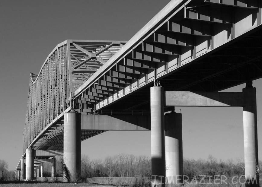
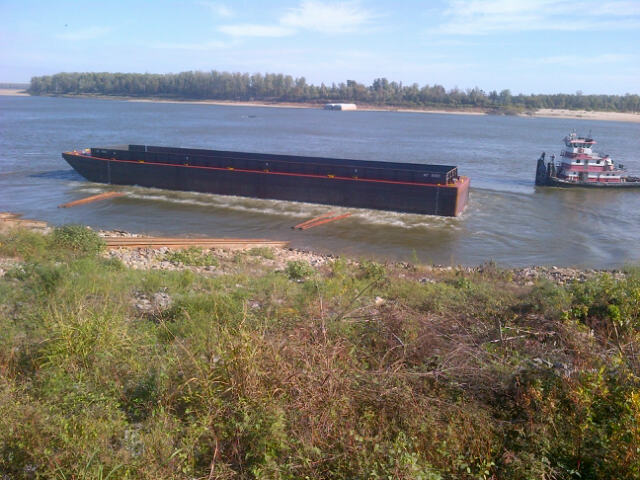
Caruthersville Bridge
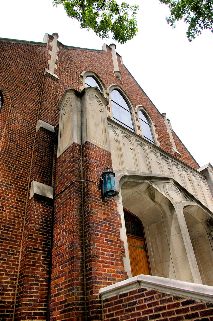
ANGLED VIEW OF UNITED METHODIST CHURCH
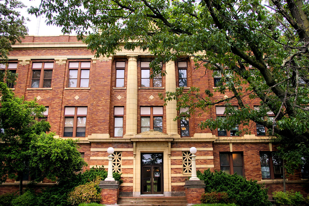
FRONT VIEW OF PEMISCOT COUNTY COURTHOUSE

Caruthersville 029
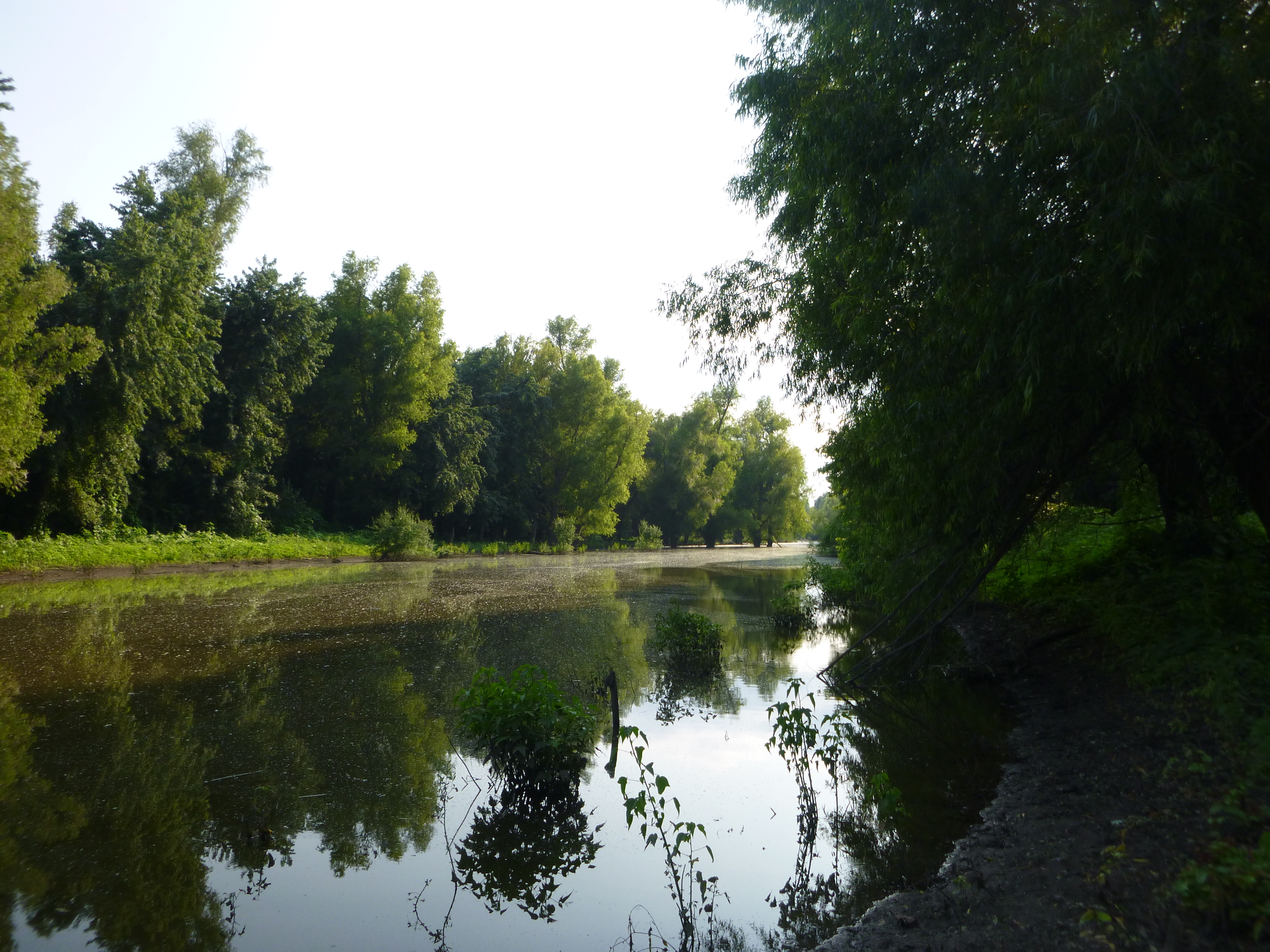
Just around the bend

Caruthersville Bridge
Black Island Conservation Area
Ag Achievement Awards
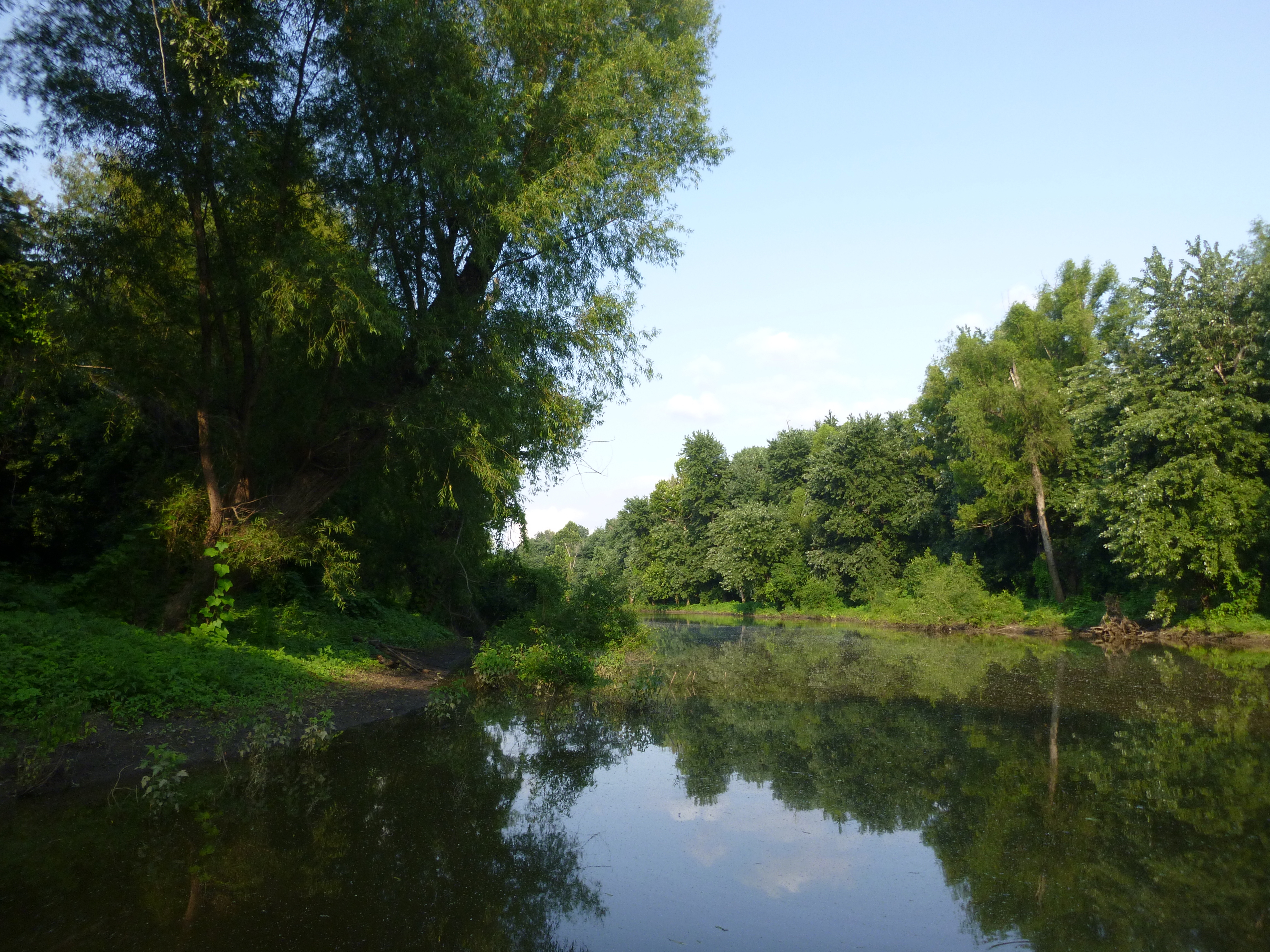
Black Island Conservation Area
Topographic Map of Miston, TN, USA
Find elevation by address:

Places near Miston, TN, USA:
Titan Rd, Ridgely, TN, USA
Miston
Ridgely
Cat Corner Rd, Obion, TN, USA
Mooring Rd, Tiptonville, TN, USA
Caruthersville
Lake County
TN-78, Dyersburg, TN, USA
4580 Upper Finley Rd
McCullough Chapel Rd, Dyersburg, TN, USA
Finley
25 Club House Ln, Tiptonville, TN, USA
Dyer County
Dyersburg, TN, USA
327 Wynn St
212 Cherry St
Tiptonville
TN-21, Tiptonville, TN, USA
Little Prairie Township
1460 Butler Rd
Recent Searches:
- Elevation of Tenjo, Cundinamarca, Colombia
- Elevation of Côte-des-Neiges, Montreal, QC H4A 3J6, Canada
- Elevation of Bobcat Dr, Helena, MT, USA
- Elevation of Zu den Ihlowbergen, Althüttendorf, Germany
- Elevation of Badaber, Peshawar, Khyber Pakhtunkhwa, Pakistan
- Elevation of SE Heron Loop, Lincoln City, OR, USA
- Elevation of Slanický ostrov, 01 Námestovo, Slovakia
- Elevation of Spaceport America, Co Rd A, Truth or Consequences, NM, USA
- Elevation of Warwick, RI, USA
- Elevation of Fern Rd, Whitmore, CA, USA