Elevation of State Hwy Z, Fairfax, MO, USA
Location: United States > Missouri > Atchison County > Clark Township > Fairfax >
Longitude: -95.521186
Latitude: 40.2932935
Elevation: 268m / 879feet
Barometric Pressure: 98KPa
Elevation Map:
Satellite Map:
Related Photos:

Own it.
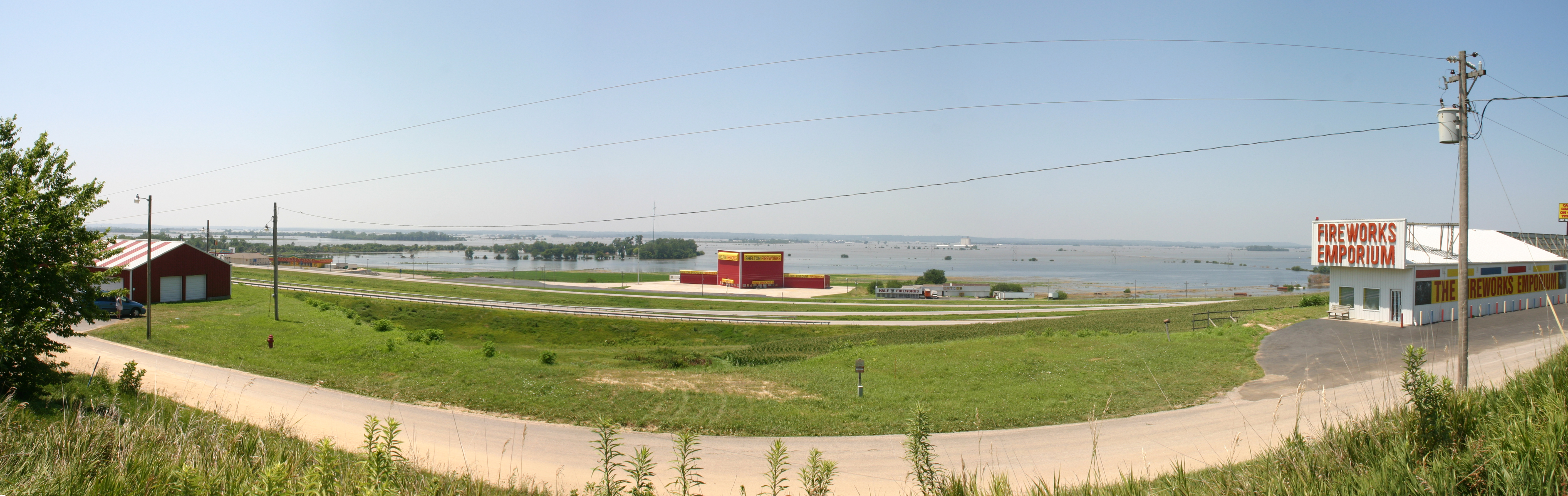
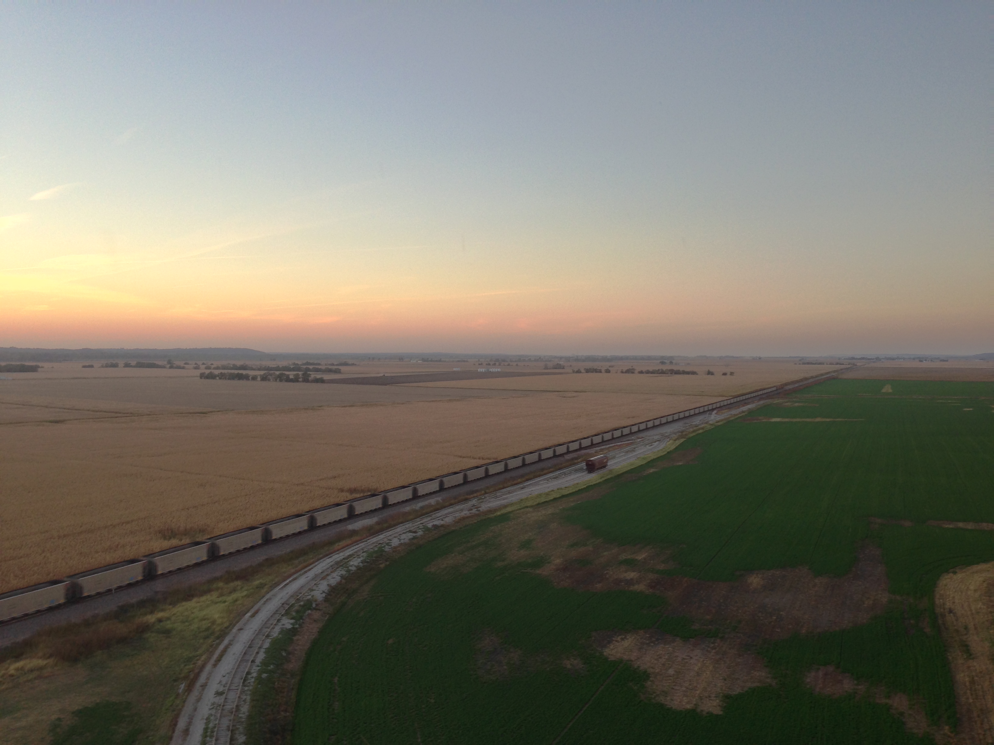
MO/NE flooding
I29 NB
IMG_3511.JPG
Death Valley
IMG_3514.JPG

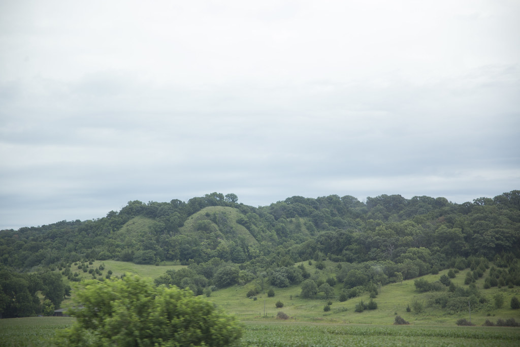
Indian Cave State Park, Nebraska

Indian Cave State Park, Nebraska
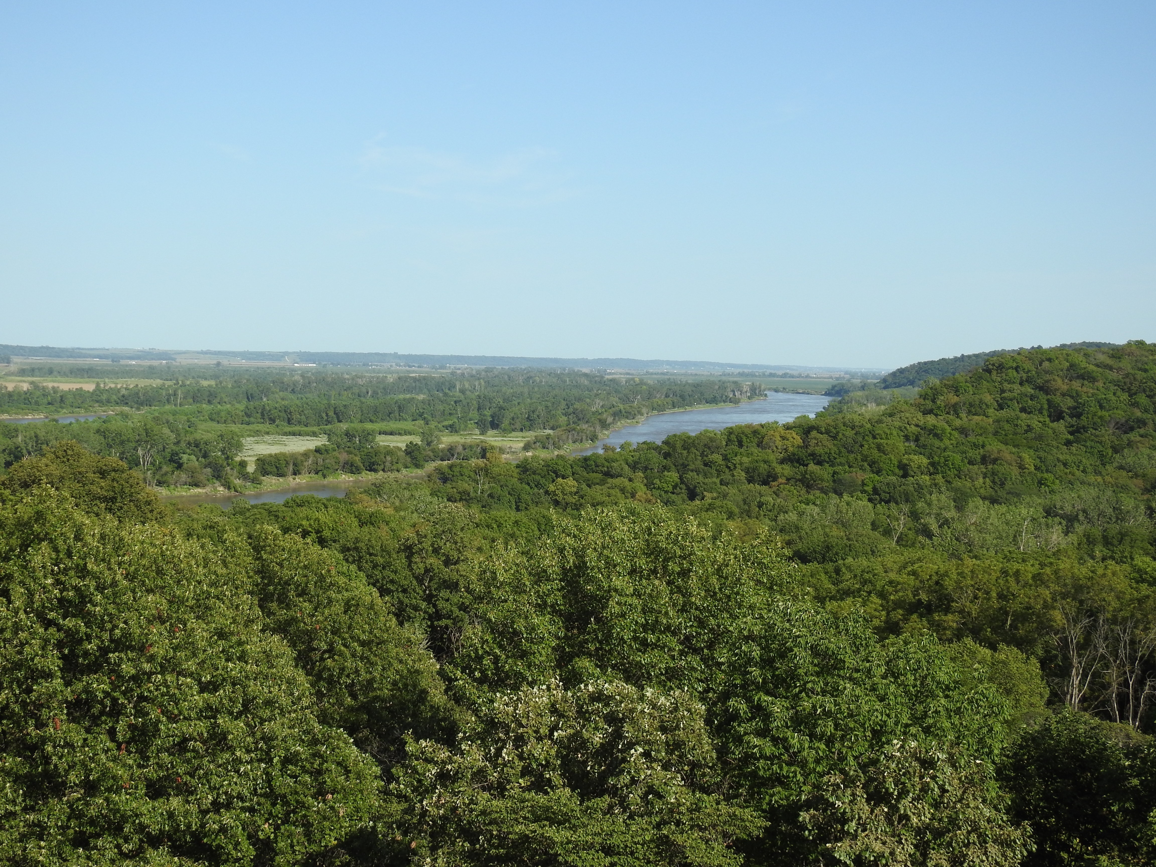
Indian Cave State Park

Indian Cave State Park, Nebraska
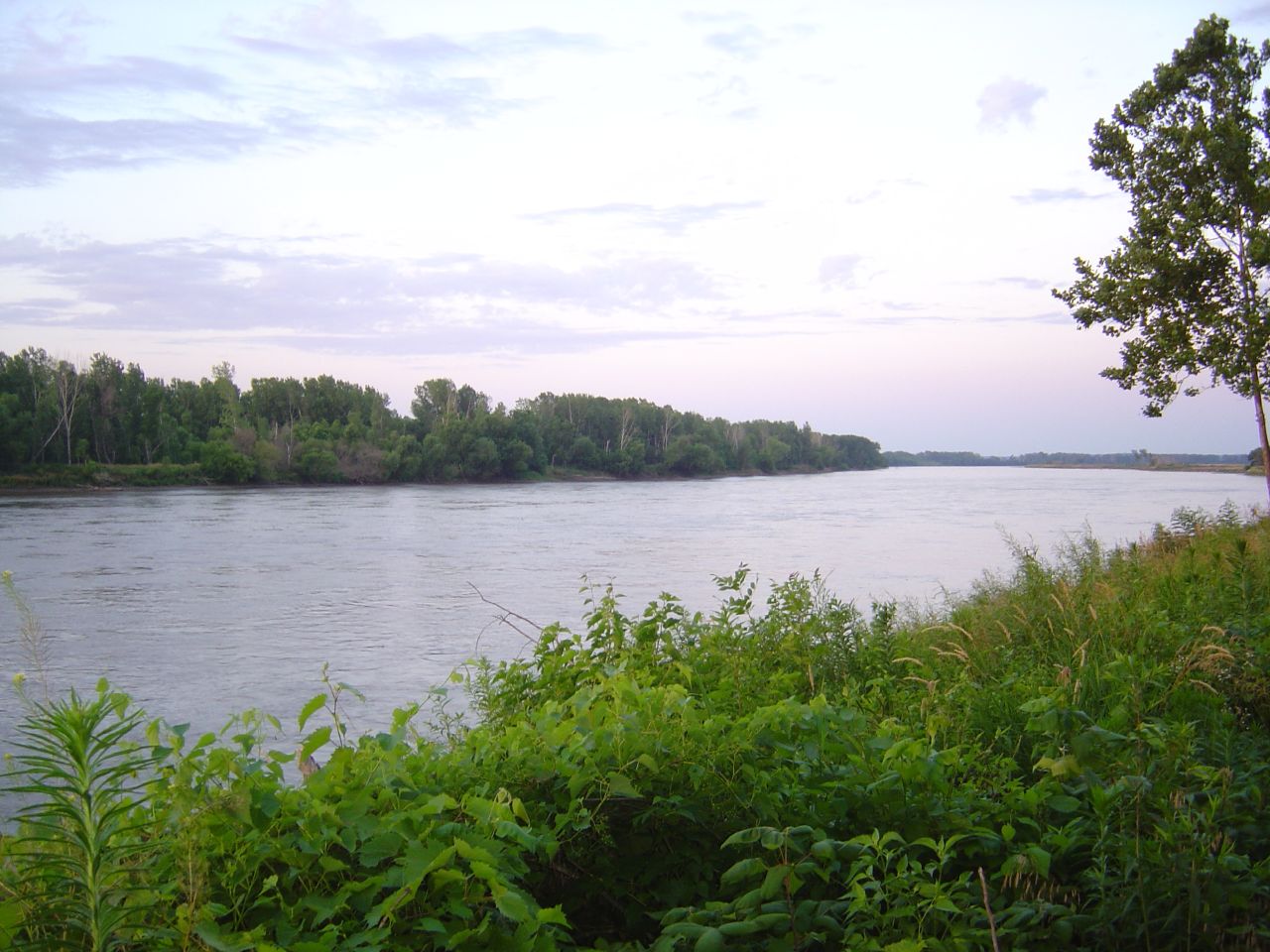
Missouri River from the Nebraska Shore
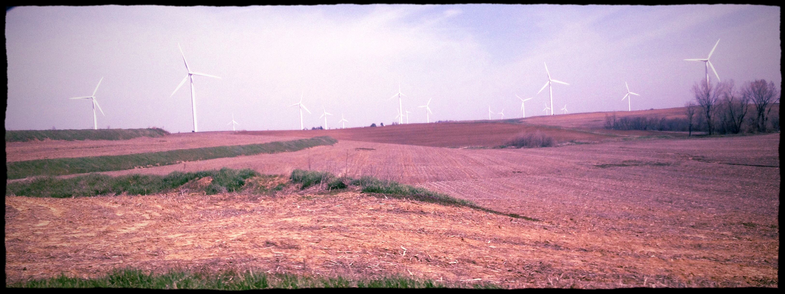
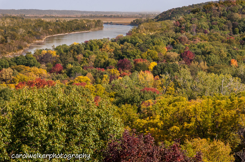
missouri hills_8352
Missouri River
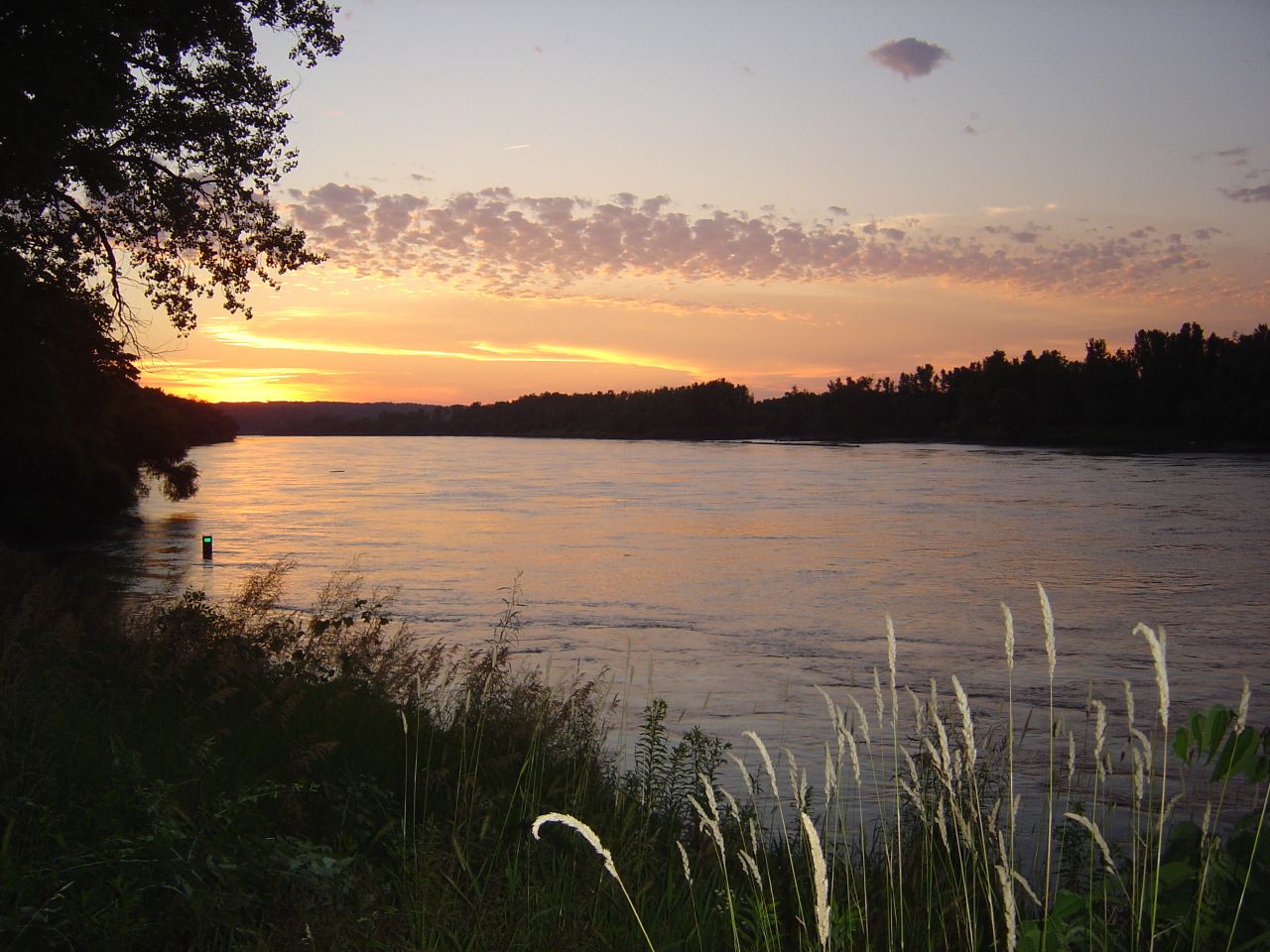
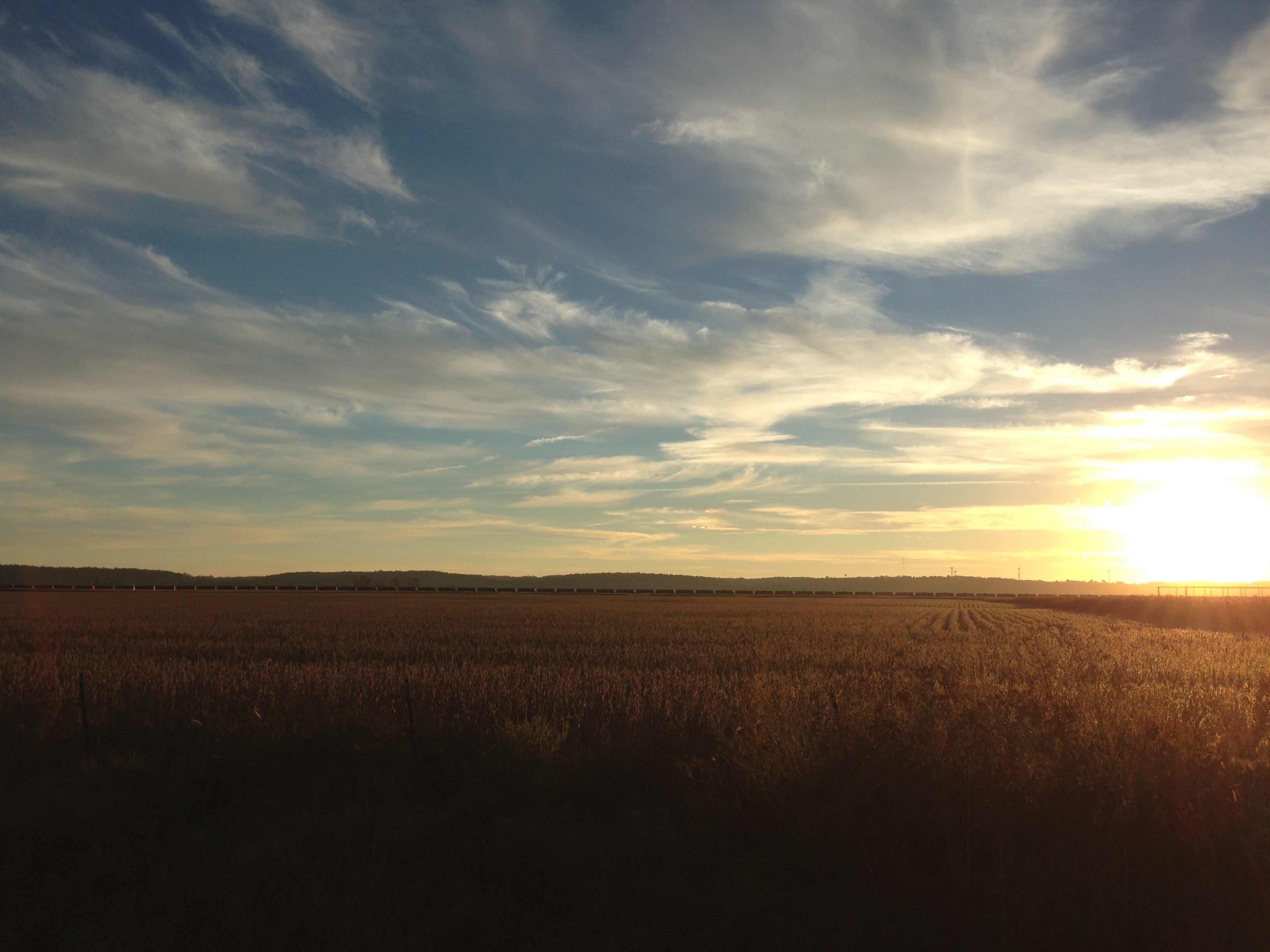
Missouri River at Sunset
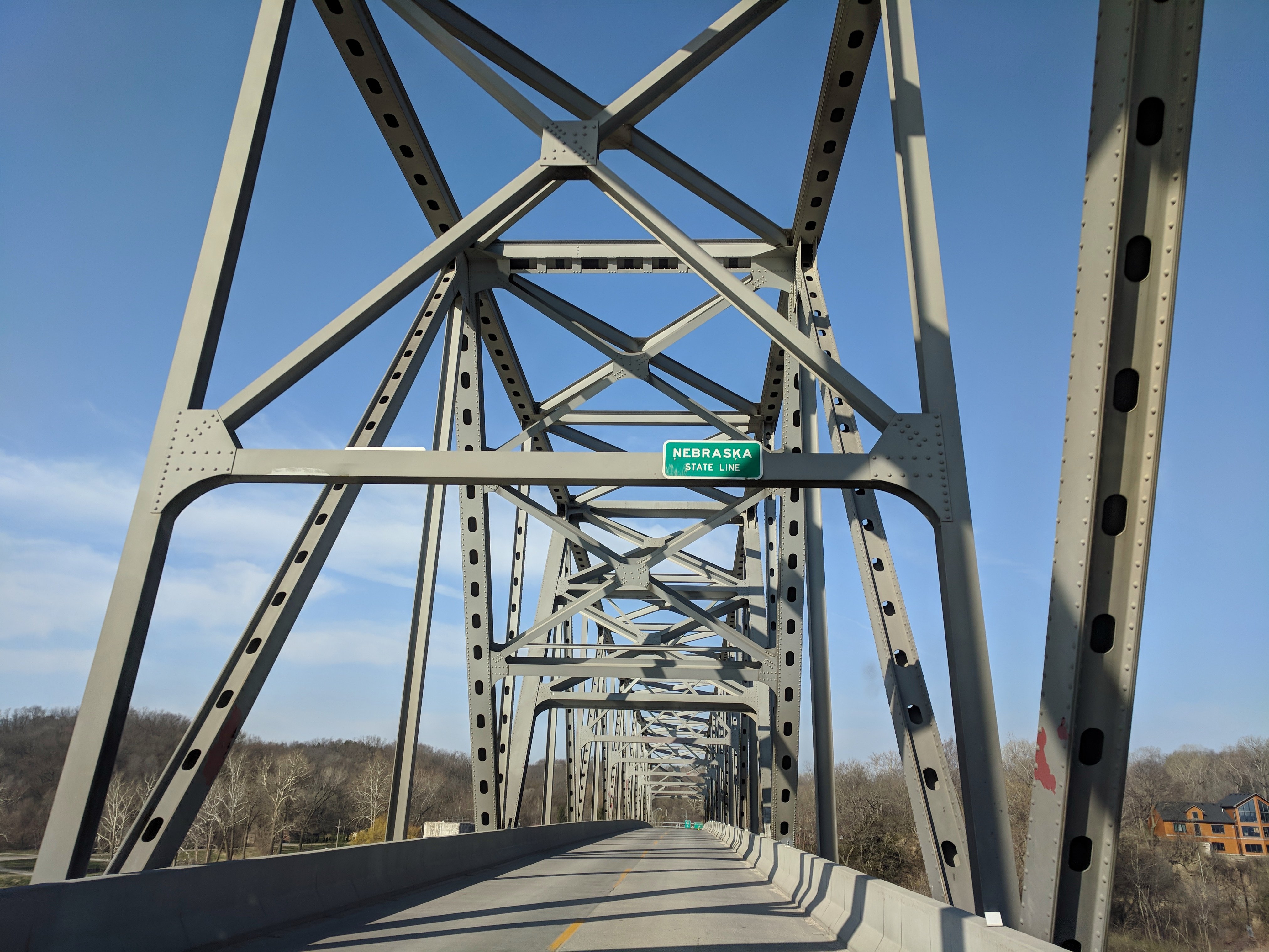
Entering Nebraska over a really cool bridge.
Topographic Map of State Hwy Z, Fairfax, MO, USA
Find elevation by address:

Places near State Hwy Z, Fairfax, MO, USA:
11591 State Hwy Z
9891 State Hwy Z
10000 State Hwy Z
18515 State Hwy Z
Indian Cave State Park
29595 State Hwy Z
Clark Township
Clay Township
Rock Port
Fairfax
S 1st St, Tarkio, MO, USA
Atchison County
Union Township
3rd St, Craig, MO, USA
Craig
Falls City
E 16th St, Falls City, NE, USA
1015 Harlan St
Rulo
Rulo
Recent Searches:
- Elevation of 7 Waterfall Way, Tomball, TX, USA
- Elevation of SW 57th Ave, Portland, OR, USA
- Elevation of Crocker Dr, Vacaville, CA, USA
- Elevation of Pu Ngaol Community Meeting Hall, HWHM+3X7, Krong Saen Monourom, Cambodia
- Elevation of Royal Ontario Museum, Queens Park, Toronto, ON M5S 2C6, Canada
- Elevation of Groblershoop, South Africa
- Elevation of Power Generation Enterprises | Industrial Diesel Generators, Oak Ave, Canyon Country, CA, USA
- Elevation of Chesaw Rd, Oroville, WA, USA
- Elevation of N, Mt Pleasant, UT, USA
- Elevation of 6 Rue Jules Ferry, Beausoleil, France