Elevation of Atchison County, MO, USA
Location: United States > Missouri >
Longitude: -95.477781
Latitude: 40.423896
Elevation: 324m / 1063feet
Barometric Pressure: 97KPa
Elevation Map:
Satellite Map:
Related Photos:

Own it.
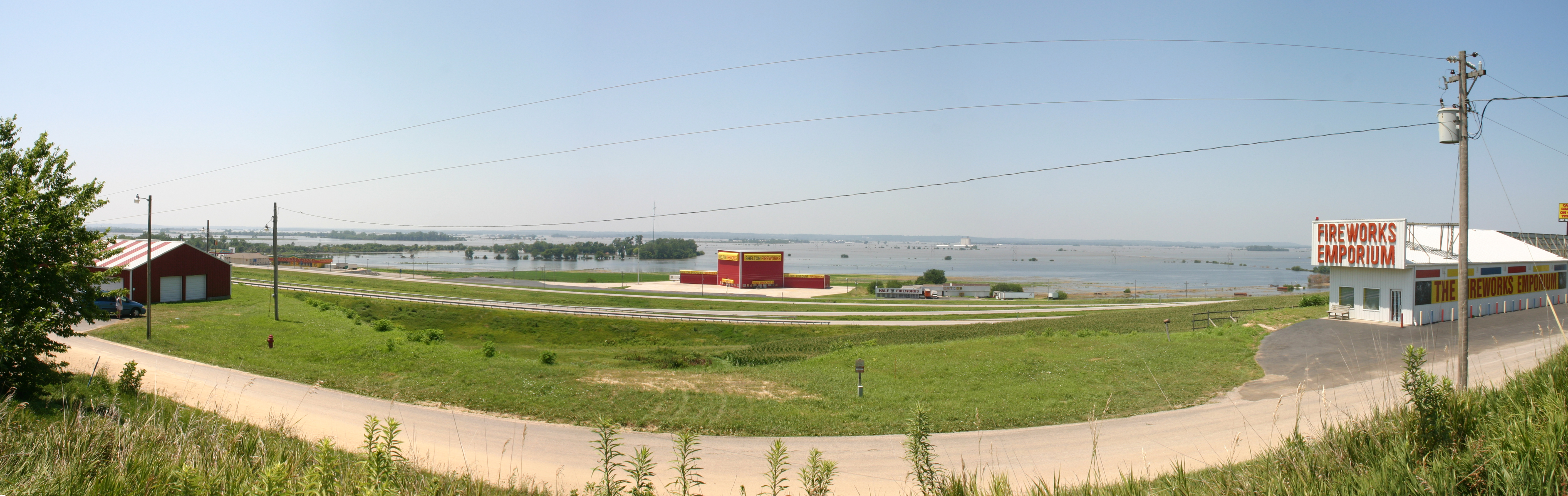
MO/NE flooding

#selfie #inmycar #sunroof #clouds #sky #view #cruising #omaha #amazing #wednesday #love my #car #photowall_bw #photowall_sky #photowall #primeshots #instagood #beautiful #bw #monochrome #jaimevermeer and yes I know I'm an #excessivehashtagger #tagcrazy #i
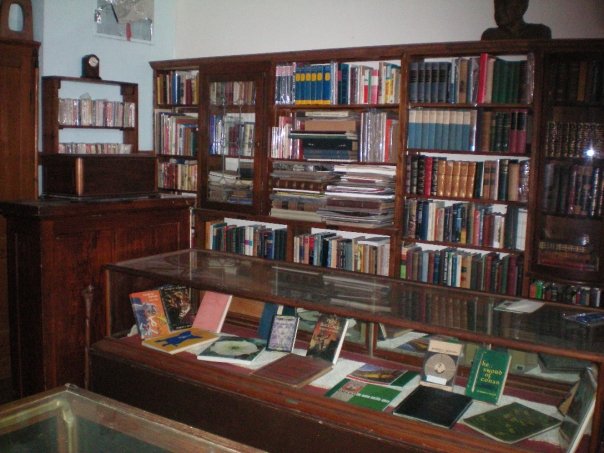
Rare Book Room
Death Valley
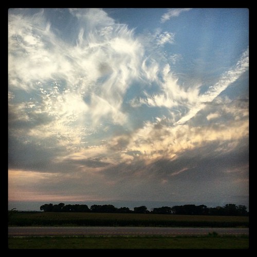
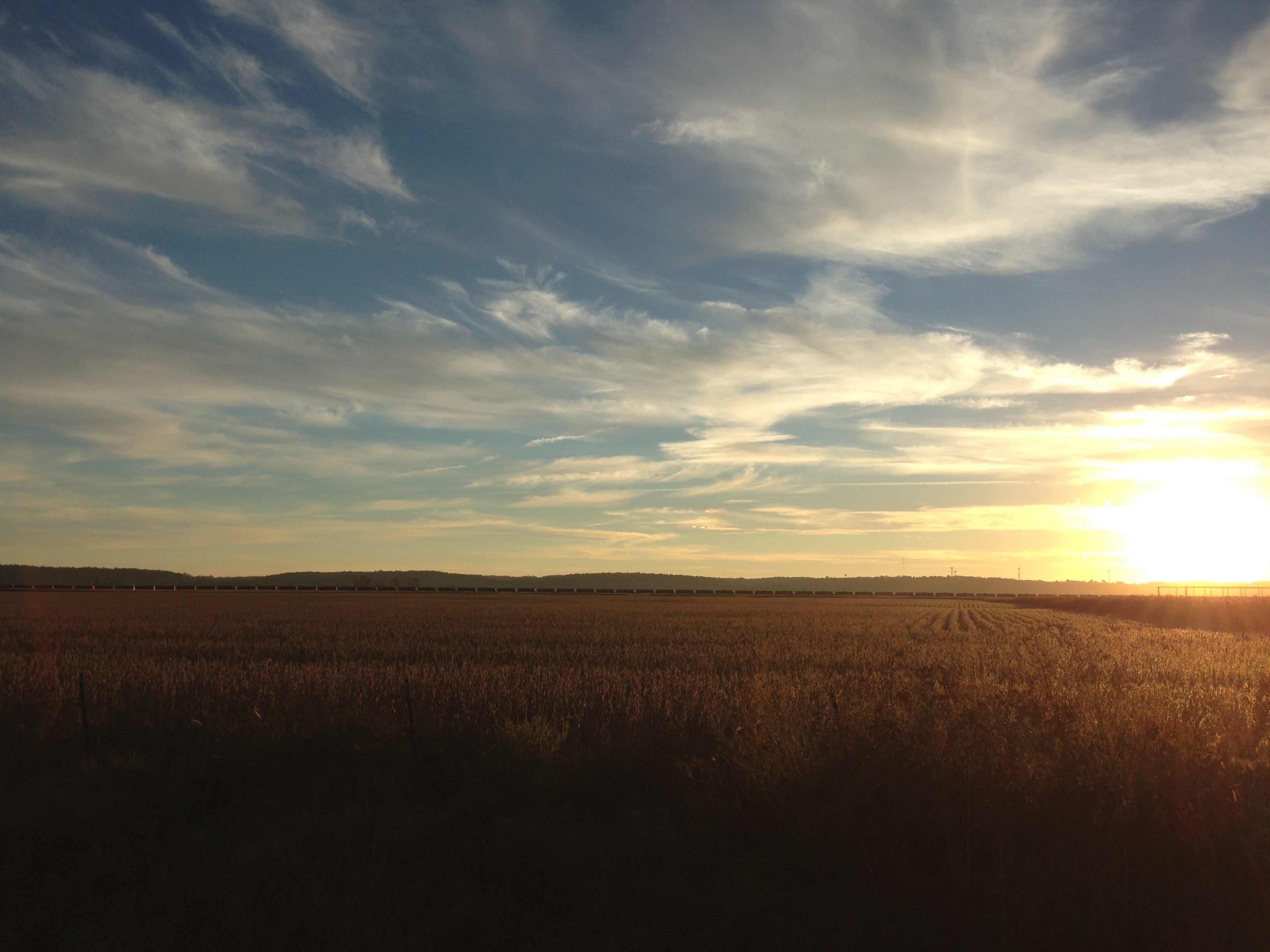
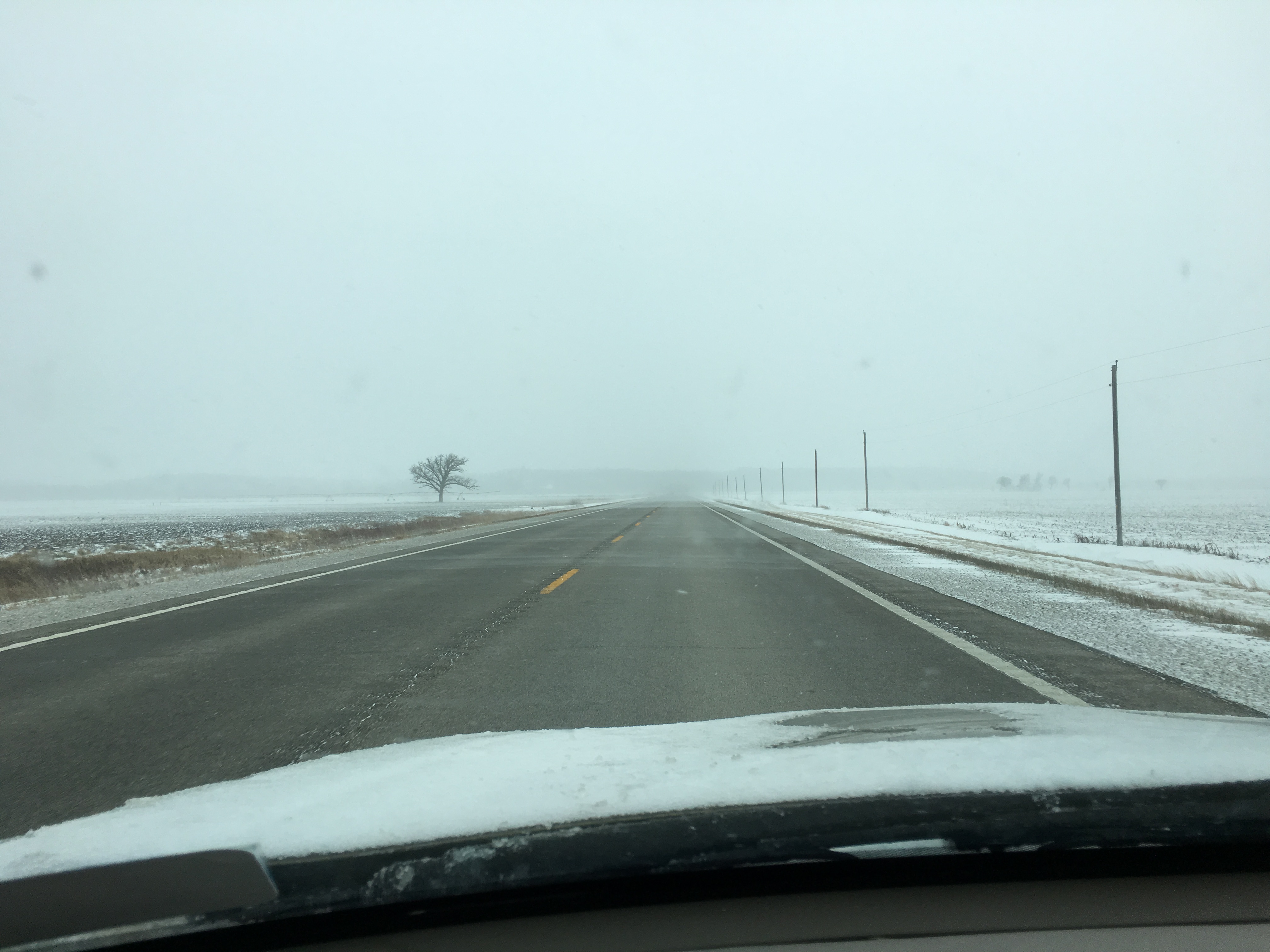
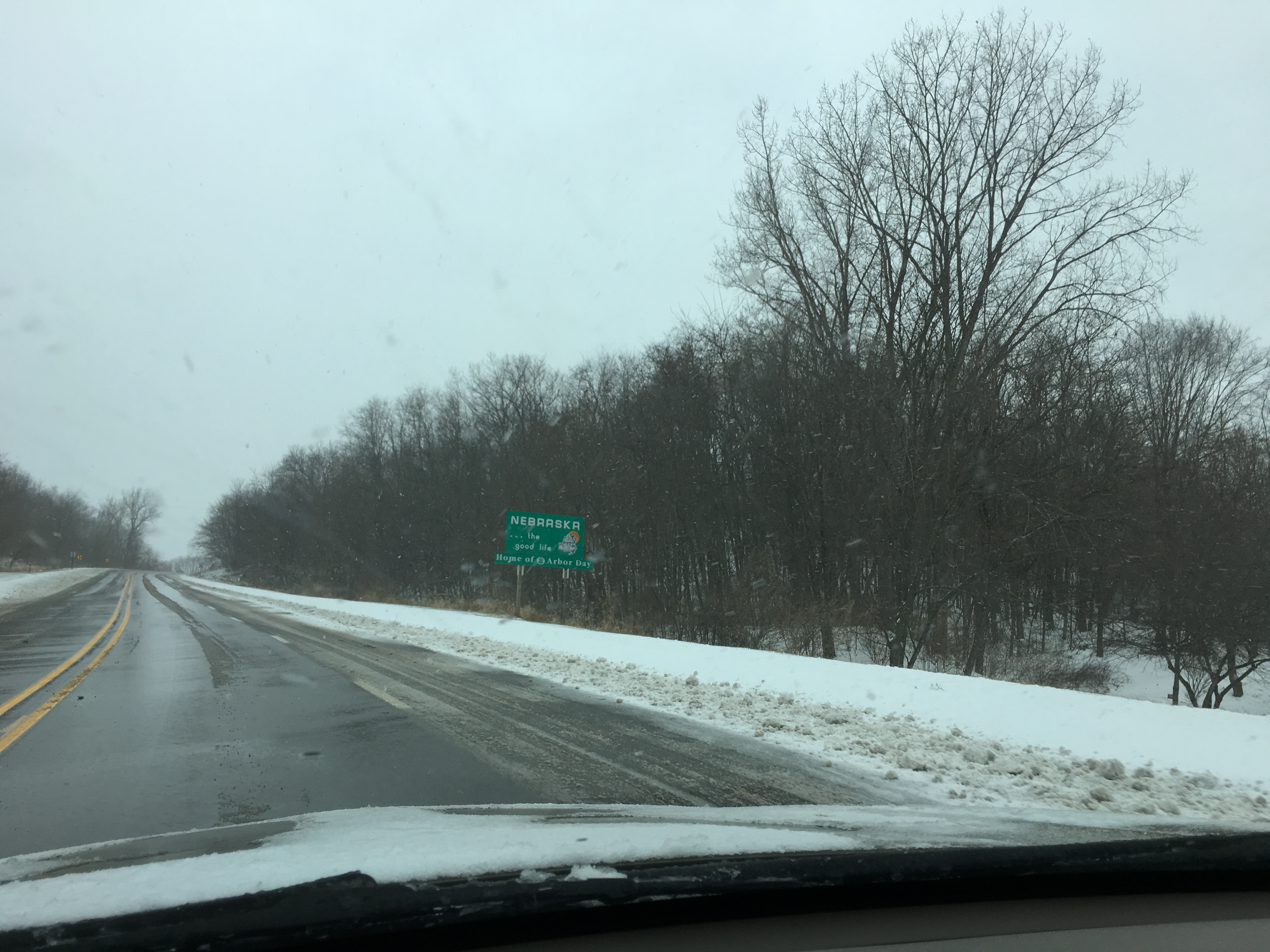
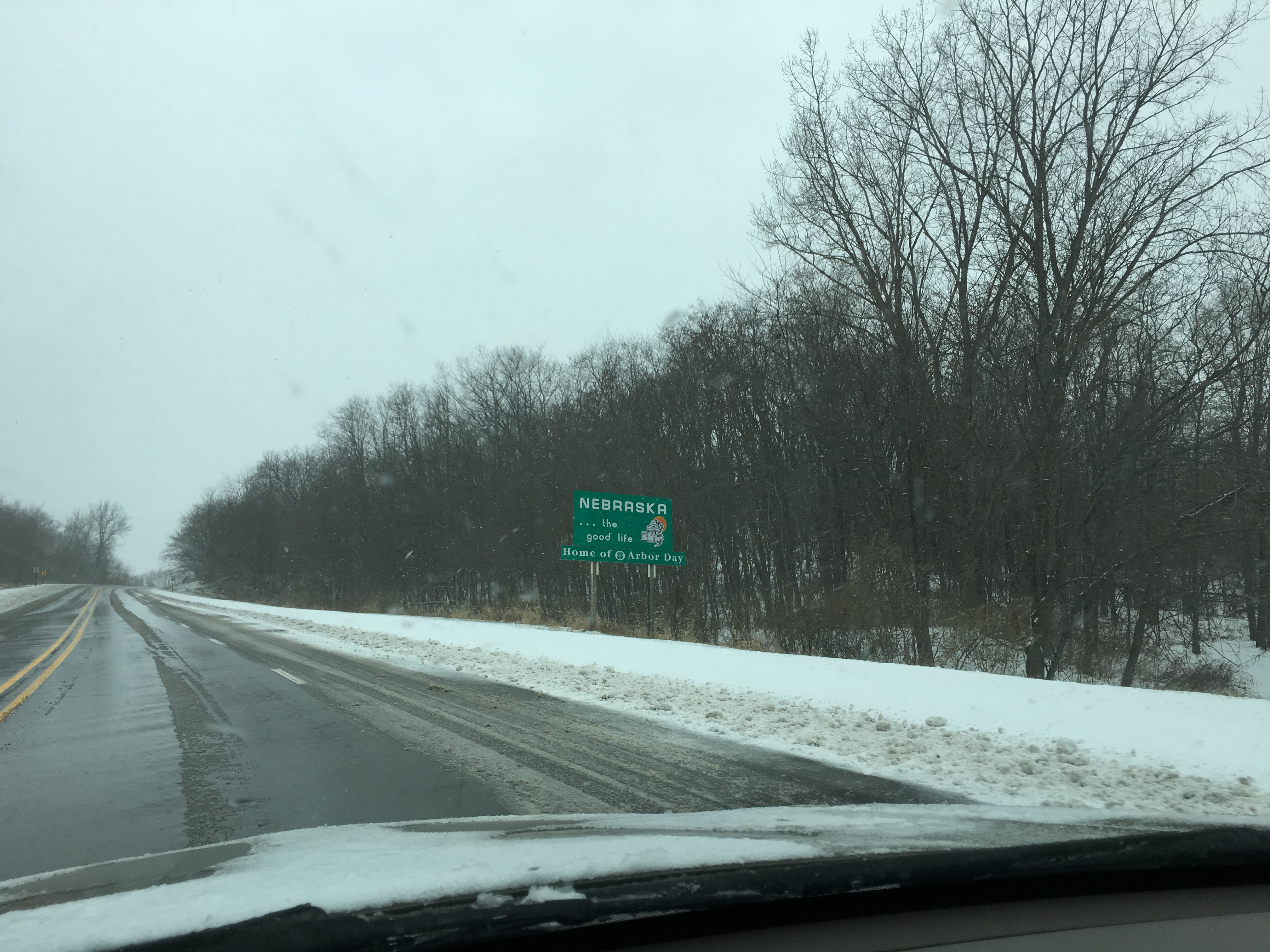
I29 NB

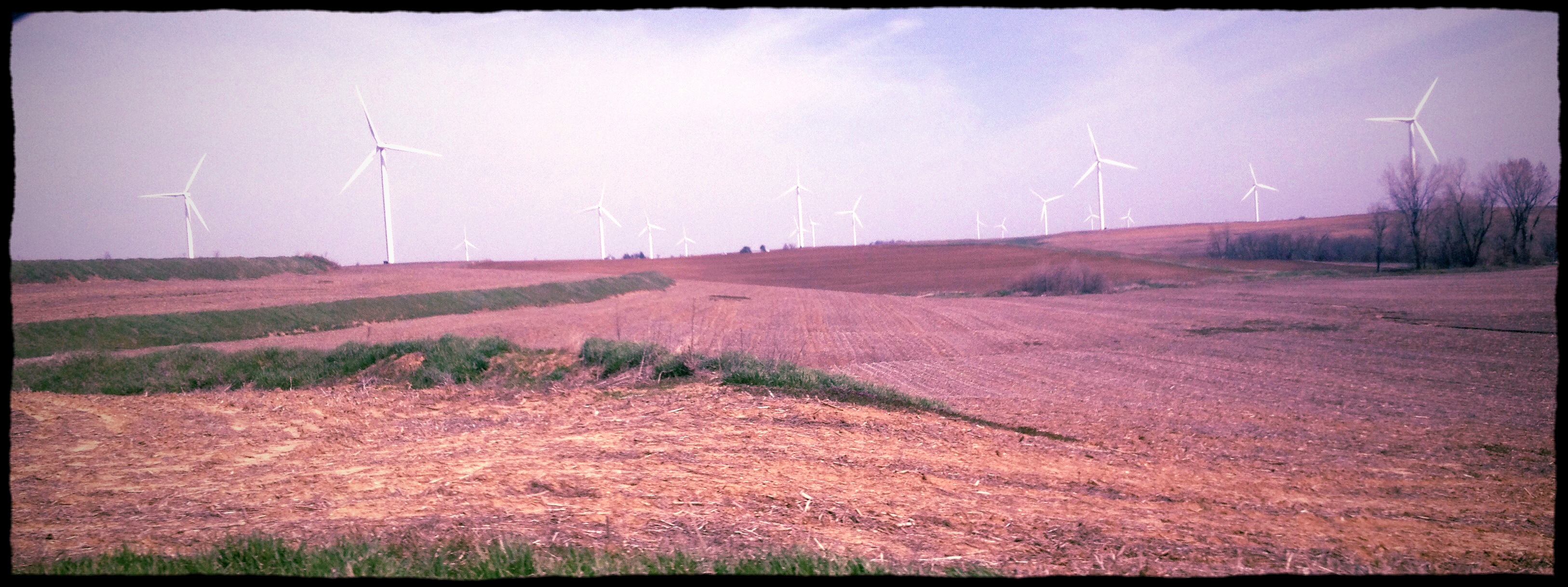
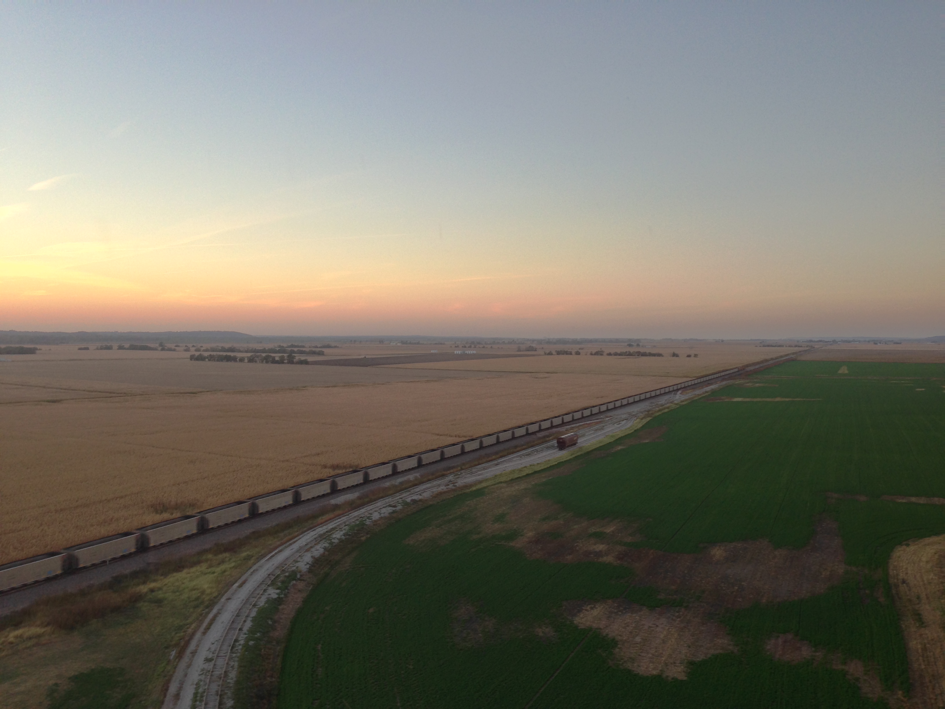
FOUR BINS IN A FIELD
IMG_3511.JPG
IMG_3514.JPG
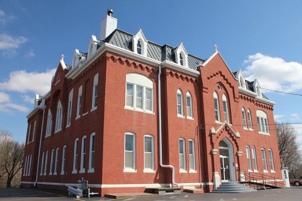
Atchison County Courthouse - Rock Port, MO
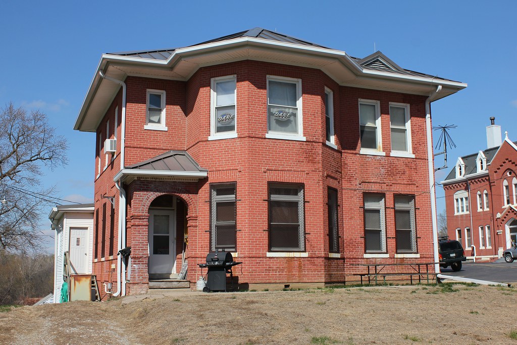
Atchison County Jail - Rock Port, MO
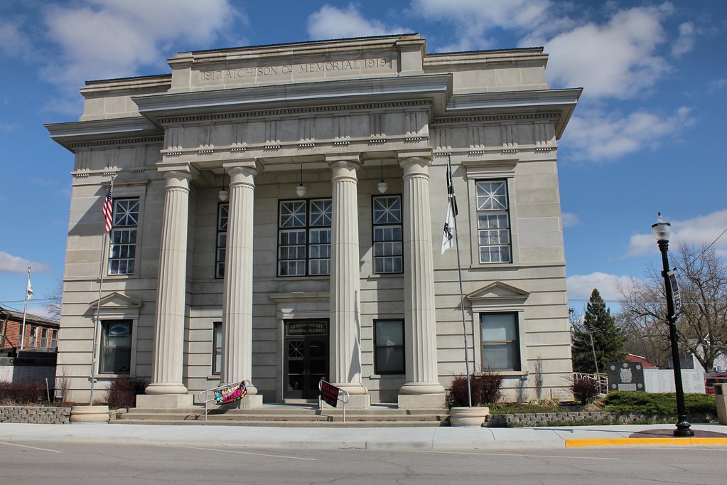
Atchison County Memorial Building - Rock Port, MO
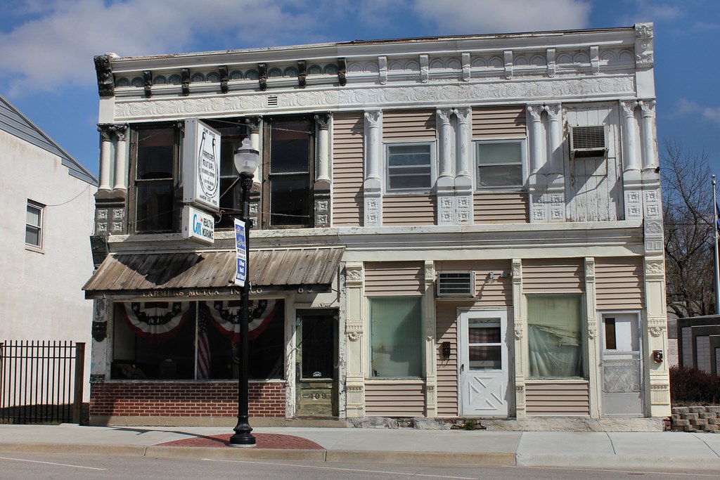
Farmers Mutual Insurance Co. Building - Rock Port, MO
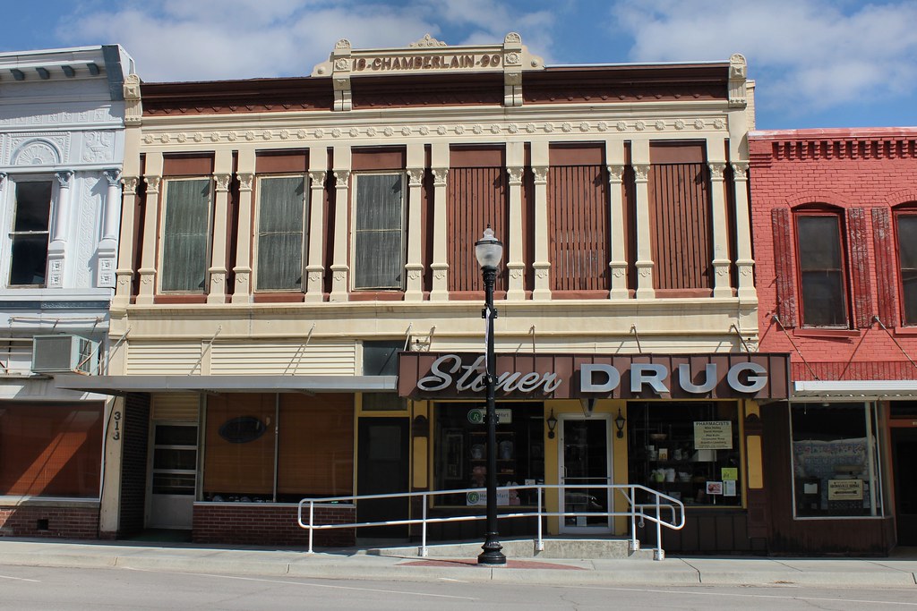
Chamberlain Building - Rock Port, MO
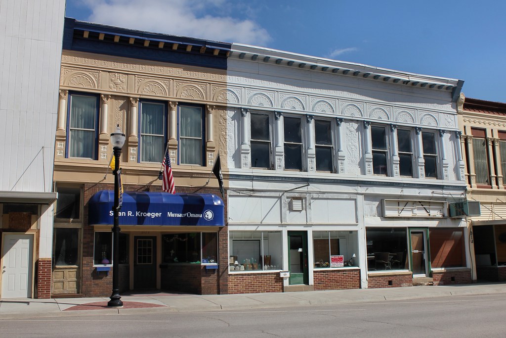
Downtown Buildings - Rock Port, MO
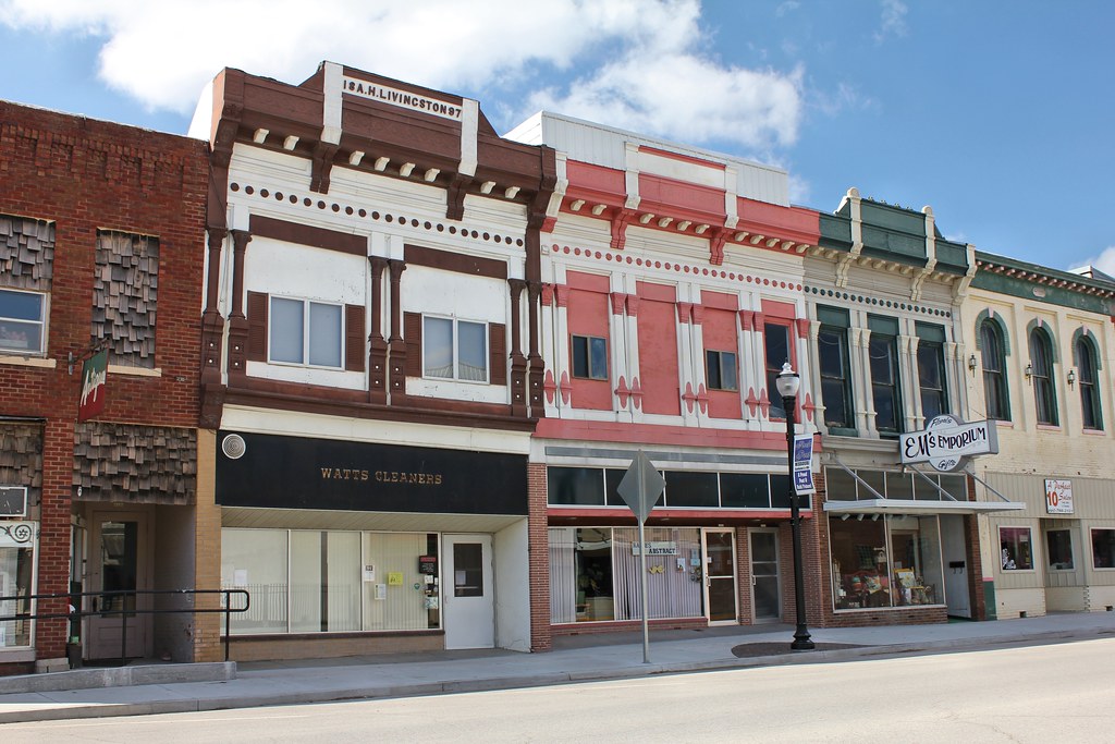
Downtown Buildings - Rock Port, MO
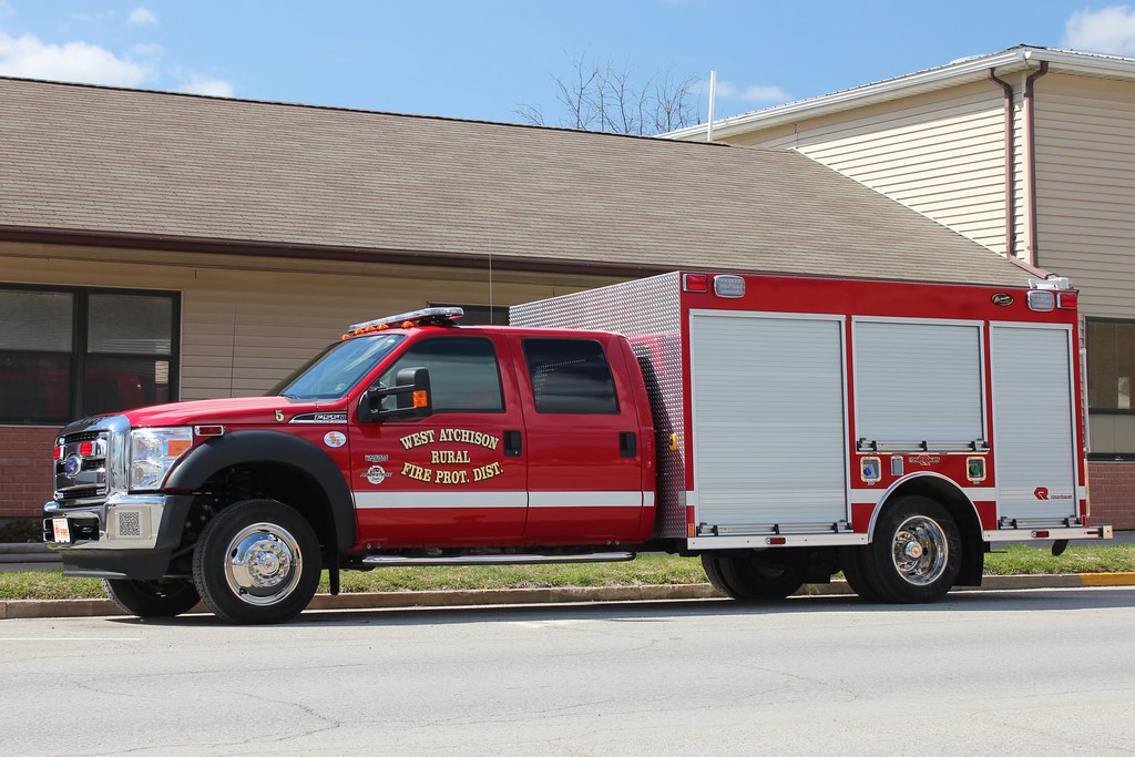
Unit 5, West Atchison Rural Fire Prot. Dist. - Rock Port, MO
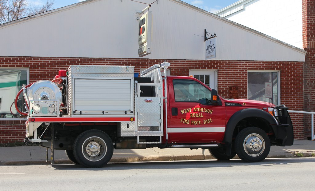
Unit 9, West Atchison Rural Fire Prot. Dist. - Rock Port, MO

#rock
Homestead National Monument of America
Homestead National Monument of America
Homestead National Monument of America
Topographic Map of Atchison County, MO, USA
Find elevation by address:

Places in Atchison County, MO, USA:
Places near Atchison County, MO, USA:
Clay Township
Rock Port
29595 State Hwy Z
Clark Township
Fairfax
S 1st St, Tarkio, MO, USA
18515 State Hwy Z
14591 State Hwy Z
11591 State Hwy Z
9891 State Hwy Z
10000 State Hwy Z
Indian Cave State Park
Union Township
Craig
3rd St, Craig, MO, USA
Riverton
Riverton
205 M St
1948 305 Ave
Rulo
Recent Searches:
- Elevation of Corso Fratelli Cairoli, 35, Macerata MC, Italy
- Elevation of Tallevast Rd, Sarasota, FL, USA
- Elevation of 4th St E, Sonoma, CA, USA
- Elevation of Black Hollow Rd, Pennsdale, PA, USA
- Elevation of Oakland Ave, Williamsport, PA, USA
- Elevation of Pedrógão Grande, Portugal
- Elevation of Klee Dr, Martinsburg, WV, USA
- Elevation of Via Roma, Pieranica CR, Italy
- Elevation of Tavkvetili Mountain, Georgia
- Elevation of Hartfords Bluff Cir, Mt Pleasant, SC, USA