Elevation of Clay Township, MO, USA
Location: United States > Missouri > Atchison County >
Longitude: -95.498756
Latitude: 40.4025767
Elevation: 295m / 968feet
Barometric Pressure: 98KPa
Elevation Map:
Satellite Map:
Related Photos:

Own it.

#selfie #inmycar #sunroof #clouds #sky #view #cruising #omaha #amazing #wednesday #love my #car #photowall_bw #photowall_sky #photowall #primeshots #instagood #beautiful #bw #monochrome #jaimevermeer and yes I know I'm an #excessivehashtagger #tagcrazy #i
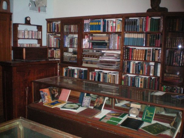
Rare Book Room
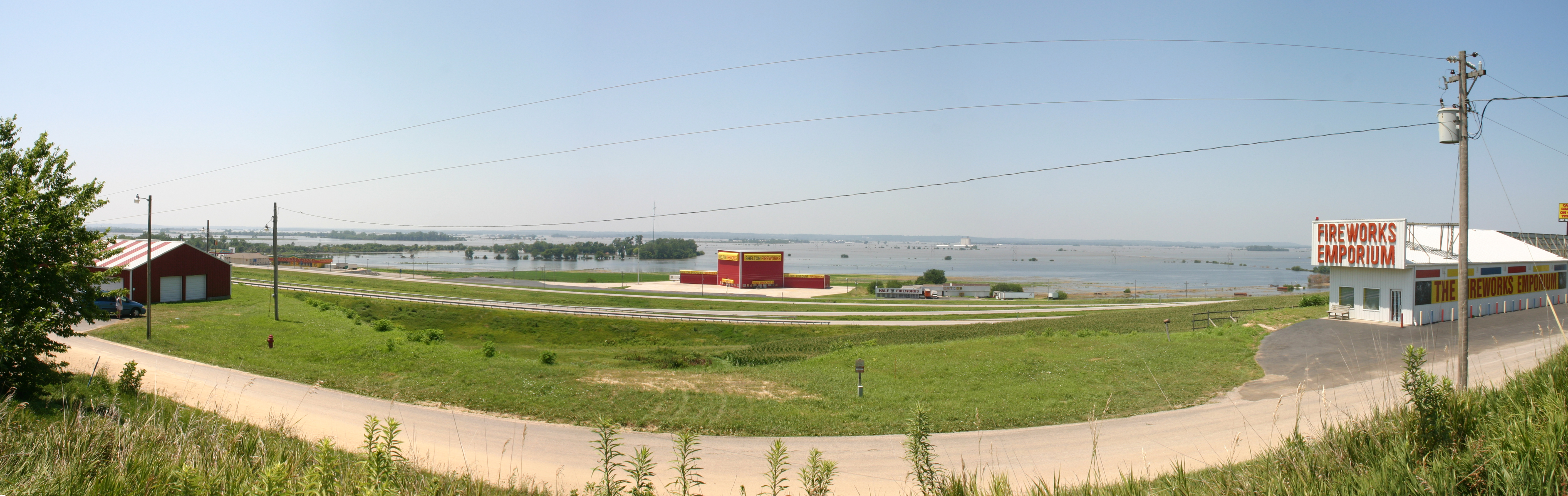
MO/NE flooding
High Creek Baptist Church - rural Watson, MO

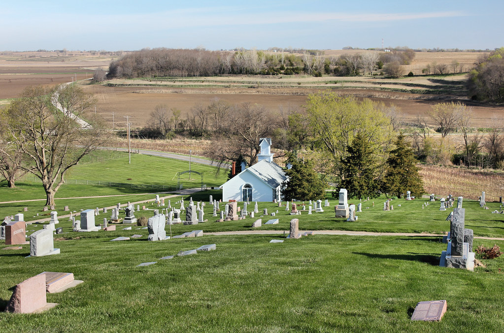
High Creek Cemetery - rural Watson, MO
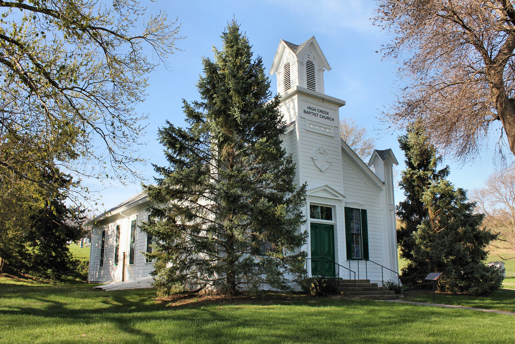
High Creek Baptist Church - rural Watson, MO
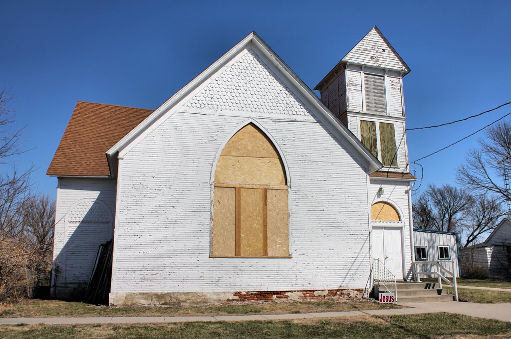
Watson Baptist Church - Watson, MO
IMG_3511.JPG
IMG_3514.JPG
Death Valley
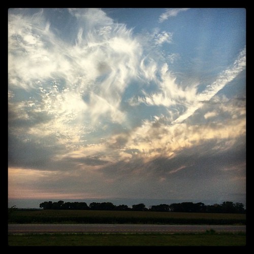
I29 NB

Fine Green
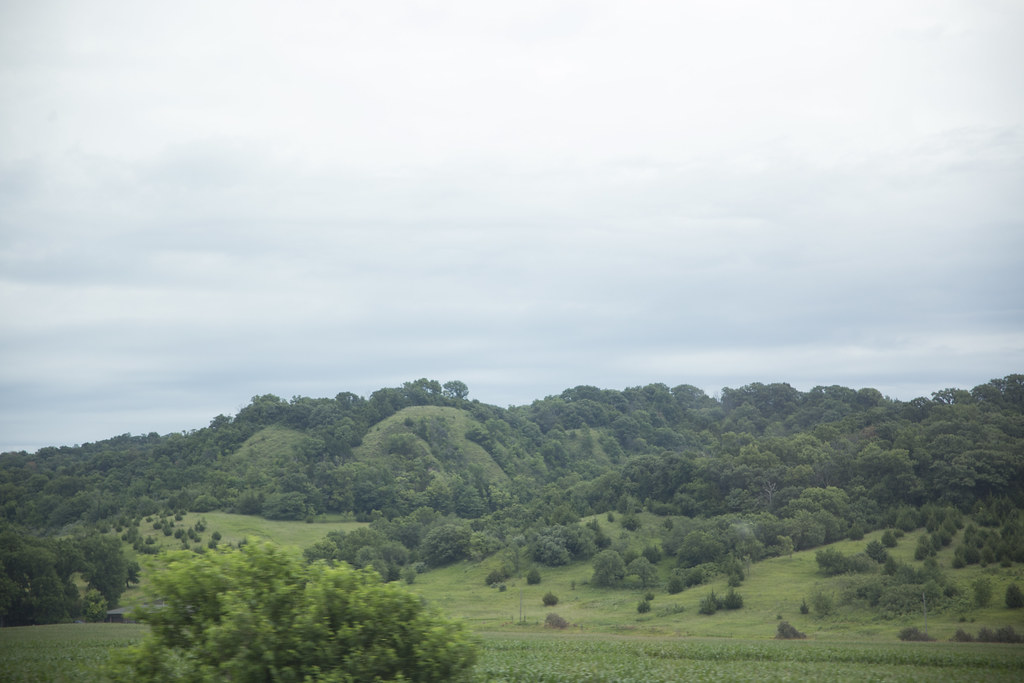
missouri hills_8352
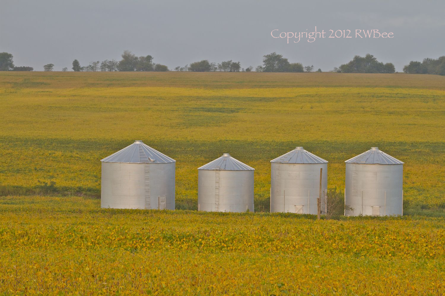
FOUR BINS IN A FIELD
Topographic Map of Clay Township, MO, USA
Find elevation by address:

Places in Clay Township, MO, USA:
Places near Clay Township, MO, USA:
Rock Port
Atchison County
29595 State Hwy Z
18515 State Hwy Z
14591 State Hwy Z
11591 State Hwy Z
9891 State Hwy Z
10000 State Hwy Z
Clark Township
Fairfax
S 1st St, Tarkio, MO, USA
Indian Cave State Park
Union Township
Craig
3rd St, Craig, MO, USA
Riverton
Riverton
205 M St
Rulo
Falls City
Recent Searches:
- Elevation of Groblershoop, South Africa
- Elevation of Power Generation Enterprises | Industrial Diesel Generators, Oak Ave, Canyon Country, CA, USA
- Elevation of Chesaw Rd, Oroville, WA, USA
- Elevation of N, Mt Pleasant, UT, USA
- Elevation of 6 Rue Jules Ferry, Beausoleil, France
- Elevation of Sattva Horizon, 4JC6+G9P, Vinayak Nagar, Kattigenahalli, Bengaluru, Karnataka, India
- Elevation of Great Brook Sports, Gold Star Hwy, Groton, CT, USA
- Elevation of 10 Mountain Laurels Dr, Nashua, NH, USA
- Elevation of 16 Gilboa Ln, Nashua, NH, USA
- Elevation of Laurel Rd, Townsend, TN, USA