Elevation of State Hwy, McCarr, KY, USA
Location: United States > Kentucky > Pike County > Mccarr >
Longitude: -82.186961
Latitude: 37.5684401
Elevation: 246m / 807feet
Barometric Pressure: 98KPa
Elevation Map:
Satellite Map:
Related Photos:

Flex Your BeeCepts
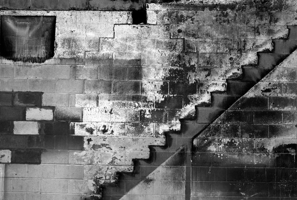
A Mime's Staircase

Hotel Hallway

West Virginia scenery
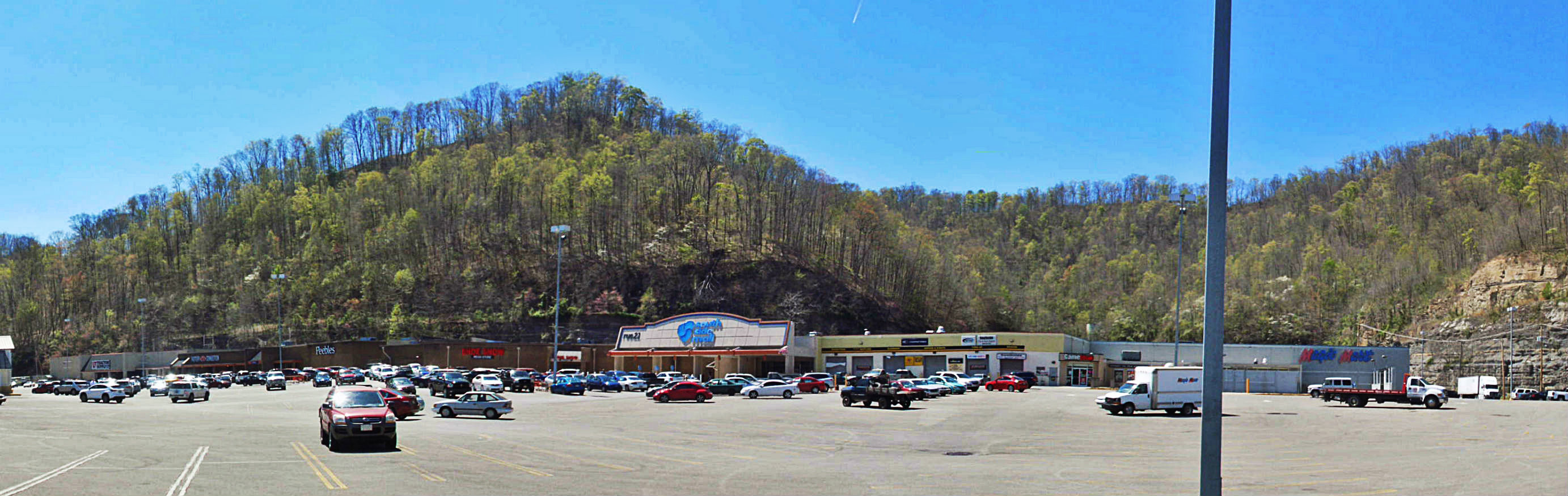
South Side Mall of South Williamson, KY
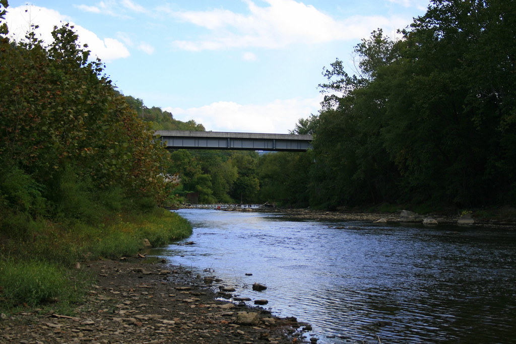
Tug River Thru Williamson, WV
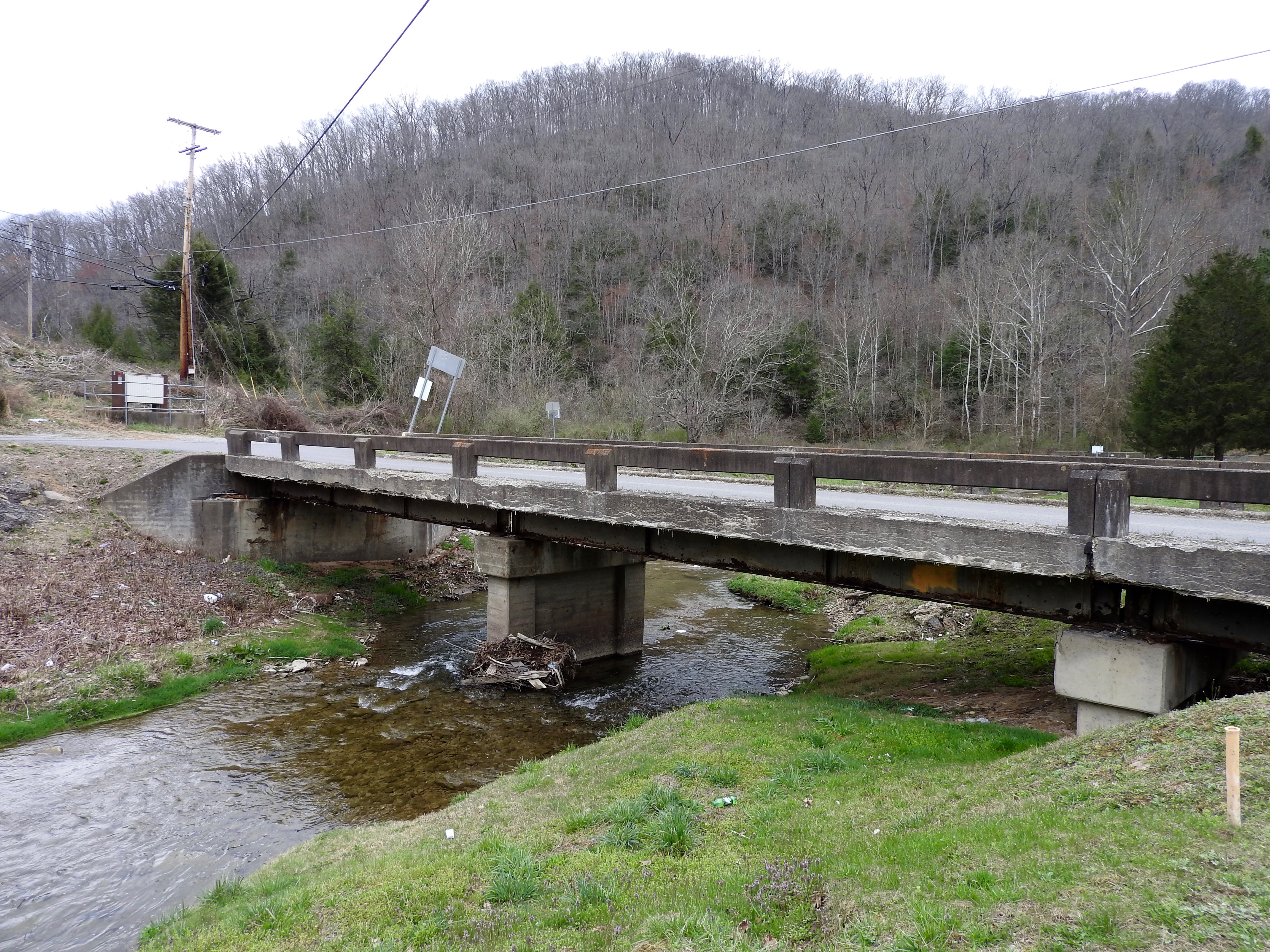
DSC_4725.JPG
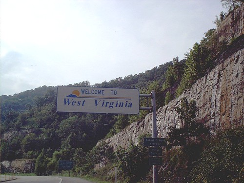
Welcome to West Virginia
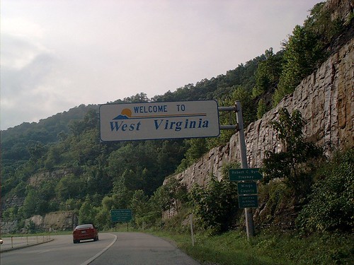
Welcome to West Virginia
Williamson WV Thursday October 27th 1988 1620EDT
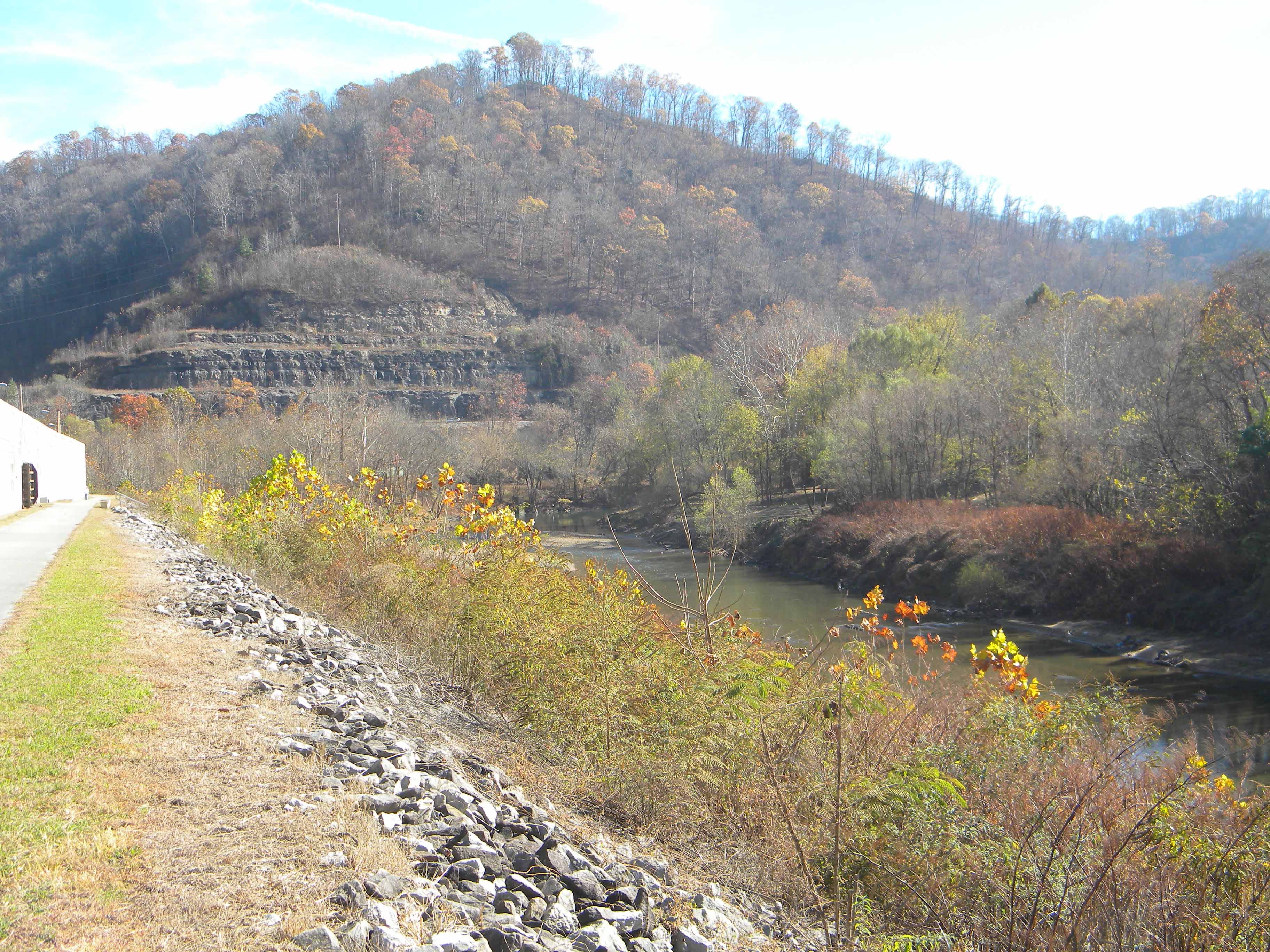
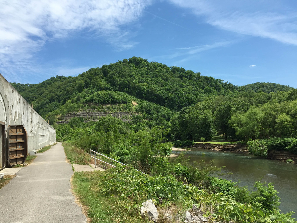
Matewan WV: The Tug River Outside the Flood Wall
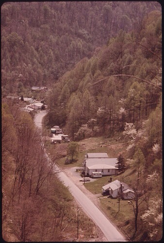
West Virginia scenery

20081020-153043.jpg

20081020-153028.jpg

20081020-152818.jpg
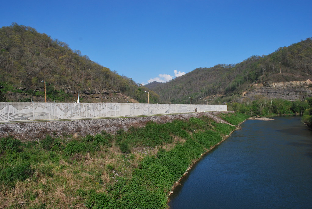
Matewan Floodwall
Killing of Asa Harmon McCoy
Pawpaw Tree Execution
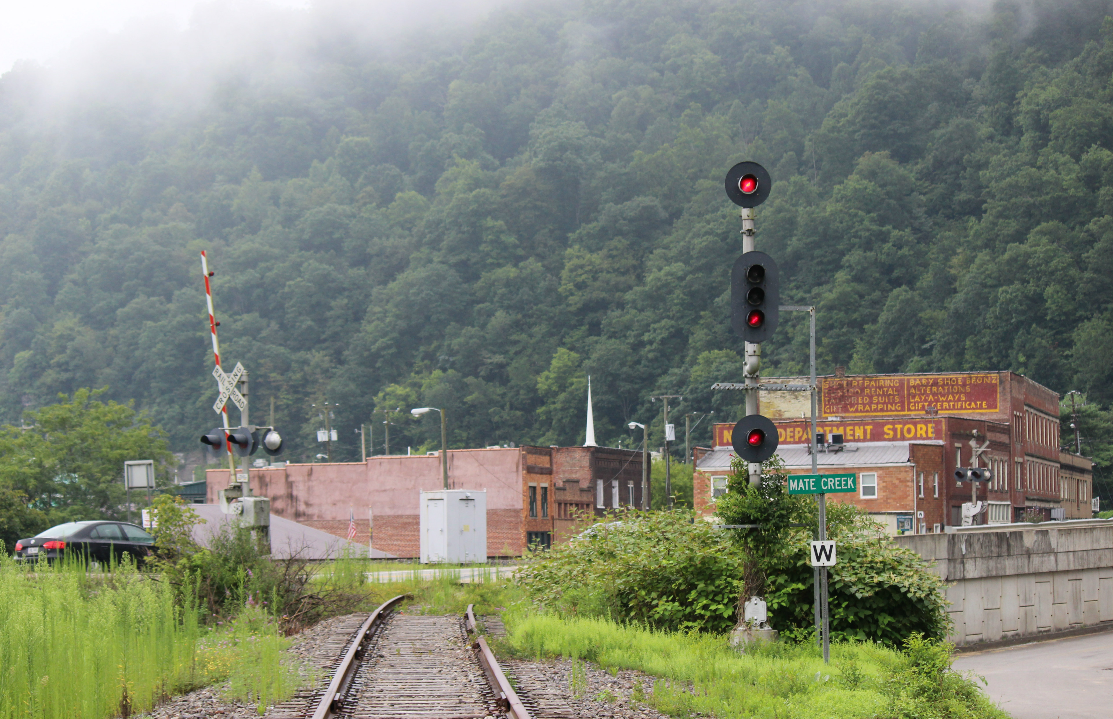
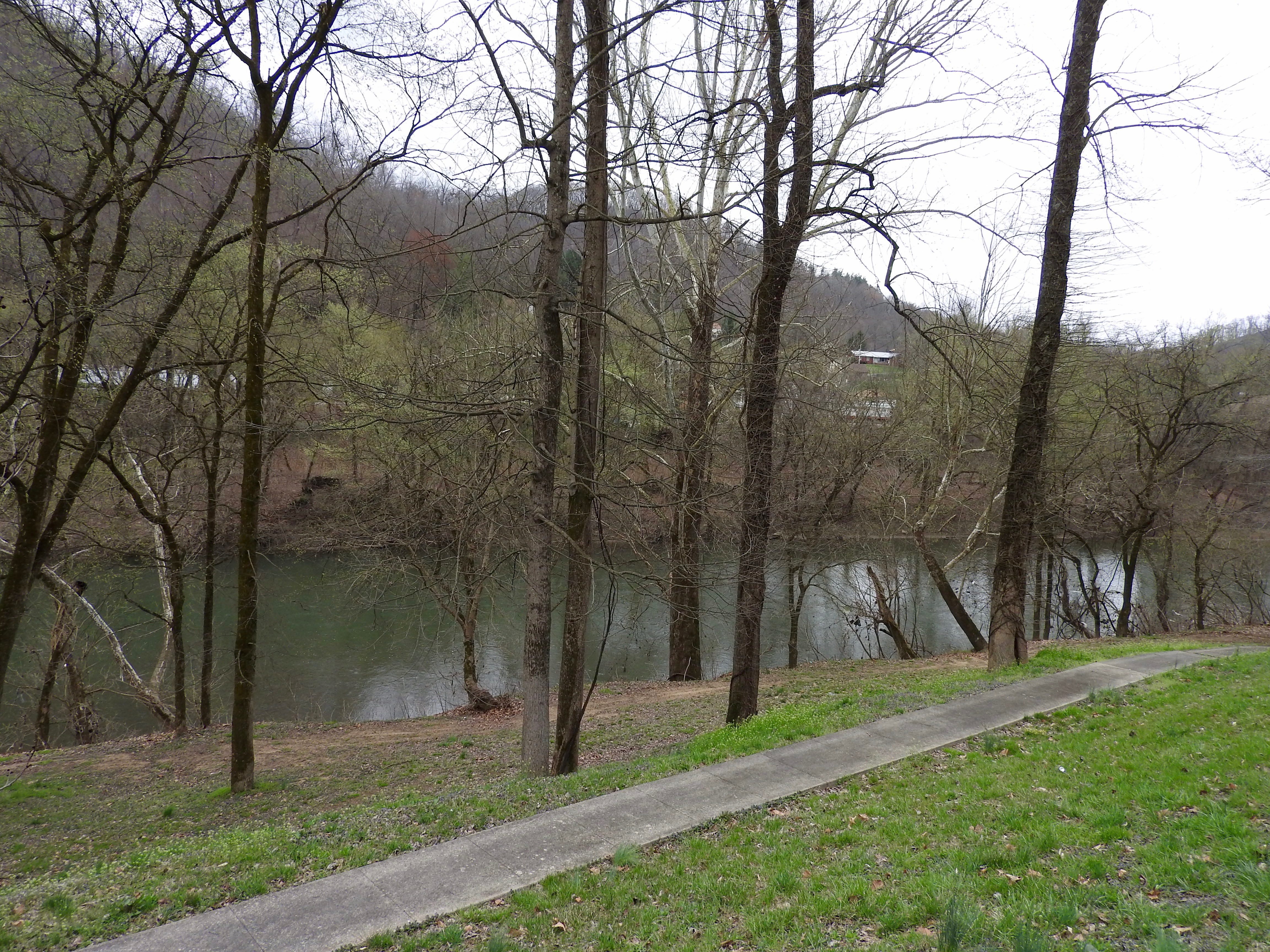
The abandon Mate Creek Branch in Matewan, WV
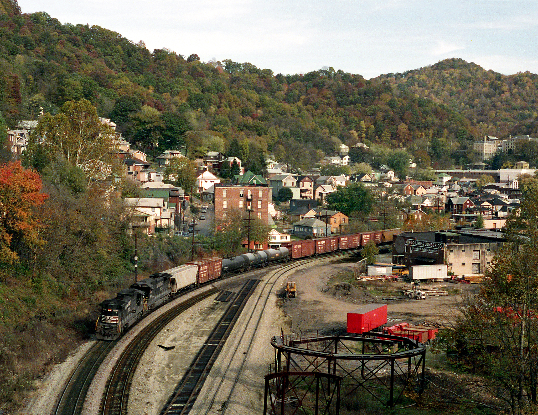
Matewan, WV
Topographic Map of State Hwy, McCarr, KY, USA
Find elevation by address:

Places near State Hwy, McCarr, KY, USA:
Ransom
5768 State Hwy 1056
Mccarr
WV-49, Matewan, WV, USA
Buskirk
Matewan
46 Bunny Ln, Magnolia, WV, USA
Phelps
Magnolia
WV-49, Delbarton, WV, USA
Williamson
1173 State Hwy 199
Stone
Red Jacket
Belfry
Devil's Backbone Adventure Resort, Llc
US-, Belfry, KY, USA
1000 King Coal Highway
2665 Meathouse Fork
Buffalo Mountain Trailhead, Hatfield-mccoy Trails
Recent Searches:
- Elevation of Côte-des-Neiges, Montreal, QC H4A 3J6, Canada
- Elevation of Bobcat Dr, Helena, MT, USA
- Elevation of Zu den Ihlowbergen, Althüttendorf, Germany
- Elevation of Badaber, Peshawar, Khyber Pakhtunkhwa, Pakistan
- Elevation of SE Heron Loop, Lincoln City, OR, USA
- Elevation of Slanický ostrov, 01 Námestovo, Slovakia
- Elevation of Spaceport America, Co Rd A, Truth or Consequences, NM, USA
- Elevation of Warwick, RI, USA
- Elevation of Fern Rd, Whitmore, CA, USA
- Elevation of 62 Abbey St, Marshfield, MA, USA