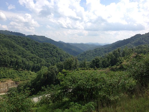
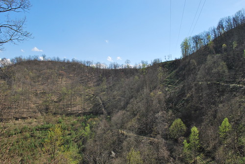
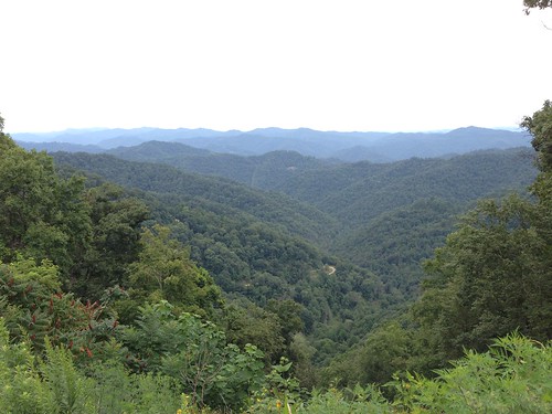
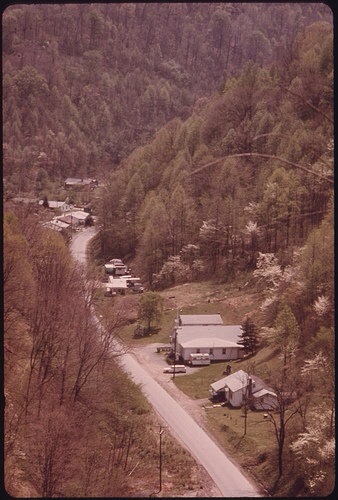
Elevation of King Coal Highway, Delbarton, WV, USA
Location: United States > West Virginia > Mingo County > Delbarton >
Longitude: -82.084605
Latitude: 37.6418862
Elevation: 660m / 2165feet
Barometric Pressure: 94KPa
Related Photos:
Topographic Map of King Coal Highway, Delbarton, WV, USA
Find elevation by address:

Places near King Coal Highway, Delbarton, WV, USA:
Devil's Backbone Adventure Resort, Llc
Red Jacket
Magnolia
Matewan
67 Dimple Dr, Gilbert, WV, USA
Buskirk
WV-49, Delbarton, WV, USA
193 Maynard Park
Pine Creek Rd, Omar, WV, USA
Lee
Jerry W Hwy, Delbarton, WV, USA
Williamson
Delbarton
Lower Curry Cemetery
Buffalo Mountain Trailhead, Hatfield-mccoy Trails
Omar
179 Lumber Camp Cir
Western
Western
Western
Recent Searches:
- Elevation of Groblershoop, South Africa
- Elevation of Power Generation Enterprises | Industrial Diesel Generators, Oak Ave, Canyon Country, CA, USA
- Elevation of Chesaw Rd, Oroville, WA, USA
- Elevation of N, Mt Pleasant, UT, USA
- Elevation of 6 Rue Jules Ferry, Beausoleil, France
- Elevation of Sattva Horizon, 4JC6+G9P, Vinayak Nagar, Kattigenahalli, Bengaluru, Karnataka, India
- Elevation of Great Brook Sports, Gold Star Hwy, Groton, CT, USA
- Elevation of 10 Mountain Laurels Dr, Nashua, NH, USA
- Elevation of 16 Gilboa Ln, Nashua, NH, USA
- Elevation of Laurel Rd, Townsend, TN, USA


