Elevation of Western, WV, USA
Location: United States > West Virginia > Logan County >
Longitude: -82.018915
Latitude: 37.7716511
Elevation: 516m / 1693feet
Barometric Pressure: 95KPa
Elevation Map:
Satellite Map:
Related Photos:

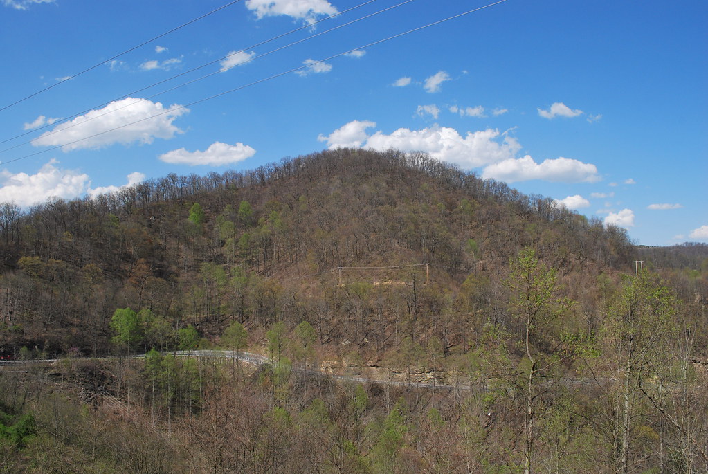
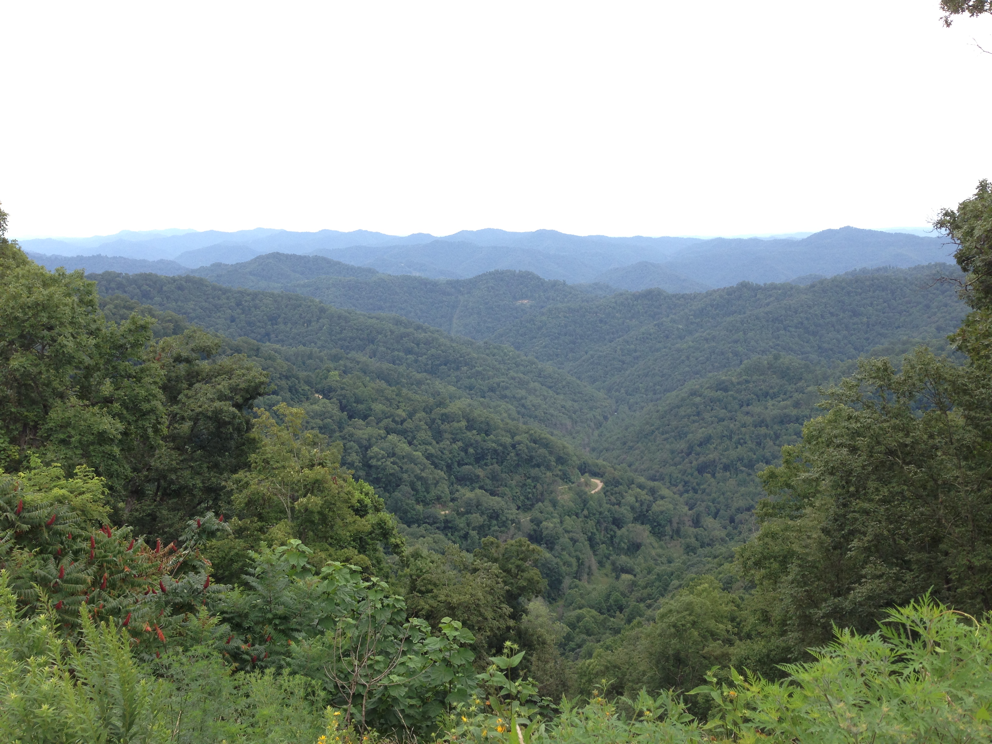
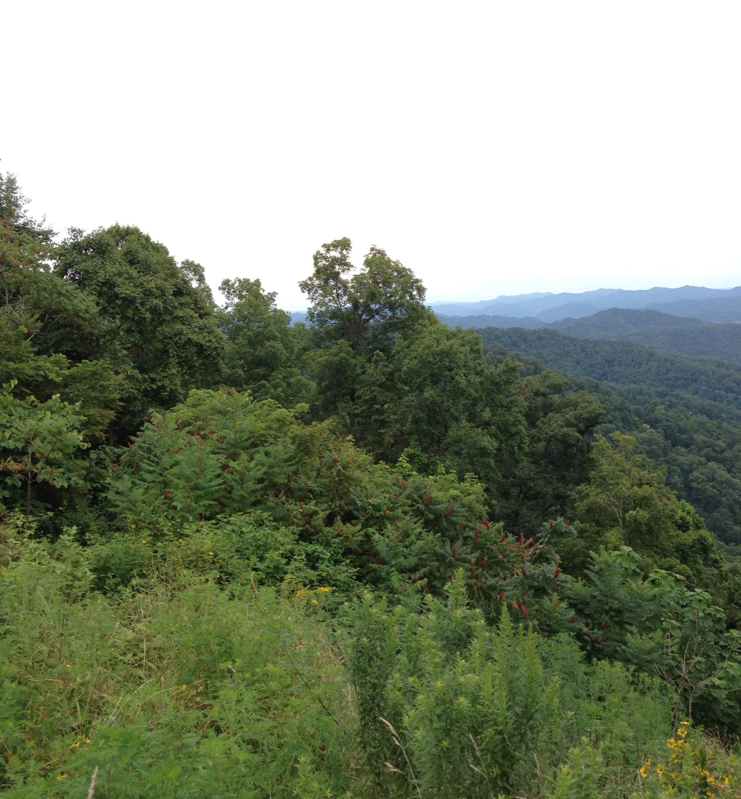
West Virginia Scenery

Sundown Whitman, WV 1
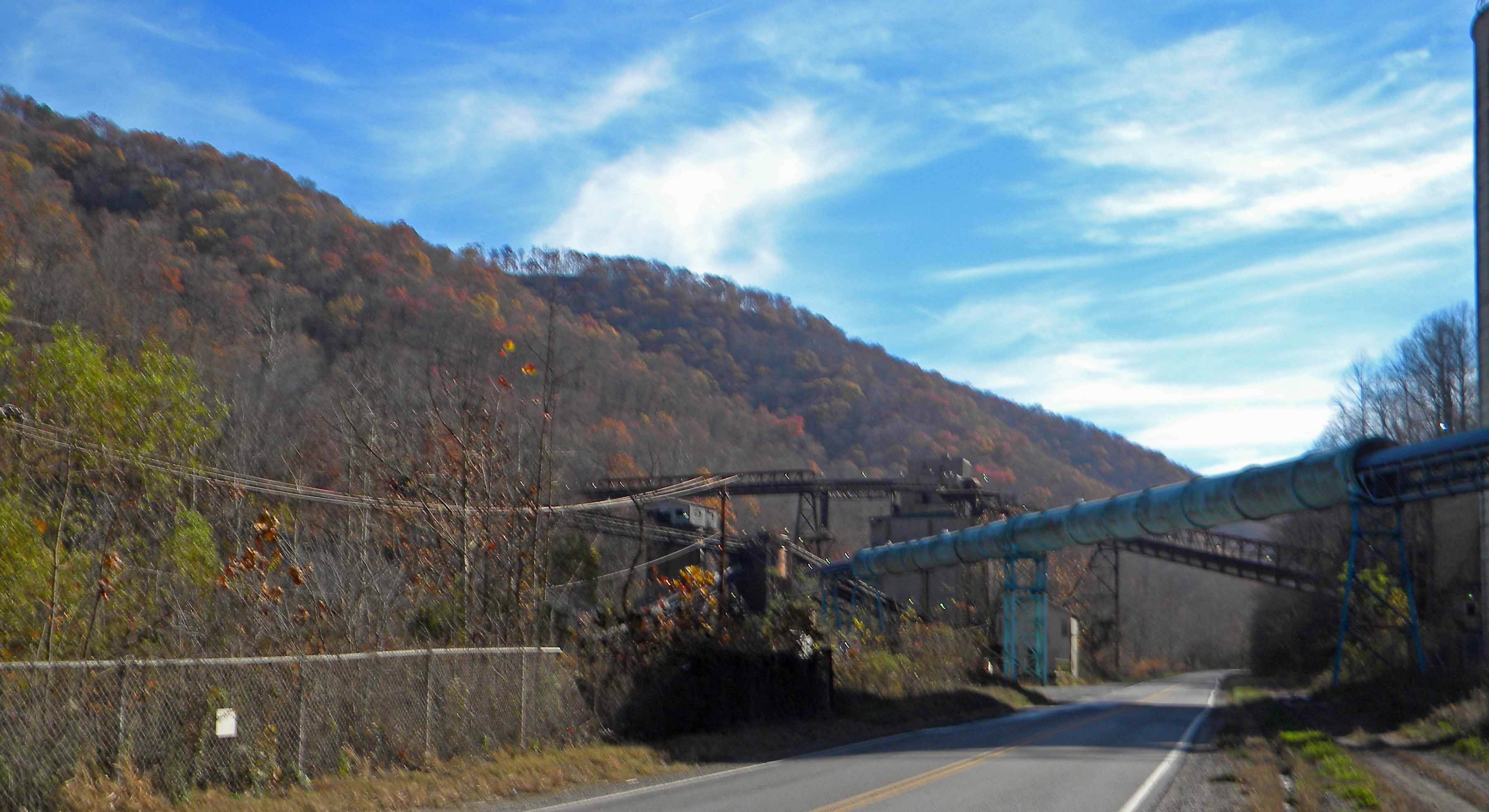
Stirrat WV: Logan County: Part of the Coal Preperation Plant

Abandoned Man Hospital

20081020-153724.jpg

Abandoned Man Hospital

Abandoned Man Hospital

WV 10 Man Bridge over Guyandotte River
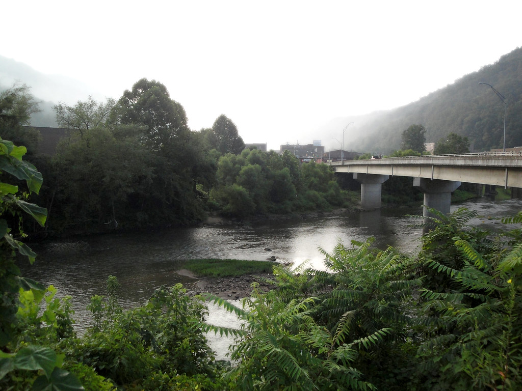
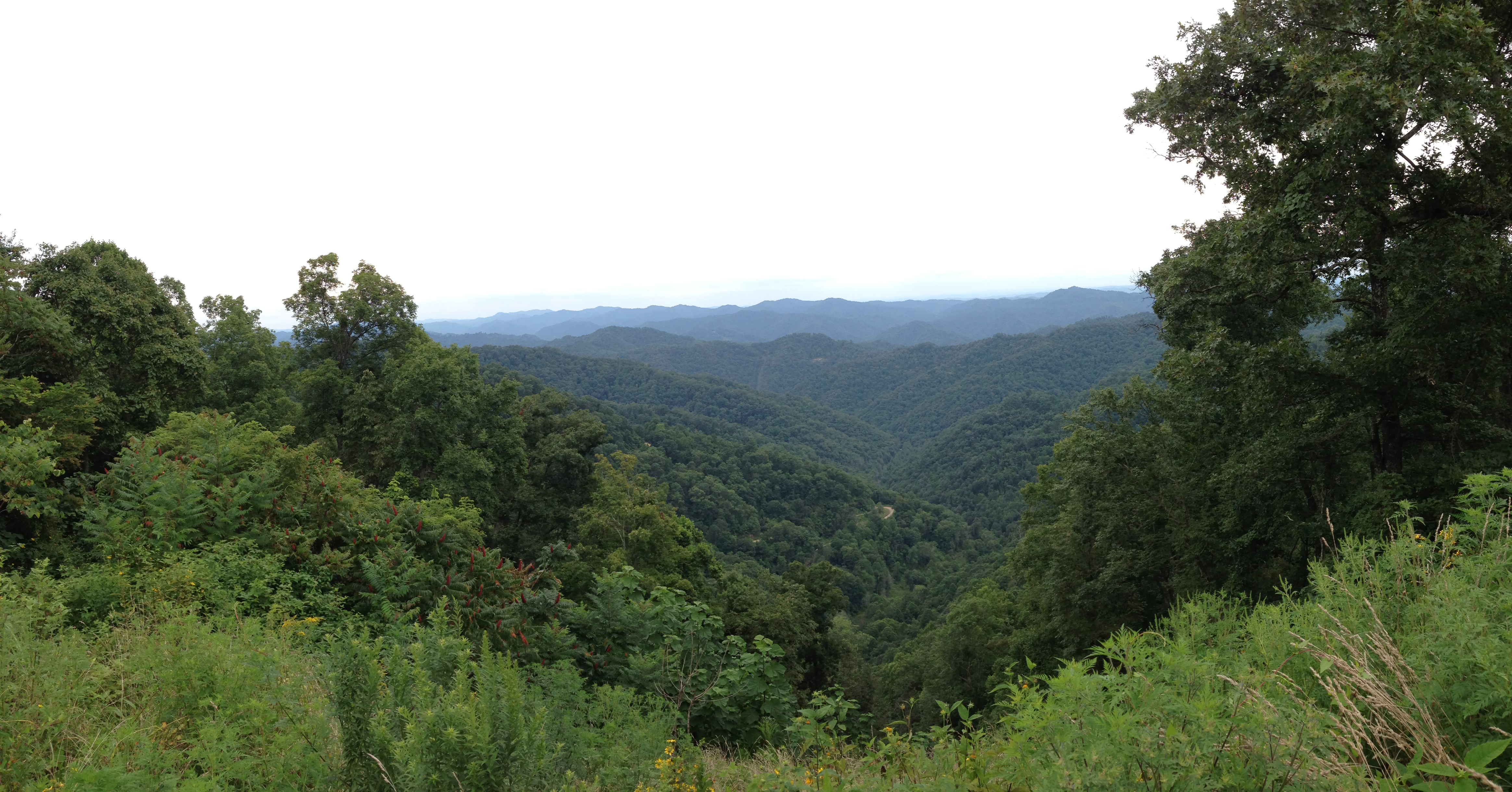
River in West Virginia
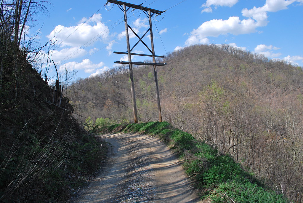
Fire Tower Road (Mingo CR 52/8)

New WV 10 at Midway Plaza
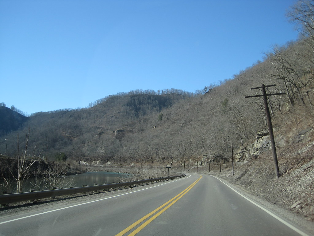
WV 10 along Guyandotte River
Horsepen Mountain
Hatfield & McCoy Trails

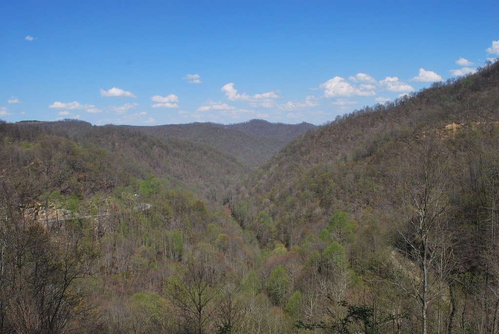
WV 10 at Buffalo Creek
Horsepen Mountain
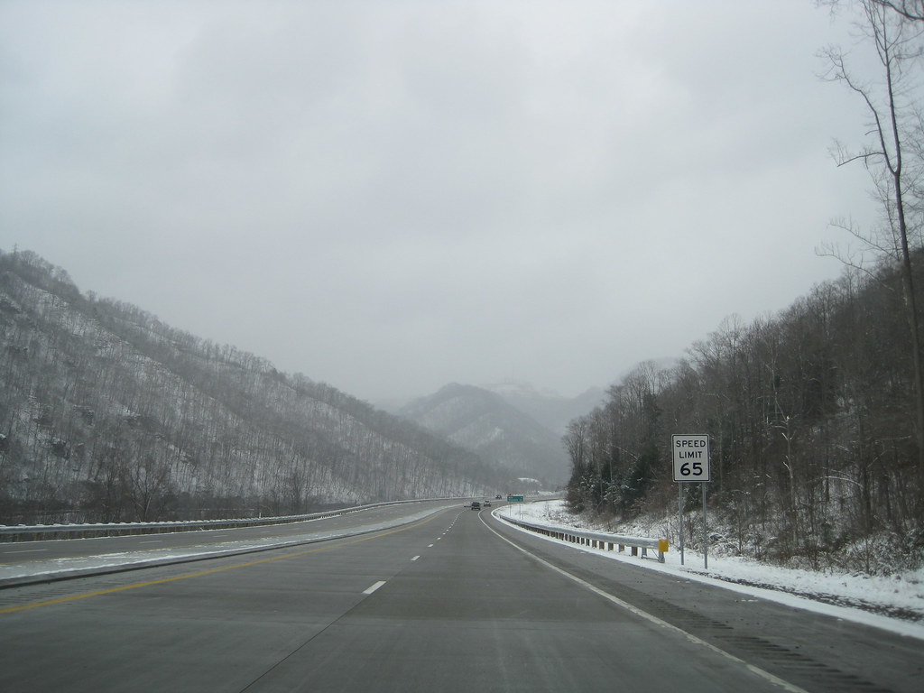
New WV 10

New WV 10's Northern End
Hatfield & McCoy Trails
Hatfield & McCoy Trails
Topographic Map of Western, WV, USA
Find elevation by address:

Places near Western, WV, USA:
Western
Western
179 Lumber Camp Cir
Omar
Jerry W Hwy, Delbarton, WV, USA
Pine Creek Rd, Omar, WV, USA
Logan County
Hanging Rock Hwy, Lyburn, WV, USA
193 Maynard Park
67 Dimple Dr, Gilbert, WV, USA
Lee
1000 King Coal Highway
Mingo County
Devil's Backbone Adventure Resort, Llc
Lower Curry Cemetery
Red Jacket
Delbarton
Magnolia
Buffalo Mountain Trailhead, Hatfield-mccoy Trails
WV-49, Delbarton, WV, USA
Recent Searches:
- Elevation of Corso Fratelli Cairoli, 35, Macerata MC, Italy
- Elevation of Tallevast Rd, Sarasota, FL, USA
- Elevation of 4th St E, Sonoma, CA, USA
- Elevation of Black Hollow Rd, Pennsdale, PA, USA
- Elevation of Oakland Ave, Williamsport, PA, USA
- Elevation of Pedrógão Grande, Portugal
- Elevation of Klee Dr, Martinsburg, WV, USA
- Elevation of Via Roma, Pieranica CR, Italy
- Elevation of Tavkvetili Mountain, Georgia
- Elevation of Hartfords Bluff Cir, Mt Pleasant, SC, USA