Elevation of Phelps, KY, USA
Location: United States > Kentucky > Pike County >
Longitude: -82.153195
Latitude: 37.5144292
Elevation: 258m / 846feet
Barometric Pressure: 98KPa
Elevation Map:
Satellite Map:
Related Photos:
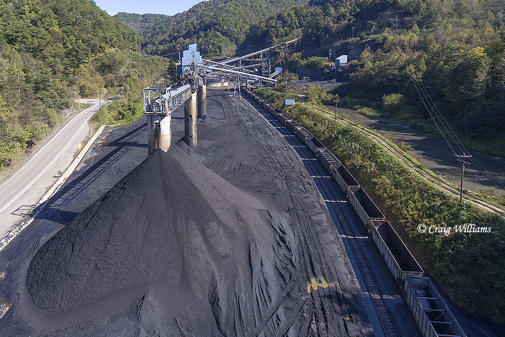
Clintwood Elkhorn Mining at Biggs KY
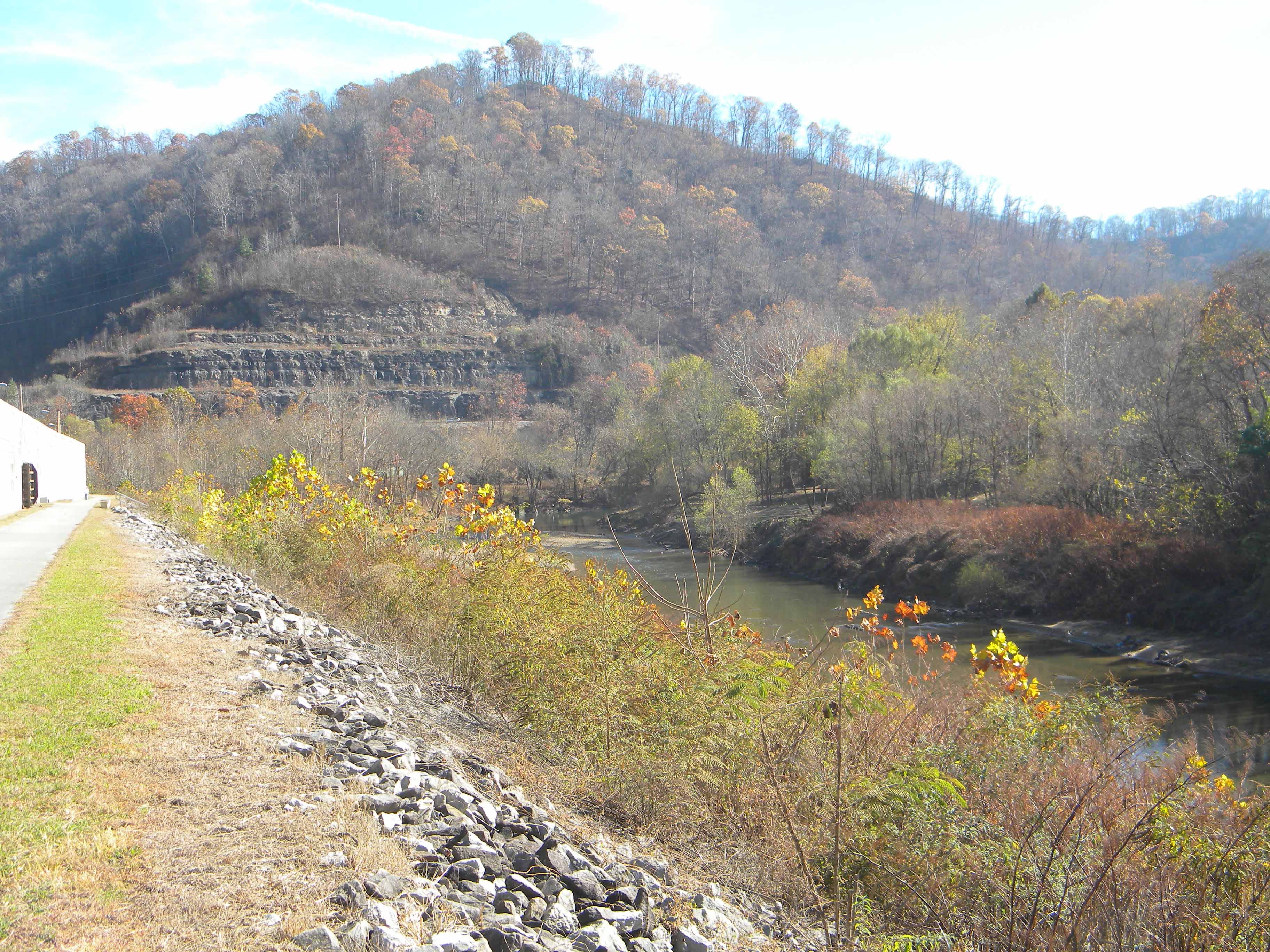
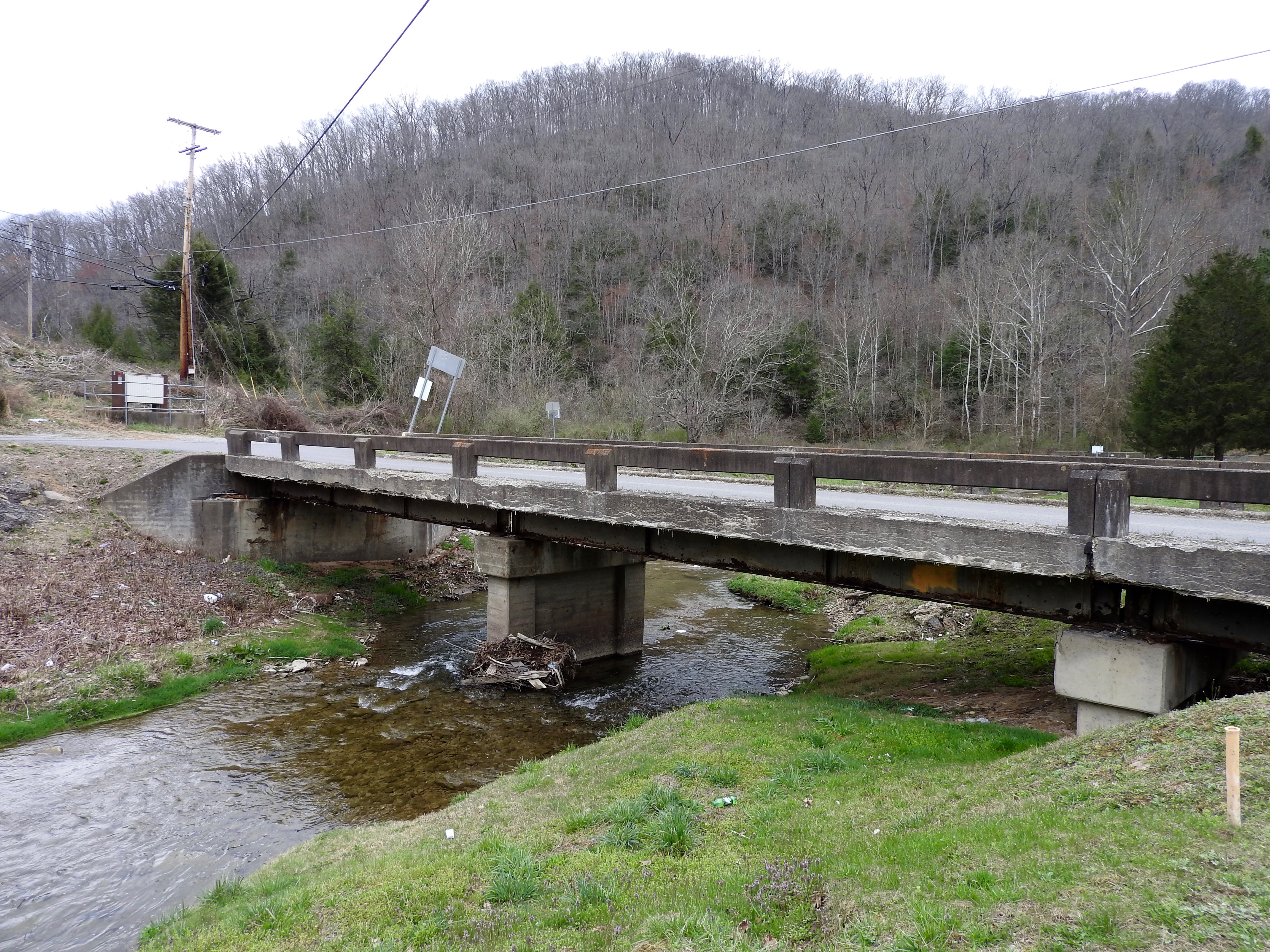
Matewan WV: The Tug River Outside the Flood Wall

20081020-153043.jpg

20081020-153028.jpg
DSC_4725.JPG
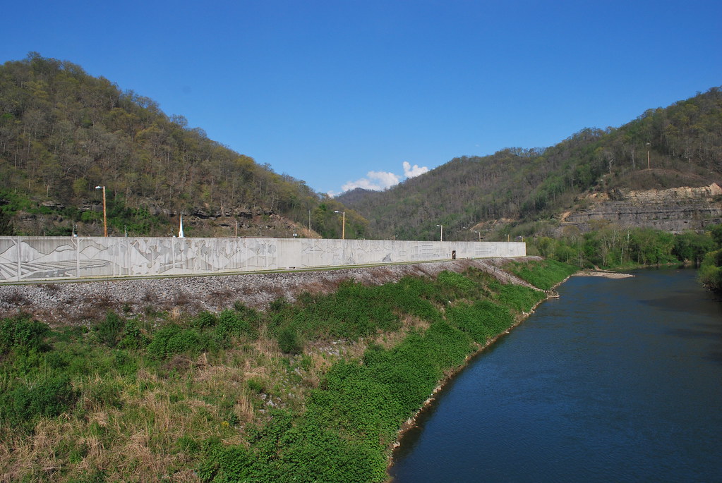
Matewan Floodwall
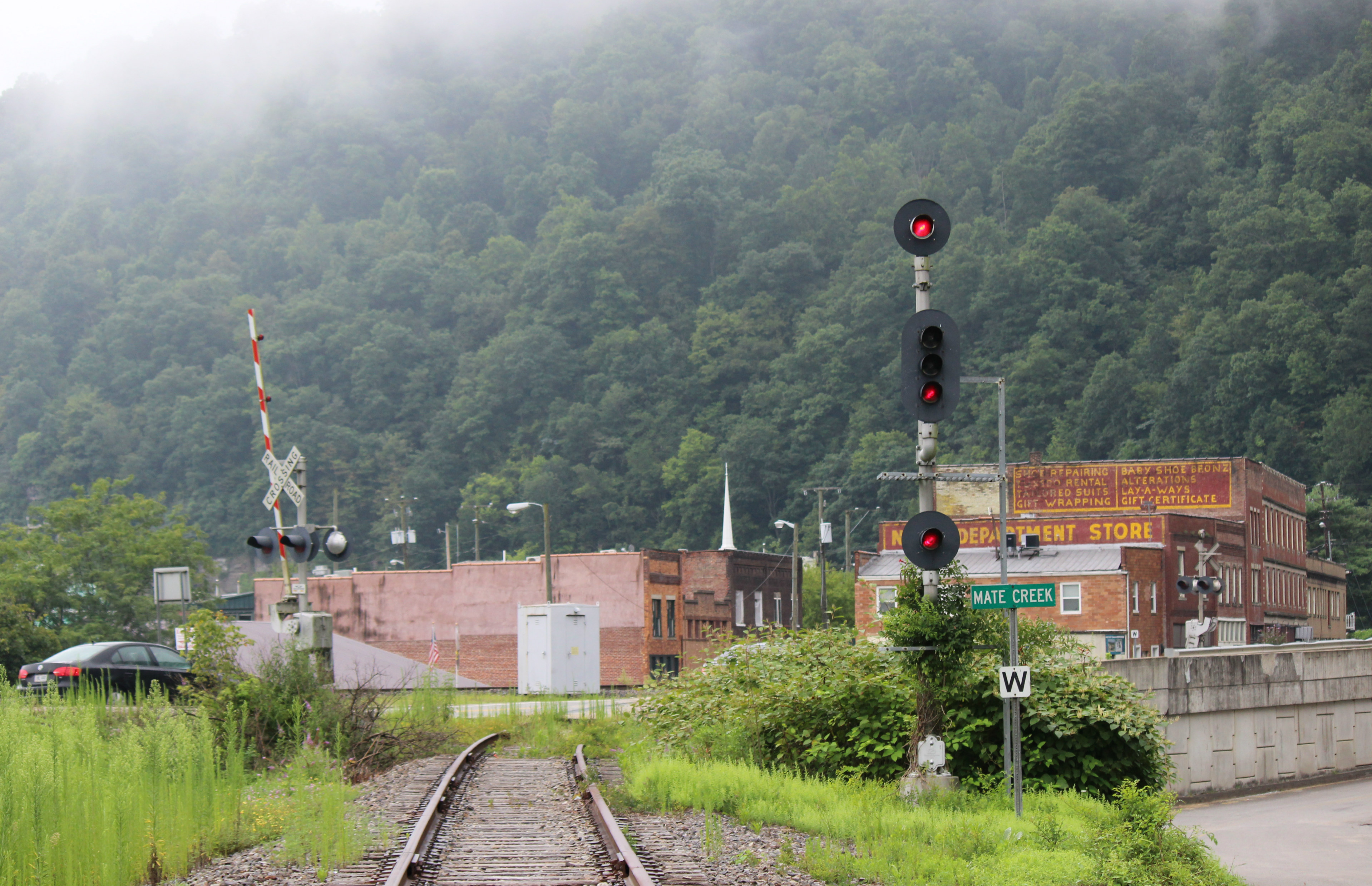
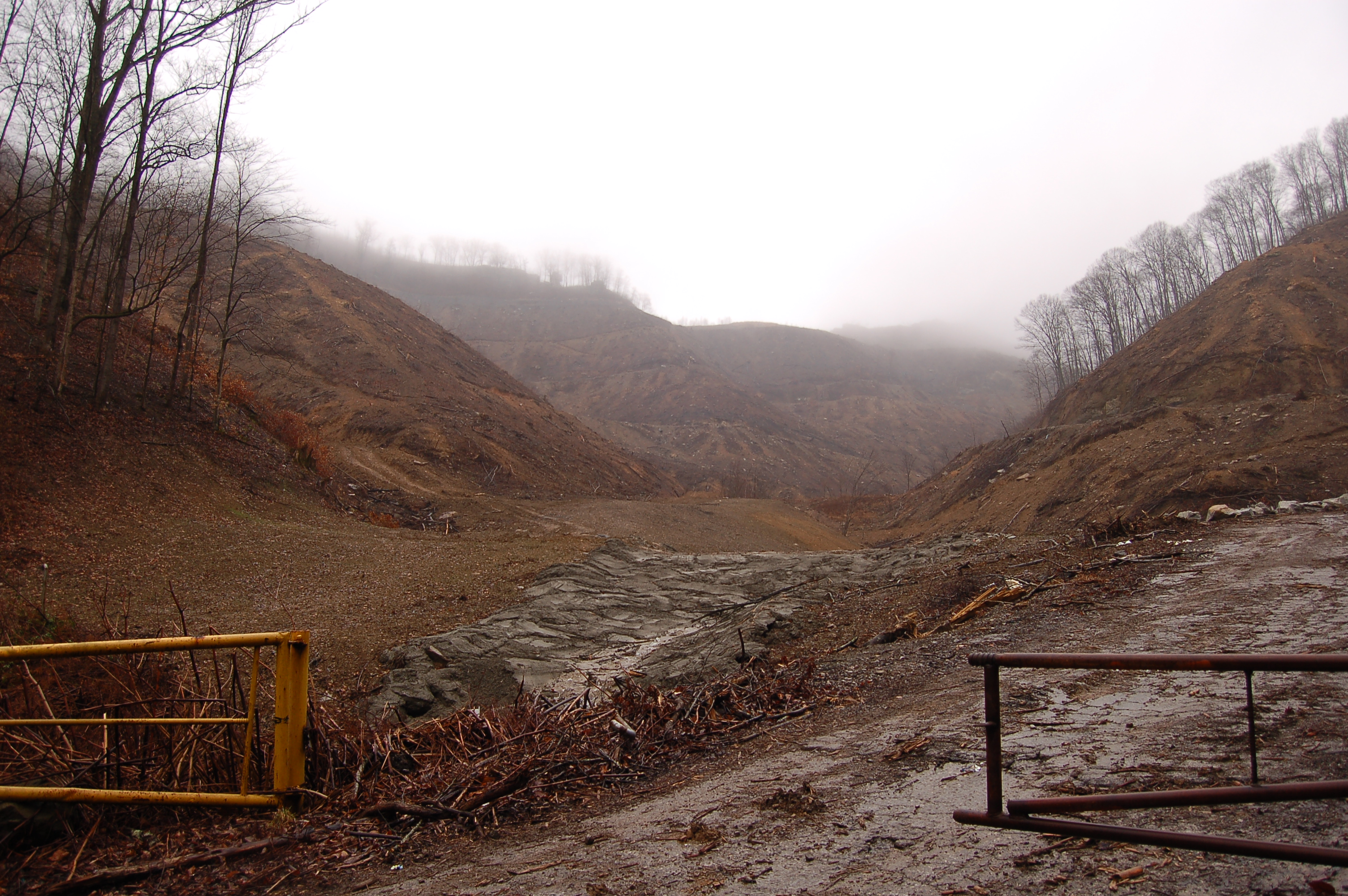
The abandon Mate Creek Branch in Matewan, WV
Killing of Asa Harmon McCoy
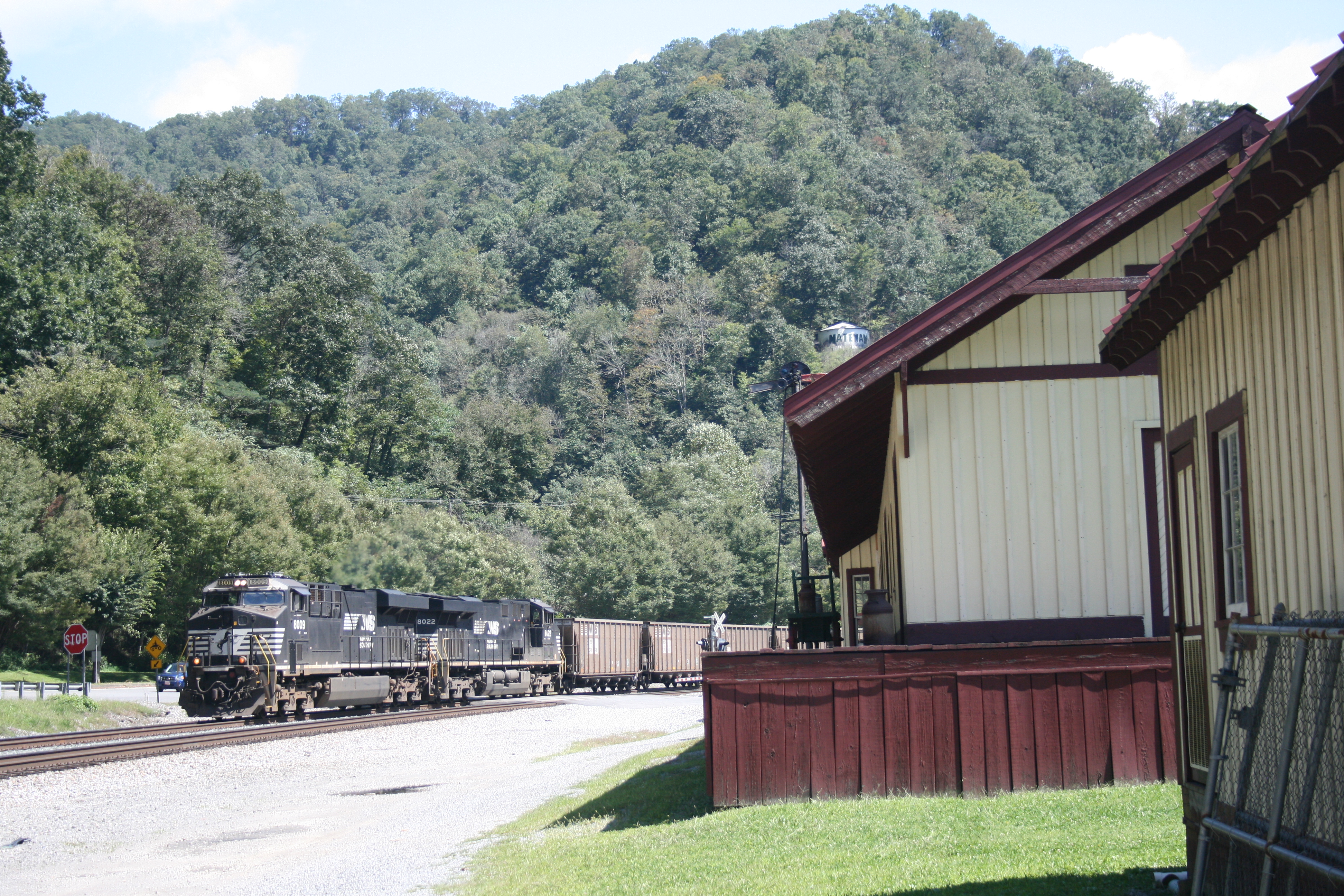
Westbound through Matewan.

20081020-152449.jpg

The way it is
Topographic Map of Phelps, KY, USA
Find elevation by address:

Places near Phelps, KY, USA:
46 Bunny Ln, Magnolia, WV, USA
Ransom
State Hwy, McCarr, KY, USA
5768 State Hwy 1056
WV-49, Matewan, WV, USA
Mccarr
Buskirk
Magnolia
Matewan
WV-49, Delbarton, WV, USA
25 Abshire Hollow
1680 Puncheon Camp Rd
Red Jacket
19911 Grapevine Rd
Devil's Backbone Adventure Resort, Llc
Stone
1173 State Hwy 199
Jacks Creek Road
Williamson
Jacks Creek Road
Recent Searches:
- Elevation of Dog Leg Dr, Minden, NV, USA
- Elevation of Dog Leg Dr, Minden, NV, USA
- Elevation of Kambingan Sa Pansol Atbp., Purok 7 Pansol, Candaba, Pampanga, Philippines
- Elevation of Pinewood Dr, New Bern, NC, USA
- Elevation of Mountain View, CA, USA
- Elevation of Foligno, Province of Perugia, Italy
- Elevation of Blauwestad, Netherlands
- Elevation of Bella Terra Blvd, Estero, FL, USA
- Elevation of Estates Loop, Priest River, ID, USA
- Elevation of Woodland Oak Pl, Thousand Oaks, CA, USA