Elevation of State Hwy, Charleston, AR, USA
Location: United States > Arkansas > Sebastian County >
Longitude: -94.093441
Latitude: 35.32454
Elevation: 131m / 430feet
Barometric Pressure: 100KPa
Elevation Map:
Satellite Map:
Related Photos:

Franklin County Courthouse (Charleston, Arkansas)
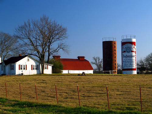
This Buds For You
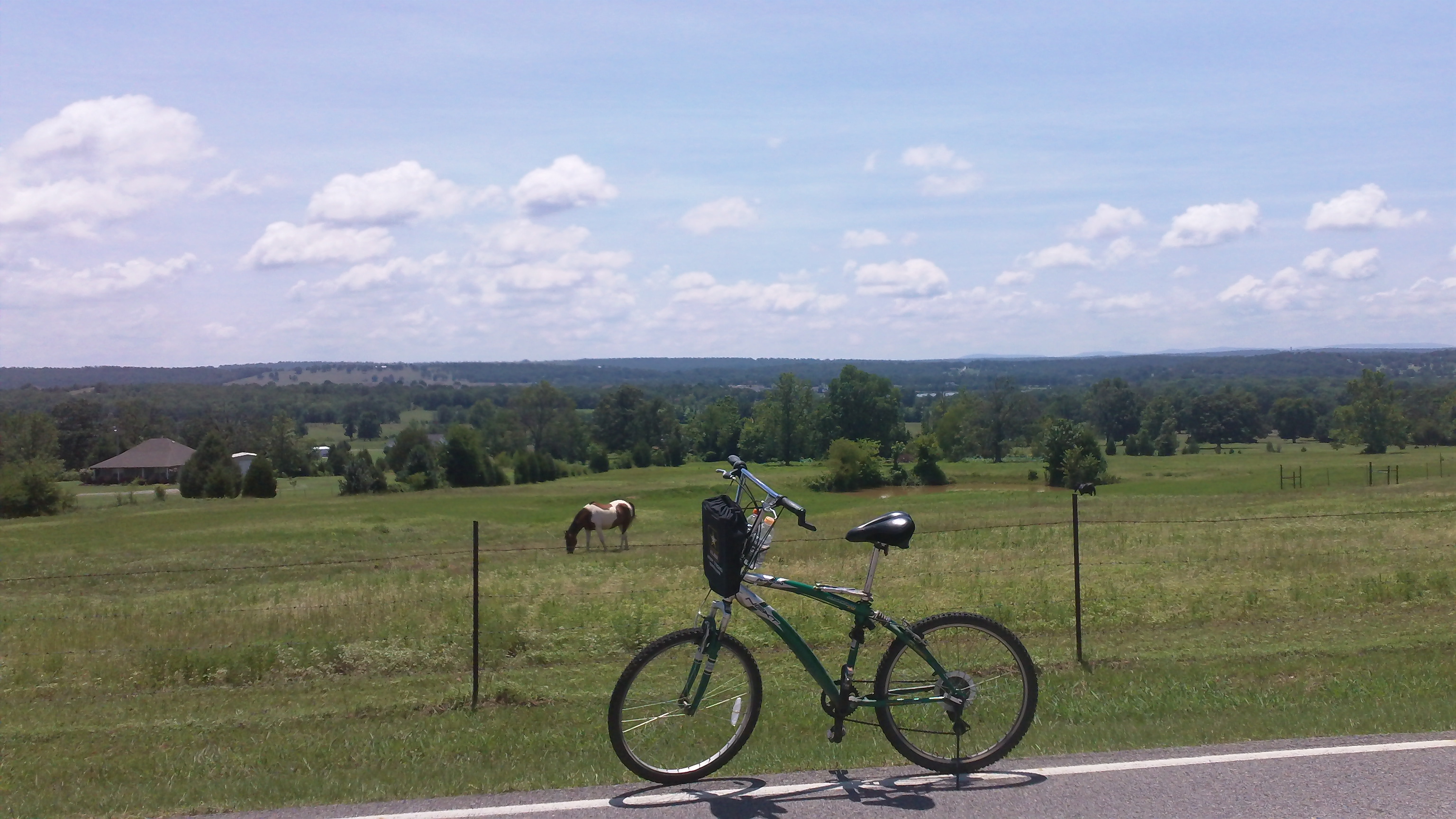
cycling with horses
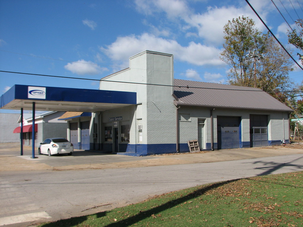
Daves Service/ Fina - Side View
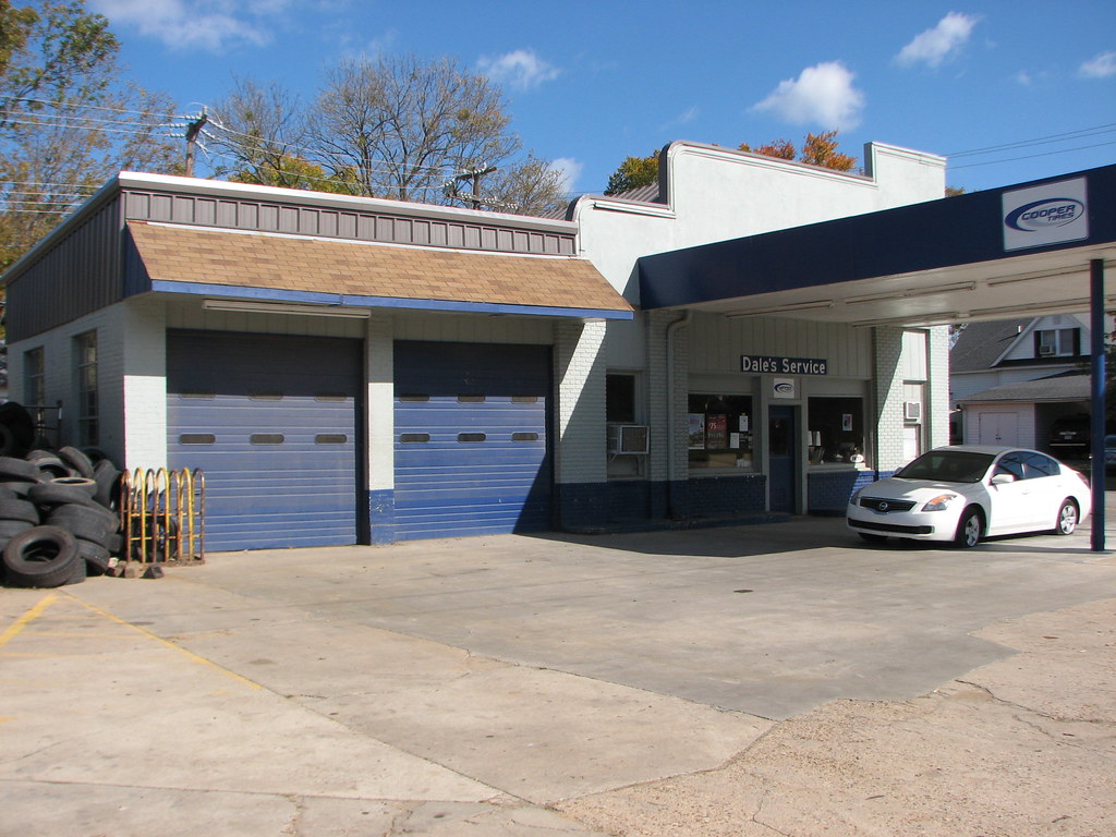
Daves Service/ Fina - Oblique View
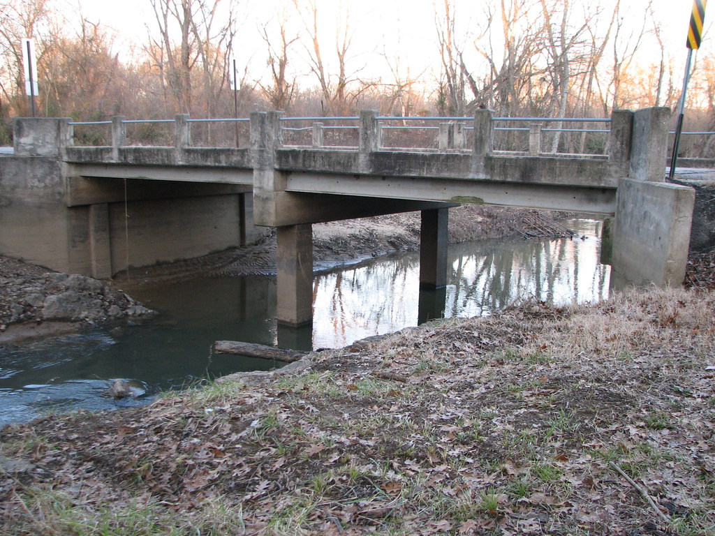
Onion Creek-Side View

Sunflowers signal the arrival of summer

dirt road

Pale Purple Coneflower ( Echinacea pallida )
Cherokee Prairie

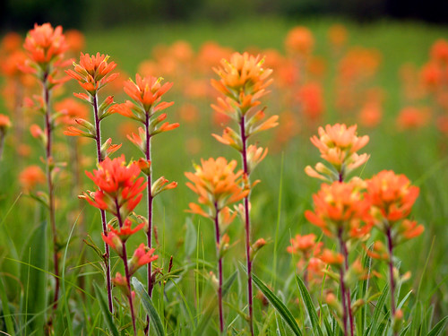
Arkansas Coneflowers

Budweiser Can Sunset
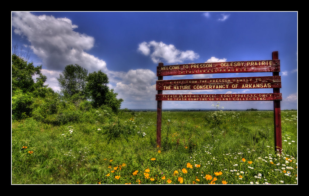
Presson - Oglesby Prairie
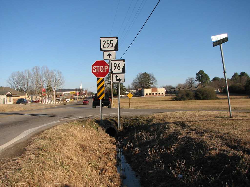
255 at 96
Cherokee Prairie

softball_v_mulberry 091

softball_v_mulberry 085
Topographic Map of State Hwy, Charleston, AR, USA
Find elevation by address:

Places near State Hwy, Charleston, AR, USA:
Bloomer Township
AR-22, Charleston, AR, USA
Charleston
AR-, Charleston, AR, USA
Hwy, Mansfield, AR, USA
4440 Spike Ridge Trail
Yoestown Rd, Alma, AR, USA
Branch
2214 Mantooth Rd
Kibler Township
Hurricane Township
2303 Rattlesnake Canyon Rd
Old Hwy 10, Greenwood, AR, USA
Pendergrass Cattle Co Inc
AR-10, Greenwood, AR, USA
Dyer Township
Greenwood, AR, USA
Washburn Township
Washington, Alma, AR, USA
Dyer
Recent Searches:
- Elevation of Congressional Dr, Stevensville, MD, USA
- Elevation of Bellview Rd, McLean, VA, USA
- Elevation of Stage Island Rd, Chatham, MA, USA
- Elevation of Shibuya Scramble Crossing, 21 Udagawacho, Shibuya City, Tokyo -, Japan
- Elevation of Jadagoniai, Kaunas District Municipality, Lithuania
- Elevation of Pagonija rock, Kranto 7-oji g. 8"N, Kaunas, Lithuania
- Elevation of Co Rd 87, Jamestown, CO, USA
- Elevation of Tenjo, Cundinamarca, Colombia
- Elevation of Côte-des-Neiges, Montreal, QC H4A 3J6, Canada
- Elevation of Bobcat Dr, Helena, MT, USA