Elevation of Old Hwy 10, Greenwood, AR, USA
Location: United States > Arkansas > Sebastian County > Washburn Township >
Longitude: -94.093618
Latitude: 35.1683952
Elevation: 183m / 600feet
Barometric Pressure: 99KPa
Elevation Map:
Satellite Map:
Related Photos:
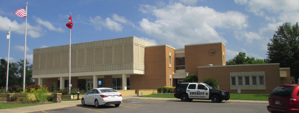
Sebastian County Courthouse (Greenwood, Arkansas)
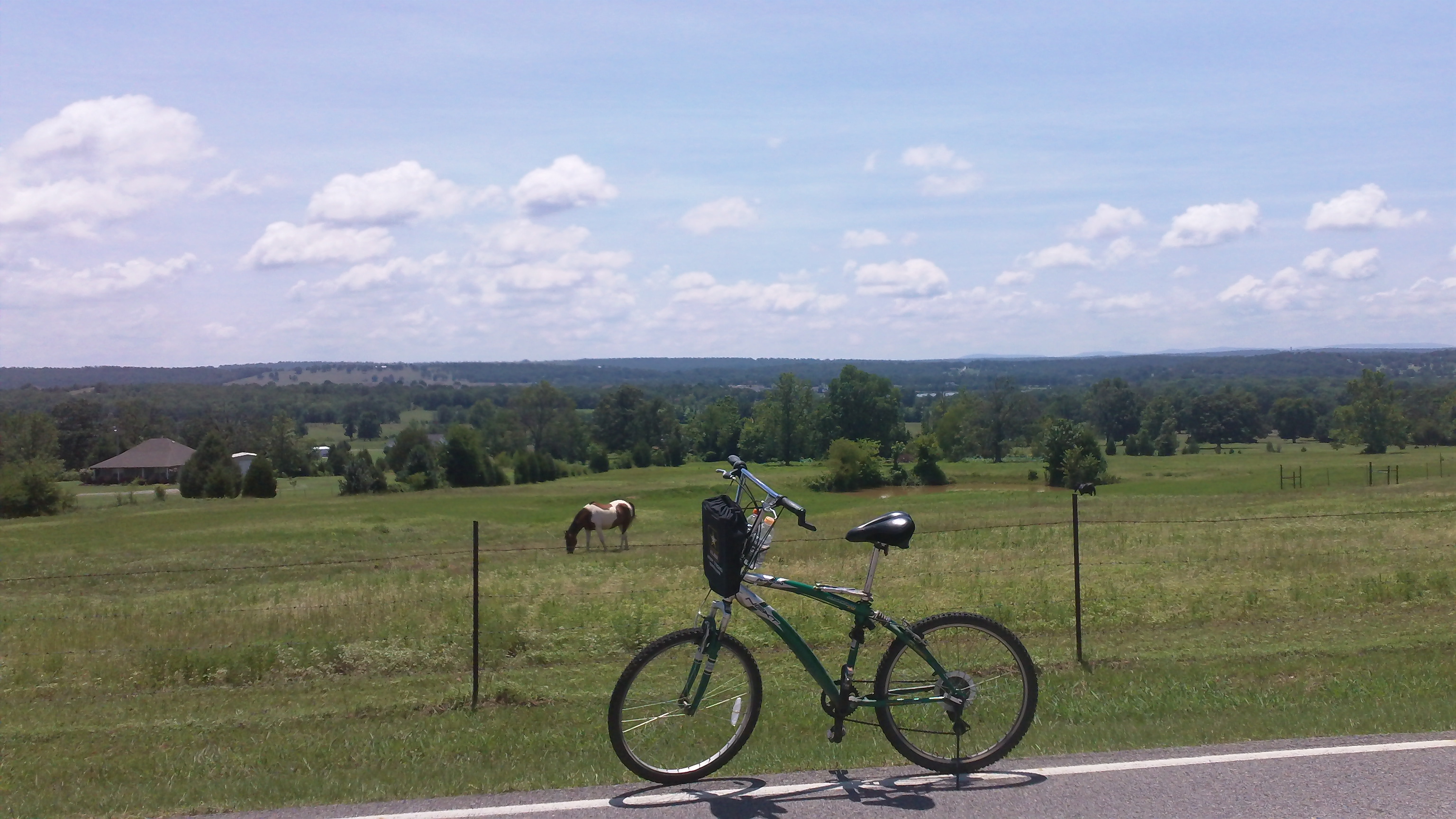
cycling with horses

Franklin County Courthouse (Charleston, Arkansas)
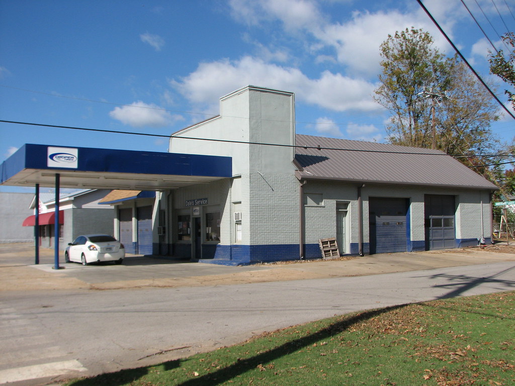
Daves Service/ Fina - Side View
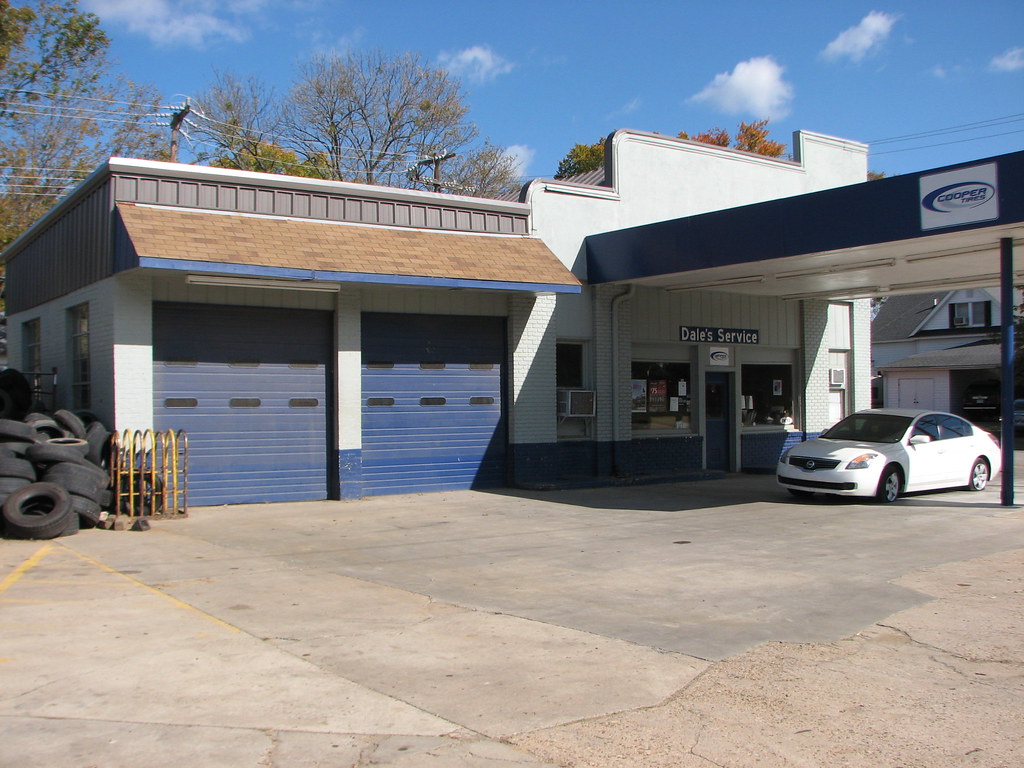
Daves Service/ Fina - Oblique View
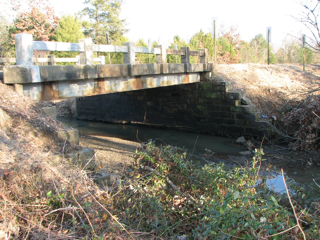
Rattlesnake Creek-Side View
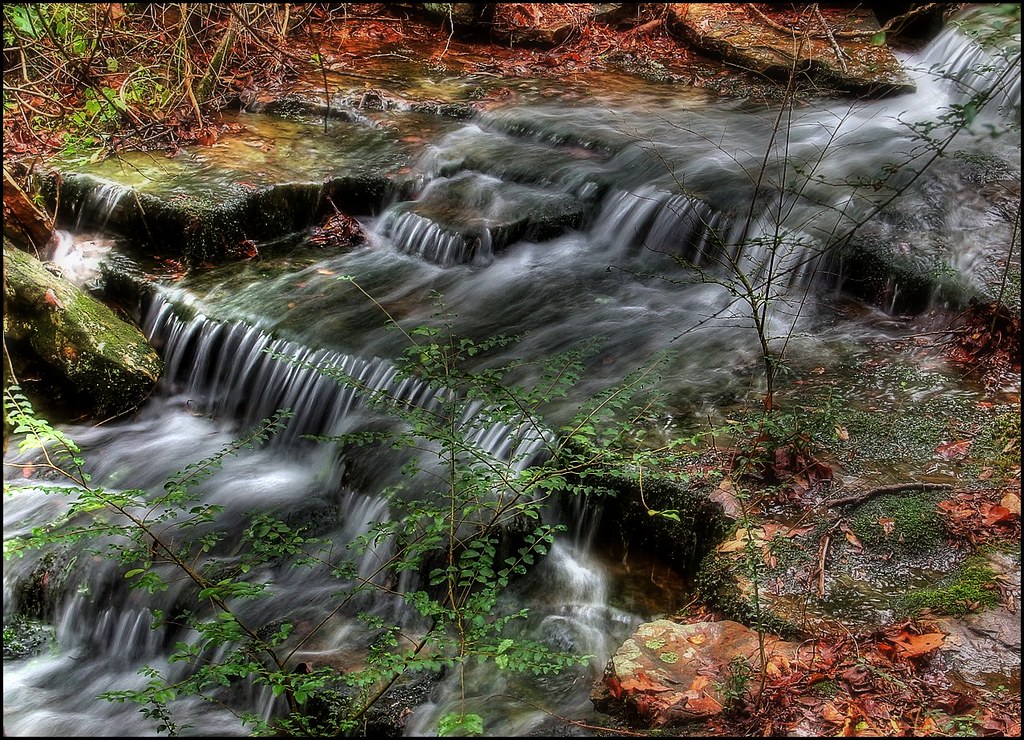
Kenny's Creek
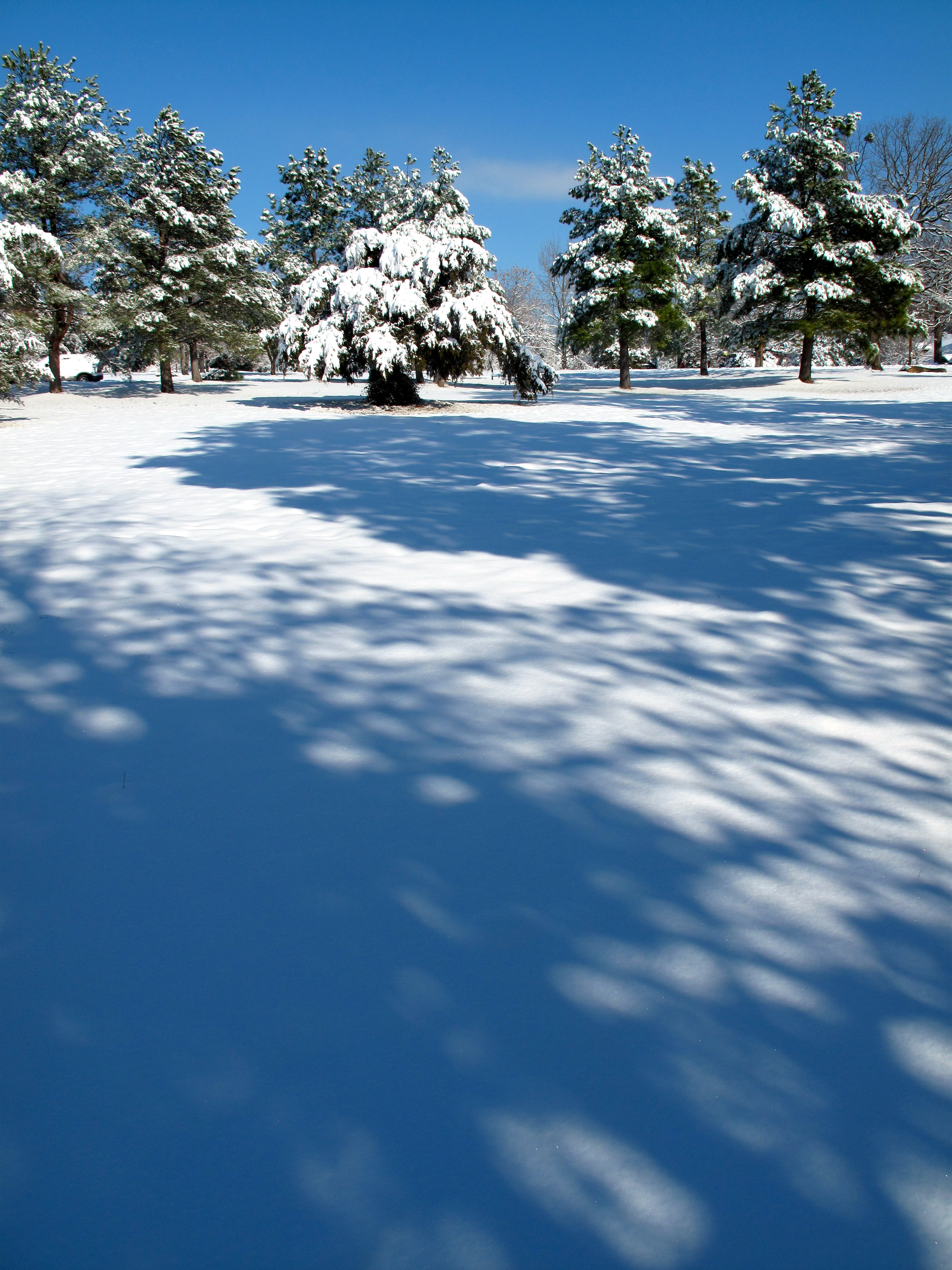
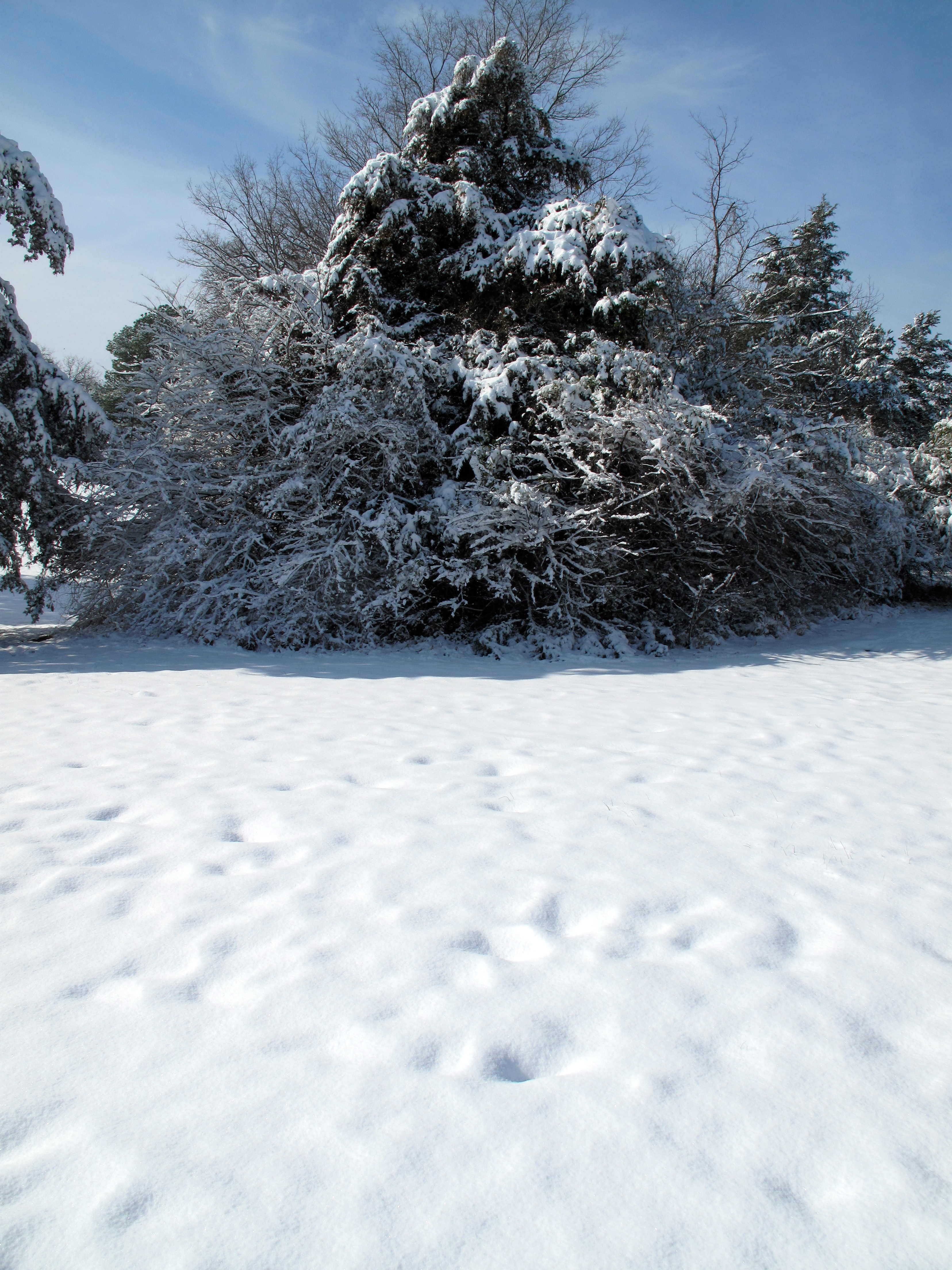
Snow Land

Cotton Candy Sky
Across the Road
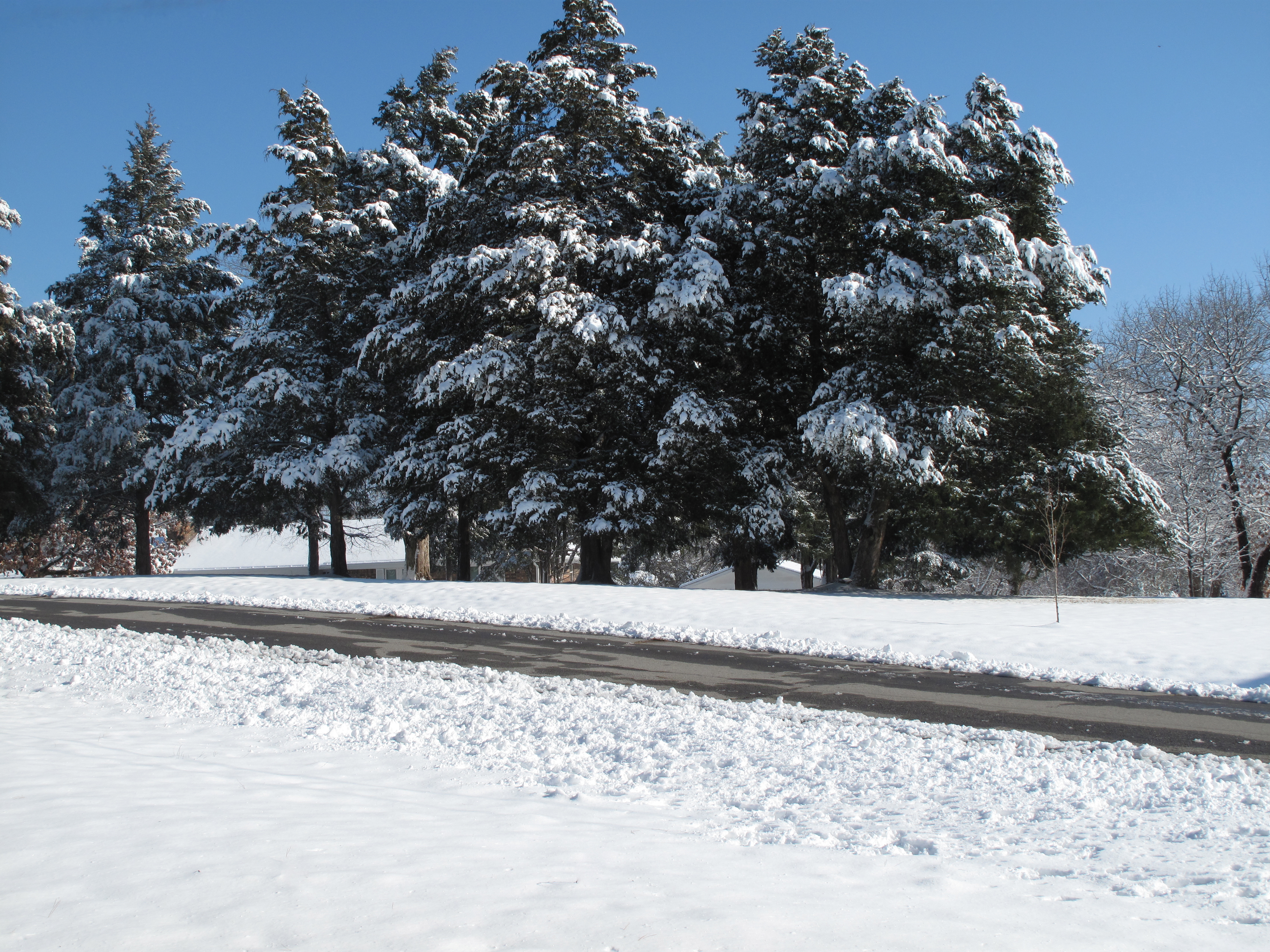
Snow Land 2

Abandoned Service Station (7)

Overnight rain
Topographic Map of Old Hwy 10, Greenwood, AR, USA
Find elevation by address:

Places near Old Hwy 10, Greenwood, AR, USA:
Washburn Township
2303 Rattlesnake Canyon Rd
AR-, Greenwood, AR, USA
AR-10, Greenwood, AR, USA
4440 Spike Ridge Trail
Greenwood, AR, USA
AR-22, Charleston, AR, USA
Charleston
Bloomer Township
State Hwy, Charleston, AR, USA
AR-23, Booneville, AR, USA
401 Todd Rd
Branch
Washburn Township
AR-, Charleston, AR, USA
Hurricane Township
67 N Maple St, Ratcliff, AR, USA
Ratcliff
Pendergrass Cattle Co Inc
2214 Mantooth Rd
Recent Searches:
- Elevation of Congressional Dr, Stevensville, MD, USA
- Elevation of Bellview Rd, McLean, VA, USA
- Elevation of Stage Island Rd, Chatham, MA, USA
- Elevation of Shibuya Scramble Crossing, 21 Udagawacho, Shibuya City, Tokyo -, Japan
- Elevation of Jadagoniai, Kaunas District Municipality, Lithuania
- Elevation of Pagonija rock, Kranto 7-oji g. 8"N, Kaunas, Lithuania
- Elevation of Co Rd 87, Jamestown, CO, USA
- Elevation of Tenjo, Cundinamarca, Colombia
- Elevation of Côte-des-Neiges, Montreal, QC H4A 3J6, Canada
- Elevation of Bobcat Dr, Helena, MT, USA