Elevation of Bloomer Township, AR, USA
Location: United States > Arkansas > Sebastian County >
Longitude: -94.120674
Latitude: 35.309556
Elevation: 149m / 489feet
Barometric Pressure: 100KPa
Elevation Map:
Satellite Map:
Related Photos:
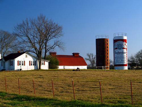
This Buds For You
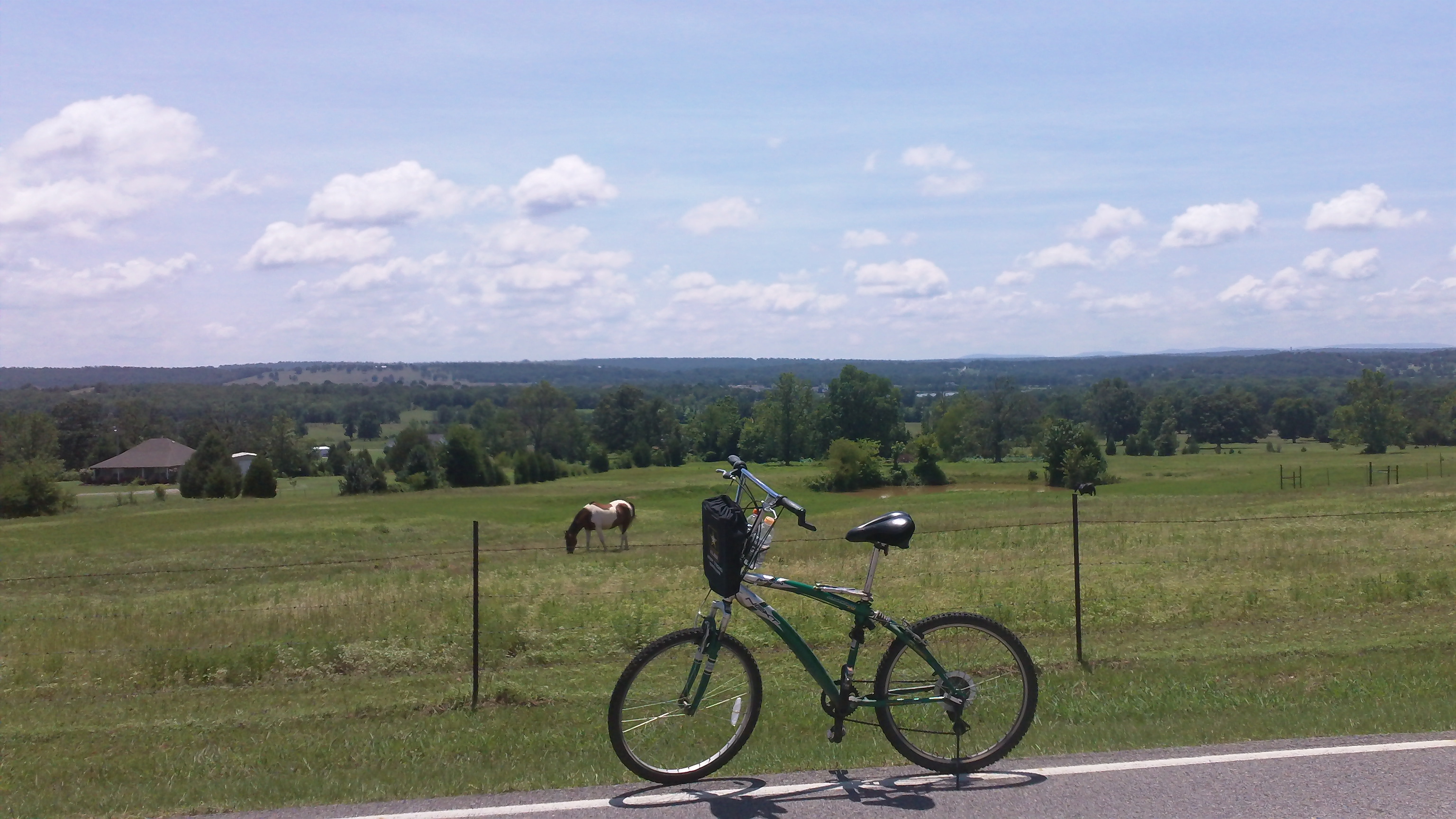
cycling with horses

Franklin County Courthouse (Charleston, Arkansas)
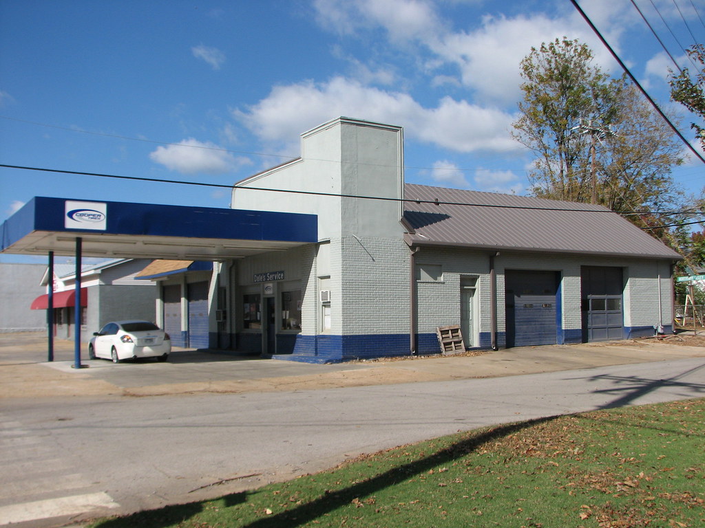
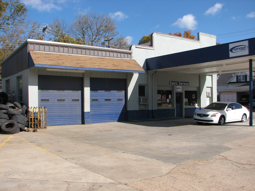
Daves Service/ Fina - Side View
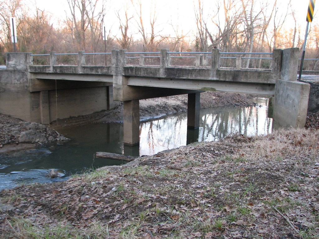
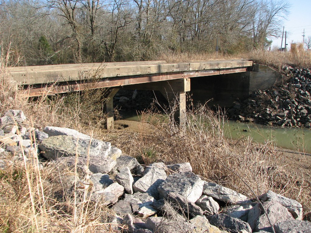
Onion Creek-Side View
Daves Service/ Fina - Oblique View
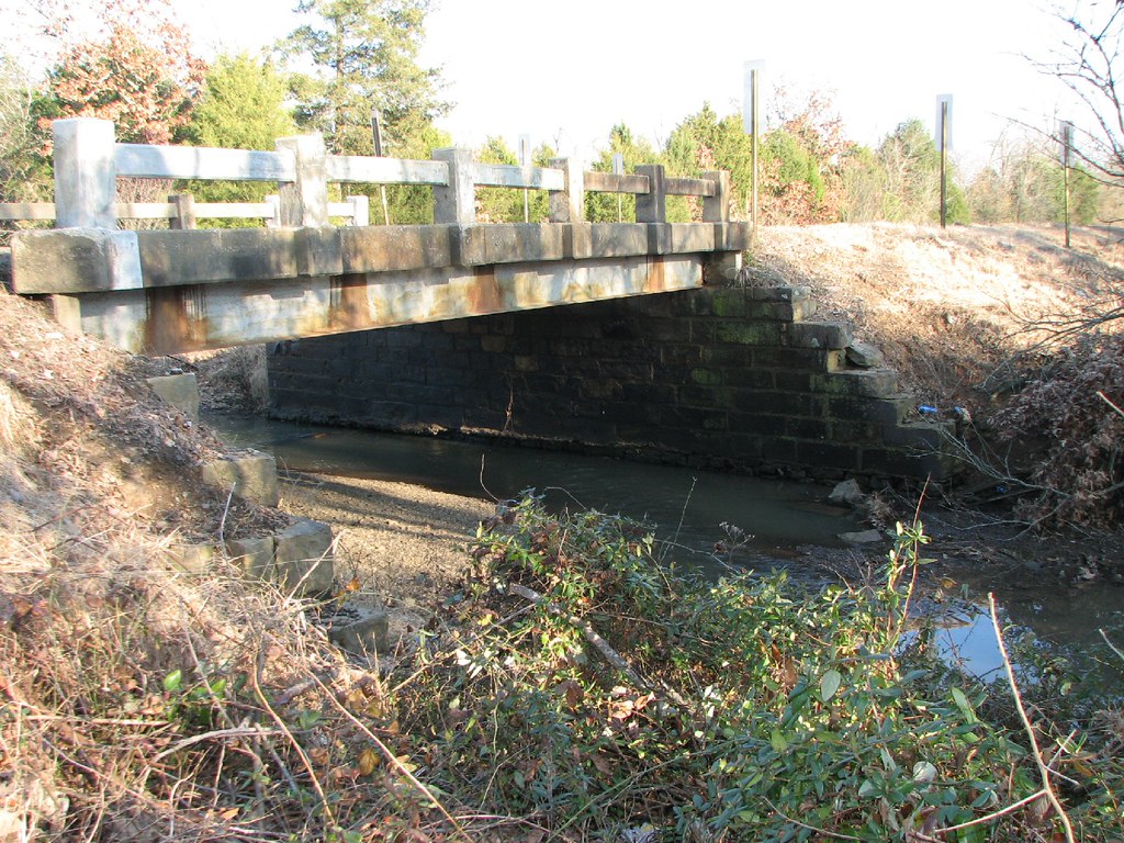
Little Vache Grasse - Side View
Rattlesnake Creek-Side View

Pale Purple Coneflower ( Echinacea pallida )

dirt road
Cherokee Prairie

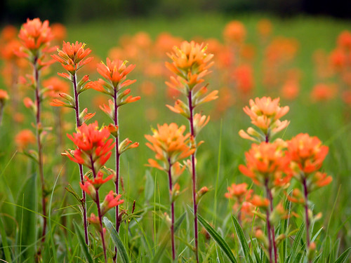
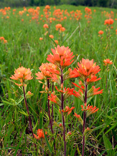
Arkansas Coneflowers

Budweiser Can Sunset
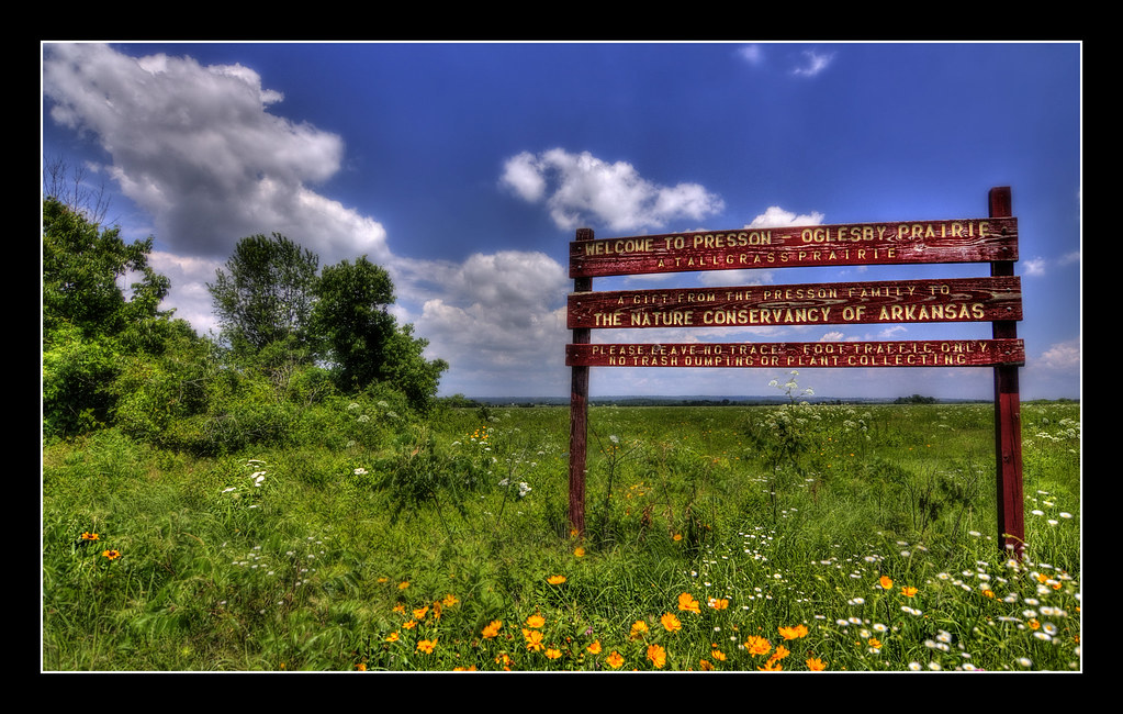
Presson - Oglesby Prairie

Home Sweet Home...Arkansas!
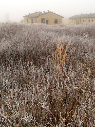
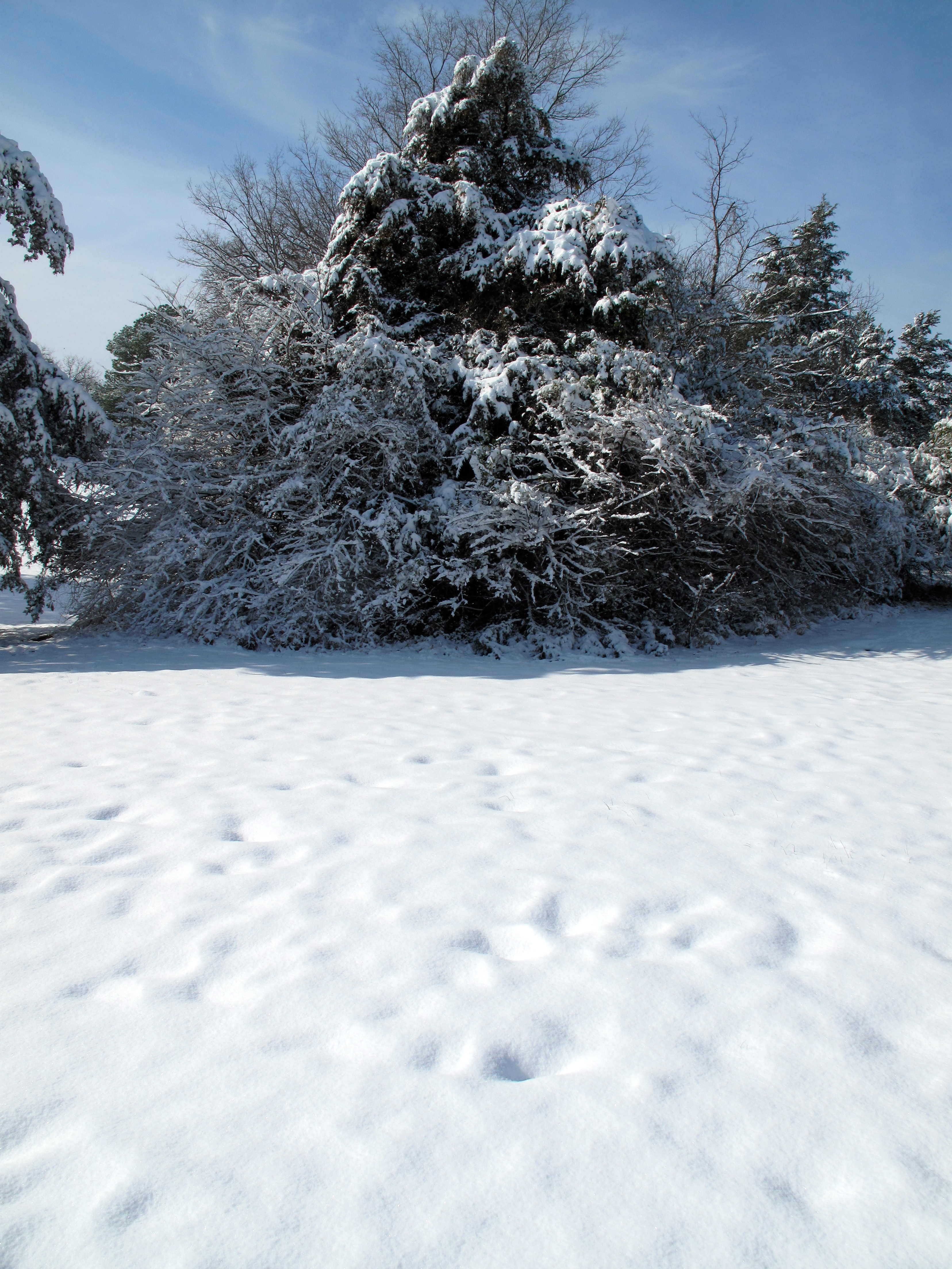
Frosty Ft. Chaffee

Cotton Candy Sky
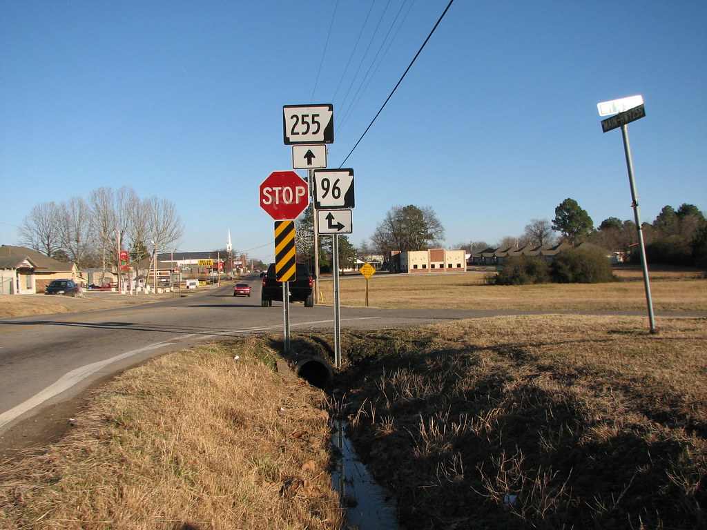
255 at 96
Cherokee Prairie
Across the Road
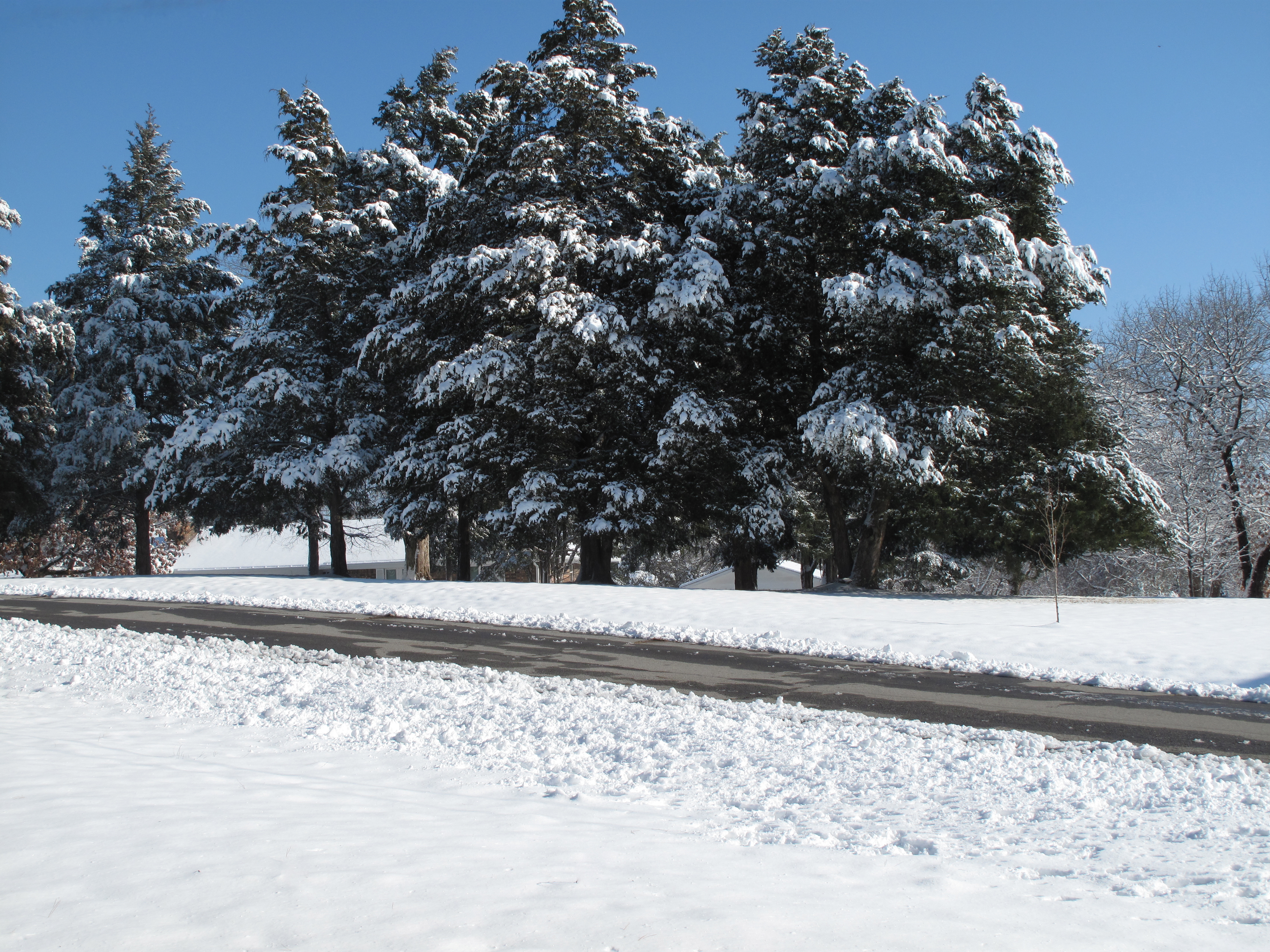
Snow Land
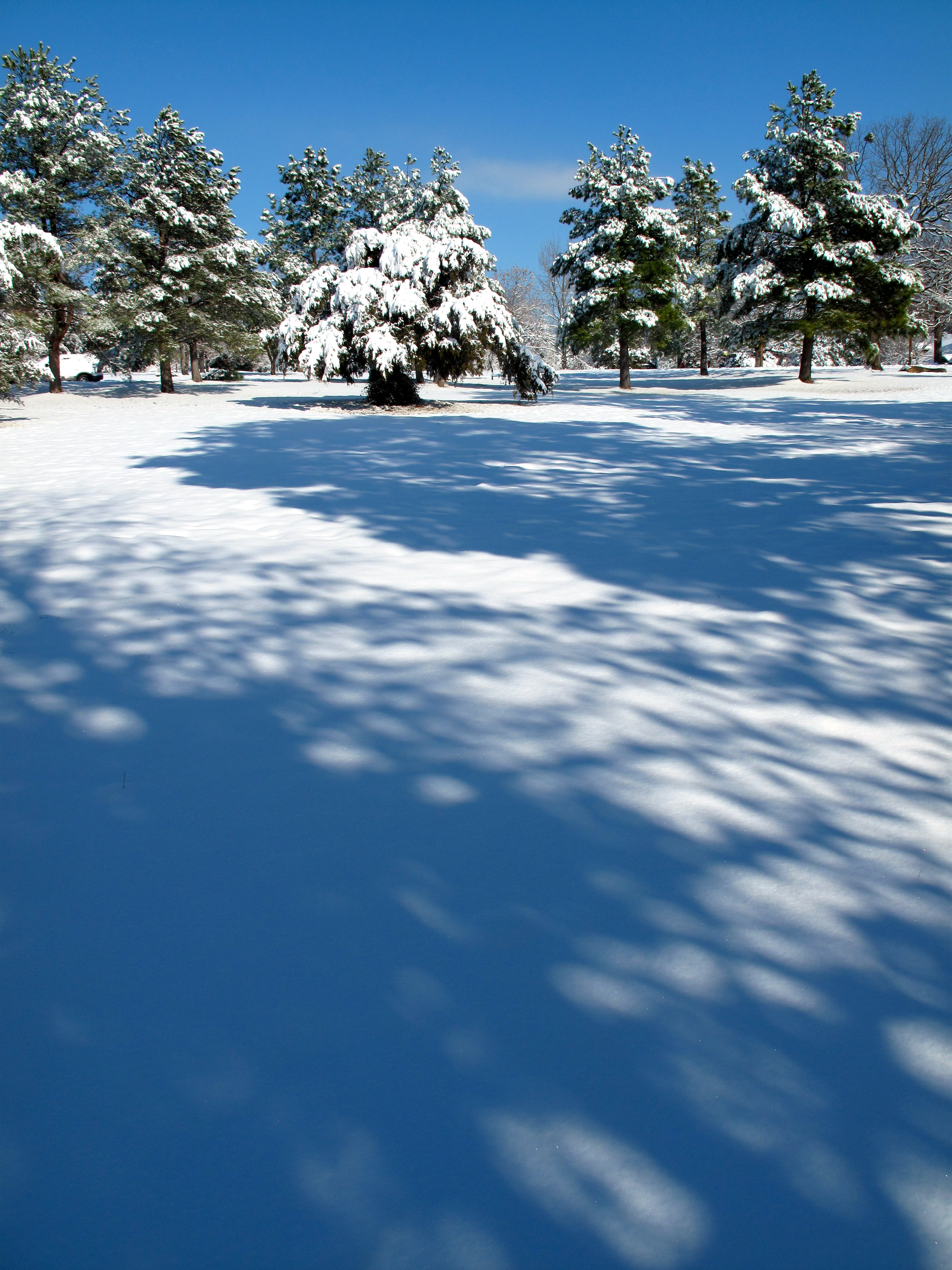
Snow Land 2
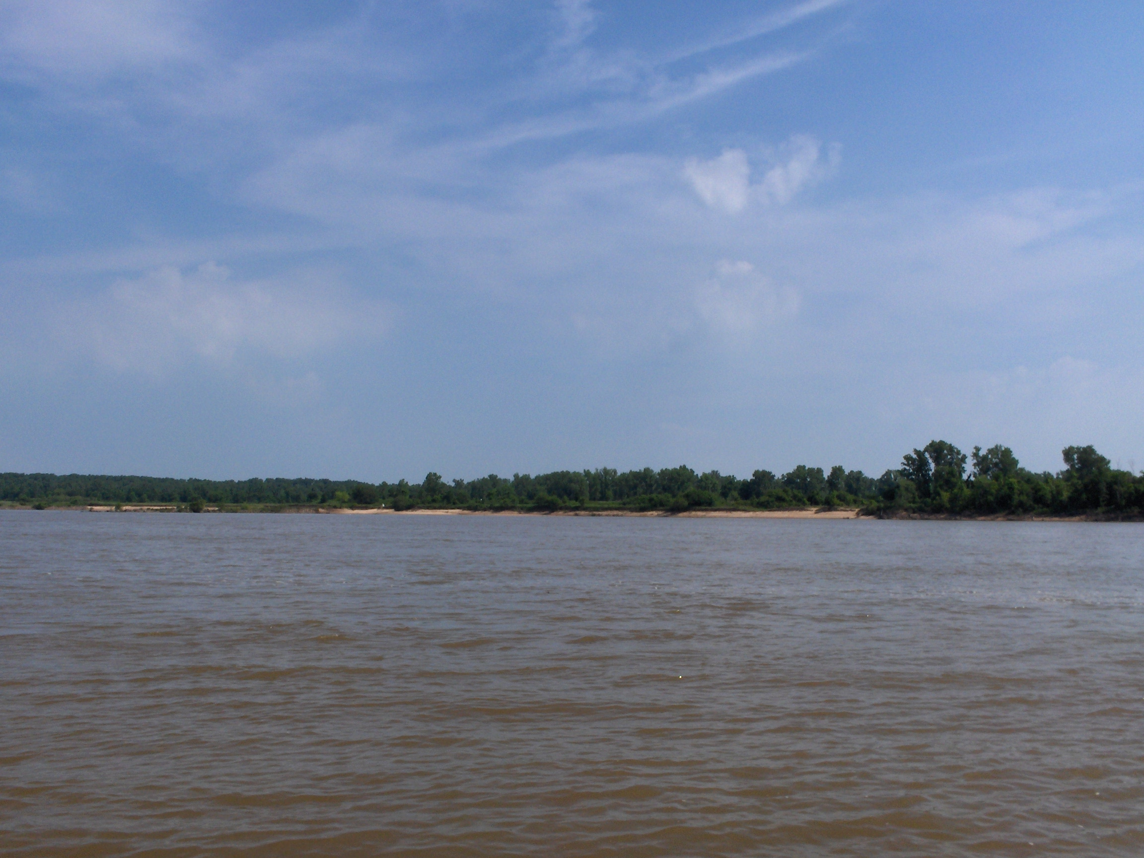
Arkansas River From my Camp Site
Topographic Map of Bloomer Township, AR, USA
Find elevation by address:

Places in Bloomer Township, AR, USA:
Places near Bloomer Township, AR, USA:
AR-22, Charleston, AR, USA
State Hwy, Charleston, AR, USA
Charleston
AR-, Charleston, AR, USA
4440 Spike Ridge Trail
Yoestown Rd, Alma, AR, USA
Hwy, Mansfield, AR, USA
Kibler Township
Greenwood, AR, USA
AR-10, Greenwood, AR, USA
Old Hwy 10, Greenwood, AR, USA
2303 Rattlesnake Canyon Rd
AR-, Greenwood, AR, USA
Washburn Township
Branch
2214 Mantooth Rd
Dyer Township
Hurricane Township
Washington, Alma, AR, USA
Dyer
Recent Searches:
- Elevation of Corso Fratelli Cairoli, 35, Macerata MC, Italy
- Elevation of Tallevast Rd, Sarasota, FL, USA
- Elevation of 4th St E, Sonoma, CA, USA
- Elevation of Black Hollow Rd, Pennsdale, PA, USA
- Elevation of Oakland Ave, Williamsport, PA, USA
- Elevation of Pedrógão Grande, Portugal
- Elevation of Klee Dr, Martinsburg, WV, USA
- Elevation of Via Roma, Pieranica CR, Italy
- Elevation of Tavkvetili Mountain, Georgia
- Elevation of Hartfords Bluff Cir, Mt Pleasant, SC, USA