Elevation of State Hwy, Burkesville, KY, USA
Location: United States > Kentucky > Cumberland County > Burkesville >
Longitude: -85.395093
Latitude: 36.6835113
Elevation: 321m / 1053feet
Barometric Pressure: 98KPa
Elevation Map:
Satellite Map:
Related Photos:

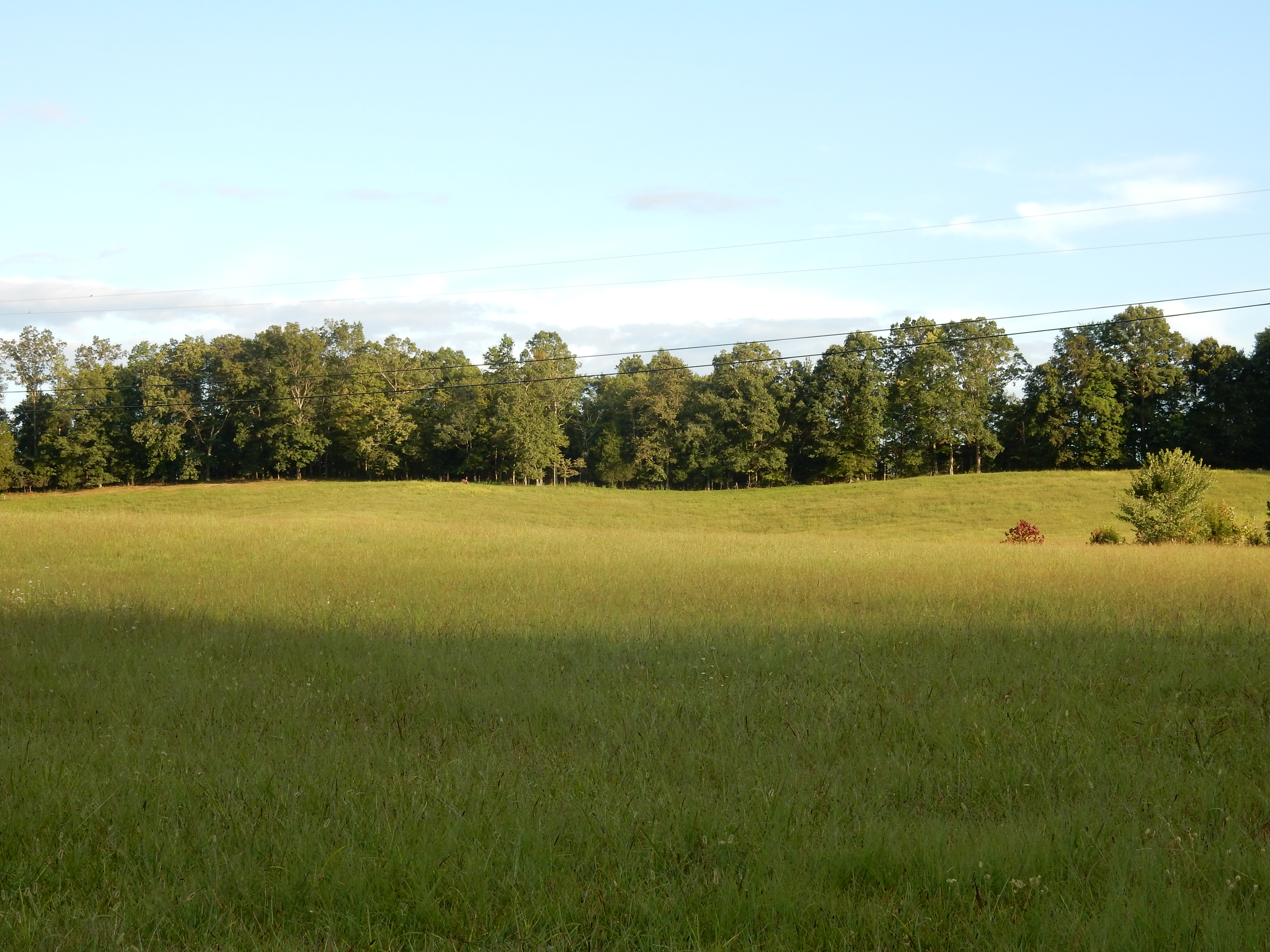
Cold morning view
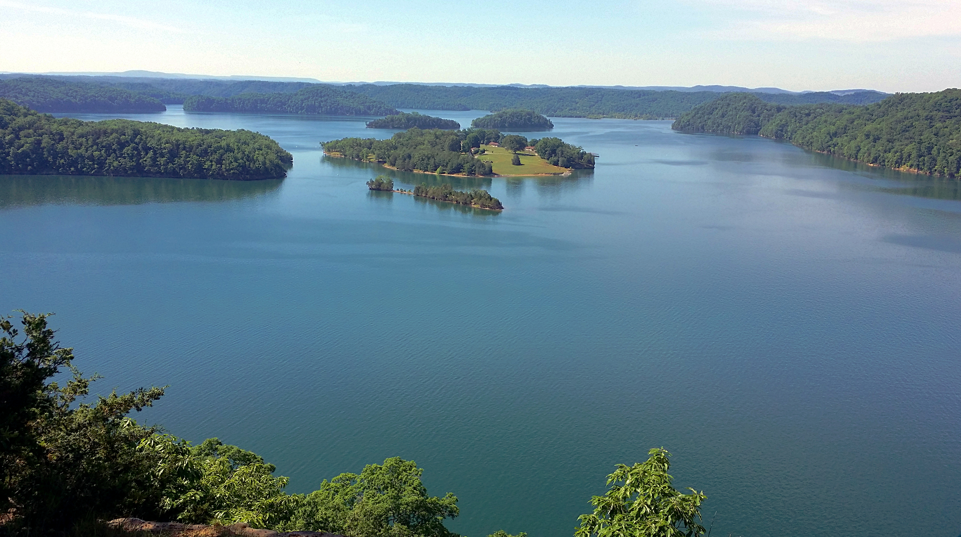
View from Eagle's Nest
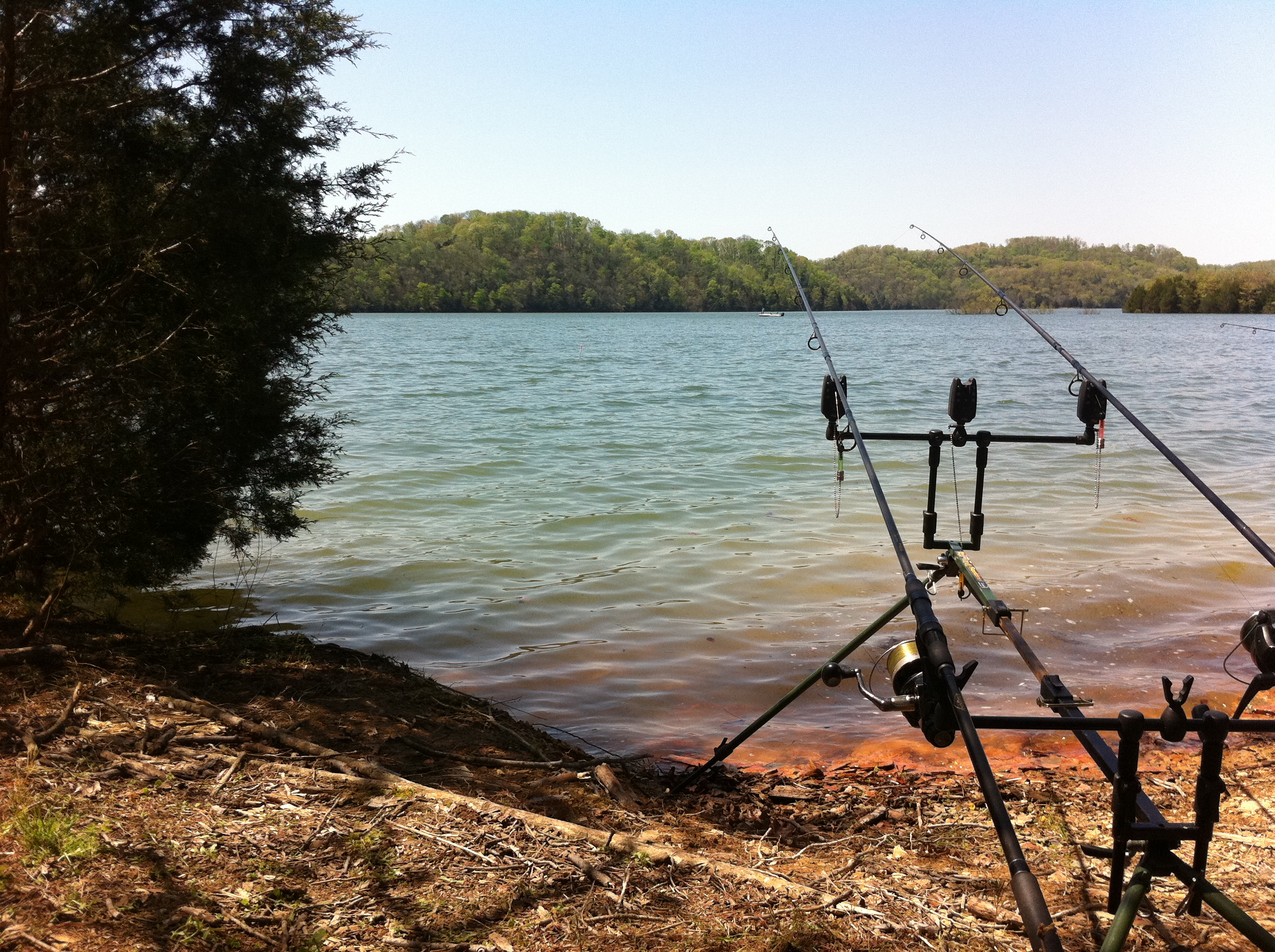
Brad's rods with a PVC marker we made in the gap between the pod & bush #fb
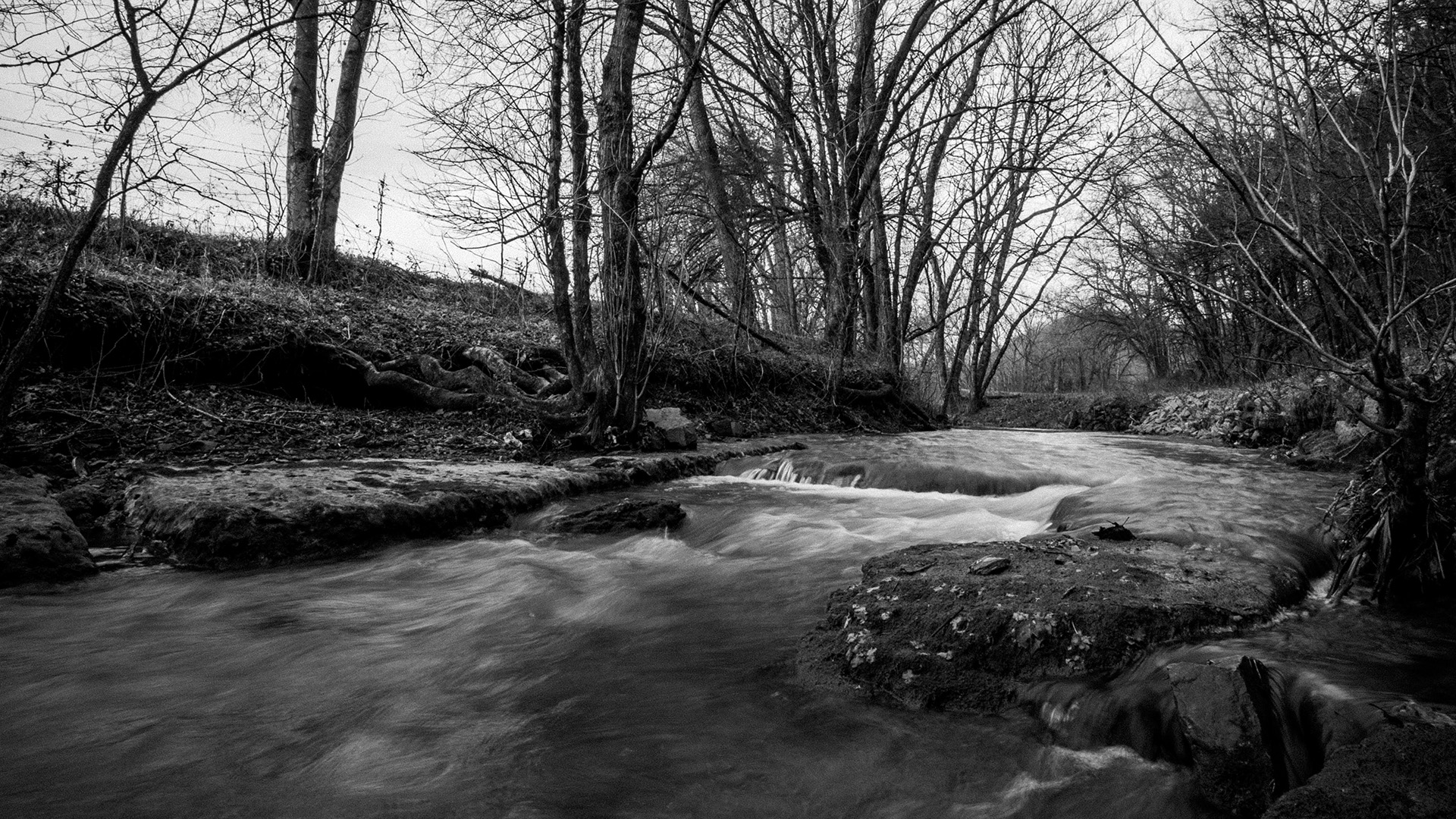
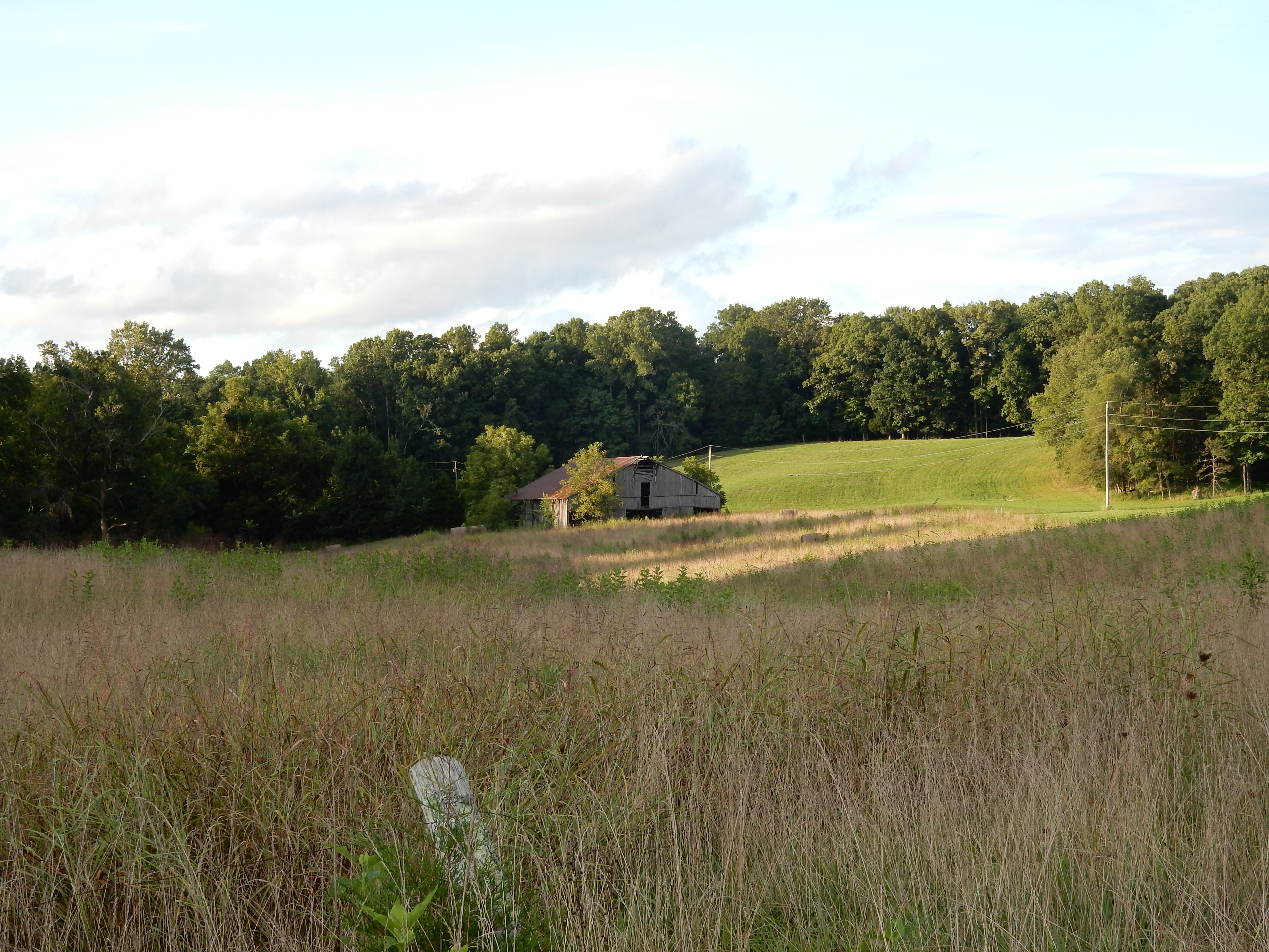
Pitcock Branch creek - 01

Pitcock Branch creek - 02
1-DSC05762

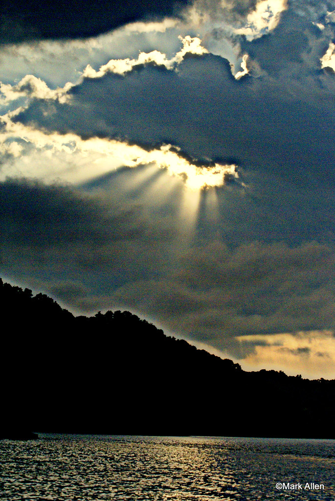
Dale Hollow Lake Sunrise
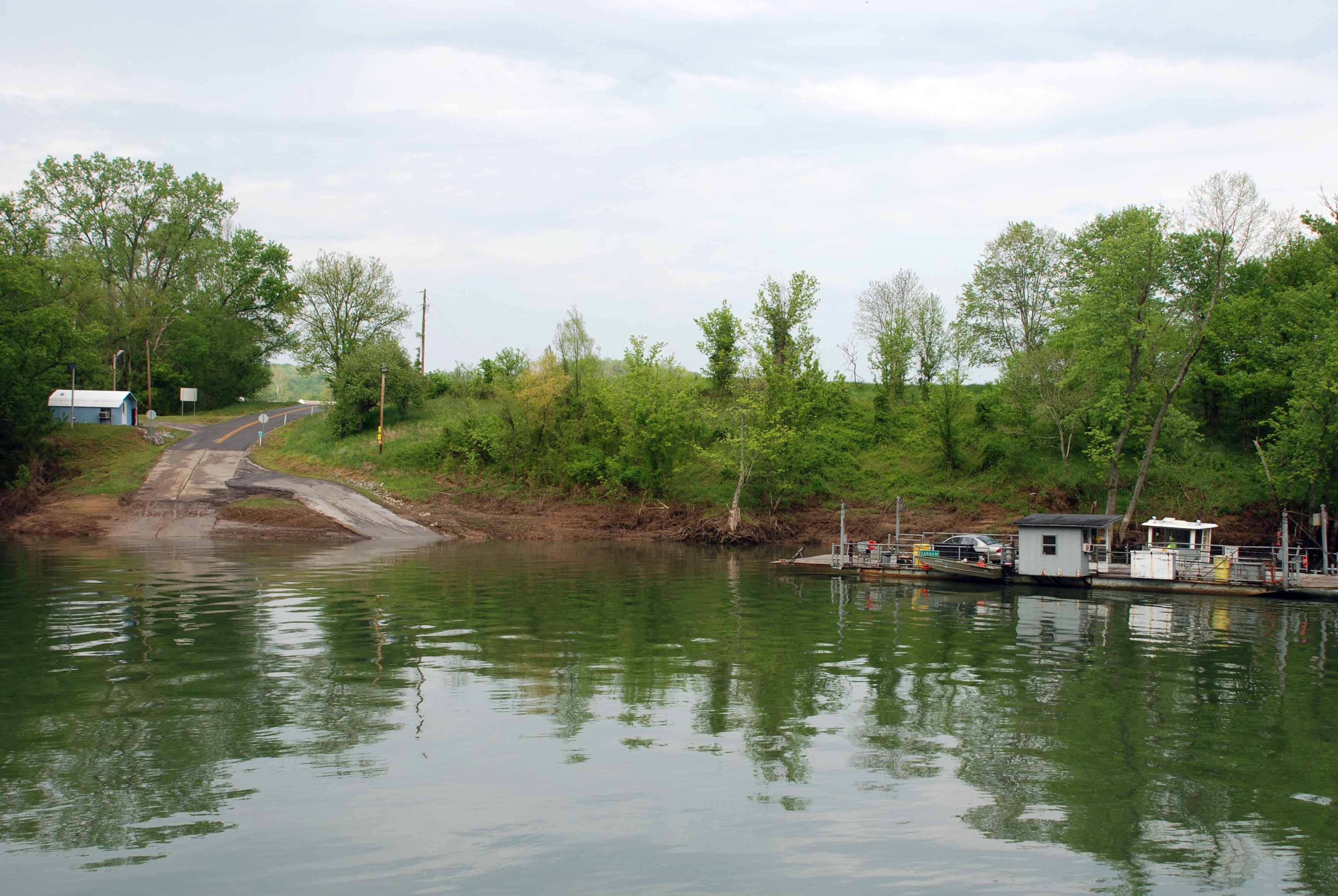
Turkey Neck Bend Ferry
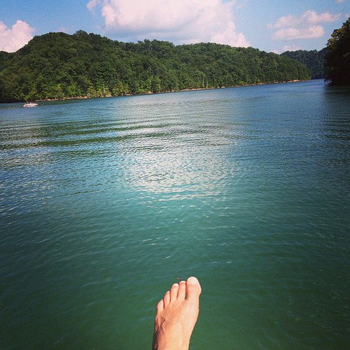
Kickin' back.

Hiking to Eagle's Nest
Vacation 2015 010

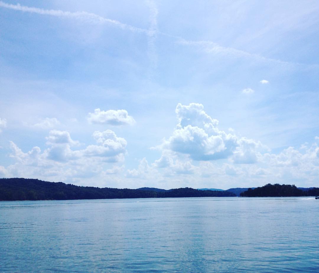
Dale Hollow Lake
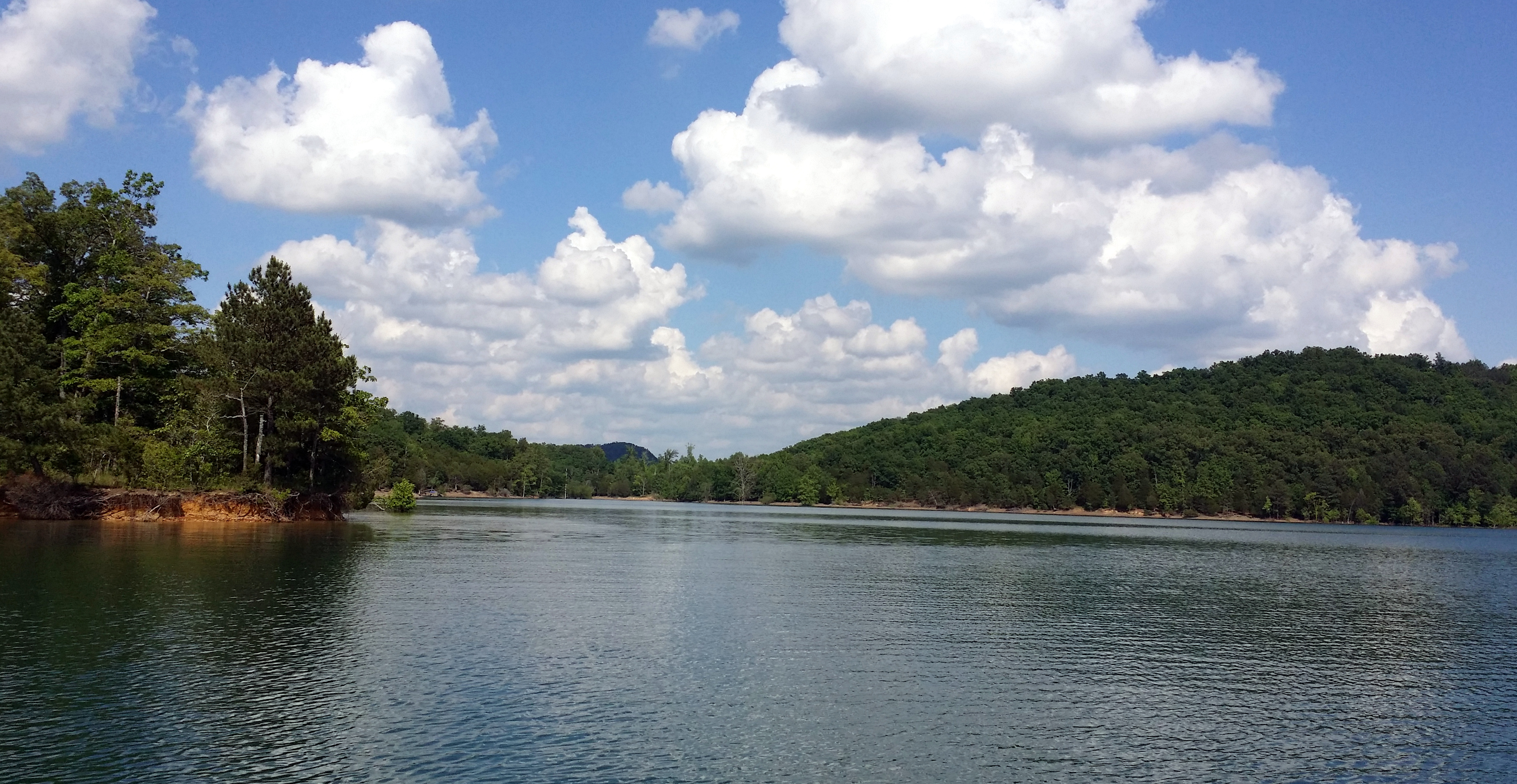
Dale Hollow Lake

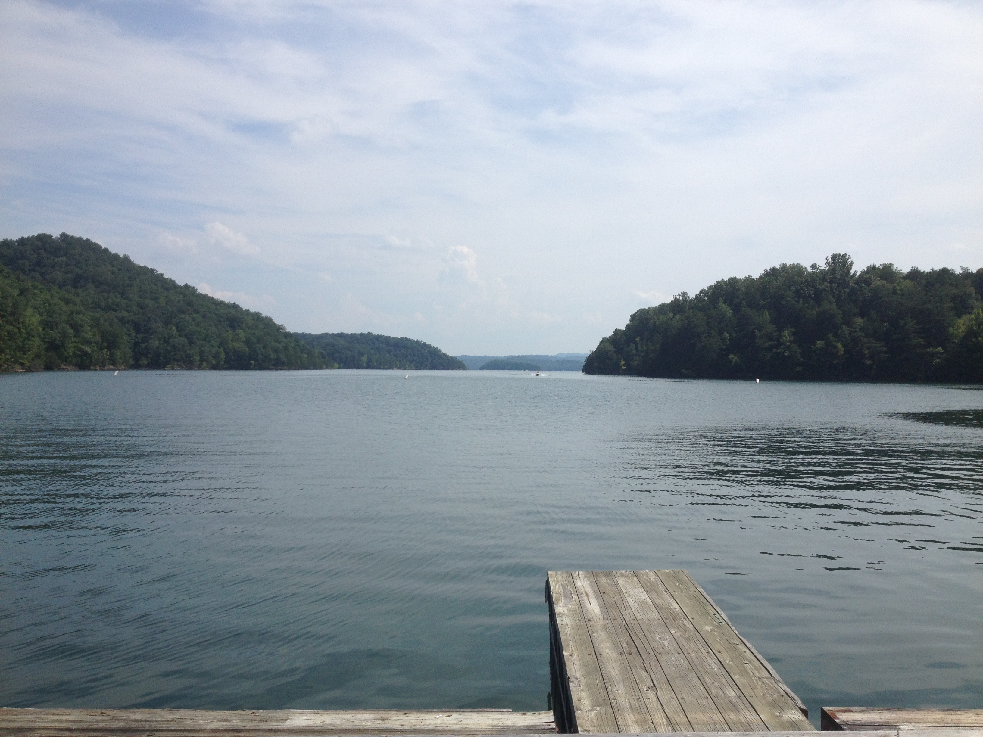
Boat Ramp
Vacation 2015 011
What a beautiful place #imonaboat #dalehallow
Amélie -
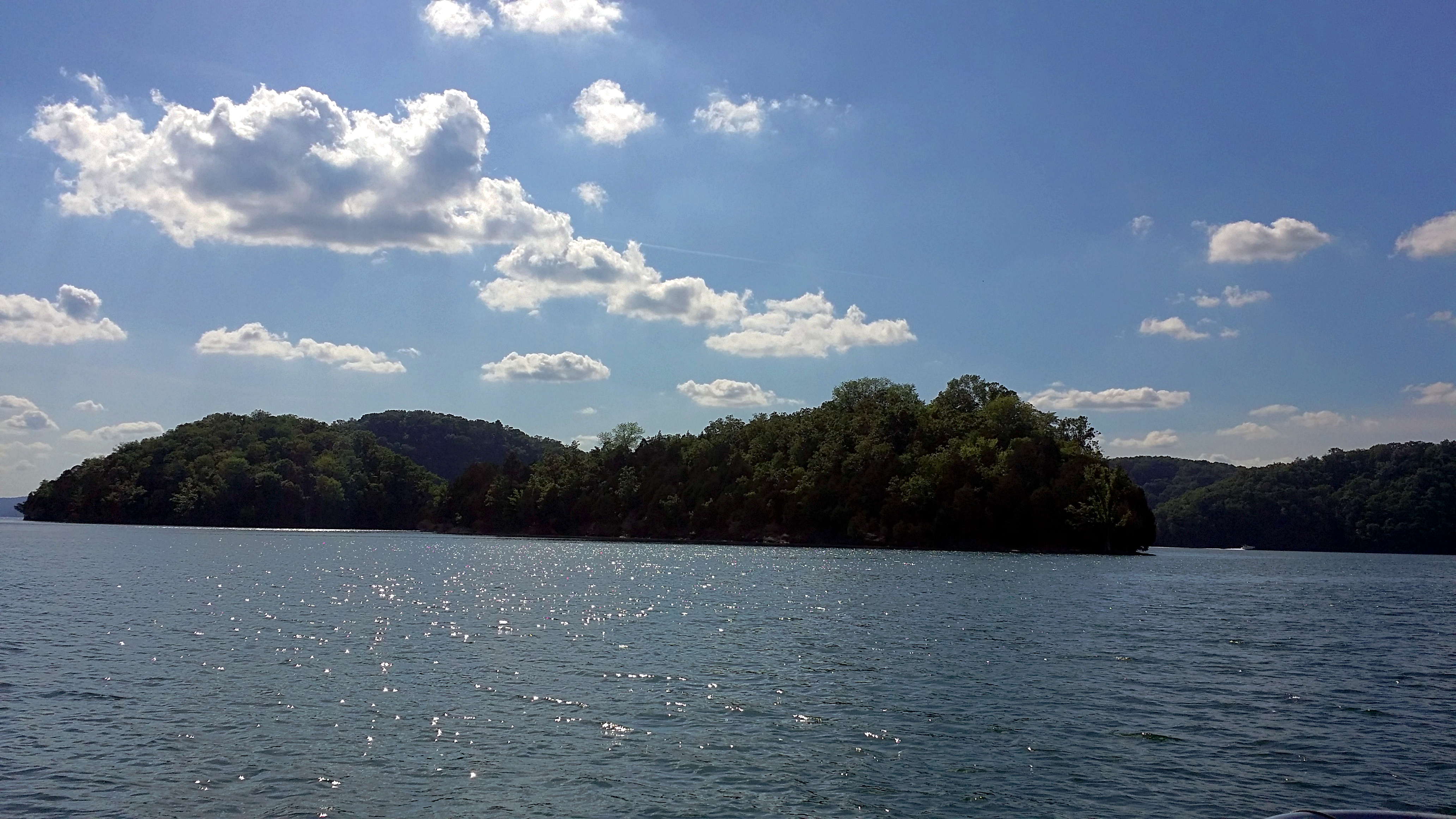
Dale Hollow Lake
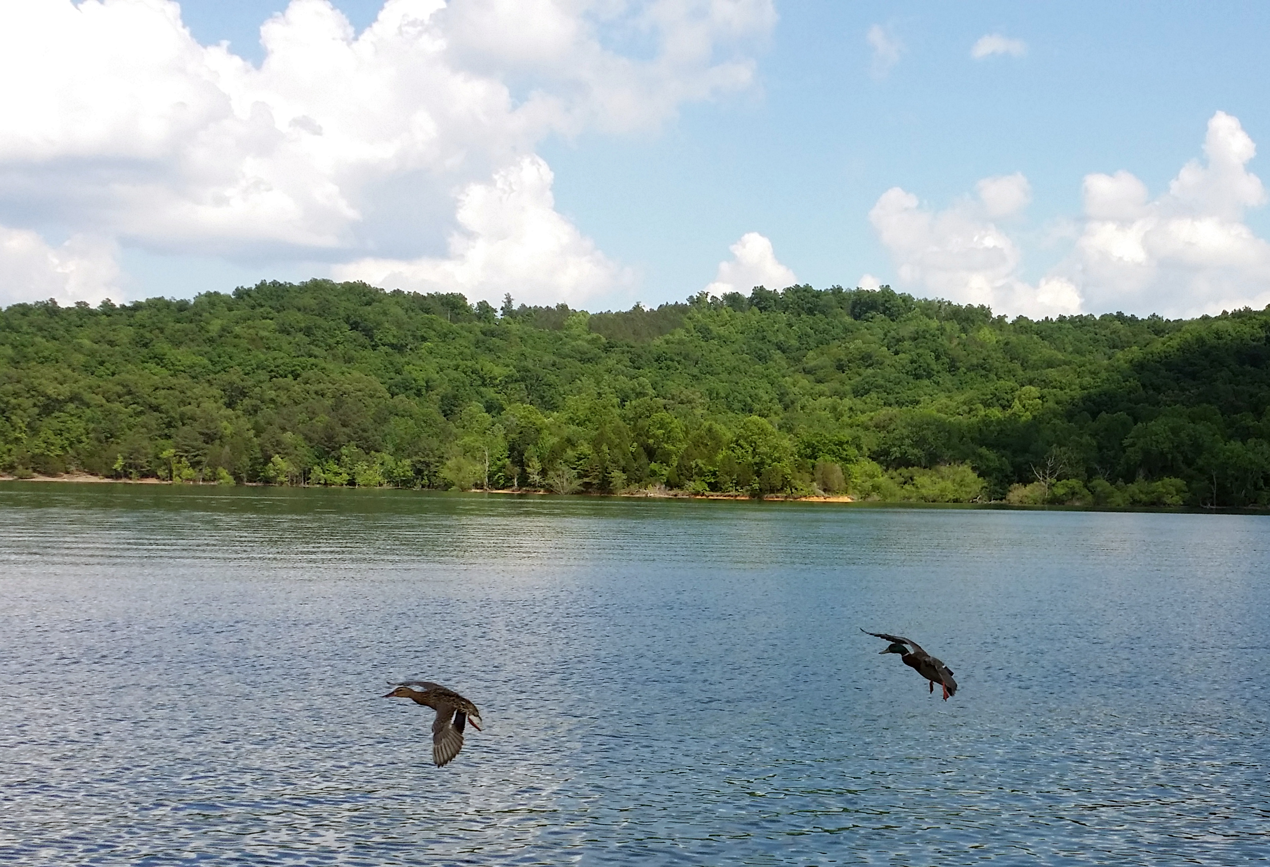
Ducks Following the Boat
Topographic Map of State Hwy, Burkesville, KY, USA
Find elevation by address:

Places near State Hwy, Burkesville, KY, USA:
Post Office Road
Guthrie Chapel Rd, Burkesville, KY, USA
Misty River Run Road
Misty River Run Road
Rock Springs Road
Holly Creek Road
471 Hegira Rd
Hegira Road
7360 Lillydale Rd
Wisdom Dock Rd, Albany, KY, USA
Charlie Melton Road
275 Amonett Ridge
114 Falcon Dr
2372 Hogback Rd
120 Trickling Water
595 Earl East Thrasher Rd
Wolf River Dock Rd, Albany, KY, USA
State Hwy, Albany, KY, USA
Clinton County
Albany
Recent Searches:
- Elevation of Leguwa, Nepal
- Elevation of County Rd, Enterprise, AL, USA
- Elevation of Kolchuginsky District, Vladimir Oblast, Russia
- Elevation of Shustino, Vladimir Oblast, Russia
- Elevation of Lampiasi St, Sarasota, FL, USA
- Elevation of Elwyn Dr, Roanoke Rapids, NC, USA
- Elevation of Congressional Dr, Stevensville, MD, USA
- Elevation of Bellview Rd, McLean, VA, USA
- Elevation of Stage Island Rd, Chatham, MA, USA
- Elevation of Shibuya Scramble Crossing, 21 Udagawacho, Shibuya City, Tokyo -, Japan