Elevation of Hegira Rd, Burkesville, KY, USA
Location: United States > Kentucky > Cumberland County > Burkesville >
Longitude: -85.287137
Latitude: 36.7033687
Elevation: 318m / 1043feet
Barometric Pressure: 98KPa
Elevation Map:
Satellite Map:
Related Photos:

View Southwest from Island

Stormy Skies..

Dale Hollow Lake Sunrise
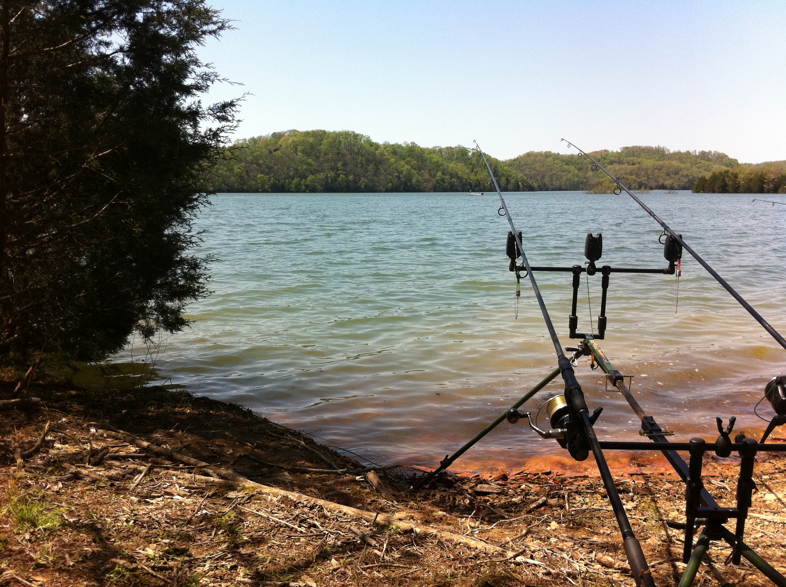
Brad's rods with a PVC marker we made in the gap between the pod & bush #fb

Dale Hollow Lake

Boat Ramp

Vacation 2015 010

Ducks Following the Boat

Hiking to Eagle's Nest

Amélie -

Dale Hollow Lake

Dale Hollow Lake
Topographic Map of Hegira Rd, Burkesville, KY, USA
Find elevation by address:

Places near Hegira Rd, Burkesville, KY, USA:
Hegira Road
Wisdom Dock Rd, Albany, KY, USA
2372 Hogback Rd
Post Office Road
595 Earl East Thrasher Rd
7360 Lillydale Rd
114 Falcon Dr
Guthrie Chapel Rd, Burkesville, KY, USA
275 Amonett Ridge
State Hwy, Burkesville, KY, USA
Wolf River Dock Rd, Albany, KY, USA
State Hwy, Albany, KY, USA
120 Trickling Water
Charlie Melton Road
Clinton County
Misty River Run Road
Misty River Run Road
Albany
Rock Springs Road
918 Rainbow Dr
Recent Searches:
- Elevation of Leyte Industrial Development Estate, Isabel, Leyte, Philippines
- Elevation of W Granada St, Tampa, FL, USA
- Elevation of Pykes Down, Ivybridge PL21 0BY, UK
- Elevation of Jalan Senandin, Lutong, Miri, Sarawak, Malaysia
- Elevation of Bilohirs'k
- Elevation of 30 Oak Lawn Dr, Barkhamsted, CT, USA
- Elevation of Luther Road, Luther Rd, Auburn, CA, USA
- Elevation of Unnamed Road, Respublika Severnaya Osetiya — Alaniya, Russia
- Elevation of Verkhny Fiagdon, North Ossetia–Alania Republic, Russia
- Elevation of F. Viola Hiway, San Rafael, Bulacan, Philippines