Elevation of State Hwy B, Canton, MO, USA
Location: United States > Missouri > Lewis County > Canton Township > Canton >
Longitude: -91.519735
Latitude: 40.1123199
Elevation: 160m / 525feet
Barometric Pressure: 99KPa
Elevation Map:
Satellite Map:
Related Photos:
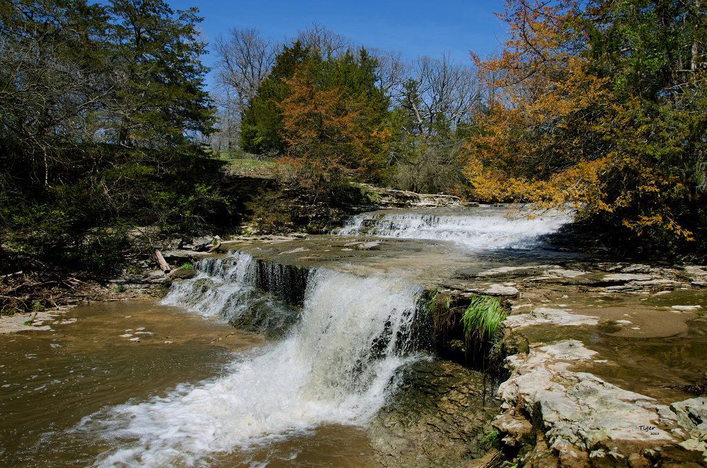
Rock Creek (Explored)
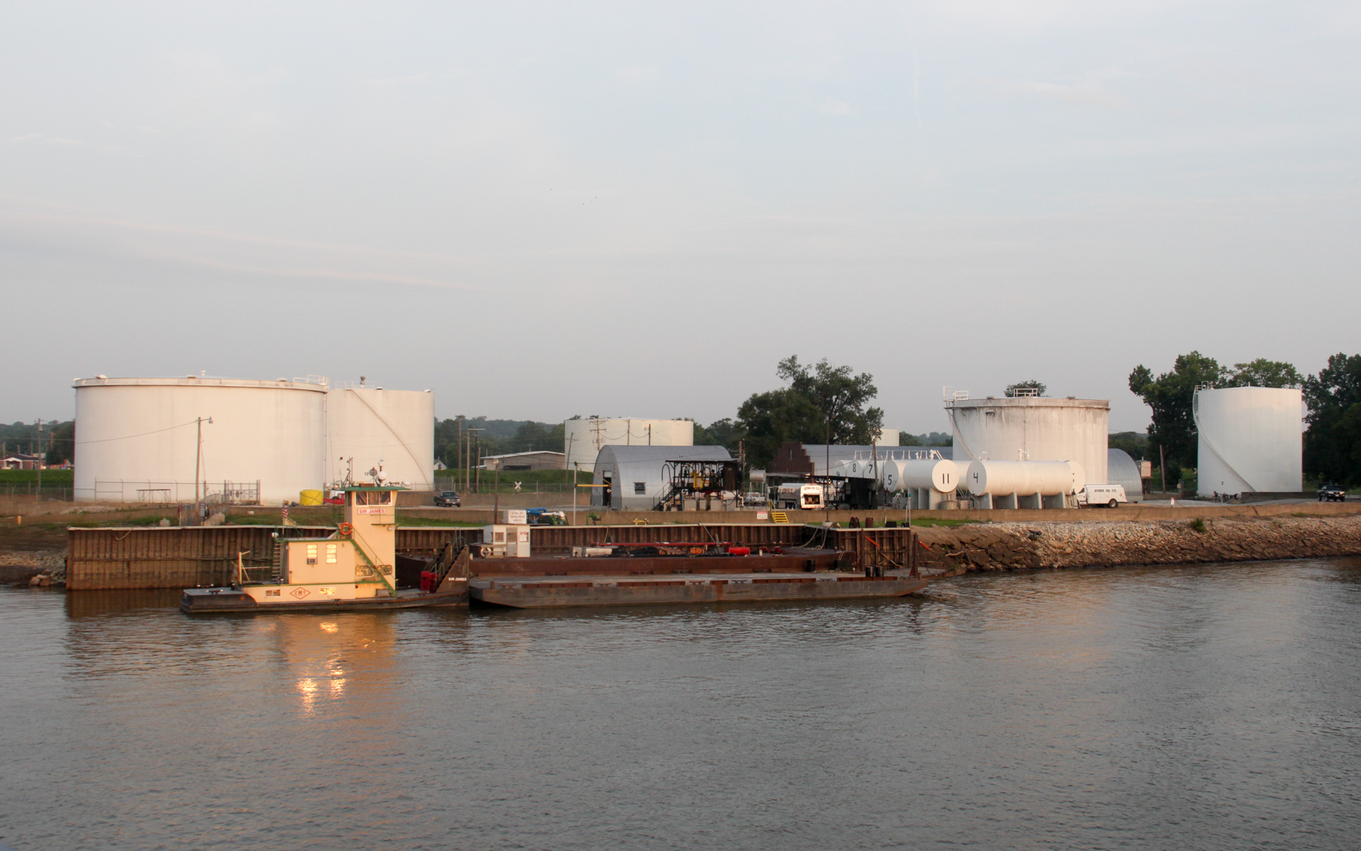
Ayers Oil Company Depot
Post Office 63435 (Canton, Missouri)
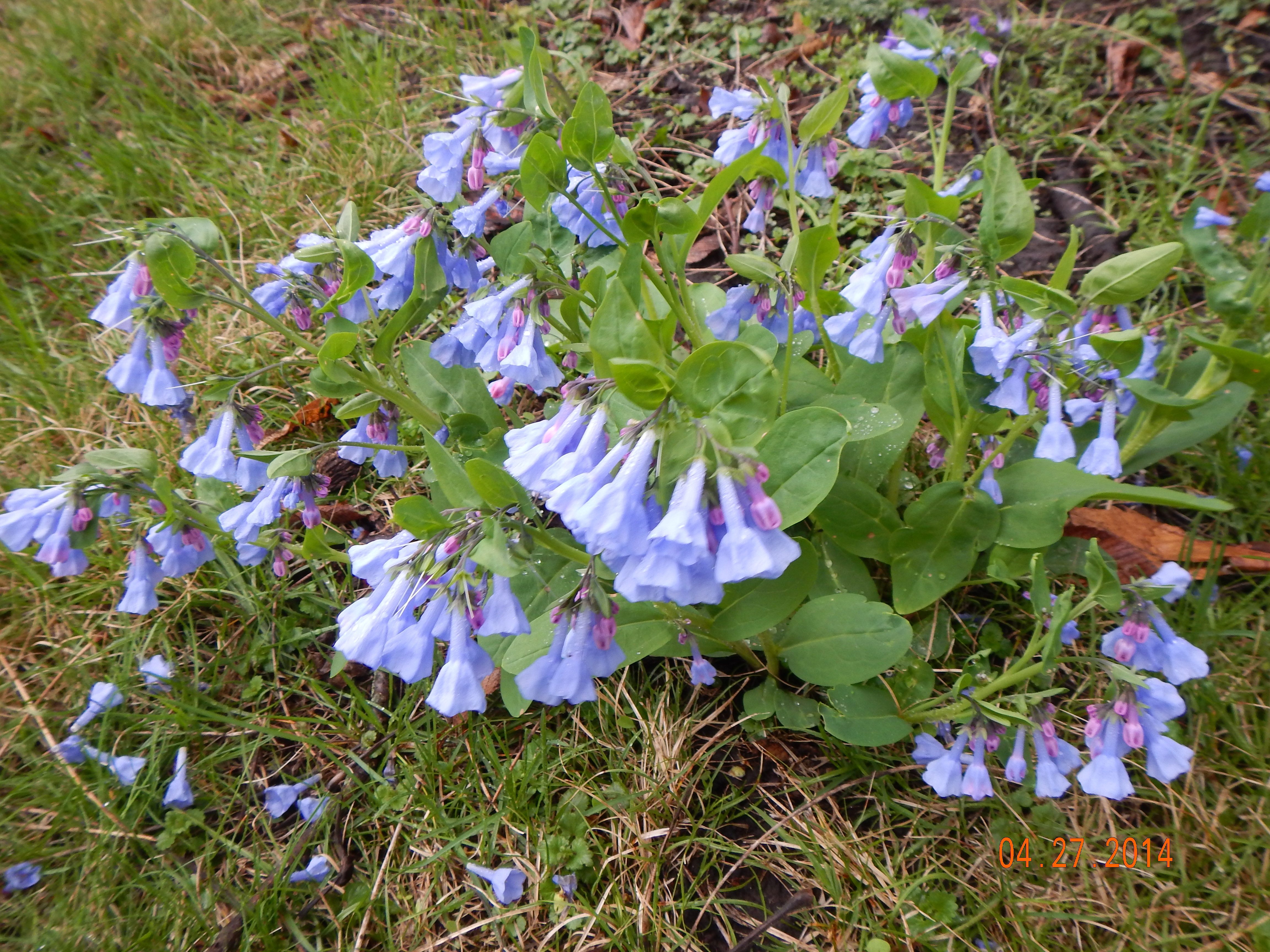
Bluebells (Boraginaceae: Mertensia virginica)

Simple Pleasures

Sun in the Trees
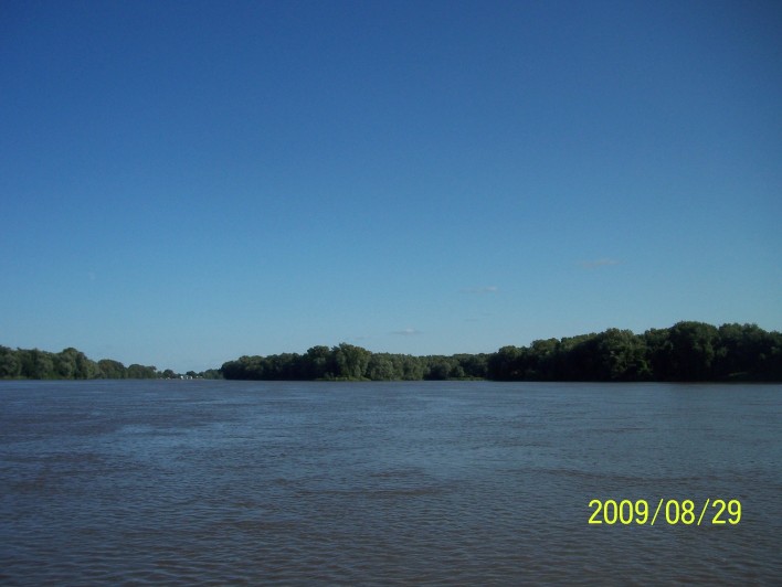
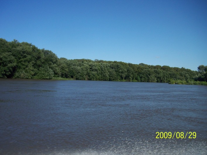
200908291709-100_9034

Post oak tree
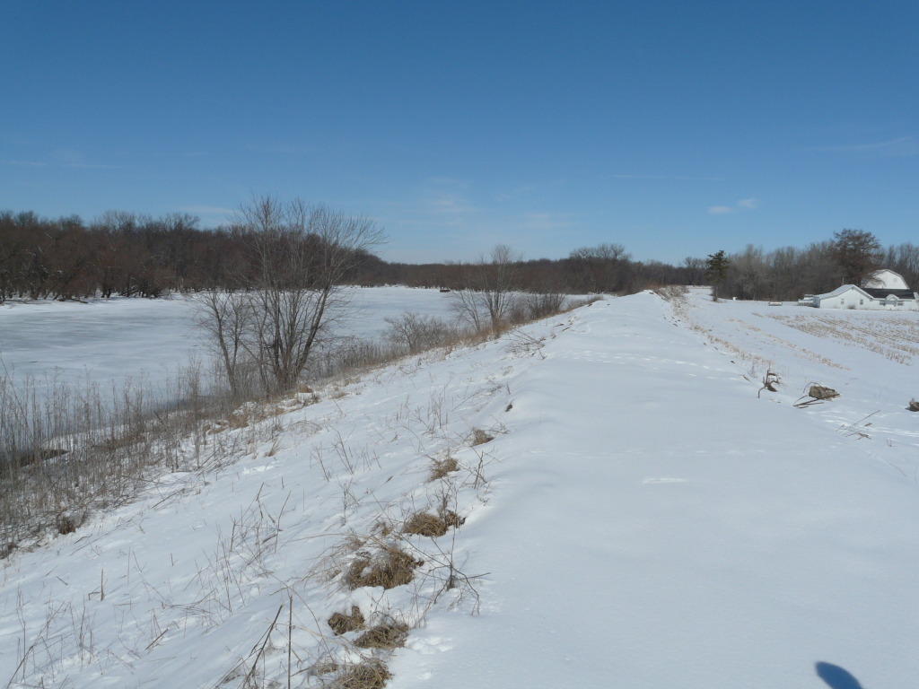
201002271149-P1050189
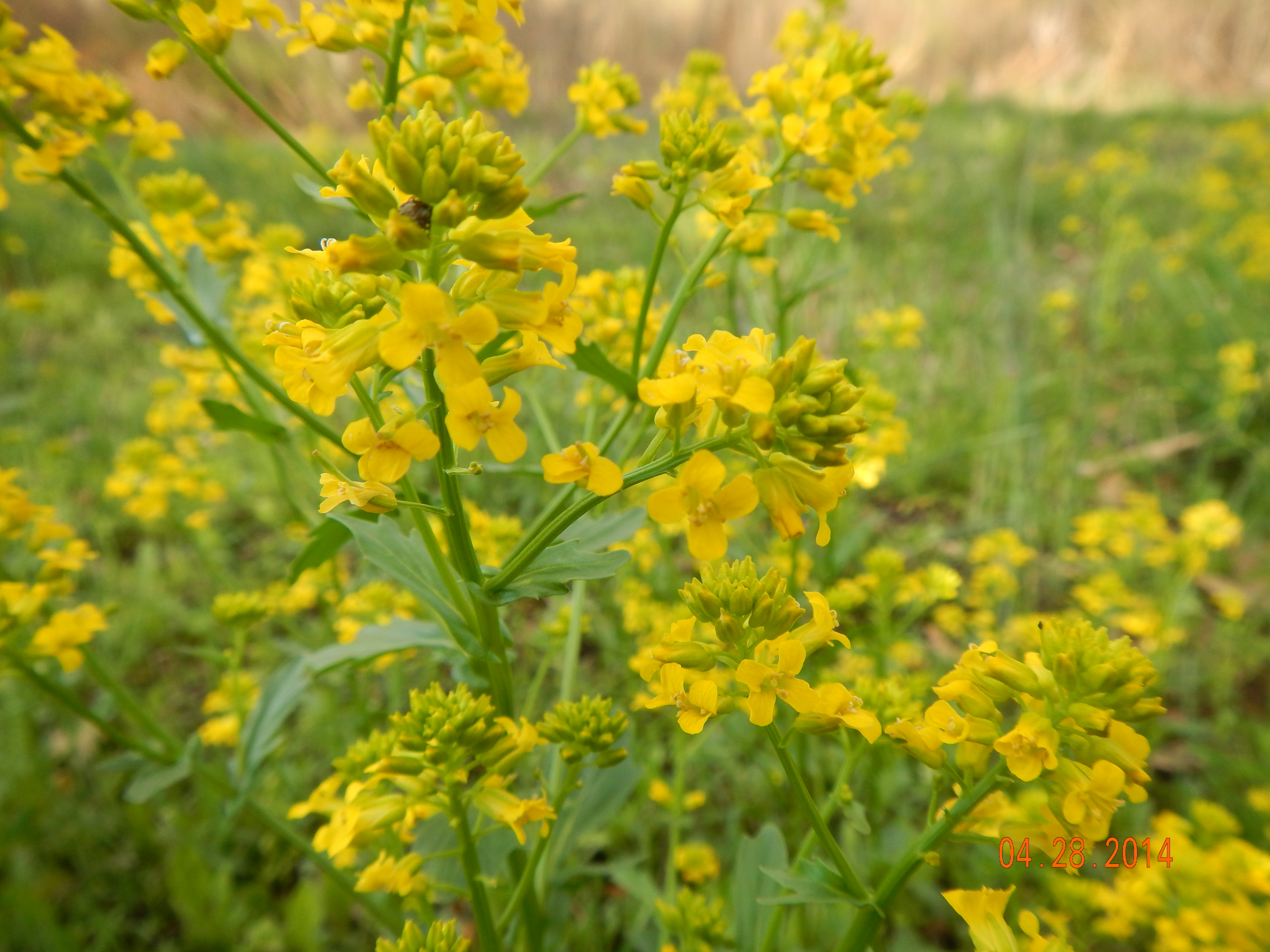
Yellow rocket (Brassicaceae: Barbarea vulgaris)
200908291638-100_9022
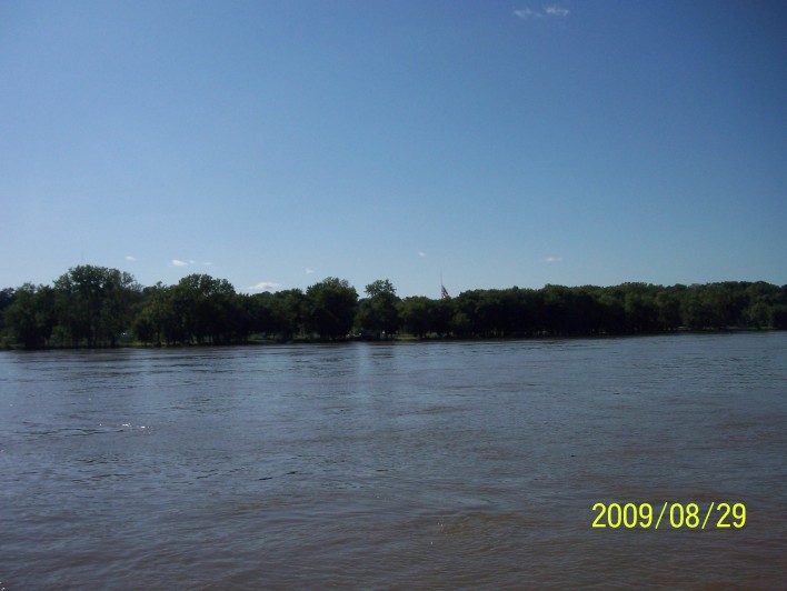
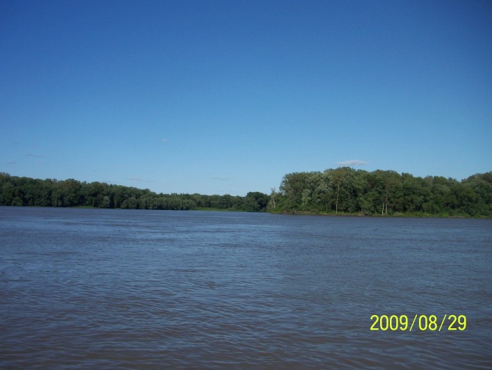
200908291709-100_9033
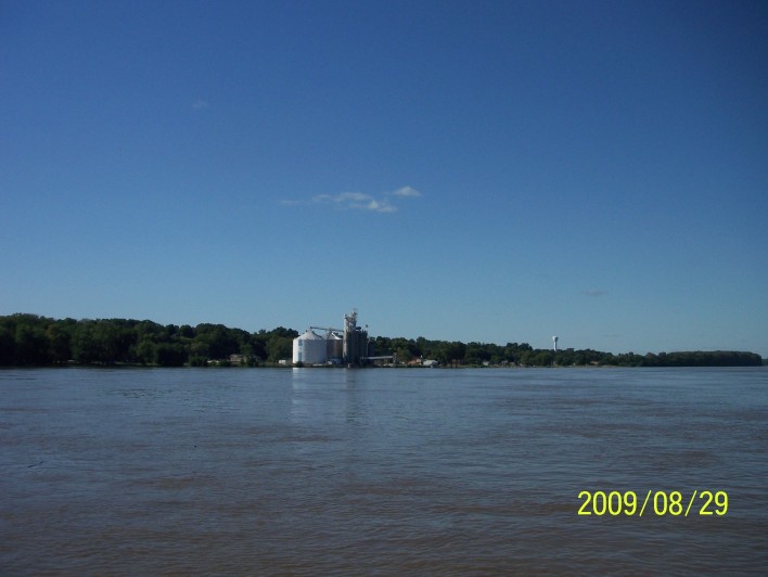
200908291700-100_9028

Sunrise over the Slough between Dillon Island and Island #419
200908291638-100_9021
200908291345-100_8985

Wakonda State Park Camping Trip
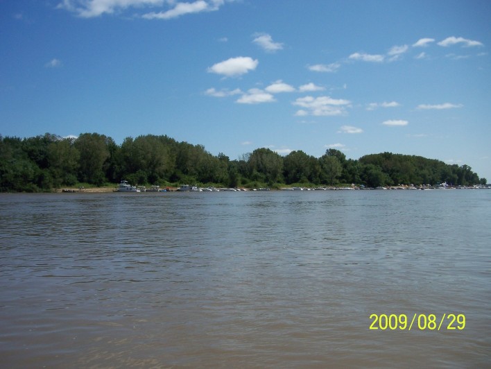
200908291701-100_9031
200908291639-100_9023

Wakonda State Park Camping Trip
200908291351-100_8987
Topographic Map of State Hwy B, Canton, MO, USA
Find elevation by address:

Places near State Hwy B, Canton, MO, USA:
407 N 15th St
19481 State Hwy B
19481 State Hwy B
19481 State Hwy B
Canton
505 N 15th St
505 N 15th St
407 N 15th St
41 N th Ave, Warsaw, IL, USA
32309 147th St
Canton Township
Ursa Township
Lima Township
Union Township
Riverside Township
336 Spring Lake Dr
Maywood
Quincy Bay
State Hwy CC, Ewing, MO, USA
Co Rd, Lewistown, MO, USA
Recent Searches:
- Elevation of Erika Dr, Windsor, CA, USA
- Elevation of Village Ln, Finleyville, PA, USA
- Elevation of 24 Oakland Rd #, Scotland, ON N0E 1R0, Canada
- Elevation of Deep Gap Farm Rd E, Mill Spring, NC, USA
- Elevation of Dog Leg Dr, Minden, NV, USA
- Elevation of Dog Leg Dr, Minden, NV, USA
- Elevation of Kambingan Sa Pansol Atbp., Purok 7 Pansol, Candaba, Pampanga, Philippines
- Elevation of Pinewood Dr, New Bern, NC, USA
- Elevation of Mountain View, CA, USA
- Elevation of Foligno, Province of Perugia, Italy