Elevation of th St, Canton, MO, USA
Location: United States > Missouri > Lewis County > Canton Township > Canton >
Longitude: -91.527949
Latitude: 40.1780911
Elevation: 180m / 591feet
Barometric Pressure: 99KPa
Elevation Map:
Satellite Map:
Related Photos:

Simple Pleasures
Post Office 63435 (Canton, Missouri)

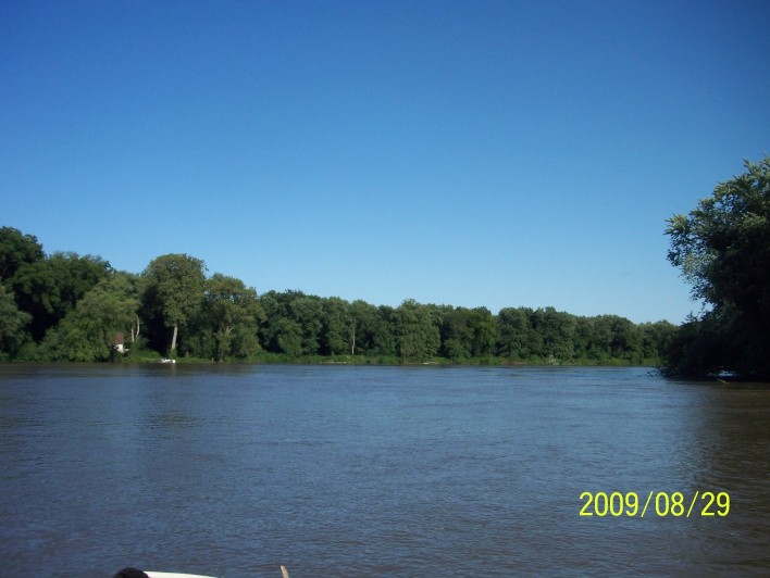
Sun in the Trees
200908291709-100_9034
201002271149-P1050189
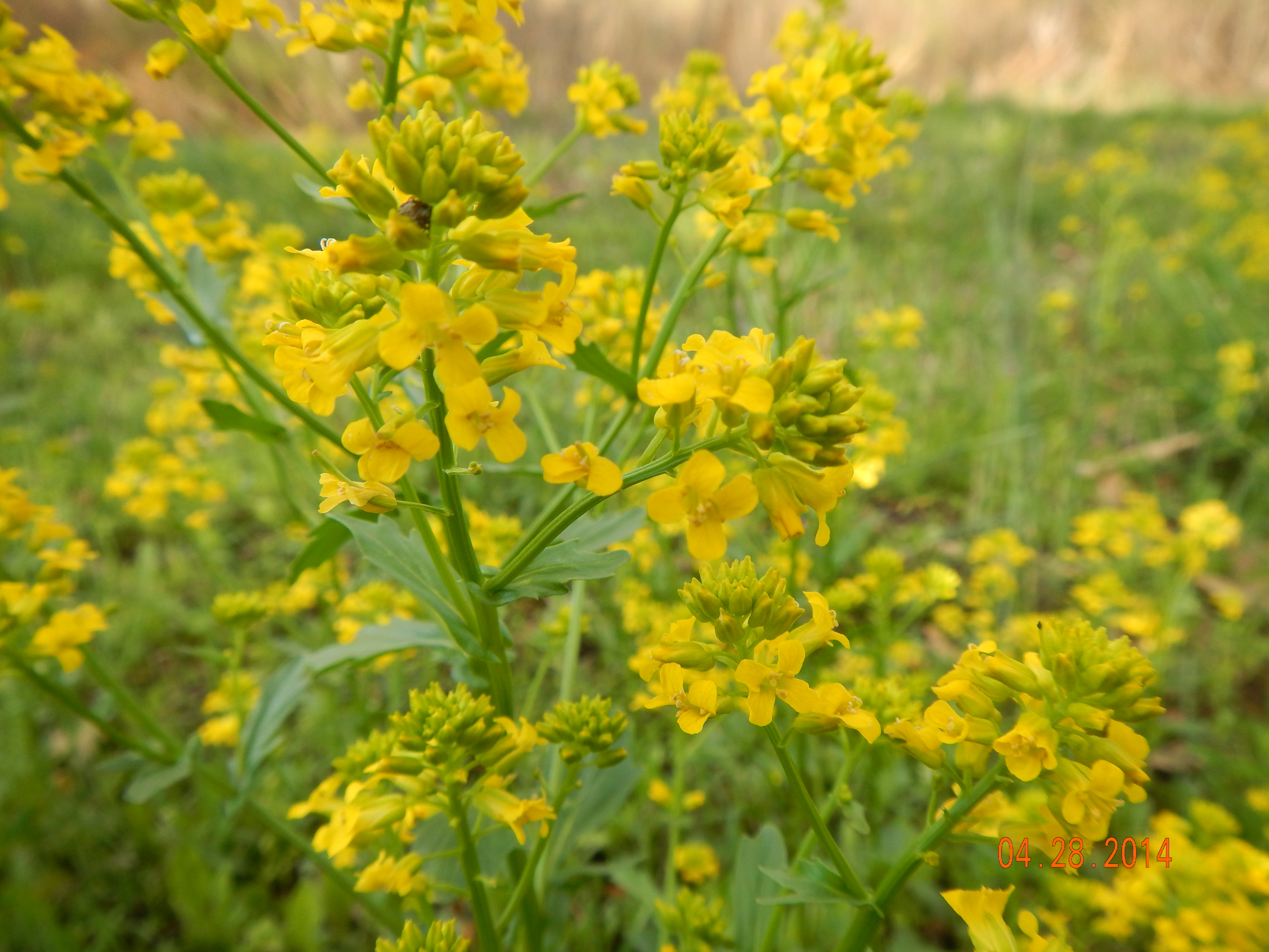
Yellow rocket (Brassicaceae: Barbarea vulgaris)
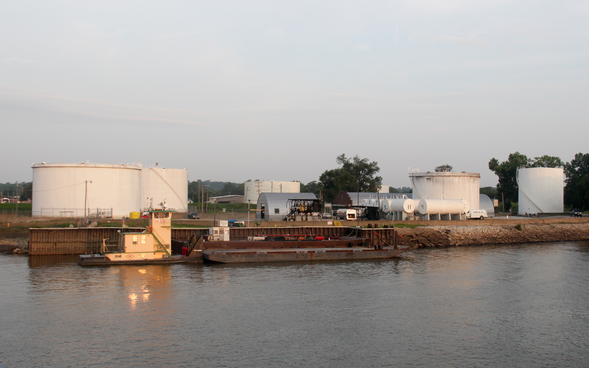
Ayers Oil Company Depot
200908291700-100_9028

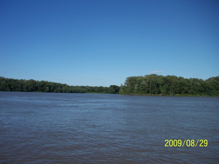
Sunrise over the Slough between Dillon Island and Island #419
200908291701-100_9031
200908291709-100_9033
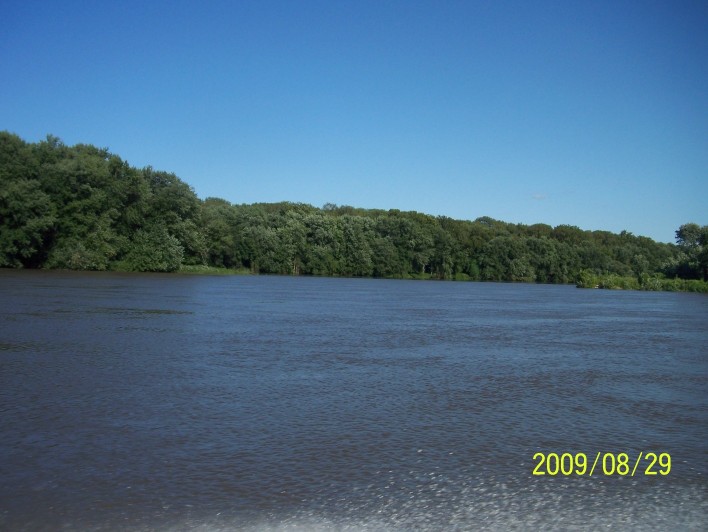
Sunrise in Gregory

We Pass the "Samual B. Richmond" Again
200908291700-100_9030
200908291650-100_9026
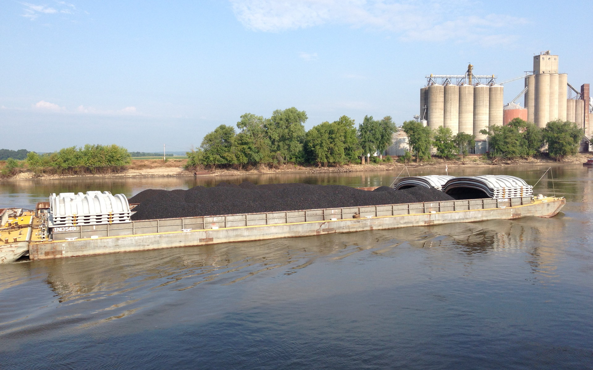
Coal Headed Upriver
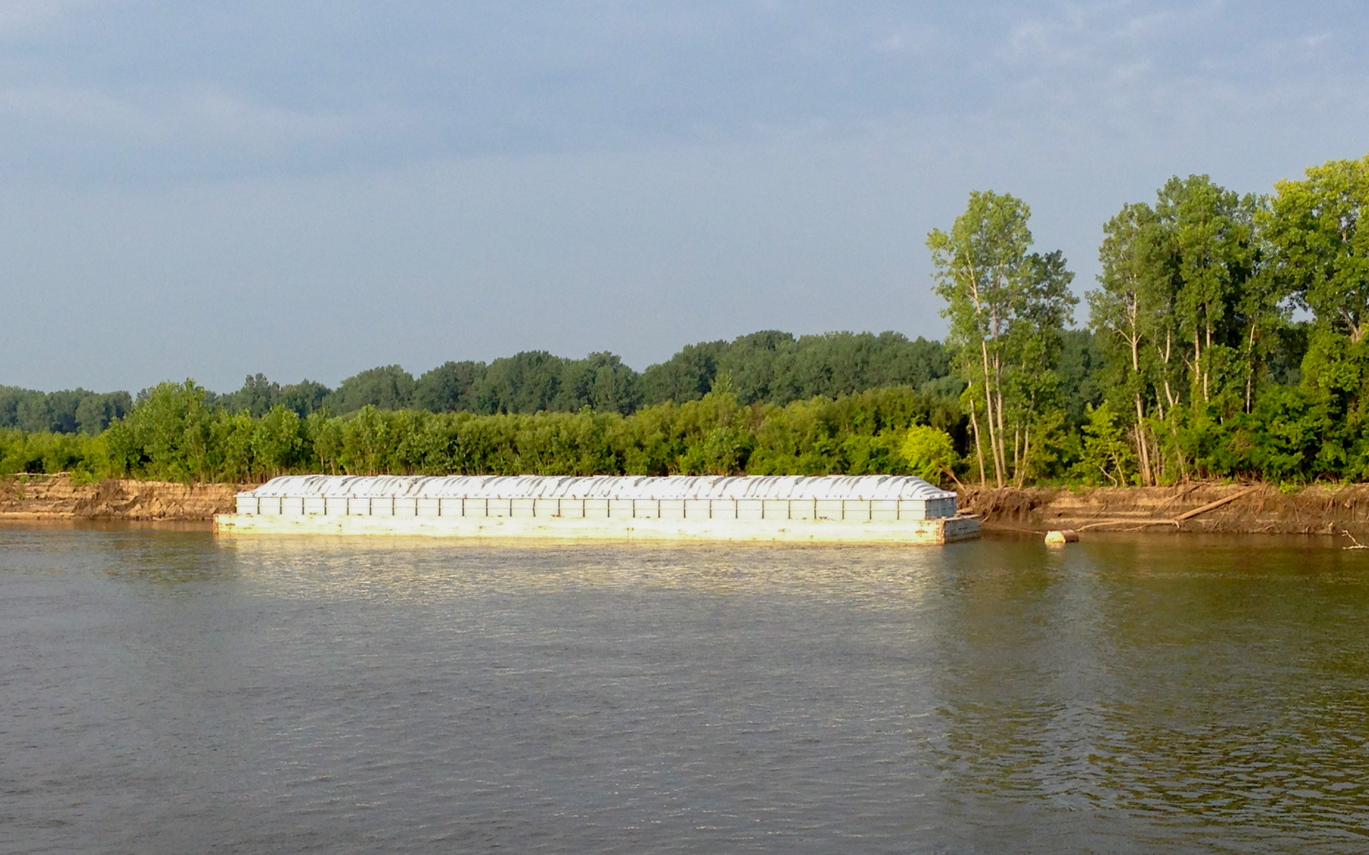
Parked Barge

Bluebells (Boraginaceae: Mertensia virginica)
Topographic Map of th St, Canton, MO, USA
Find elevation by address:

Places near th St, Canton, MO, USA:
Canton Township
41 N th Ave, Warsaw, IL, USA
407 N 15th St
505 N 15th St
505 N 15th St
Canton
407 N 15th St
19481 State Hwy B
19481 State Hwy B
19481 State Hwy B
19481 State Hwy B
Lima Township
Ursa Township
State Hwy H, Canton, MO, USA
Union Township
1380 Water St
1380 Water St
Jackson Township
Water Street
Warsaw Township
Recent Searches:
- Elevation of Duckhorn Ct, Las Vegas, NV, USA
- Elevation of Garretts Run Rd, Ford City, PA, USA
- Elevation of N WI-55, Freedom, WI, USA
- Elevation map of Hadiya, Ethiopia
- Elevation of Hosaina, Ethiopia
- Elevation of Verde Terrace, North Port, FL, USA
- Elevation of US-, Leesburg, FL, USA
- Elevation of Summit Dr, Kerrville, TX, USA
- Elevation of Hanson Rd, Cedaredge, CO, USA
- Elevation of Maxine St NE, Albuquerque, NM, USA