Elevation of State Highway, State Hwy, Buckhorn, KY, USA
Location: United States > Kentucky > Buckhorn >
Longitude: -83.618962
Latitude: 37.4179619
Elevation: 283m / 928feet
Barometric Pressure: 98KPa
Elevation Map:
Satellite Map:
Related Photos:
Abandoned house back view

Owsley County Tobacco Barn
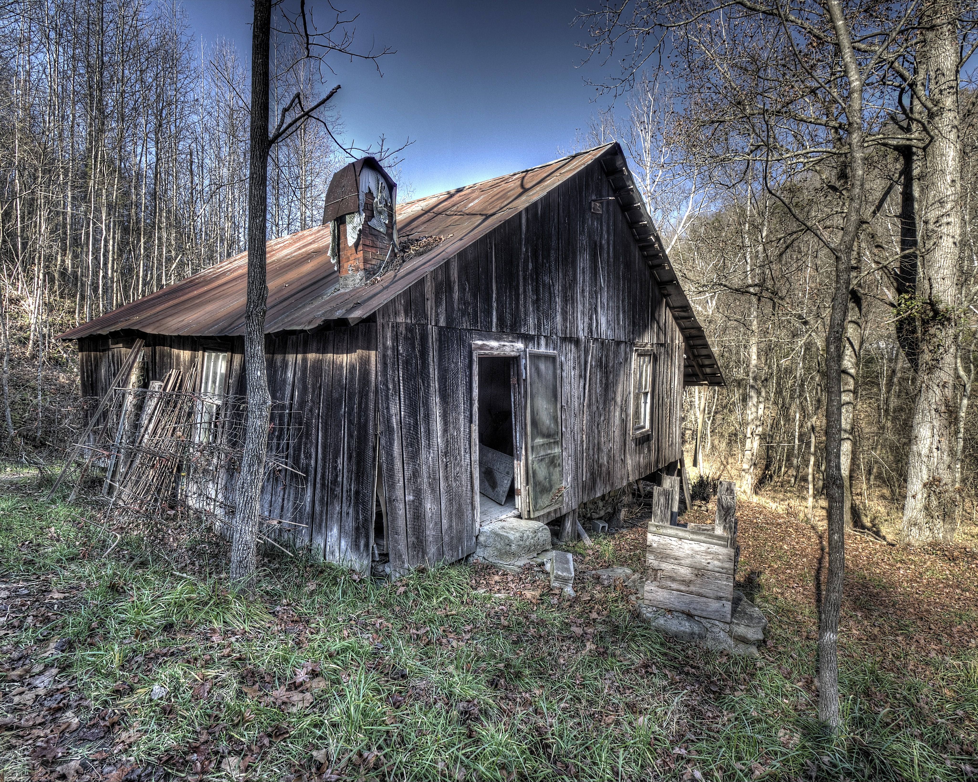
Abandoned house Turners Creek
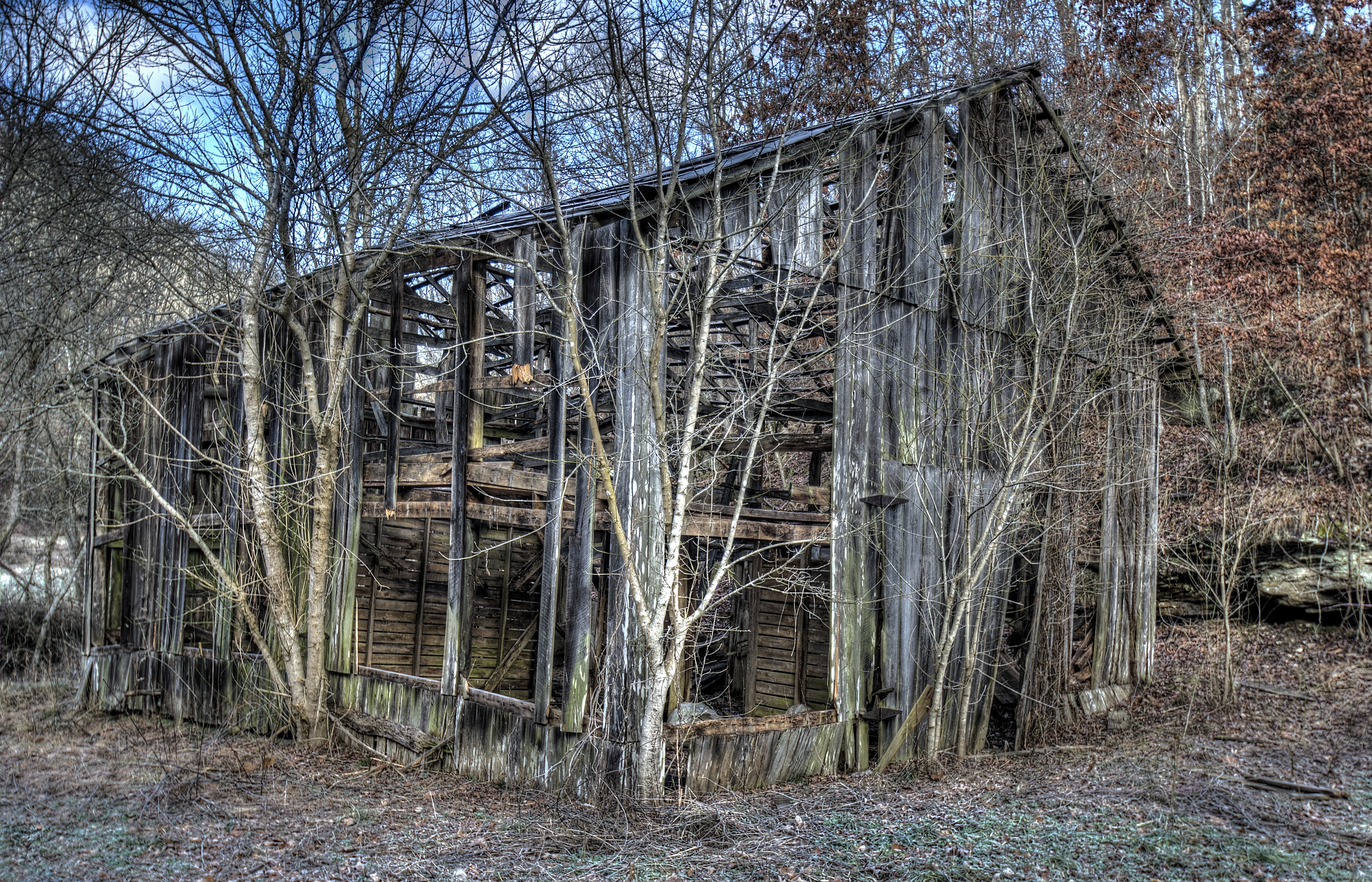
Turkey Creek Barn 3
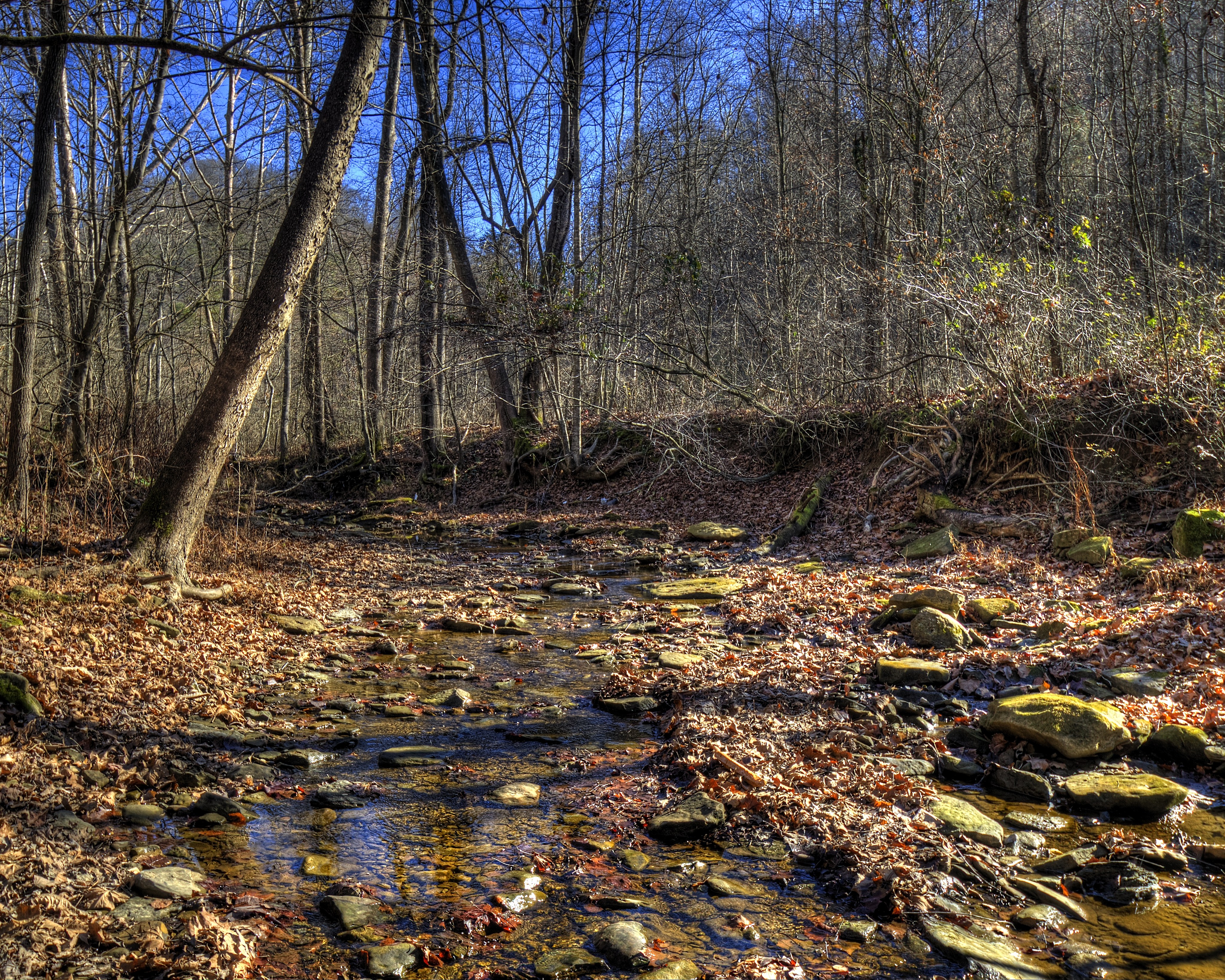
Turkey Creek
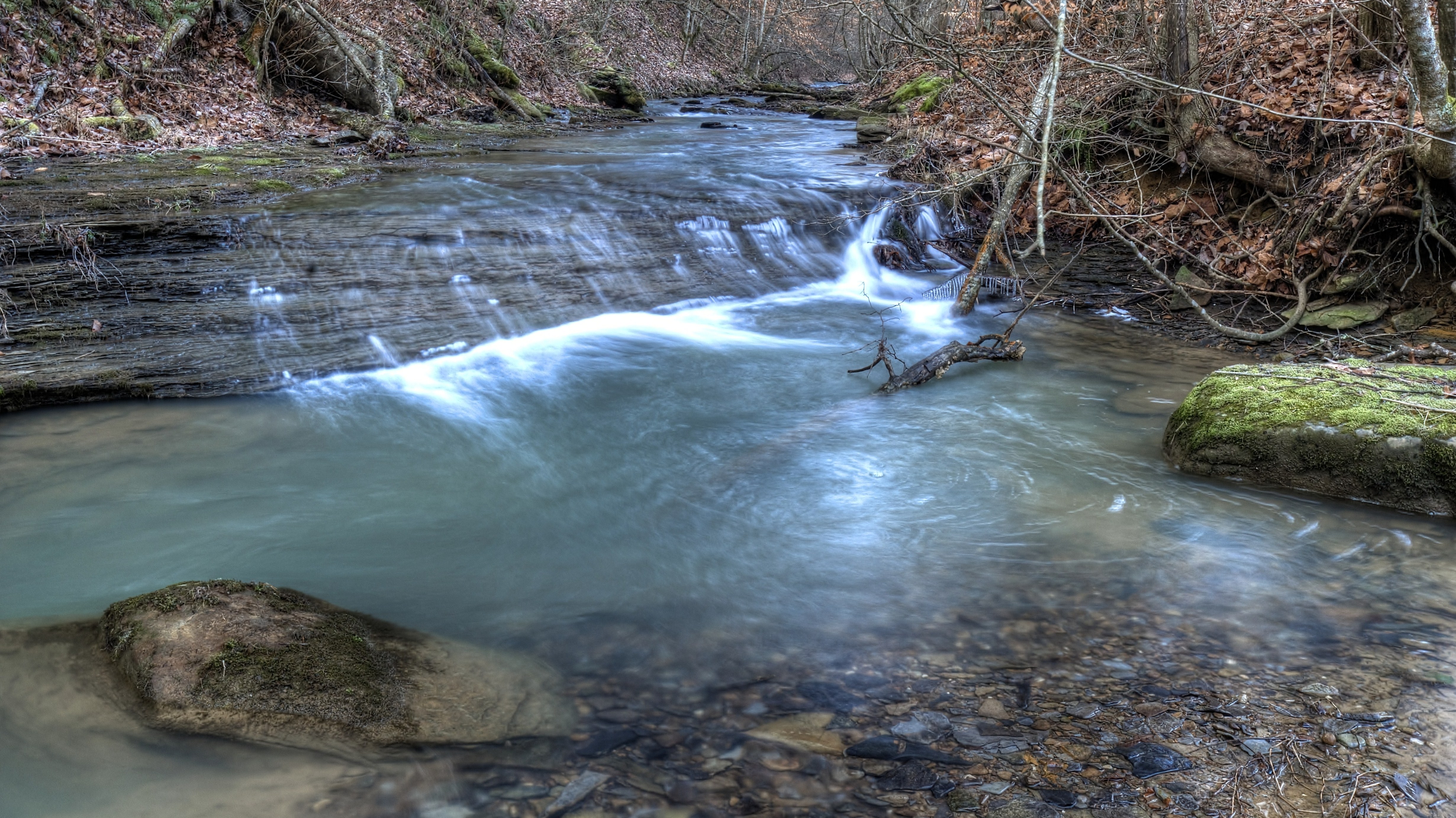
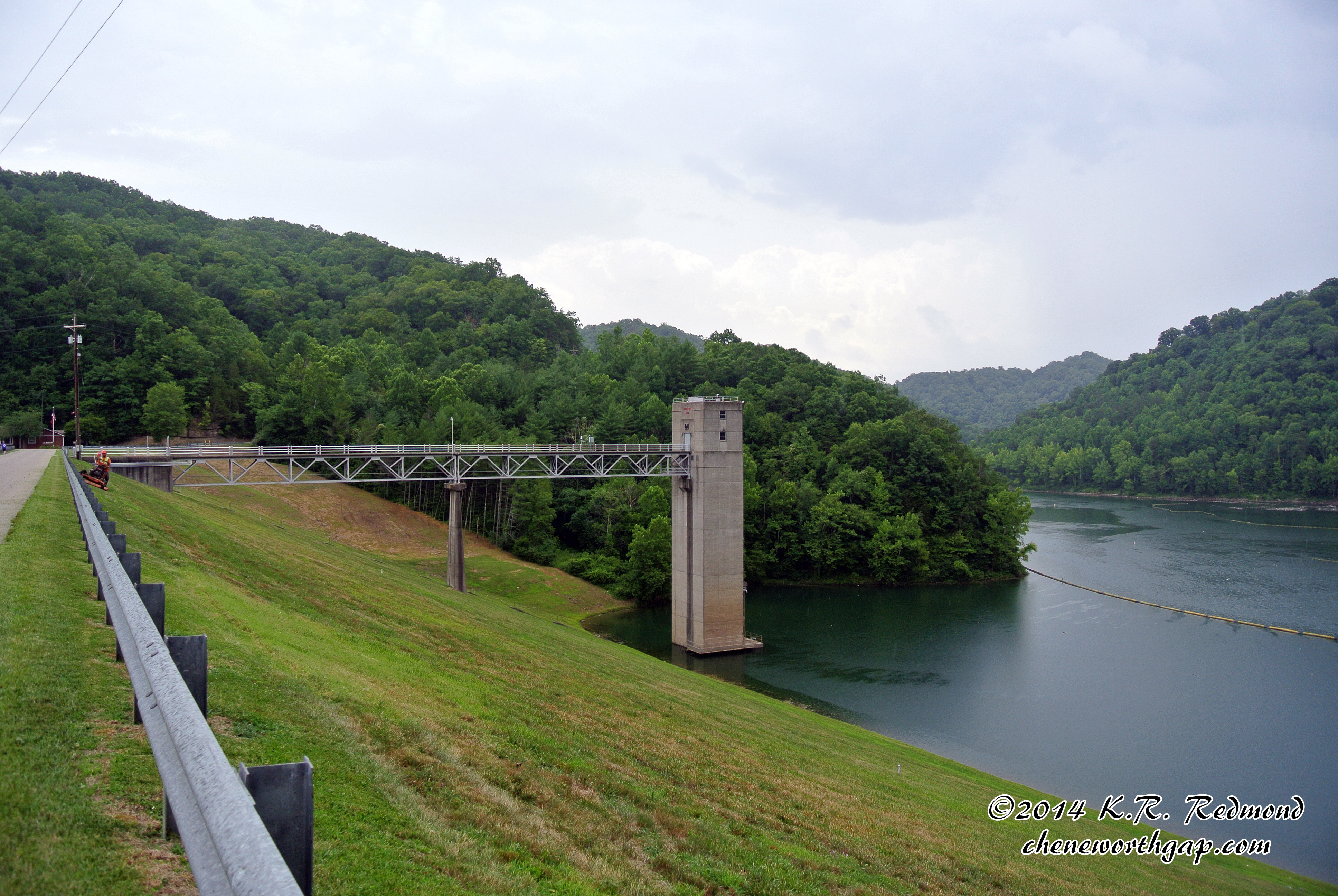
The Upstream Face

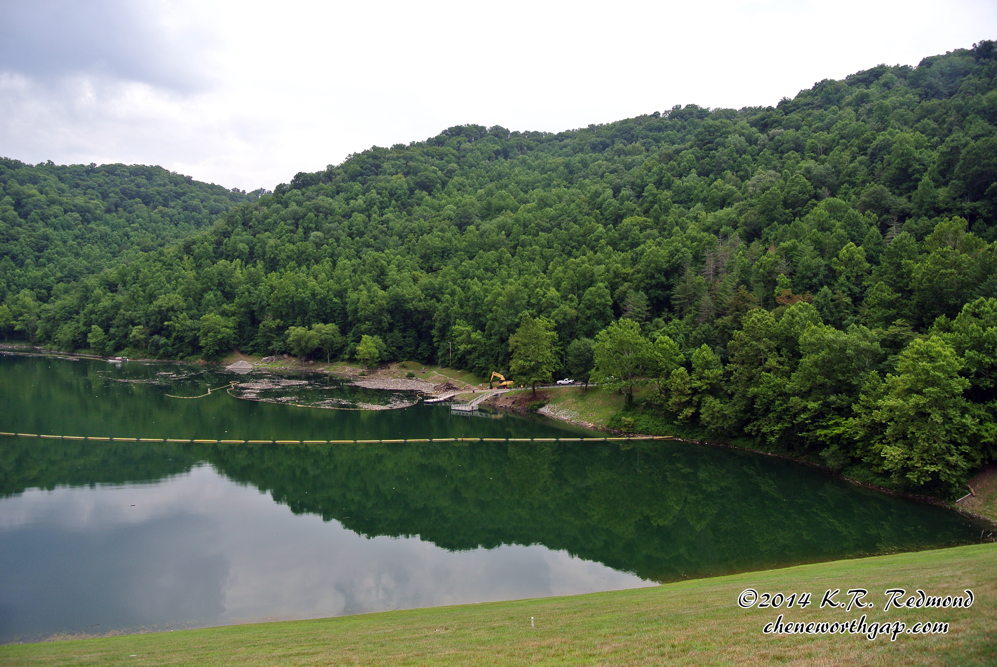
A Quiet Nook
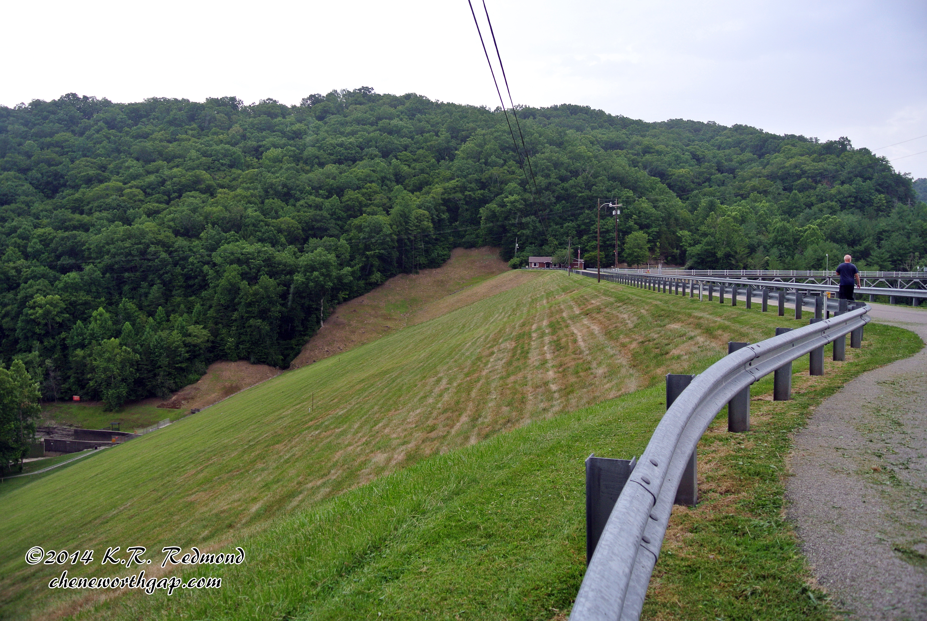
Downstream Face of Buckhorn Dam
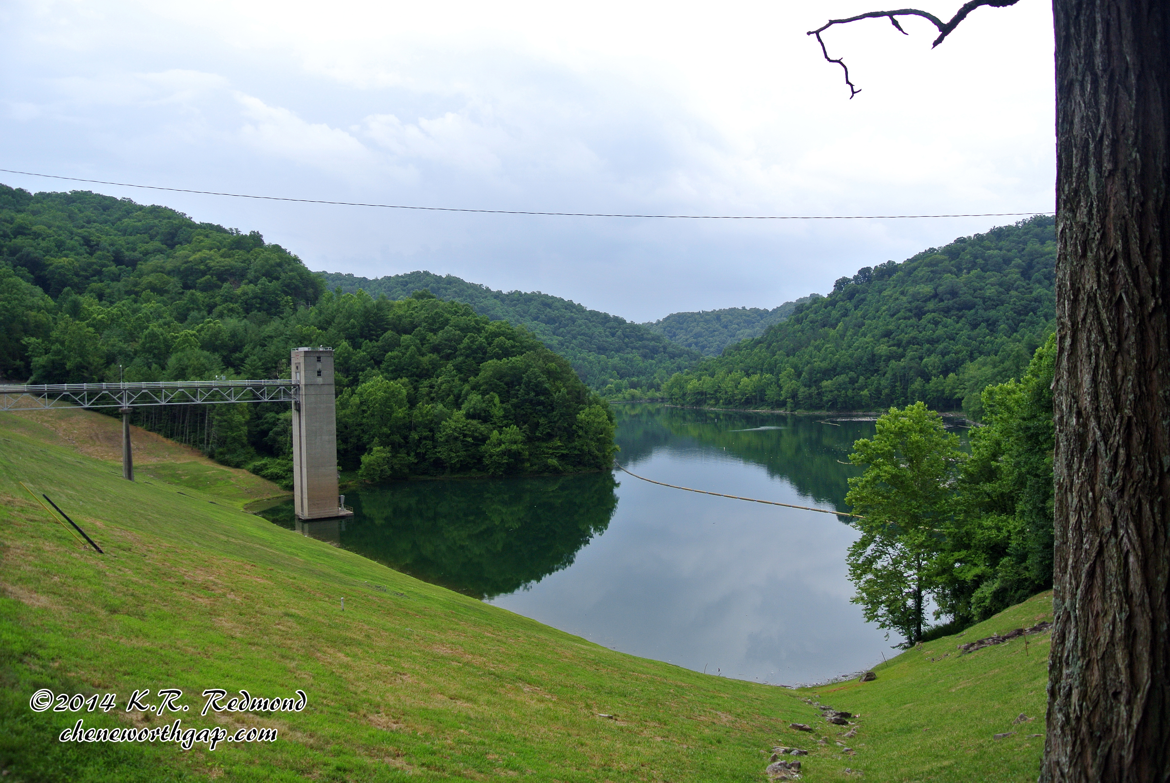
Buckhorn Lake
Upstream Face of Buckhorn Dam
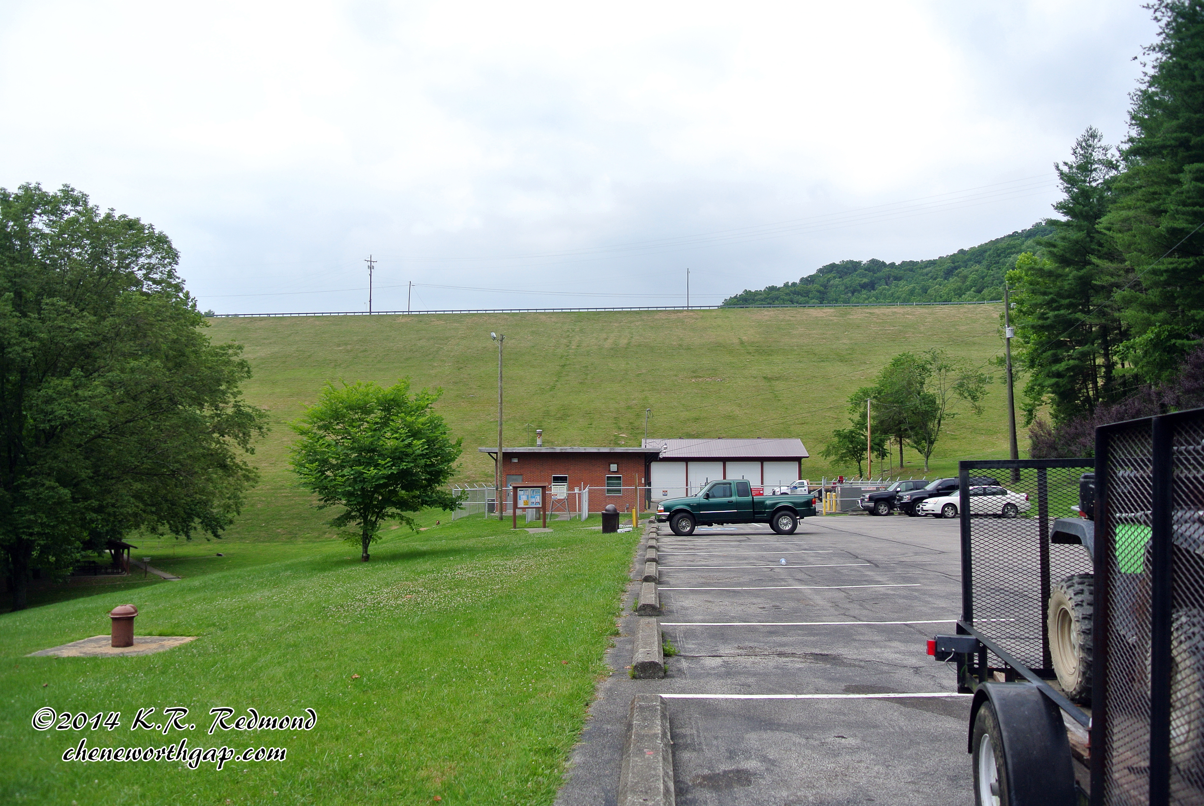
Buckhorn Dam
Topographic Map of State Highway, State Hwy, Buckhorn, KY, USA
Find elevation by address:

Places near State Highway, State Hwy, Buckhorn, KY, USA:
State Highway 2024
Ricetown
Spencer Fork Road
Booneville
Kentucky 28
KY-11, Booneville, KY, USA
Owsley County
Lower Buffalo Creek
State Hwy, Beattyville, KY, USA
North Buffalo Zion Road
Highland-Big Rock Rd, Jackson, KY, USA
Buckhorn
207 Gilliam Rd
Oakdale
Oakdale Christian Academy
Broadway, Beattyville, KY, USA
Beattyville
KY-, Beattyville, KY, USA
5801 Beattyville Rd
Lee County
Recent Searches:
- Elevation of E 63rd St, New York, NY, USA
- Elevation of Elk City, OK, USA
- Elevation of Erika Dr, Windsor, CA, USA
- Elevation of Village Ln, Finleyville, PA, USA
- Elevation of 24 Oakland Rd #, Scotland, ON N0E 1R0, Canada
- Elevation of Deep Gap Farm Rd E, Mill Spring, NC, USA
- Elevation of Dog Leg Dr, Minden, NV, USA
- Elevation of Dog Leg Dr, Minden, NV, USA
- Elevation of Kambingan Sa Pansol Atbp., Purok 7 Pansol, Candaba, Pampanga, Philippines
- Elevation of Pinewood Dr, New Bern, NC, USA