Elevation of Beattyville, KY, USA
Location: United States > Kentucky > Lee County >
Longitude: -83.7068597
Latitude: 37.5717532
Elevation: 203m / 666feet
Barometric Pressure: 0KPa
Related Photos:
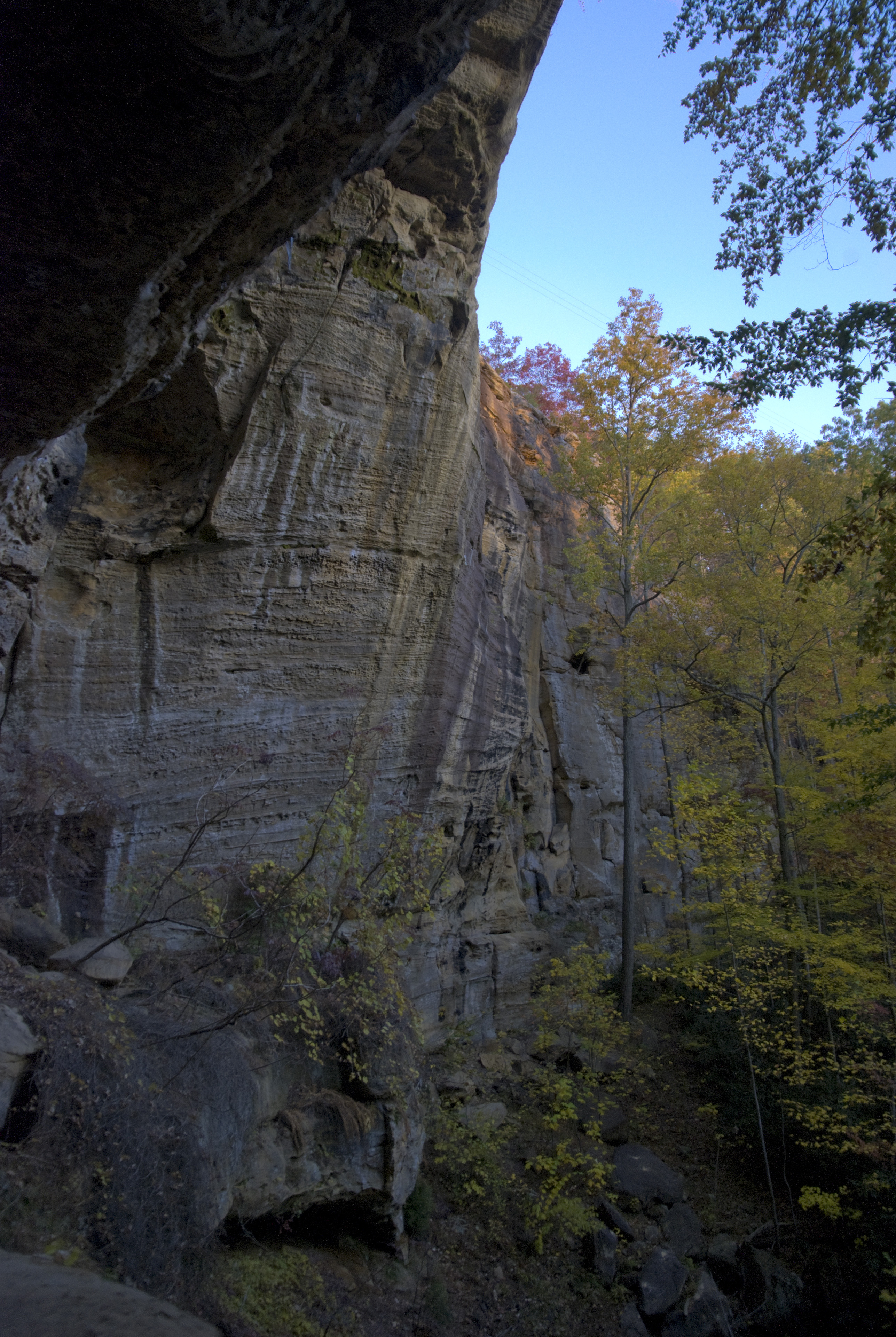
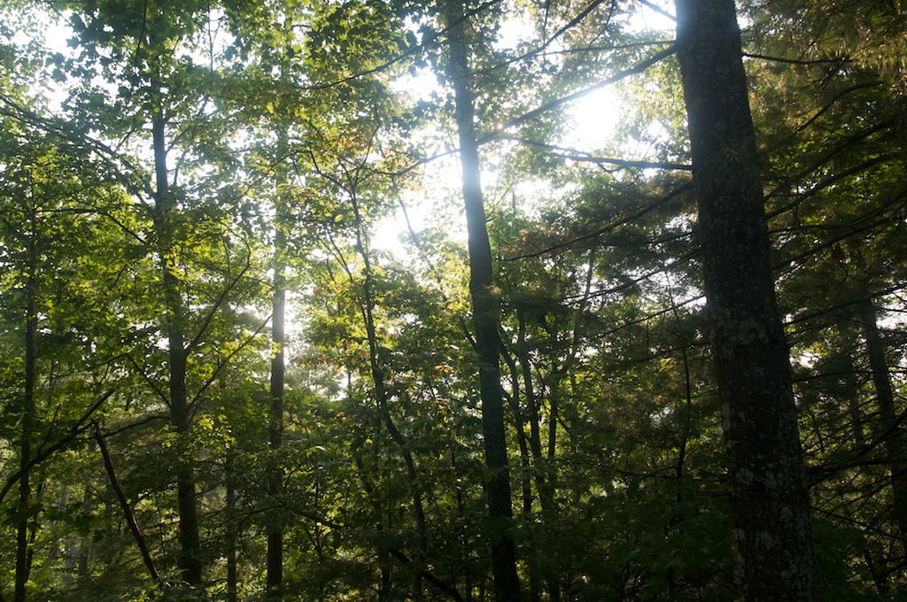
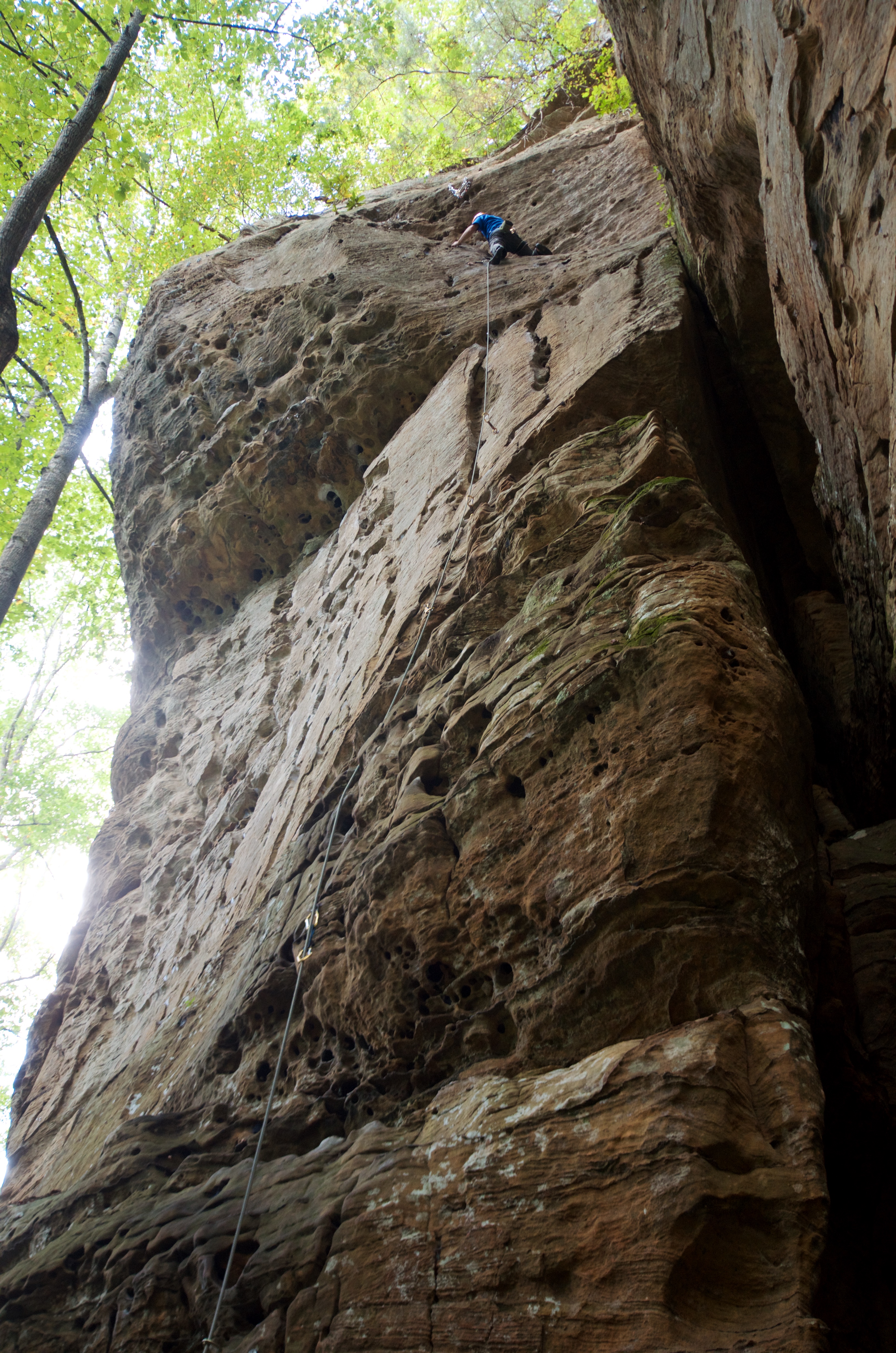
Bob Marley Crag View

along the trail.
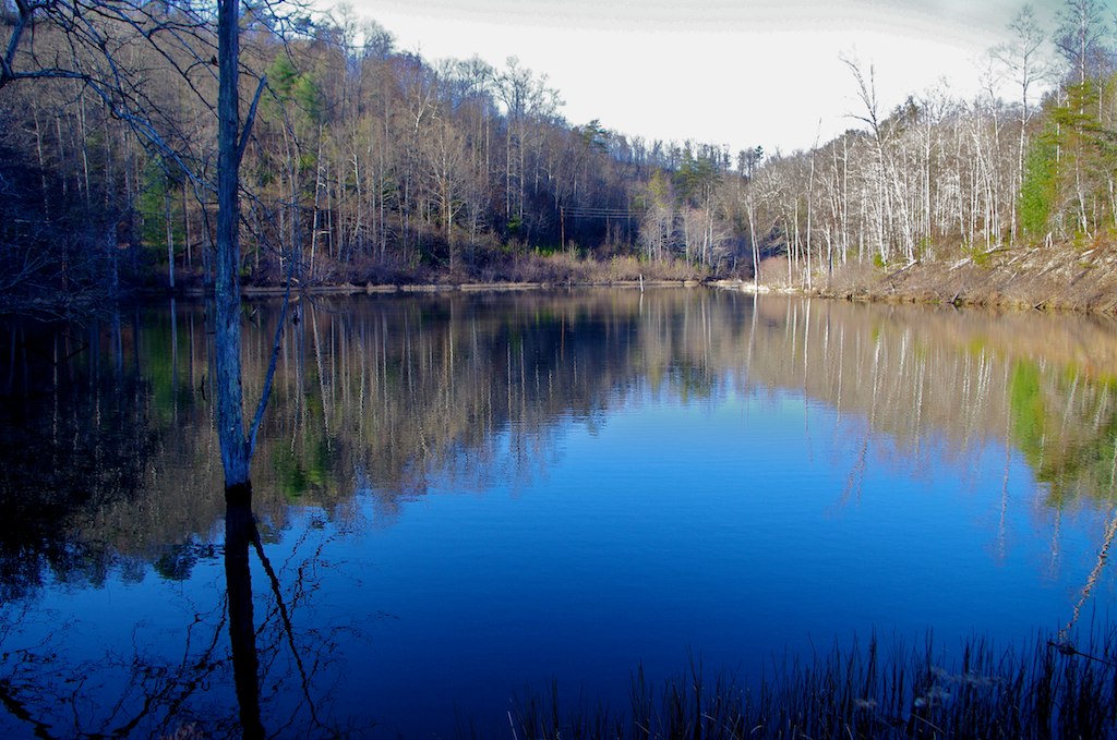
Lake above Cave Fork Rd above Big Sinking Creek
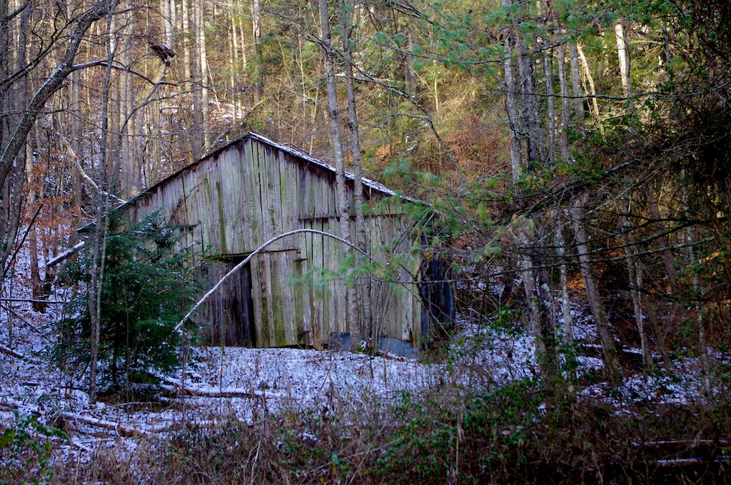
Abandoned barn Zachariah, Kentucky
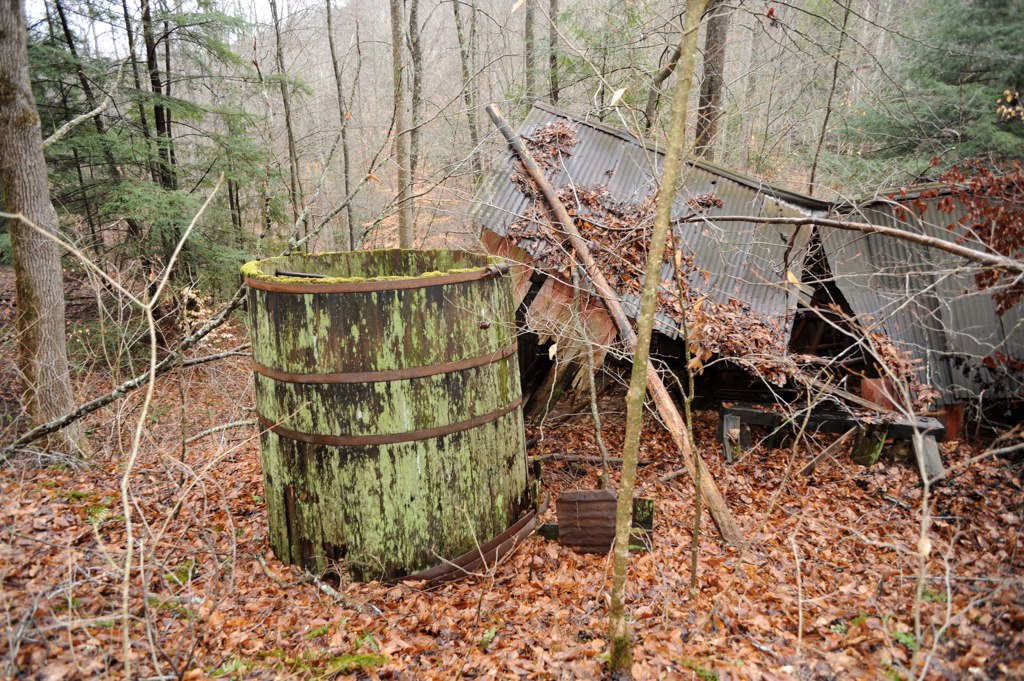
Oilfield powerhouse in Kentucky

Bridge 683-08

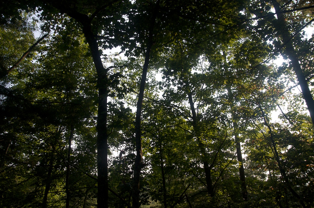
A Quiet Nook
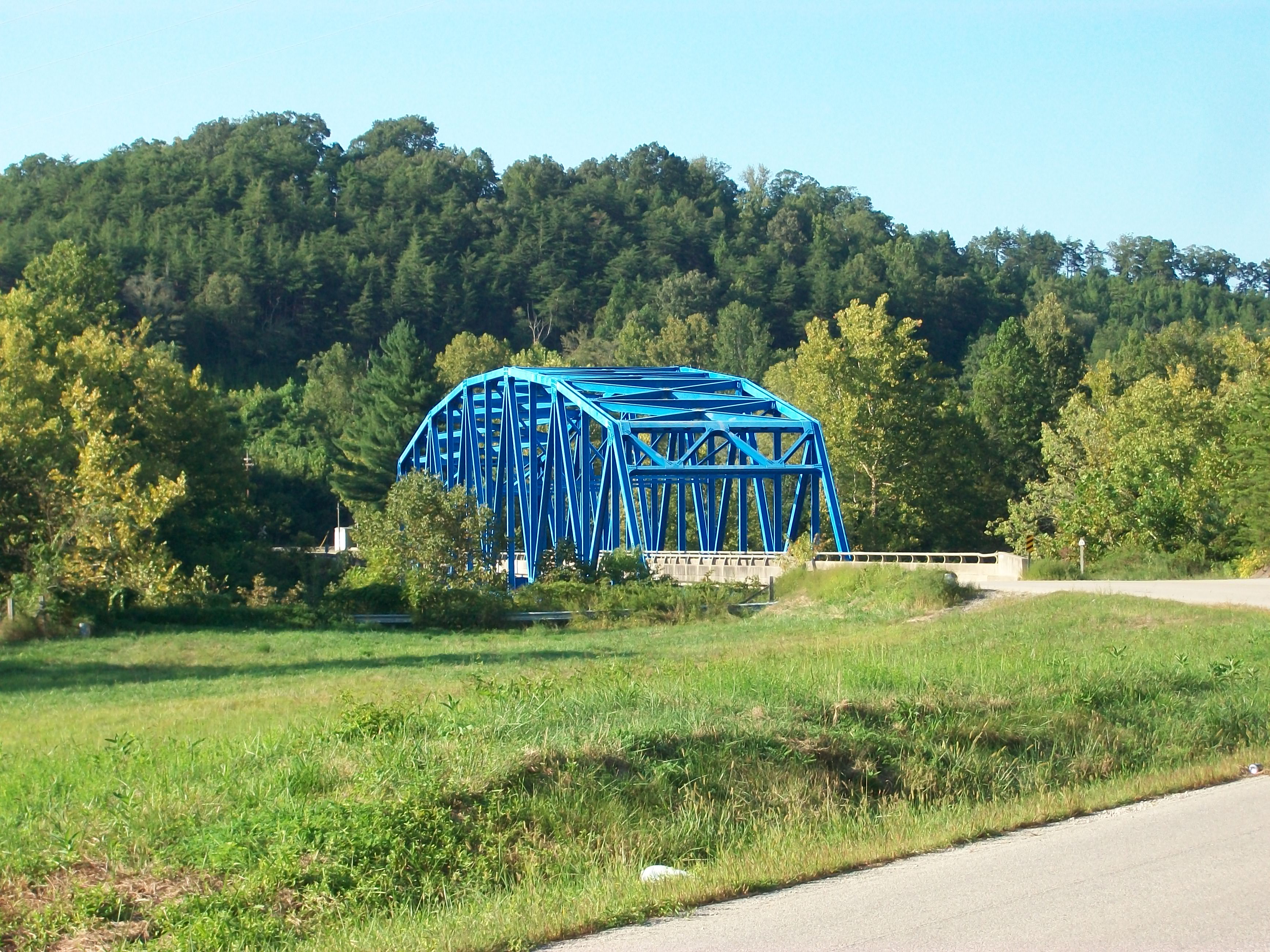
Heidelberg bridge, Heidelberg, Ky.
CabinAug2010 17

Bridge 683-04
CabinAug2010 16

Midwest Trip
Big Sinking Oilfield

big sinking oilfield

Series III-8B

Series III-8B

St George's Day 2013

Volunteer Wall
Nearly there
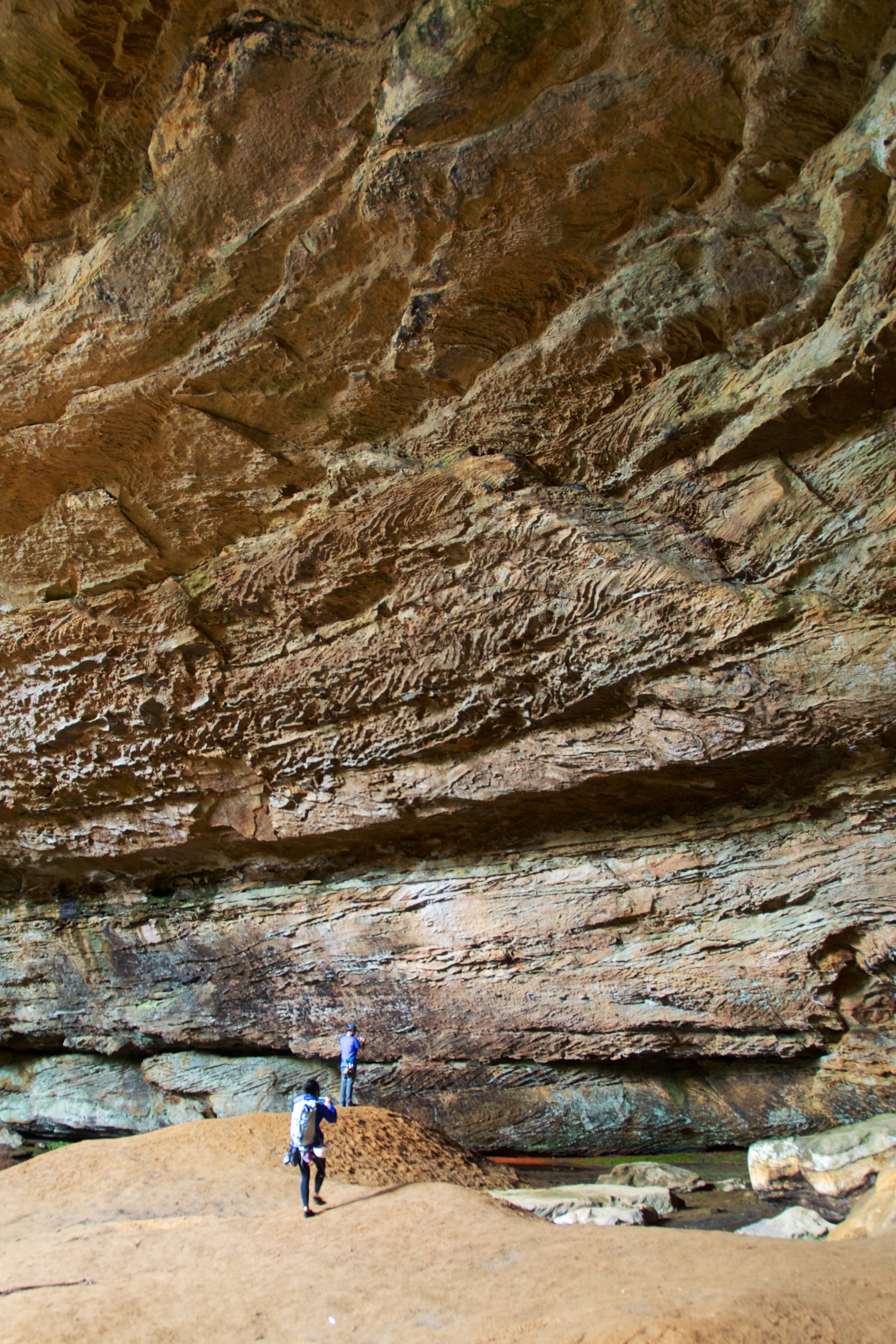
Cool Roof
Topographic Map of Beattyville, KY, USA
Find elevation by address:

Places in Beattyville, KY, USA:
KY-, Beattyville, KY, USA
State Hwy, Beattyville, KY, USA
1065 Shumaker Ridge Rd
Broadway, Beattyville, KY, USA
7453 Ky-52
207 Gilliam Rd
Crestmont Rd, Beattyville, KY, USA
Places near Beattyville, KY, USA:
Broadway, Beattyville, KY, USA
Lee County
Ross Tires Inc
North Buffalo Zion Road
Lower Buffalo Creek
7453 Ky-52
Youth Haven Road
Youth Haven Road
Kentucky Mountain Mission Inc.
Crestmont Rd, Beattyville, KY, USA
KY-11, Booneville, KY, USA
Booneville
1065 Shumaker Ridge Rd
Old Landing
KY-, Beattyville, KY, USA
Evelyn Road
State Hwy, Campton, KY, USA
207 Gilliam Rd
Owsley County
State Hwy, Beattyville, KY, USA
Recent Searches:
- Elevation map of Greenland, Greenland
- Elevation of Sullivan Hill, New York, New York, 10002, USA
- Elevation of Morehead Road, Withrow Downs, Charlotte, Mecklenburg County, North Carolina, 28262, USA
- Elevation of 2800, Morehead Road, Withrow Downs, Charlotte, Mecklenburg County, North Carolina, 28262, USA
- Elevation of Yangbi Yi Autonomous County, Yunnan, China
- Elevation of Pingpo, Yangbi Yi Autonomous County, Yunnan, China
- Elevation of Mount Malong, Pingpo, Yangbi Yi Autonomous County, Yunnan, China
- Elevation map of Yongping County, Yunnan, China
- Elevation of North 8th Street, Palatka, Putnam County, Florida, 32177, USA
- Elevation of 107, Big Apple Road, East Palatka, Putnam County, Florida, 32131, USA
- Elevation of Jiezi, Chongzhou City, Sichuan, China
- Elevation of Chongzhou City, Sichuan, China
- Elevation of Huaiyuan, Chongzhou City, Sichuan, China
- Elevation of Qingxia, Chengdu, Sichuan, China
- Elevation of Corso Fratelli Cairoli, 35, Macerata MC, Italy
- Elevation of Tallevast Rd, Sarasota, FL, USA
- Elevation of 4th St E, Sonoma, CA, USA
- Elevation of Black Hollow Rd, Pennsdale, PA, USA
- Elevation of Oakland Ave, Williamsport, PA, USA
- Elevation of Pedrógão Grande, Portugal