Elevation of Stanley Rd, Springvale, ME, USA
Location: United States > Maine > York County > Sanford > Sanford > Springvale >
Longitude: -70.809961
Latitude: 43.4831699
Elevation: -10000m / -32808feet
Barometric Pressure: 295KPa
Elevation Map:
Satellite Map:
Related Photos:

Slow Boat to.....Cynthia at Estes Lake

blue heron crouching

"Clearing Skies"

Where Clouds and Snow Meet b&w

Magical Mystery Tour

the Private runway

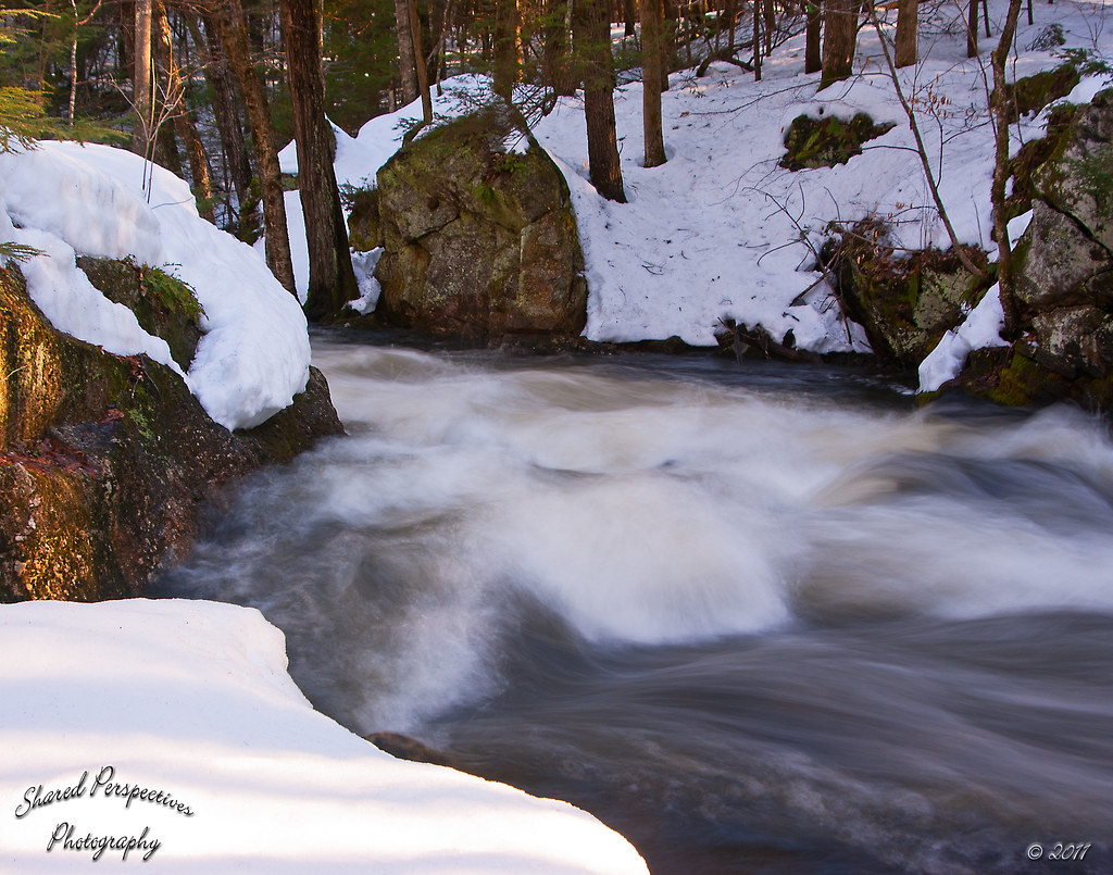
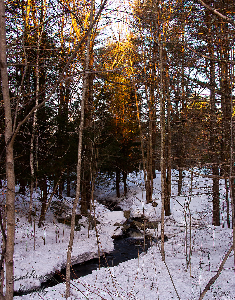
Frozen Falls

Rt 202 stone bridge

Another view.

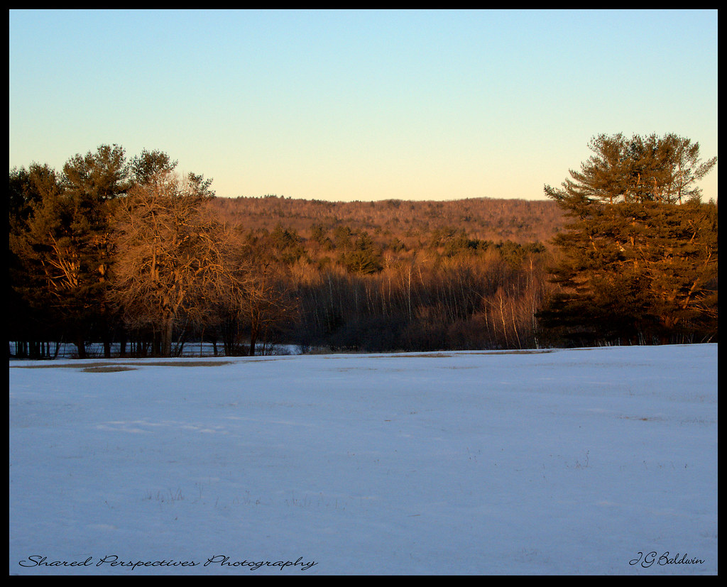
Morning View

Sharing the day and the view with our good friend Donna ;-), Mousavi Lake in Shapleigh

Little Ossipee foggy sunrise
Sun kissed trees

♥ ♥ ♥

Ice formation

morning view from hospital hill

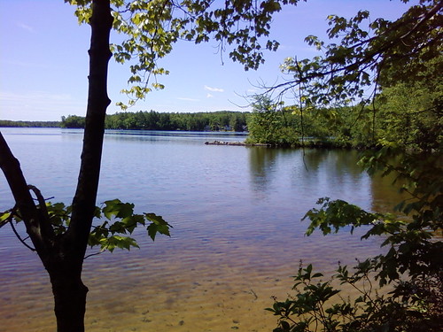
View From The Beach
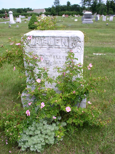
Rufus Allen

Kennebunk Rd dam

view across mousam
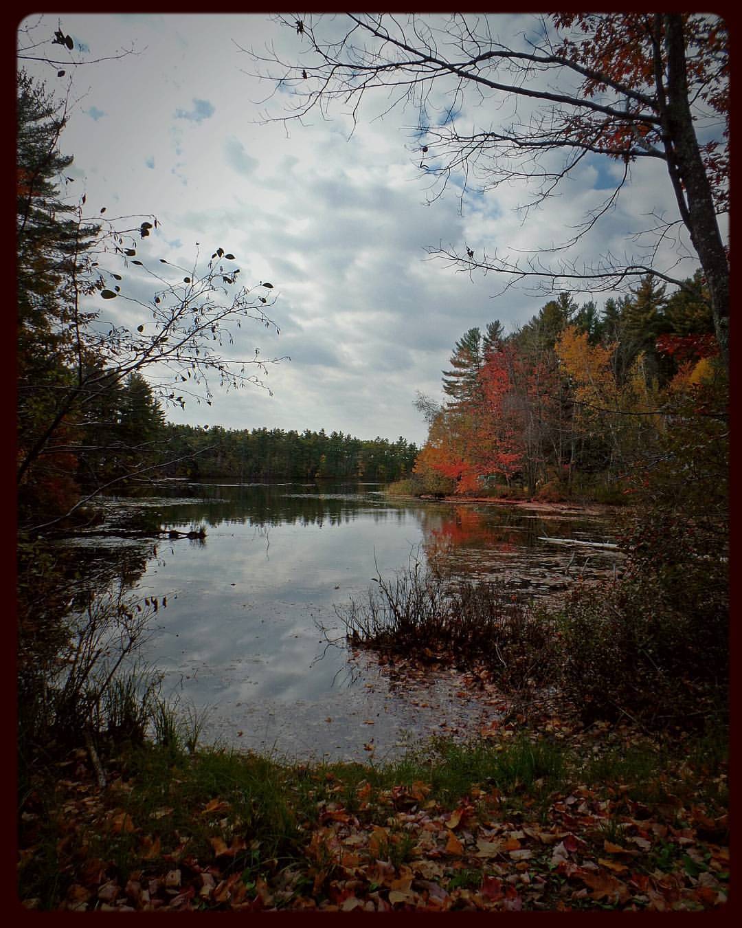
Farewell ho Fall, Wadleigh Pond

The marshy side of Wadleigh Pond

Sun on the hill

Spring's Rage

Twilight on the Pond

"Autumn Gold"

Bunganut Lake - Alfred, ME

Picture 066
Raging Waters
Morning Light

Peninsula and Jet Ski

Bunganut Lake - Alfred, ME

#photo #tagged to Team #airboataddicts by and go #follow #airboataddict @danrightt TB to #fathersday2016 his #babygirl and the #airboat #fanboat out in #lakekissimmee #kissimmeechainoflakes #squarepond #billygoatmound this #airboatlife #lakelife to #ride2

Clouds Breaking

Oakdale Cemetery Sanford, Maine
UW_Day_of_Caring_2009-03

Down Maine. And up again.

Picture 058
Topographic Map of Stanley Rd, Springvale, ME, USA
Find elevation by address:

Places near Stanley Rd, Springvale, ME, USA:
6 Fairoaks Dr
1084 Back Rd
Springvale
328 Elm St
Hanson Ridge Road
Windy Ridge Lane
12 Hoyt St
201 Emery Mills Rd
103 Sunset Rd
337 Simon Ricker Rd
Deering Ridge Road
Shaws Ridge Road
14 Grove St
10 Haig St
60 Fort Ridge Rd
54 Fort Ridge Rd
17 Jellerson Rd
Sanford
Sanford
19 School St
Recent Searches:
- Elevation of Lampiasi St, Sarasota, FL, USA
- Elevation of Elwyn Dr, Roanoke Rapids, NC, USA
- Elevation of Congressional Dr, Stevensville, MD, USA
- Elevation of Bellview Rd, McLean, VA, USA
- Elevation of Stage Island Rd, Chatham, MA, USA
- Elevation of Shibuya Scramble Crossing, 21 Udagawacho, Shibuya City, Tokyo -, Japan
- Elevation of Jadagoniai, Kaunas District Municipality, Lithuania
- Elevation of Pagonija rock, Kranto 7-oji g. 8"N, Kaunas, Lithuania
- Elevation of Co Rd 87, Jamestown, CO, USA
- Elevation of Tenjo, Cundinamarca, Colombia