Elevation of 14 Grove St, Sanford, ME, USA
Location: United States > Maine > York County > Sanford > Sanford > Sanford >
Longitude: -70.784312
Latitude: 43.4422869
Elevation: 92m / 302feet
Barometric Pressure: 100KPa
Elevation Map:
Satellite Map:
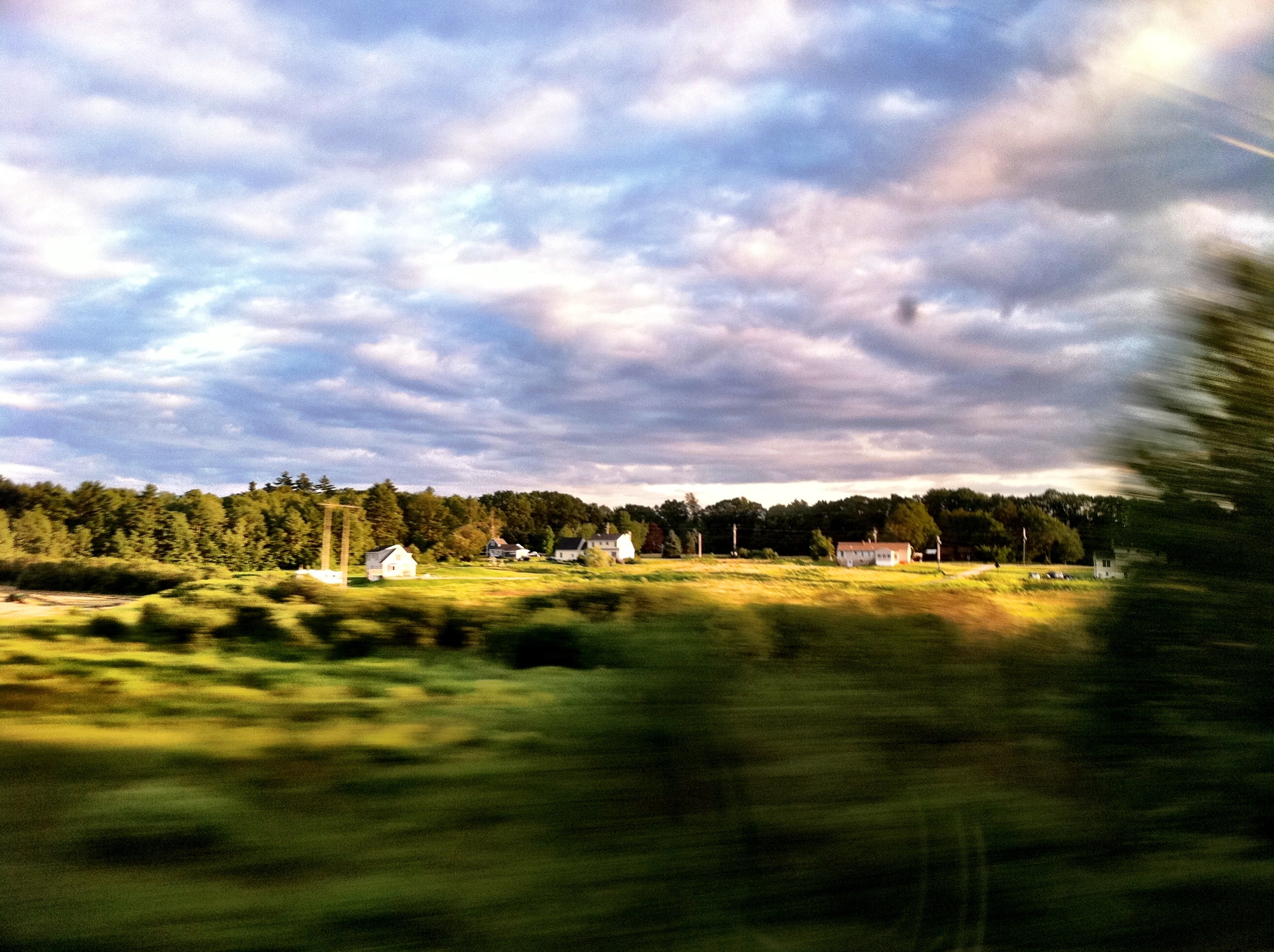
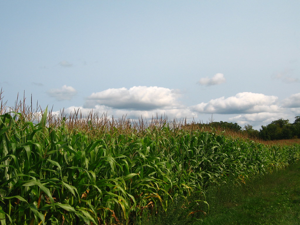
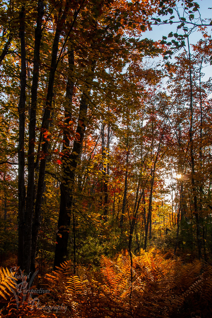
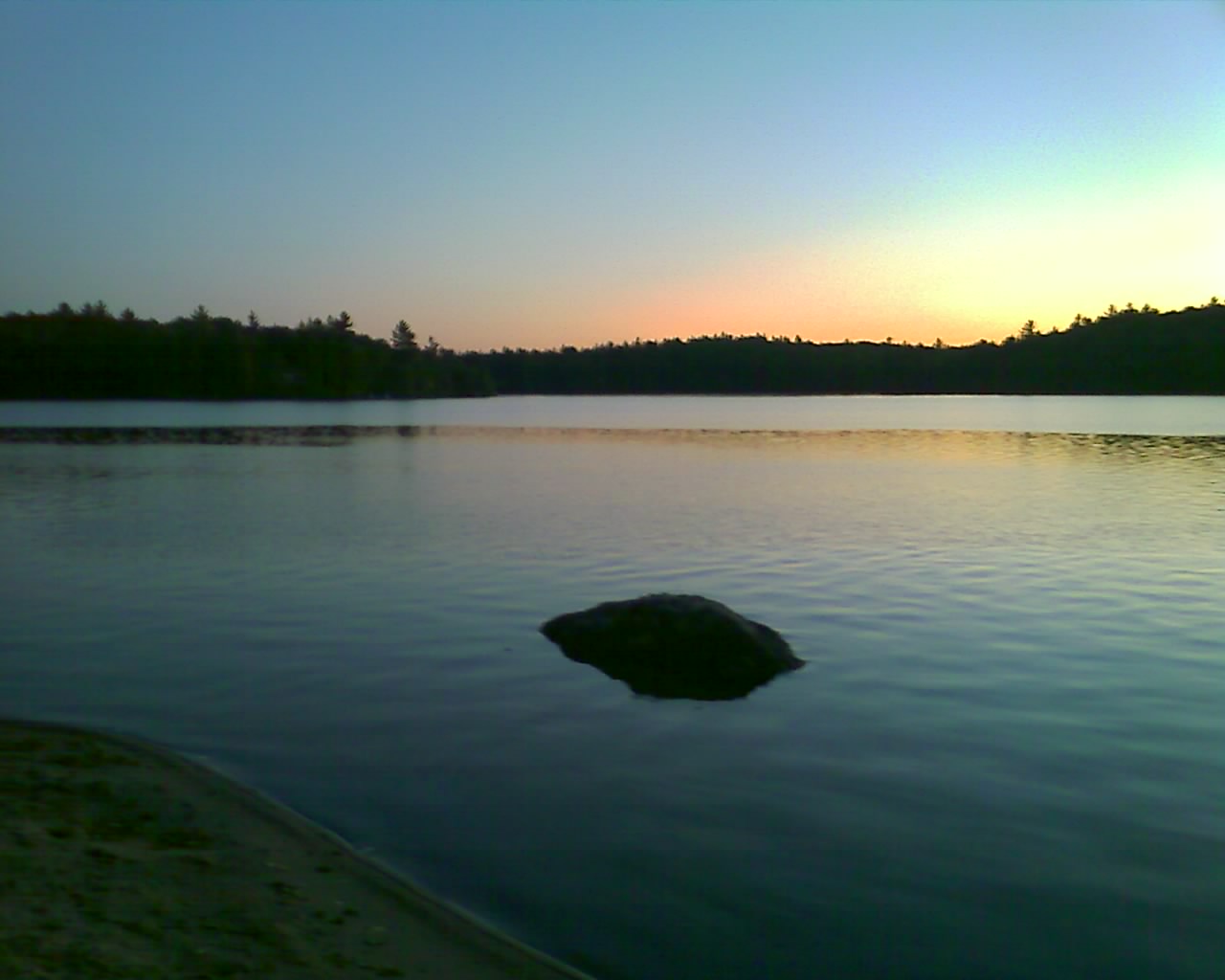
Related Photos:

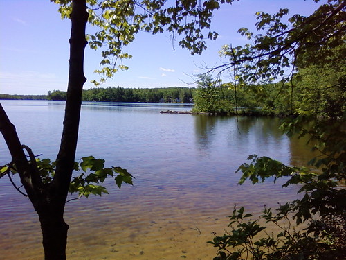
Magical Mystery Tour

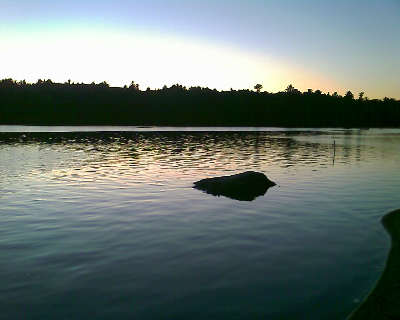
Slow Boat to.....Cynthia at Estes Lake

Another view.
Morning View
Where Clouds and Snow Meet b&w
In the Clouds
the Private runway

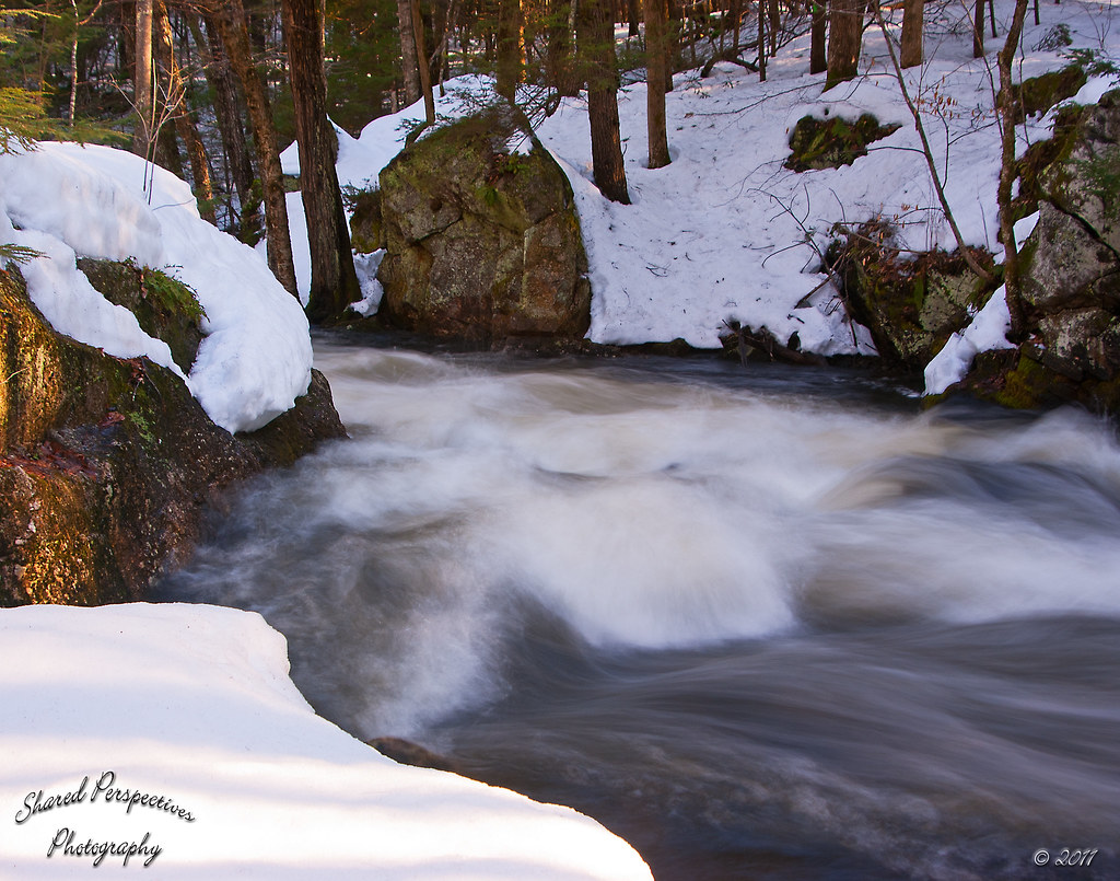
Frozen Falls
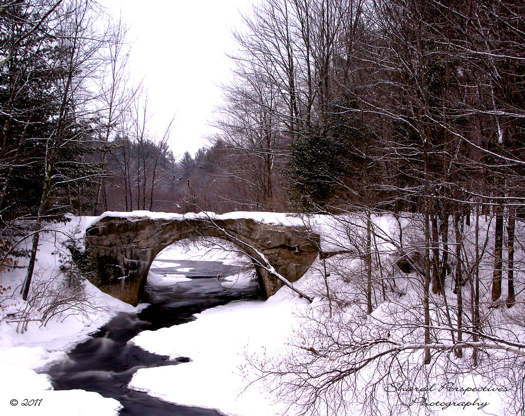
Rt 202 stone bridge
Sun kissed trees

♥ ♥ ♥
NBLC from Elm Street
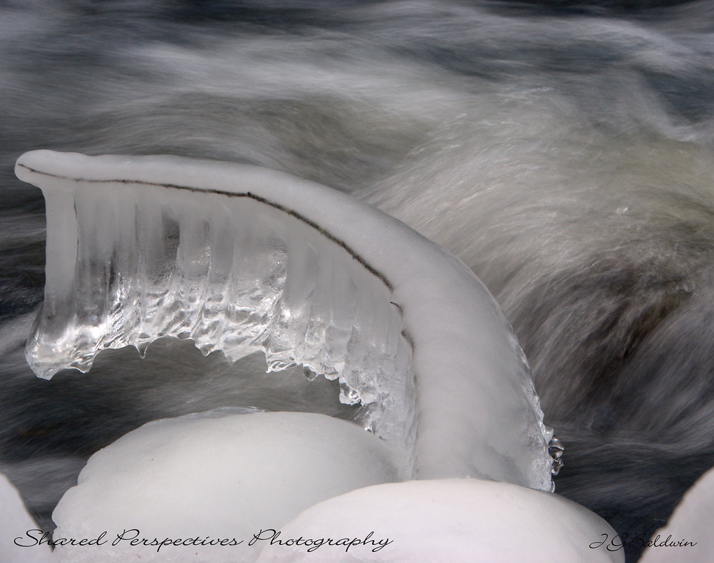
Ice formation
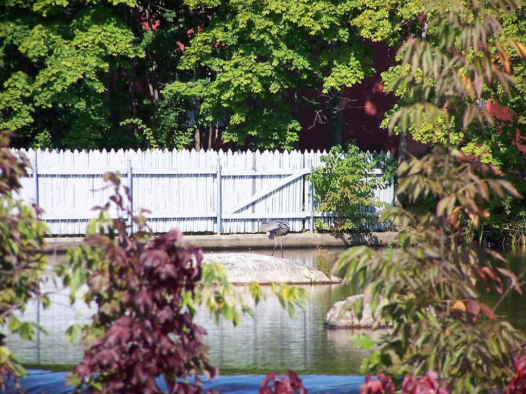
blue heron crouching
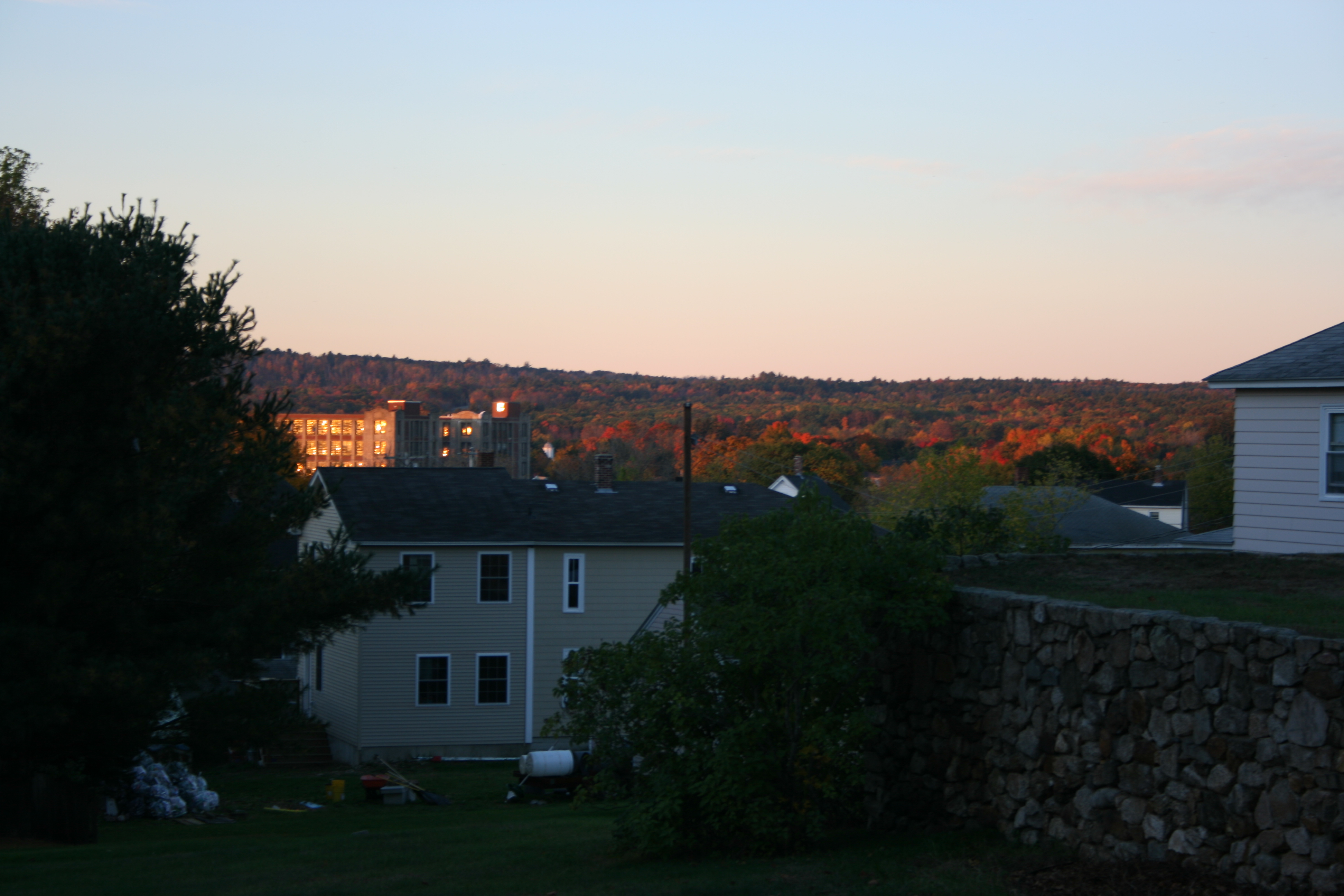
morning view from hospital hill
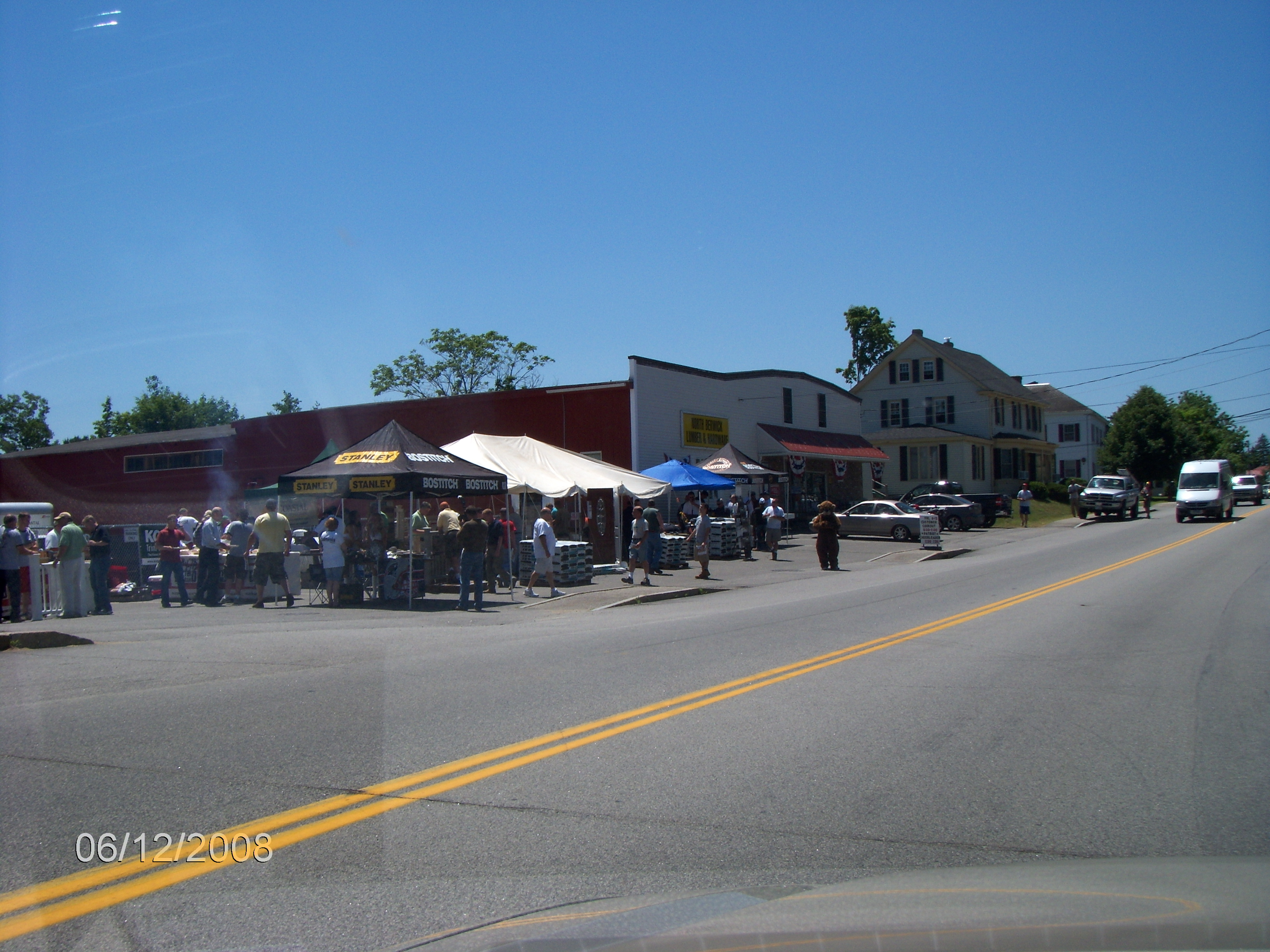
NBLC from across the street on Customer Appreciation Day
View From The Beach
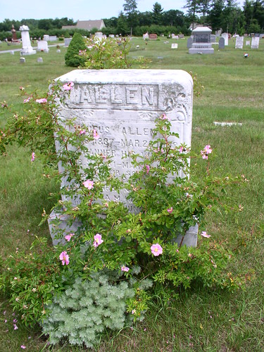
Rufus Allen
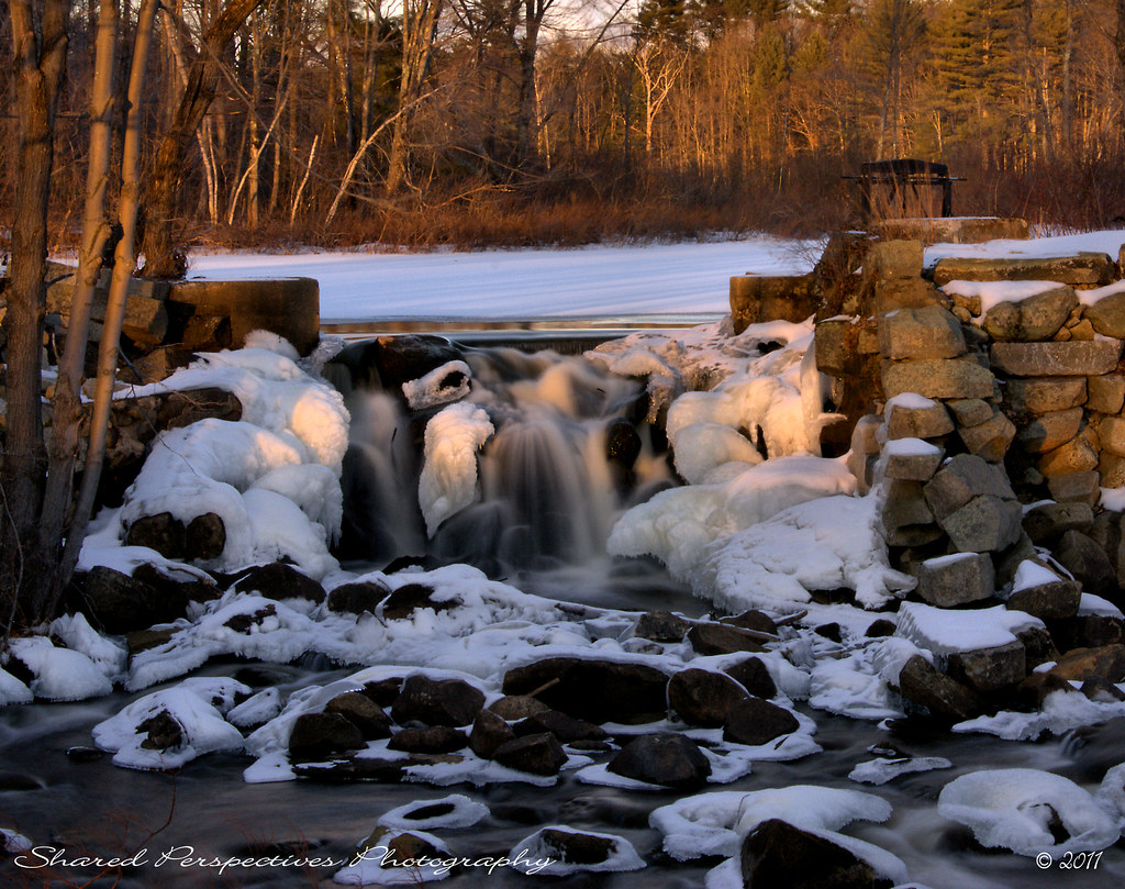
Kennebunk Rd dam
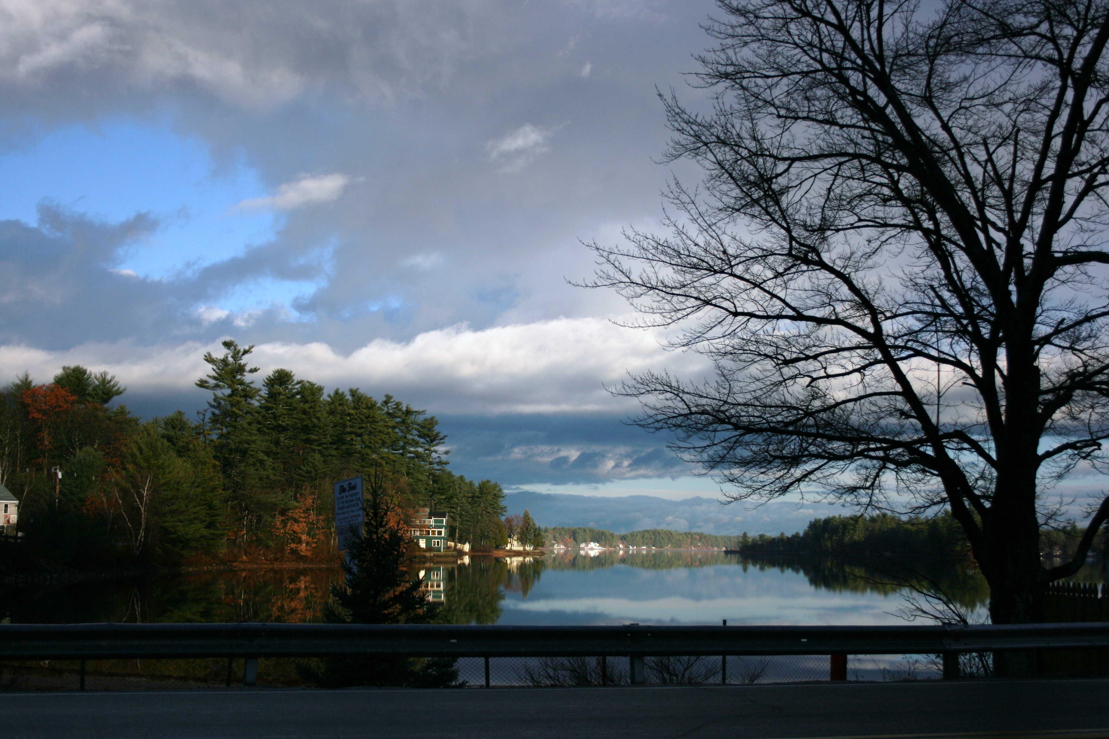
view across mousam
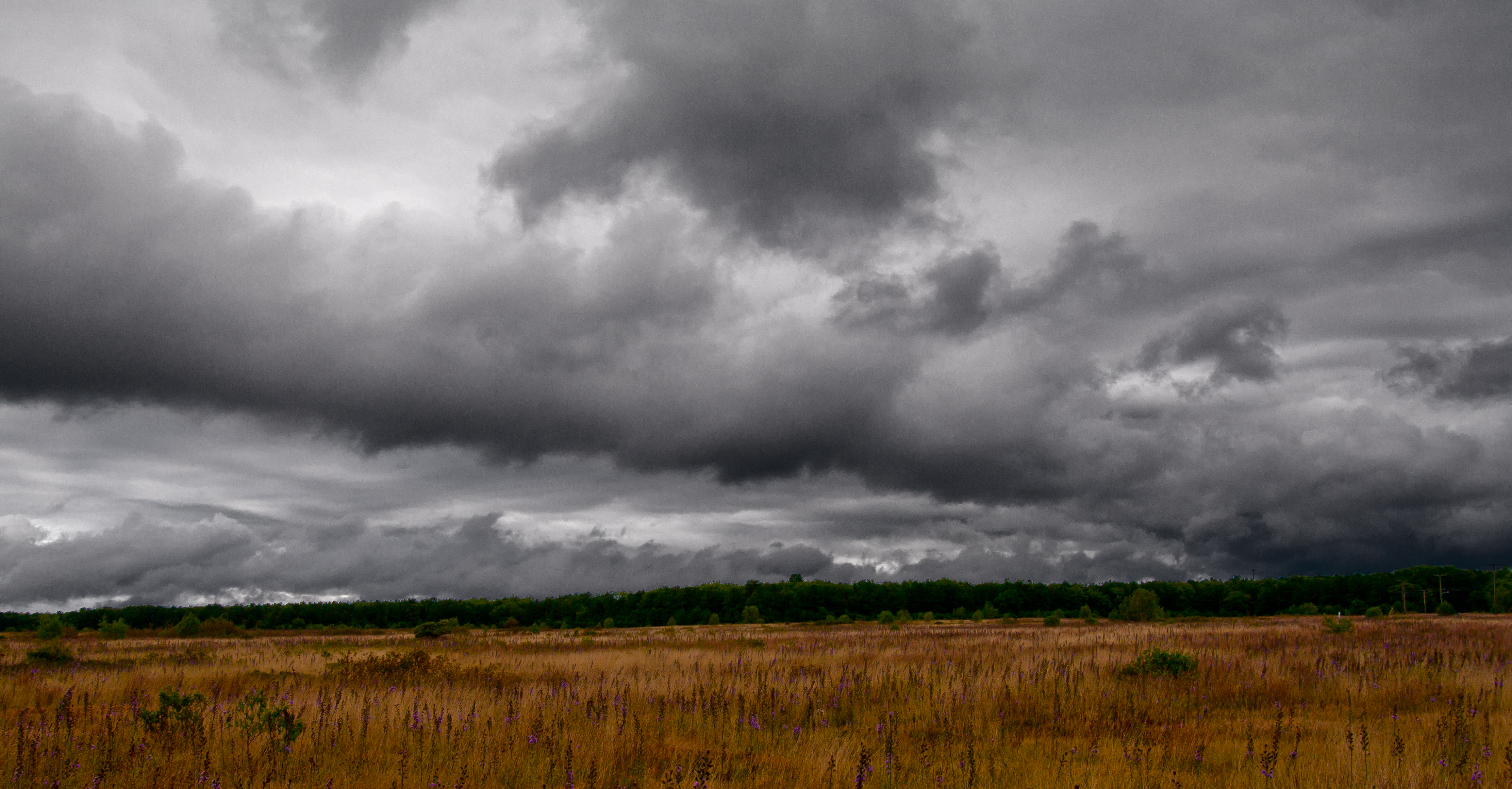
Storm Front
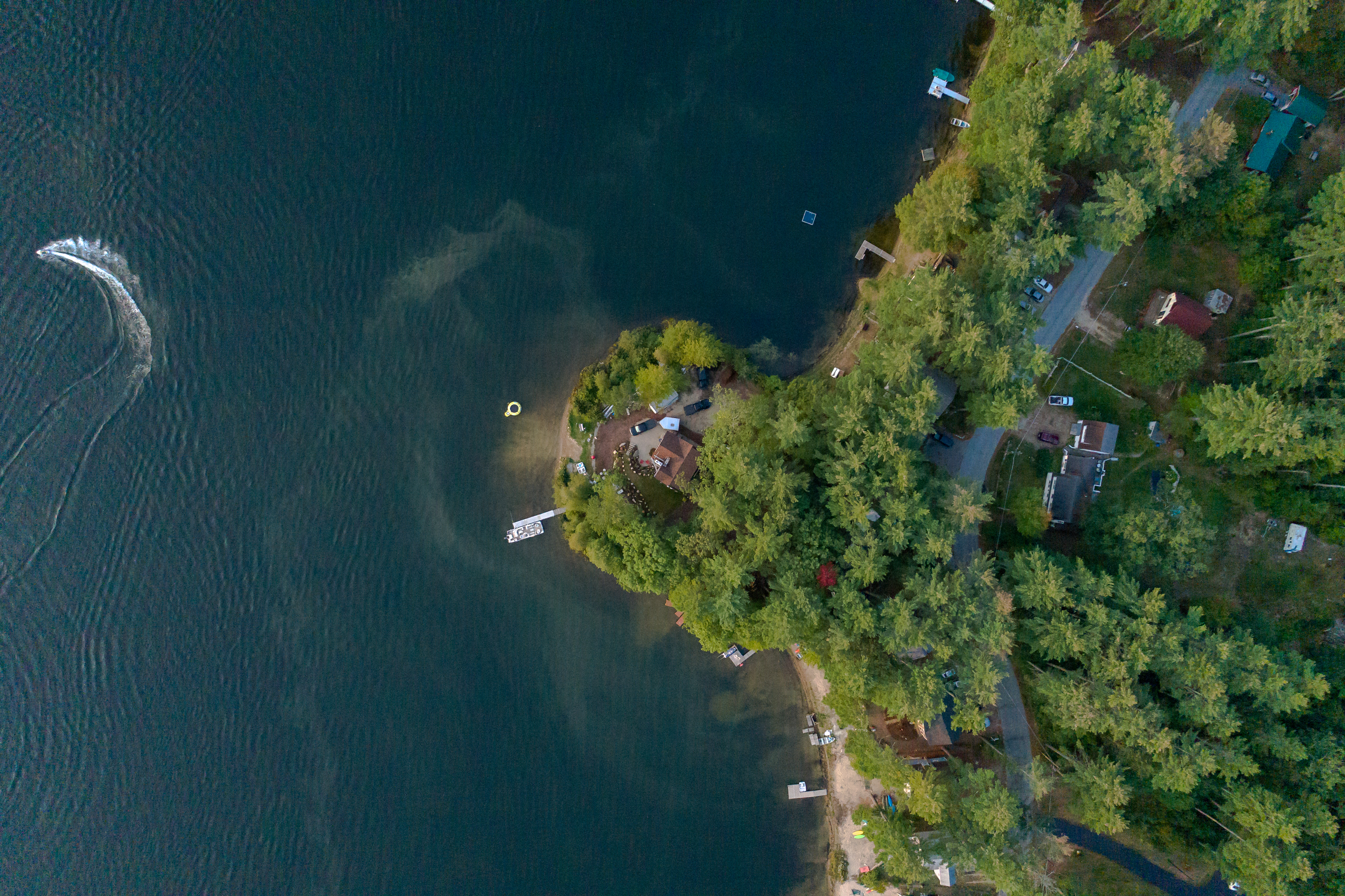
Peninsula and Jet Ski

Clouds Breaking
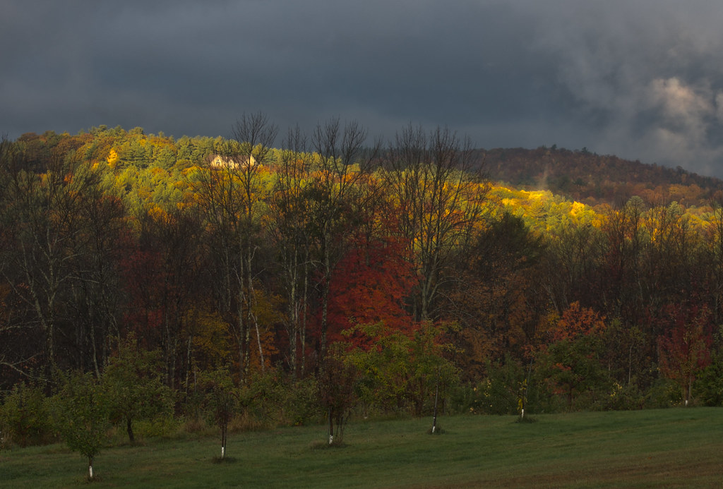
Sun on the hill
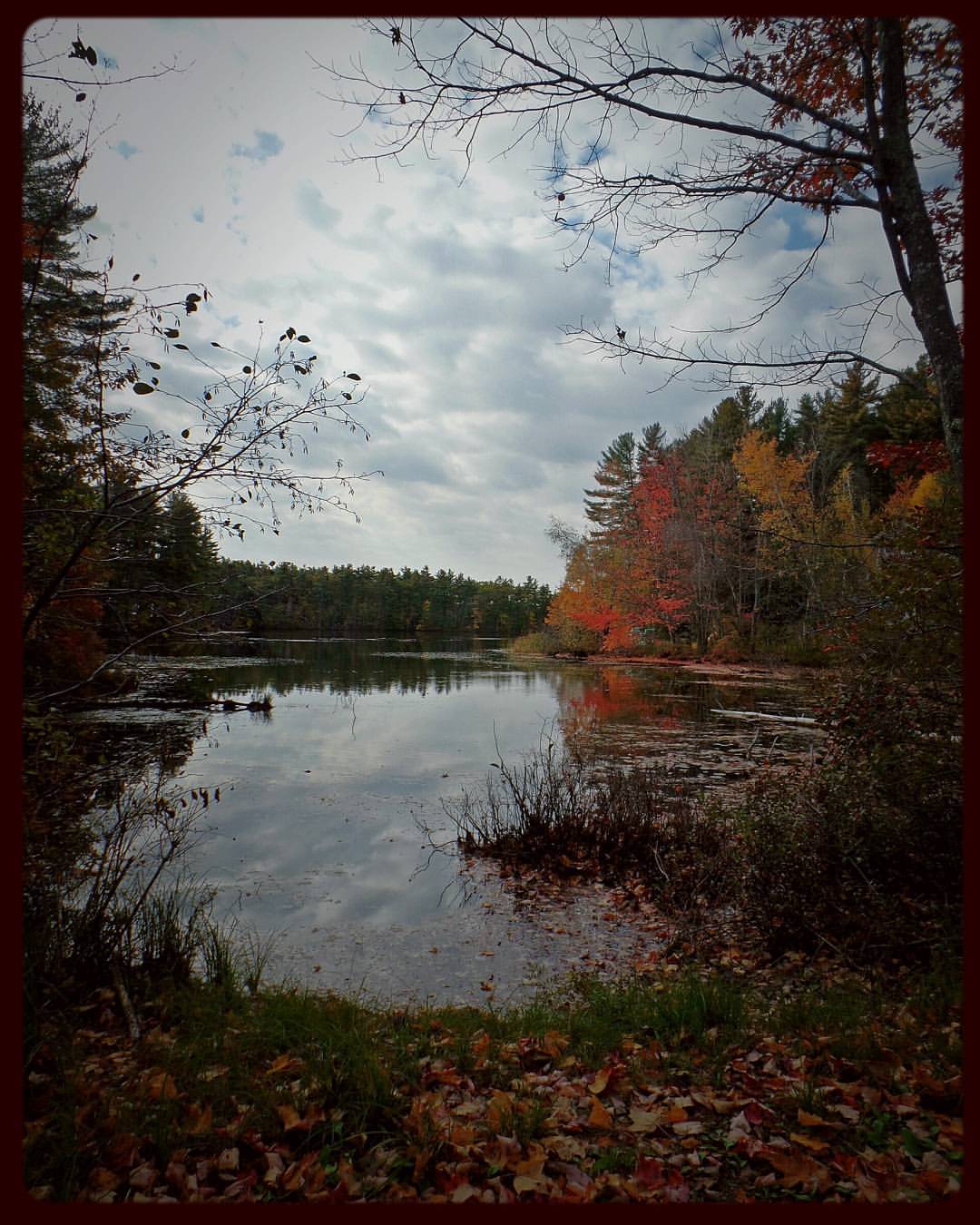
Farewell ho Fall, Wadleigh Pond
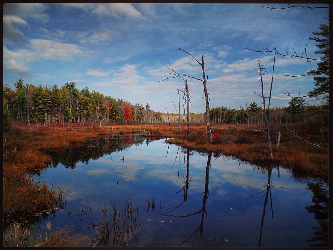
The marshy side of Wadleigh Pond
Camera Roll-225

Spring's Rage
Picture 066
"Autumn Gold"
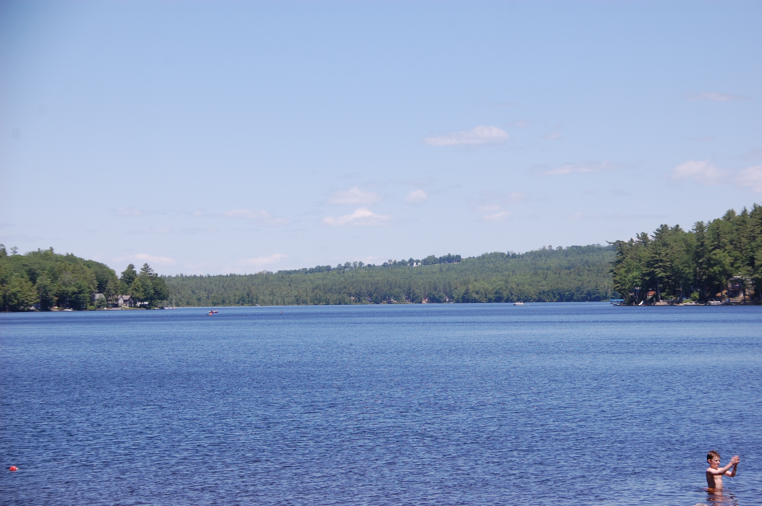
Bunganut Lake - Alfred, ME
Raging Waters
Bunganut Lake - Alfred, ME

#photo #tagged to Team #airboataddicts by and go #follow #airboataddict @danrightt TB to #fathersday2016 his #babygirl and the #airboat #fanboat out in #lakekissimmee #kissimmeechainoflakes #squarepond #billygoatmound this #airboatlife #lakelife to #ride2
Picture 160
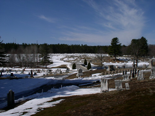
Oakdale Cemetery Sanford, Maine
UW_Day_of_Caring_2009-03
Picture 058
Topographic Map of 14 Grove St, Sanford, ME, USA
Find elevation by address:

Places near 14 Grove St, Sanford, ME, USA:
10 Haig St
Sanford
Sanford
19 School St
12 Hoyt St
17 Jellerson Rd
9 Walkers Ridge Dr
Shaws Ridge Road
54 Schuler St
Springvale
Hanson Ridge Road
Windy Ridge Lane
328 Elm St
104 Stanley Rd
6 Fairoaks Dr
103 Sunset Rd
1084 Back Rd
Brackett Hill
50 Waterboro Rd
8 Kennebunk Rd
Recent Searches:
- Elevation of Crocker Dr, Vacaville, CA, USA
- Elevation of Pu Ngaol Community Meeting Hall, HWHM+3X7, Krong Saen Monourom, Cambodia
- Elevation of Royal Ontario Museum, Queens Park, Toronto, ON M5S 2C6, Canada
- Elevation of Groblershoop, South Africa
- Elevation of Power Generation Enterprises | Industrial Diesel Generators, Oak Ave, Canyon Country, CA, USA
- Elevation of Chesaw Rd, Oroville, WA, USA
- Elevation of N, Mt Pleasant, UT, USA
- Elevation of 6 Rue Jules Ferry, Beausoleil, France
- Elevation of Sattva Horizon, 4JC6+G9P, Vinayak Nagar, Kattigenahalli, Bengaluru, Karnataka, India
- Elevation of Great Brook Sports, Gold Star Hwy, Groton, CT, USA